Search the Community
Showing results for tags 'marianas'.
Found 8 results
-
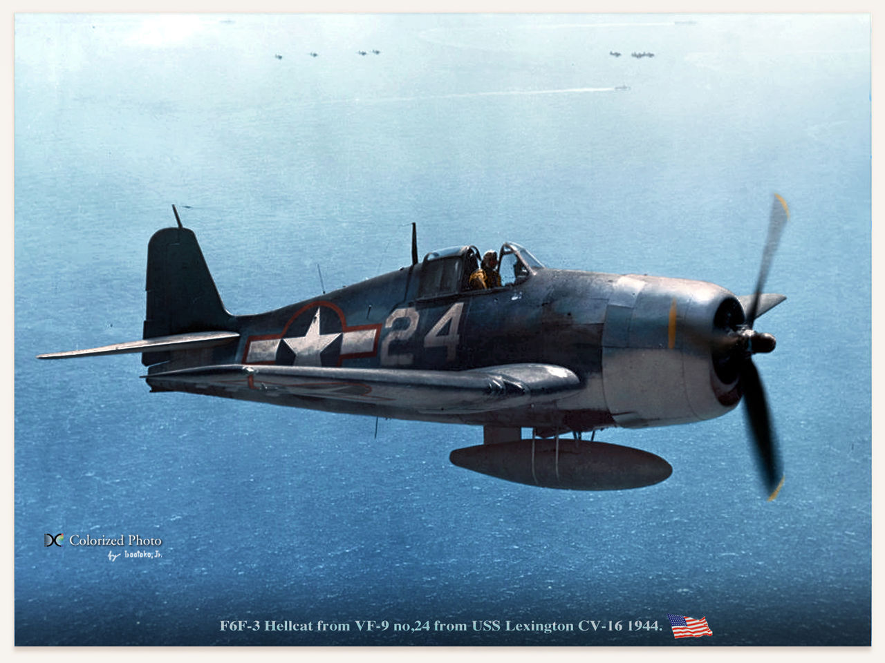
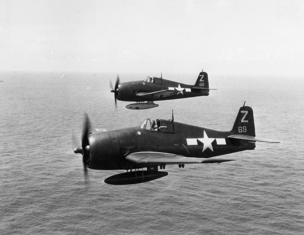
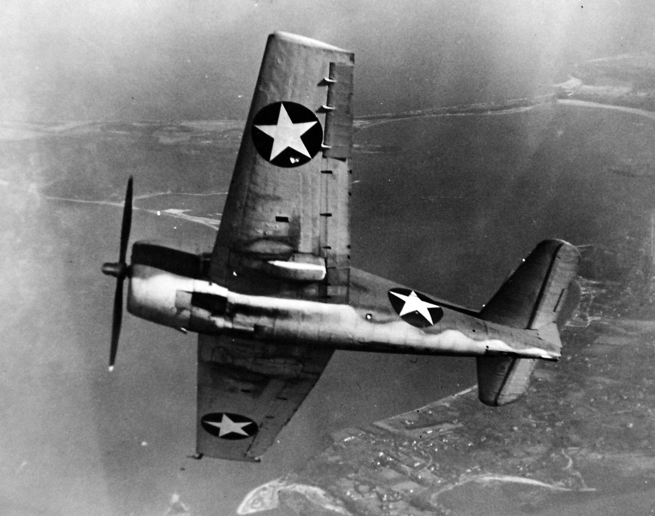
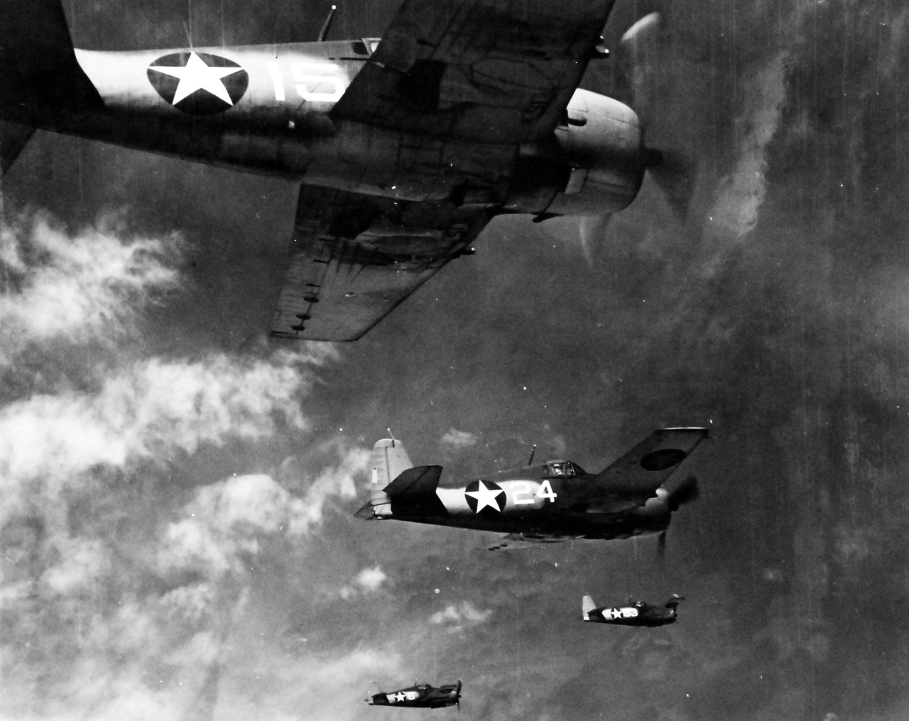
 Guys the F6F is coming! AMAZING! Probably coming in 2023, a comment under the "2023 and beyond" video that said something like "F6F in 2023, it's gonna be a fun year" received a heart by ED, so yea F6F in 2023 confirmed. I'll provide screenshots of the comment later. This is the main Thread for the F6F developement rumors, ideas, updates and news! Feel free to contribute as you wish. COOL PHOTOS OF THE HELLCAT ARE WELCOME! LET THE DISCUSSIONS BEGIN!
- 122 replies
-
- 8
-

-
- ww2
- pacific theater
- (and 3 more)
-
Hi! Recently experienced an annoying bug in the Cold and dark instant mission for F-16C Viper on the Marianas map. During the start up, an other Viper in front of me starts up too and starts to taxi to runway. In the same time a HMTT Tanker comes from the opposite diection of the airfield. The viper stops and the tanker makes a turn but at the end they collide and both of them will explode. Tested more times. Attached plese find a picture and the track file. Please check it. Thanks in advance! Pootj78 Marianas_Viper_Cold_IM_Bug.trk
-
Dear Eagle Dynamics, Over at 4YA we've been getting a few reports of players logging onto our servers and either imidiately or almost imidiately. so far we managed to gather 3 logs all with similar errors (around) the later part in the logs regarding an ERROR wich looks something like this, 2021-10-11 13:08:50.964 ERROR SOUND: invalid host_params(woLA-17508865): velocity i'll also attach the three logs we could find with similar finds in the logs while either testing or handling player reports on our servers. Thank you for your time, ED, and we hope it's of any use! - Sandwich, (4YA) dcs(1).log dcs.log
-
Hi everyone, I've noticed that the Marianas map doesn't have any bathymetry, and is like the Caucasus map, where the floor just has a uniform incline that levels off at a depth of only 50m (161 feet). The real bathymetry of the Marianas is a lot more interesting, what with the Mariana trench and all that. The location of Challenger Deep is present on the map, it's approximately 225° for 315km from Apra Harbour in Guam. The depth there should 10920m ±10m (35827 ft ±33 ft) - the deepest place on the planet. In DCS it's a mere 50-51m. This is especially important if we ever get the ability to take the external cameras below the water (and there is an 'underwater' effect modelled in DCS, it's nothing like SH4, but it's a lot better than what it was, and is adequate enough as is). And especially so if we get improved fidelity to submarines and ASW. Naval Base Guam IRL is home to 2 Los-Angeles Flt. II and 2 Flt. III submarines, as well as an Emory S. Land submarine tender. Right now every map (well out of the ones I own) features fairly accurate bathymetry - the only exceptions are the Caucasus and the Marianas. It doesn't have to be high resolution at all, the resolution of the pre 2.5 Caucasus map would more than suffice.
-
Hi everyone, Another small issue with the mesh of the Marianas map. The taxi-way/road leading to the WWII nuclear bomb pit, located to the north-west of North Field on Tinian has some geometry issues - there's a steep incline (I'd estimate ~30-35°), whereas IRL the area looks like it couldn't be more flat. Here's a Google Earth street-view of the area, looking to the south: And here's the same shot in DCS (-camera 176.207132 0.027198 91.657734 -cameradir -0.967976 -0.087994 -0.235114): Here's an overhead view in DCS, to really highlight the hill (-camera 176.250335 0.056178 91.713985 -cameradir -0.798708 -0.267452 -0.539013): And finally, here's a topographic map, sourced from here), Google Earth seems to agree with the topography (i.e the area should be almost completely flat), but deviates on the actual elevation. If I draw a straight line from the road, down in-between the 2 bomb-pits - bisecting the area, the line has a constant elevation of 29m, in Google Earth, the same line is 23m and in DCS, the same line starts off at 30m, then there's a hill at 31m, and then bomb loading pit area is 23m. It's as if the road referenced the topographic map above, but then bomb-pit was referencing Google Earth, and so there needed to be a steep hill in between the 2. In any case, flattening the area will resolve the issue.
-
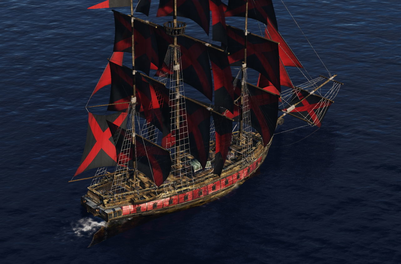
The release of the Marianas was a huge scenery booster to DCS. Especially for those with a love for low-level sightseeing ─ pardon: 'recon missions' ─ in slow prop planes and rotaries. Maug Islands has soon become my favourite spot, criss-crossing its caldera almost every morning... After a while I began to daydream and having visions. I saw shipwrecks on the caldera's bottom, with great whites patroling. And sometimes I even believed to see a glimpse of Amelia Earhart's Electra 10. With no knowledge or experience with neither ME nor Blender and its EDM Exporter it was a LONG journey until I had a good number of (unanimated) objects 'DCS-ready'. BTW, as the year in the title suggests, they're all peacetime objects! (The video, though, does include carriers and planes by Hawkeye60.) I don't know how long the next step, dealing with object animations, will (or would) take. But after months of work I felt for a break. And then <hint, hint> I think of the project as an 'open project' anyway. So everyone is invited to enhance and expand it! My personal whish-/todo-list includes animated sails and flags for the sailships animated Birdman (the original 3D model is actually fully rigged and playing in Blender) animated great white (same here) group of animated whales for 'whale watching' Thanks to tobi, grajo, copprhead. Without their help and work this project wouldn't exist. This free addon is not quite ready to be released, its scope will be much subject to availability/affordability of necessary licences. But here's a teaser video. Please comment and help to keep the project thriving. EDIT: 2022-02-03: I just put one of the sailships in the user files. 30+ variants of hoisted and furled sails, transparent or battle torn, bring some color to any of your sceneries and missions. Not alone the Marianas, but also to Normandy, The Channel, Syria... Version history of «BRIG»: v1.0 Initial release v1.1 Added moderate wake, front and aft. What seems appropriate for a sailship with no screws and an average speed of around 10 knots. v1.2 Improved NORMALS and SPECS for sail canvas. Streamlined usage of all NORMALS and SPECS, now only very upclose (LOD0, 300m, some LOD1). Some changes to the Static Templates. A second sample 'mission' file giving a quick overview of all 32 variants in box formation is now included (like screenshot above). Extract and overwrite all existing files.
-
 Today I was trying an Air-to-Ground mission with the SU-25T and I noticed something wrong with the compass readout of my Heading whenever I get out of any NAV mode. The problem is: When I'm in any of the Navigation Modes, the HUD reads my heading correctly, but the analog HSI compass seems to be flipped/misaligned, pointing me to a completely different heading. And when I switch to any other mode (A-G or A-A), both readings get wrong. For instance, I picked up a slot on Rota Island, where the Frogfoot spawns on ground, facing north. While still on ground, when I switch into A-G mode, the HUD changes my HDG tape reading something around 165~175-ish. The problem persists while I'm flying. The analog HSI ALWAYS reads incorrectly, regardless of what Mode I'm in. As far as I've tested, this bug doesn't happen in Single Player, only in Multiplayer and only in the Marianas map. I've attached a trk file for the mission, so you guys can check the issue. I even commented on the Text Chat about it. 4YA_Mar_PVE2_V2.17[03_JUN_BKN]-20230205-125801.trk
-
untilCome Join Our Sunday Night Campaign! Every Sunday night at 9PM EST we host our campaign missions. These missions have a light story behind them, data cards to go along with each mission, and proper briefings. We try our best to maintain professionalism, teach proper procedure, and most of all have fun and work as a team during these missions. They are also persistent, if a group of units dies one mission, they will not make it to the next mission. We also utilize several scripts made by the community to enhance realism, such as the IADS Script, various Moose Scripts, and so on.