To recreate:
1. Start a mission with waypoints already defined
2. Create two target points.
2. Load the Target points into the aircraft.
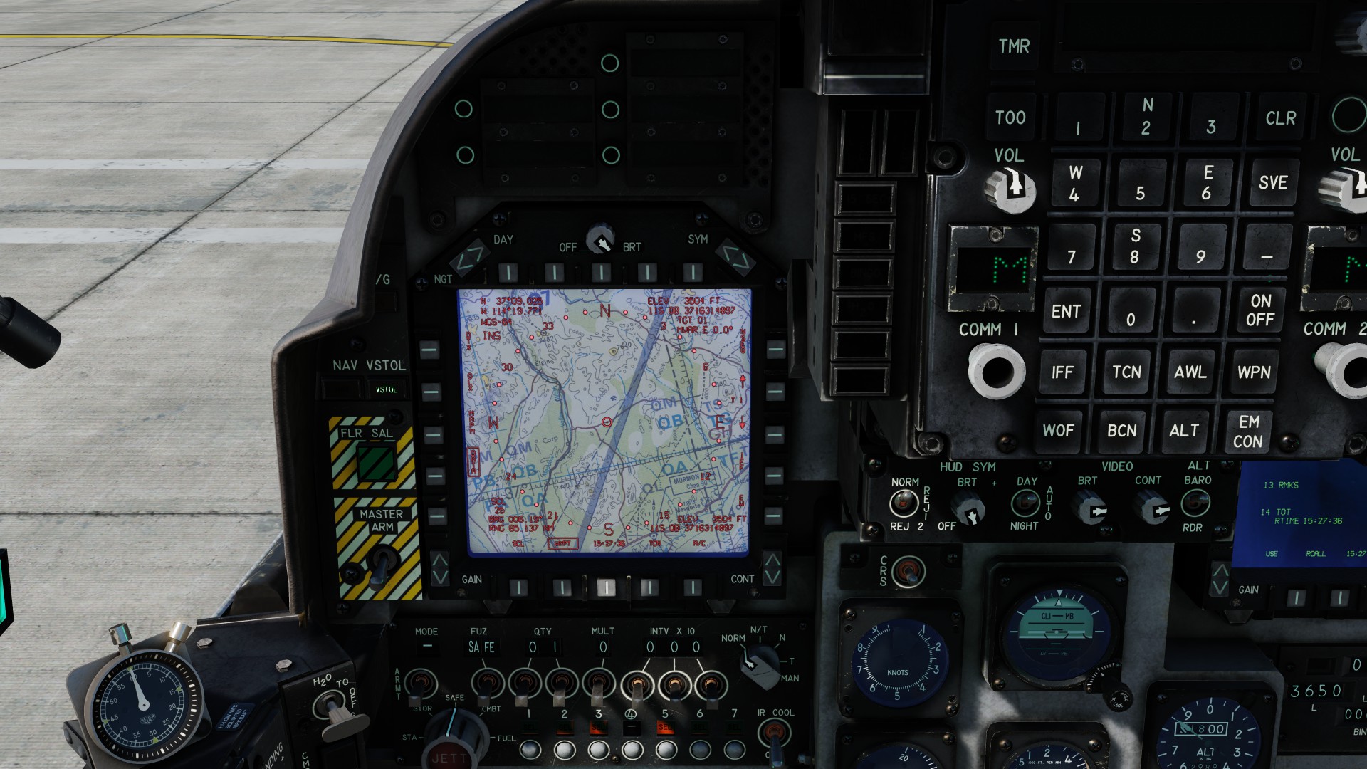
3. Select the EHSD screen
4. Click to Box the Data selection
5. With a waypoint shown the MVAR is correct.
6. Increment the waypoint to show a Target point
7. With the Target point shown the MVAR is shown as 0 degrees.
I have verified this on the NTTR map. Not tested on other maps.
Mission file and screen shot attached.
Love the Harrier
Best Regards
NTTR Range.miz