

Eule
-
Posts
48 -
Joined
-
Last visited
Content Type
Profiles
Forums
Events
Posts posted by Eule
-
-
Just a question: Why dont you just use (or buy a cheap one) your tablet or convertible and look into the Manual from there? I mean ... digital you have search Features, can take and erease notes, it weights less, you can have ANY Manual in small space, take it with you all the time (3 Manuals fully printed .... its a bit bigger and heavier)
:-?
-
There are printing modes where it just printes Images without printing dark Areas fully black. So .. its the way you want it.
It is not customer Service of a DCS Module seller to tell you how your Printer works. And if your printes or Driver does not have said Features ... bad luck. But I dont see "make 2 Versions of every Manual so I can print it without doing anything" as "customer Service".
Dont be unfriendly just because someone tries to (and does) help you!
-
Soweit ich mich erinnere war (ich besitze die gesamte Hardware) dies auch mit dem Steamlink möglich. Mit viel Hardware eben nur mit einem USB Hub - aber möglich. Es funktioniert ganz gut, jedoch gibt es entweder immer wieder minimale Einbrüche im Spielgeschehen ODER Einbrüche in der Auflösung / der Bitrate. Und daran wird auch Google so schnell nichts ändern.
Wer DCS wirklich genießen will macht das direkt am Rechner. Ich hätte jedenfalls keine Lust auf geringere Bitraten / Auflösungen (und wenn auch nur temporär) während dem fliegen und während ich versuche meine Analogen oder Digitalen Anzeigen im Spiel zu lesen.
-
Vielleicht keine Lösung deines Problemes, aber kannst du dich nicht per Smartphone Hotspot wenigstens kurz "einloggen"? Dabei entsteht kaum Traffic und die drei Tage (wenn diese denn so existieren) würden wieder von vorne beginnen.
-
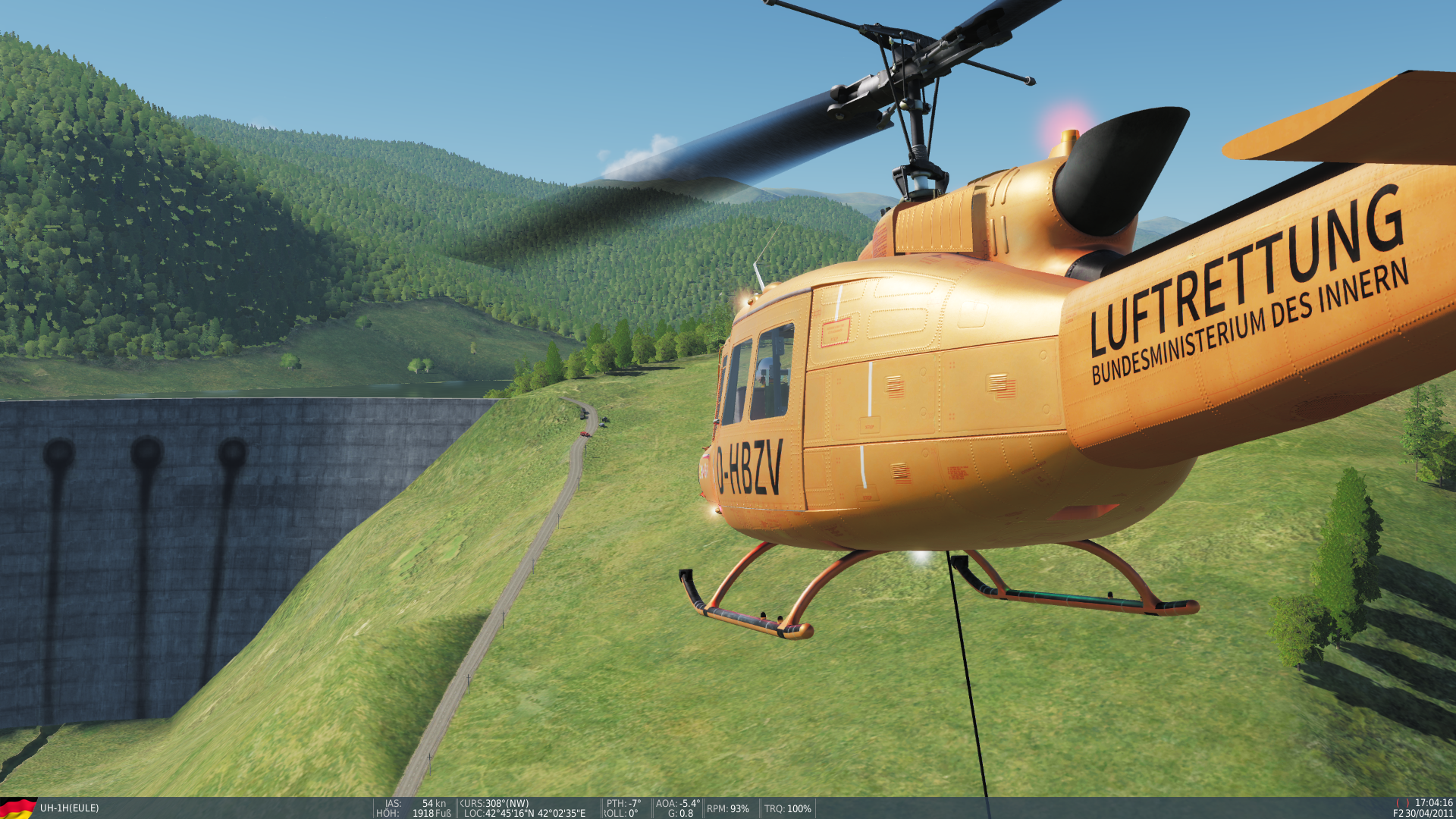
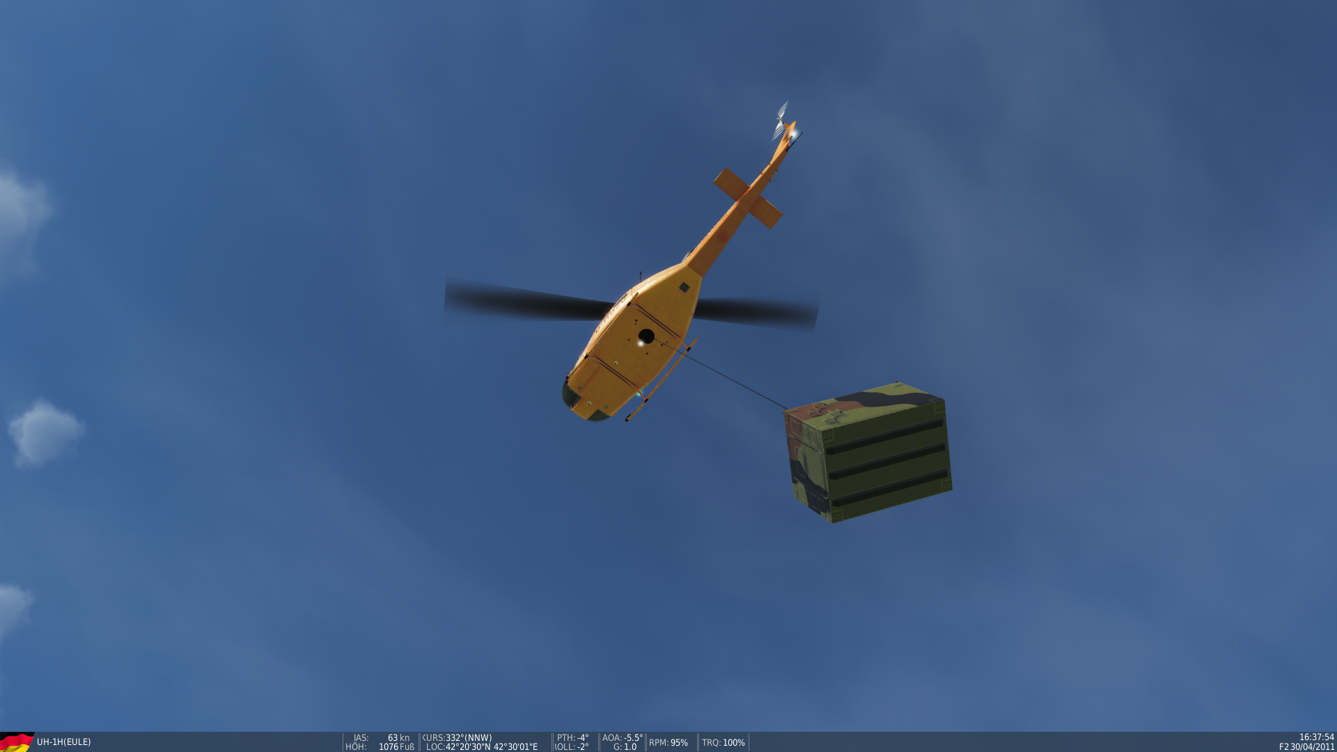
Some sling load training :)

-
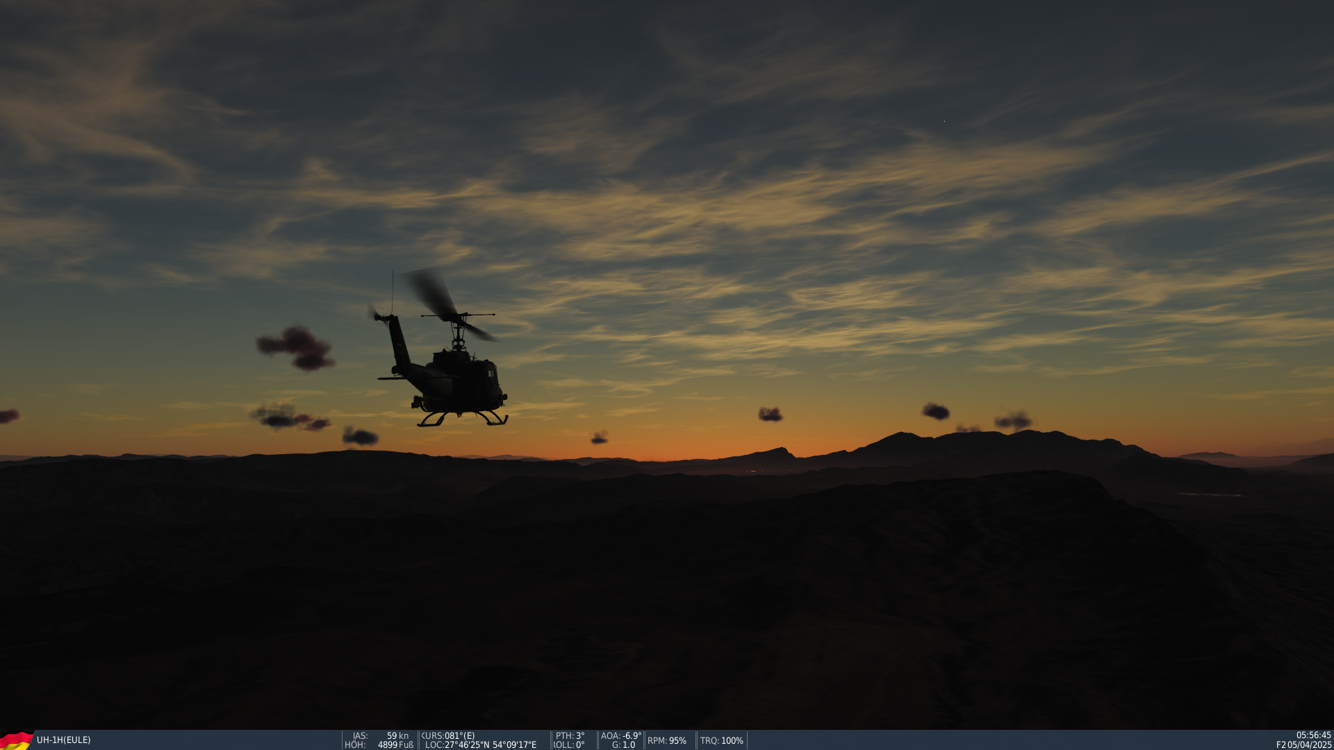
Just want to let you know that this is not abandoned. :music_whistling:
Right now I am in Norway as a part of the Bundeswehr (german military) while the NATO's exercise Trident Juncture 18 goes on. In the "freetime" I had I begun with the development of DCS-Map (lets call it DCS-FIP - Flight Information Panel for now :) ). Right now there is more to do while we approch to the date we will leave Norway AND in addition I can proudly say that I am in the last stage at becoming a military helicopter pilot. So there will be very much training and learning approching at me when I come home to germany.
For sure I will keep on working on DCS-FIP - but not with the speed I did to this point. I am sure that you will understand that.
I will just let this video here ... focus on your dreams my DCS friends!
-
 1
1
-
-
That would be great if he could also make it appear in VR. I have no idea how to do that. A standalone app would not appear in VR.
You have to work with the DirectX or OpenGL of the game (depends on what it uses, did not look into it). It is possible :). But that does not mean that it will be easy and developed right away :D. First the basic stuff - second special features like VR stuff.
-
Oh boy I started down this road with a stand alone window application. The more you work on it the bigger it gets. There is so so much that can go into this. Good luck.
Lets see how far I can go :)
I agree with Snacko, checklists would be great first off the bat, then maps. As for a name, just a thought, we used to use aid memoirs for certain things and placed them in a waterproof folder about the size of a hand held note book with transparent sleeves so you could also write on them, we called this a "Vuey Tuey" spoken like "Viewy twoee", just an idea !The name I just had in mind was DCS FIP (DCS Flight Information Panel).
Easy to remember and just says what it is :D
FOr us VR users... if you manage a way to take notes... that would be a huge success.In any case, very interesting. Many of uss are using kneeboardbuilder, but...
Also, people is using combatflite... have a look and see if you can integrate, or something.
I will try to do my best for you VR Users! But .. I cant promise anything :)
Kneeboardbuilder let you build your own kneeboard (I dont use it), right? Well ... DCS FIP (the new name of DCS-Map ;) ... because it is more than just a map) is very static at the moment - you cant change things other than in the integrates notes application. But maybe I get DCS-FIP to a point where it can be used as a overlay on DCS like Discord or Steam and aso the content can be adjusted by the user. We will see. Combatflite on the other hand ... I have big respect to the programmer on that. Looks great! I dont know if I can get my map that far ;)
-
Great to hear!
I wonder what you people wait the most for. Checklists? Maps? Notes? If I know, I concentrate on that features first and release it early.
-
This is a great idea Eule, looking forward to it.
Nice to hear that! :)
Have you considered making it an app so you could open/close/resize it with hotkeys? And make it stay on top of the game window when it's visible? You could still embed an browser container in an app if you want.I thought about it this morning. And yes - you are right. I never considered that it would be great to have this as an always on top Application you could hide and show how you need it - just the same as with the NS430 overlay. When developing DCS-Map.
I hate browser Container and that stuff - better is to get it into a native Application. There are ways to develop native applications just with web-language. So I will look into it and maybe even take a new direction with DCS-Map. And since this gets a whole new direction it maybe is already time for a more creative name :joystick:
Thank you for your thoughts!
-
This is how the Checklists will look like. Here is an example of the A-10C Warthog.
-
 1
1
-
-
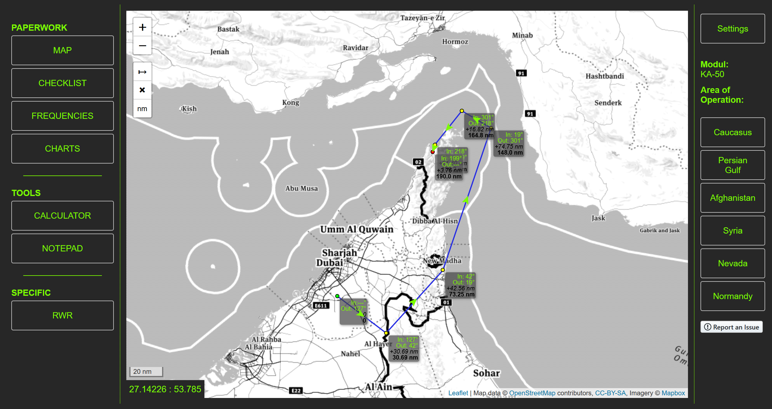
Some background work is done :)
Latest WIP picture is in the attachments.
I am not happy with the Area of operation buttons on the right side - but they do their job for now. If you click them, they pan the map around. The user always uses the whole world-map. But there will be lines drawn into it with the ingame borders.
What is next?
- A way that the user can write his notes into the "NOTES" tab
- Fix that, if you change from map to notes or the checklist, the map will still be the same. Right now it deletes everything you have drawn and the position is reset. Will be fixed soon, I have an idea for it (easy solution)
- Add all DCS Airports into the map with a popup with all the needed informations (TACAN, ILS, ATC Frequencies, etc)
Thank you again for your kind words :)
Let me know what you want to see in DCS-Map!
- A way that the user can write his notes into the "NOTES" tab
-
Thank you for your kind words :)
I will post updates from time to time of something new (big) is achieved.
Right now I am working on getting all DCS Modules in it (just the background construction - nothing hard but annoying).
-
Hello!
I am working on a virtual kneeboard right now. It features an interactive map, checklists for all DCS Modules, Frequencies for all airports, a way to write down own notes, some calculation tools for fuel flow, range, etc and many more features are planned.
This virtual kneeboard is meant to be used in a browser on your PC, Laptop or tablet. I started the project for myself because I was searching for something like this, but couldnt find it. On the other hand - I wanted to learn some new thing about web development.
Some days ago I decided to make this small project public to you - the community. To that not only I have fun with it, but maybe you too :).
Let me know if you have any wishes for the design, features or just some criticism.
Checklists
(NOT STARTED / WORK IN PROGRESS / DONE)
Helicopter:
KA-50
Mi-8MTv2
UH-1H
Sa342
A-10C
AJS-37
AV/8B
C-101
F/A-18C
F-14
F-5E
F-86F
Hawk T.1A
L-39
M-2000C
MiG-15bis
MiG-21bis
MiG-29
Yak-52
Flaming Cliffs
Su-33
Su-27
F-15C
Su-25
A-10A
WWII
P-51D
FW-190D-9
BF-109K-4
Spitfire Mk. IXc LF
OLD POST:
Hello Community!
I am working on a small project for the last days. Its mostly for myself for learning and yeah ... of course for my own DCS play sessions. And I thought, maybe you - the community - would be interested in it.
So what is DCS-Map?
DCS-Map is not "just a map" but more likely a full virtual kneeboard with many informations diretly at your fingertipp (tablet, second monitor, etc). It startet as the idea of a simple map with some frequencies labeled on it. Know the idea is a kneeboard with all the informations you need from start-up to landing. I just dont wanted to use the ingame kneeboard, so I thought I could use a real life kneeboard. The second idea was a digital kneeboard in my browser.
Is it even a good idea to make it public?
I thought some days about it: Should I even speak about my small project? Will it get mostly negative feedback or will it be ignored? Today I think, even if the project gets ignored by the most players, it will maybe find some use by a small group of players. And if so - the work will not be only for myself but for a part of the community.
What is planned?
If you ask me about my plans with DCS-Map, then the list is endless. I have many ideas by myself but maybe you have some too. Let me know!
- Player can take notes on the virtual kneeboard and access them
- You can access map informations for every airport directly on the map or as a list
- Checklists for all DCS World modules (from startup to landing)
- The user can draw on the interactive map (you know ... like a real map on a kneeboard ;) )
- own tileserver with the DCS Maps, not this OpenStreetMaps like now (just a placeholder)
- user can change his own virtual kneeboard (colors, maybe layout, etc)
Ultimate Endboss Features:
- User Accounts
- User can join a squadron
- Squadron can draw, save and load maps (interactive, together)
DCS-Map is not a standalone application. It needs to be run by a local Server or can be visited on the dcs-map website (coming when scripts are ready for it).
So how does it look right now?
Yeah - I know it looks a bit ugly. But I went though some designs and this is the most effective way. Left side is the kneeboard menu, the middle the content area and the right the info panel with some infos.
Now ... let me know what you think. What do you think should be part of this virtual kneeboard? Do you even see a usecase for yourself? I am happy about every way of feedback :-)
WARNING: VERY work in progress :). Design just functional, not feature complete (just some days of work as a "beginner")
Greetings :thumbup:
Eule
- Player can take notes on the virtual kneeboard and access them
-
I hope thats a joke. WD-40 is not meant for that … lol
-
I aso adjusted mine to almost zero tension. Works well.
-
I use the T16000M HOTAS Setup and I love it for that price. Many buttons!
For all you T16000M users out there: If your throttle is "sticking" or hard to use, put it into the most Forward Position. Look at the backside and you will notice a screw in a Deep hole. Make it lose and it will be WAAAAAY better!
-
´
(...)
You think if given the information for the tasks you might be able to create the missions
Sounds great! But right now I am concentrating at a campaign für the UH1H.
There is no Training included - but maybe I will get some small Training missions into it as optional.
-
Caucasus
Neither in my campaign To-Do list neither on my priority list. But maybe I will look into it and upload it in the User Files. Could use my Persian Gulf kneeboard template for it - should not take that long.
-
[...] and the list of ADF and VOR frequencies in order to have them always easily available to navigate. This does not require complex codex programming, but just writing.
Working on a Kneeboard for my UH-1H campaign. It aso contains Navigation aids for the persian golf.
For which map do you need the ADF und VOR list?
-
Hello pilots! I'm working on something the last days and I need your opinions to make sure that I am not sinking many hours of "work", just to realise that no one but me likes what I did.
- Travel time. How long is okay to travel from A to B? In minutes. Lets say .. UN Campaign. First Mission. Too long? Or okay?
- Mission type. What type of Mission do you prefer? S&D, SAR, Transport, sling load?
- Difficulty. Do you like a more or less brainless flow? Or do you want a (NOT unfair) challenge?
- Map. Do you own the persian gulf? If so - do you like it for helicopters?
Many thanks :)
Wehwehchen
- Travel time. How long is okay to travel from A to B? In minutes. Lets say .. UN Campaign. First Mission. Too long? Or okay?
-
Are rain drops on glasses already implemented or not?
I play VR and if I set rain drops on and it rains, I seem to see something on the glasses, but a very light and faded effect, something very different from f/a-18 videos out there. Is this effect less evident in VR? Or is it still to be better implemented in the huey? (I do not own f/a-18 to test by myself).
Yes, they are implemented. But on the left glass the rain goes from the bottom to the top. Small bug ;)
You have to activate the raindrops in the Video Settings (DCS World Open Beta)
-
I don't think is implemented. Not sure if this version had that in RL to be honest. The pod still can guide weapons, just can't track moving targets.
It is implemented, I am sure. I saw a YouTube Tutorial Video about it :). But I cant find what I am doing wrong.
-
Hi!
I just started to learn the harrier and I like the features of the TPOD. But for me the PT mode (Point Target?) does not work - I cant seem to activate it. Is there a special thing I have to activate before?
:) Thanks!


Hornet oder Tomcat für Einsteiger?
in Deutsch
Posted
Also Track-IR ist alles aber keine "Pflicht". Ich nutze es selber seit Jahren und will es nicht mehr missen, aber auch ohne ging es Jahre lang davor.