
Chalksta
-
Posts
88 -
Joined
-
Last visited
Content Type
Profiles
Forums
Events
Everything posted by Chalksta
-

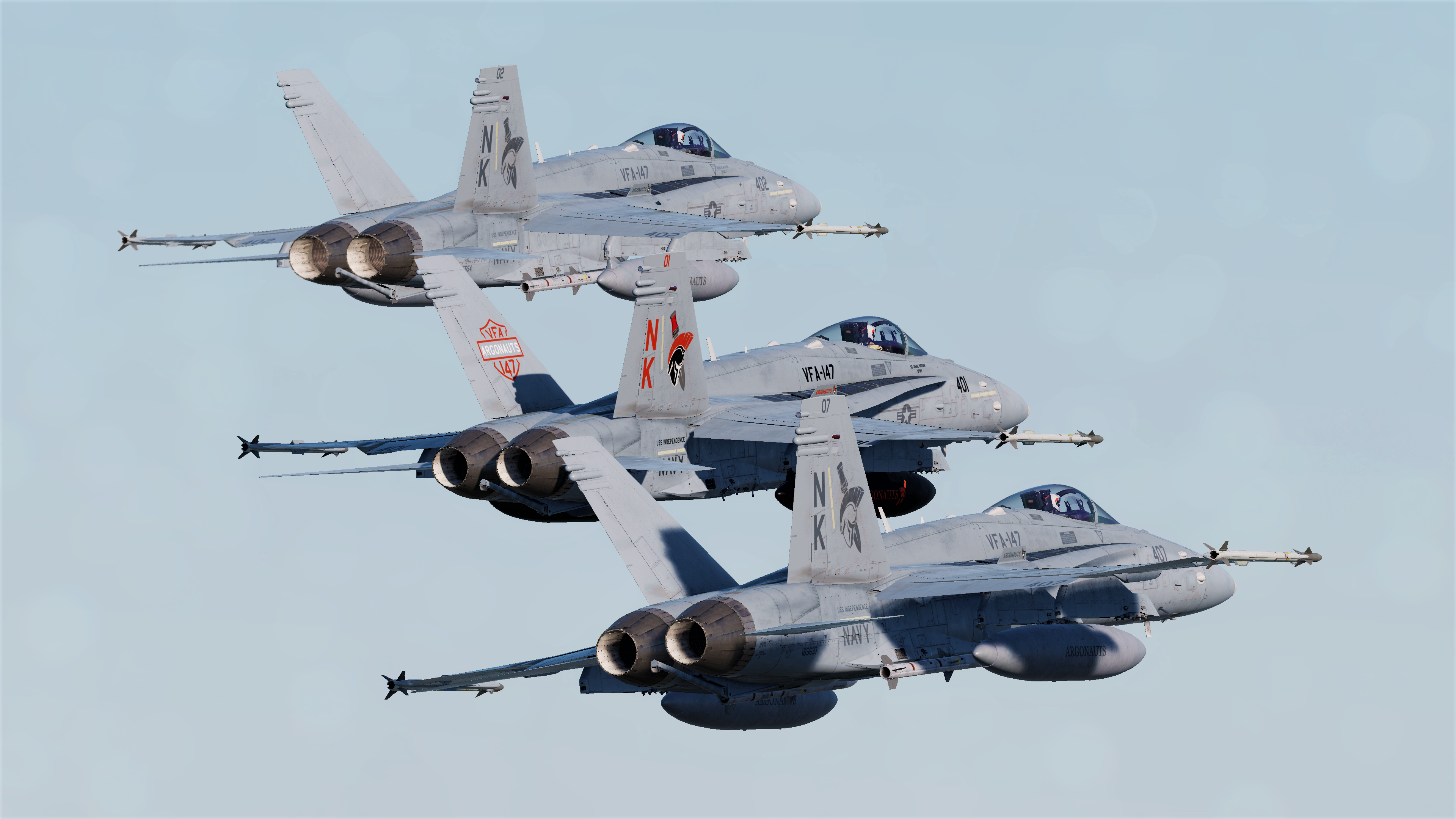
DCS: F/A-18C Screenshots and Videos (NO DISCUSSION)
Chalksta replied to Vitormouraa's topic in DCS: F/A-18C
https://www.youtube.com/watch?v=5mgFYYJjAKM&feature=youtu.be -
DCS: F/A-18C Screenshots and Videos (NO DISCUSSION)
Chalksta replied to Vitormouraa's topic in DCS: F/A-18C
-
DCS: F/A-18C Screenshots and Videos (NO DISCUSSION)
Chalksta replied to Vitormouraa's topic in DCS: F/A-18C
-
thankyou very much that will indeed help me out and was what i was looking for...thanks again
-
cheers and thank you
-
is there any info out there that highlights the numbers of each cockpit device in the Hornet? needing this info to use in the mission editor
-
Awesome Mod tyvm for sharing:)
-
DCS: F/A-18C Screenshots and Videos (NO DISCUSSION)
Chalksta replied to Vitormouraa's topic in DCS: F/A-18C
-
-
DCS: F/A-18C Screenshots and Videos (NO DISCUSSION)
Chalksta replied to Vitormouraa's topic in DCS: F/A-18C
-
DCS: F/A-18C Screenshots and Videos (NO DISCUSSION)
Chalksta replied to Vitormouraa's topic in DCS: F/A-18C
-
DCS: F/A-18C Screenshots and Videos (NO DISCUSSION)
Chalksta replied to Vitormouraa's topic in DCS: F/A-18C
-
DCS: F/A-18C Screenshots and Videos (NO DISCUSSION)
Chalksta replied to Vitormouraa's topic in DCS: F/A-18C
-
-
DCS: F/A-18C Screenshots and Videos (NO DISCUSSION)
Chalksta replied to Vitormouraa's topic in DCS: F/A-18C
-
good stuff
-
good stuff:)
-
try converting the MGRS coordinate of the target from the mission editor into this free converter web page: http://www.legallandconverter.com/p50.html and see if u get the same DD MM SS.SS values
-
:)
-
JDAM MGRS to Lat/Long ok 2 ways of dropping JDAM in the hornet ...1. placing waypoints for the hornet via the mission editor over targets or 2. manually inputting in coordinates ........through trial and error i've discovered a way to get pin point accuracy for Hornet JDAM for the time being .....as the hornet JDAM is still in development i hope the following helps you guys for better accuracy doing some conversions with coordinates.Firstly use the MGRS format in the mission editor to get a more detailed grid location of a target ...then we need to convert that MGRS format to a Degree, Minute, Second, 2 Digit Second Decimal format to give us coordinates such as this eg 41° 50' 40.47" N 41° 48' 53.24" E and input this converted info into the hornet. go into the mission editor and write down the MGRS reference for the target....eg 37 T GG 33691 36351 now using a free convertor i will provide a link for we need to convert the MGRS grid format to a Degree, Minute, Second, 2 Digit Second Decimal grid format link for the free convertor webpage http://www.legallandconverter.com/p50.html type in the MGRS into the MGRS/USNG to latitude and Longitude calculator and press "Calc" the new Latitude & Longitude for the target will be 41° 50' 40.47" N 41° 48' 53.24" E now we need to input this new data into the Hornet...as follows type in the N 41° 50' 40 then press enter once then type in the last two numbers press enter and you should see the Lat 41° 50' 40.47" N displayed in the DDI repeat that cycle to enter all the converted grid ref hope this helps
-
DCS: F/A-18C Screenshots and Videos (NO DISCUSSION)
Chalksta replied to Vitormouraa's topic in DCS: F/A-18C
-
DCS: F/A-18C Screenshots and Videos (NO DISCUSSION)
Chalksta replied to Vitormouraa's topic in DCS: F/A-18C
-
DCS: F/A-18C Screenshots and Videos (NO DISCUSSION)
Chalksta replied to Vitormouraa's topic in DCS: F/A-18C

