raus
-
Posts
218 -
Joined
-
Last visited
Content Type
Profiles
Forums
Events
Everything posted by raus
-
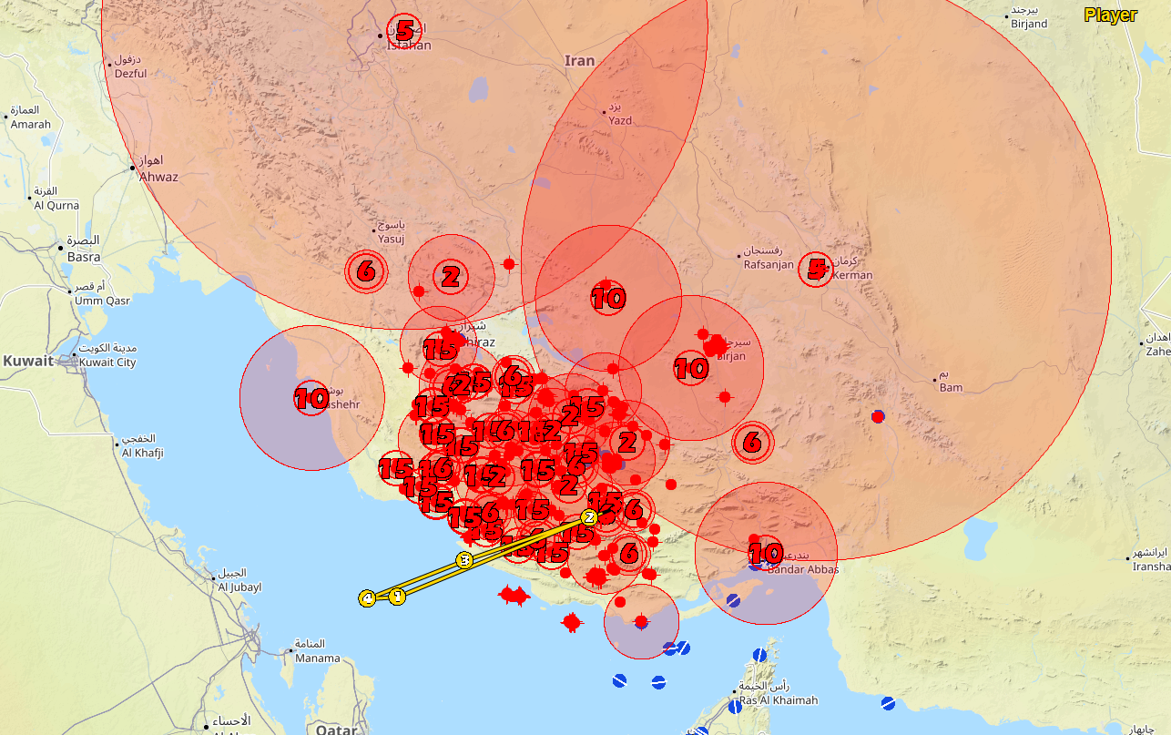
Due to the sheer amount of units (>3k) in that mission, there were some overflows. I have dimensioned it properly, and should work with the next update. null

-
I will check it. That one is related to some flights having the same identification name... the program is tailored to work best with Liberation/Retribution missions... but I can make some adjustments, so you do not get that exception... probably will have it in 1-2 days
-
Thanks for the files, I could find some incorrect offsets of the Persian Gulf Theater and correct them... there's an updated version available
- 17 replies
-
- 1
-

-
- datacards
- mission planning
- (and 1 more)
-
That is weird, but I added Persian Gulf the last and packed it with another fix. Surely I missed something, so let me run those files and come back to you (tomorrow will be impossible for me, but in a couple days I will have that one addressed)
- 17 replies
-
- 1
-
-
- datacards
- mission planning
- (and 1 more)
-
Ok, the problem is identified and (hopefully) fixed. I am just waiting for the hosting provider to solve a ftp issue, to upload it, so the autoupdate will trigger.
- 17 replies
-
- 2
-

-
- datacards
- mission planning
- (and 1 more)
-
well, primary focus was on Liberation/Retribution missions for now, so that works best. That being said, hand me over those troublesome miz files via discord. I will run them in the debug version, and find out what’s triggering the exception
- 17 replies
-
- 1
-
-
- datacards
- mission planning
- (and 1 more)
-
Okay, maybe I have not reached the status I desired for the release, but nevertheless here it goes: Hope you enjoy it
-
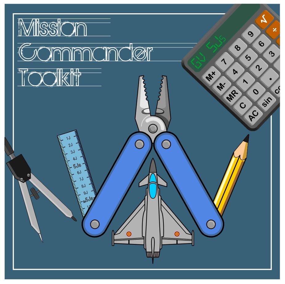
Hi, After a lot of development and improvements, the GV5Js Datacard Generator has finally come to an end. I decided to start from scratch again, and implement a much more robust method of parsing the .miz files, so the problems with some flights not being detected should be a thing of the past. I have taken the opportunity to turn the direction of the development, and the new tool is more oriented to the management of packages, so it puts you under the skin of the Mission Commander. Consider this first release as a beta version, as I still have a backlog to complete, until all tools have been integrated, however, you could now expect: More professional datacards, based in RL counterparts (with some adaptions to DCS, of course) A more modern interface Way faster response when showing/hiding map overlays Improved tools to manage the map (flight colors, drawing tools...) Capability of modifying some flight aspects from the program (move waypoints, change flight names) Package coordination tools (AAR times, Push time/altitude, Hold...) Ability to save your modifications and continue later (WiP: retrieving all map overlays for the time of the briefing) Setting and assignment of CAP/Hold patterns to flights from the map view Still some things are upcoming in next releases: Saving overlays, as mentioned Complete list of supported theaters Complete list of supported planes/helicopters Improve lowdown extraction for "regular" (non Liberation/Retribution) missions Producing more material for the briefing (roll call, general overview, icons on the map) A complete manual, explaining usage. For instance, I can name a couple things here: If you want the AAR to be coordinated and appear in the mission datacard, make sure a waypoint is named either "Refueling" or "AAR" If you want Push times, make a "PUSH" waypoint in your miz General improvements and bug fixing Improved icons Download link: Mission Commander Toolkit
- 17 replies
-
- 7
-
-
-
- datacards
- mission planning
- (and 1 more)
-
So, the time has come... I can officially announce that the GV5Js Datacard Generator is discontinued as of today, and no more updates are to be expected. But fear not, this is good news. It basically means that we are close to the first release of its succesor tool. I am currently ironing out the last wrinkles, and adding back some data from the different theaters supported. I hope (no hard promise, though) to release a first draft version by next week. Some of the old functionalities will still be progressively ported, but it should nevertheless be functional, with the added benefit that the new methods used for parsing all the .miz information are deterministic, and no flights/assets will be missed as it could sometimes happen with the old tool. Stay tuned! PS: as a hint to find the announcement when it is time, the new tool is named "Mission Commander Toolkit", which also highlights the development direction more towards a tool to organize packages and provide briefing information
-
Hey, it is now in the middle of the rework. Datacards will look different, actually combining comm card. We are now testing the concept and seeing how it all comes along… the core is working (rebuilt from scratch) but all the look & feel bits are taking time to be completed
-
 Woud a 1h30min track be helpful? Cause that is roughly the point in time when I had it happening. It was multiplayer flight, so I could look for it...
 -
Maybe I experienced the same.. yesterday night, after a 1:30h MP flight, when entering initial in parade formation at 800ft, my hornet suddenly rolled left, some 160° or so, and went into the soup , total loss of control, no way to recover.
-
My bad, it is correctly working. My issue was due to a mod interferring...
-
It does not display either when having a TUC
-
@NineLine @BIGNEWY So is this an intended change? Or is it something that should be reported (in case it hasn't been already) as a bug? disregard... it has already been filed under bugs section
-
Hi! I've noticed in the last couple times I've flown the Hornet, that moving the cursors of the SA page over a datalink contact no longer display the contact's speed and altitude. Is this happening to other's? Or is it something on my side that might need to run a repair?In case others are experiencing, I might have missed it, but I cannot find any message discussing it... is it a change on purpose, or likely a bug?
-
Ok, then just standby… I am currently at the middle of rewriting the whole logic of the program. The proof of concept works, and I now need to apply the new method everywhere. Good news is that it will get all info from the miz more reliably, enable additional info to be retrieved and -hopefully- parse the whole thing much faster. But it will still take me some time to rewrite
-
I am currently reworking it. A version 2.0 will come with improvements. In the meantime, can you link me to that .miz? It sometimes has hiccups due to changes in the miz syntax (which will be avoided with the rewrite I am doing). And, just in case... are you sure your flights are all "client"?
-
I am working on a reduced pace during the summer, but I’ll put it on the list and check it. Should not be a problem as long as they are on the same coallition (blue/red)
-
It can definitely be done, no problem. I will not promise any date, though because the way the code is written will make it necessary to go through a lot of functions to check, an make sure nothing else gets broken. But I will look into it
-
@negrete, @fagulha I think I found the issue, and will be corrected in the upcoming update. Meanwhile, try to make a temporary save (the icon with the diskette and a clock inside) before saving the .5js. Let me know how does that work out
-
@negrete this one should be easy to pinpoint. Can you give me a little more info? It would be helpful if you can show the details on the exception window, and also share which map was that .miz located in. I will have a look and upload an update to the program, in case it is needed
-
I've just had a quick look at this. If I got it right the F-15E format is DD.MM.MMM (Degrees-Minutes-Decimal minutes). You already have that, only I am providing 4 decimal digits for the minutes. If you truncate/round the last digit, you should be fine But as I said, I just had a very quick look...let me know if I am missing the point.
-
quick answer, away from home... - I would use low drag. Hi drag is for retarde bombs (with a parachute or similar) - I did not realize... will add the option with next version, should be easy - A radio button is just this small circular selector under the two text fields. Just google radio button and you'll see how it looks like
-
I am working in a small mod (F/A-18C), for ease of life. I wanted to recover the current scale of the Radar Attack format, and the azimuth of scan. First thought was to dig into the DDIs themselves, but from what I see in the lua files, this info is painted (file RDR_AA_AG_BASE.lua) onto the DDI using addStrokeText, which refers to a .svg file with the font used. Furthermore, the info is passed not as a value, but managed by a controller that seems to be on the non-user accessible area... Maybe we could write our own function using the same controller, to receive the data, but then I am not sure how could I translate that into a numeric value. Has anyone an idea if this could be achieved? And if so, a hint or headstart would be really appreciated, as I seem to have stumbled against a wall here Thanks!!