Bullfish
-
Posts
8 -
Joined
-
Last visited
-
 nullPlanes and helicopters are not available currently, I did not check ground vehicles.
-
a non flat map should be the industry standard now in flight simulations
-
Make the ability that an AI bird control car drives over the runway using sounds to scare birds and maybe model the birds on the runway and make them fly away.
-
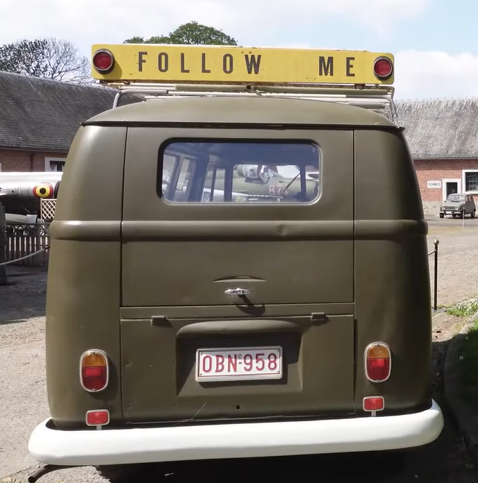
This is from the museum at Beauvechain AB, very nice Follow Me car!
-
I noticed there is a missing texture on the throttle from external view, barely noticable
-
I would like to see an AI A-400M with skins for the main users like Belgium, France, Spain,...
-
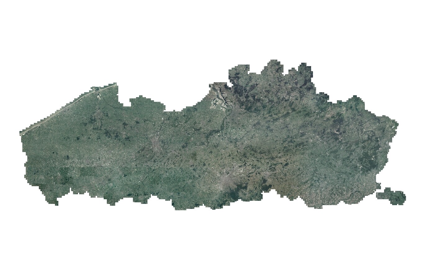
I'm also strongly in favour of adding the whole lowlands to this map from EBFN Koksijde AB to EHLW Leeuwarden AB ! For Flanders there are historical air photos available for the public that are very usefull for further developing and creating this area, full detail photos are available for 1971 (Black & White): https://www.geopunt.be/?service=https%3A%2F%2Fgeo.api.vlaanderen.be%2FOKZ%2Fwmts%3Flayers%3Dokzpan71vl and for 1979-1990 (color): https://www.geopunt.be/?service=https%3A%2F%2Fgeo.api.vlaanderen.be%2FOKZ%2Fwmts%3Flayers%3Dokzrgb79_90vl I do not know any equivalent for Wallonia and The Netherlands, maybe someone can look into this? These links can also be usefull for the currently planned phase 3 EBBL Kleine-Brogel AB, I recently been inside Kleine-Brogel.
-
Public inquiry. What is your PC video card?
Bullfish replied to Chizh's topic in DCS World 1.x (read only)
GTX 760