fangav
-
Posts
286 -
Joined
-
Last visited
Content Type
Profiles
Forums
Events
Everything posted by fangav
-
Here here.
-

*MULTIPLAYER* Logbook...The wait is FINALLY over! (release)
fangav replied to Ebs's topic in DCS Modding
Just tried it and works great thanks Ebs. -
WIP DCS A-10C and Teamspeak 3 Integration
fangav replied to Headspace's topic in Utility/Program Mods for DCS World
Try unchecking and rechecking tars in TS3 / Setting / plugins, fix's that for me. -
no longer works The Ultimate DCS World JSGME Guide - If you use mods, you need this.
fangav replied to Ebs's topic in DCS Modding
Any chance getting this excellent mod loader stickied pls. -
World BS english RICARDO HD Blue pit
fangav replied to RICARDO's topic in Utility/Program Mods for DCS World
So true Mustang, This pit is quickly becoming the pit of choice at the AEF. Recommend to all. -
Lost a bit of a blade most likely, possible blade strike or incoming weapons damage. Was it like the chopper was trying to shake itself to bits. or rattle your eyeballs out. :)
-
Kneebord Export for all DCS modules - I need your suggestions
fangav replied to PeterP's topic in DCS Modding
With the restriction to customizing mentioned in the above post will it be possible to have approach plates like are being mentioned in this thread, or have I got the wrong end of what your doing. http://forums.eagle.ru/showthread.php?t=100800 -
Who da man...YOUUUUU da man. Cheers PeterP, I have a virtual bottle with your name on it.
-
PeterP, if you could get this working for the KA50/ a10c it would be great, we could have start up, emergence , and approach plates etc available without braking immersion. +1
-
/\ /\ True true, now I know both methods its time to see which one fits best.
-
Just trying to find the quickest easiest method, with as little time spent with my head in the cockpit.
-
FlankerOne. Yes that is what i had missed. thanks to you all.
-
Close but no cigar, looks like that give's you your own lat/long position.
-
That could be just the ticket JG14 Smil. I'll give it a try. Rep inbound. Thanks.
-
At AEF we are starting to use " and enjoy" the Jtac mod for the KA50. Putting the lat/ long into the PVI and saving into the Abris is no problem, what I what to know is, is it possible to do the reverse? eg, Once Ive lazed and locked up a target in the Abris, can I get the lat/long to display in the PVI. I'm looking for a fast way to give targets locations to the A10's. Moving the red cross or the red box around in the map page seems to slow. Any help or idea's would be much appreciated.
-
World BS english RICARDO HD Blue pit
fangav replied to RICARDO's topic in Utility/Program Mods for DCS World
Very nice work on the pit. It's replacing my old blue pit. Thanks for all the hard work and sharing of you work Ricardo and Ebs. Gav -
World BS english RICARDO HD Blue pit
fangav replied to RICARDO's topic in Utility/Program Mods for DCS World
Very cool news Ricardo. Thankyou -
I also run just the hatclip BUT I have no light source's behind me and that is when the pro clip comes into play AFAIK.
-
World BS english RICARDO HD Blue pit
fangav replied to RICARDO's topic in Utility/Program Mods for DCS World
Bump, any new news on this mod? Cheers. -
Sounds like you had a ball. Welcome to BS online.
-
no longer works The Ultimate DCS World JSGME Guide - If you use mods, you need this.
fangav replied to Ebs's topic in DCS Modding
Not being able to use modman and the default DCS load path was a deal breaker for me. Now I use JSGME and all is good. Big CHEERS to you Ebs. -
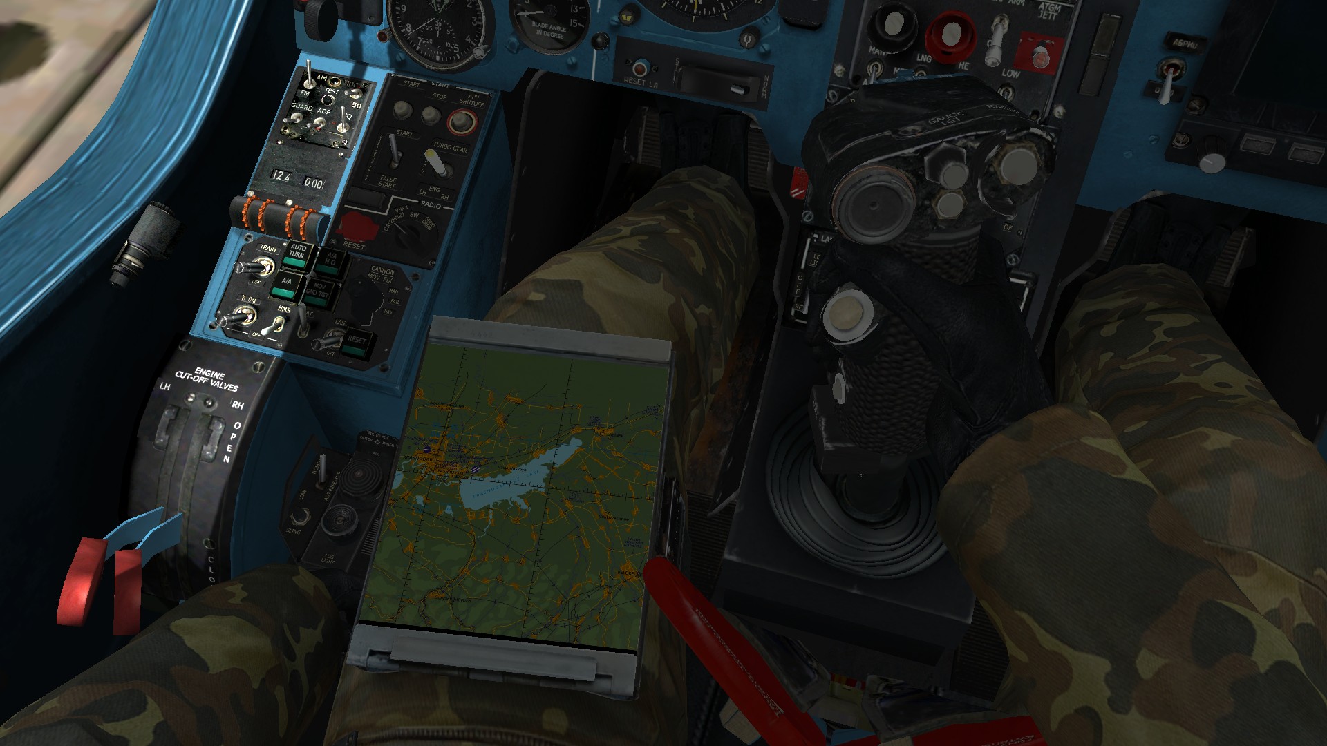
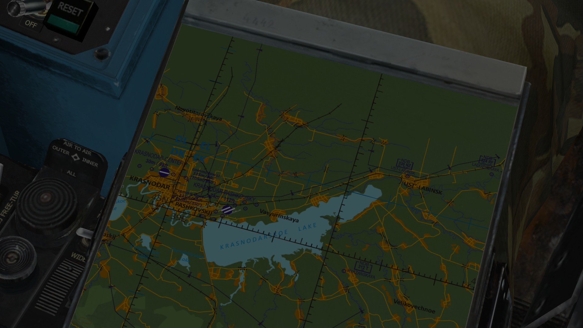
[DCS:World Ka-50] Pilot Notepad Mod
fangav replied to Devrim's topic in Utility/Program Mods for DCS World
I wish, hope there's a way to scroll through different .bmp files when in the pit so you can get the pic needed.
-
[DCS:World Ka-50] Pilot Notepad Mod
fangav replied to Devrim's topic in Utility/Program Mods for DCS World
Devrim, is it possible to switch between the two .bmp files when in the pit? -
The problem might have been the 12 days it took to acknowledge the problem, hence all the threads.
-
All good here as well. Thanks to all involved.