MAESTR0
-
Posts
154 -
Joined
-
Last visited
-
Days Won
22
Content Type
Profiles
Forums
Events
Everything posted by MAESTR0
-
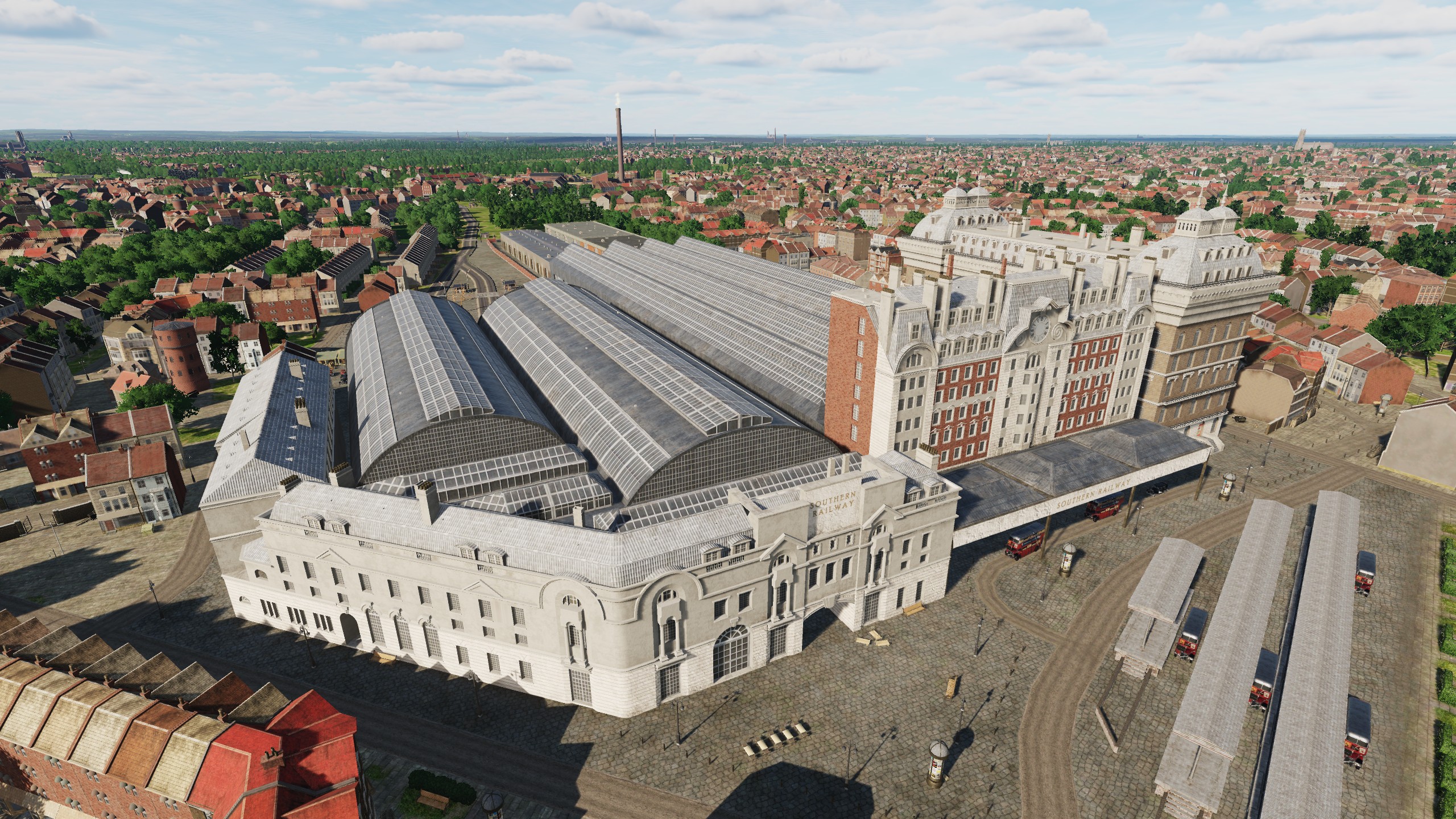
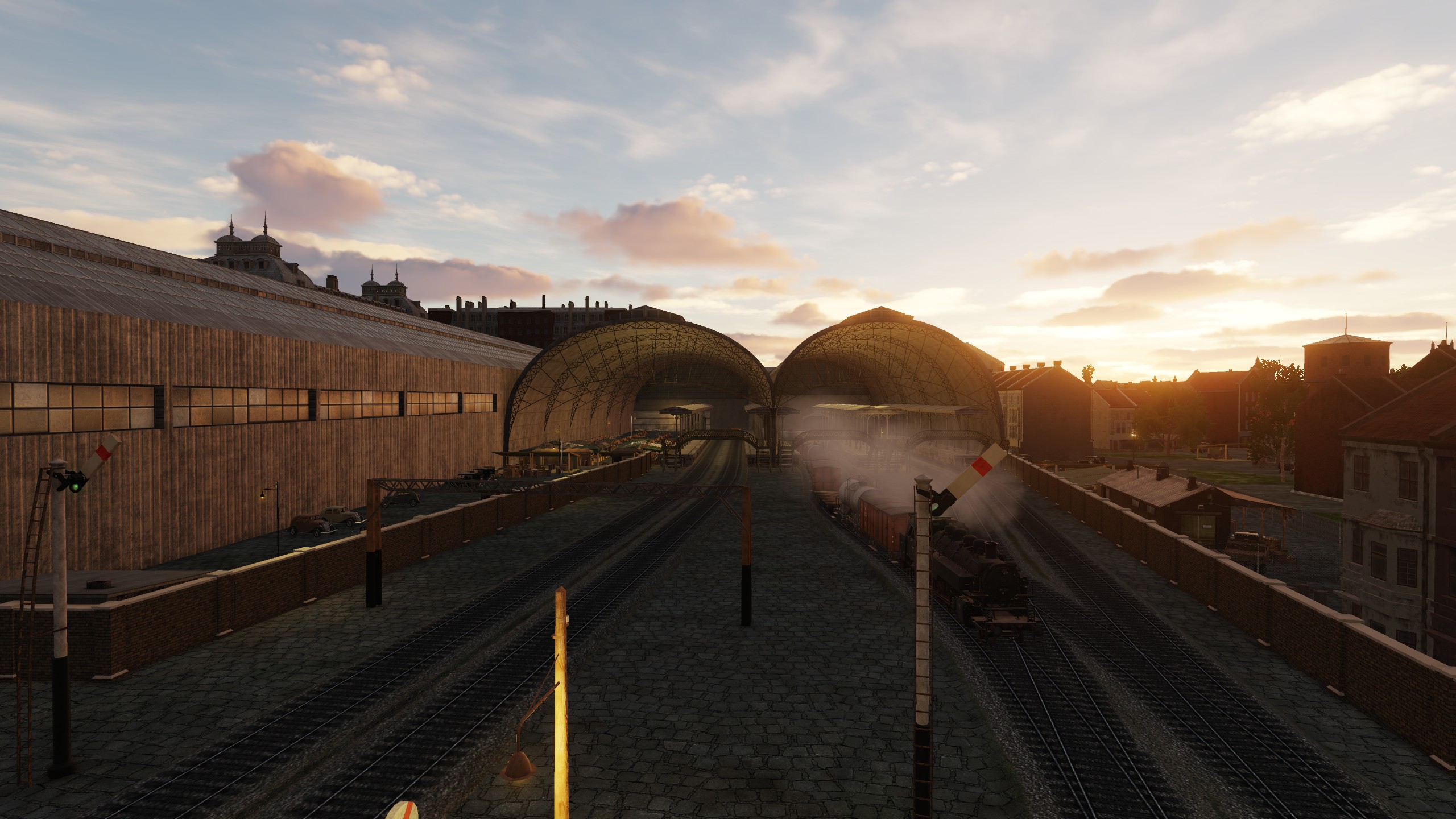
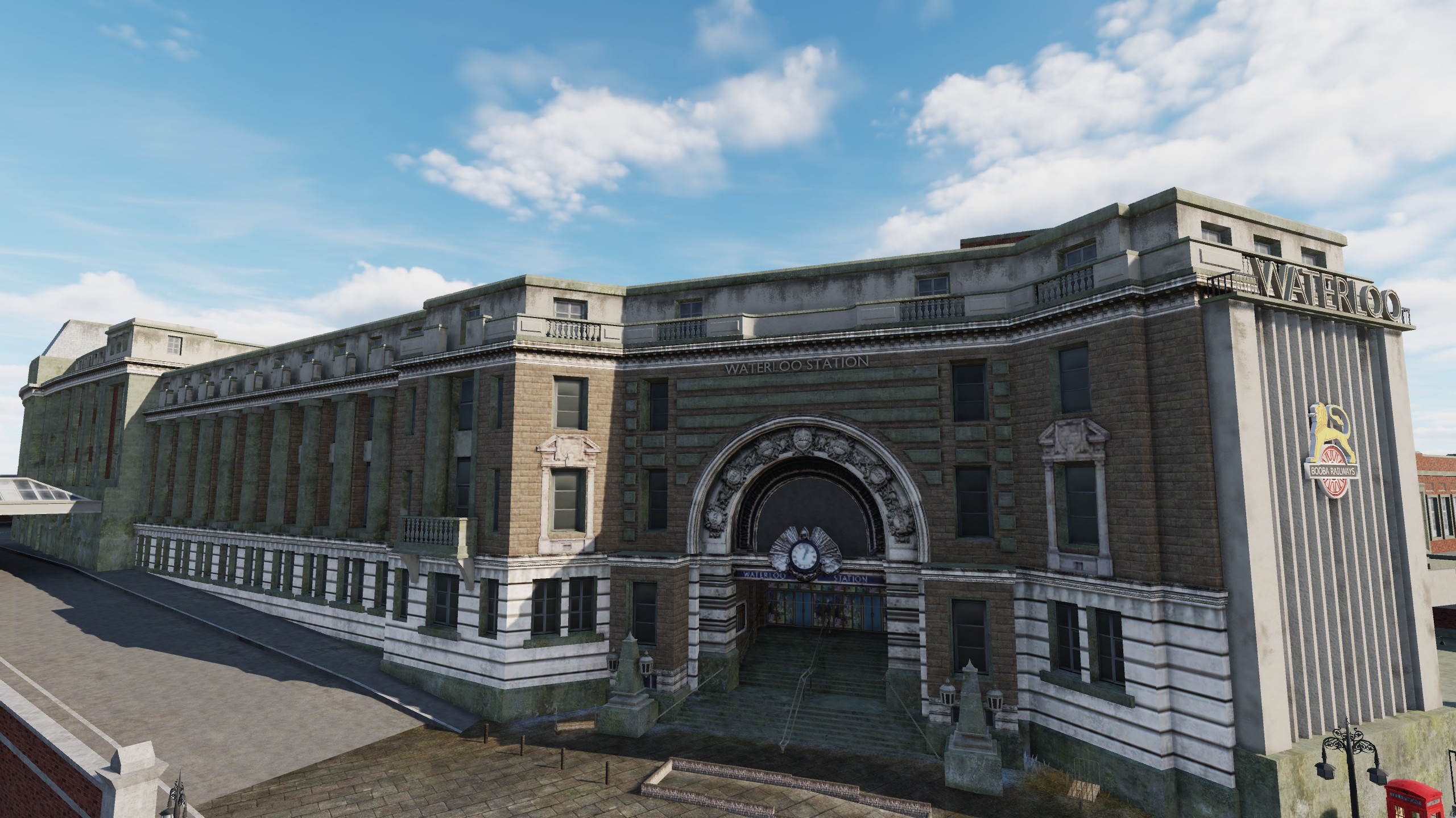
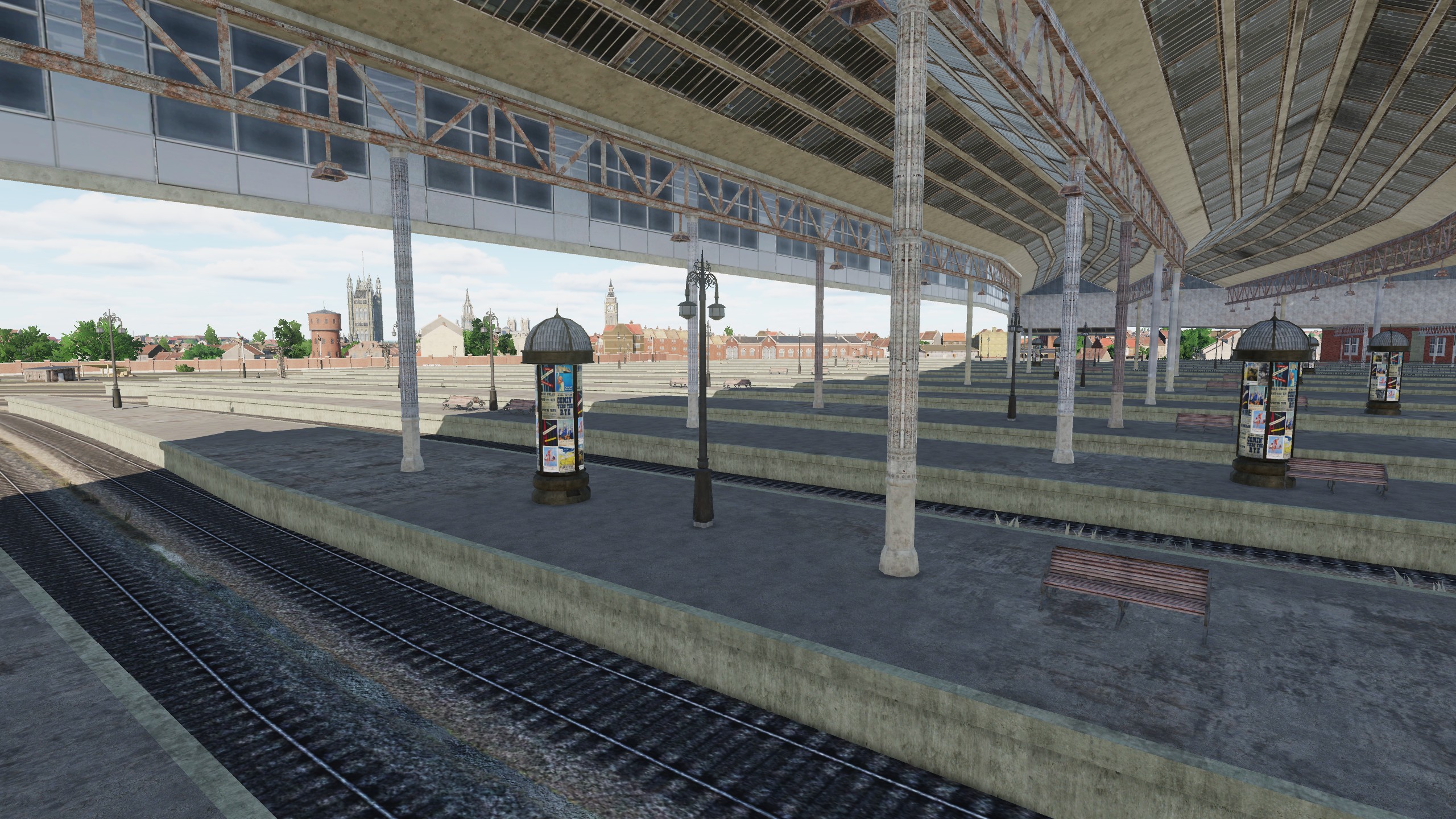
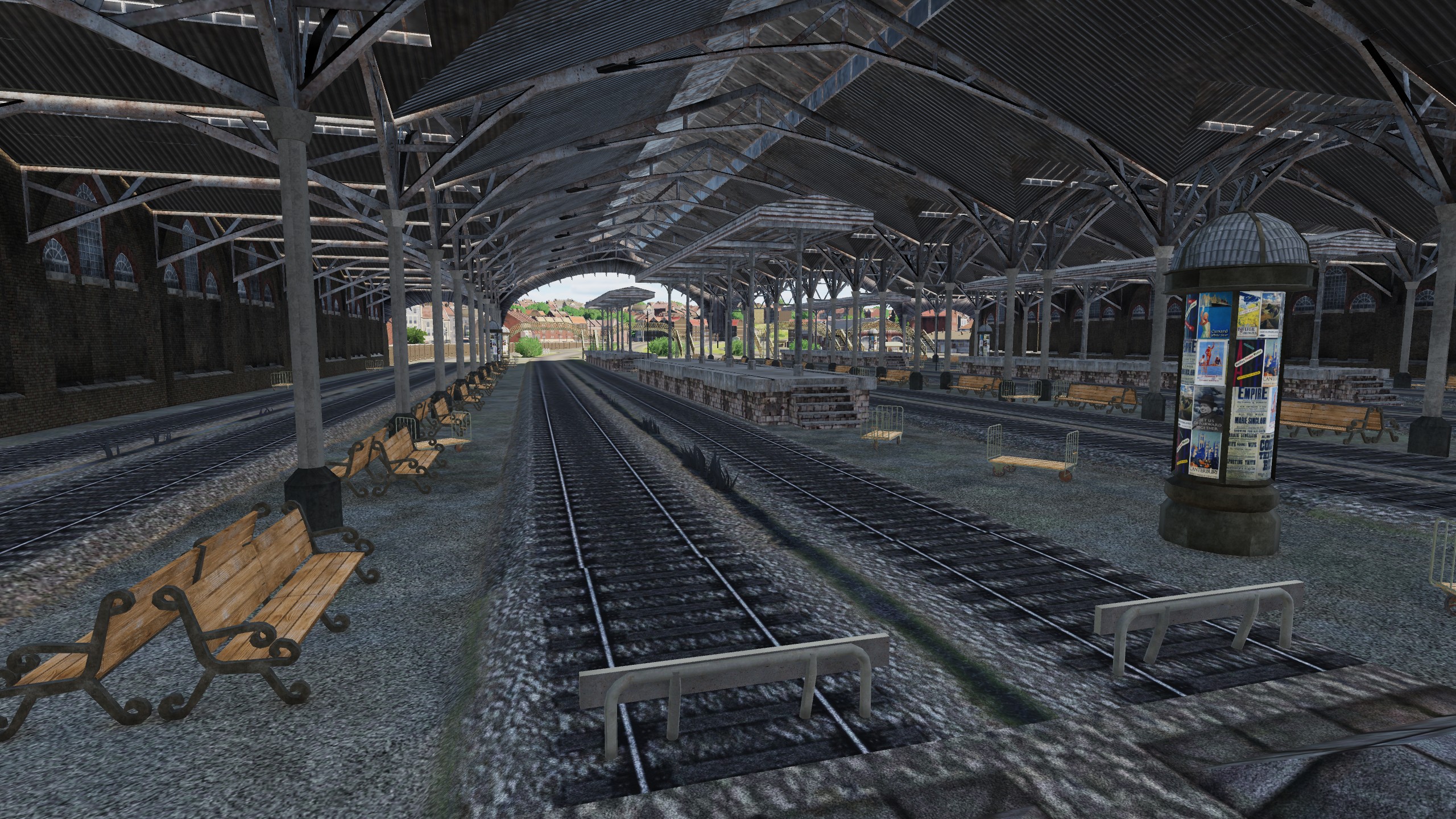
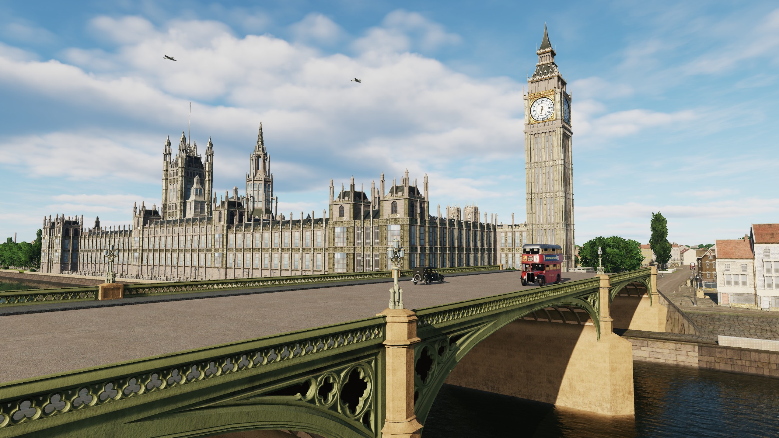
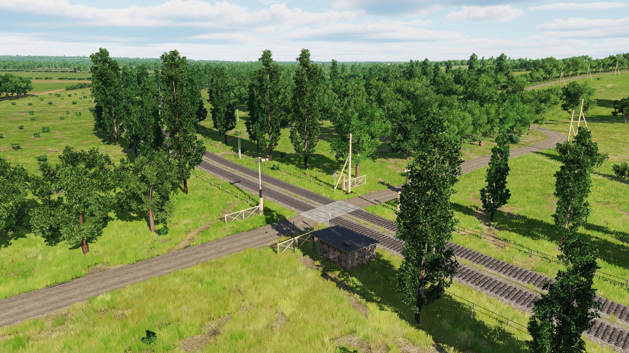
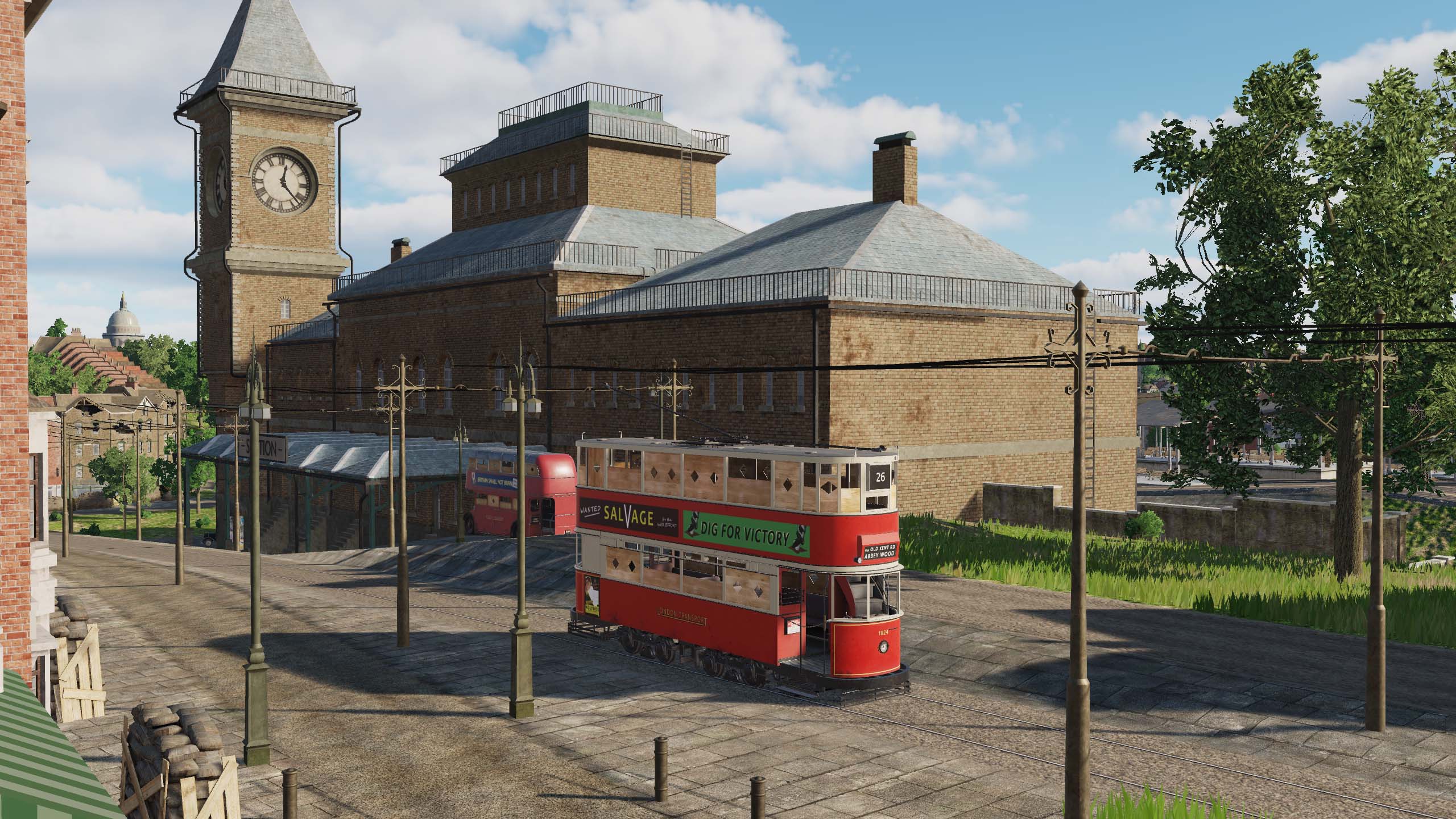
HELLO PILOTS Welcome to Digital Train Simulator We paid attention to the production of railway lines - this is not accidental, because railways are an important part of the infrastructure. During the war, the railroad accounted for most of the cargo turnover of the participating countries. Railway stations are important targets, landmarks, and train stations in London and Paris are real architectural treasures. London Victoria London Waterloo London Liverpool Street Paris-Est Paris-Nord Paris-Saint-Lazare Paris-Montparnasse

- 377 replies
-
- 30
-

-

-
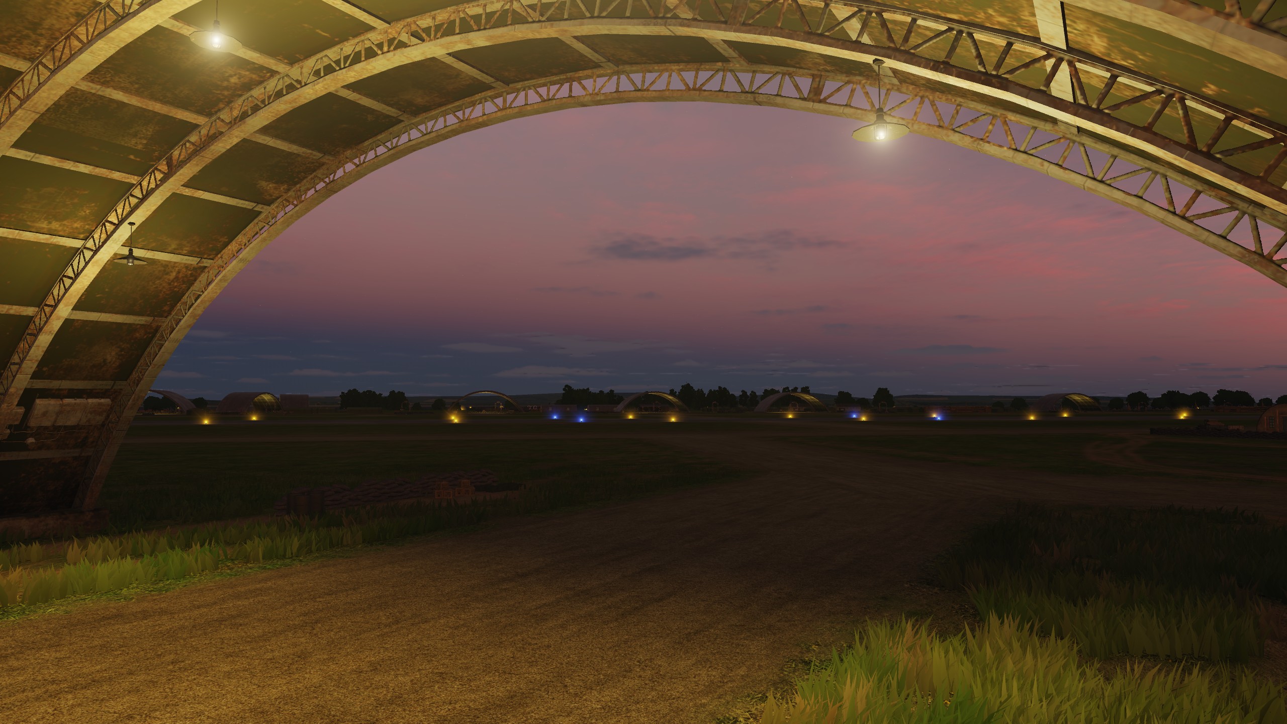
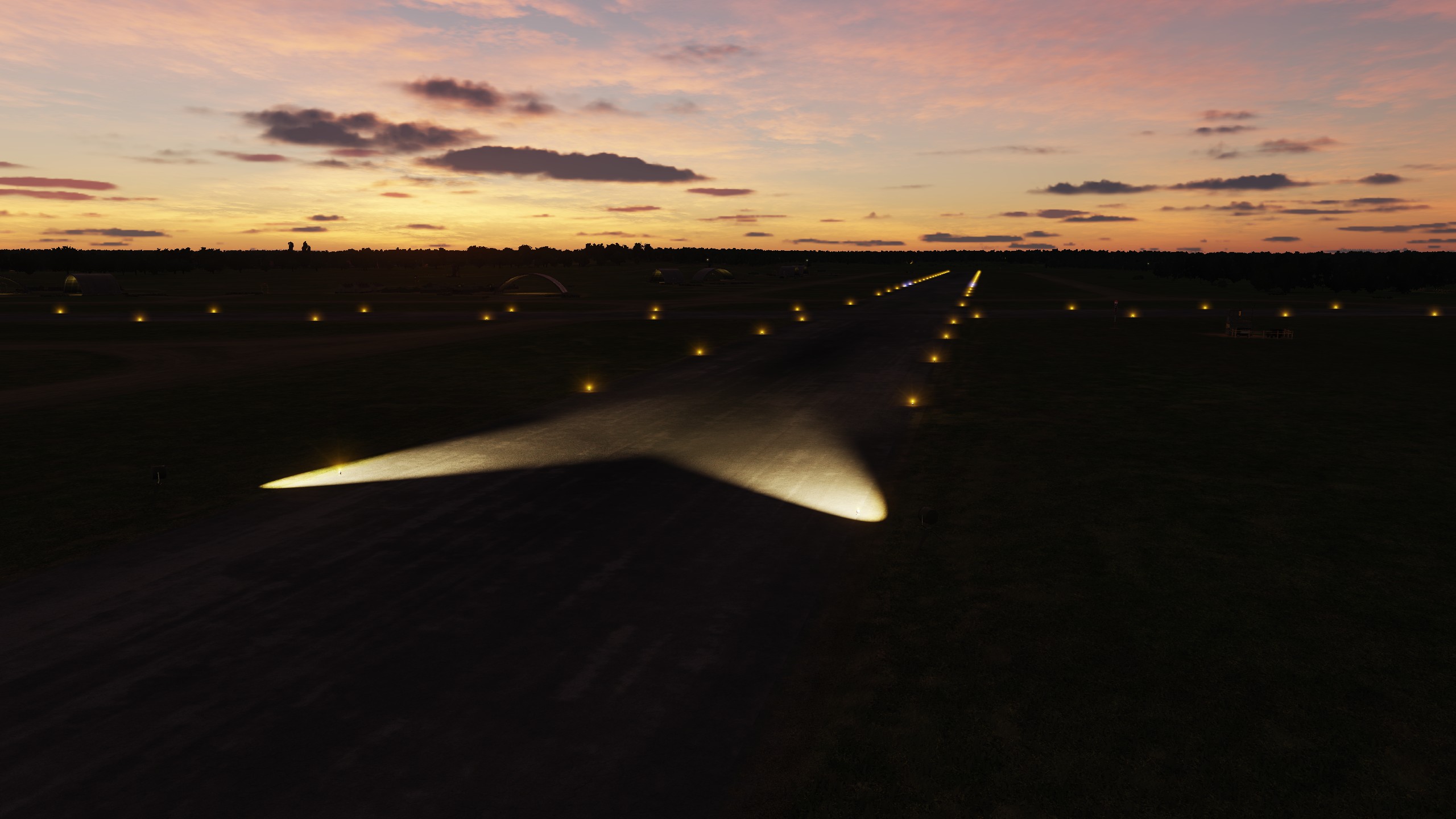
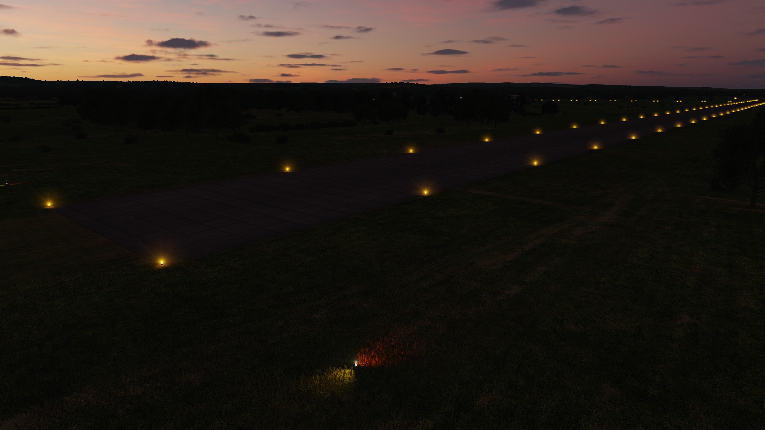
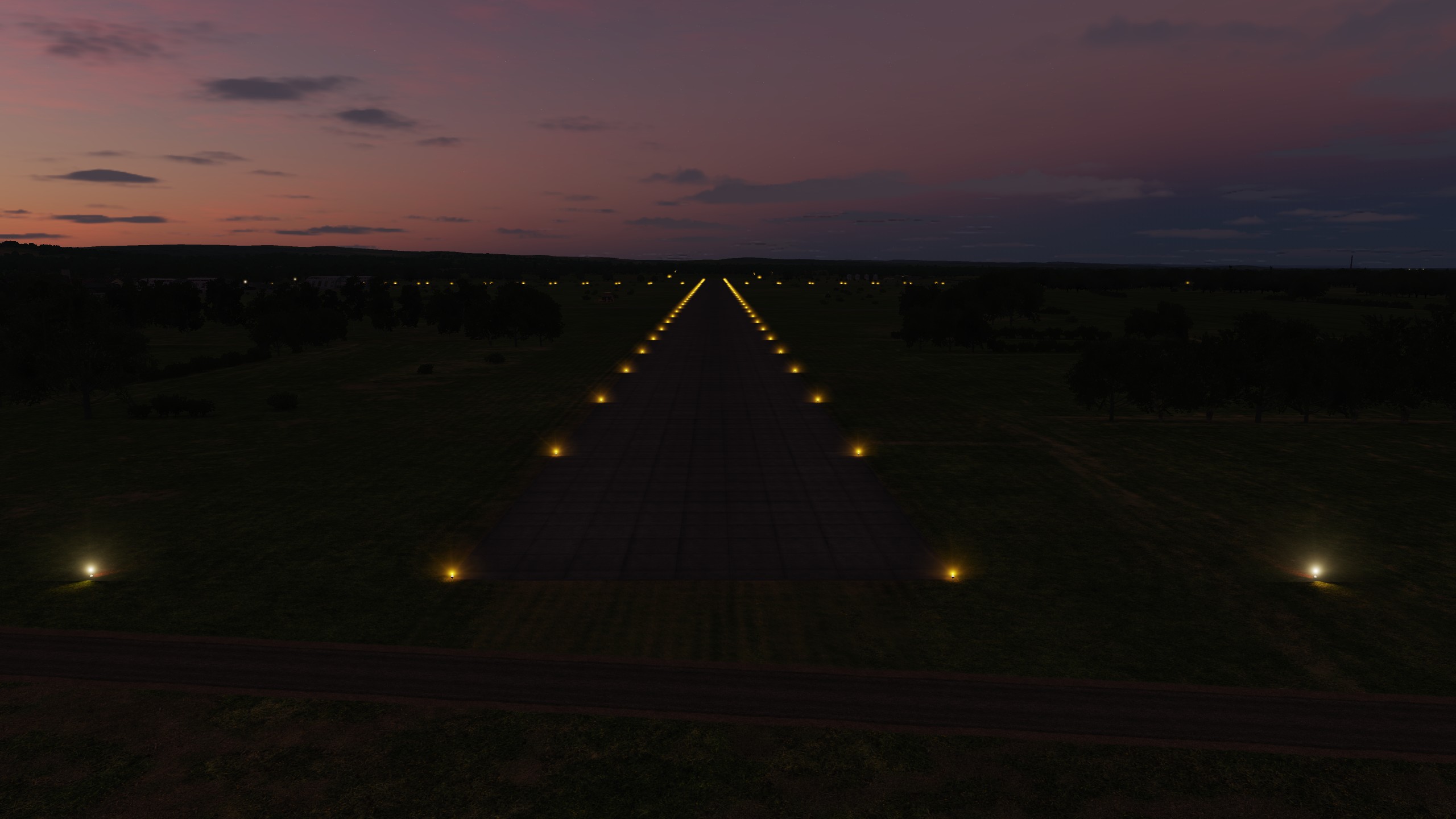
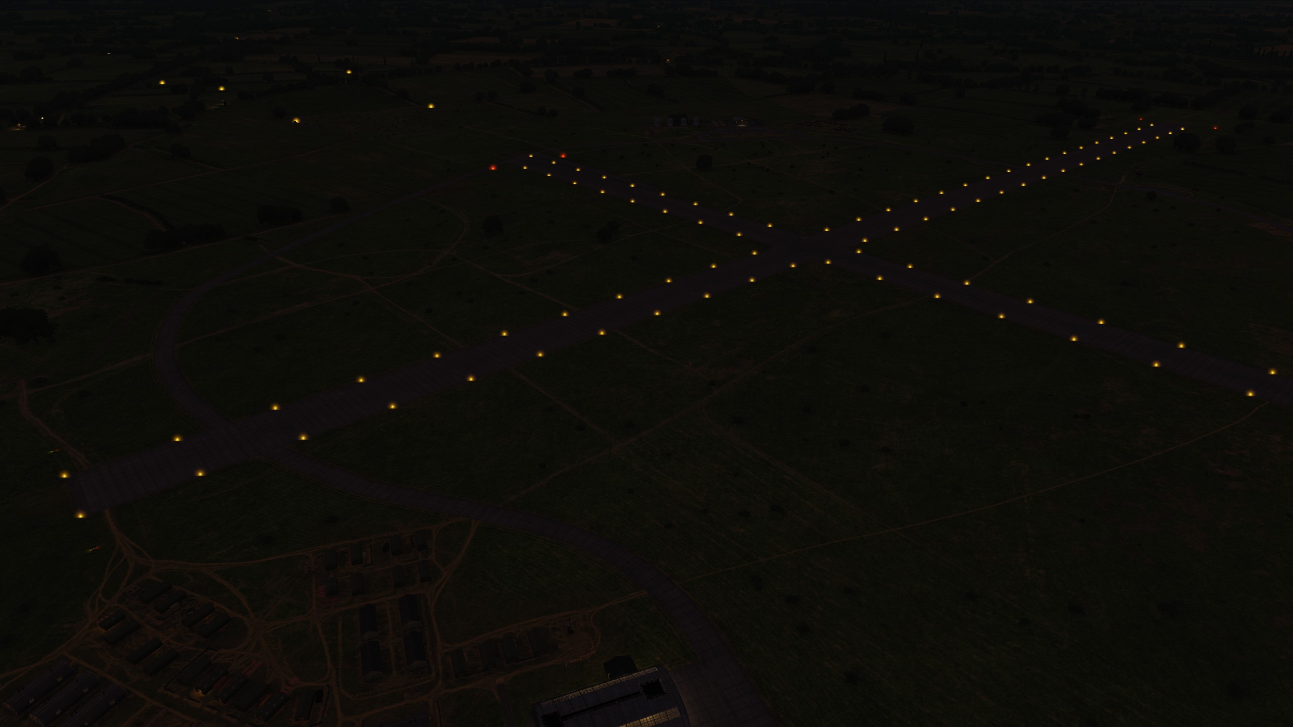
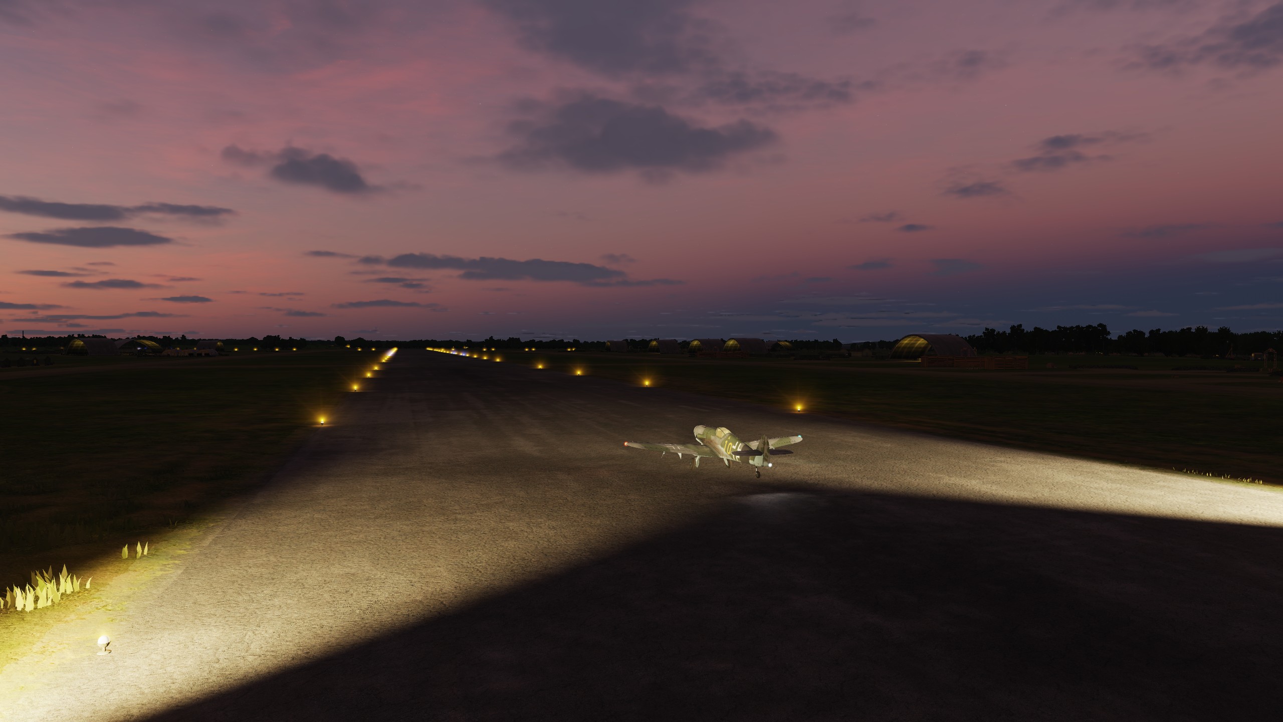
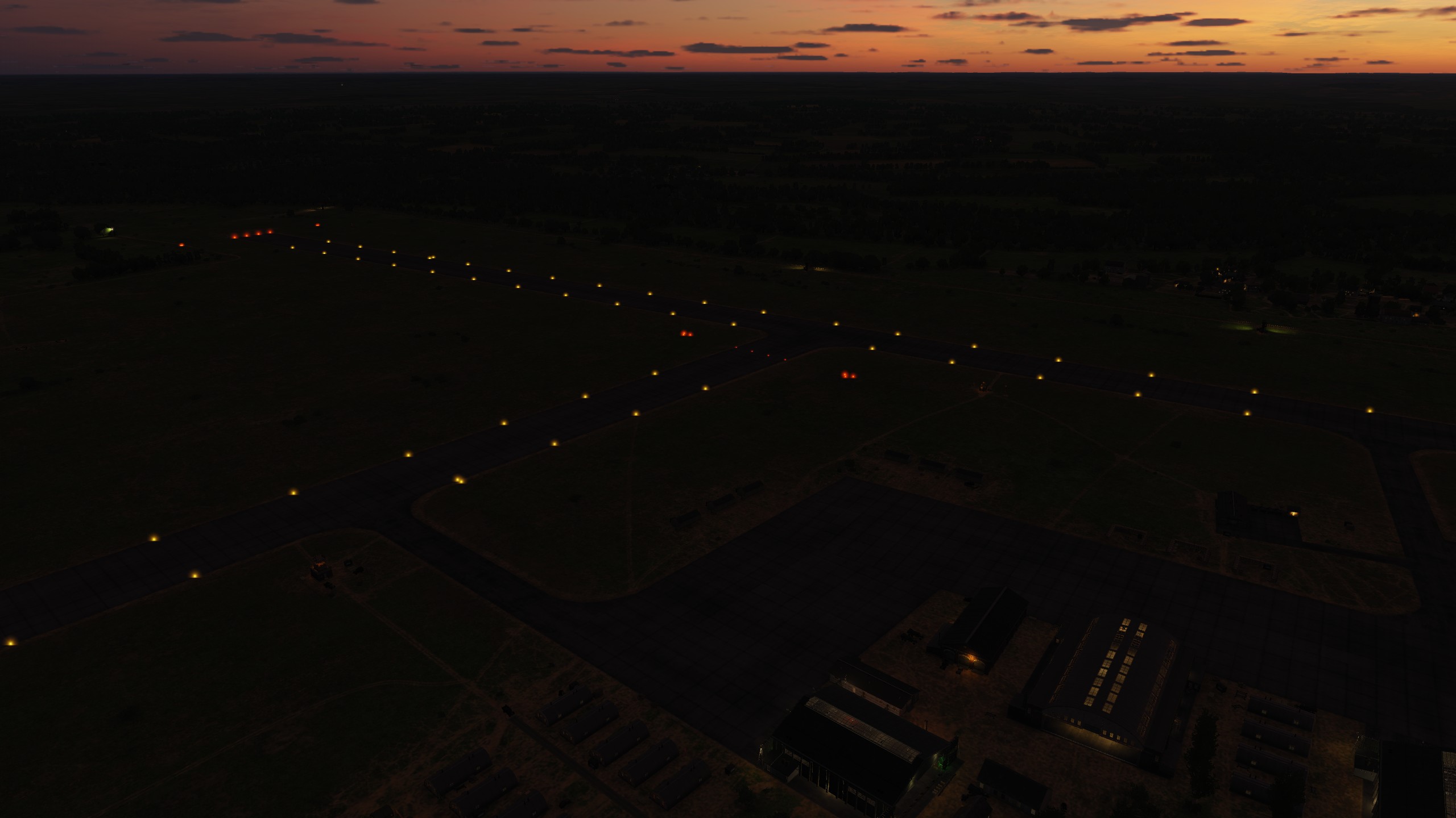
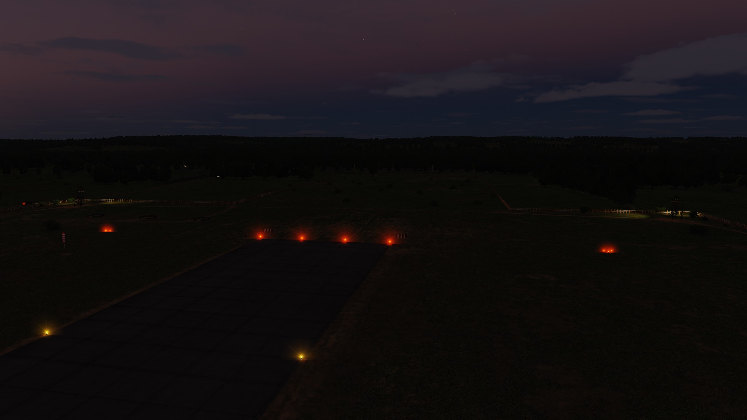
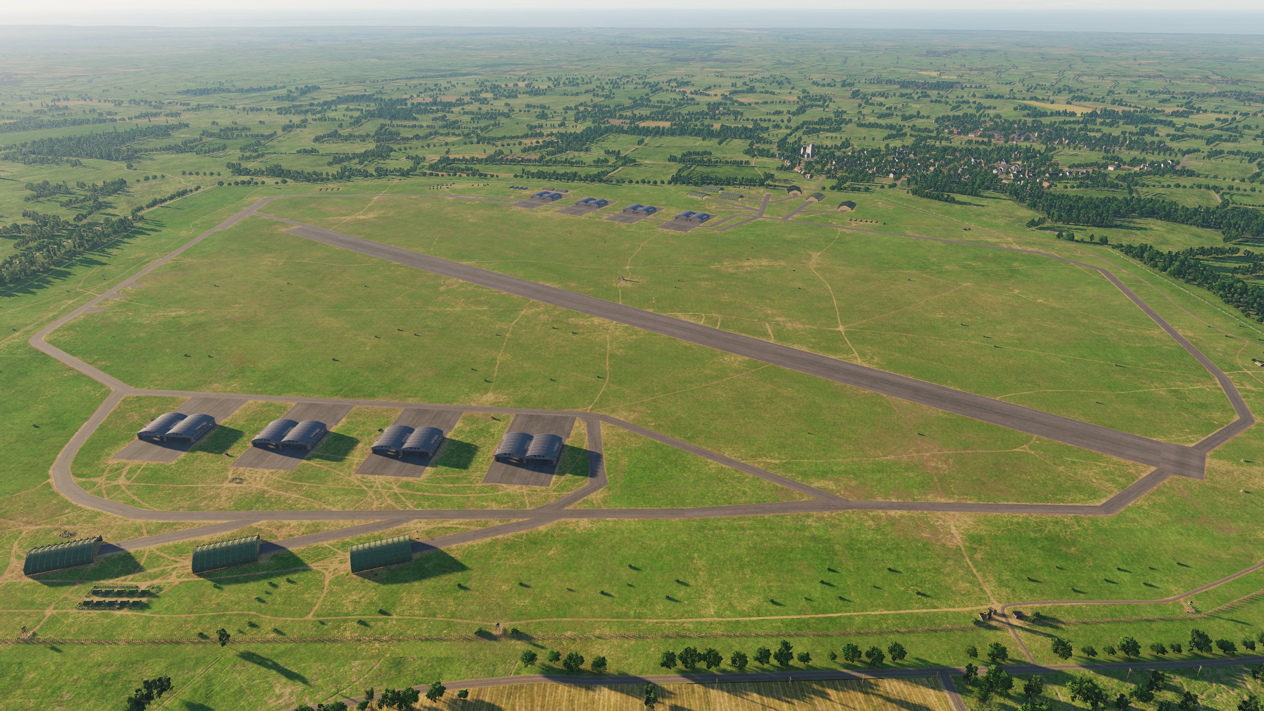
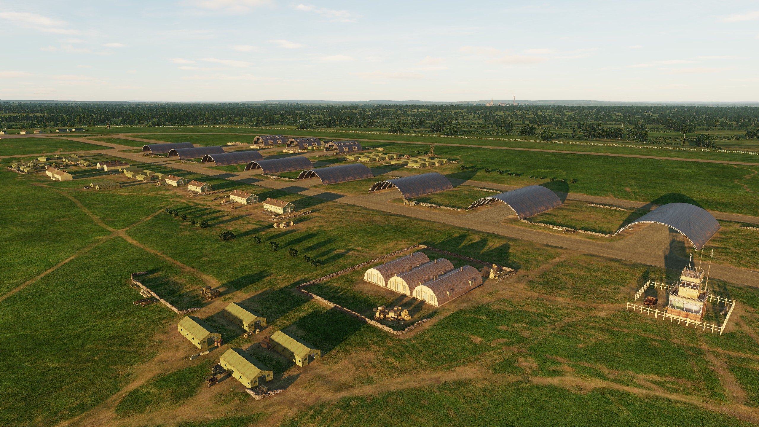
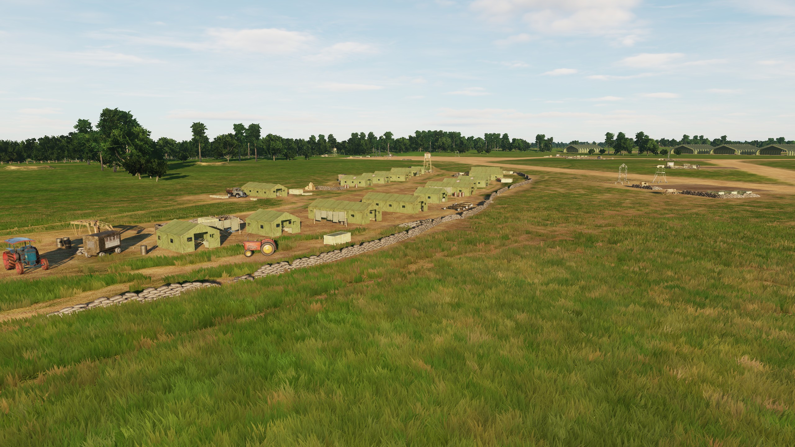
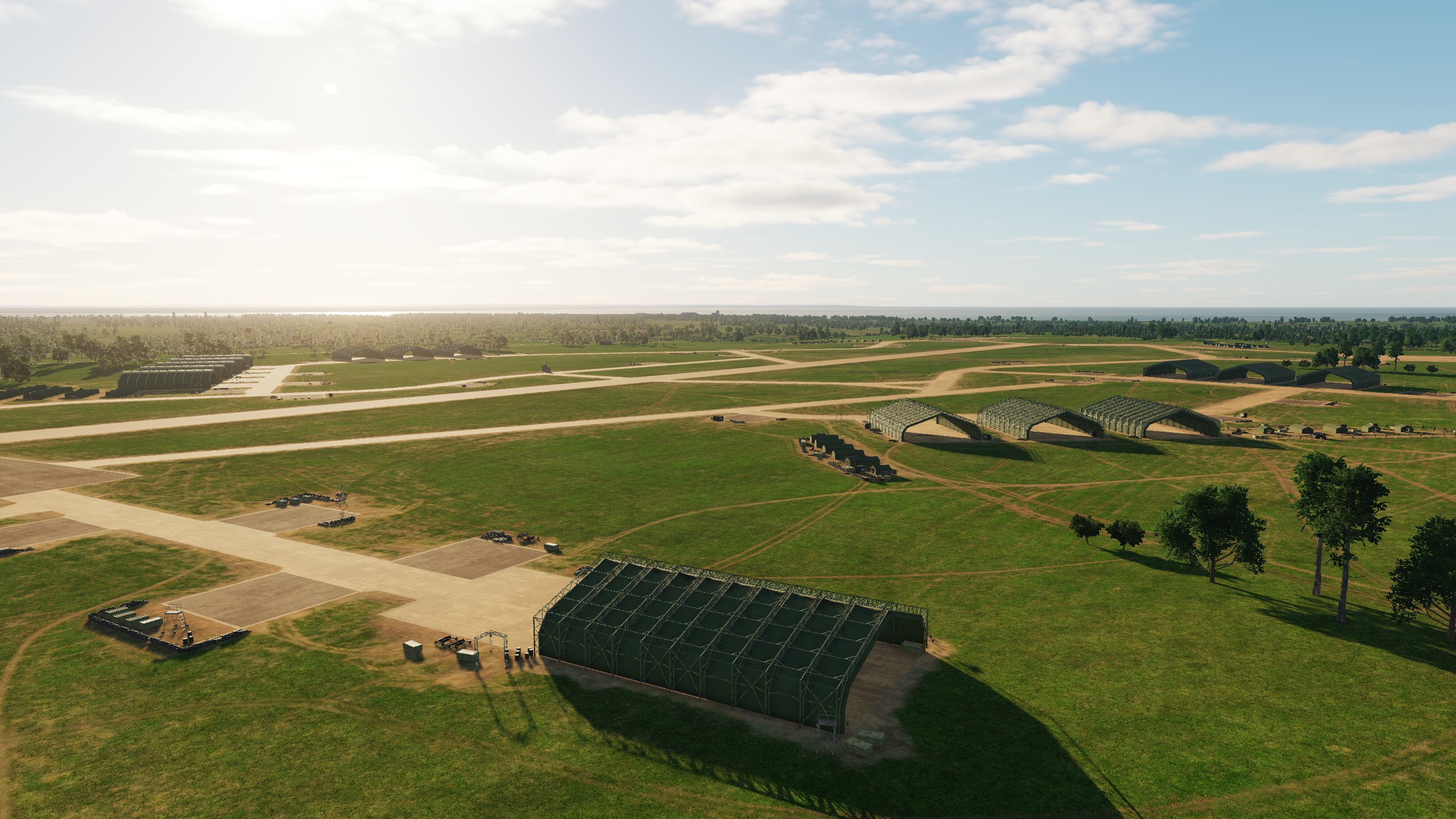
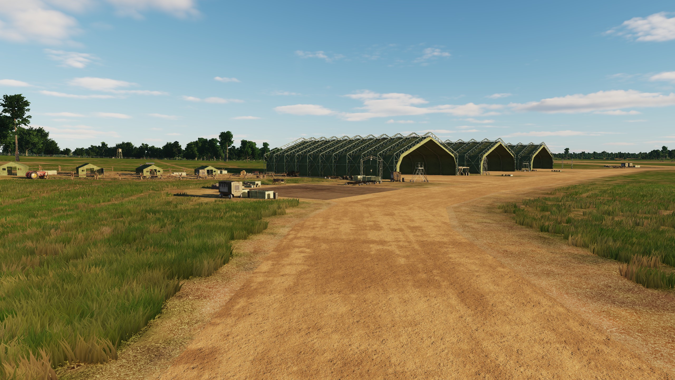
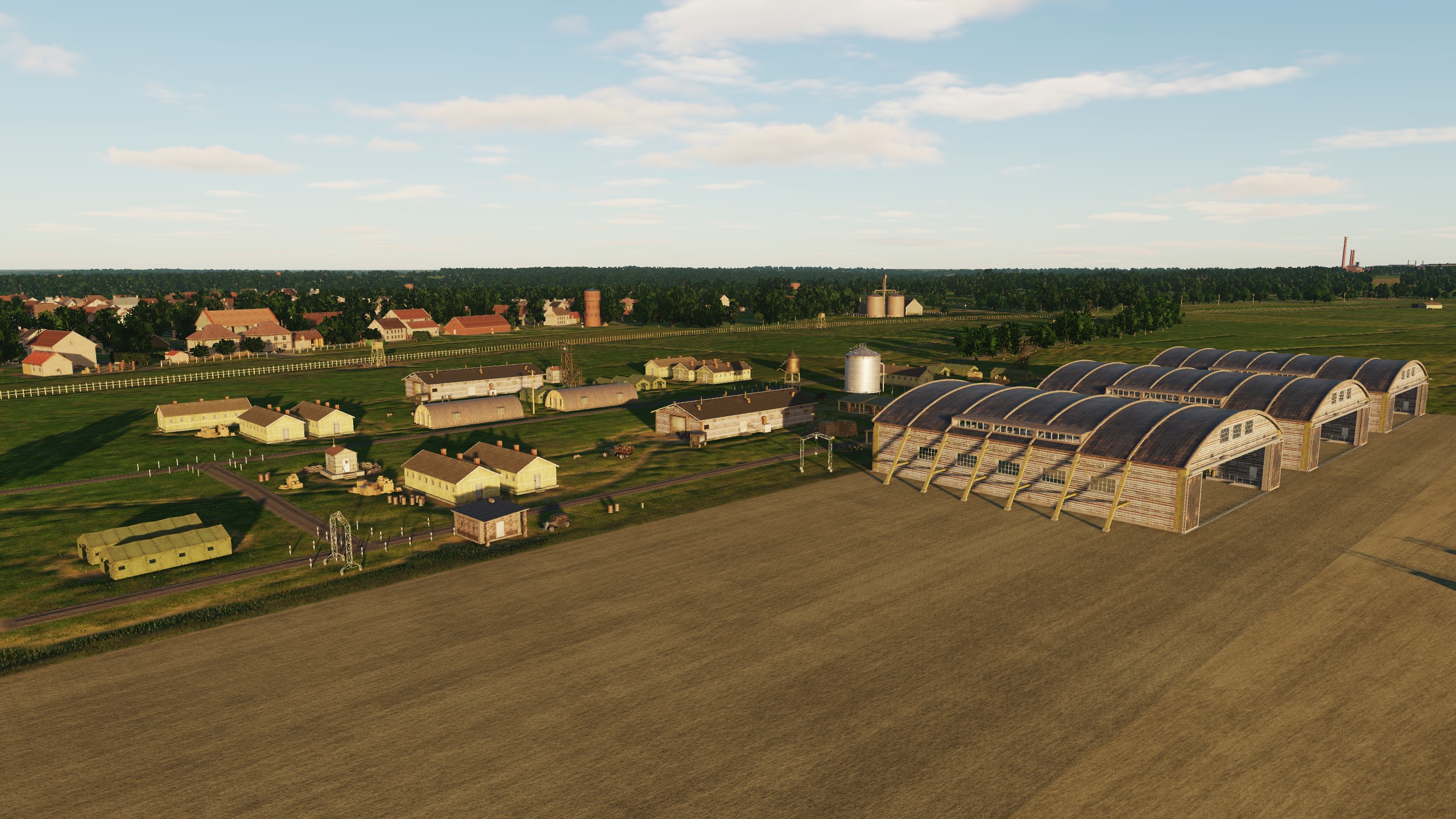
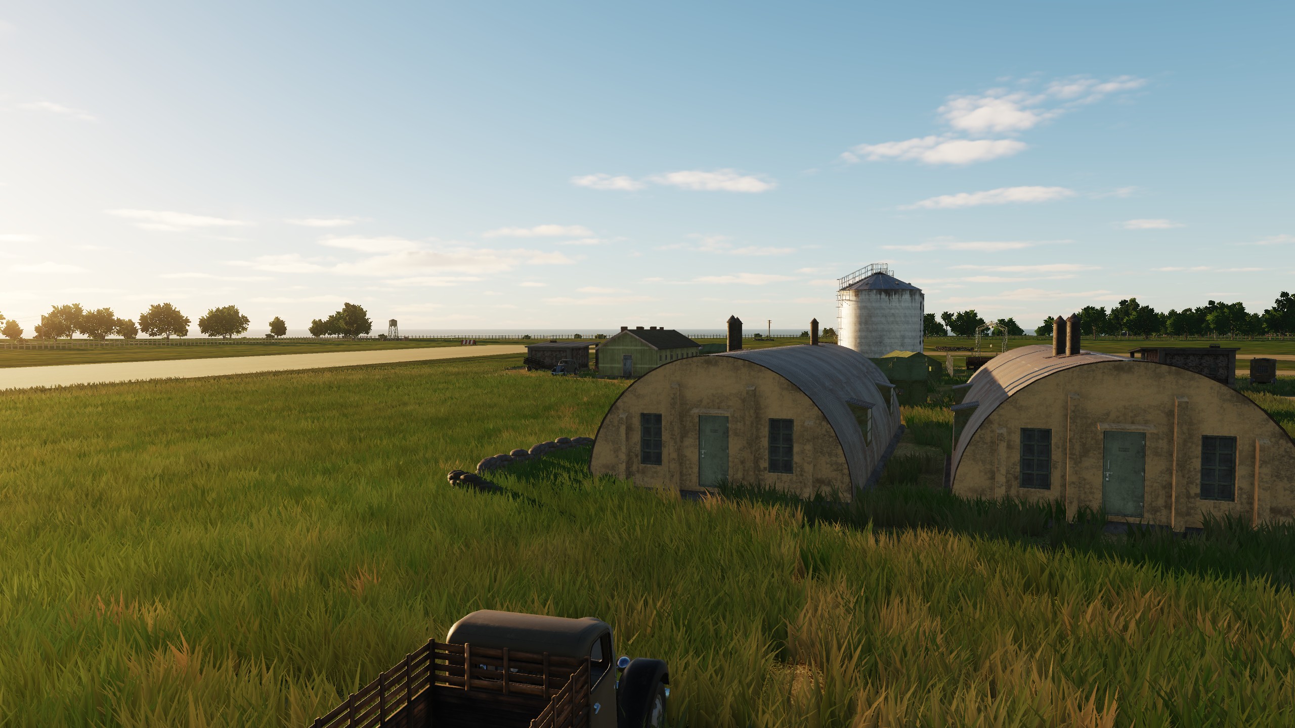
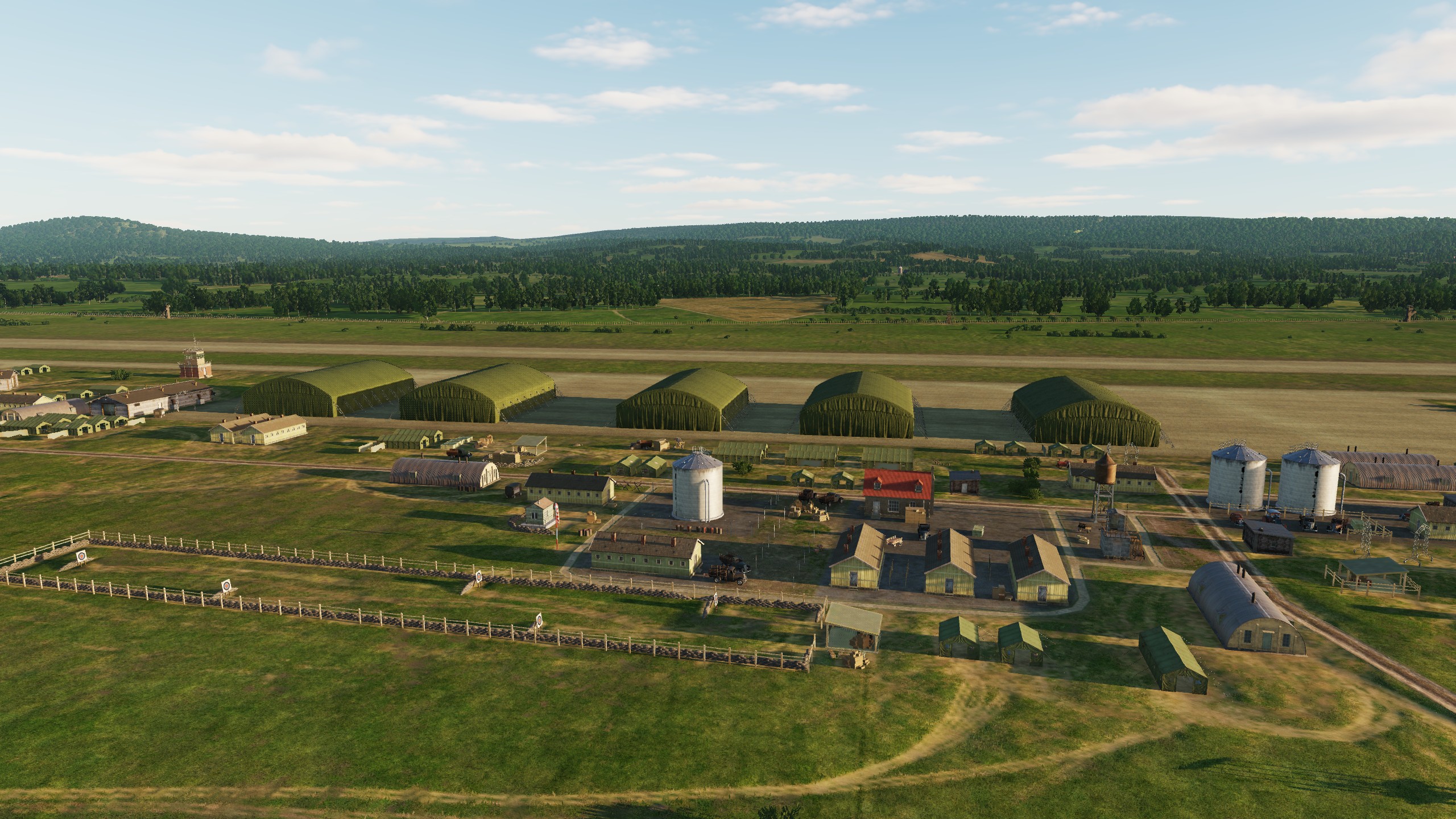
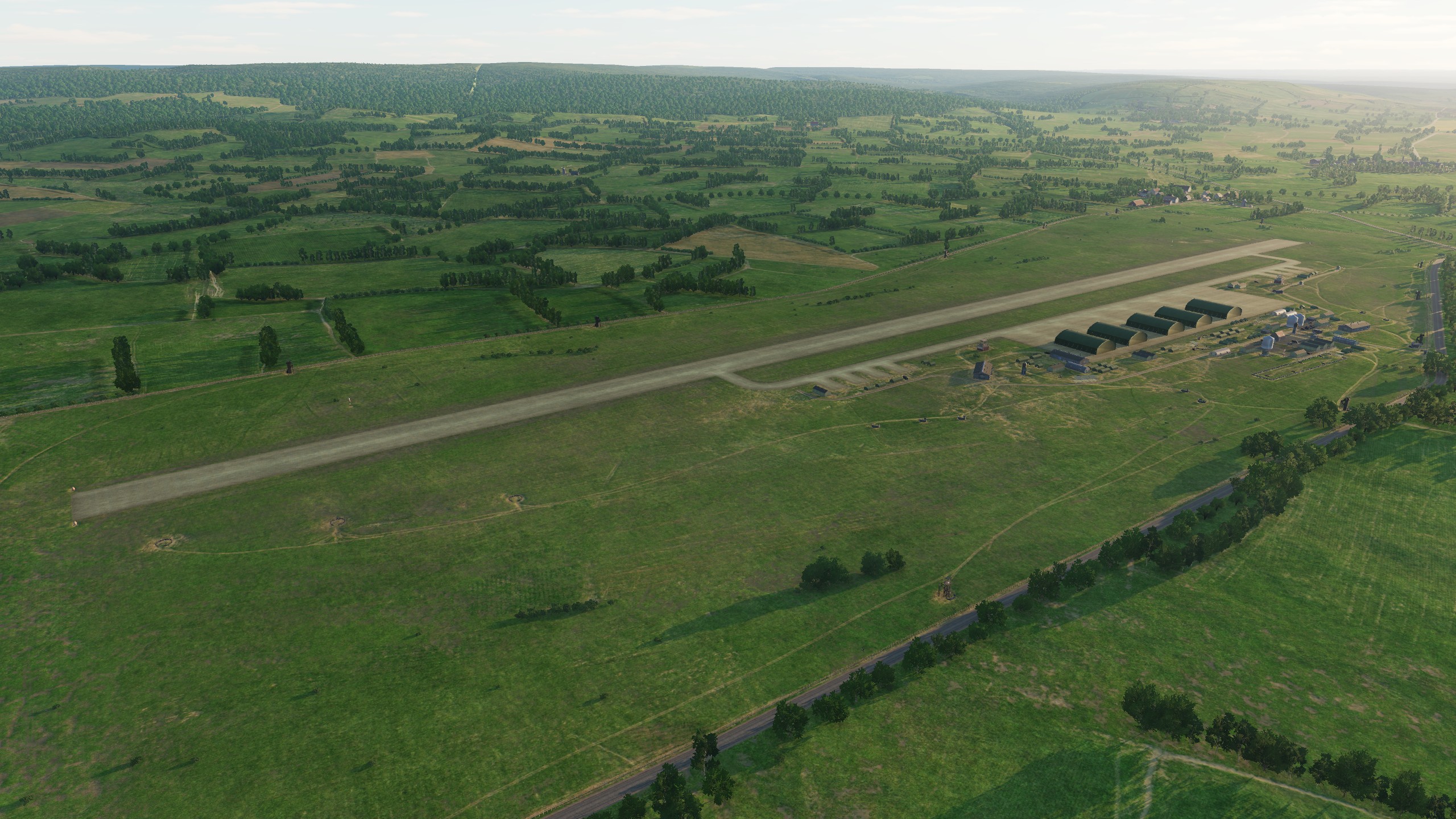
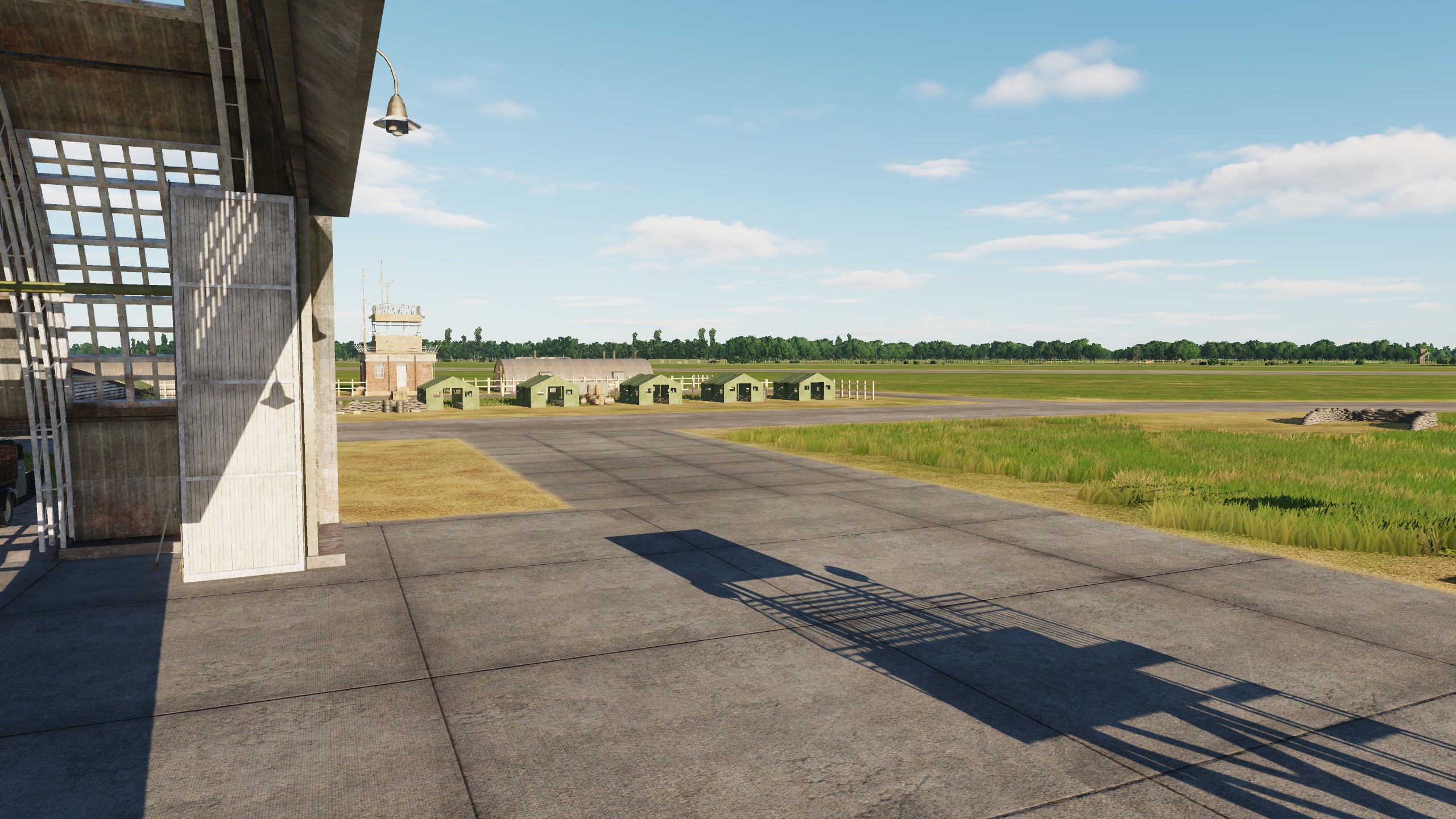
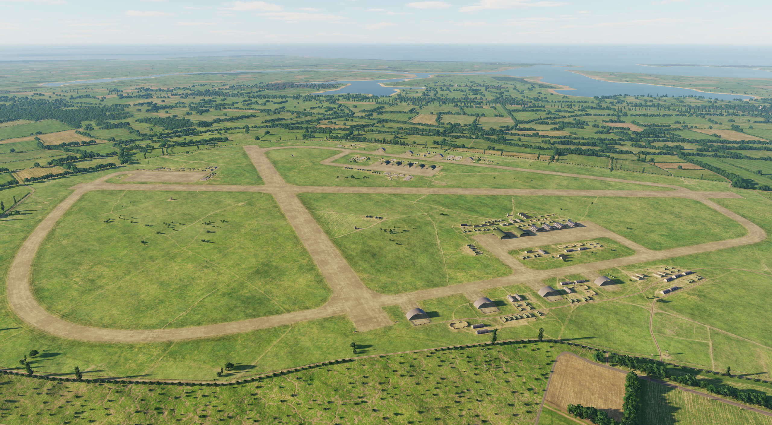
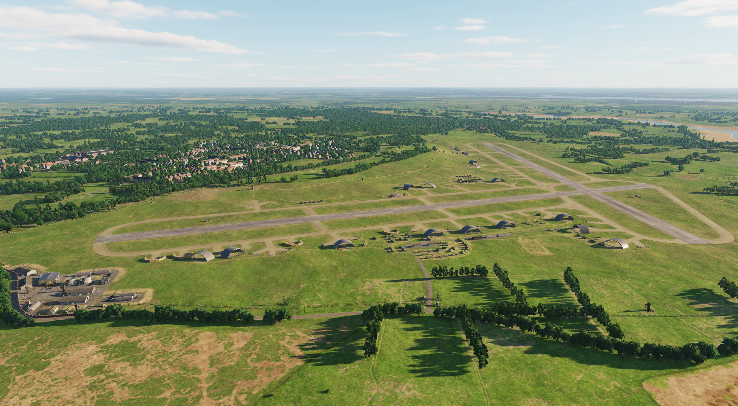
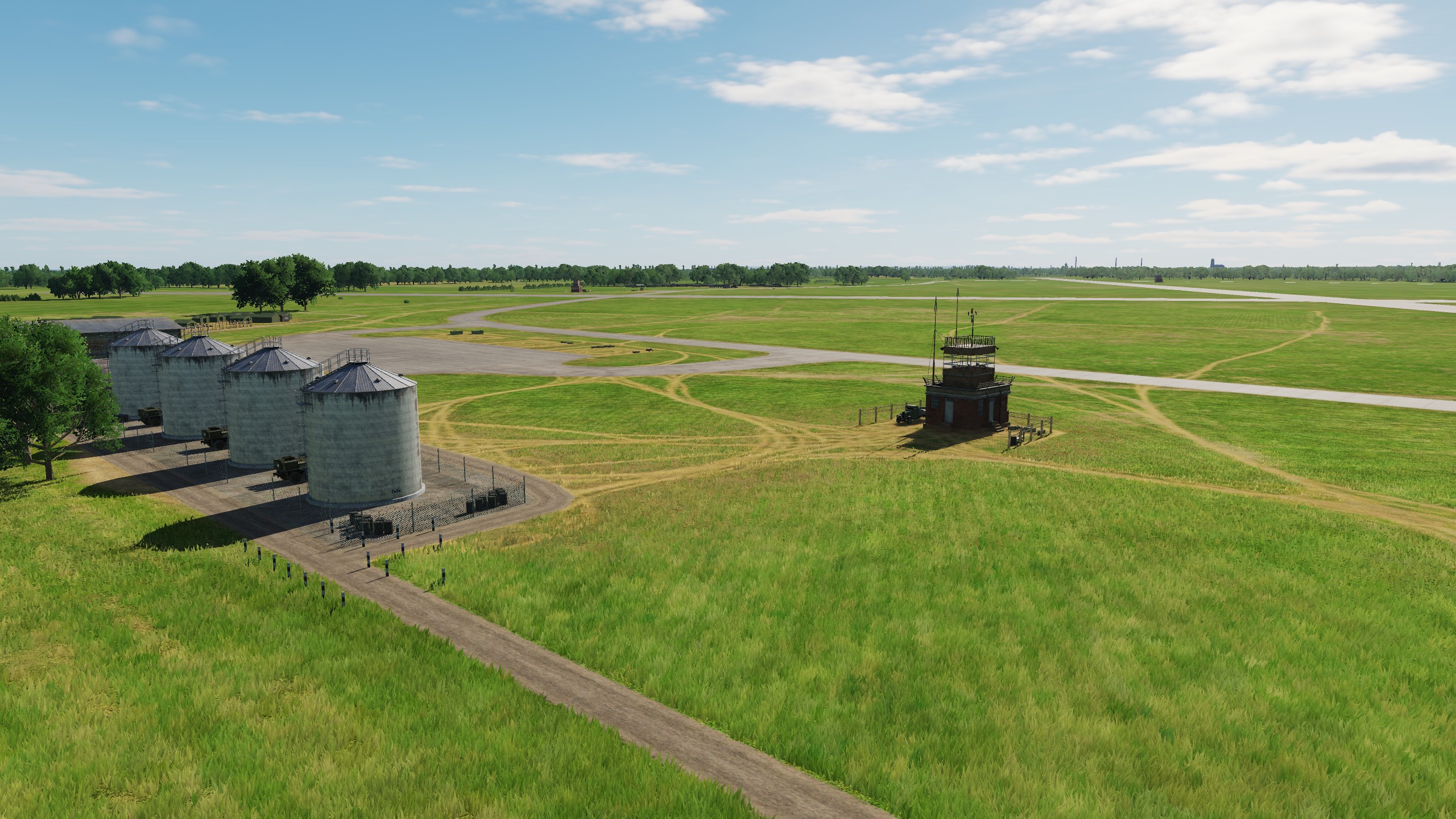
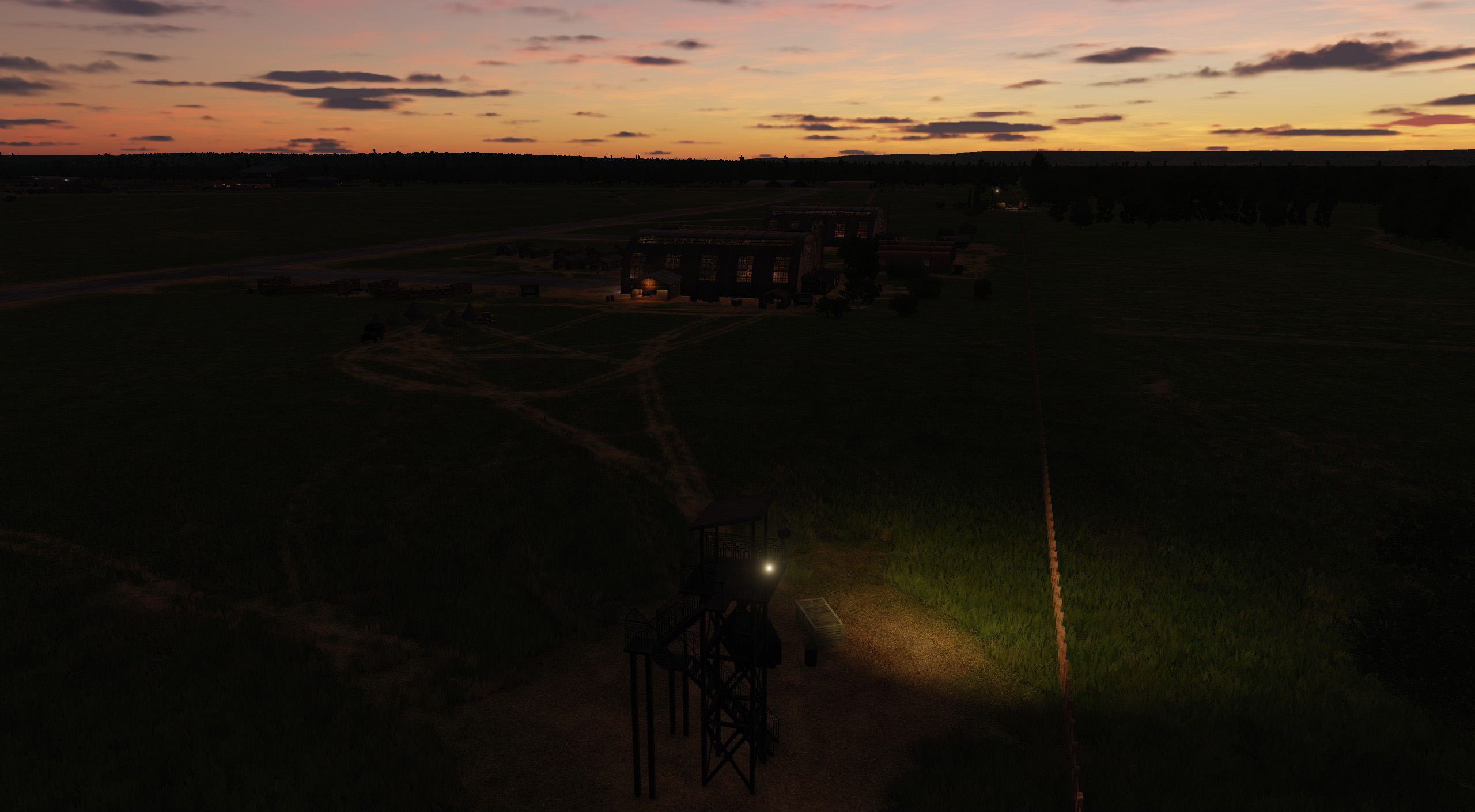
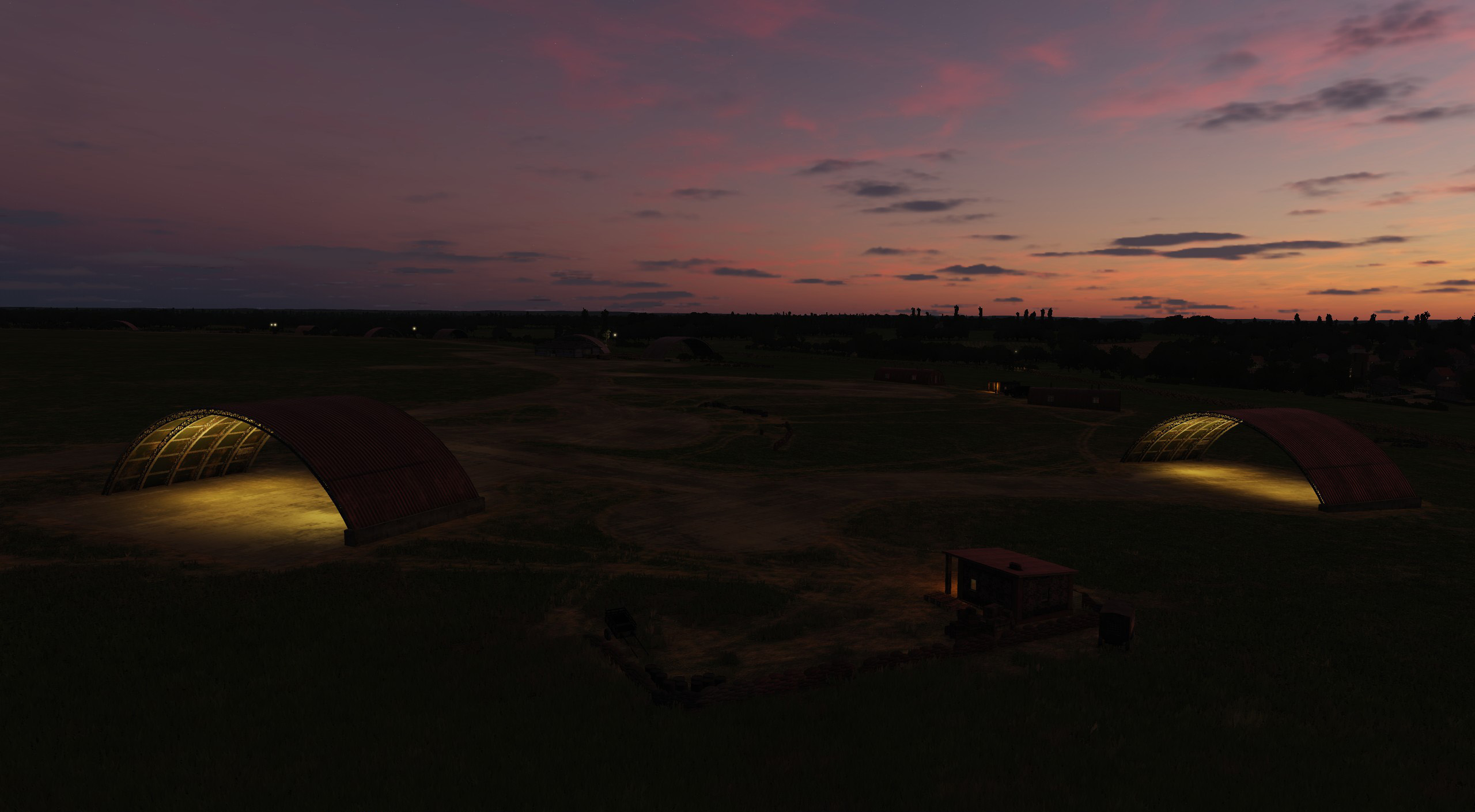
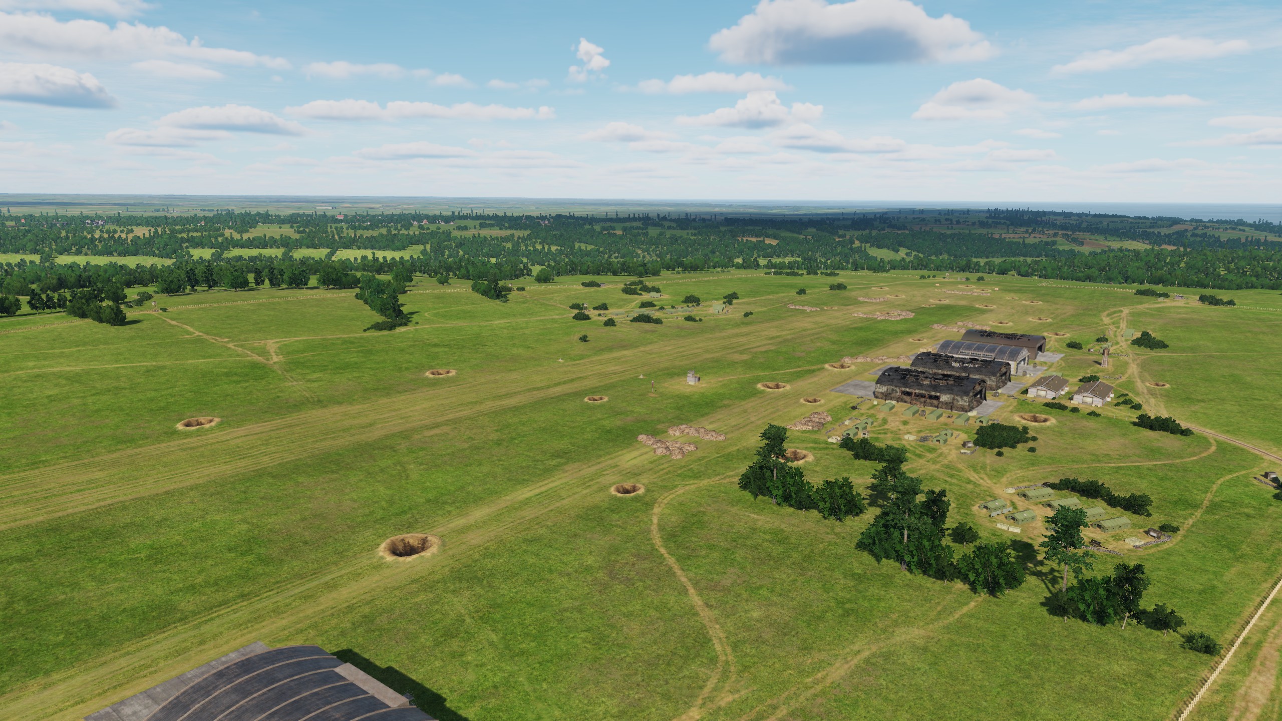
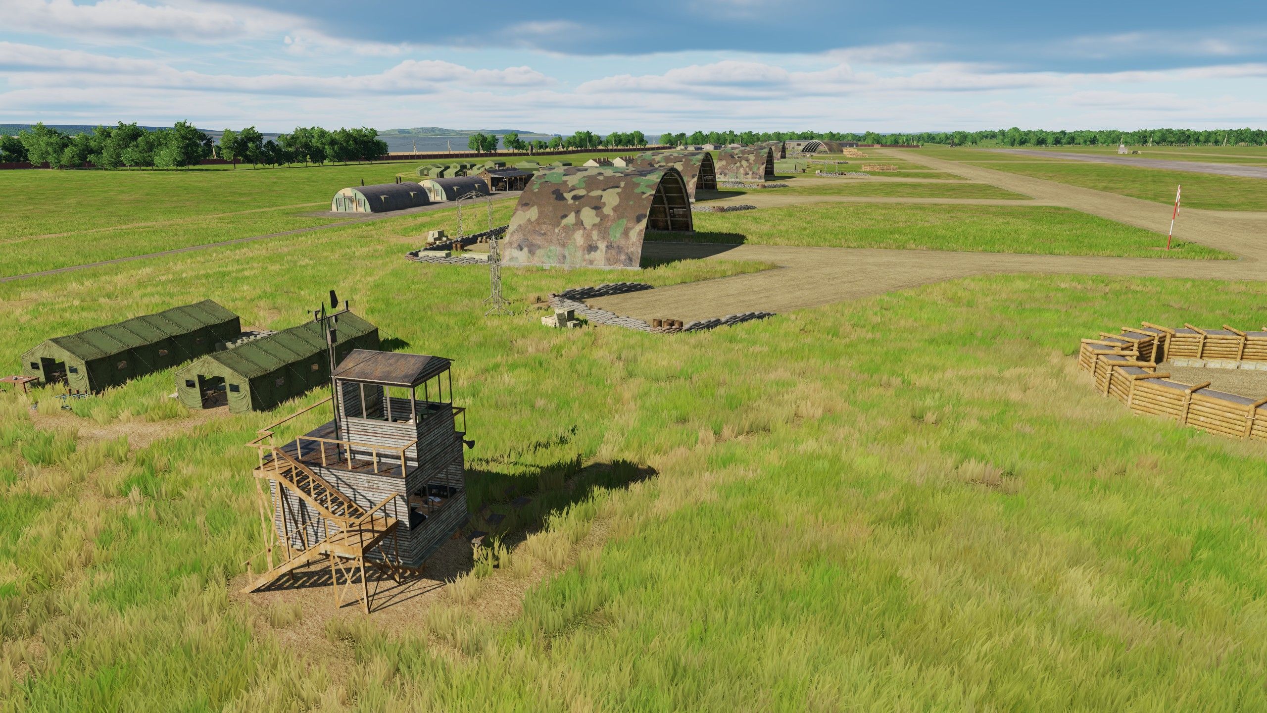
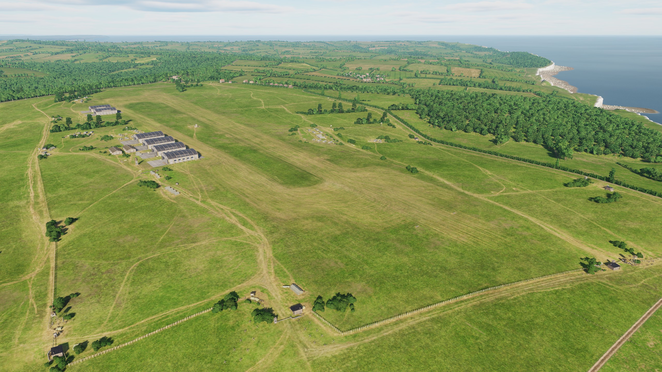
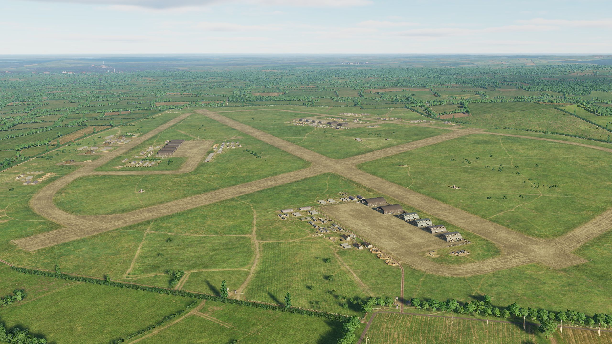
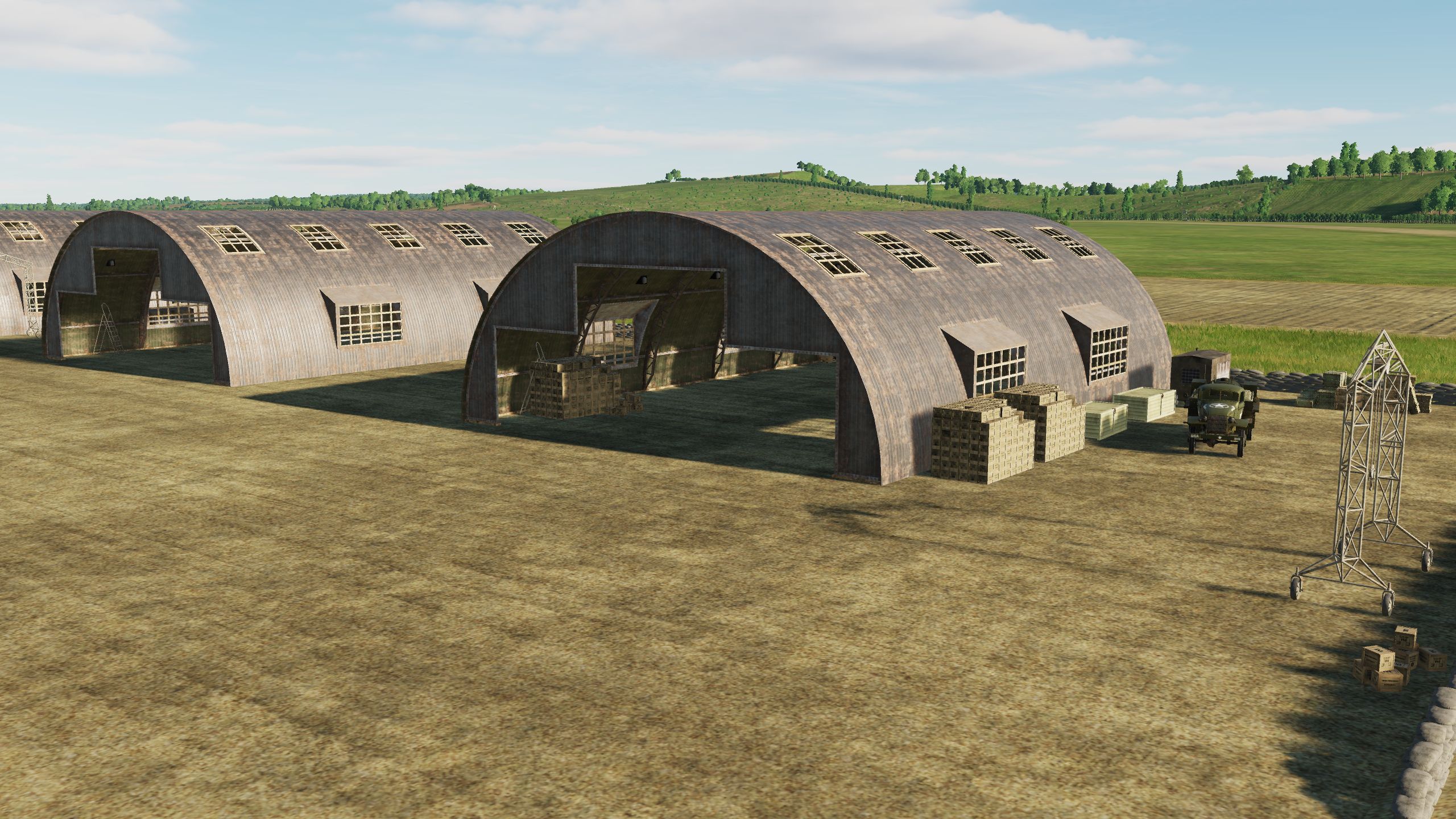
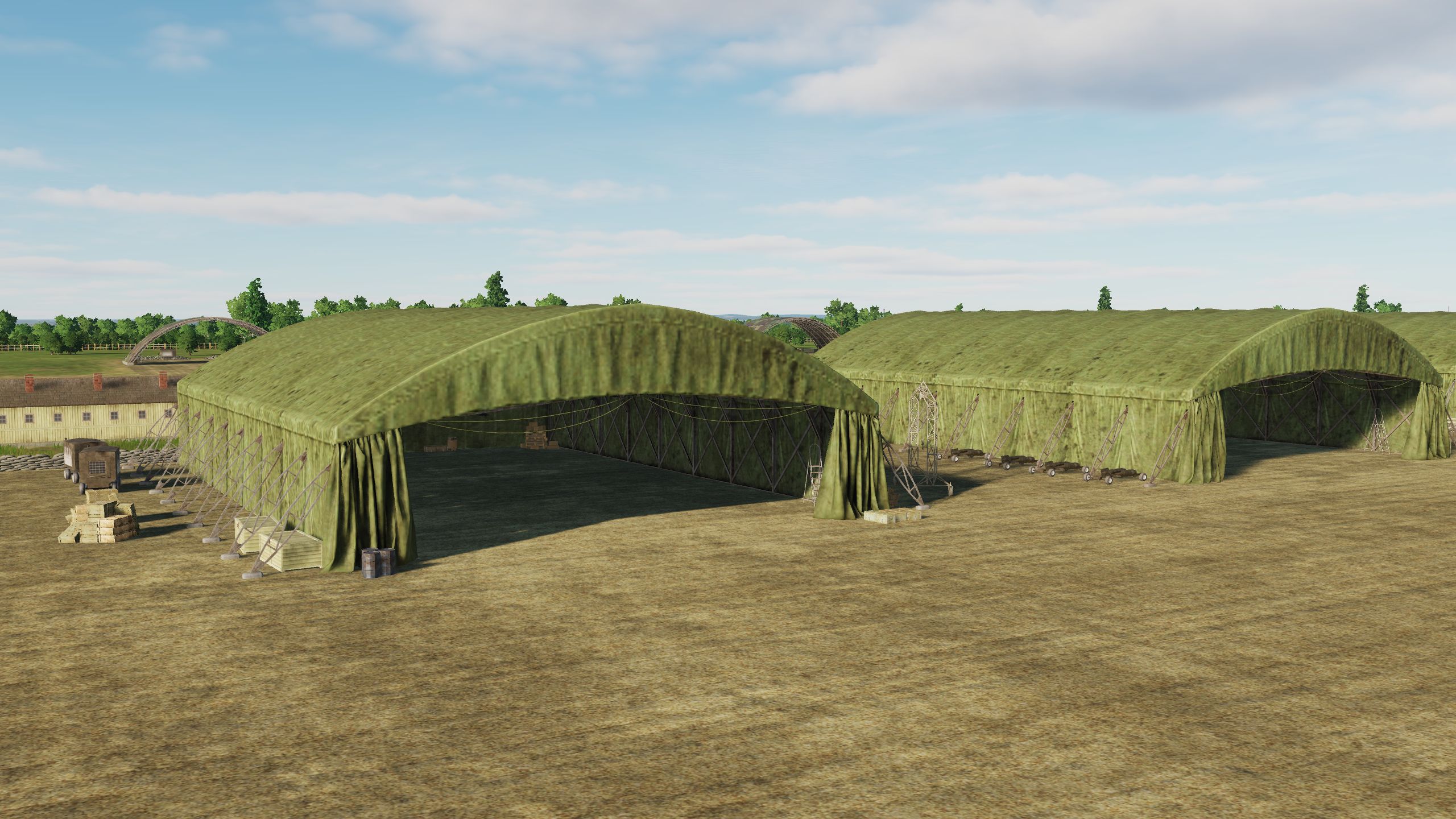
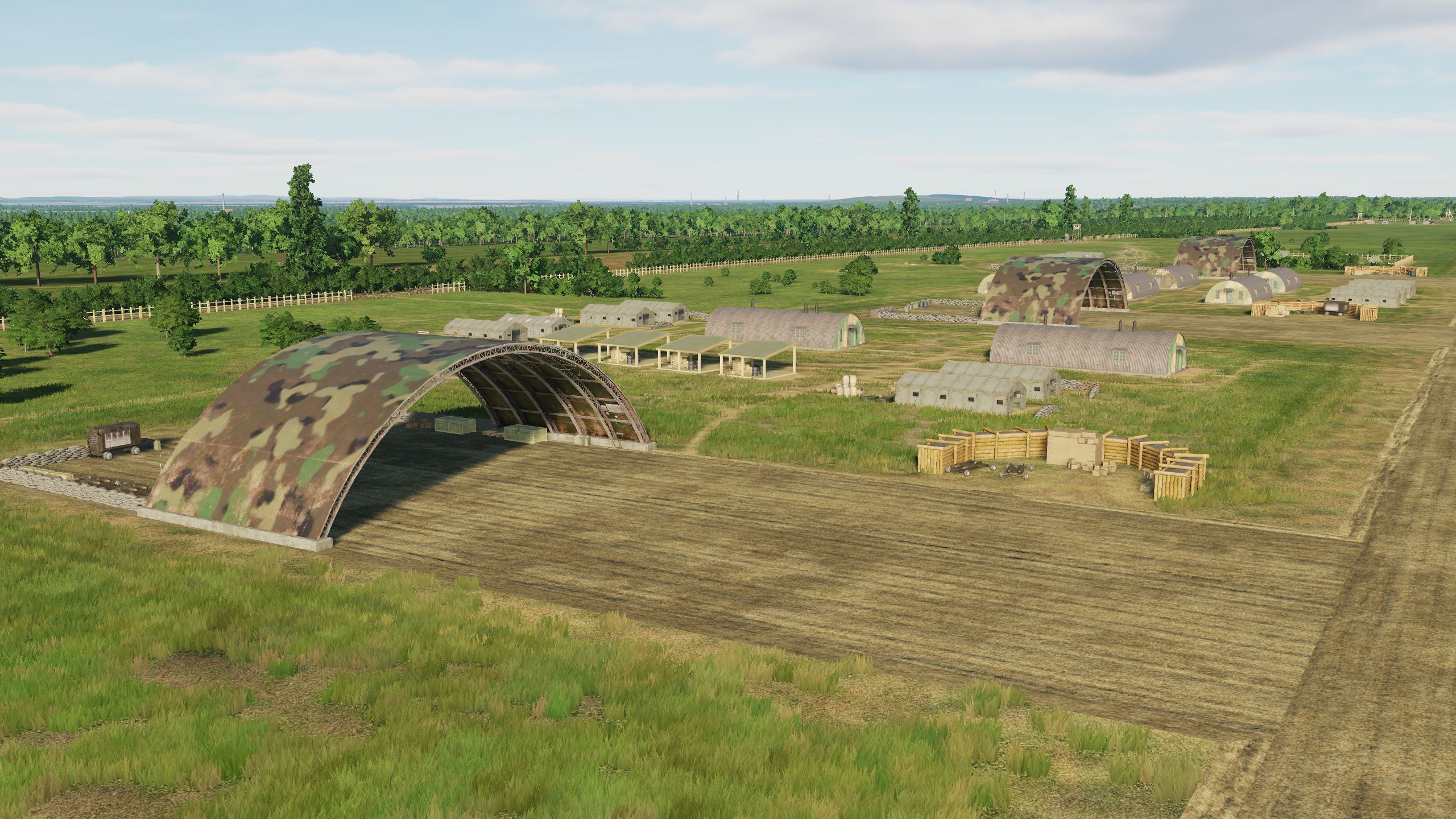
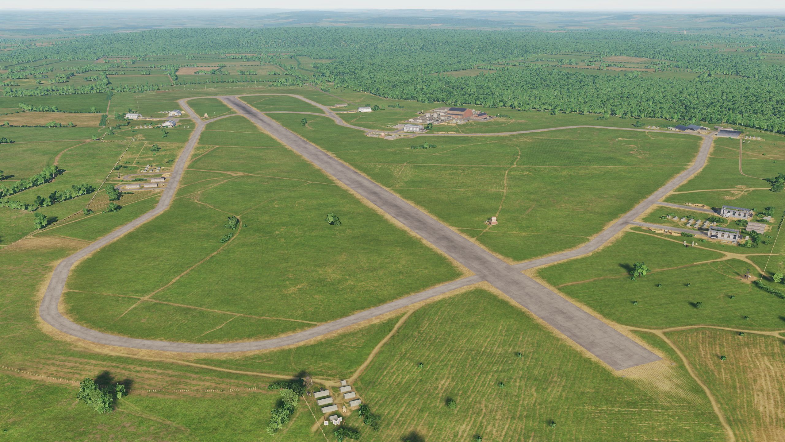
Hello fighters! We're excited to introduce what you've been asking about: Airfield Lighting Systems. Lights . . . . . . . . . . . . . ON Unexpectedly, many airfields were equipped with permanent lighting systems. The Allies and the Wehrmacht ensured round-the-clock operation of airfields and already in those years, lights hidden in the ground were created - the ancestors of airfield lights that we can see now in airports. Depending on the situation, you can choose the mode when the lights are on or off. P.S.: We congratulate the ED team on the introduction of multithreading in DCS World. The entire DCS community benefits from this: for users, this is an increase performance, for developers, this is pushing the boundaries of development possibilities. Tangmere Needs Oar Point Odiham Amiens Glisy
- 377 replies
-
- 29
-
-
-
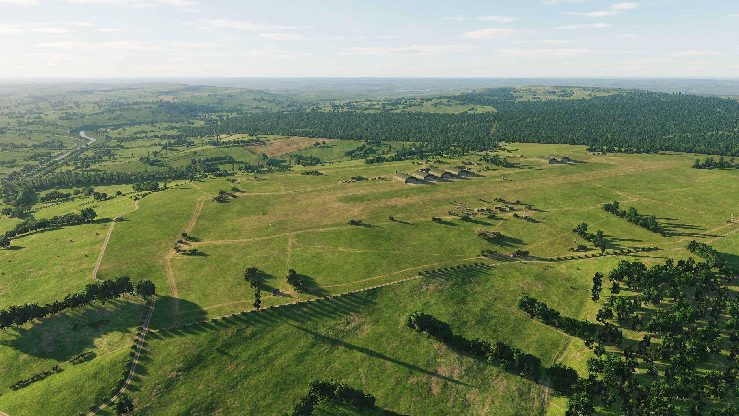
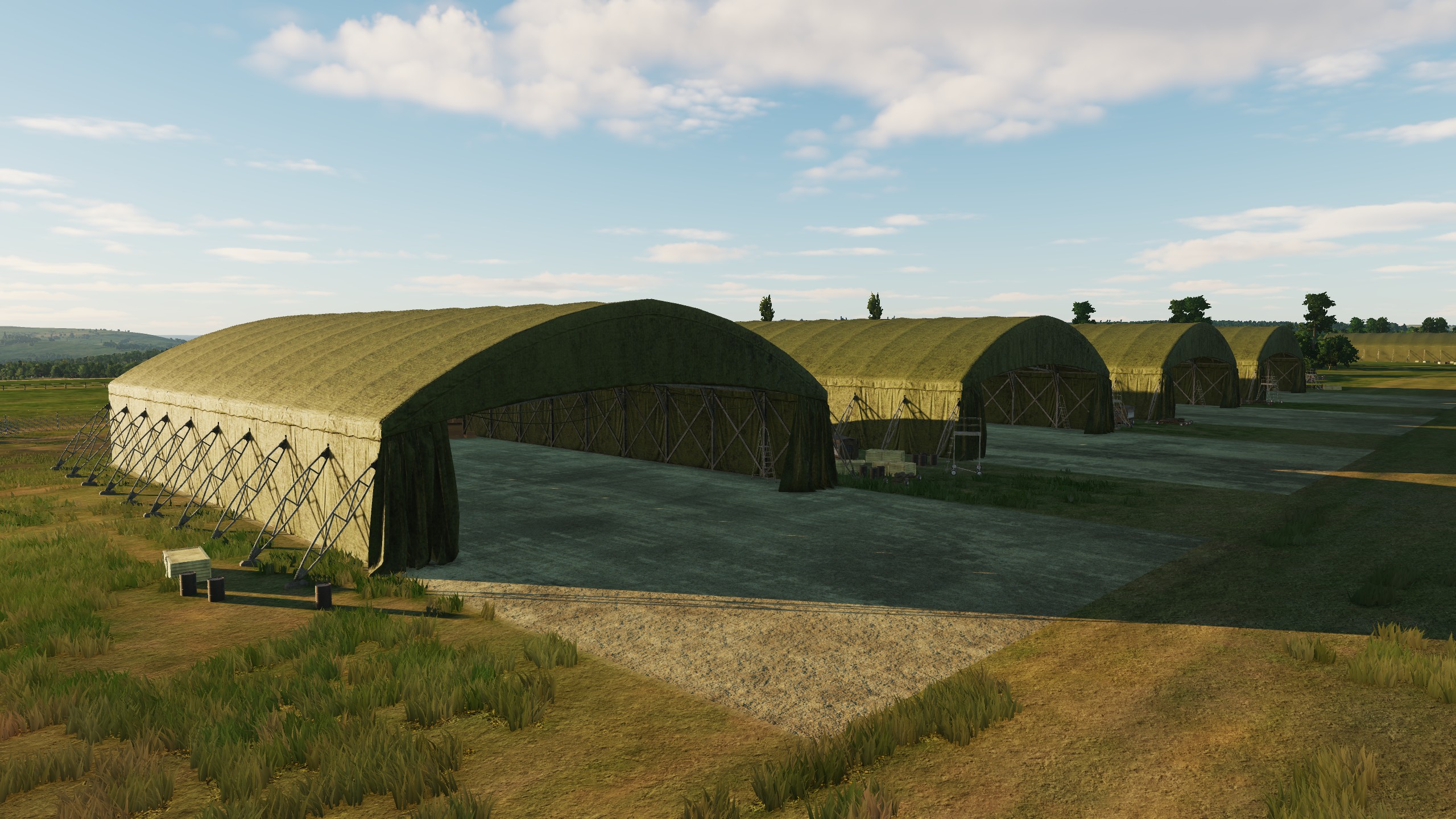
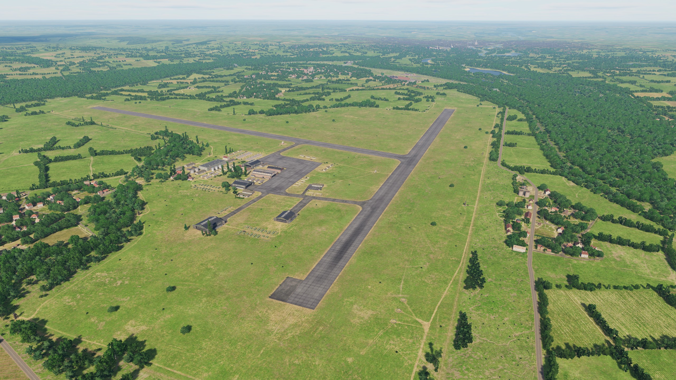
Bonjour! Aérodromes en France. When we were just thinking about expanding the map detail zone, we understood that France was not an easy path - it was a large territory with an active history at the time of 1944. Where yesterday there was a field, today there is an airfield, and after a short time it is in trenches. Since the start of development, we have increased the number of airfields in France. Added historically significant airfields, intermediate airfields, so that you can easily visit each place on the map. And also added airfields, which you asked about here on the forum and threw off additional information, for which special thanks. OK, here we go! Beauvais-Tille Carpicuet Cormeilles-en-Vexin Cricqueville-en-Bessin Fecamp_Benouville Lonrai Orly
- 377 replies
-
- 24
-
-
-
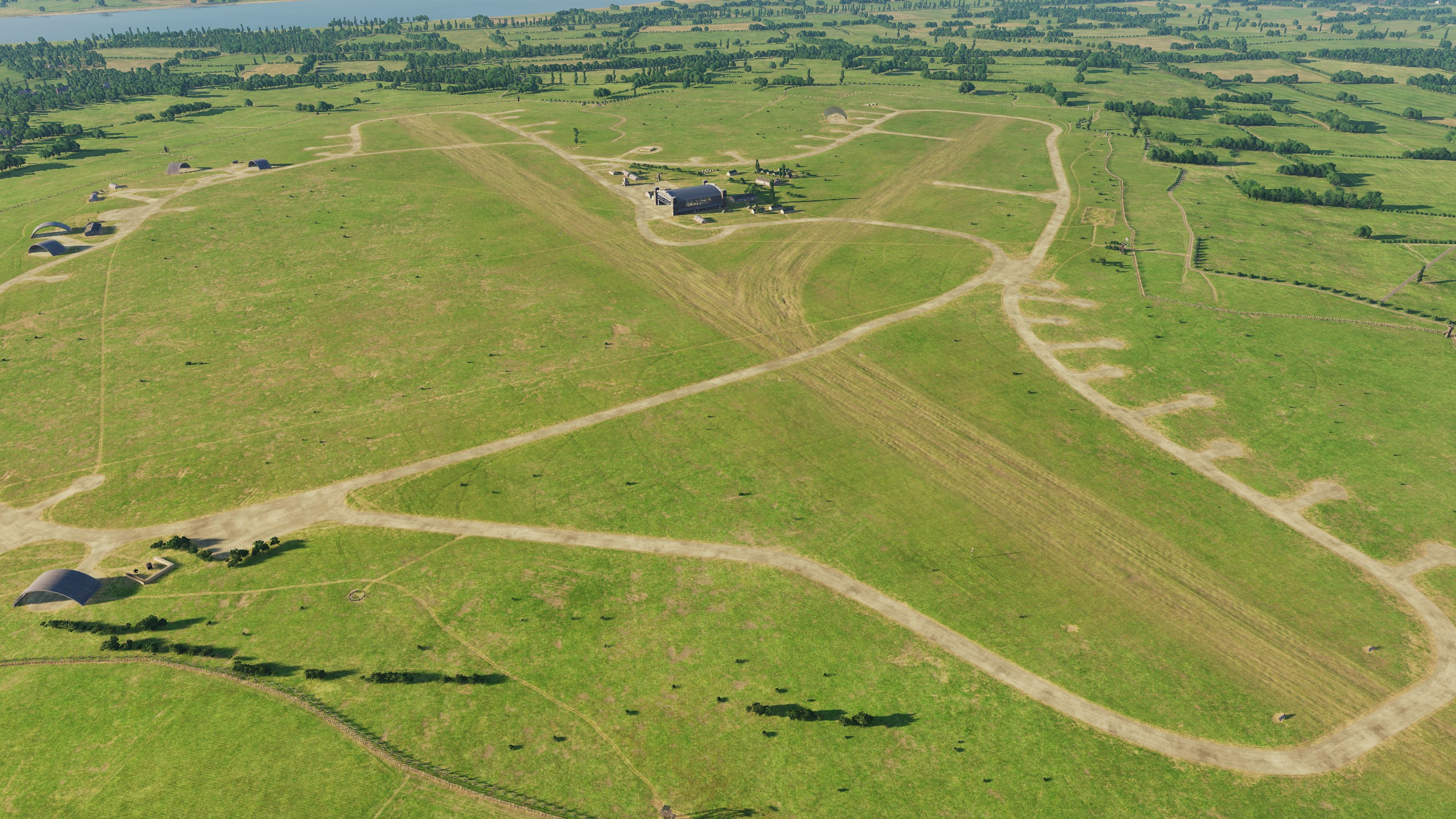
UPD What airfields are there in Normandy 2.0 Airfields in France A1 Saint Pierre du Mont A2 Cricqueville-en-Bessin B17 Carpiquet A12 Lignerolles A14 Cretteville A15 Maupertus A16 Brucheville A20 Lessay - оригинальны A3 Cardonville A4 Deux Jumeaux A5 Chippelle A7 Azeville B9 Lantheuil A17 Meautis A21 Sainte-Laurent-sur-Mer A24 Biniville A6 Beuzeville A8 Picauville A9 Le Molay B11 Longues-sur-Mer B2 Bazenville B3 Sainte-Croix-sur-Mer B4 Beny-sur-Mer B7 Rucqueville B8 Sommervieu Beauvais-Tille Cormeilles-en-Vexin Dinan-Trelivan Fecamp_Benouville Evreux Guyancourt Villacoublay Saint-Andre de l Eure Orly Amiens_Glisy Argentan Avranches Le Val-Saint-Pere Barville Conches Creil Deauville Essay Flers Goulet Hauterive Lonrai Poix Ronai Rouen-Boos Saint-Aubin Triqueville Vrigny Broglie Beaumont-le-Roger Bernay Saint Martin Airfields in UK Chailey Farnborough Ford Funtington Gravesend Heathrow Kenley Needs Oar Point Tangmere West Malling Deanland Friston Lymington Odiham Stoney Cross ---------- screenshots here:
-
Hi Today we will see what airfields we have and how many there are in total, we will take a close look at British airfields and fly over some of them. Airfields in France A1 Saint Pierre du Mont A2 Cricqueville-en-Bessin B17 Carpiquet A12 Lignerolles A14 Cretteville A15 Maupertus A16 Brucheville A20 Lessay - оригинальны A3 Cardonville A4 Deux Jumeaux A5 Chippelle A7 Azeville B9 Lantheuil A17 Meautis A21 Sainte-Laurent-sur-Mer A24 Biniville A6 Beuzeville A8 Picauville A9 Le Molay B11 Longues-sur-Mer B2 Bazenville B3 Sainte-Croix-sur-Mer B4 Beny-sur-Mer B7 Rucqueville B8 Sommervieu Beauvais-Tille Cormeilles-en-Vexin Dinan-Trelivan Fecamp_Benouville Evreux Guyancourt Villacoublay Saint-Andre de l Eure Orly Amiens_Glisy Argentan Avranches Le Val-Saint-Pere Barville Conches Creil Deauville Essay Flers Goulet Hauterive Lonrai Poix Ronai Rouen-Boos Saint-Aubin Triqueville Vrigny Broglie Beaumont-le-Roger Bernay Saint Martin Airfields in UK Chailey Farnborough Ford Funtington Gravesend Heathrow Kenley Needs Oar Point Tangmere West Malling Deanland Friston Lymington Odiham Stoney Cross Chailey Farnborough Ford Friston Funtington Gravesend Kenley Needs Oar Point Tangmere West Malling
- 377 replies
-
- 32
-
-
-
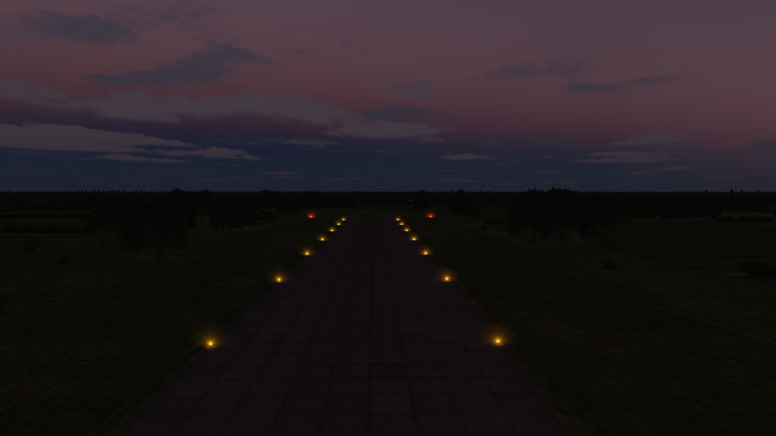
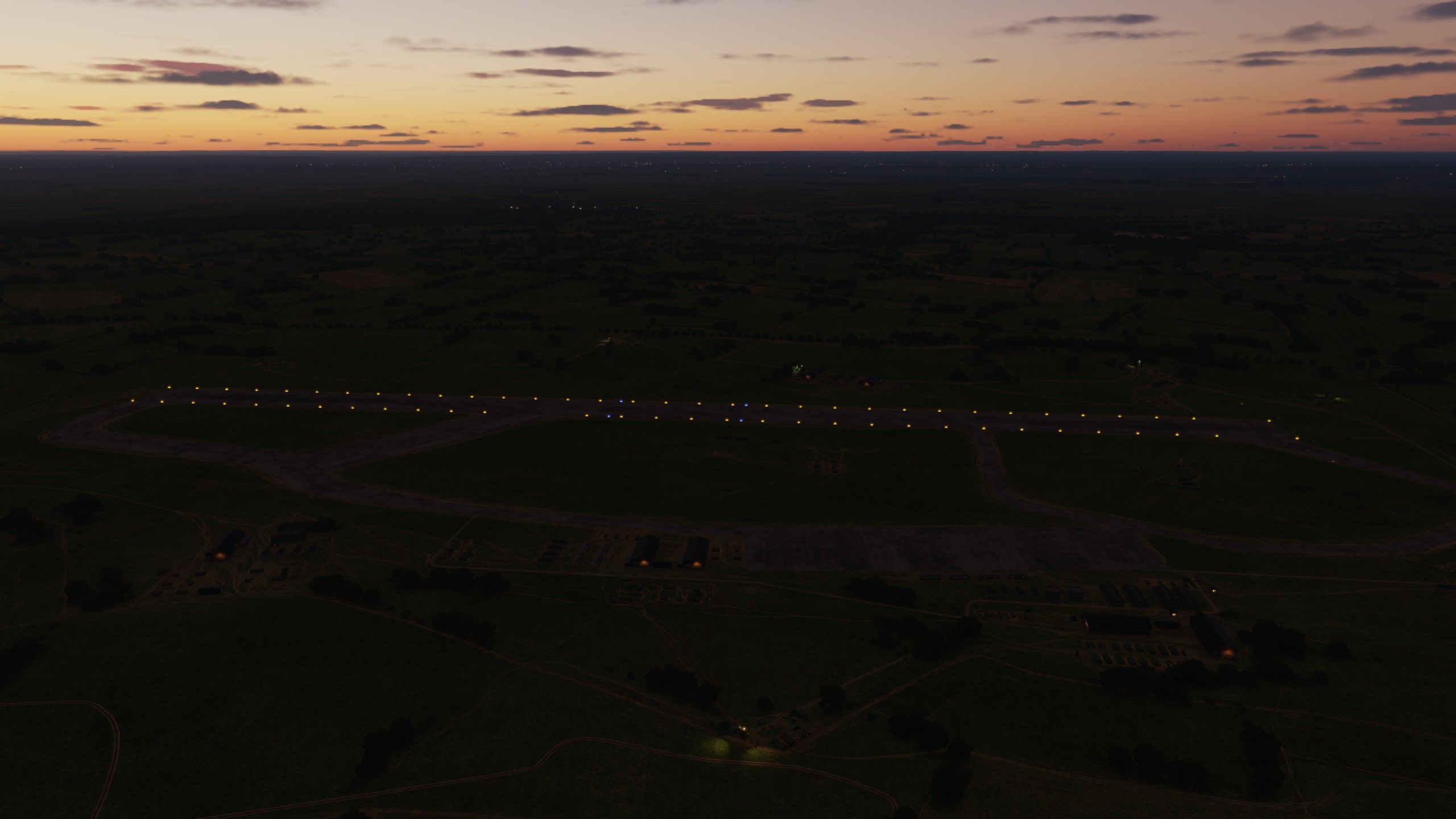
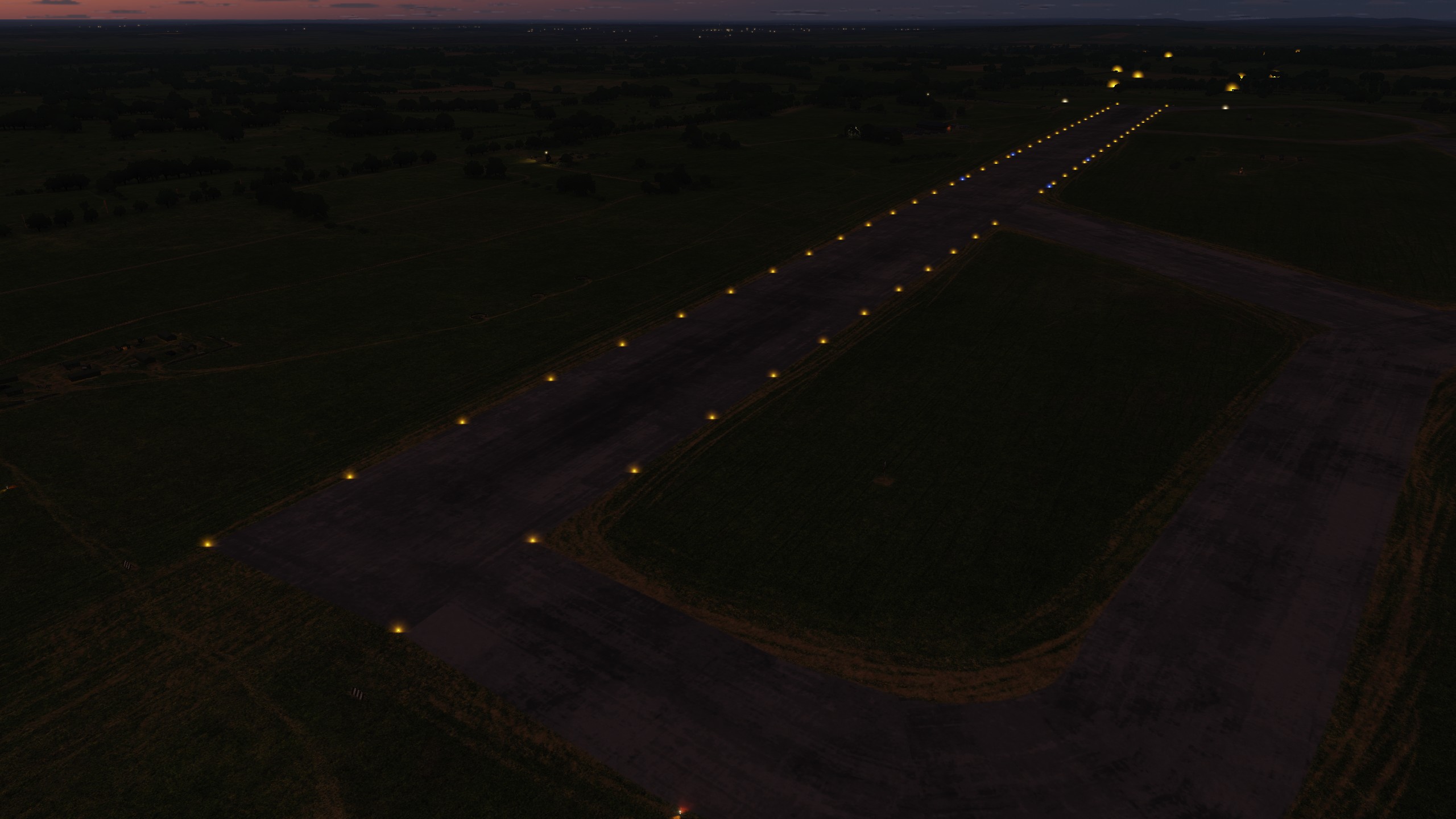
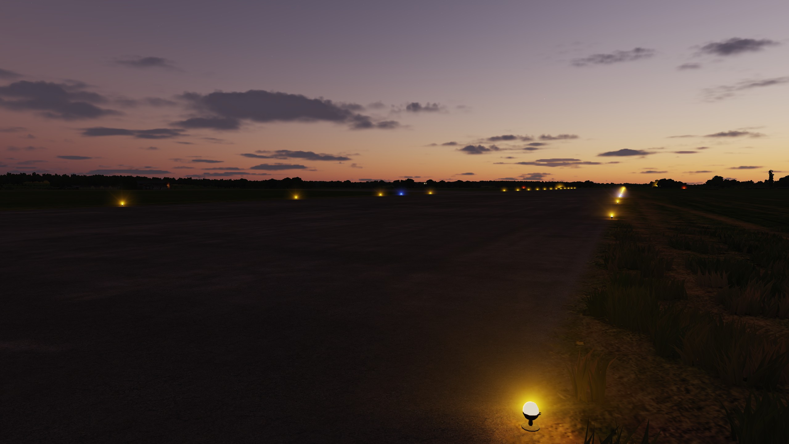
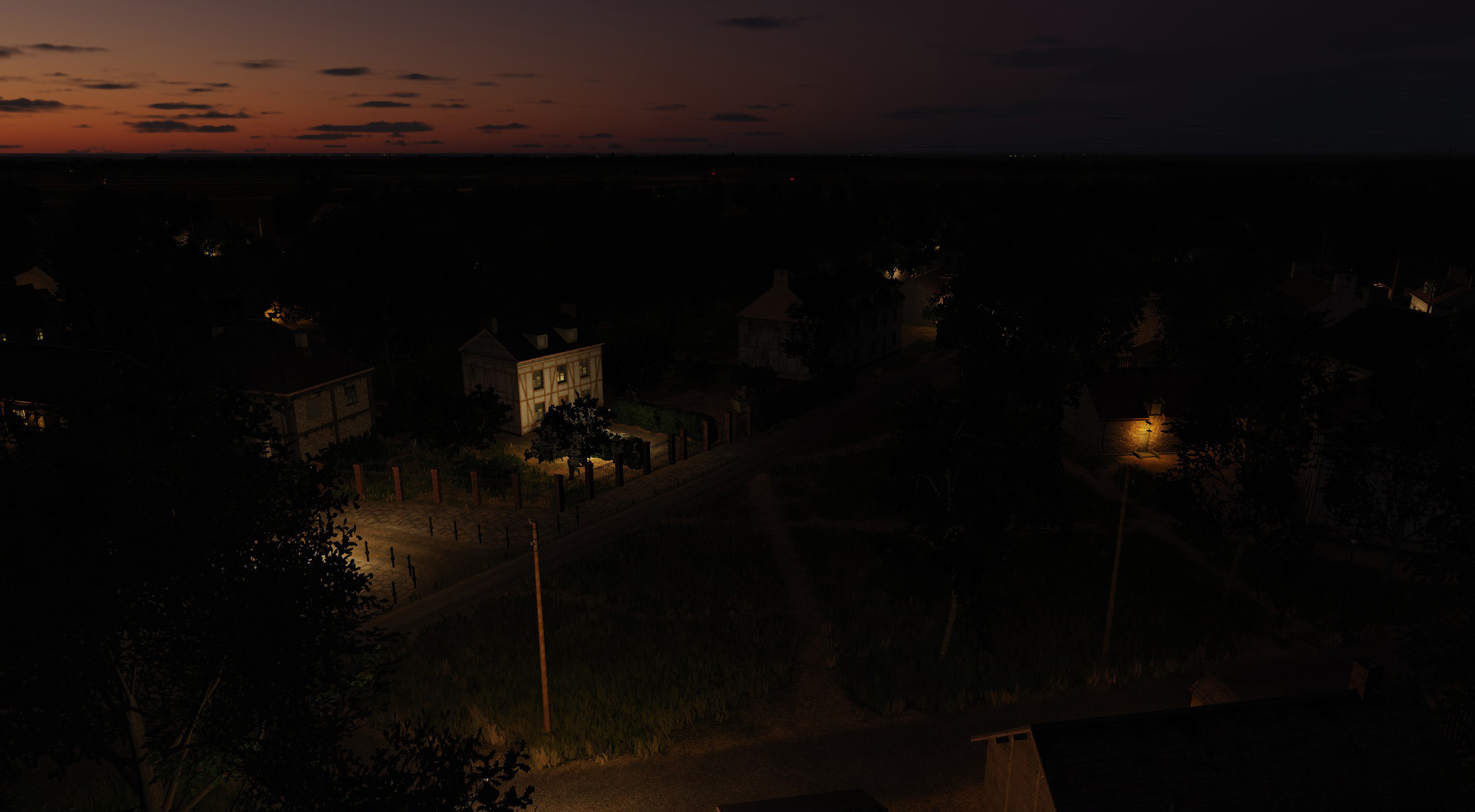
Airmans don't worry We were very careful with the lighting setup, we tried to make the lighting not very intense, not as bright as it is in peacetime. And in the default settings of 1944 the lighting is off, the lighting will appear only if you select 1945. Everyone can choose the lighting mode that he needs.
- 377 replies
-
- 37
-
-
-
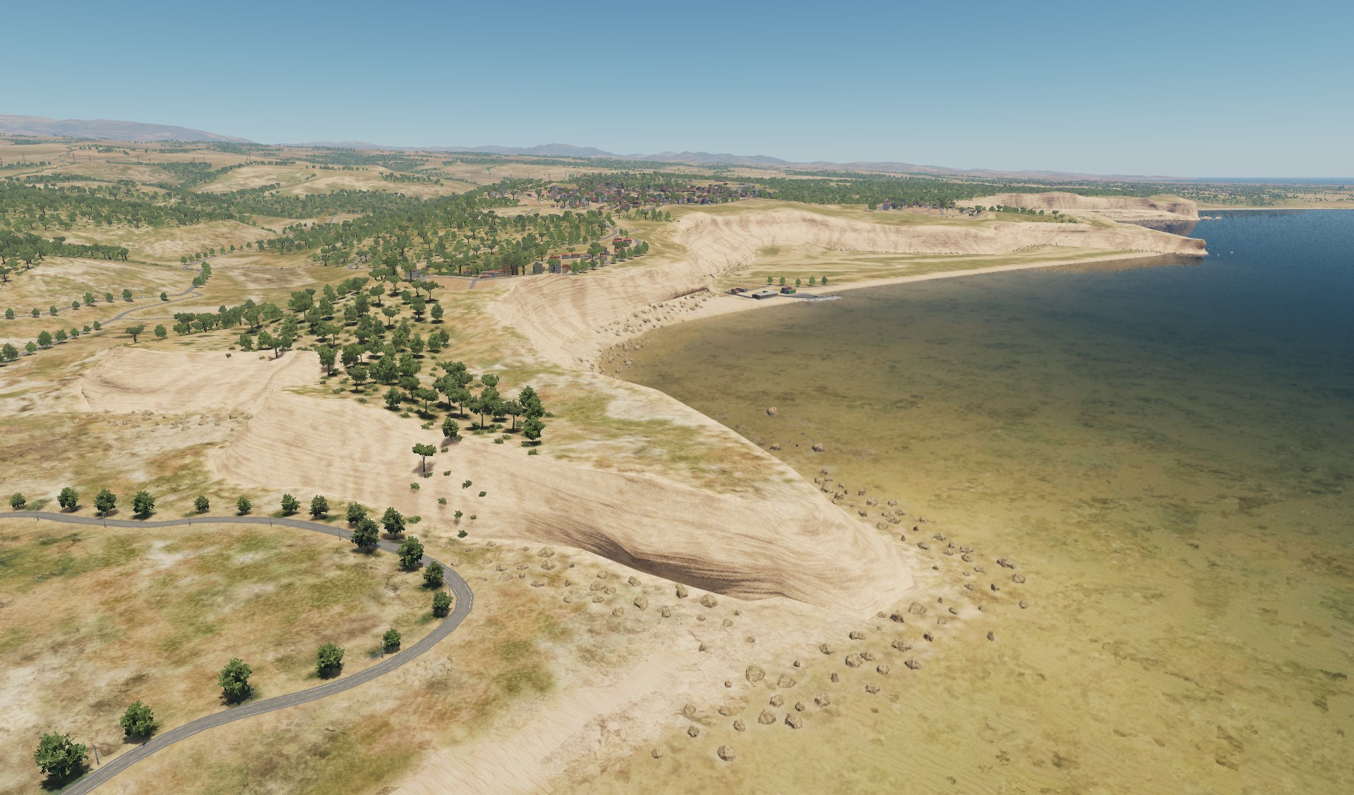
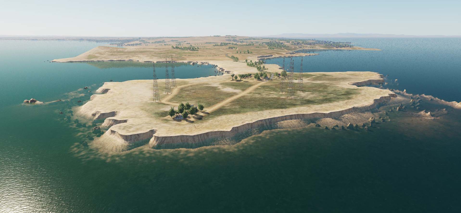
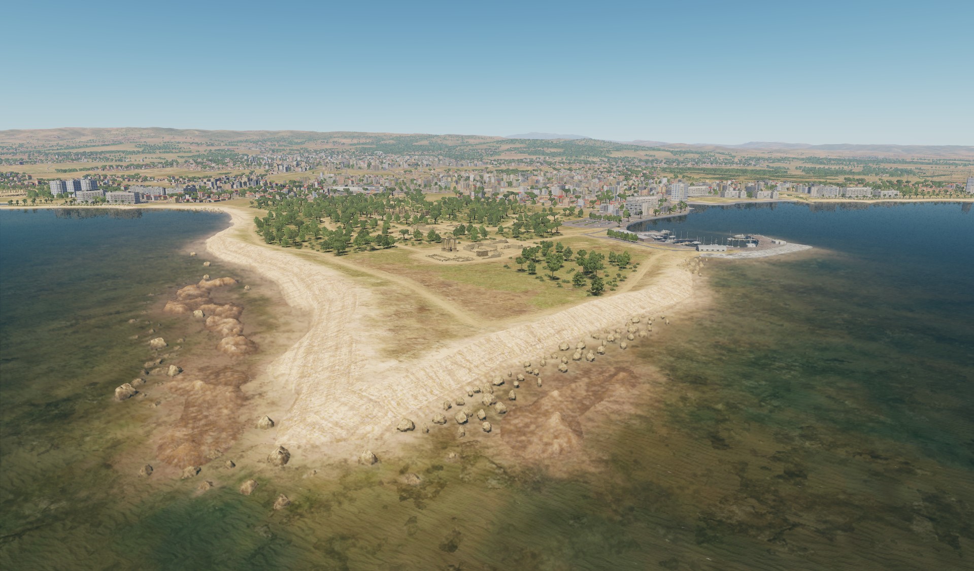
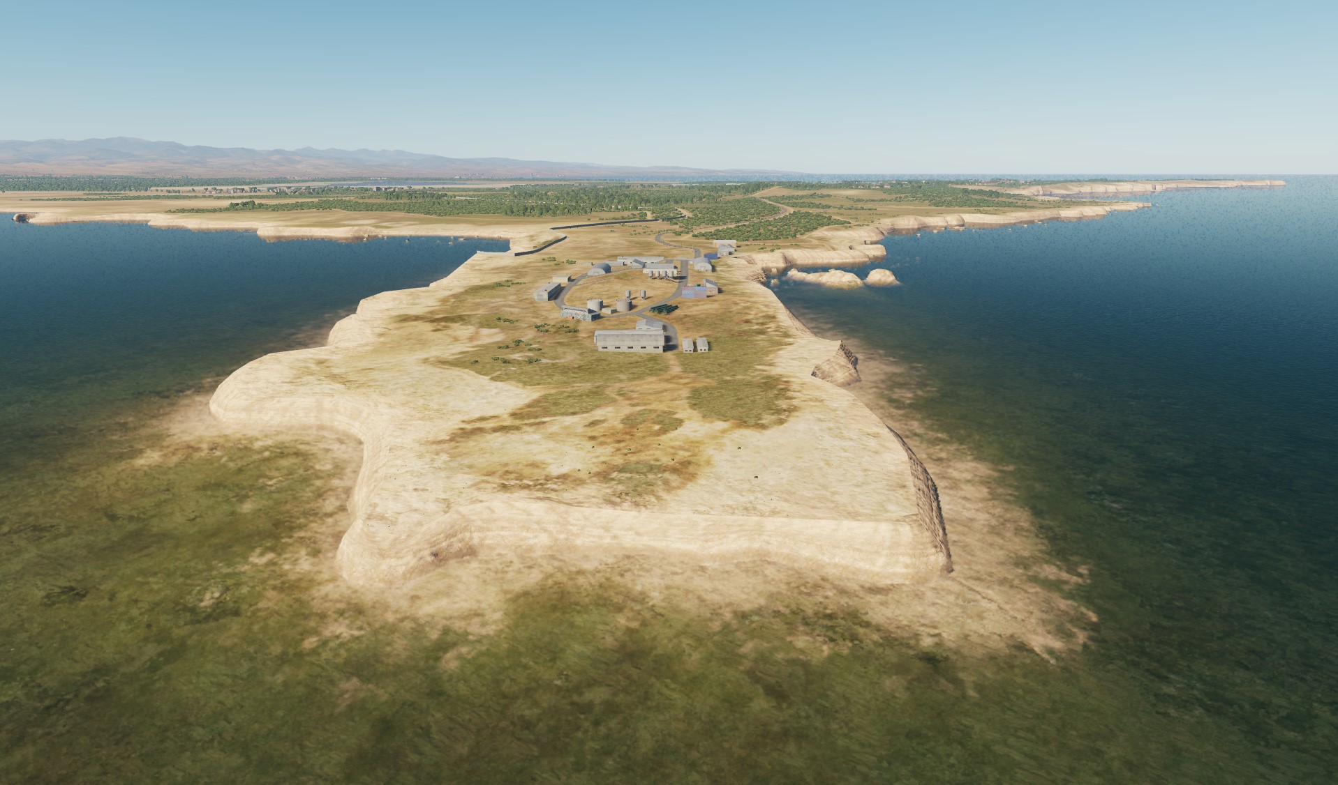
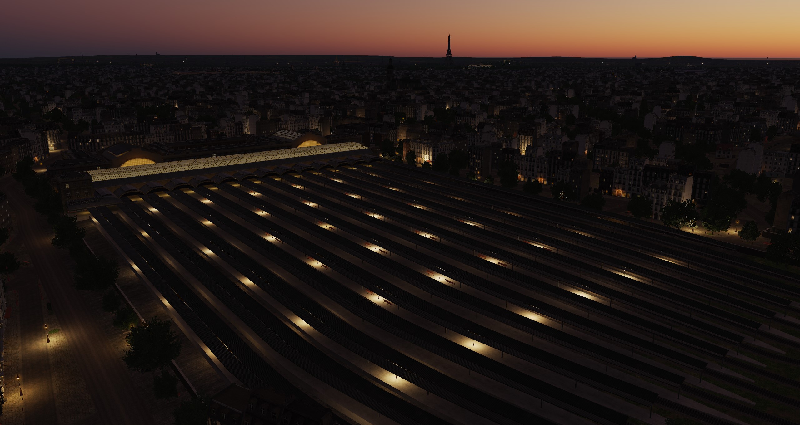
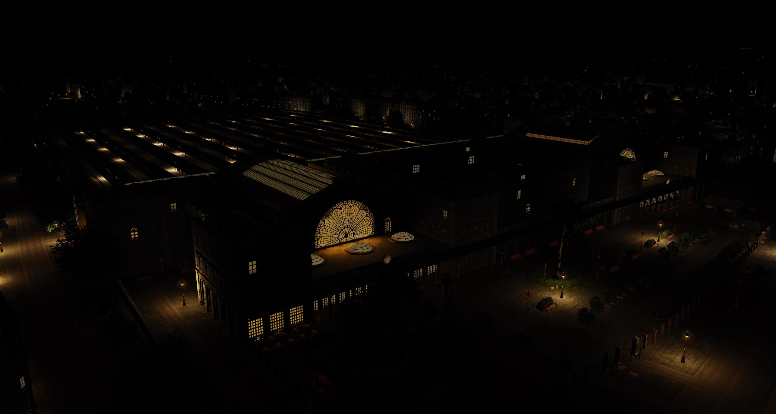
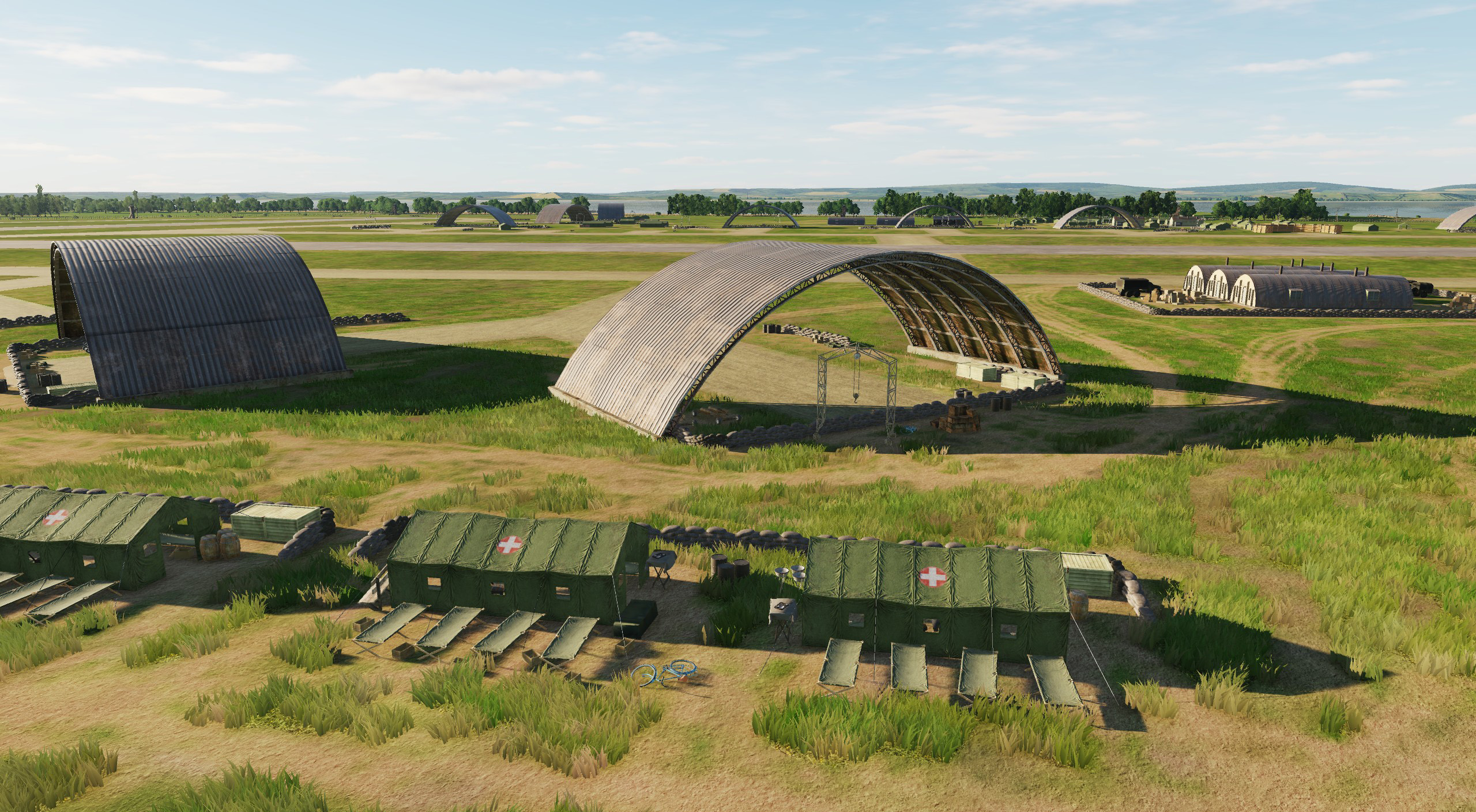
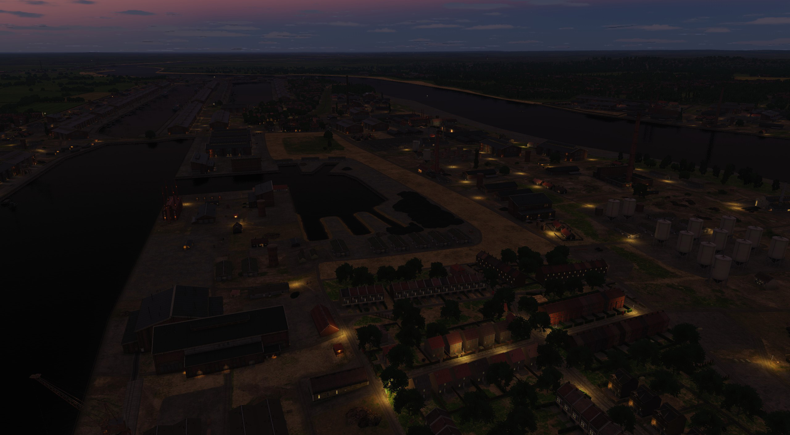
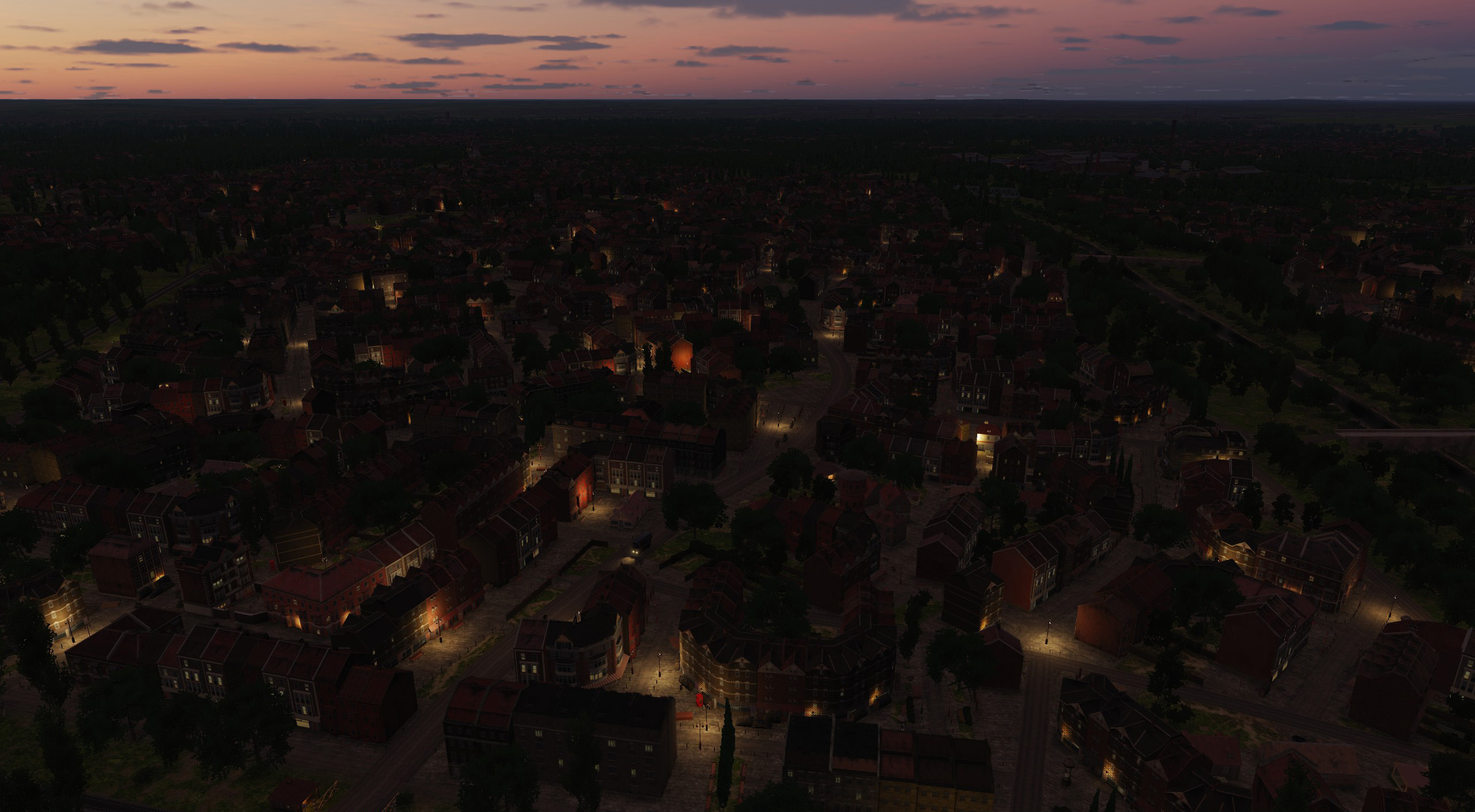
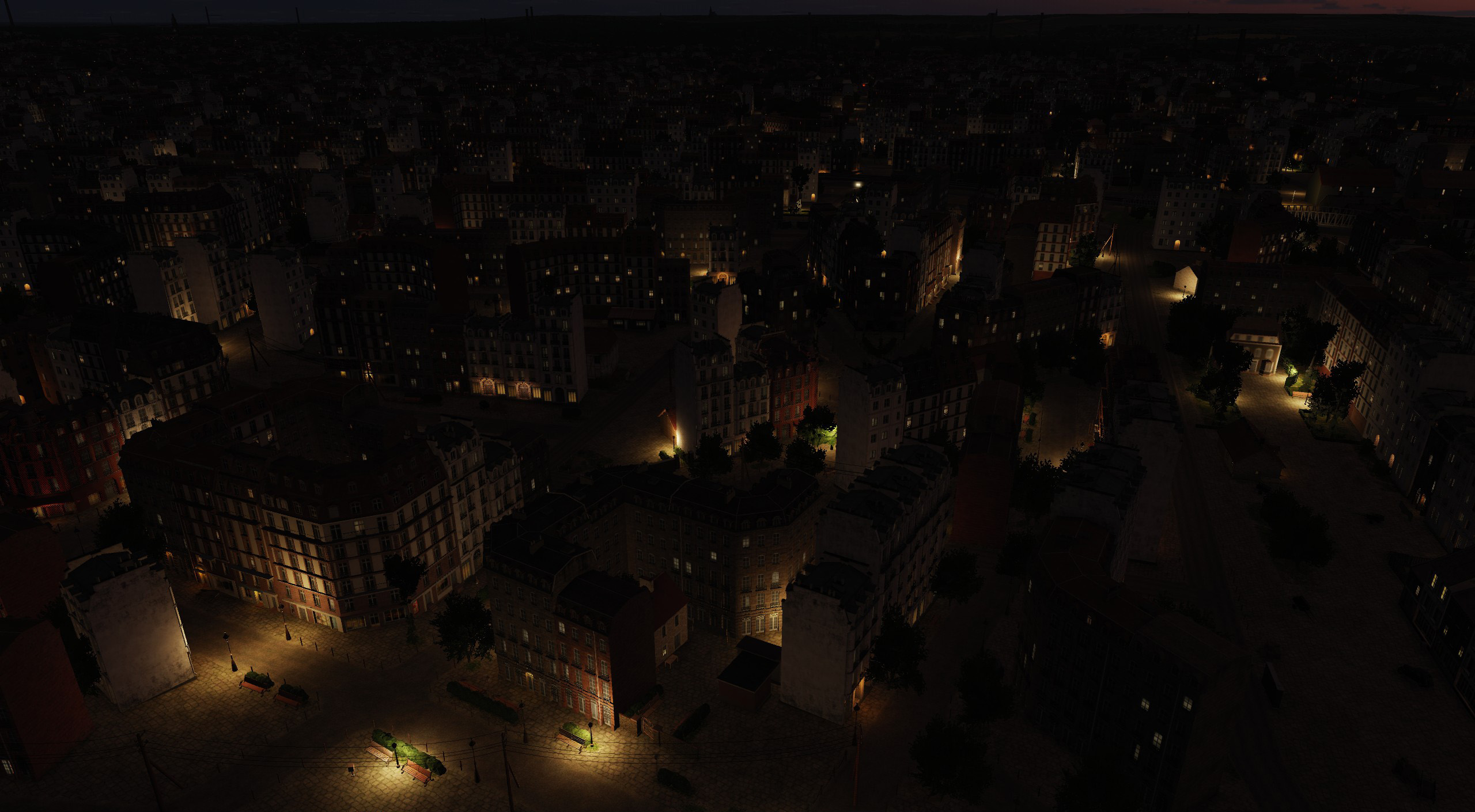
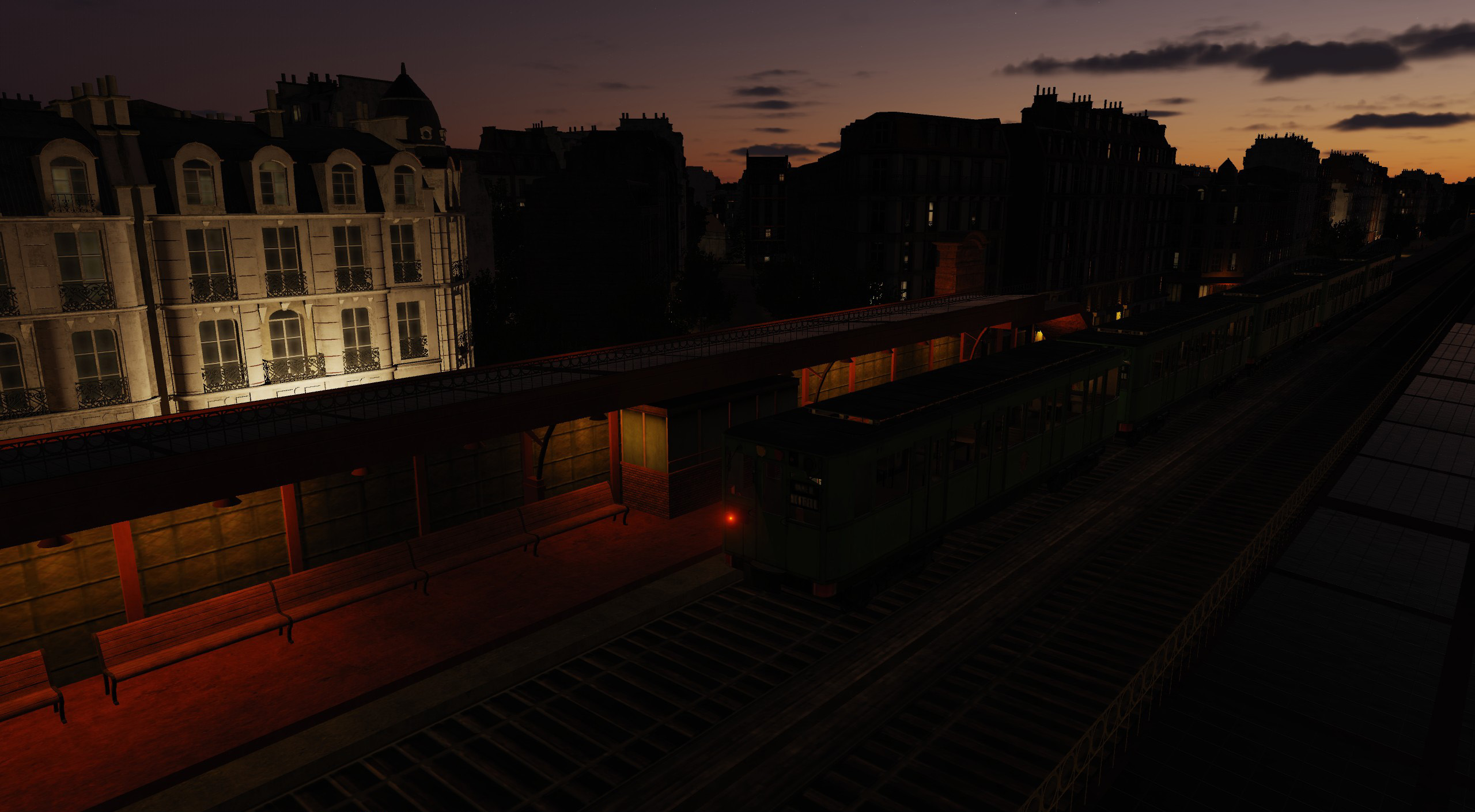
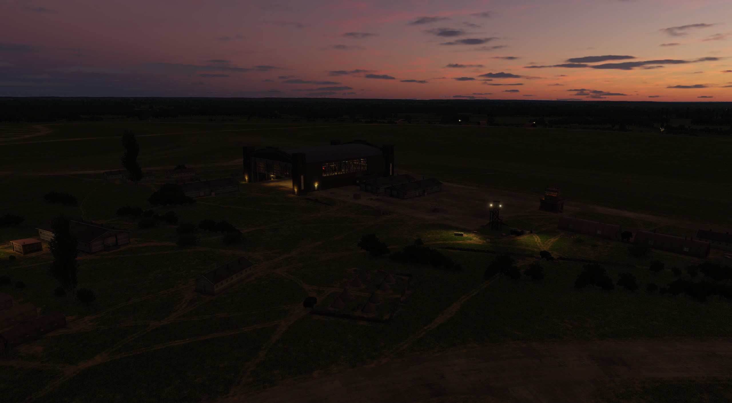
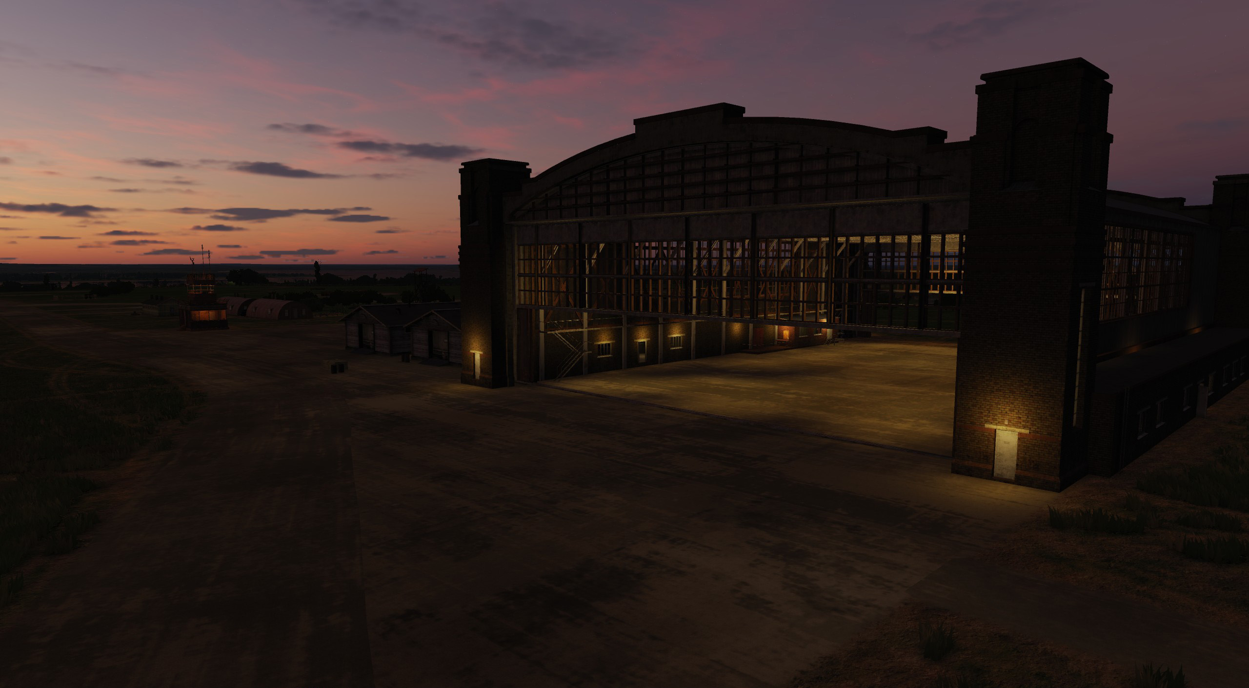
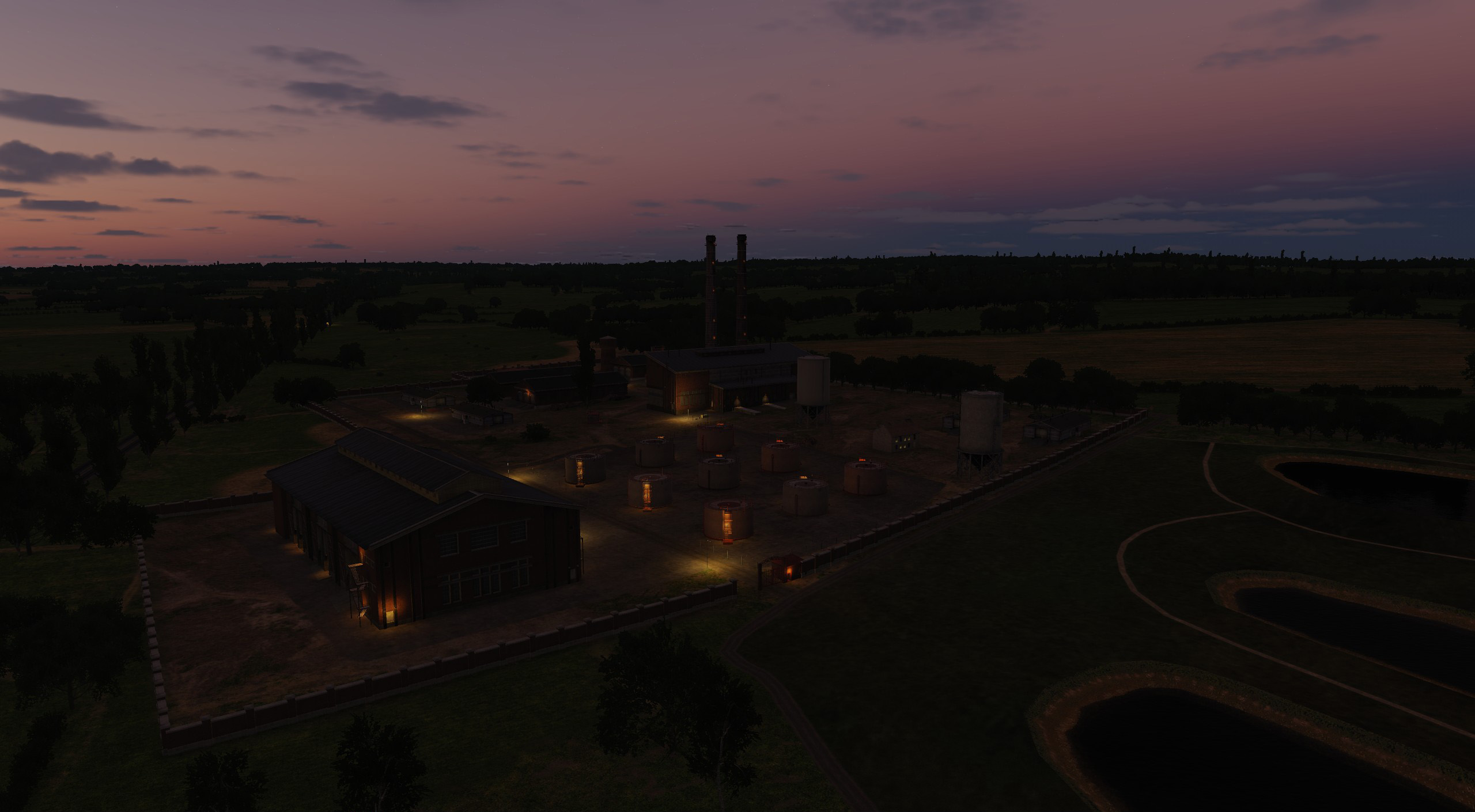
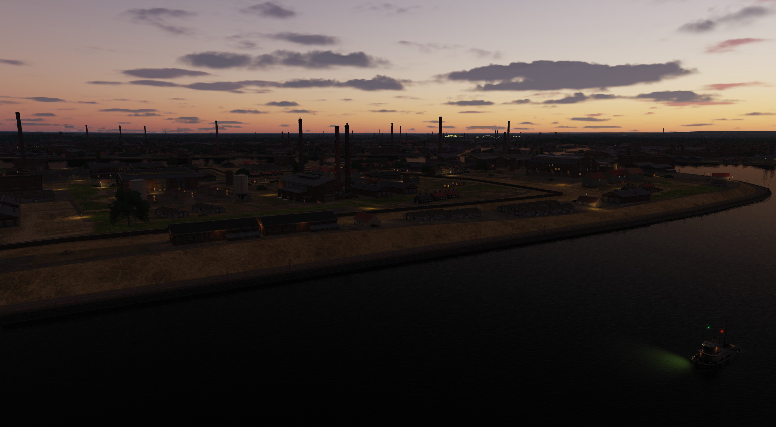
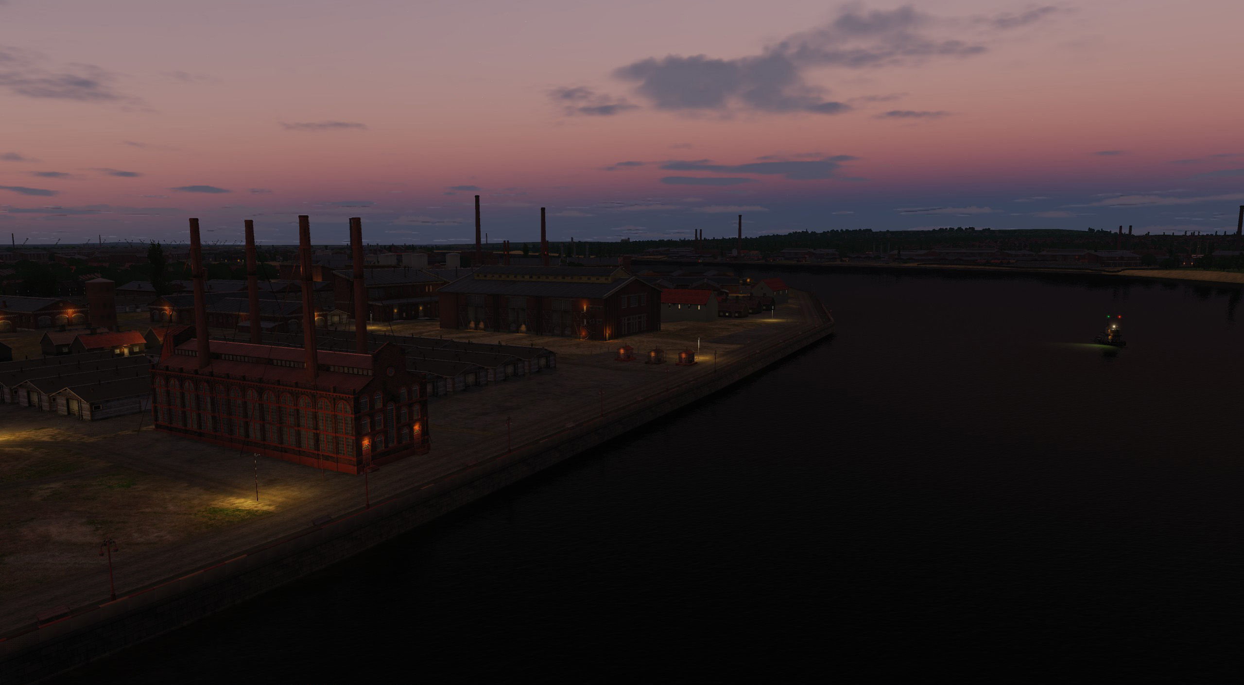
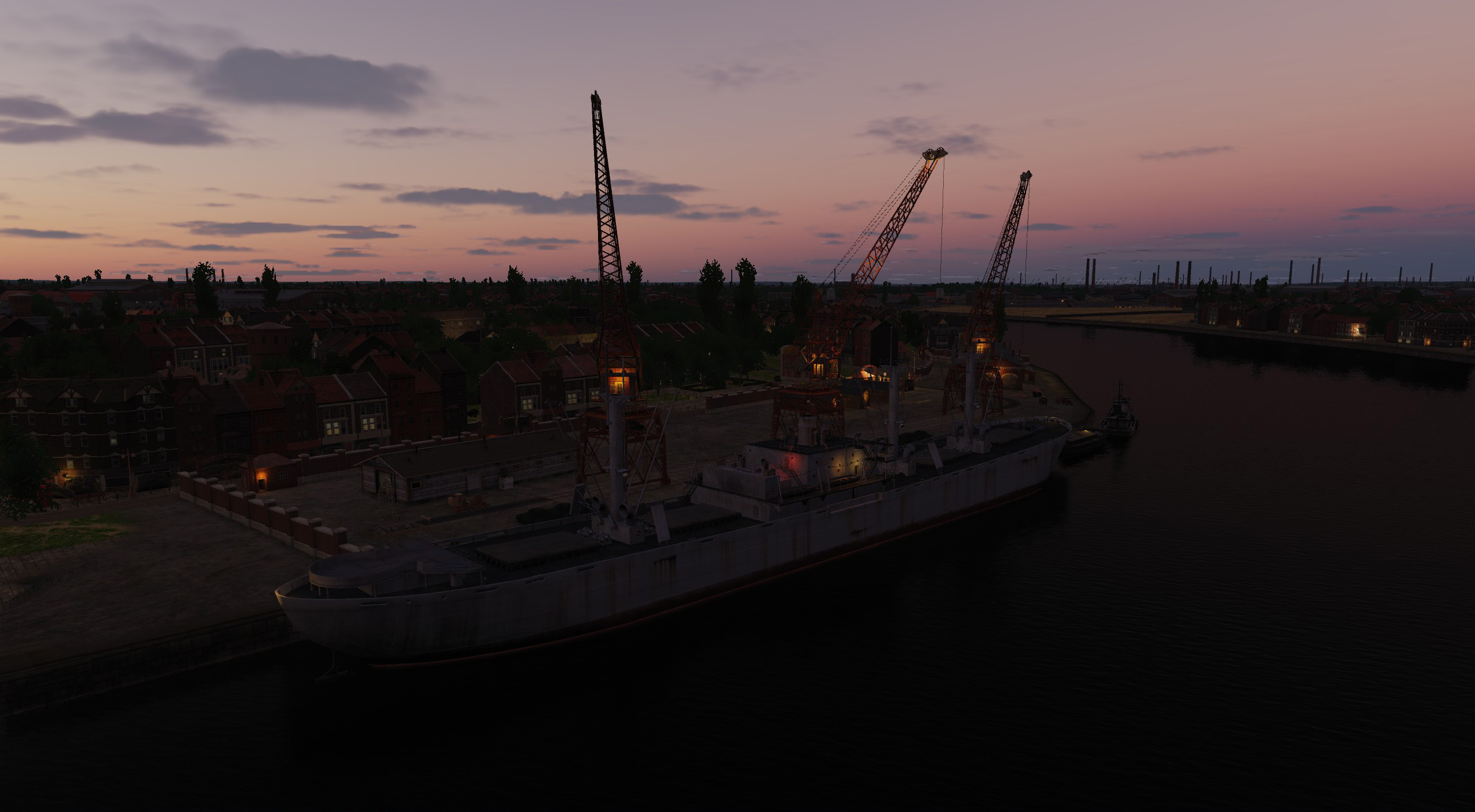
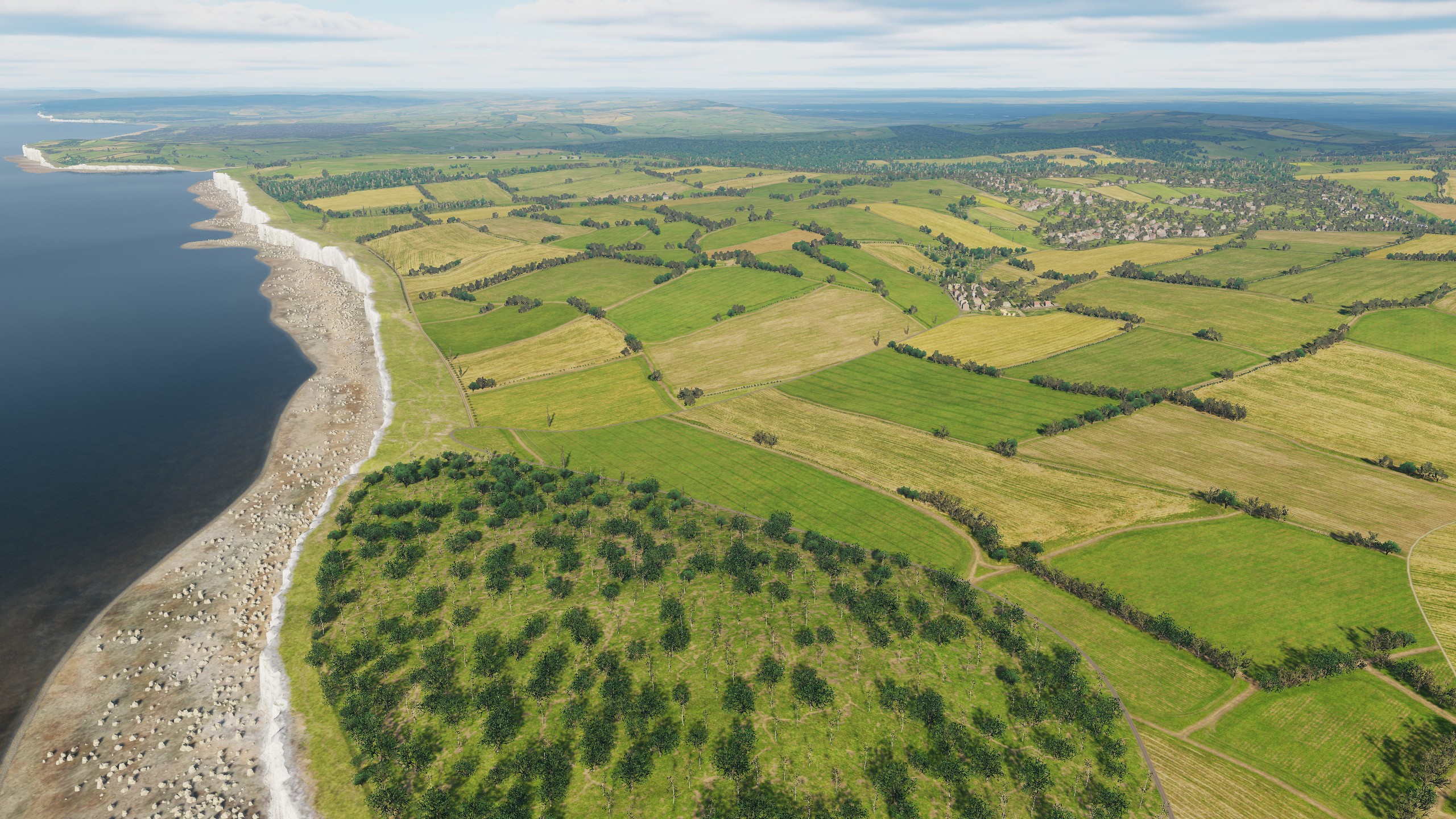
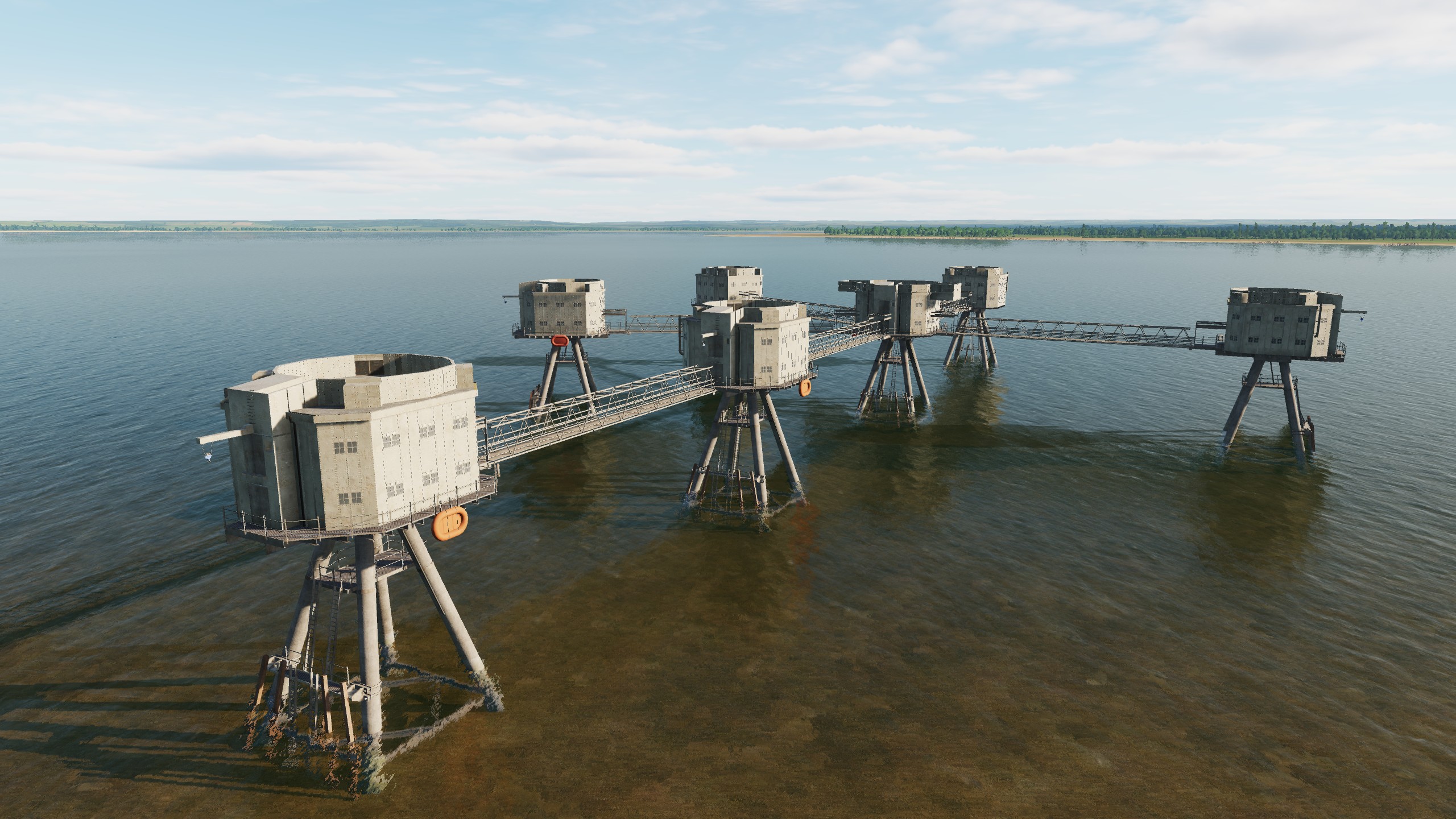
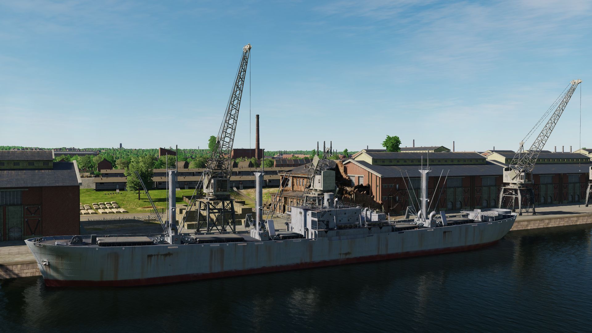
Good evening We are very pleased to announce that the Normandy 2 map will support the new night lighting. The interest of DCS users in this issue is high and today we are publishing images that illustrate the progress of work in this direction, and we hope that this will add a lot of joyful emotions to all users of the Normandy map. UK France Airfield Port
- 377 replies
-
- 36
-
-
-
Hi, fighters We responded to numerous requests from DCS Normandy1944 users and found additional features and resources to ensure that, in addition to summer, seasons of autumn and spring are also available to users on the DCS Normandy 2. And since on the Normandy 2 the textures of fields and trees are made separately for England and separately for France, the user will see the difference between autumn in England and autumn in France. There will also be differences in spring on these different parts of the map. England spring England autumn France spring France autumn
- 377 replies
-
- 33
-
-
-
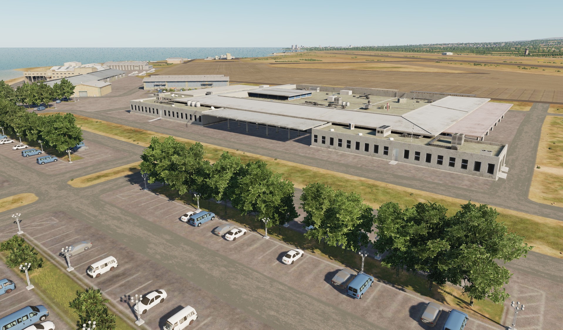
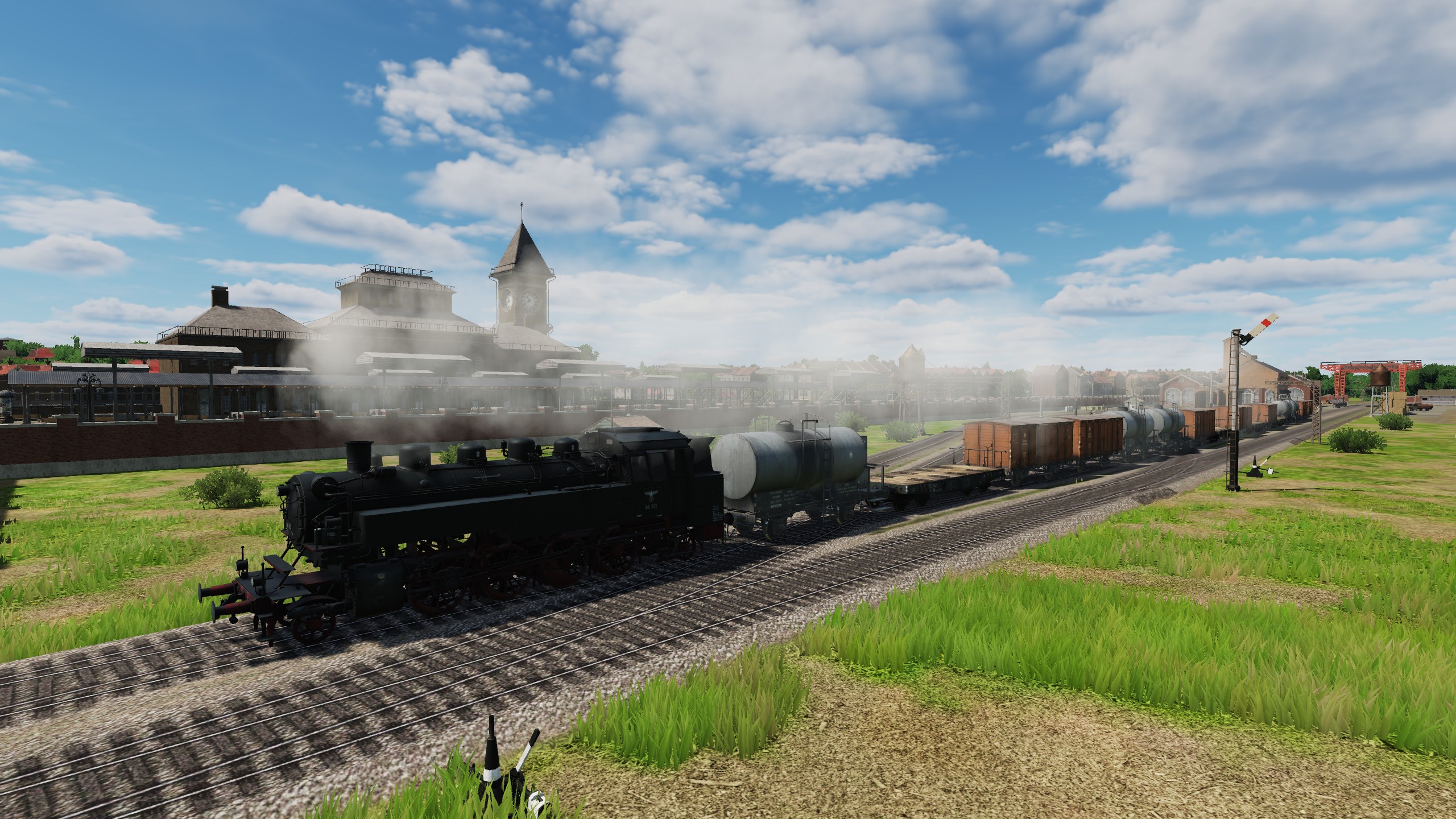
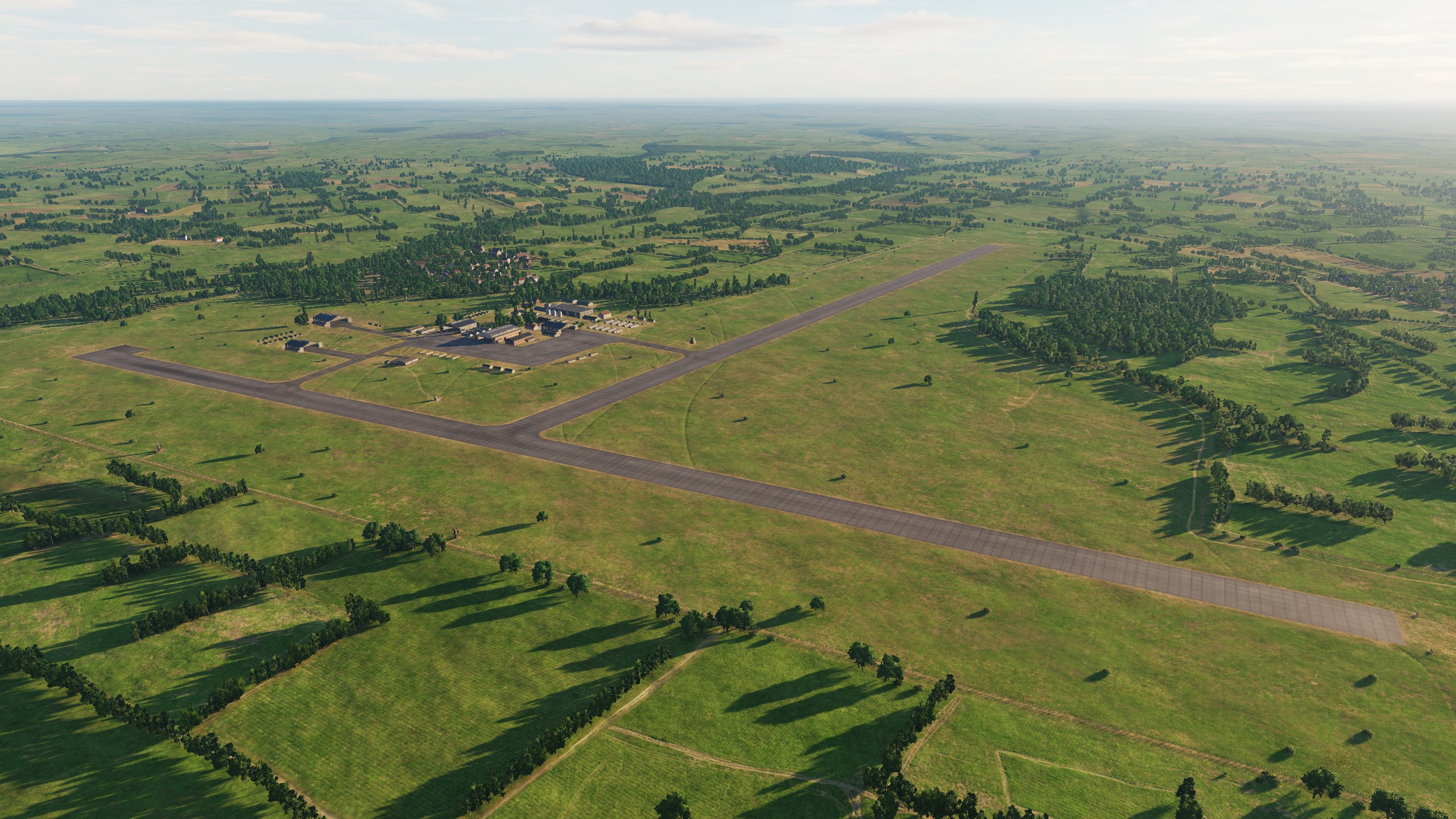
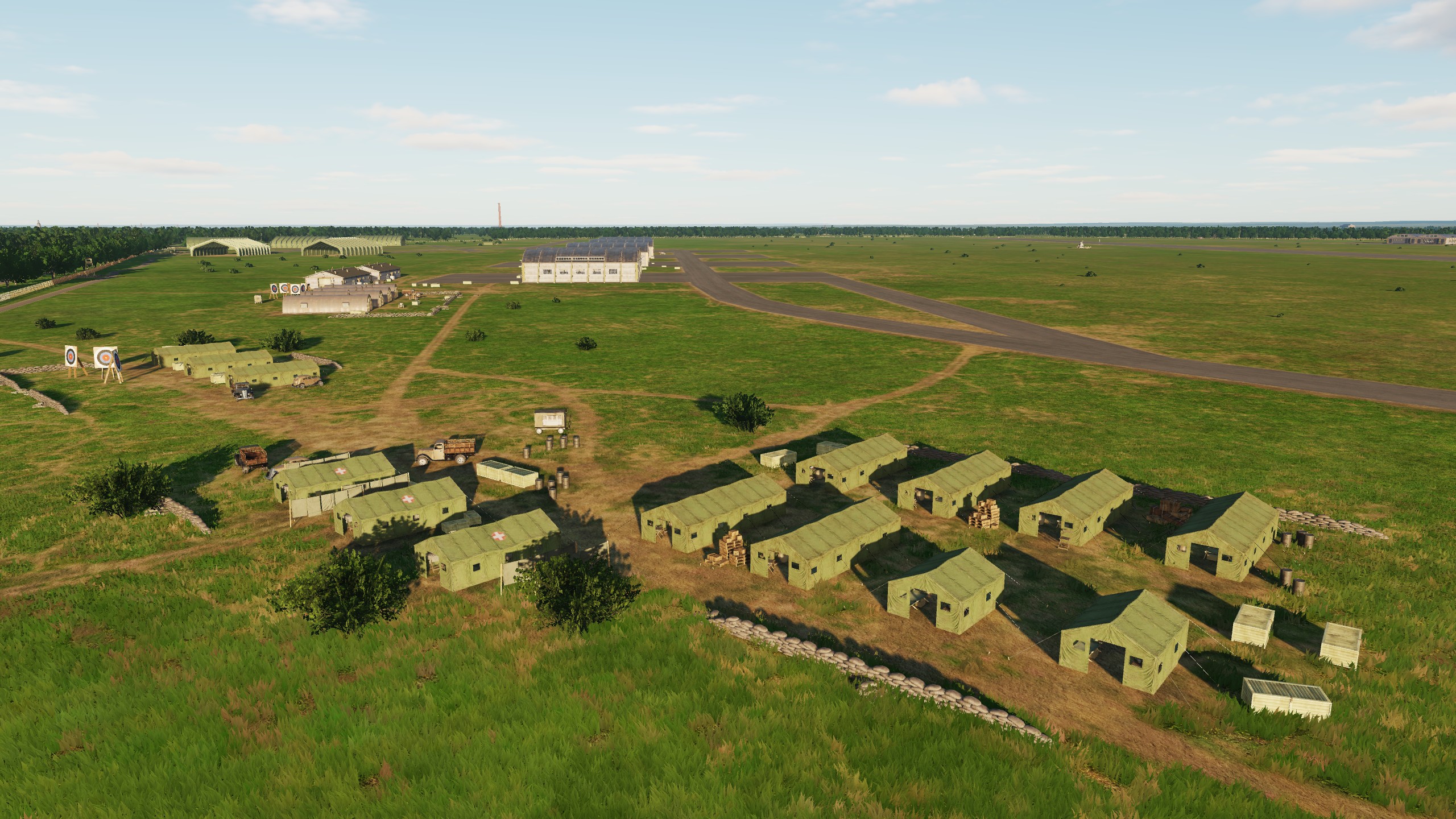
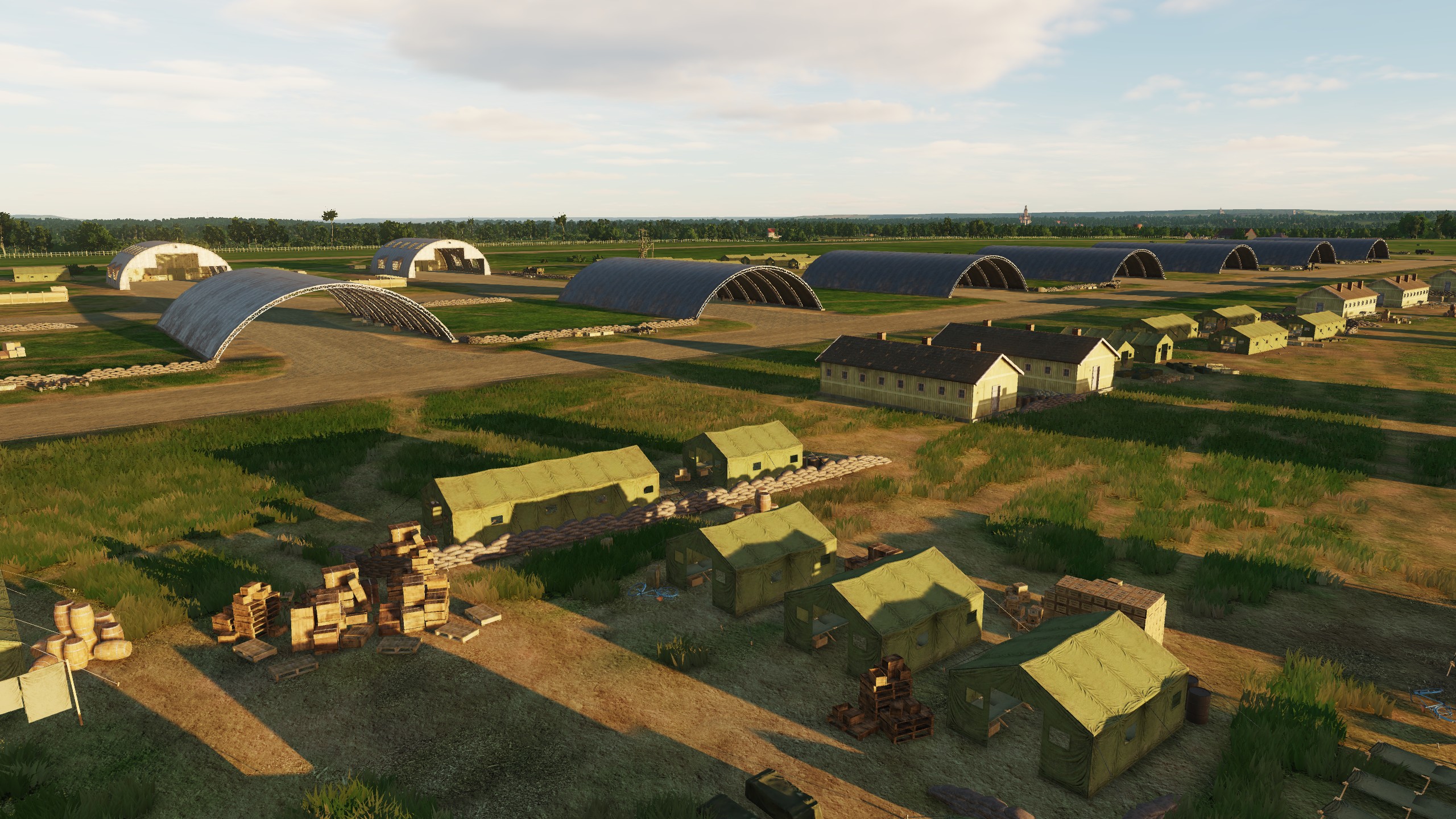
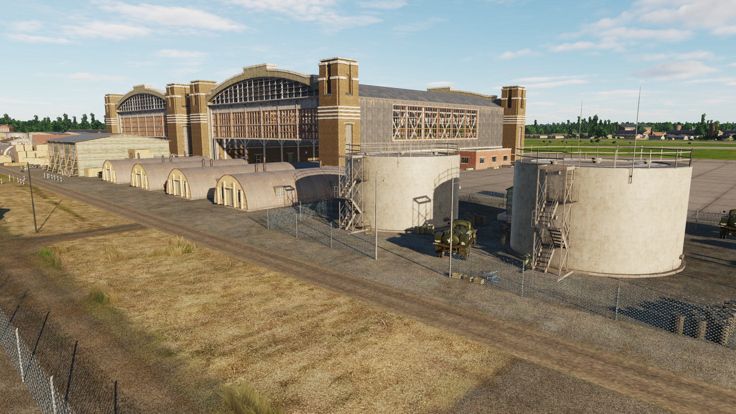
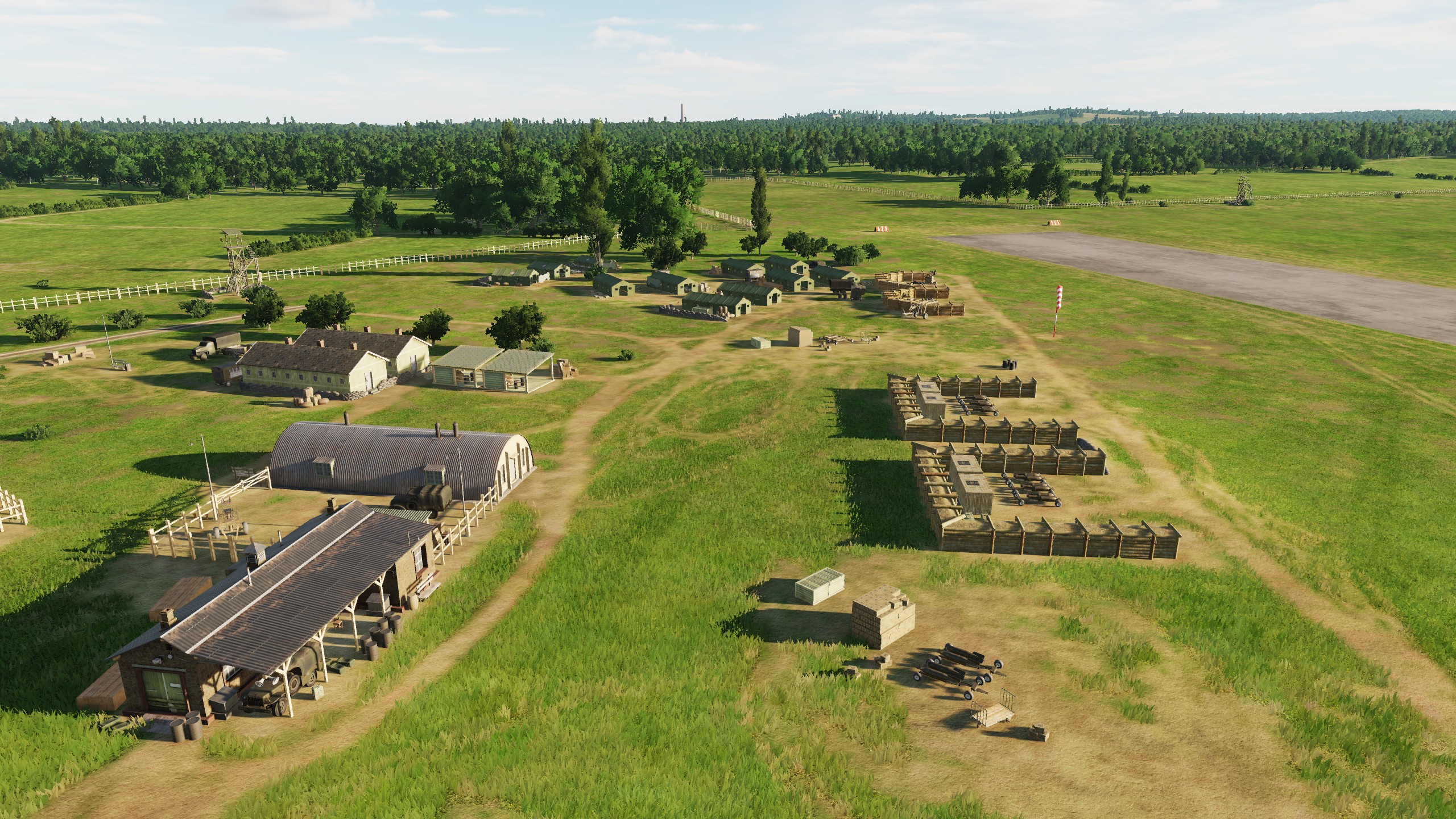
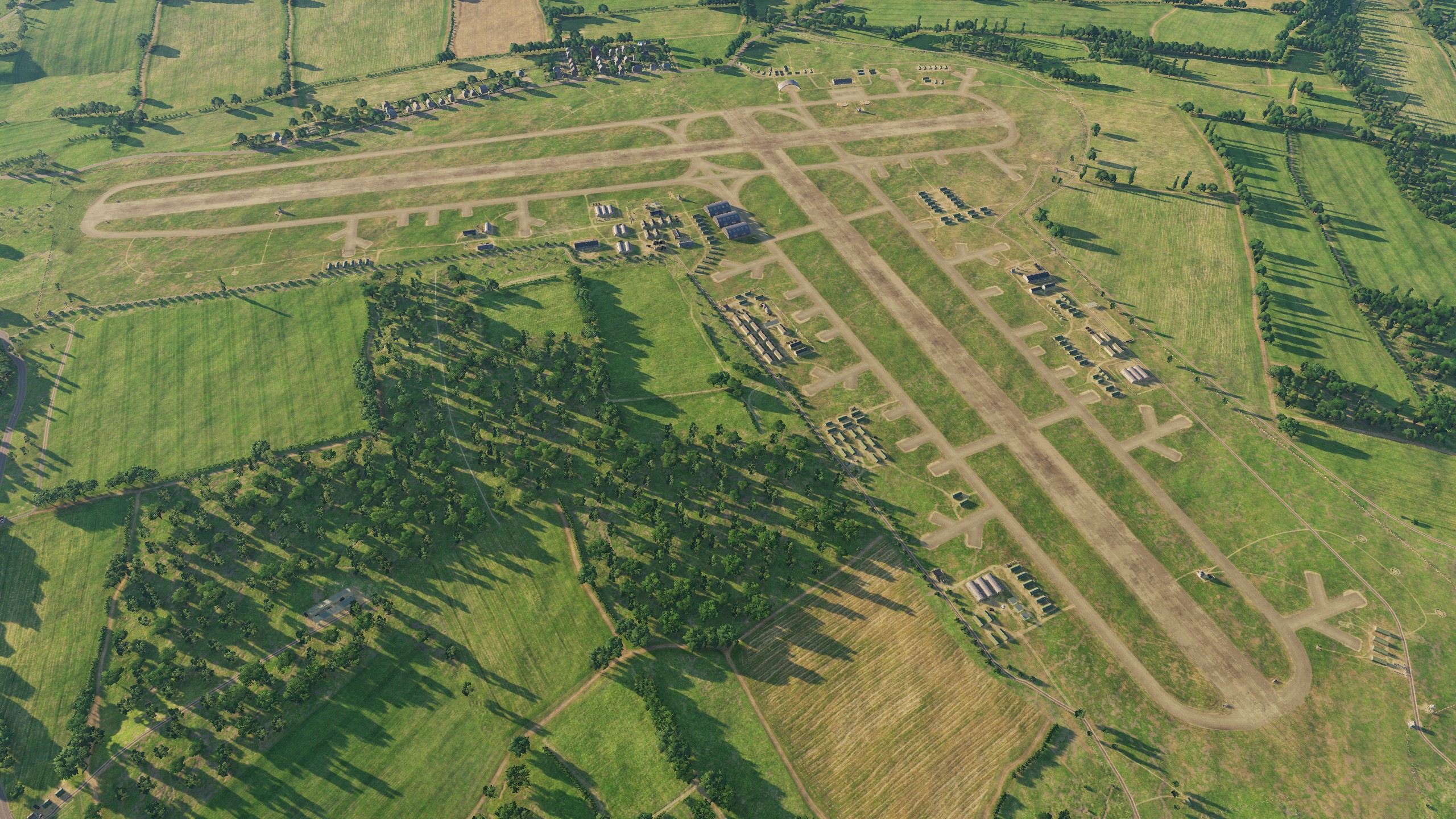
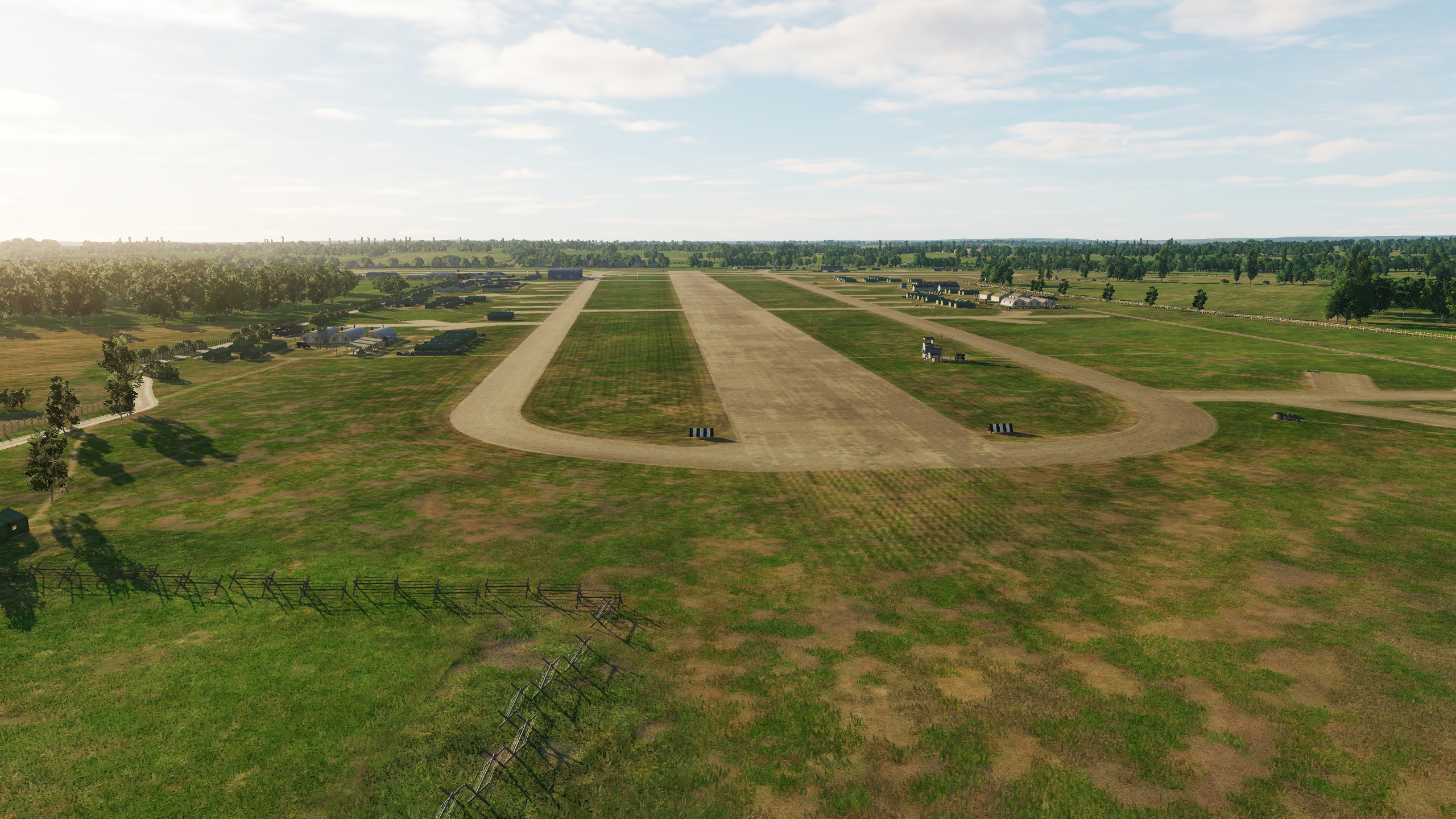
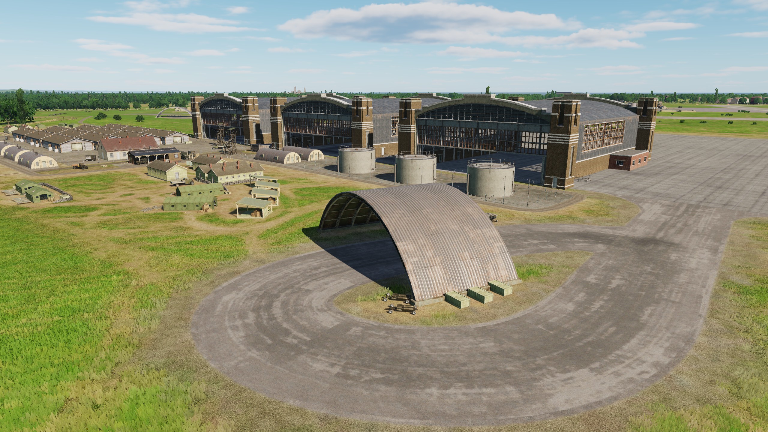
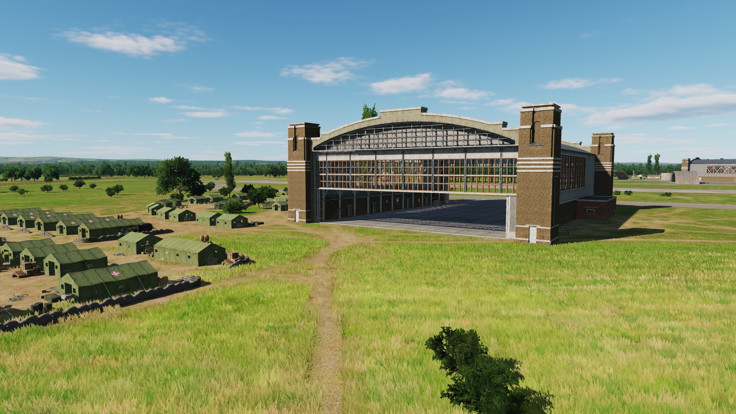
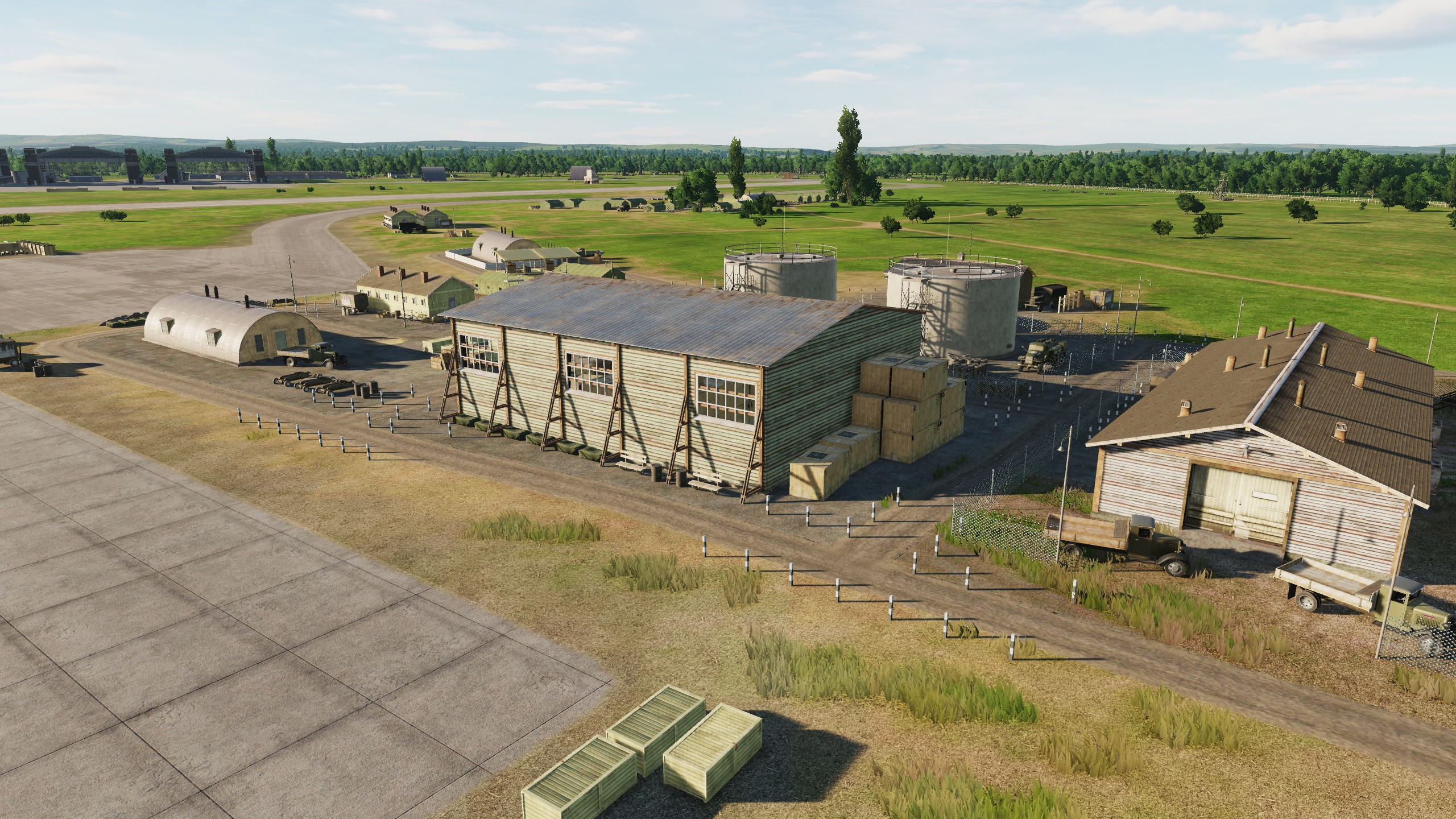
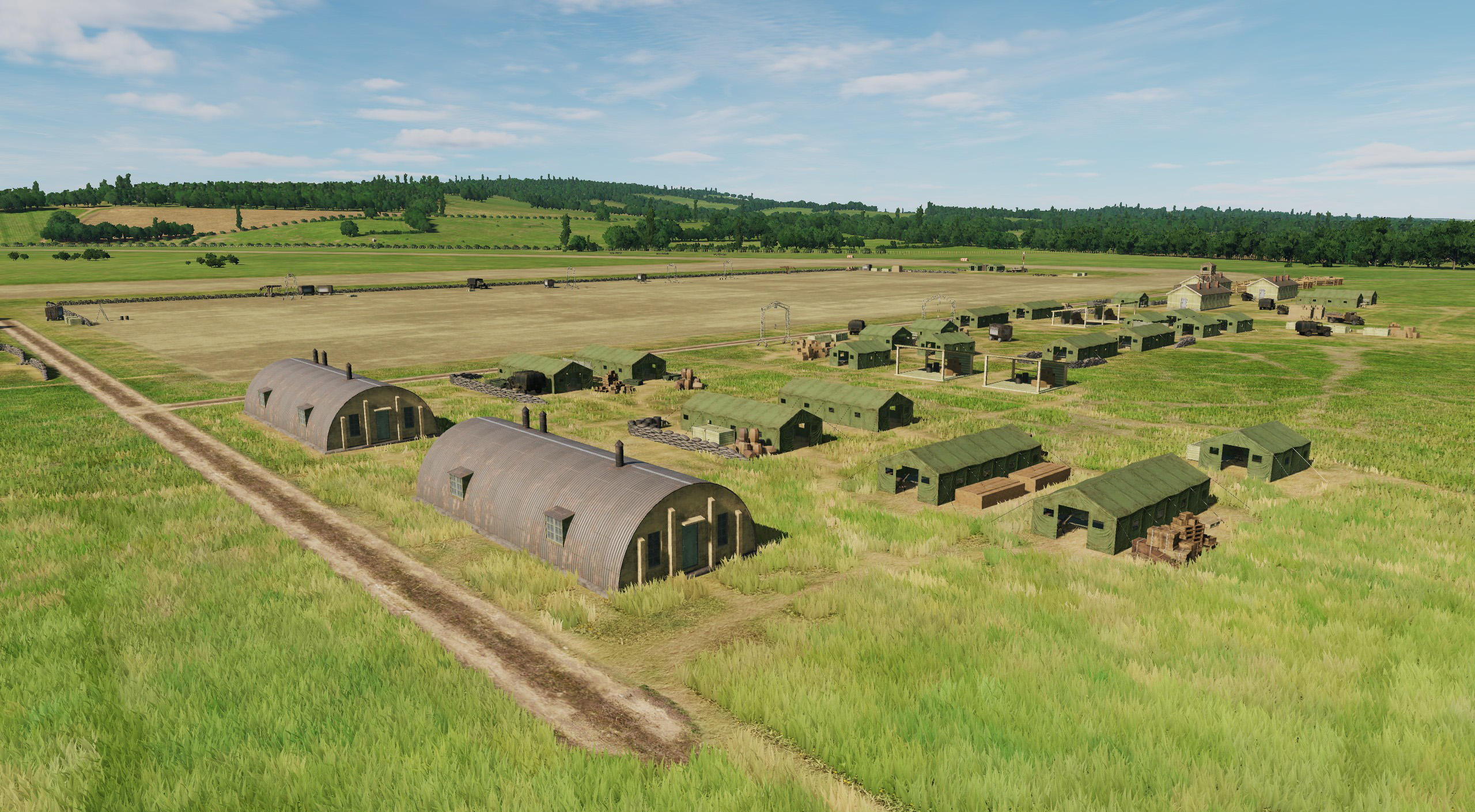
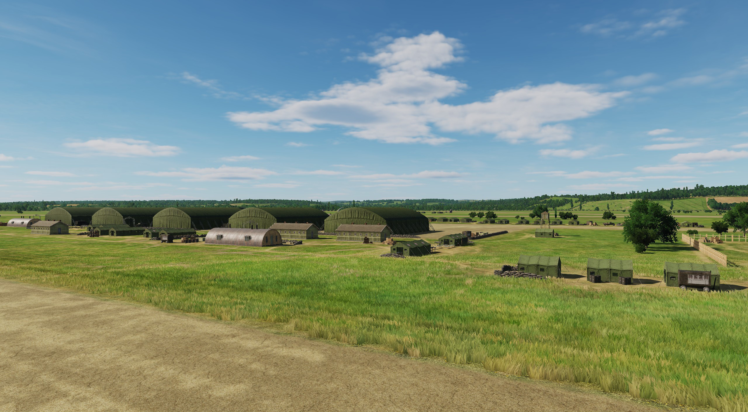
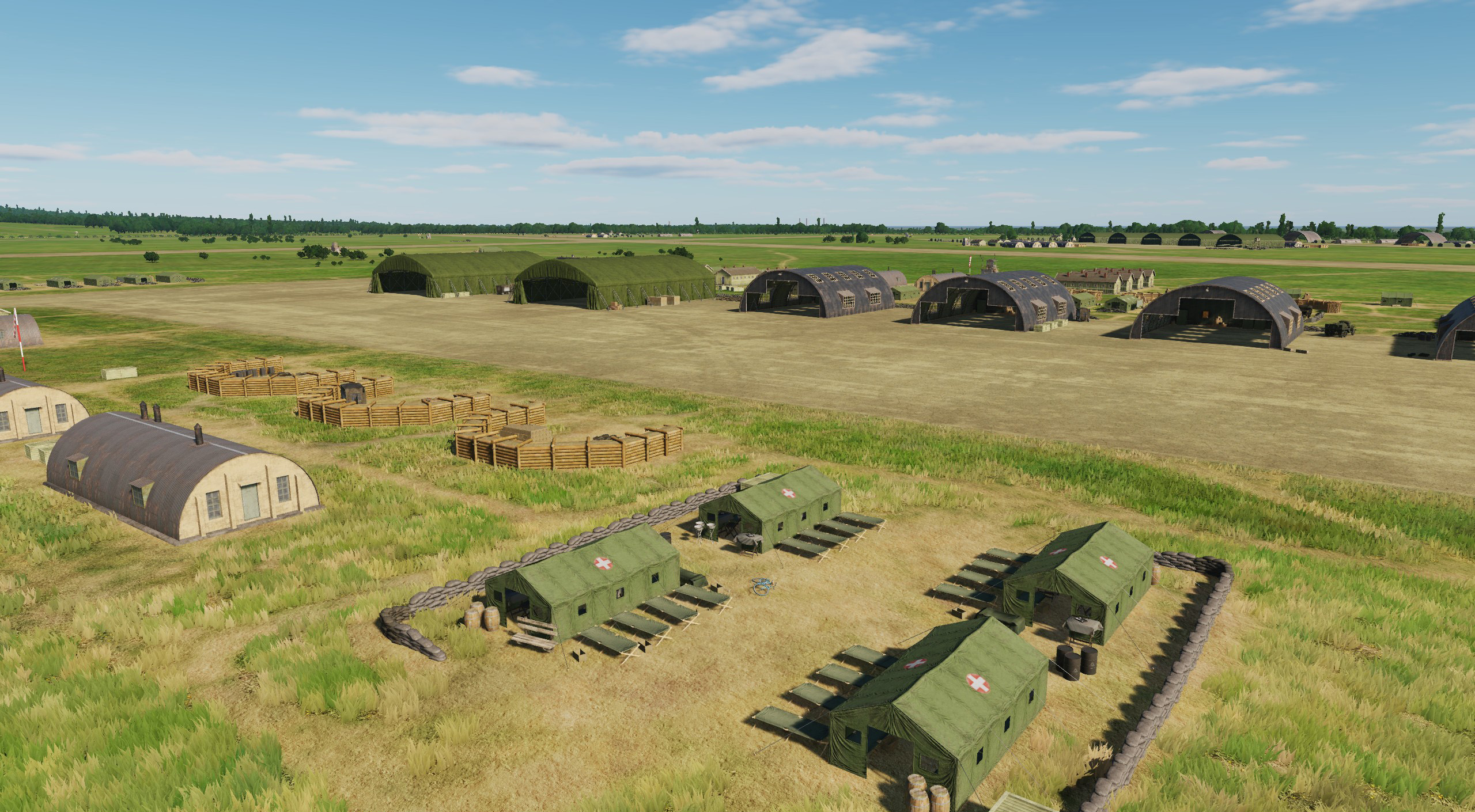
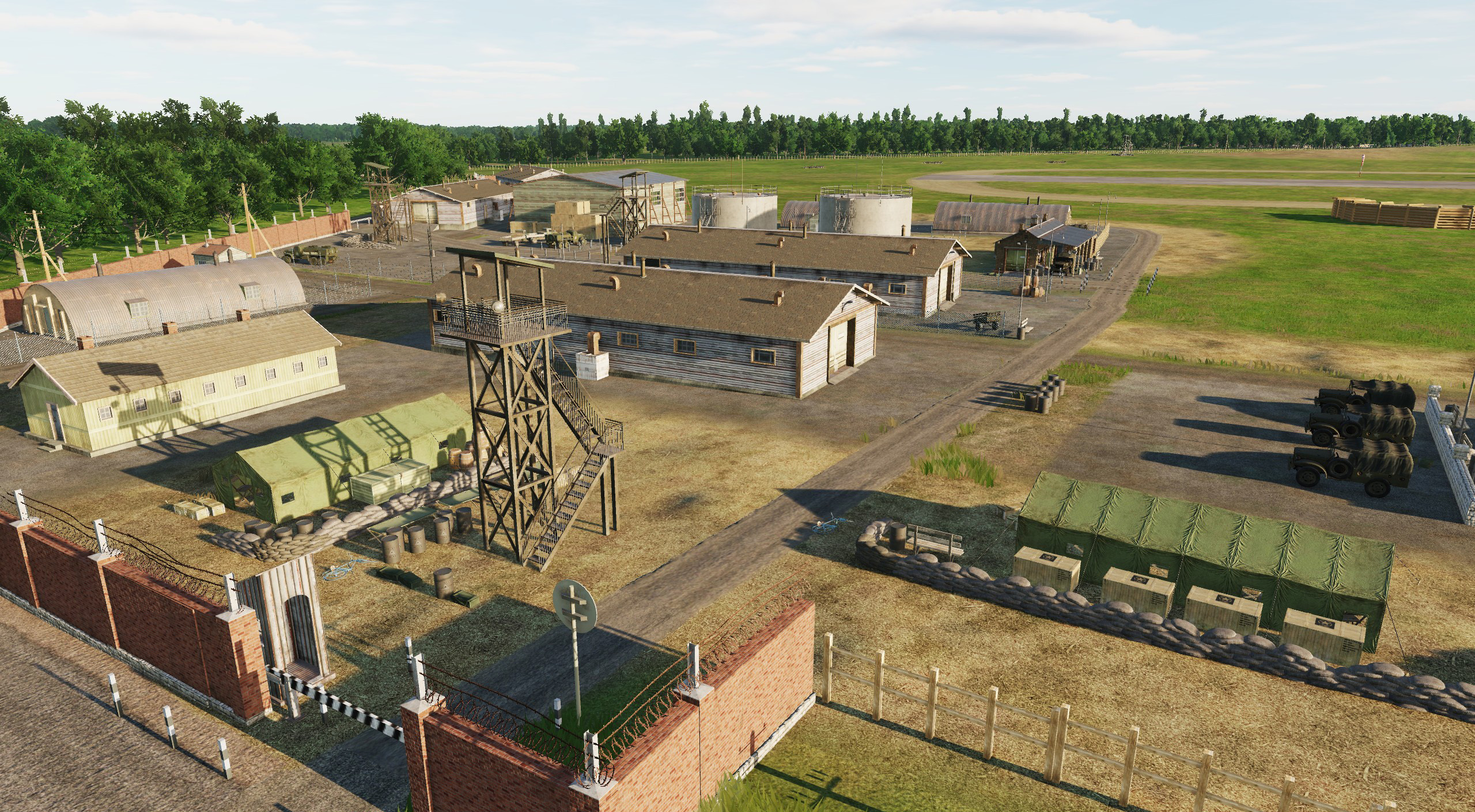
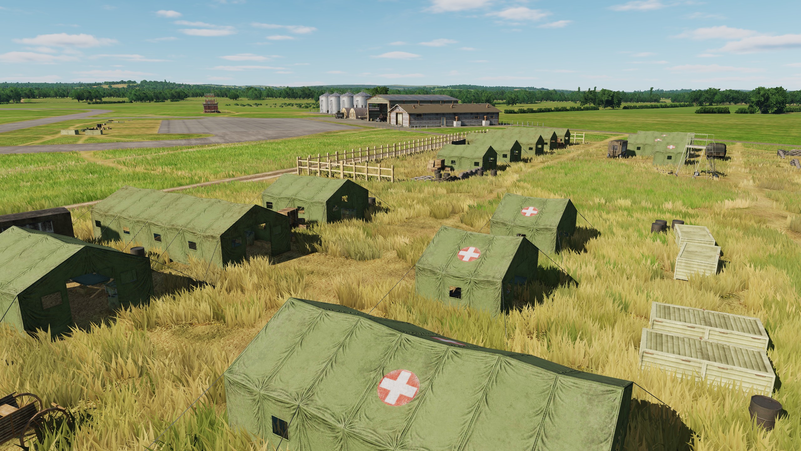
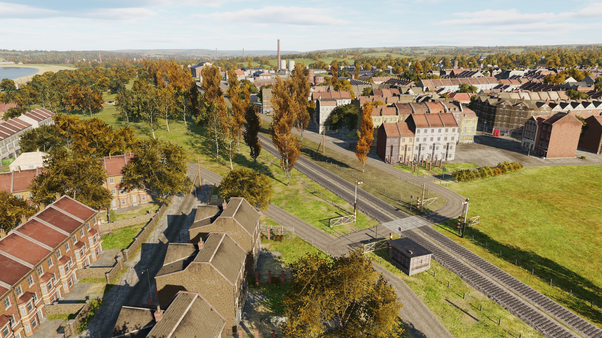
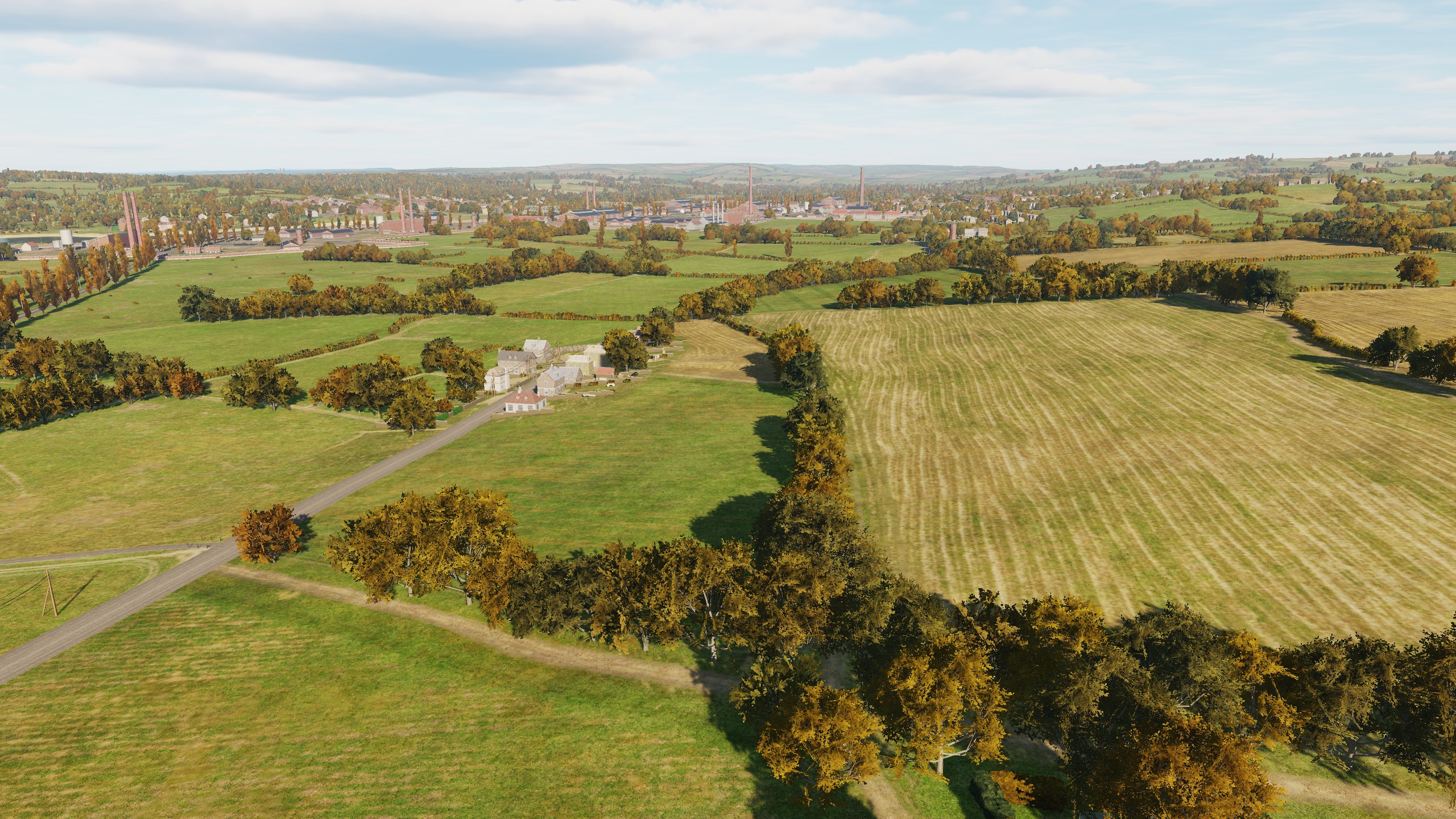
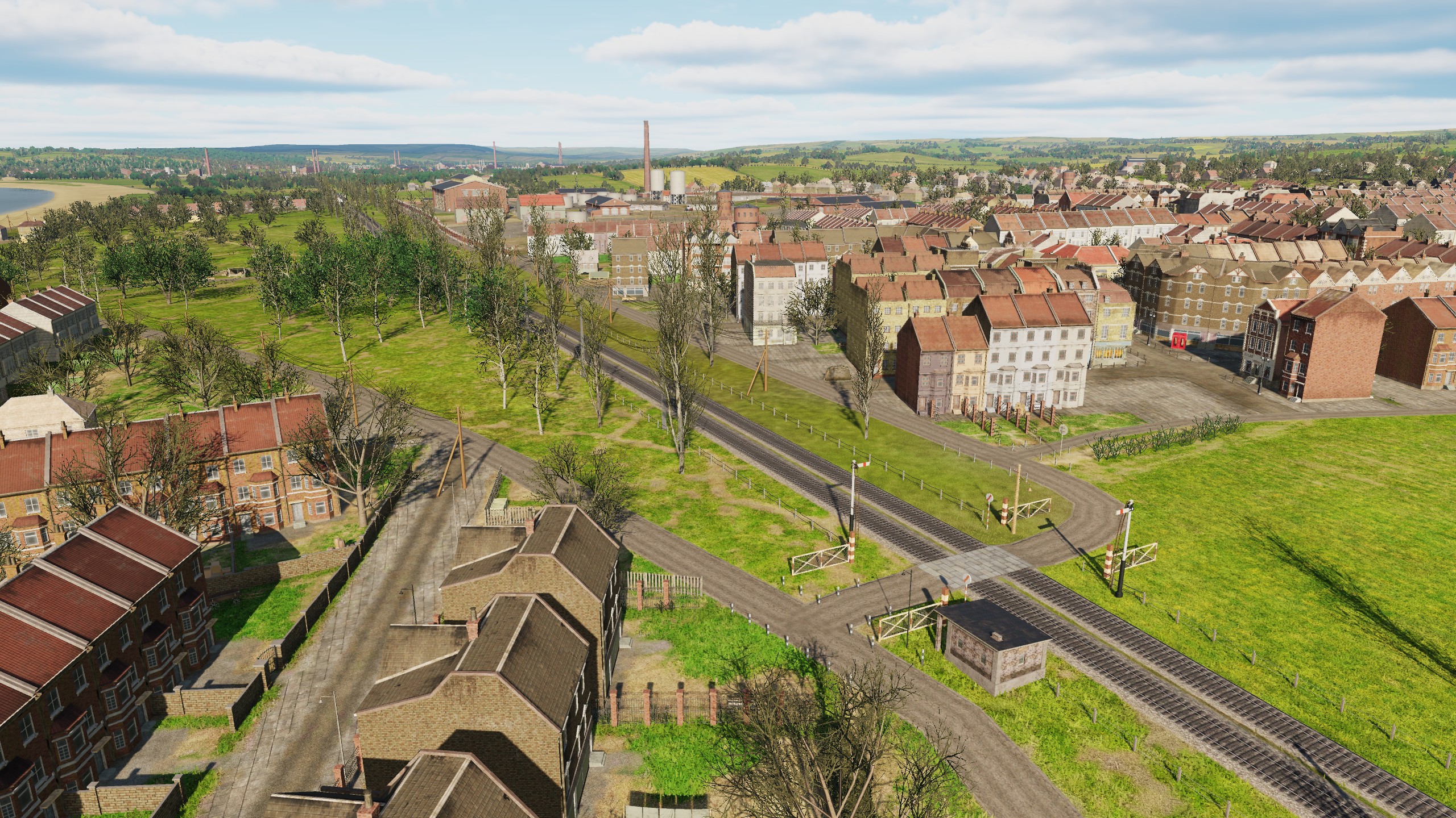
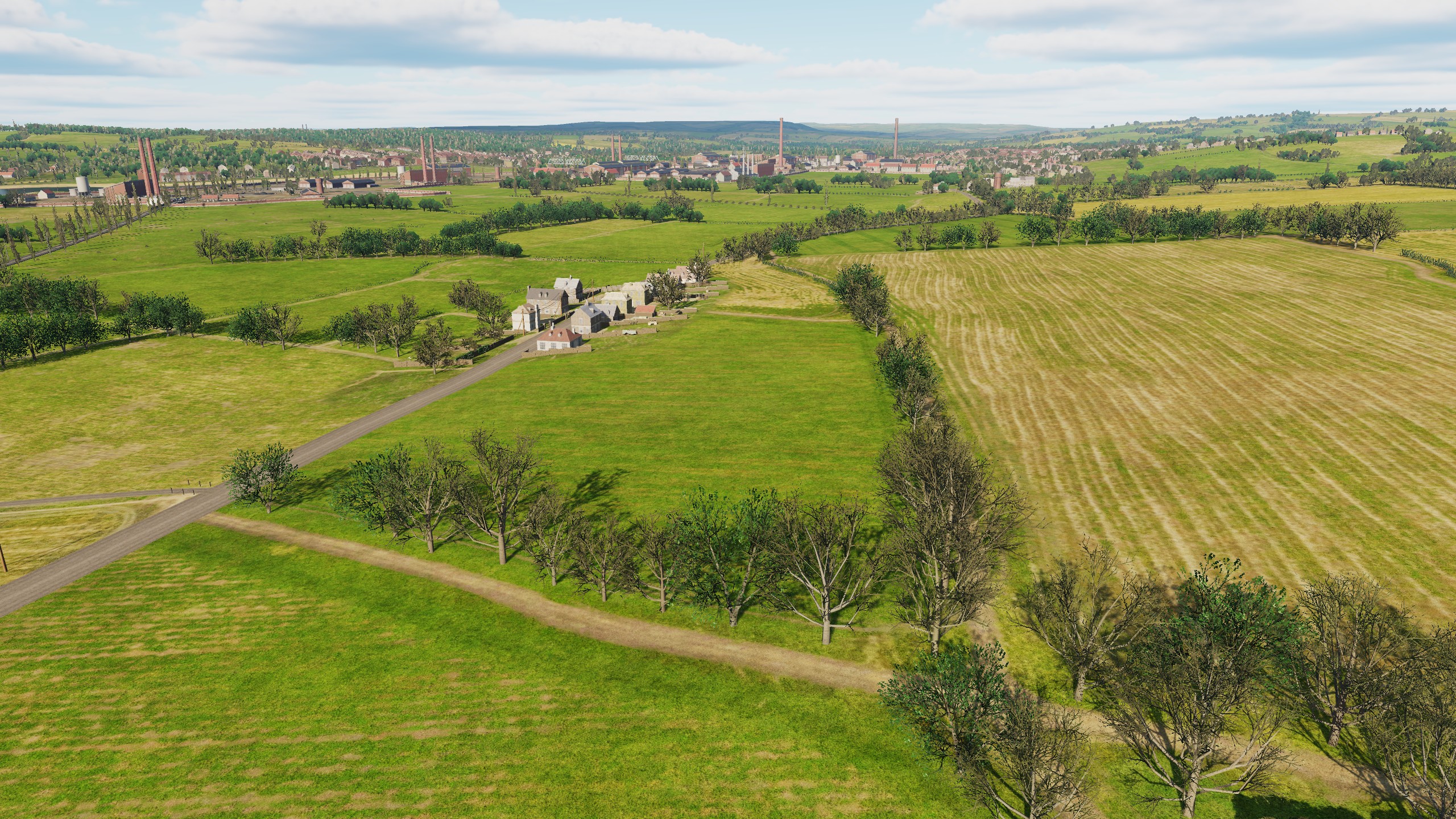
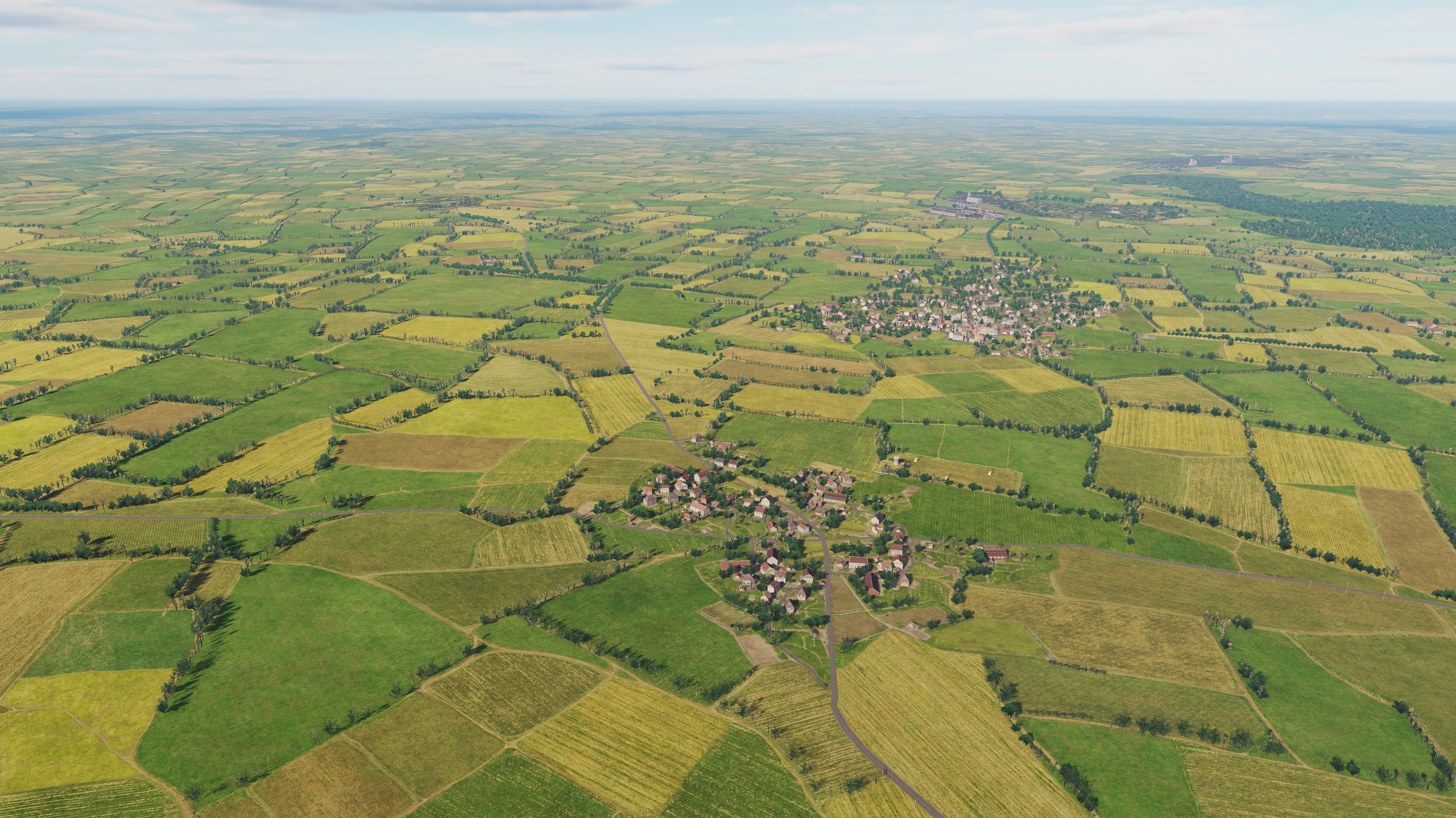
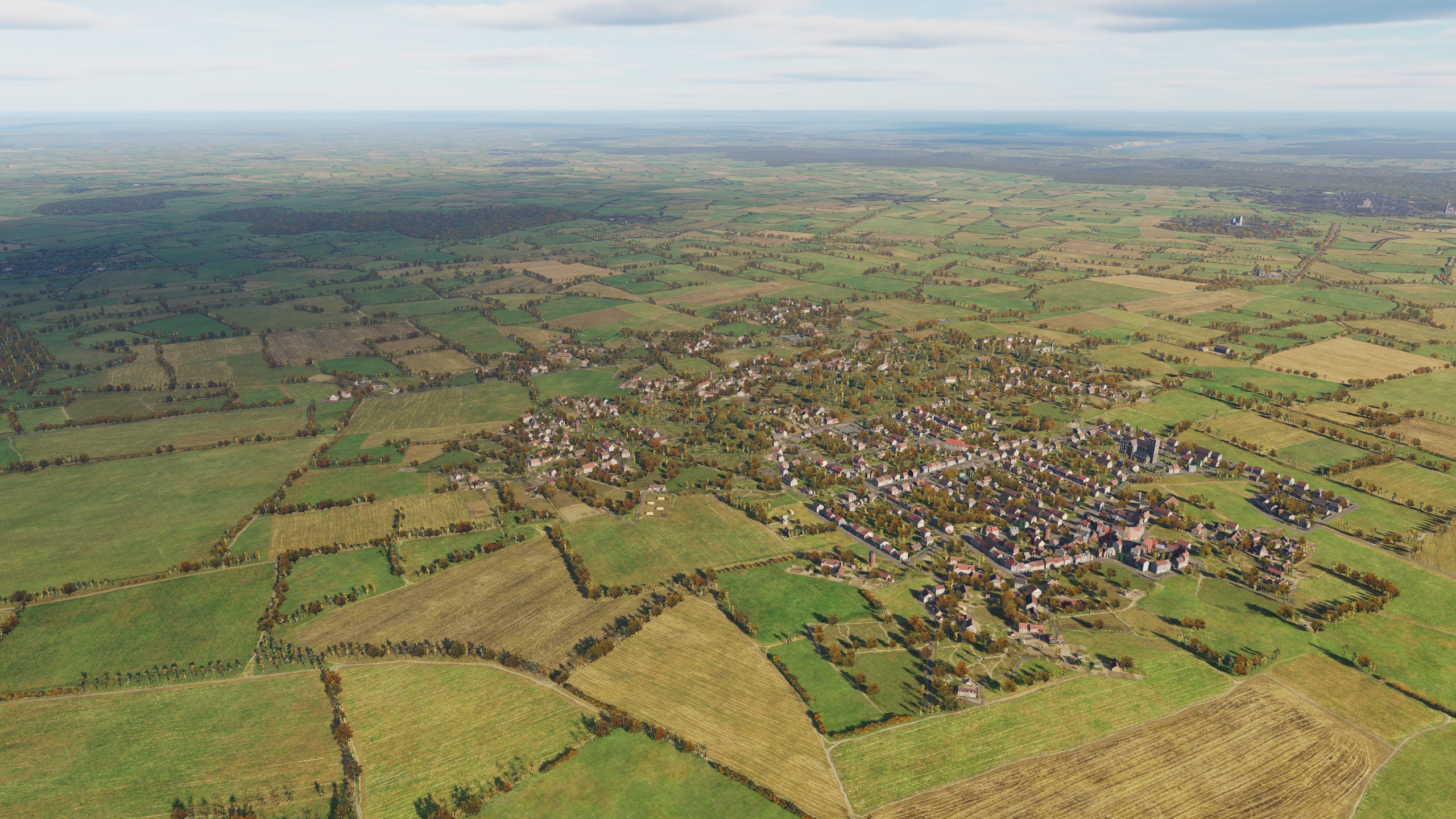
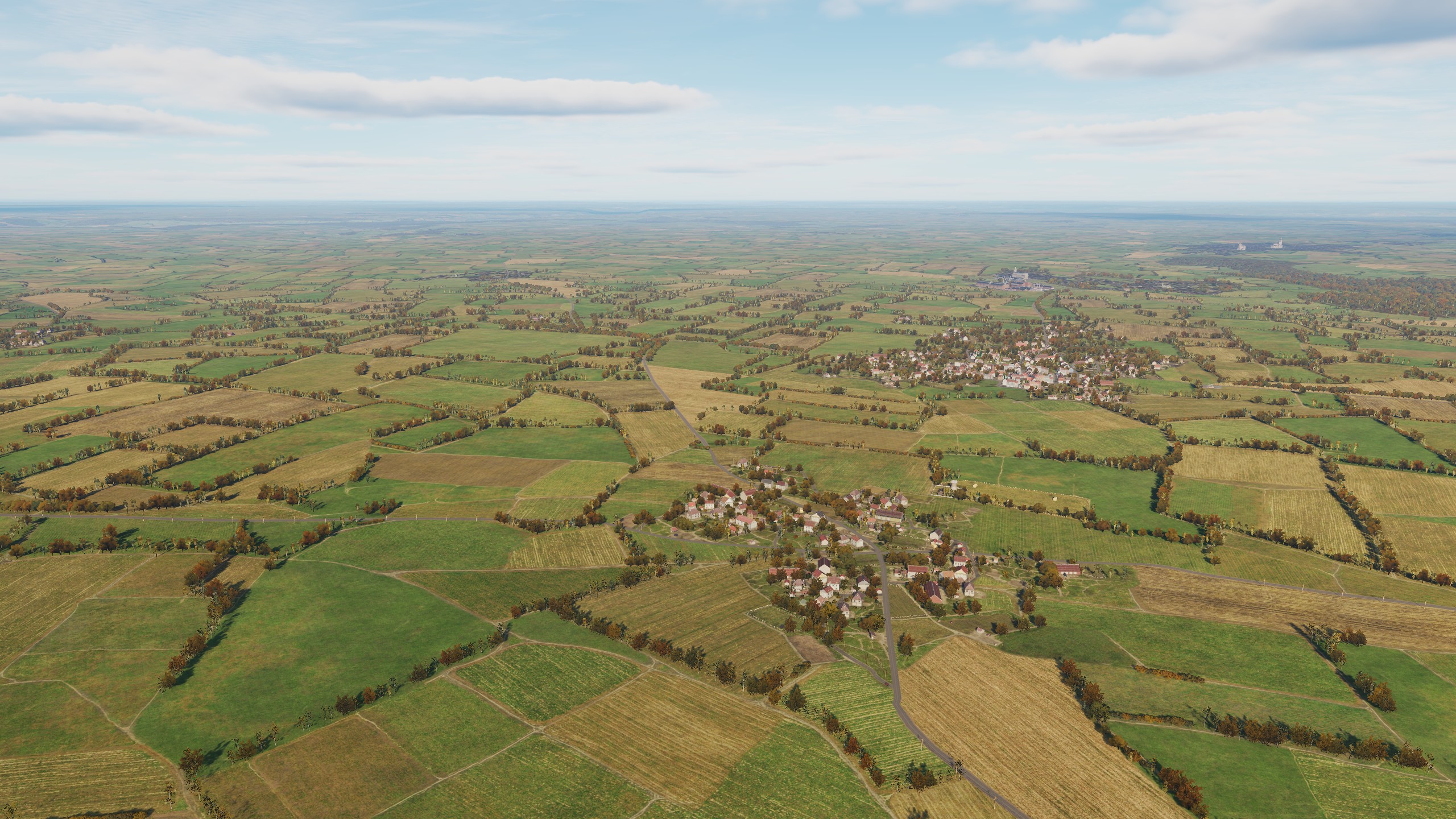
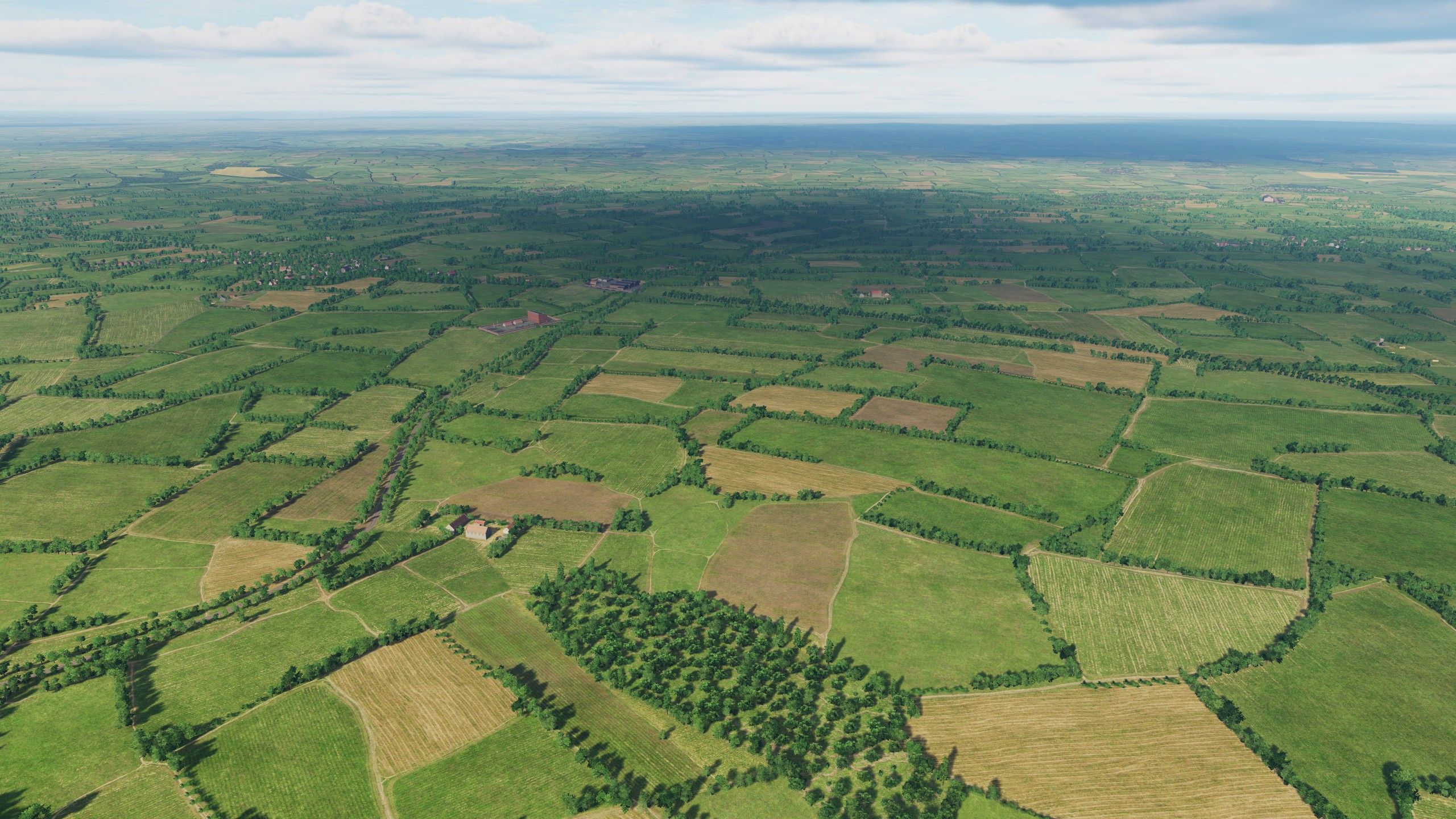
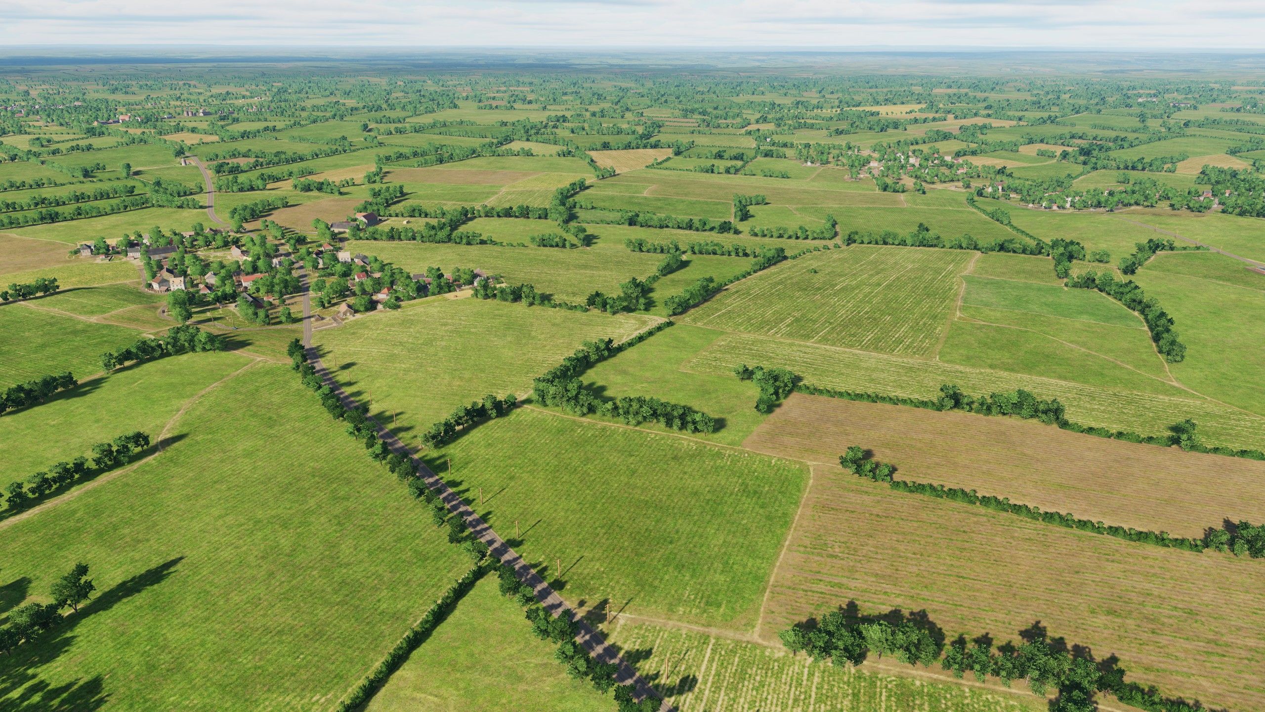
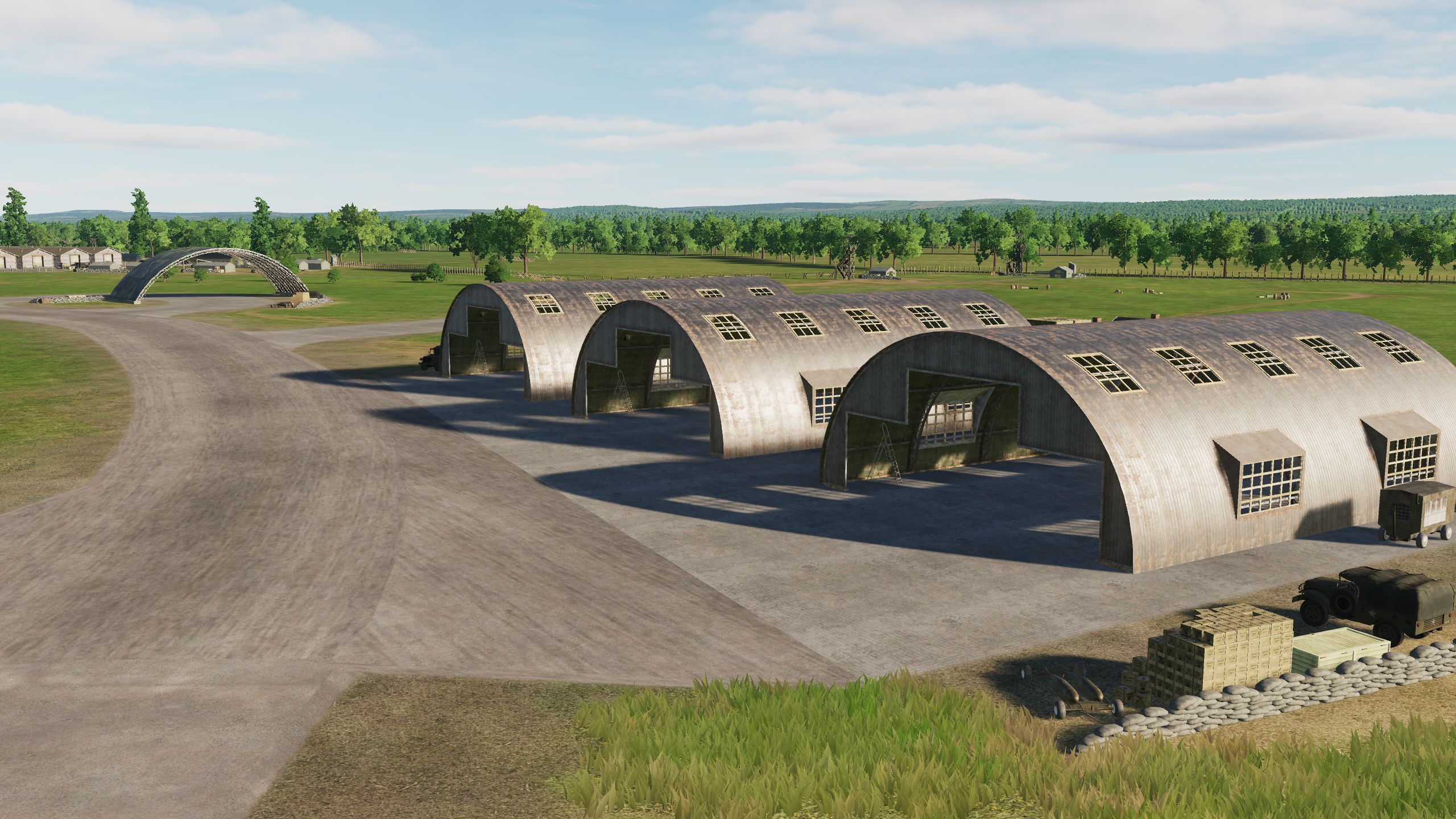
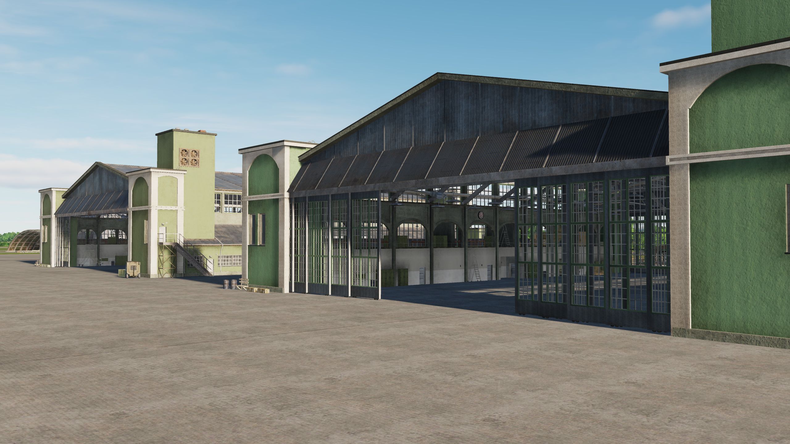
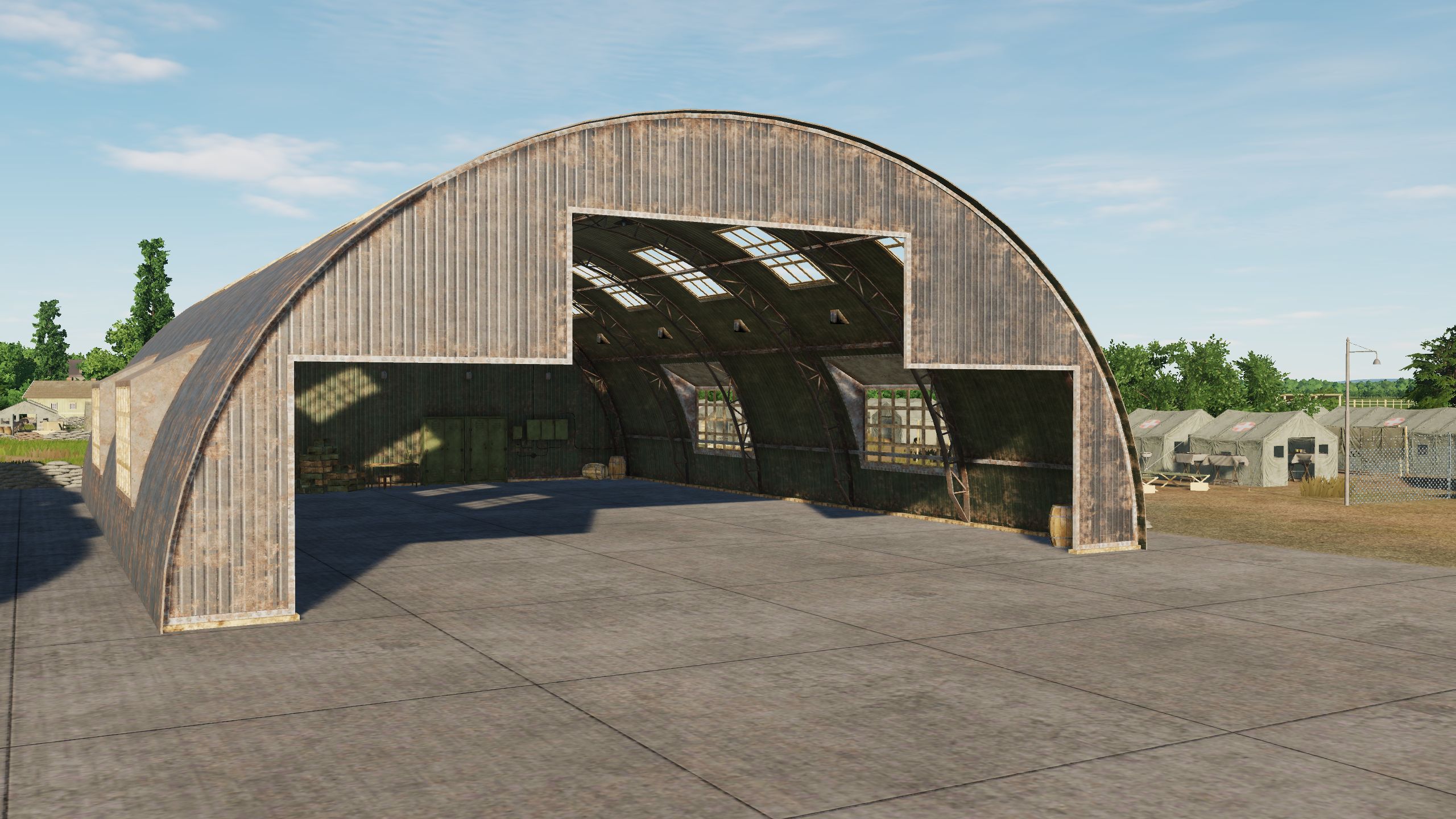
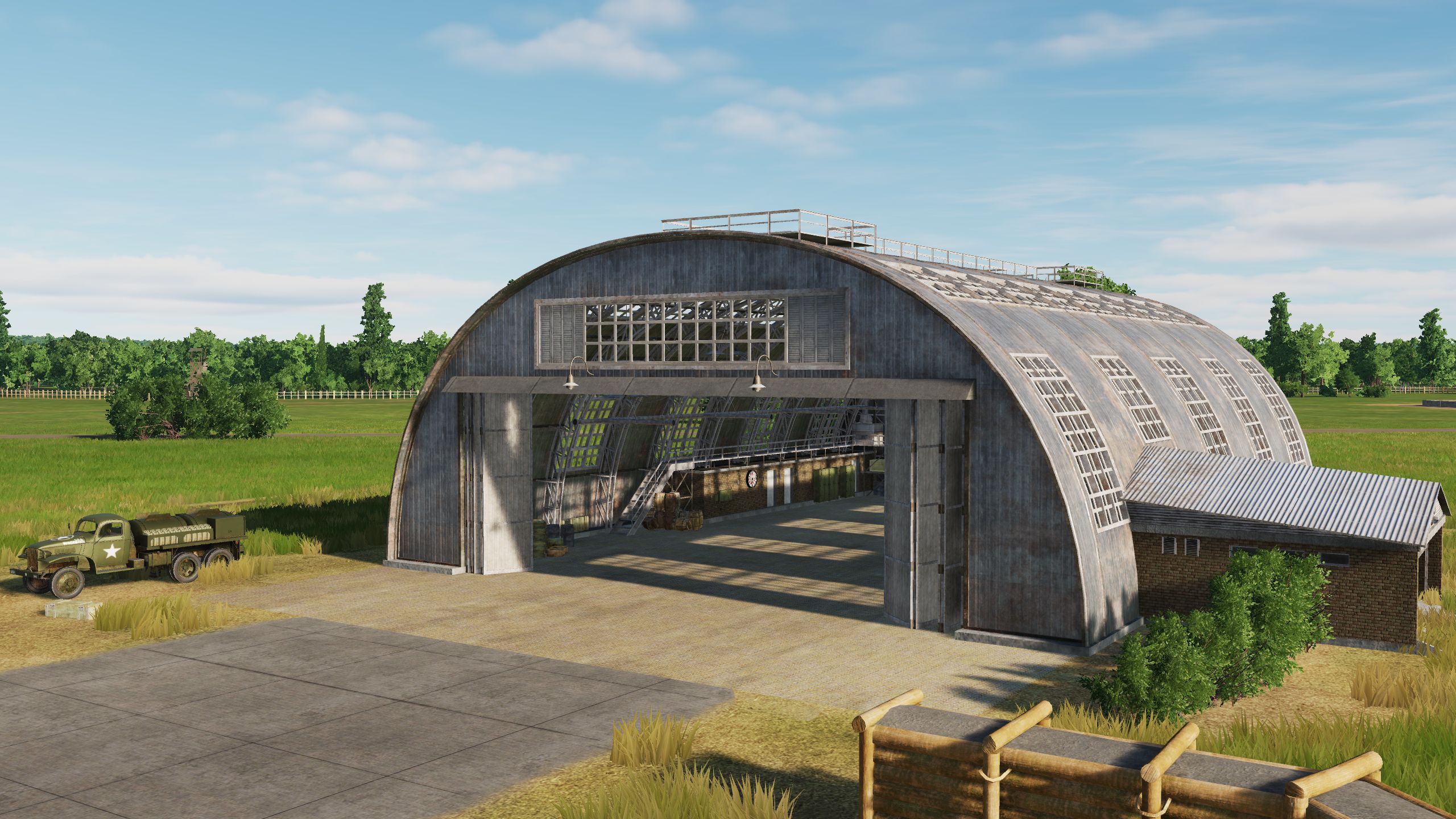
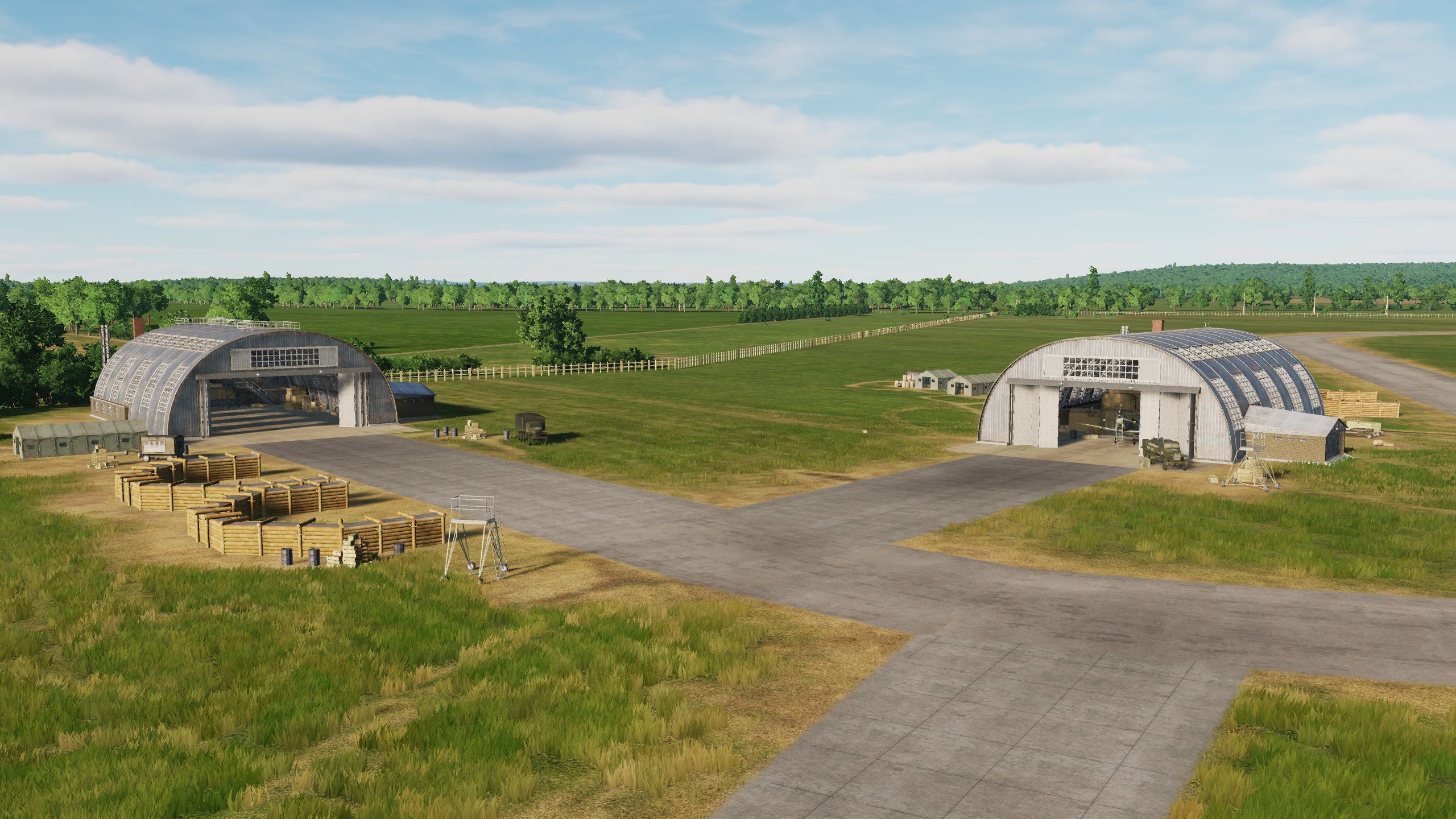
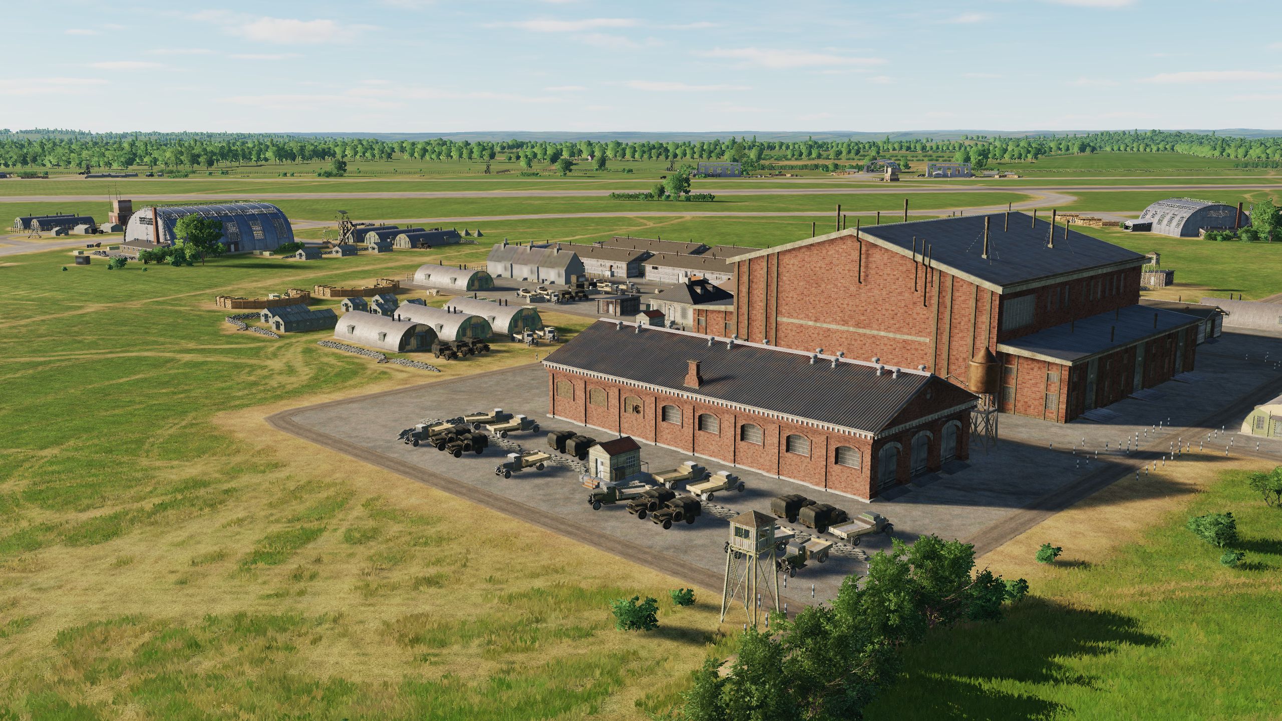
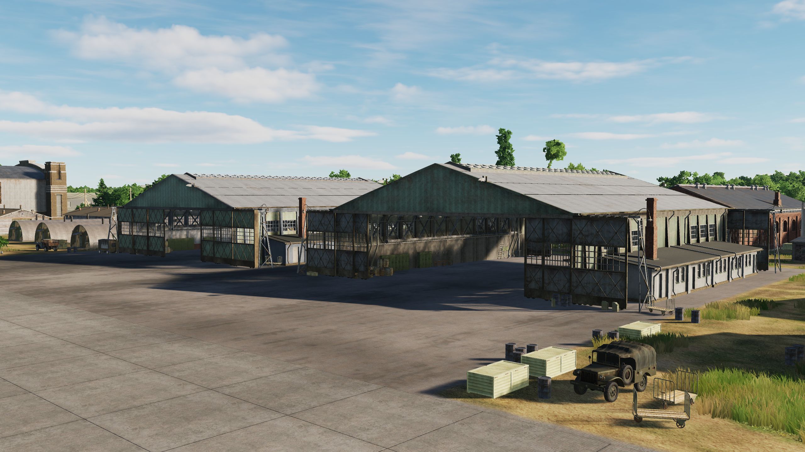
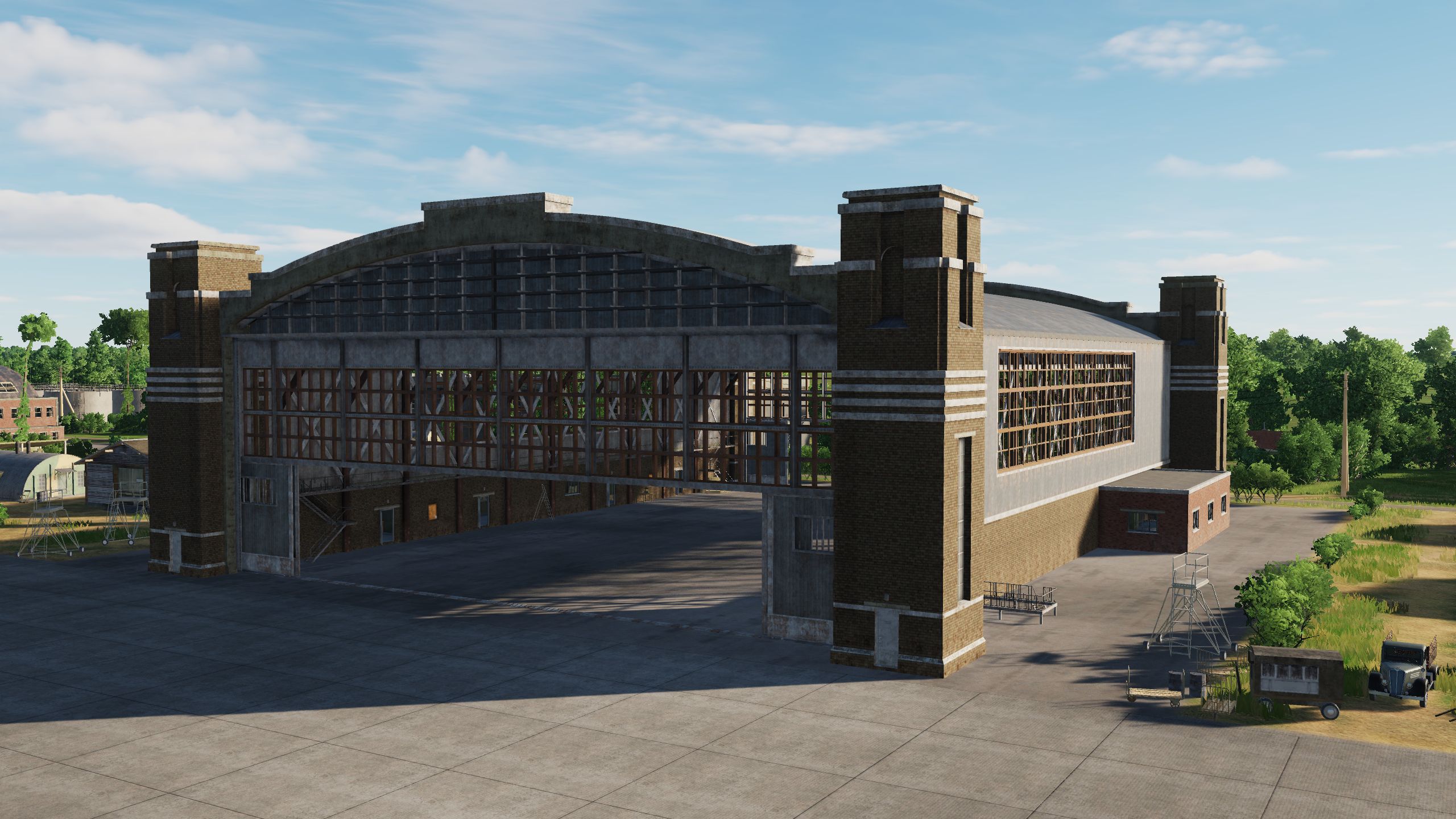
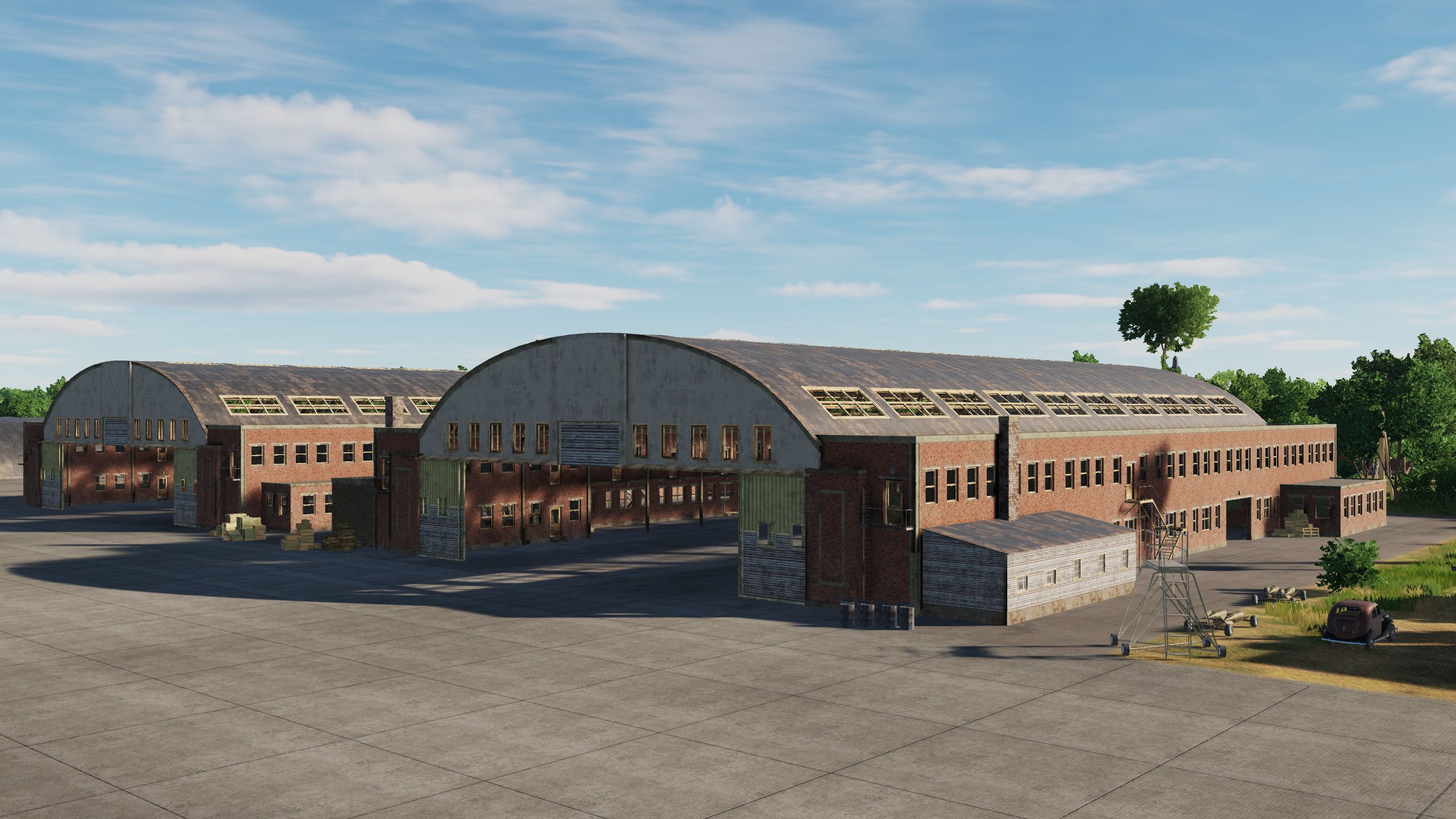
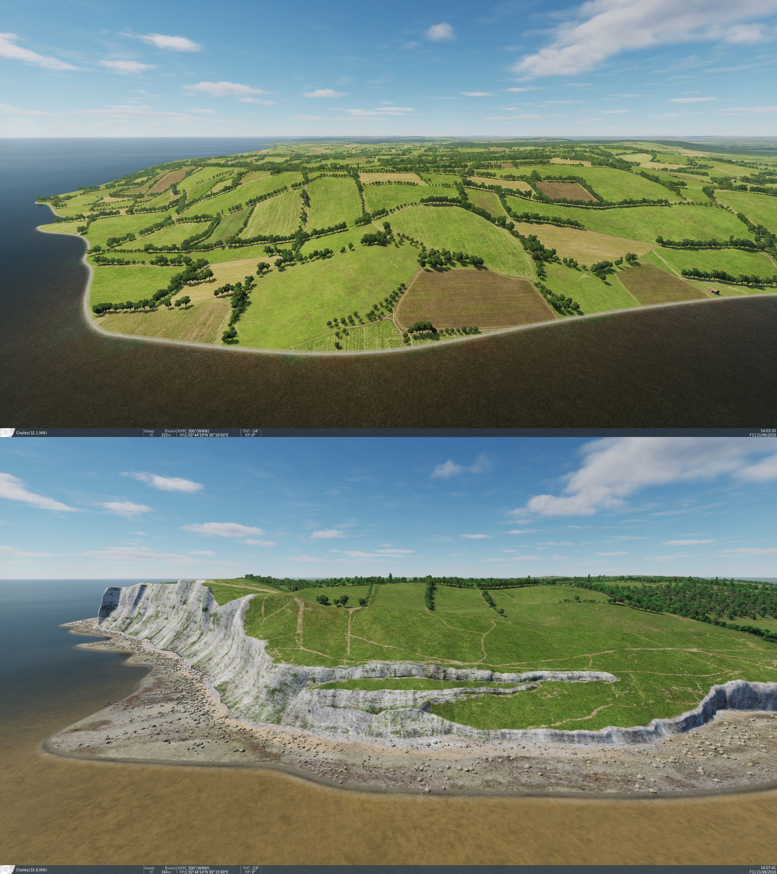
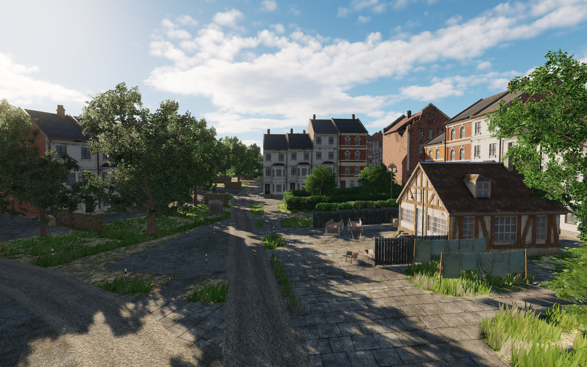
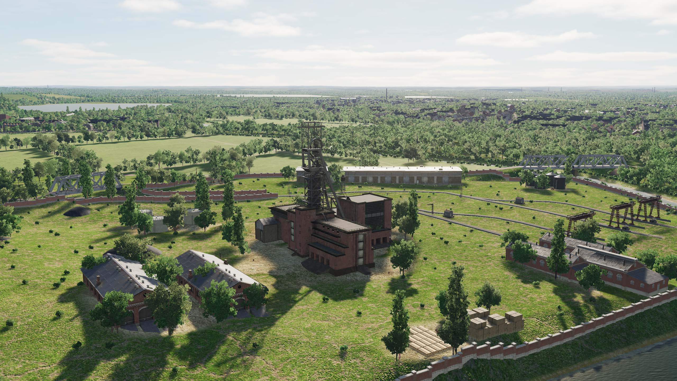
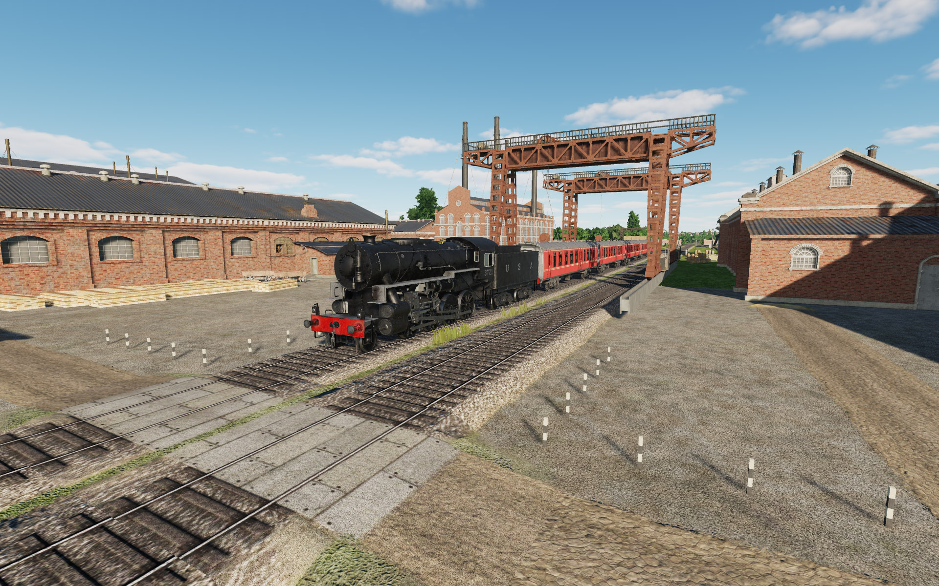
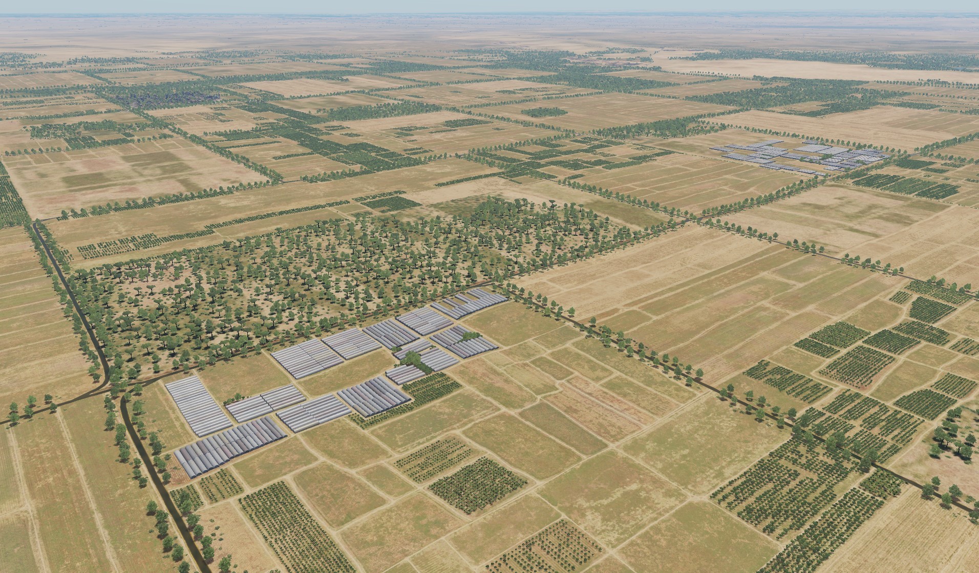
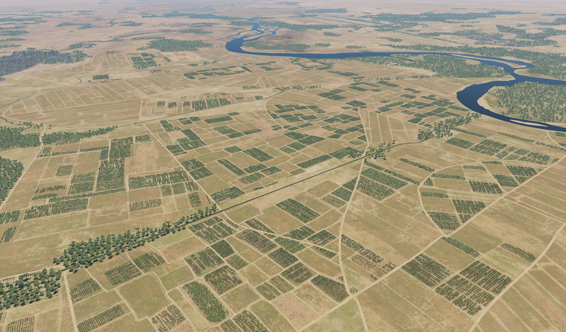
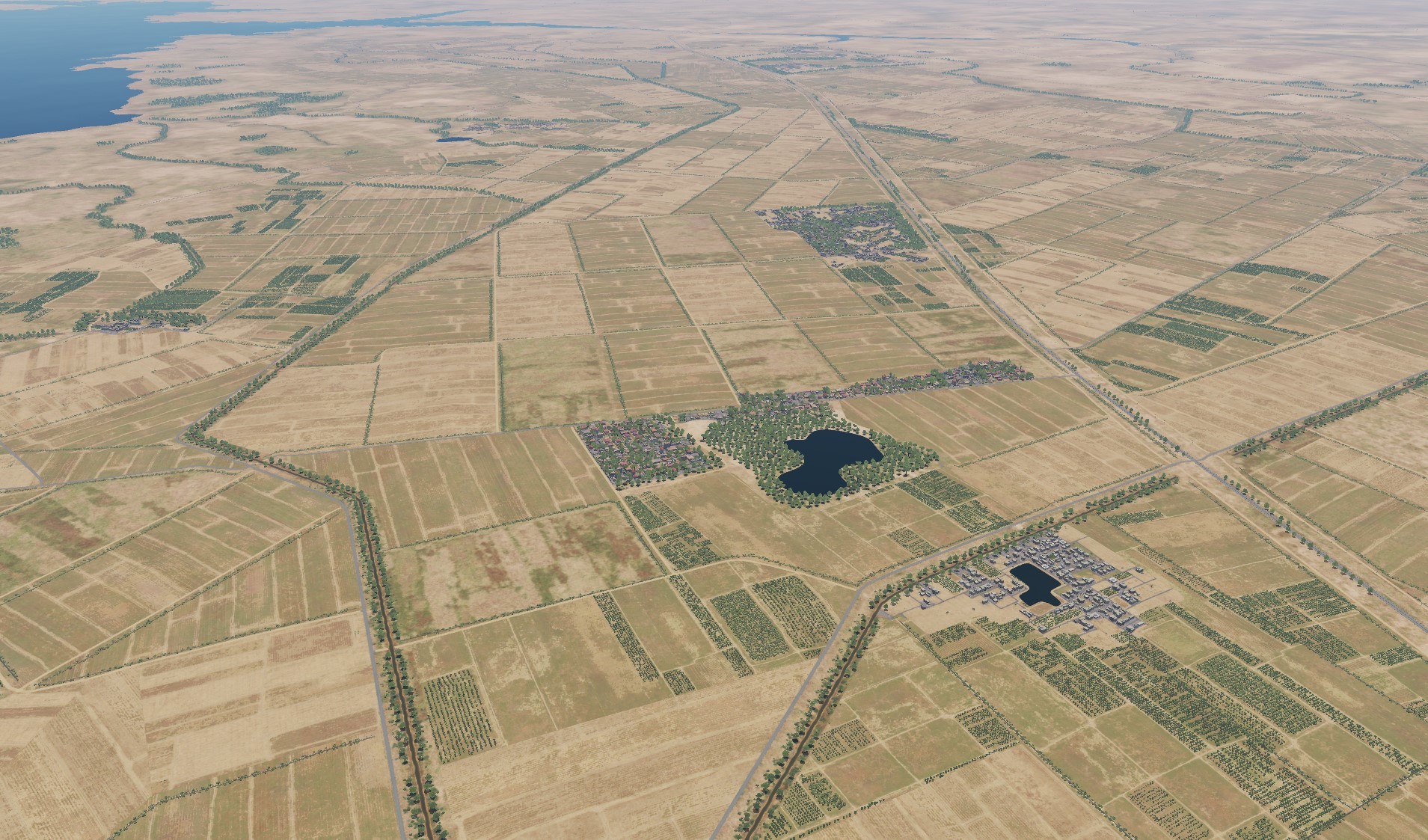
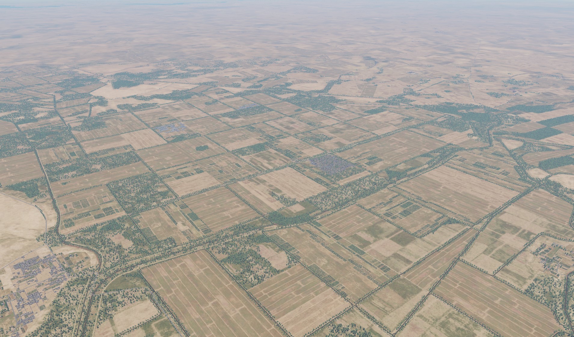
Hi The Normandy2 map is nearing completion. The development team would like to thank the participants of the DCS Forum for their great interest in the project and for their active participation in the discussion of the first results shown last fall. On the map added the original airfield Orly and standart airfields Stoney Cross, Lymington, Odiham, Deadland, Friston, Amiens-Glisy, Poix, Ronai, which were important for this theater. The total number of airfields will be 65. In recent months, considerable effort has been devoted to the task of streamlining the project, and a great deal of work has been done to adjust the color scheme of the whitewashed component parts of the project - buildings, fields, and trees. Much attention was paid to the original objects of Paris and London, including famous historical monuments. Transport and military infrastructure have been worked out in detail. Original objects Airfields (Thanks to the guys from the forum, they made the changes that were possible) What time is it now?
- 377 replies
-
- 29
-
-
-
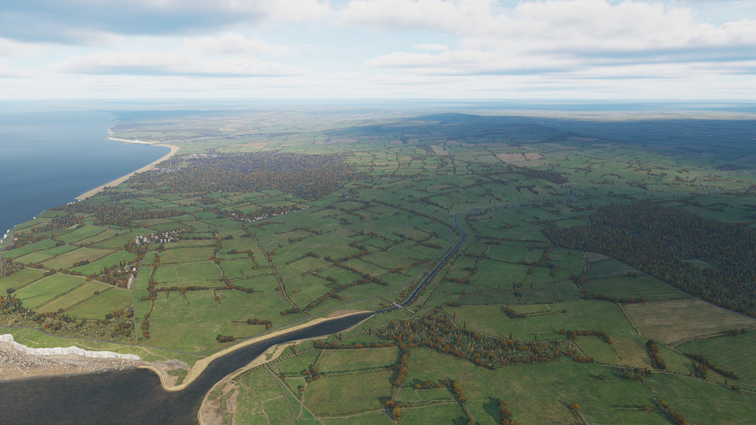
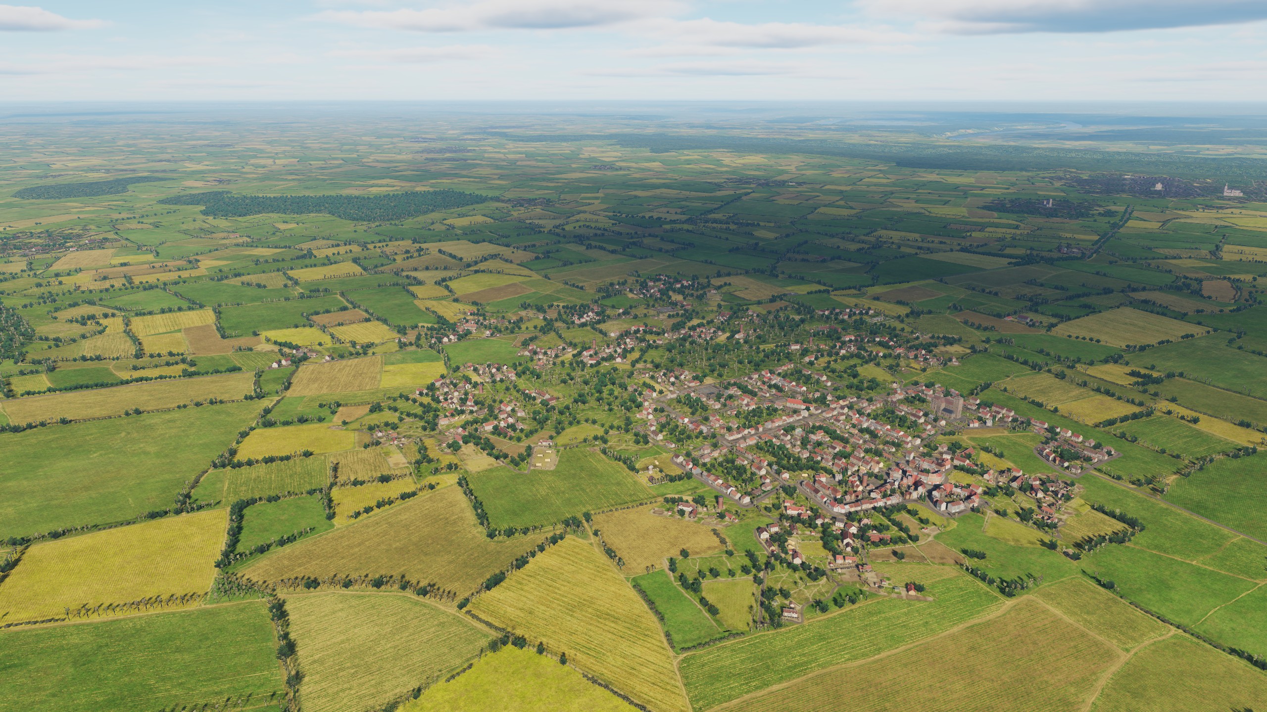
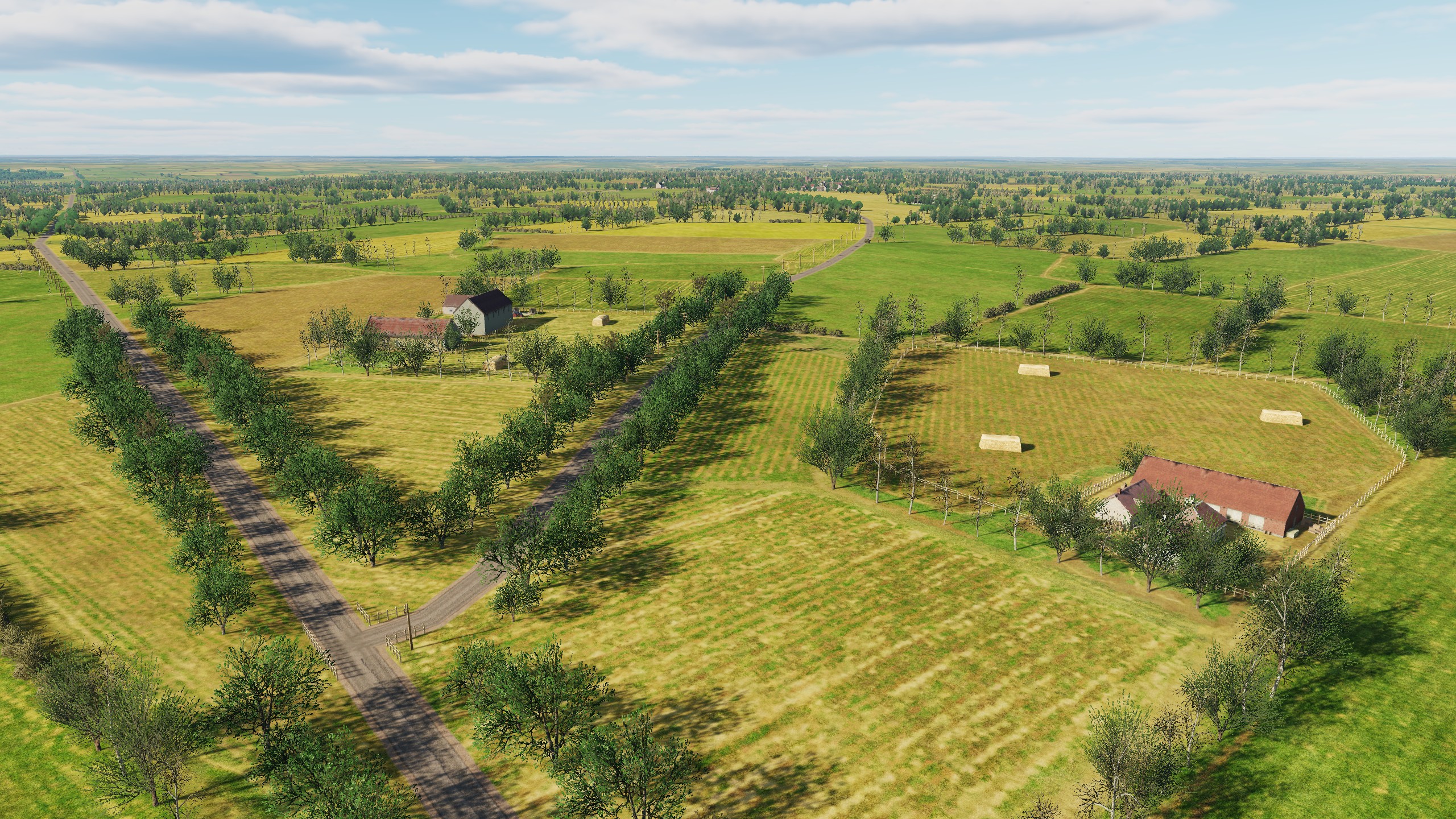
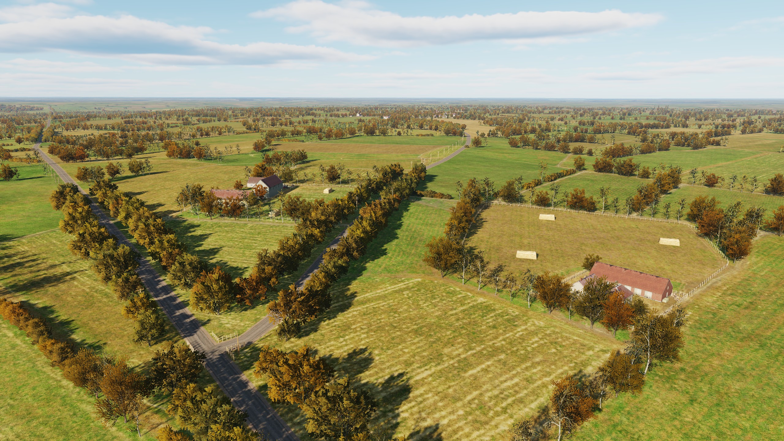
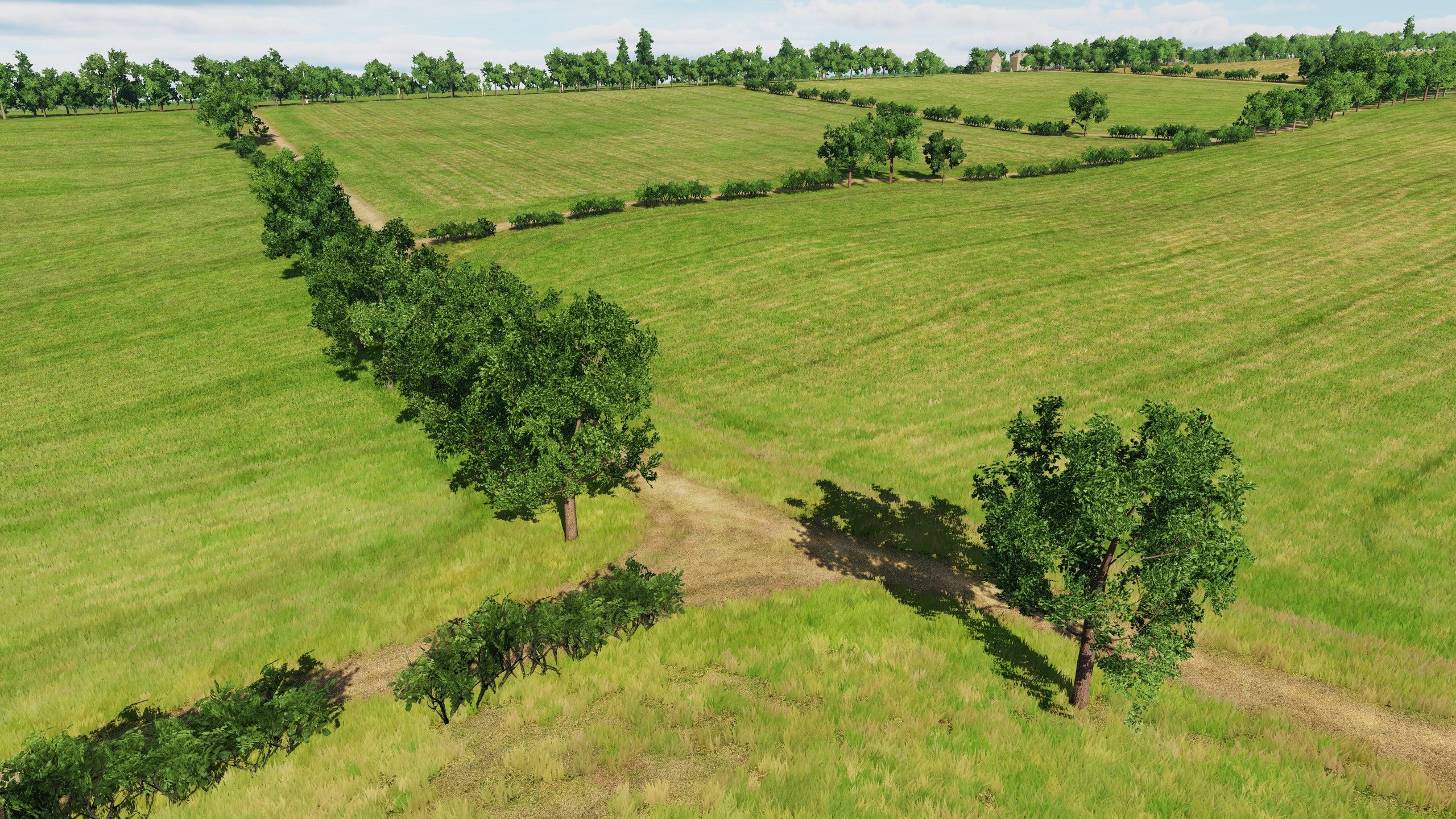
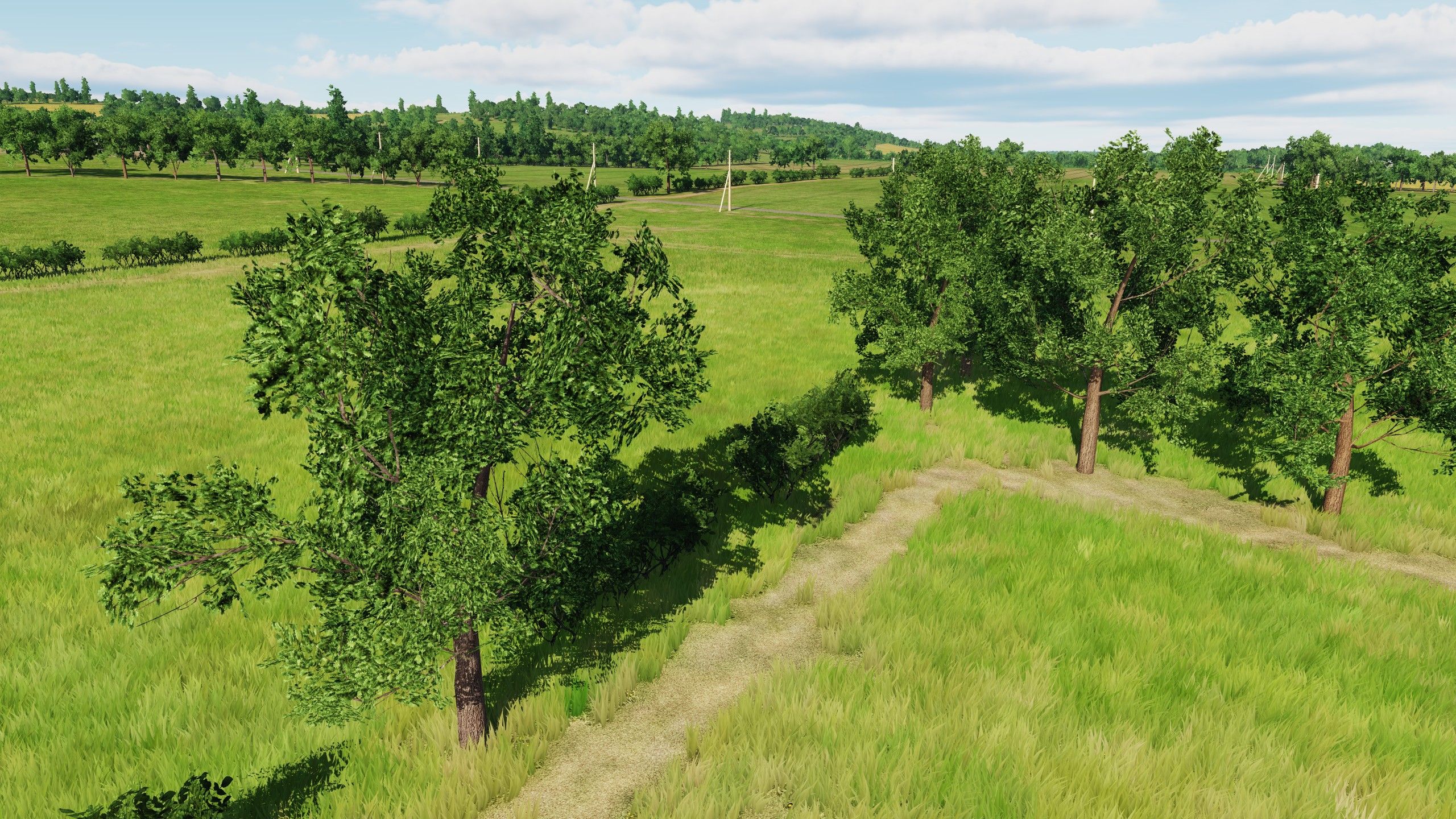
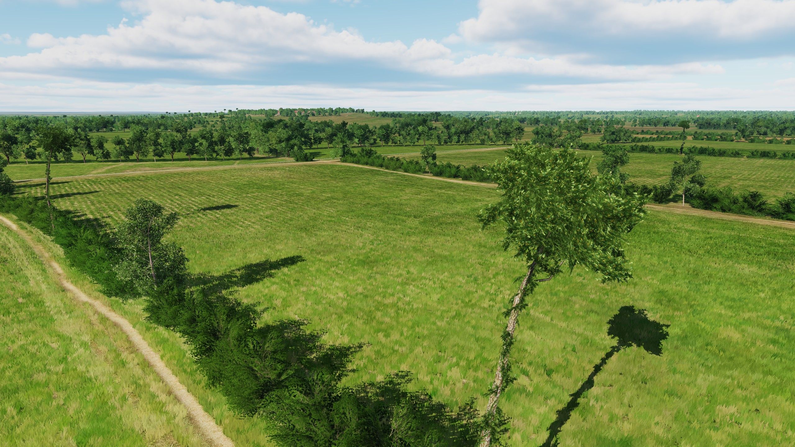
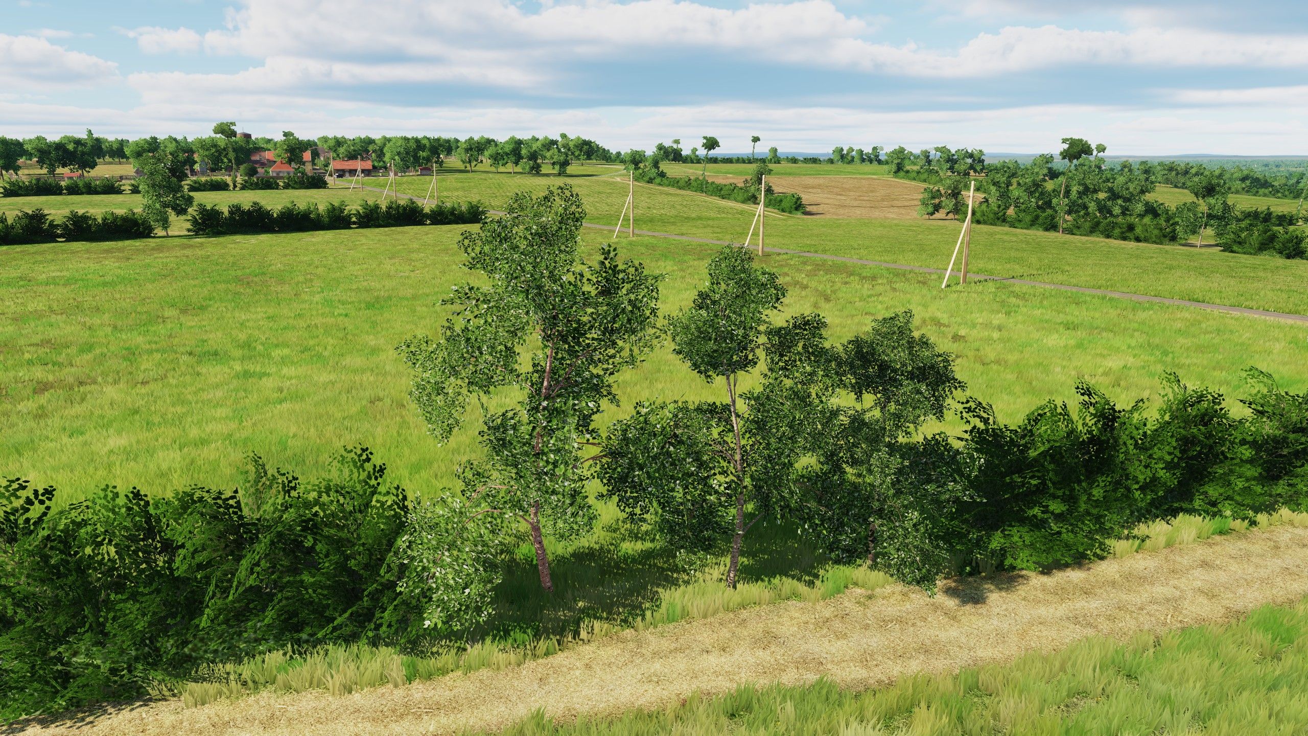
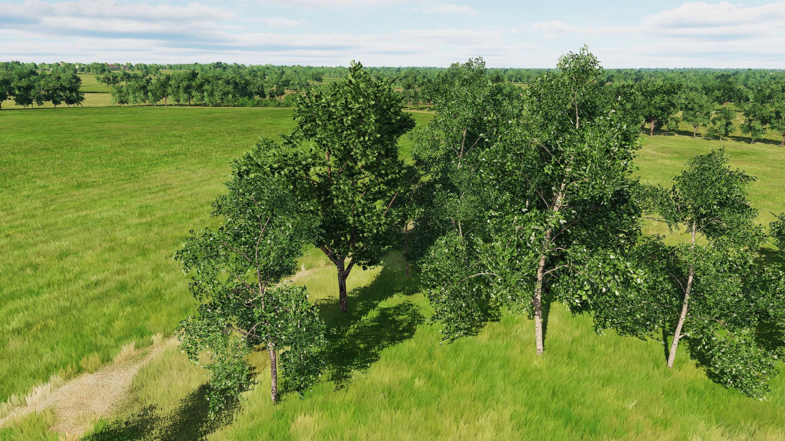
Hi, pilots Flora. We have updated the main types of trees. Fields and trees of England: In England, the trees are oak (lat. Quércus), pyramidal poplar (lat. Pópulus nígra), ash (lat. Fraxinus) and this is our habitat Fields and trees of France: For France trees - birch (lat. Bétula), maple (lat. Ácer) , beech (lat. Fágus) Video recorded on PC: i7 7700K, 32Gb RAM, 3060 8Gb
- 377 replies
-
- 31
-
-
-
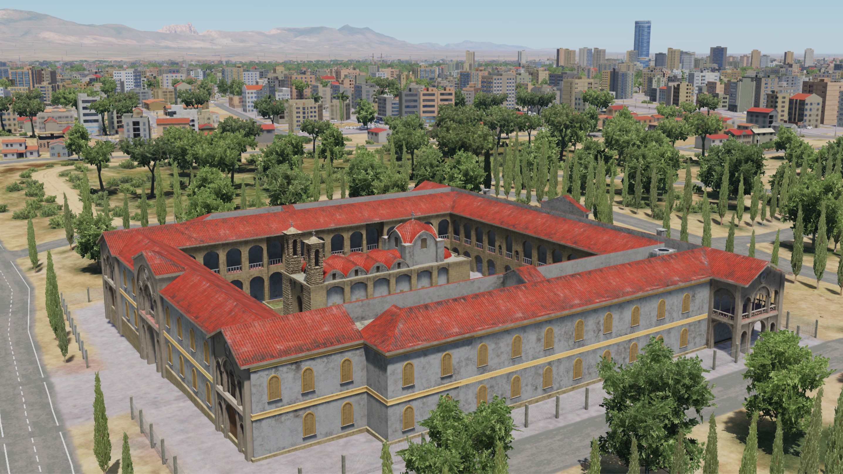
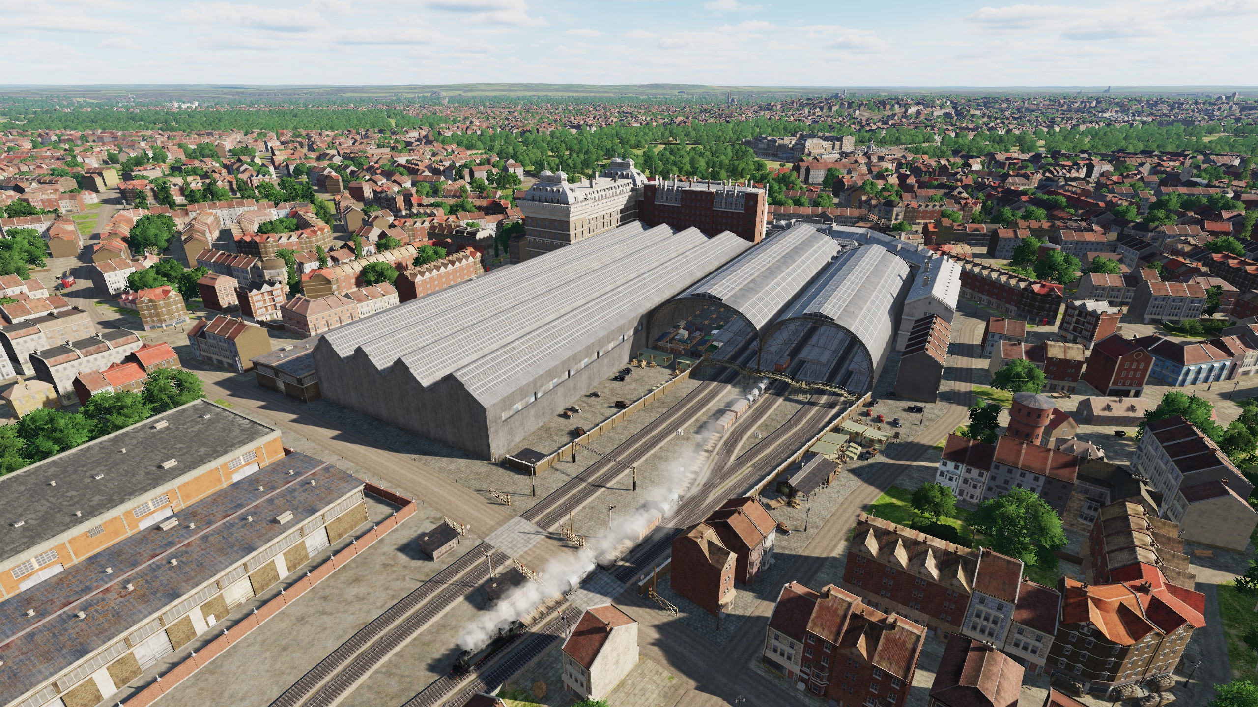
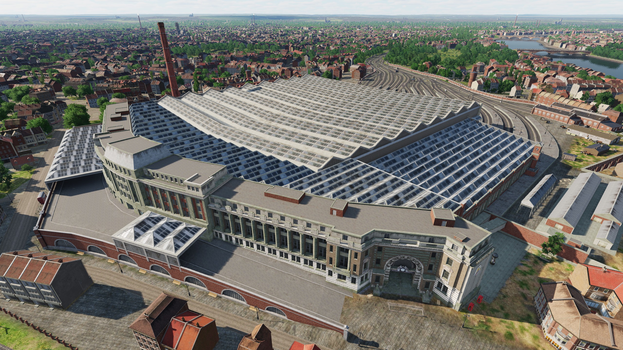
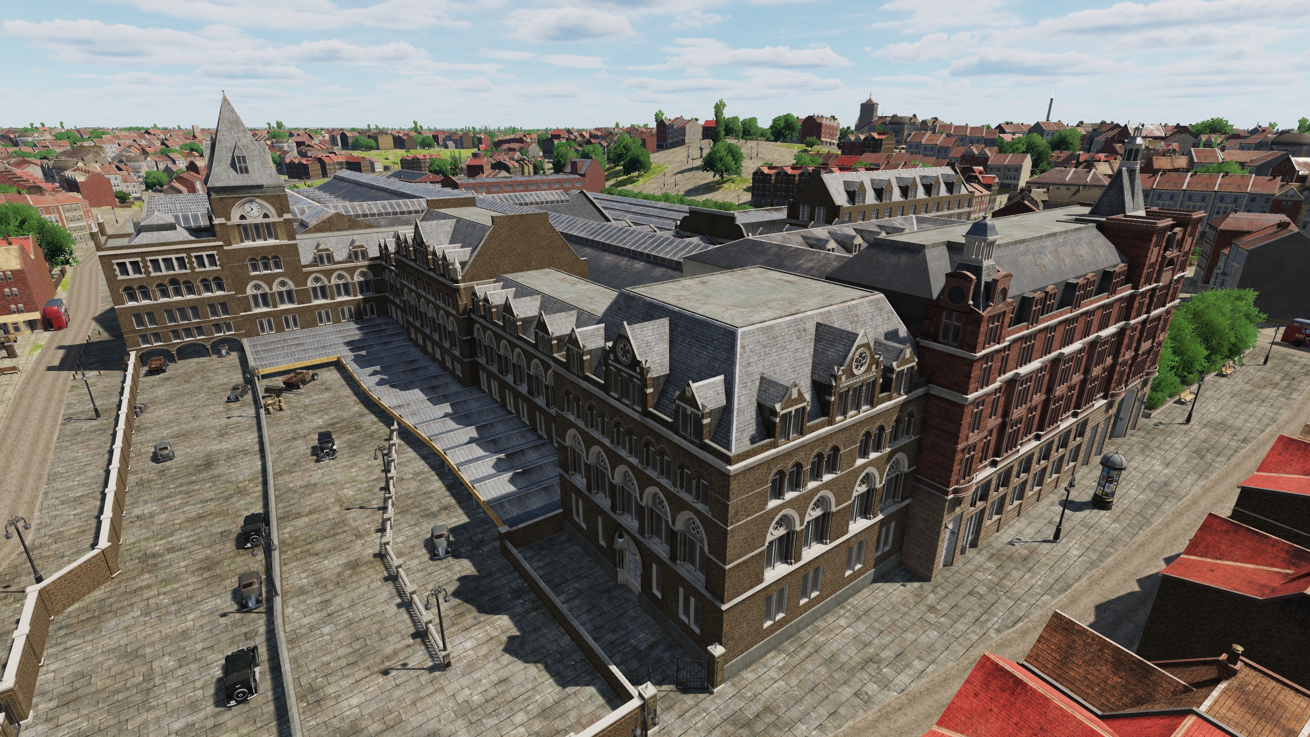
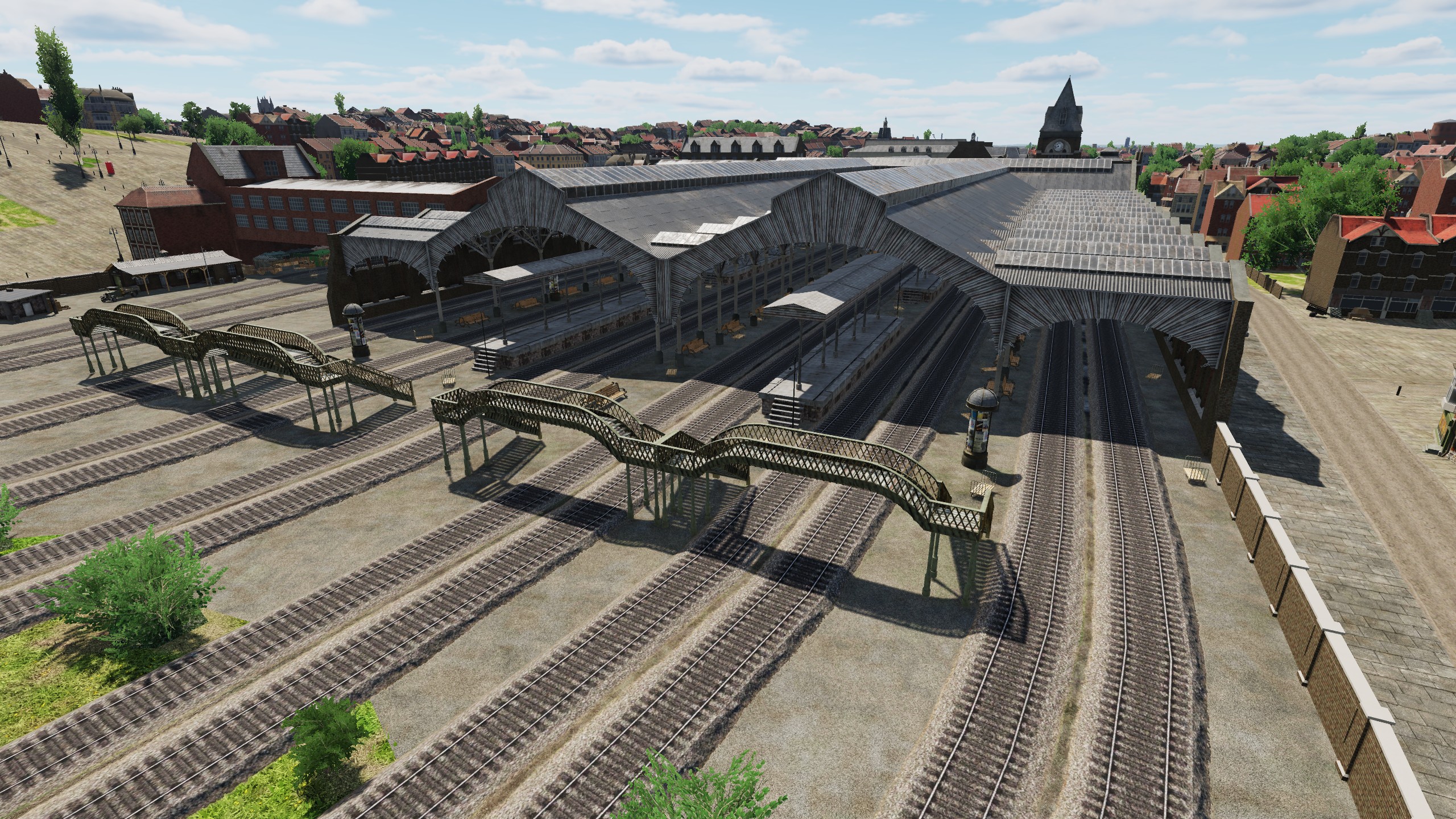
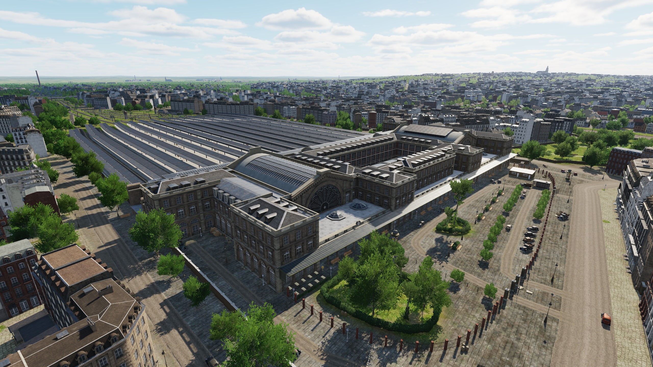
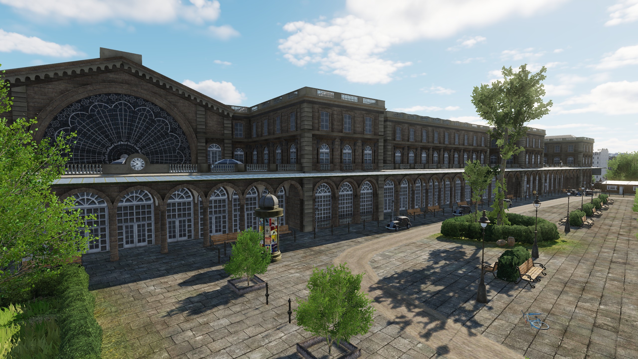
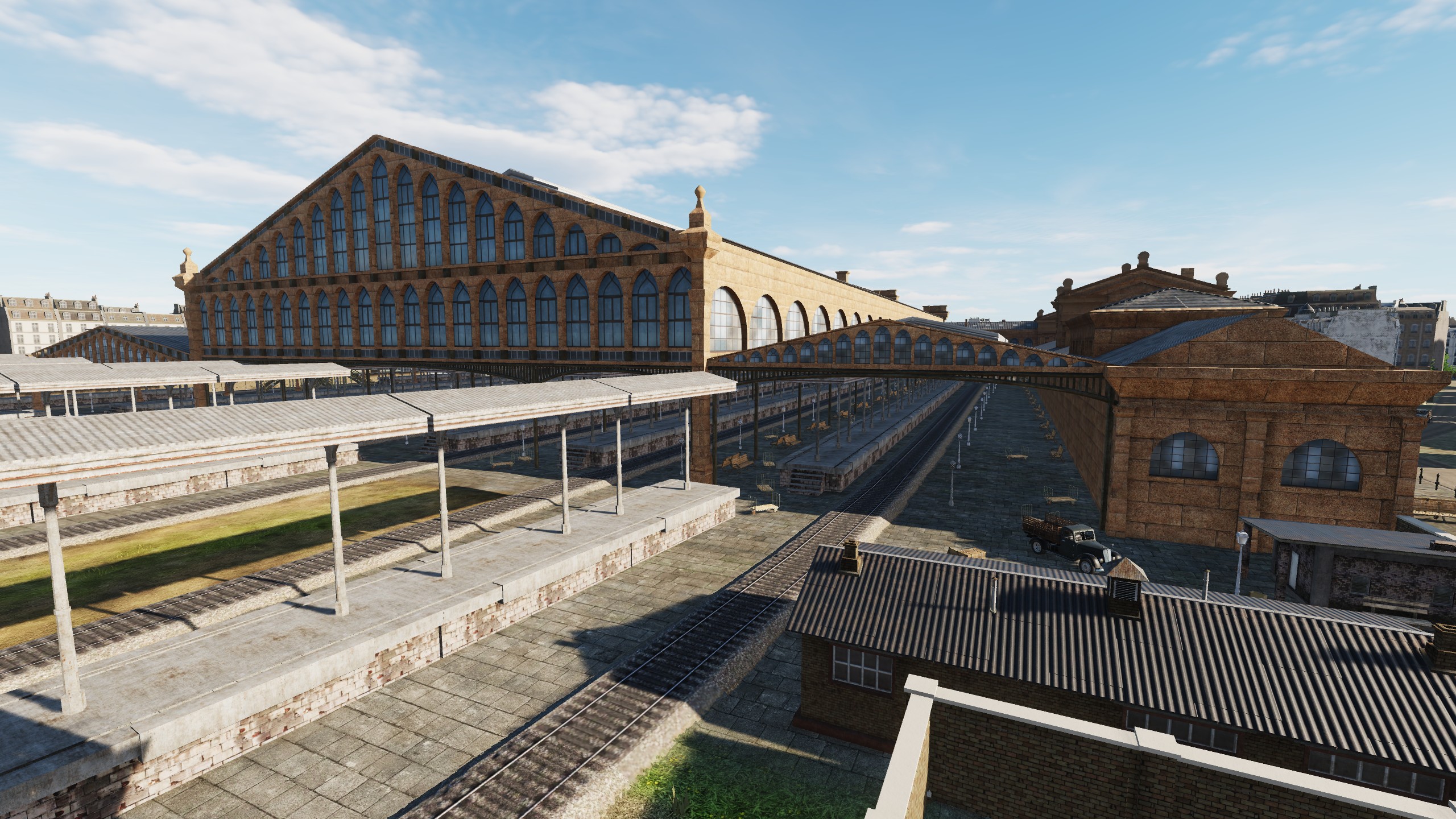
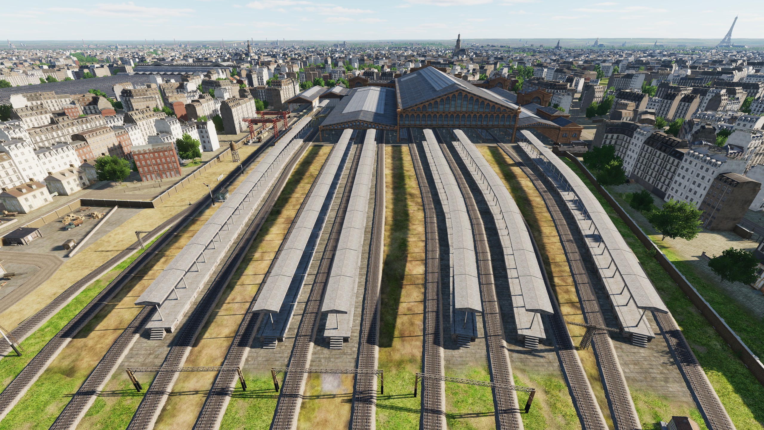
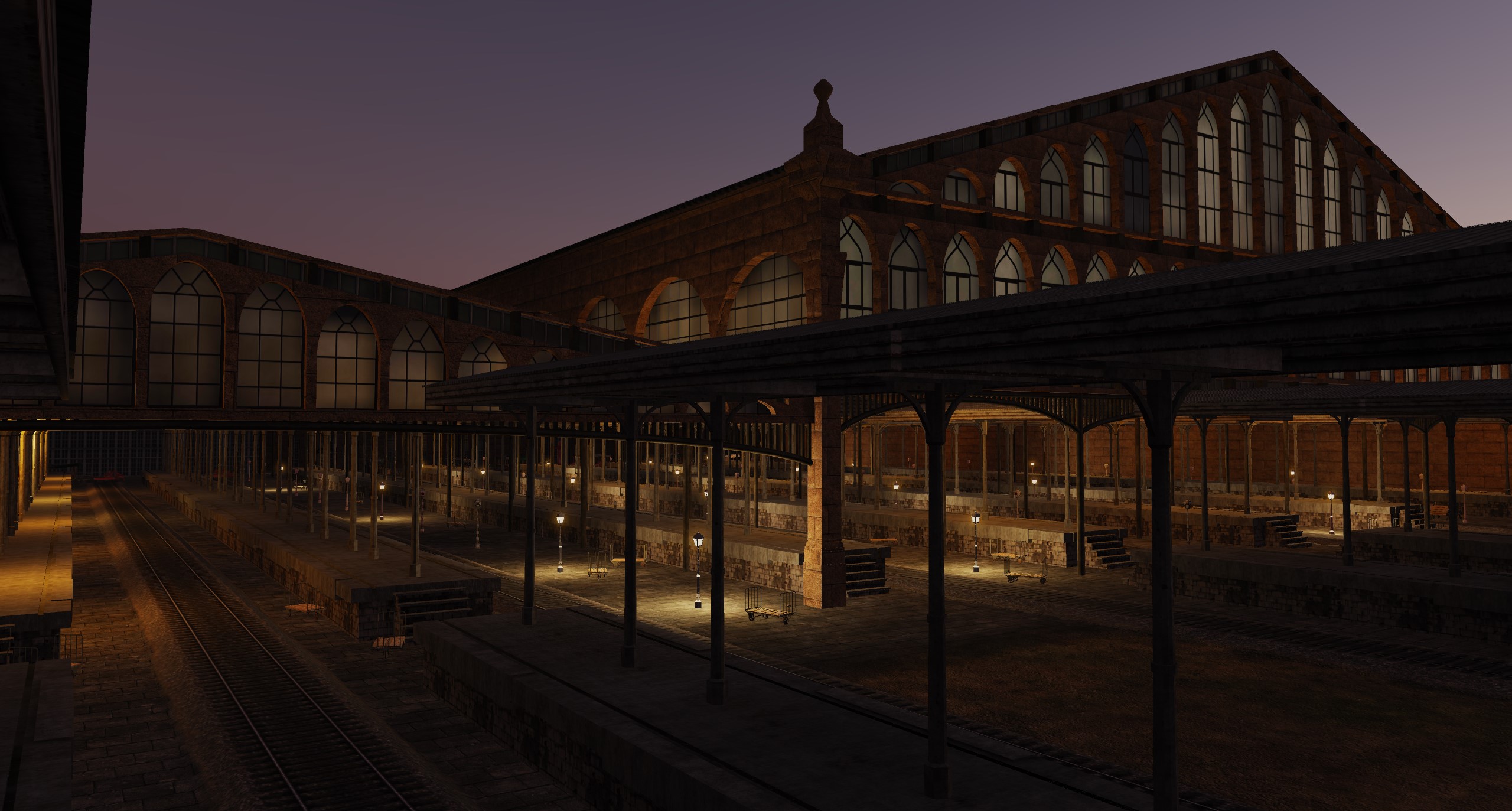
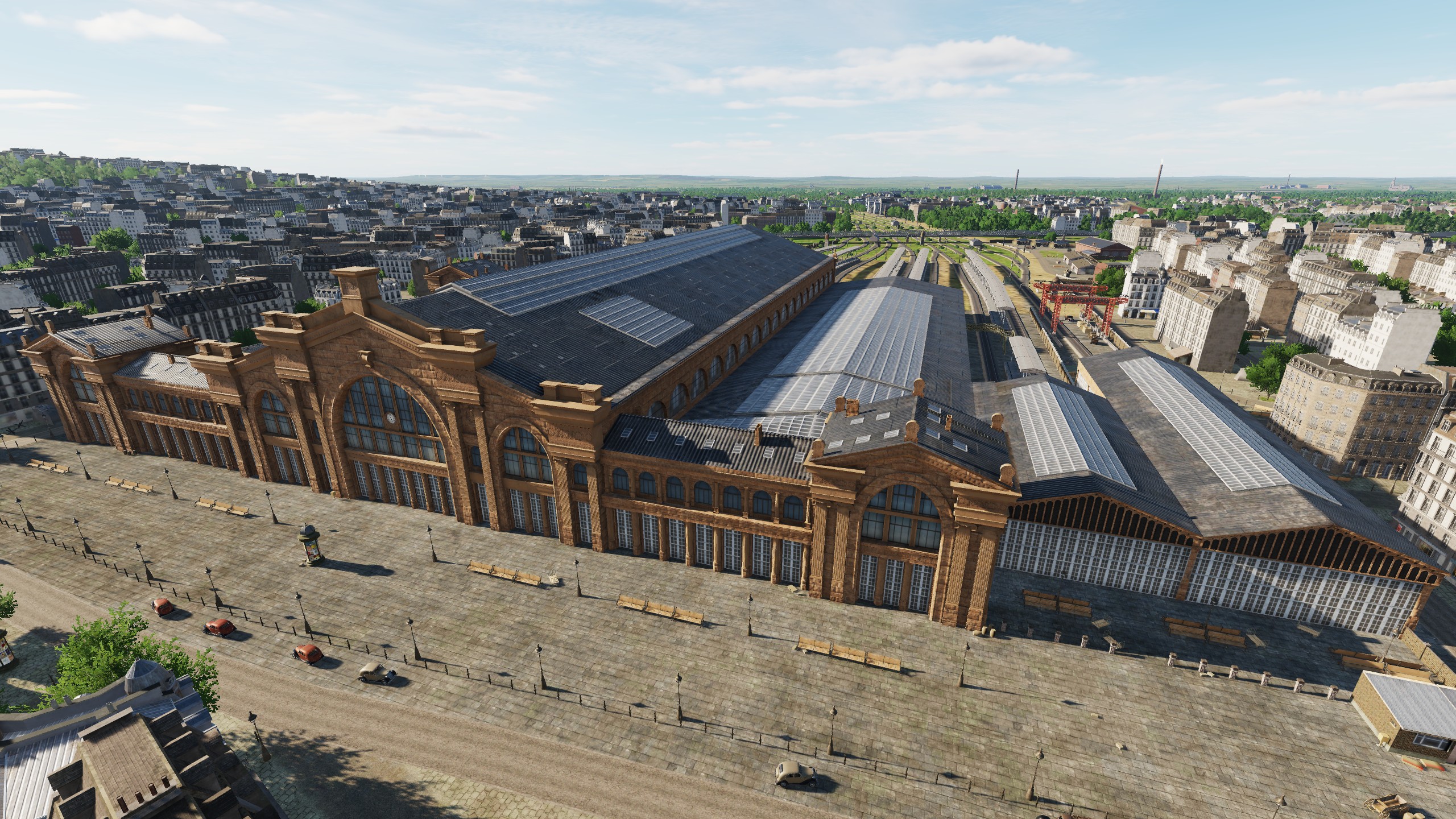
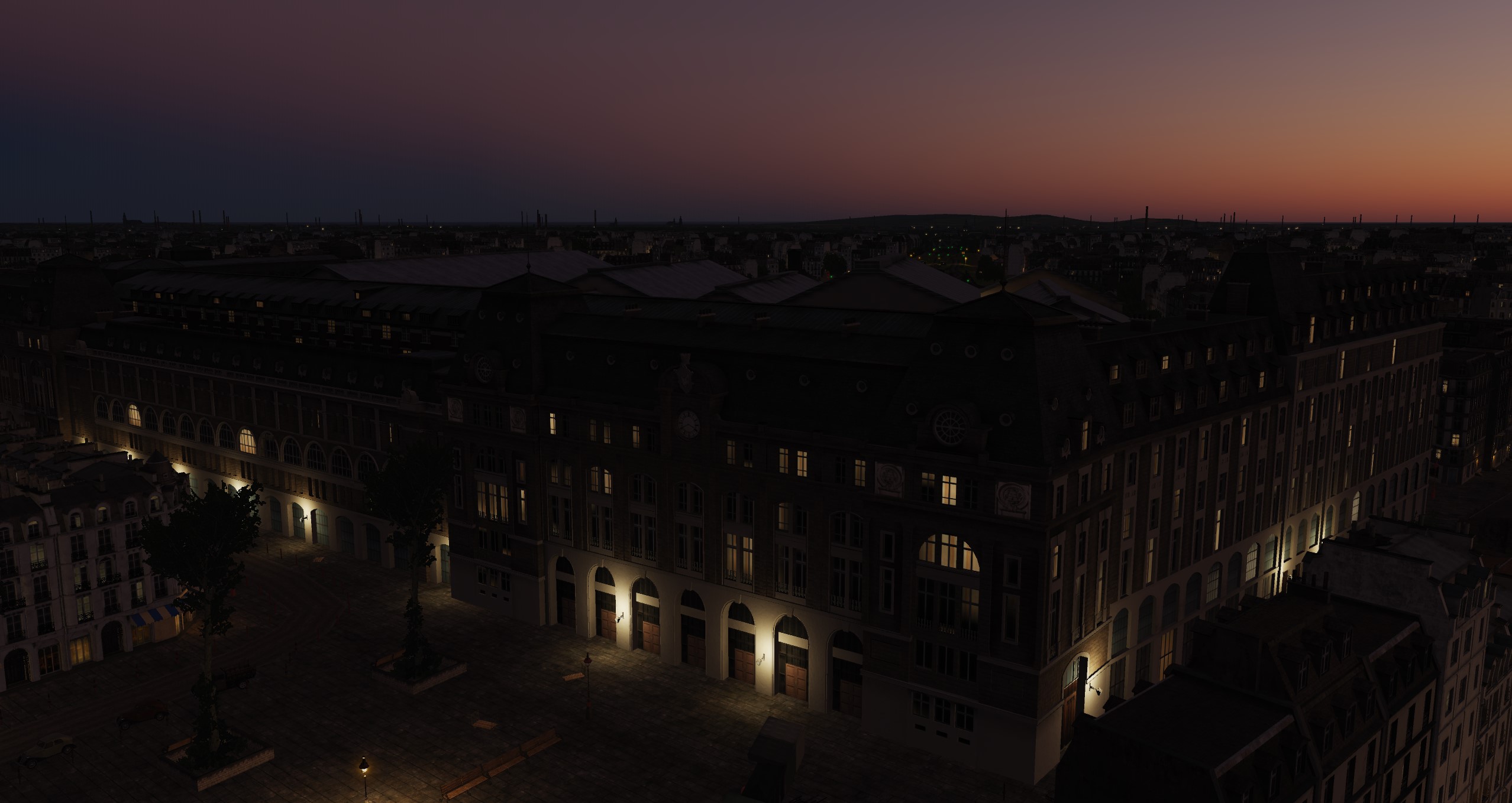
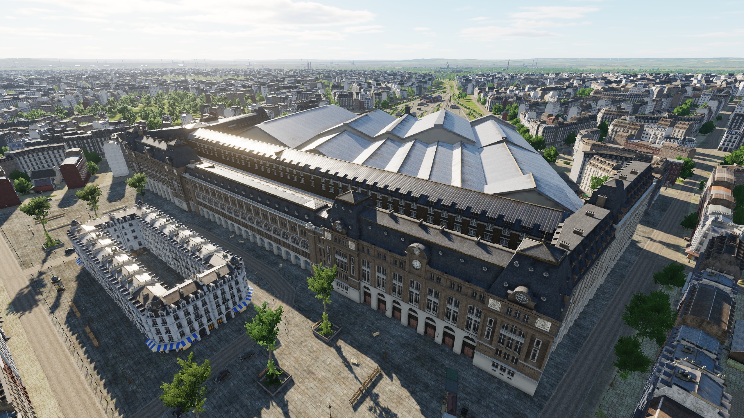
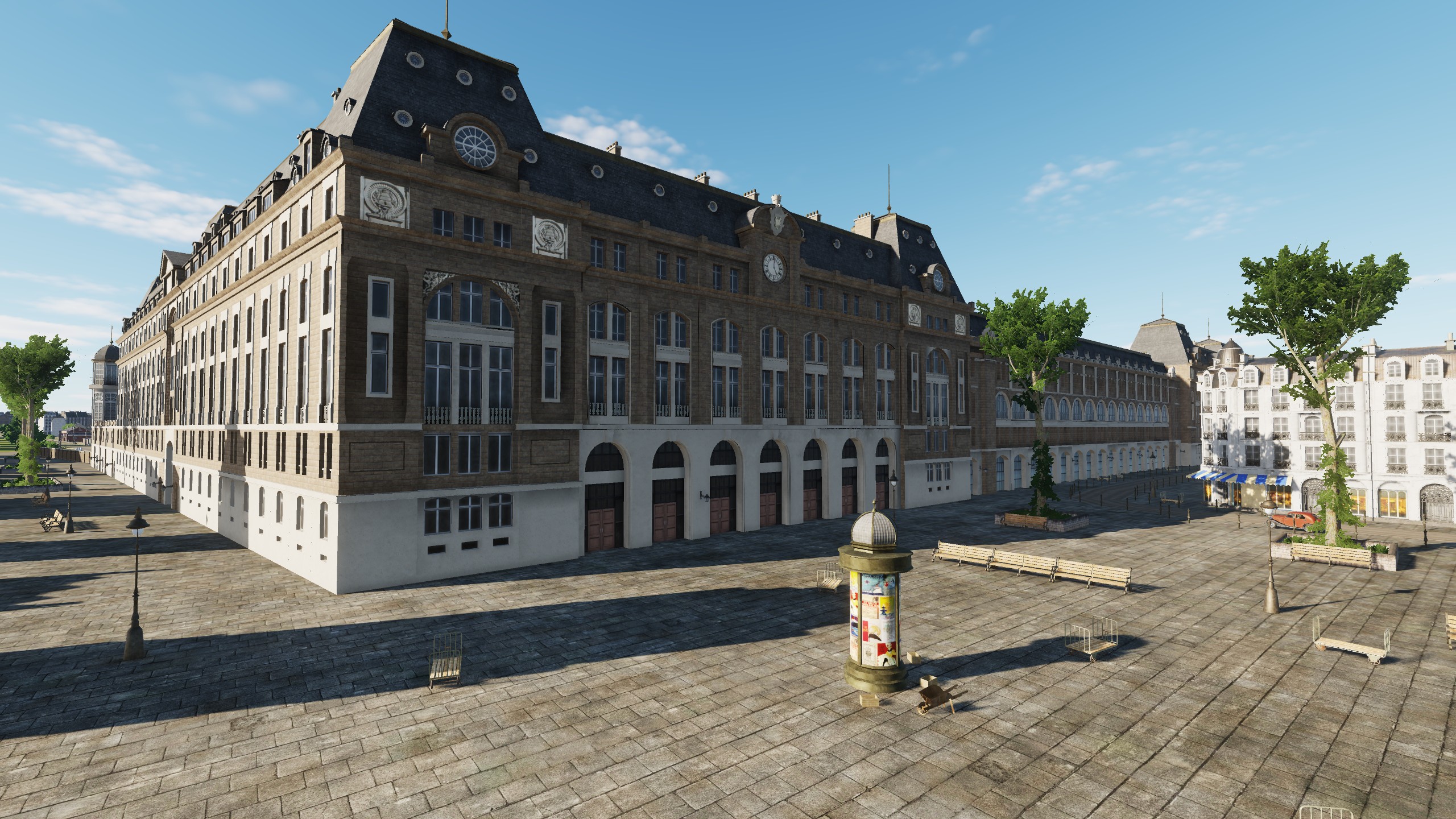
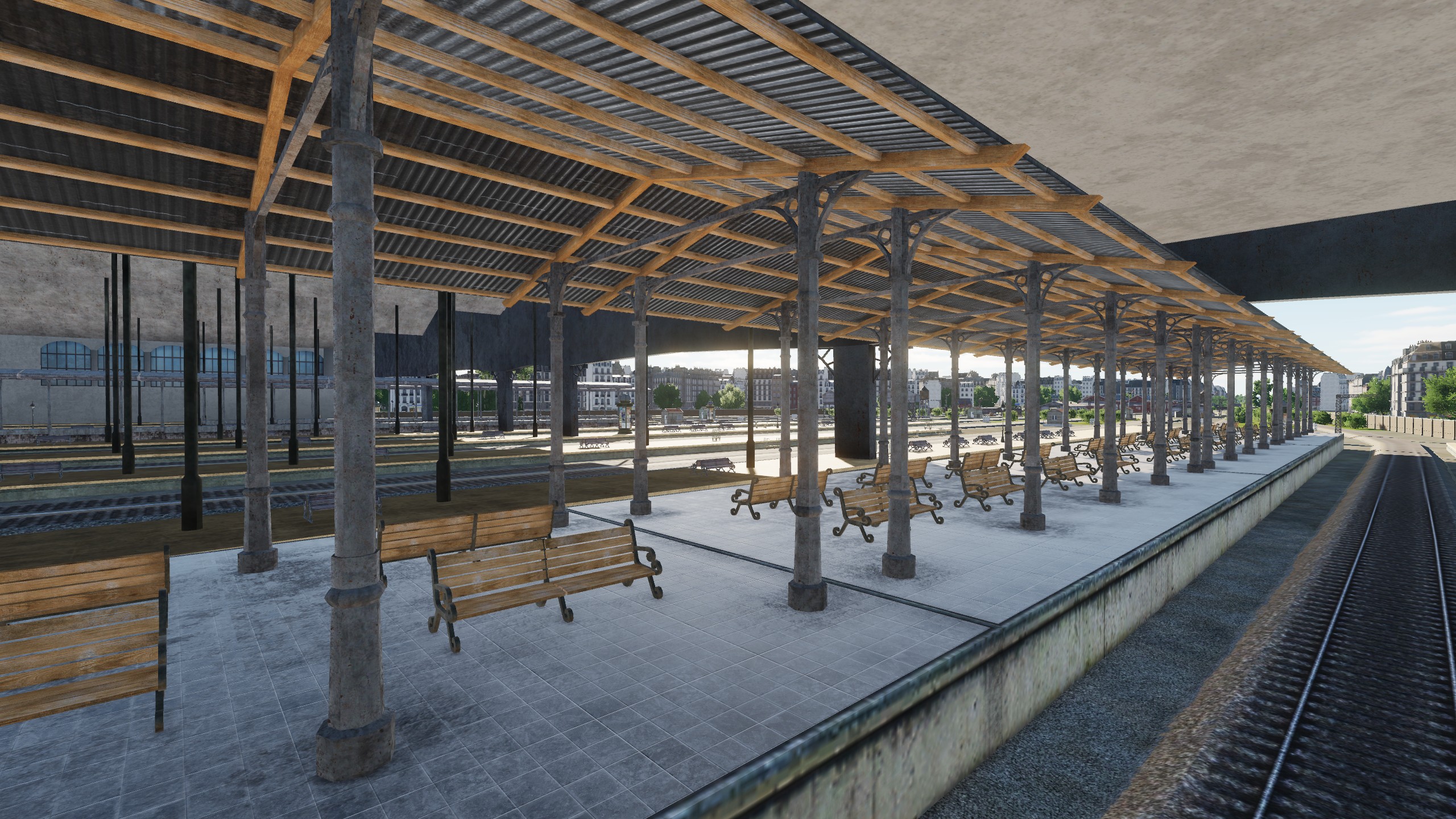
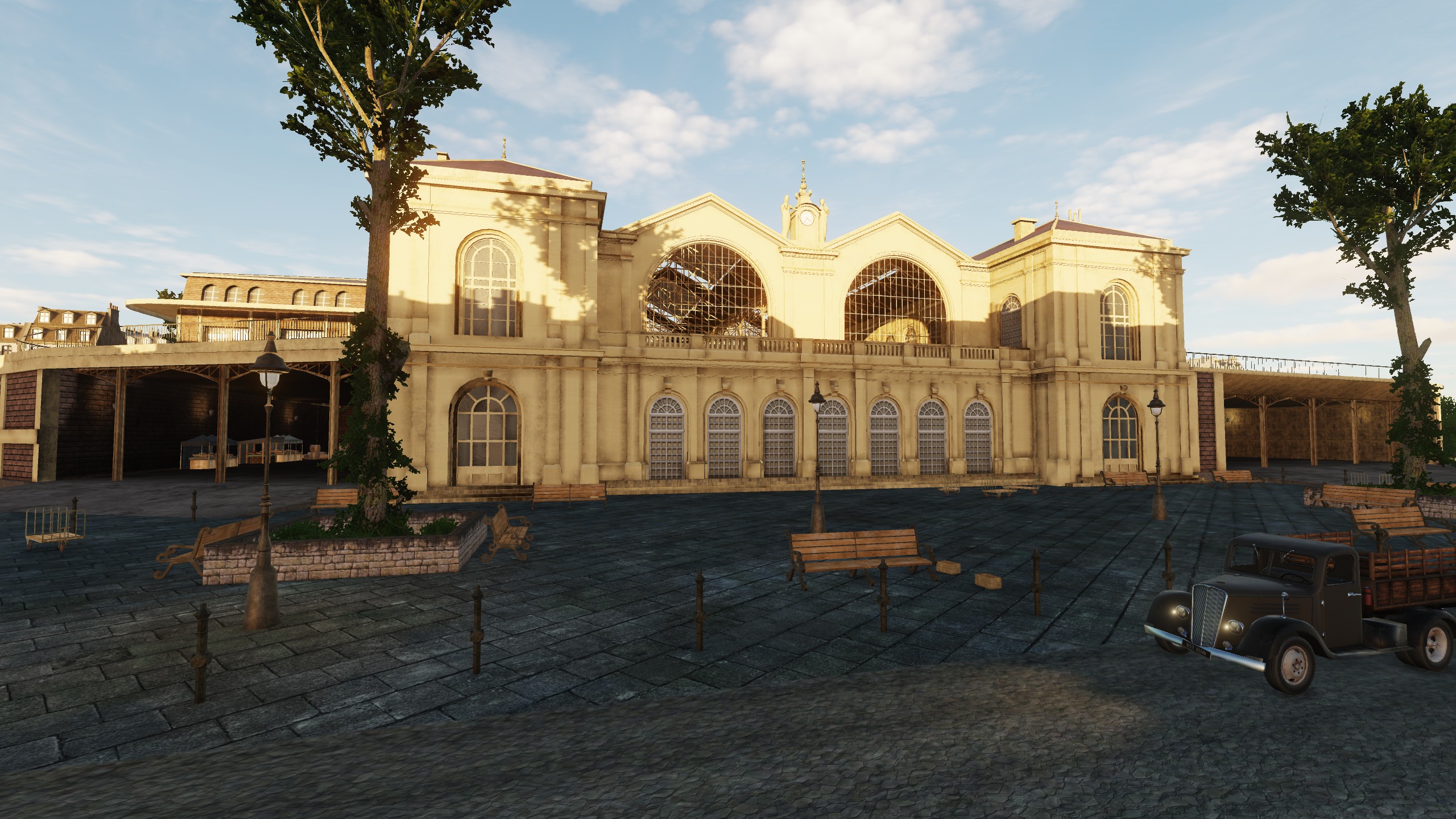
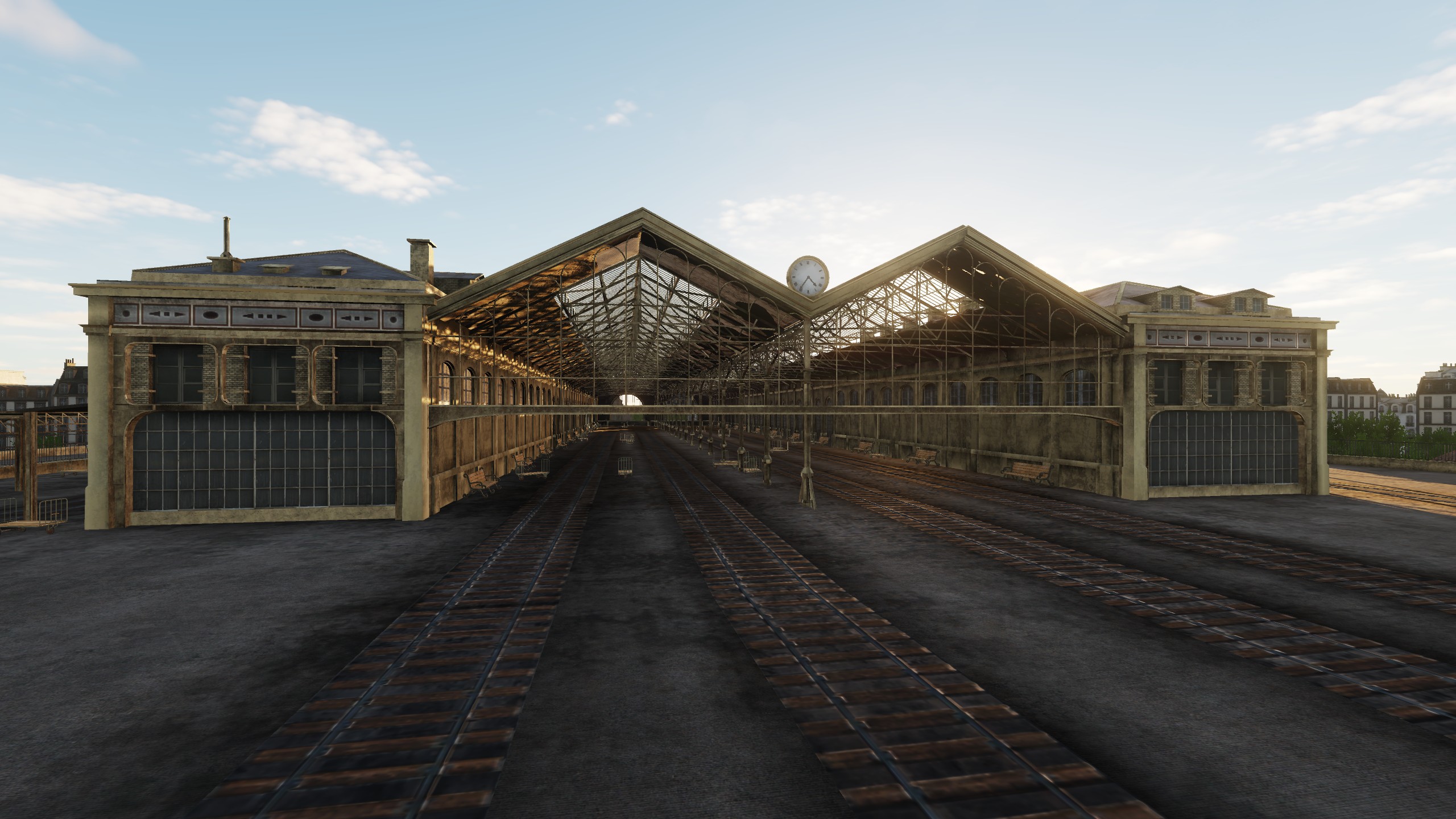
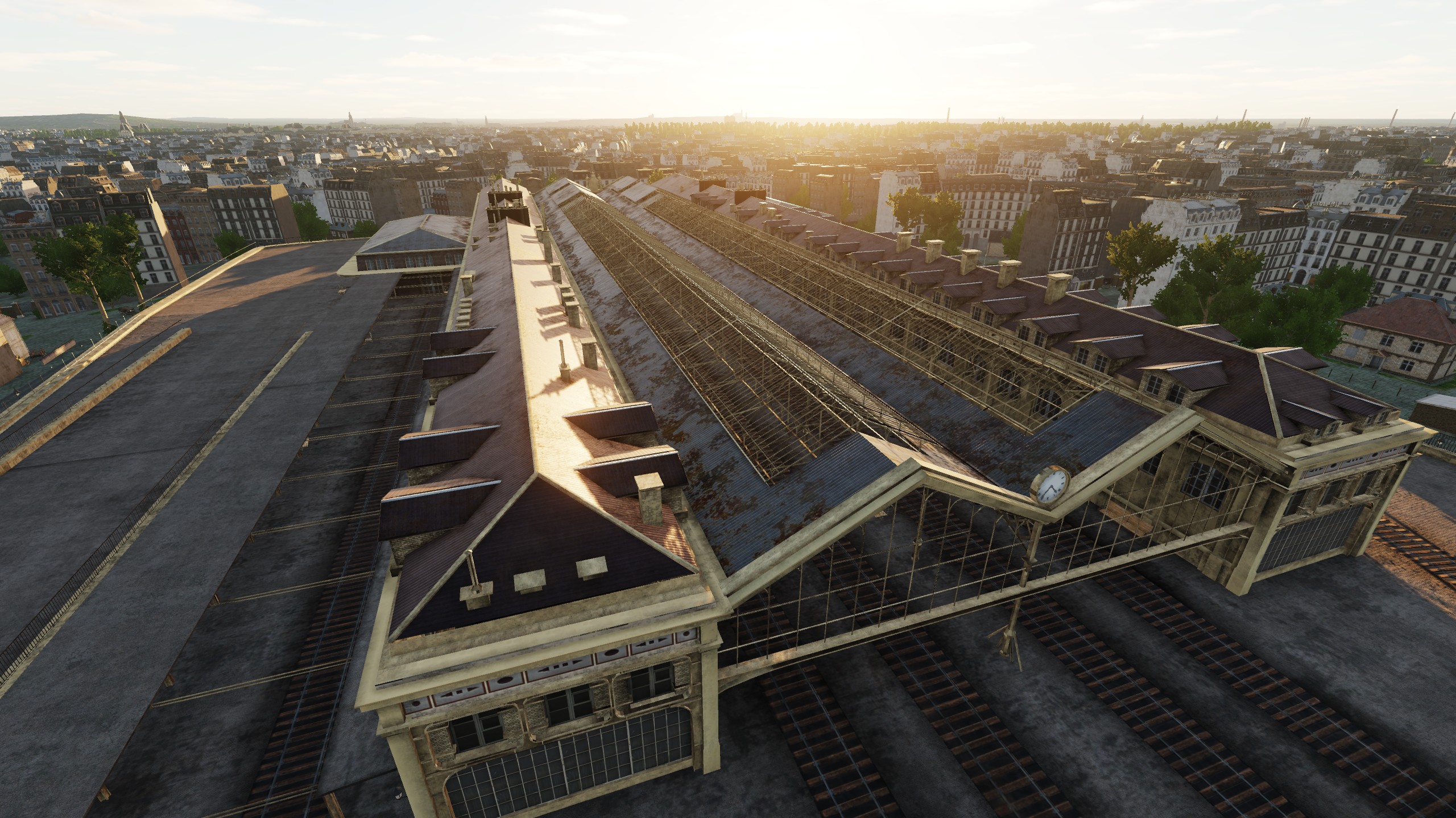
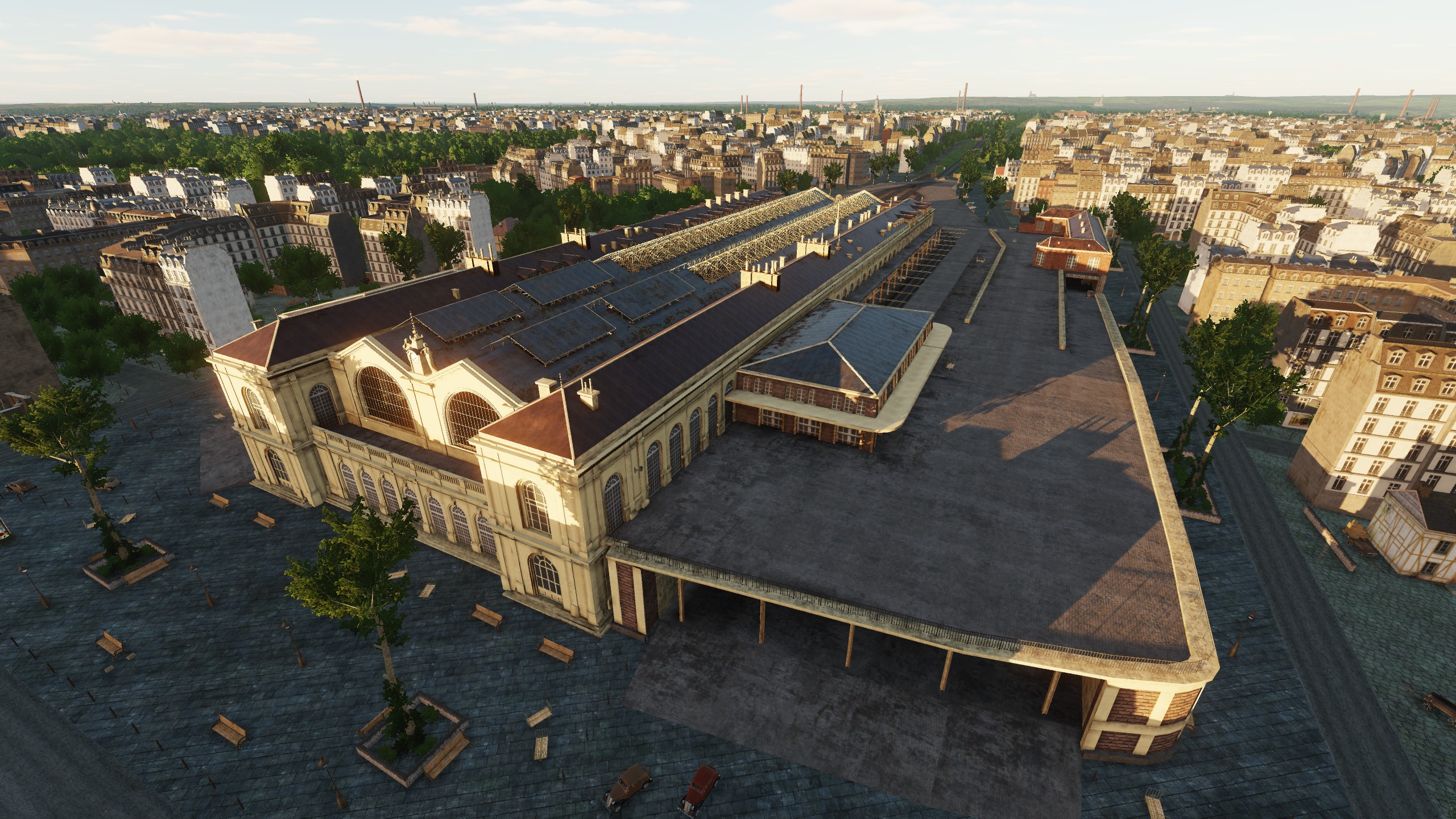
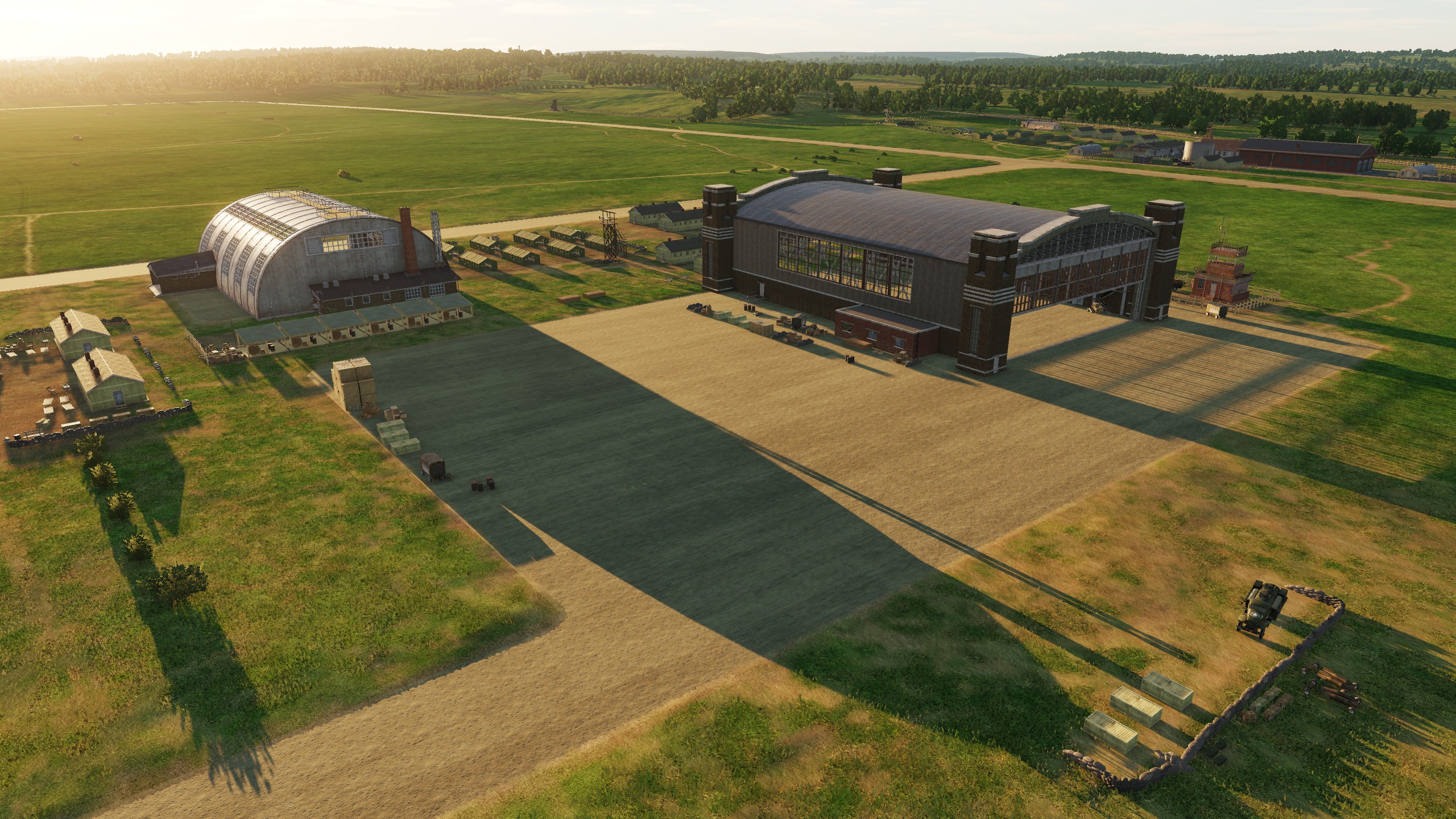
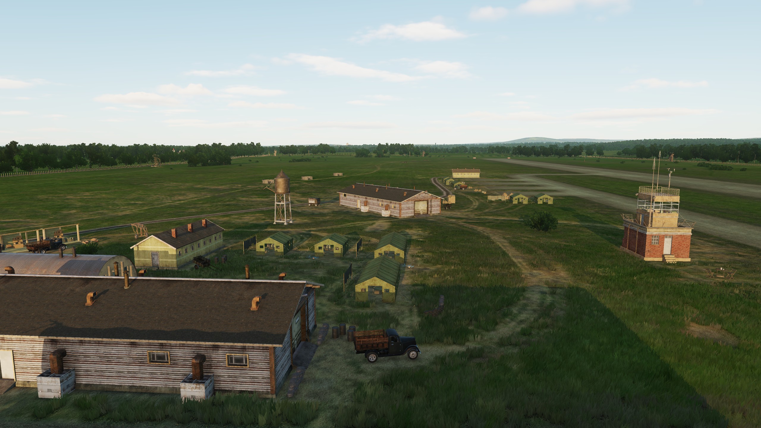
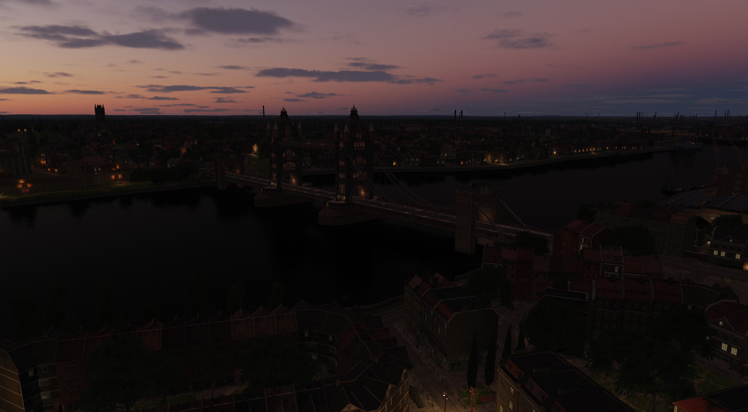
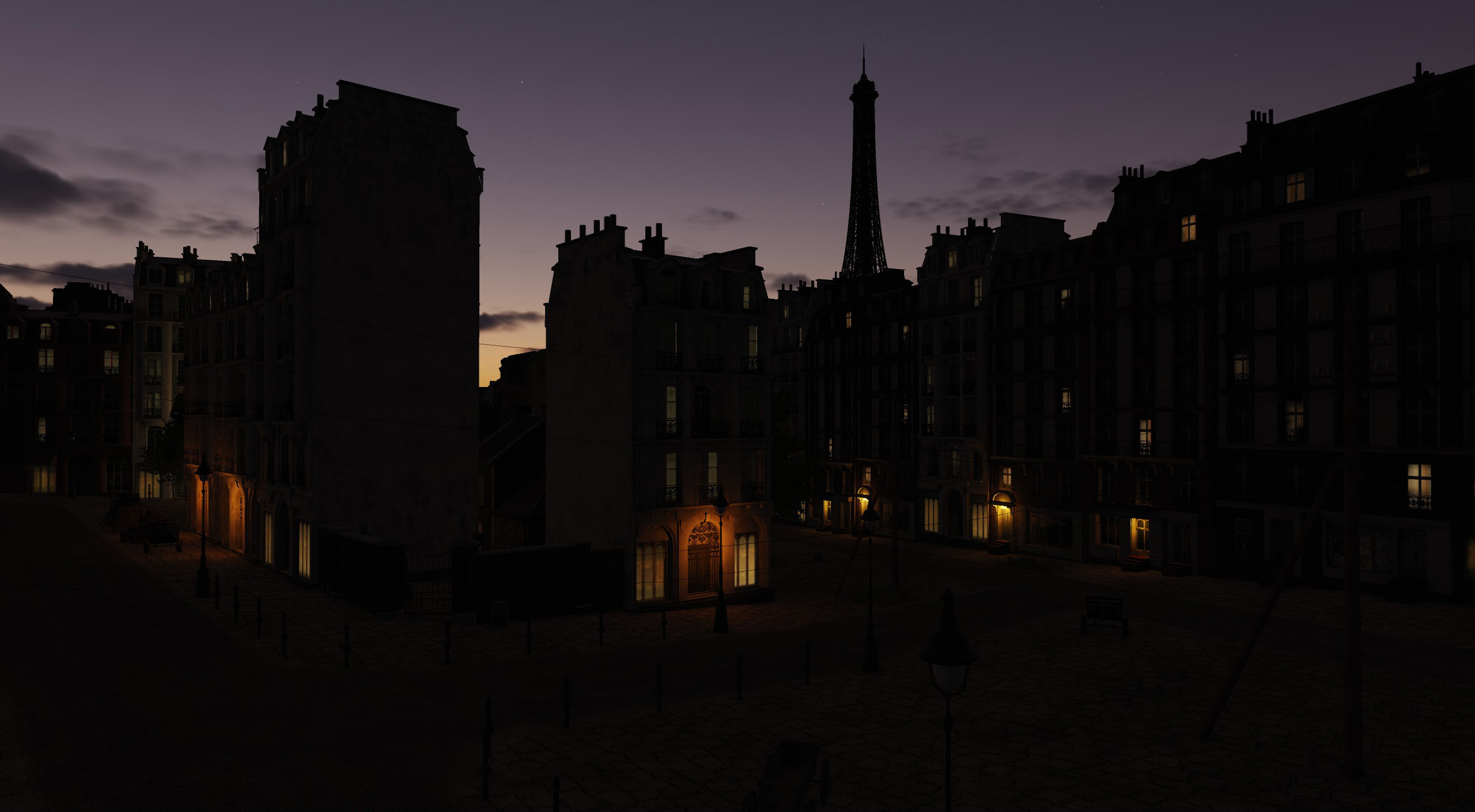
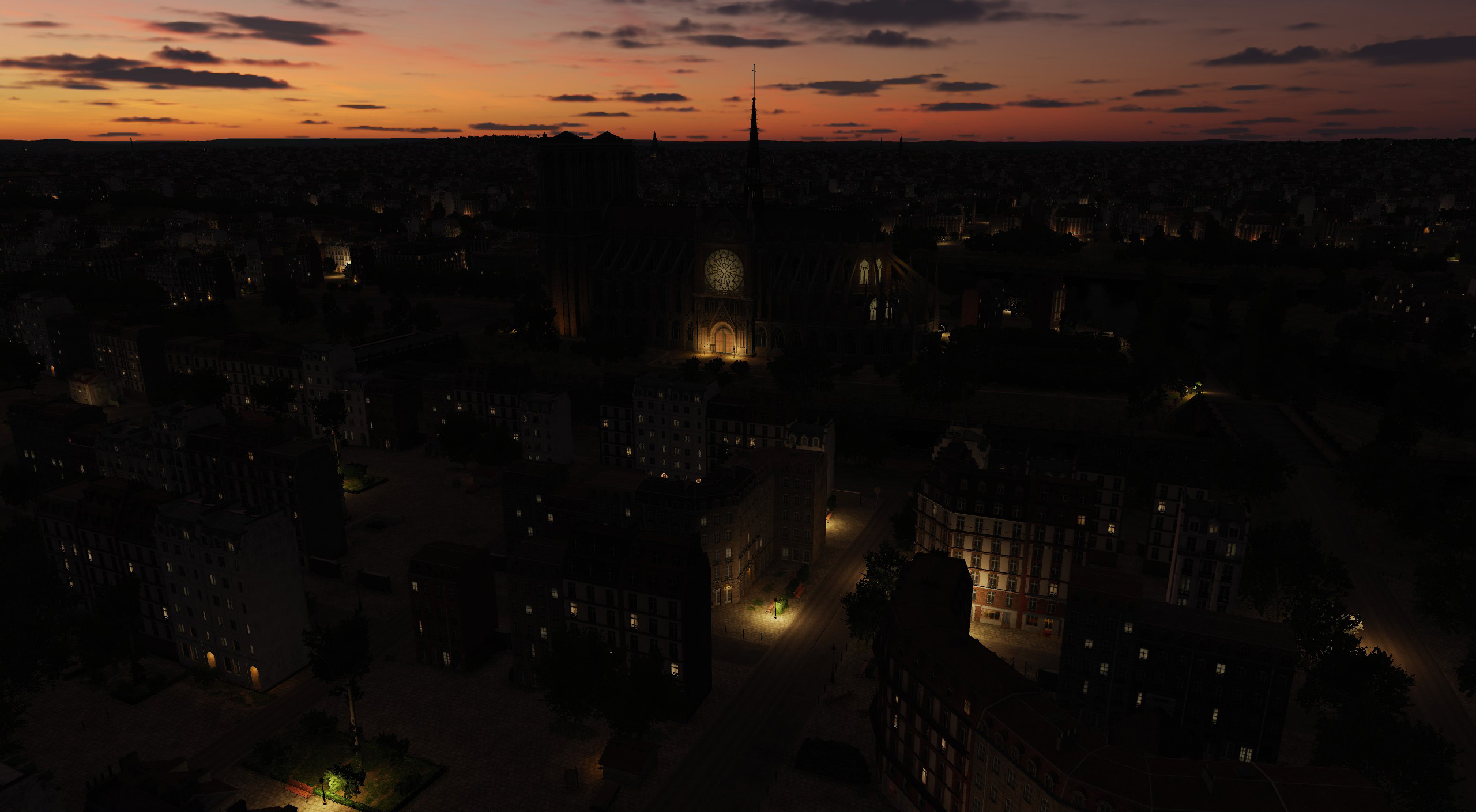
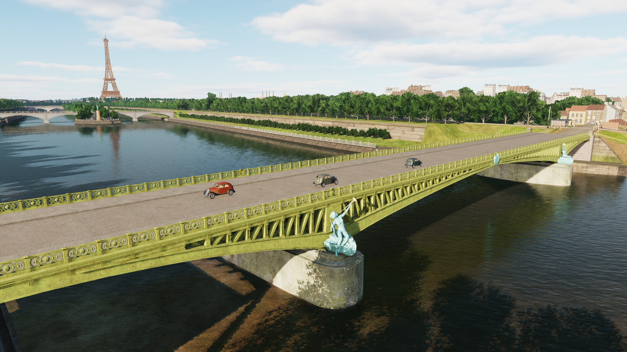
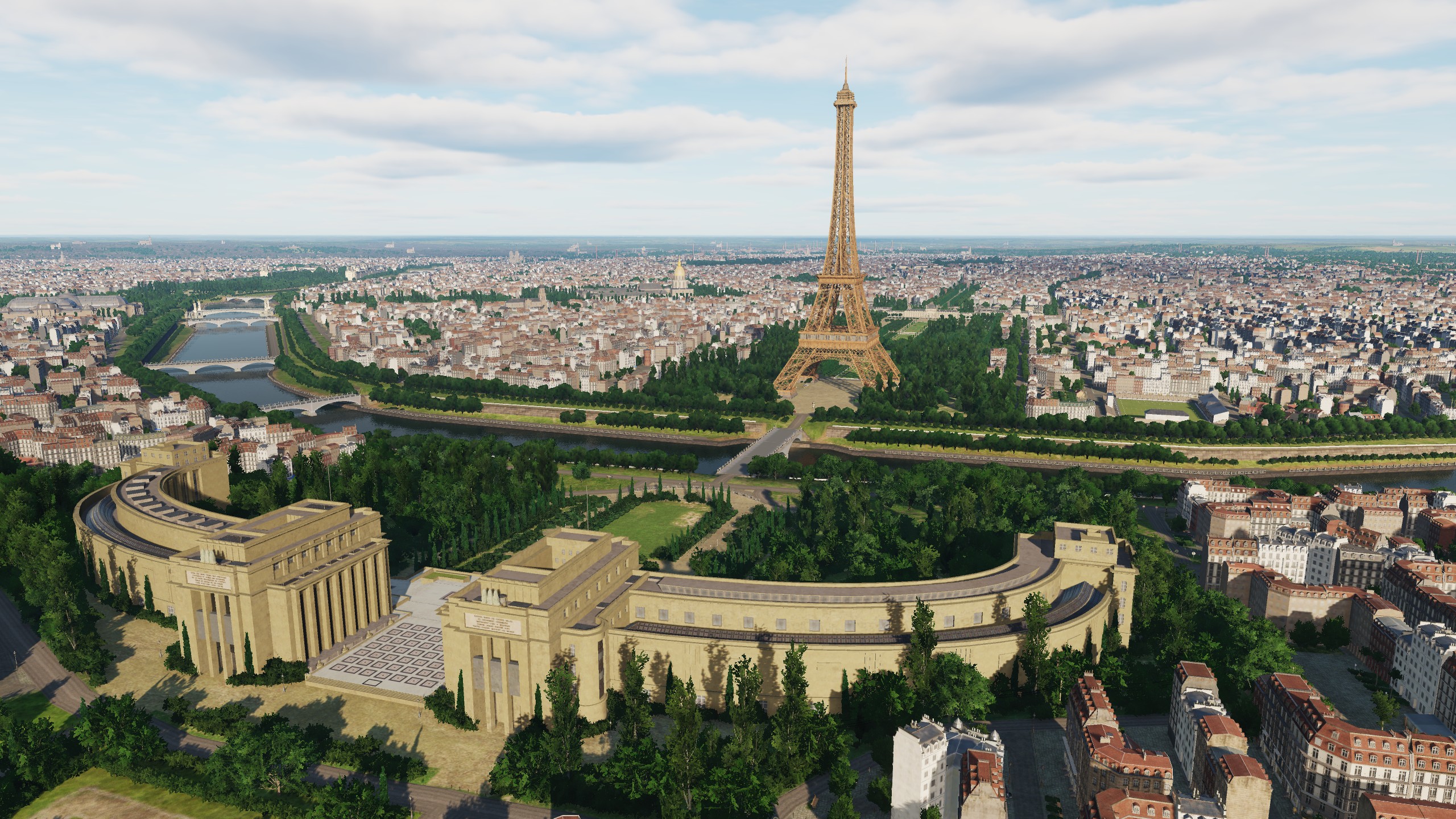
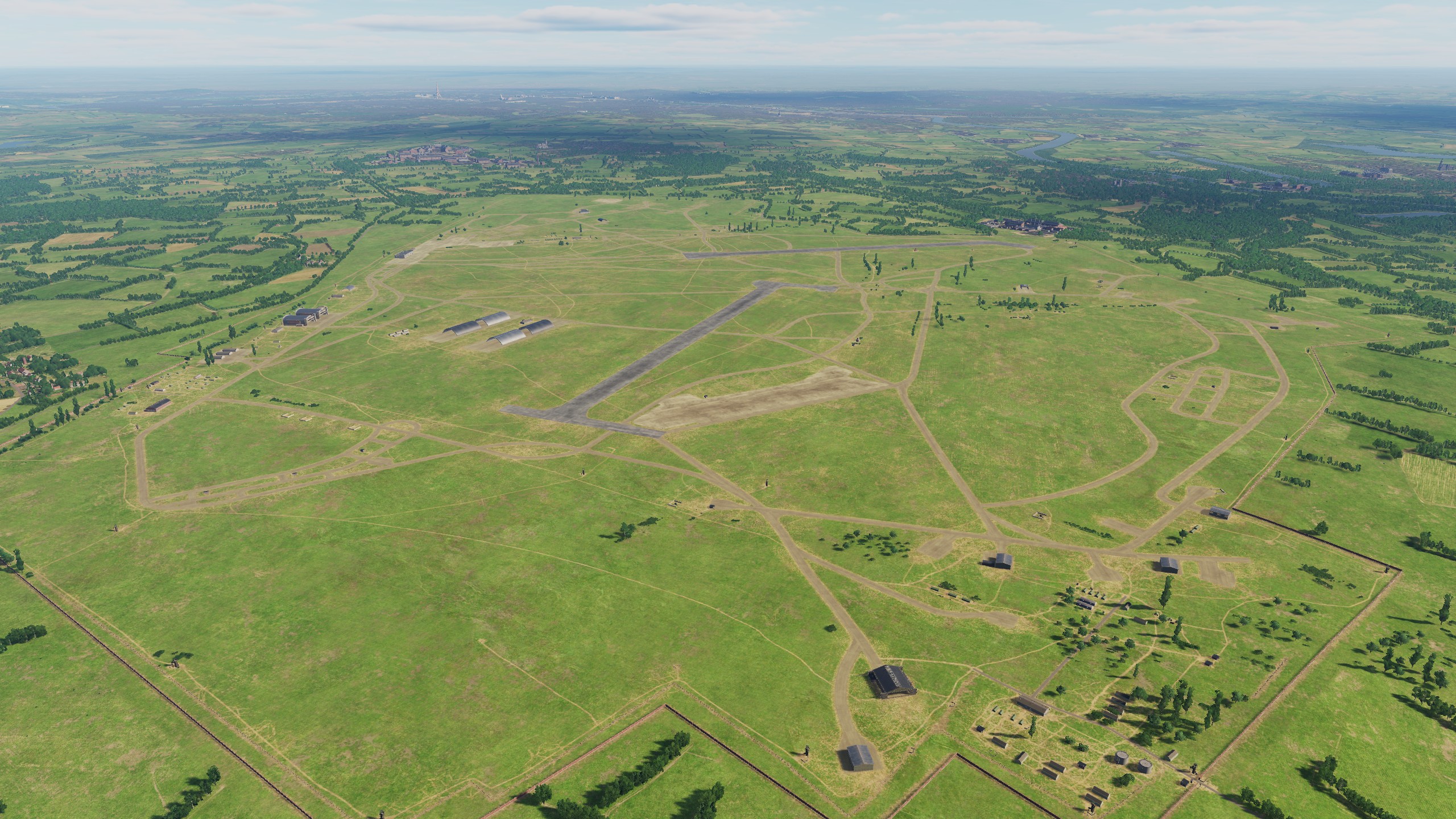
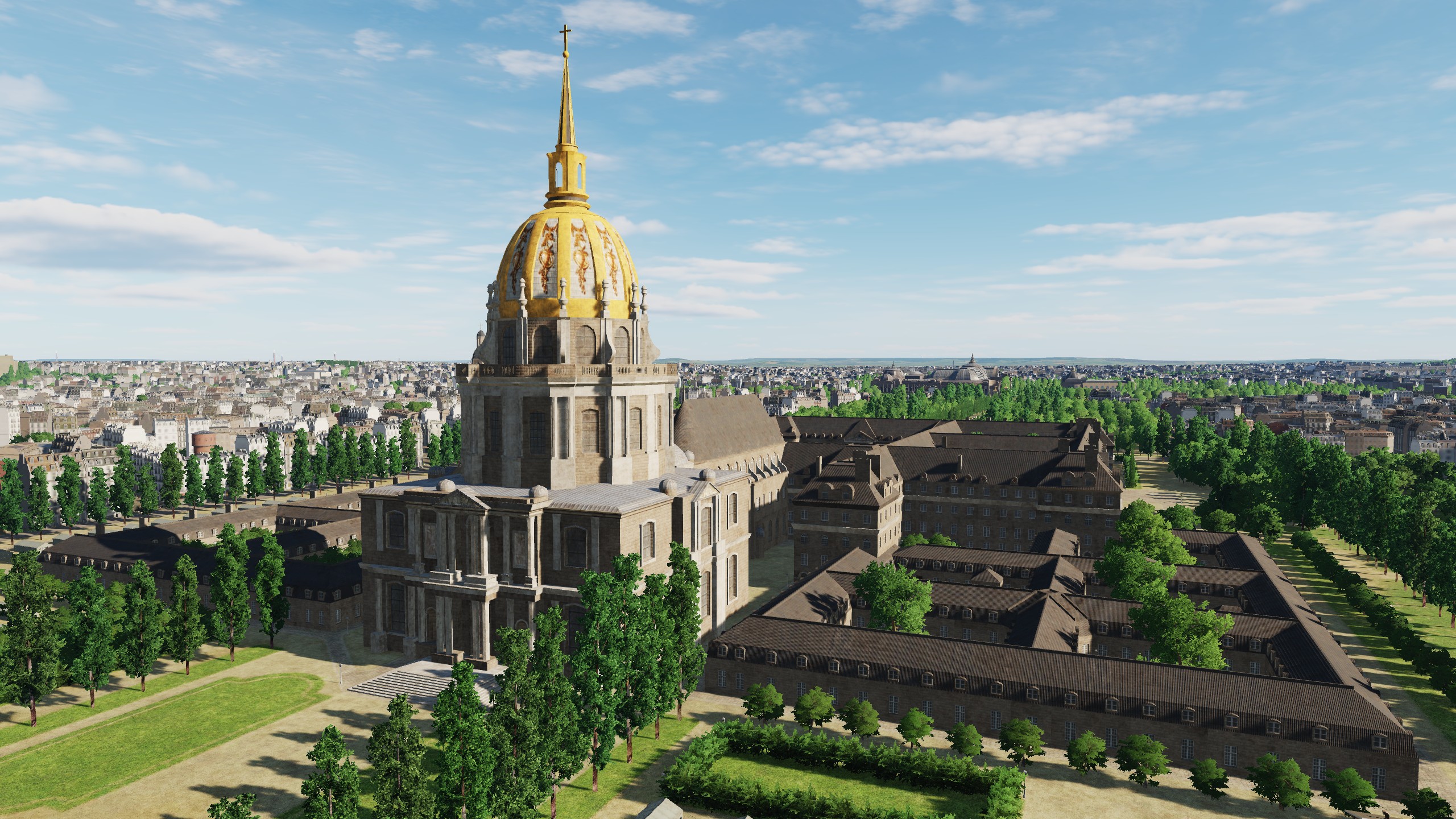
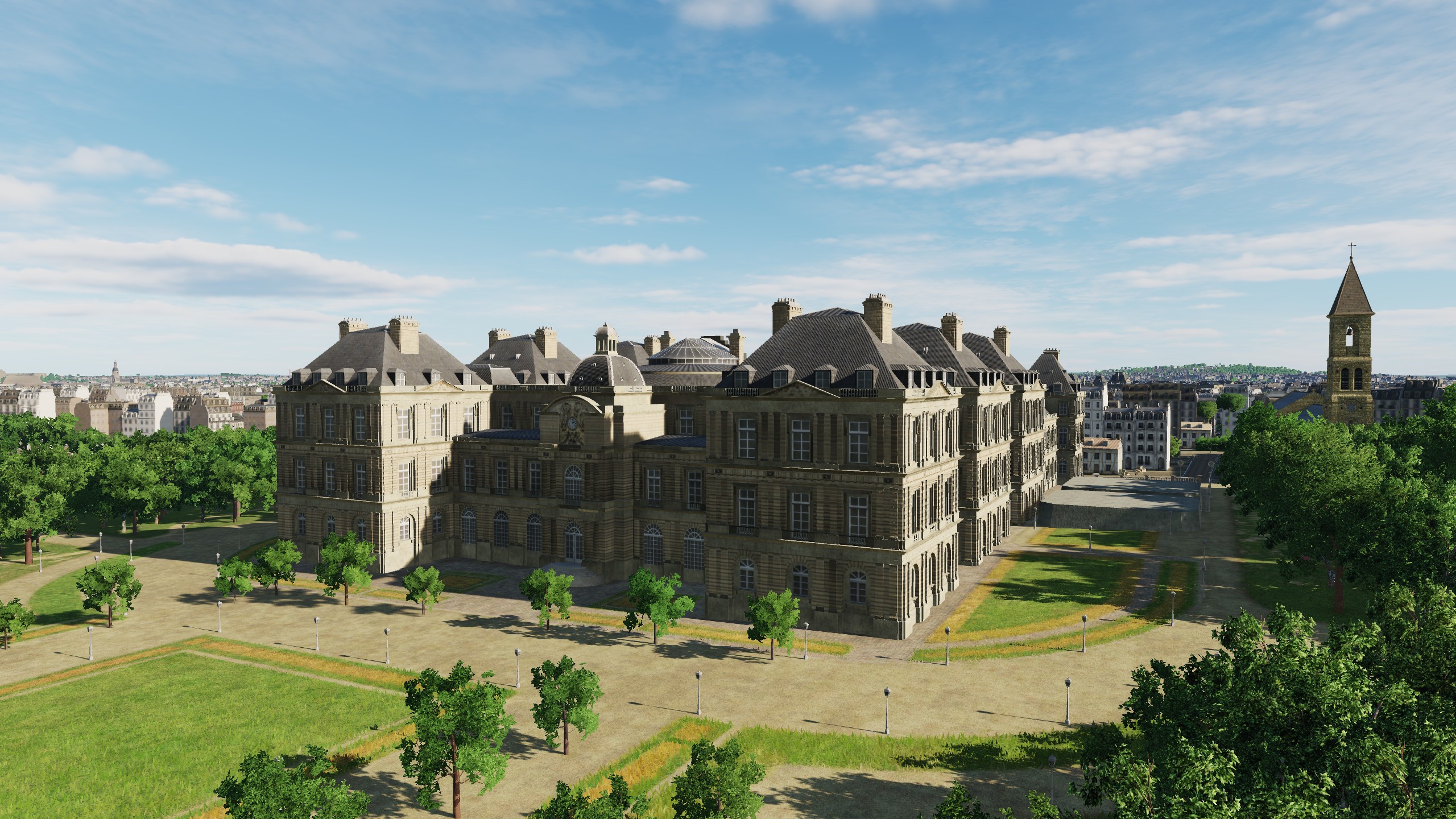
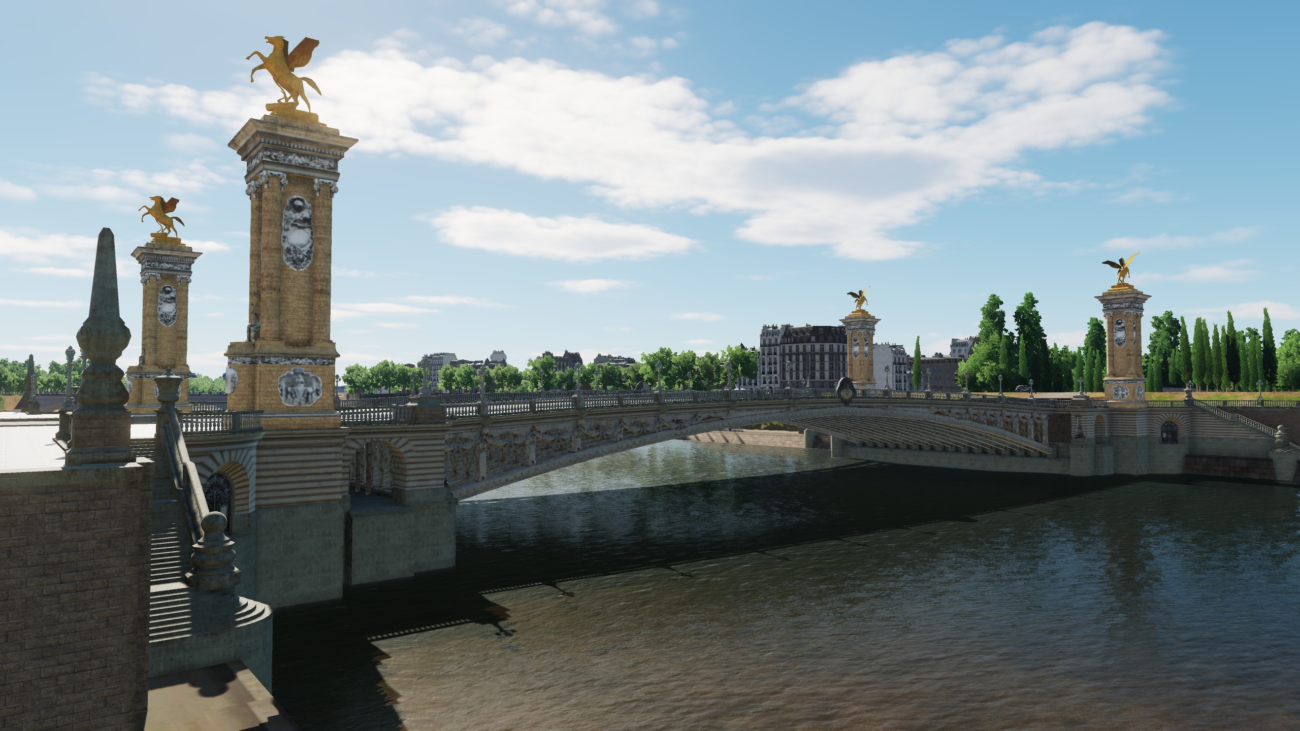
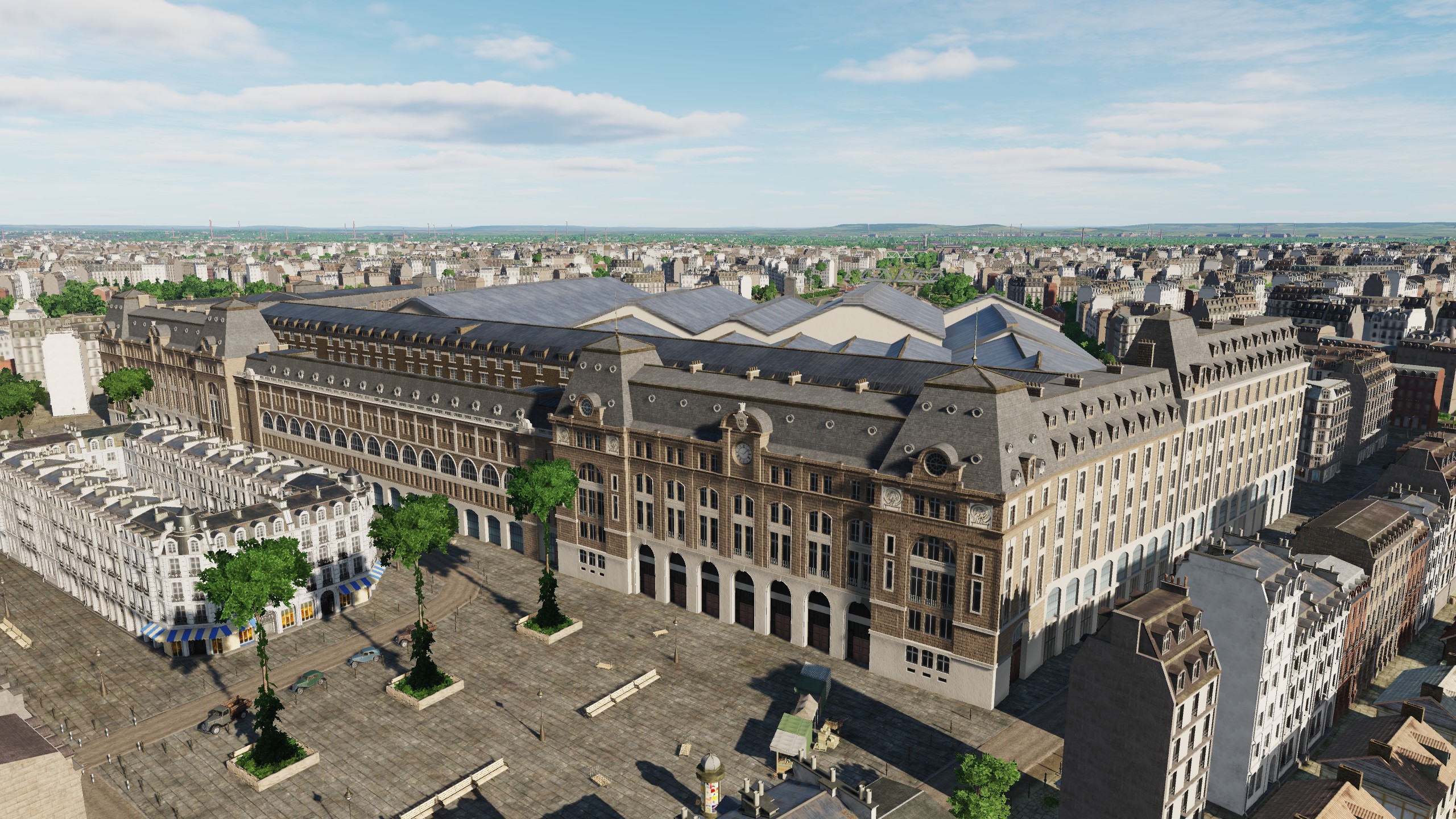
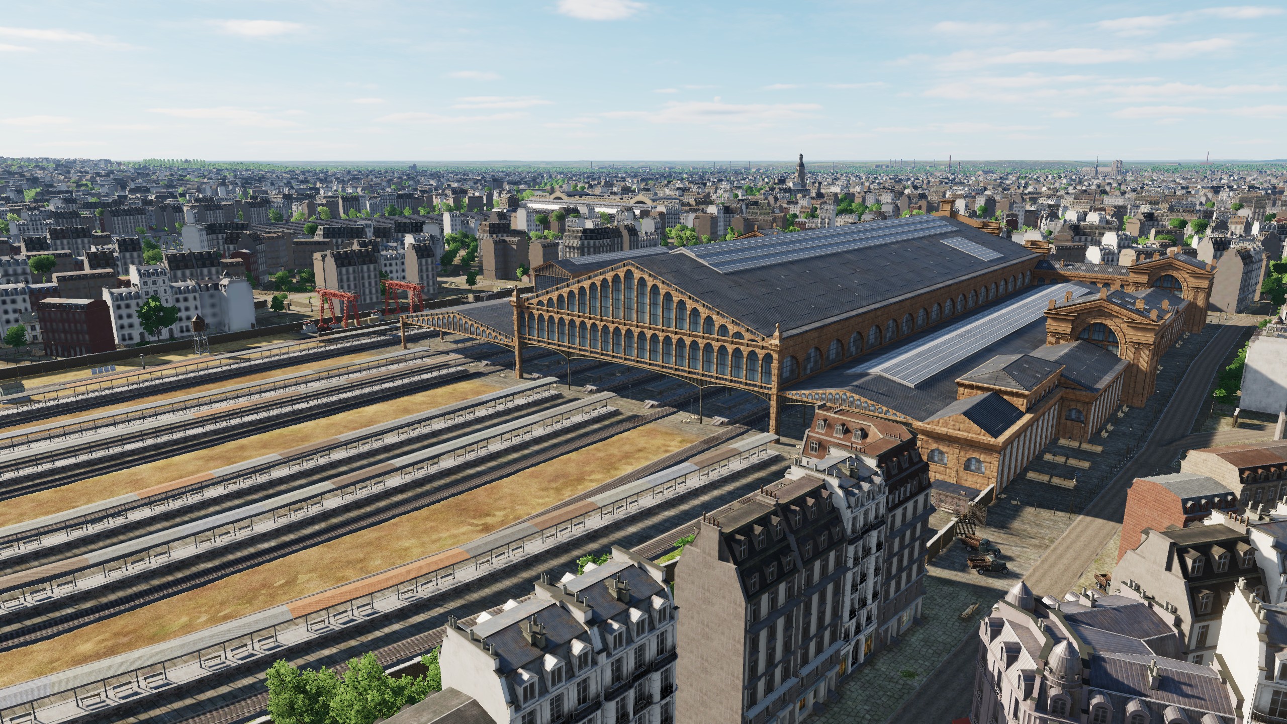
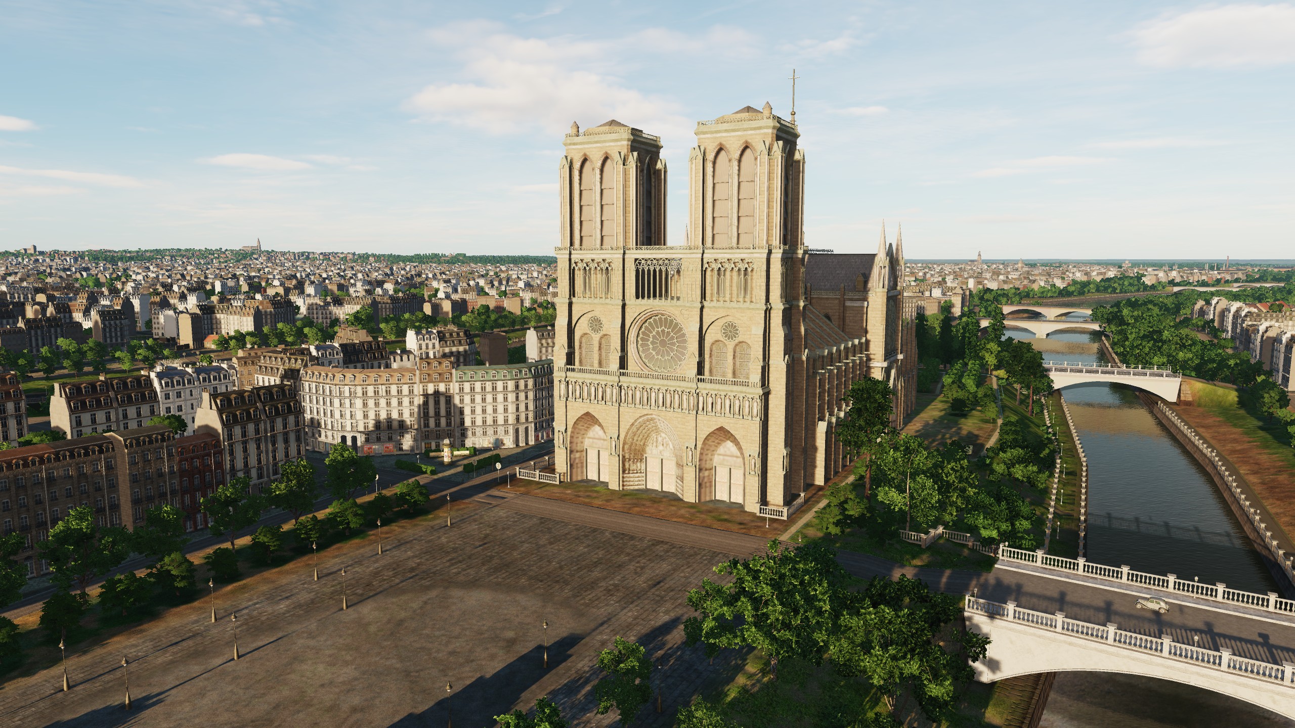
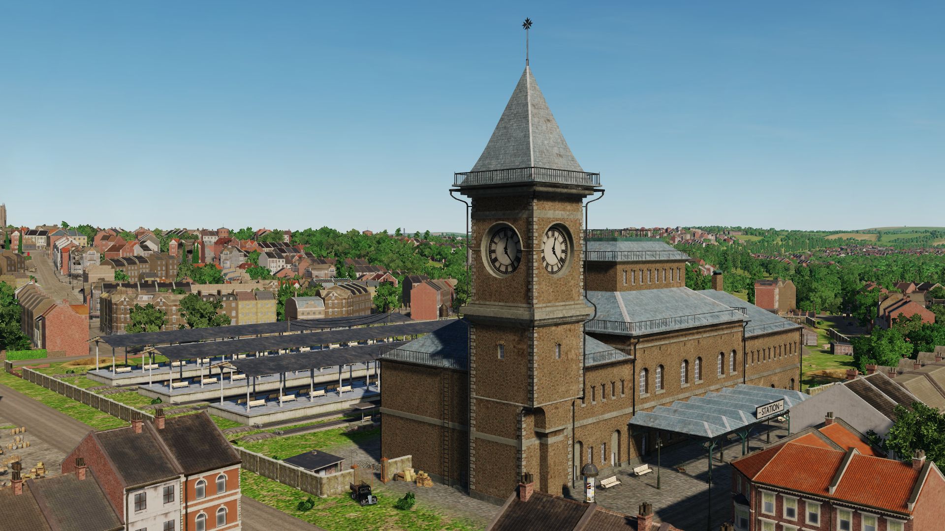
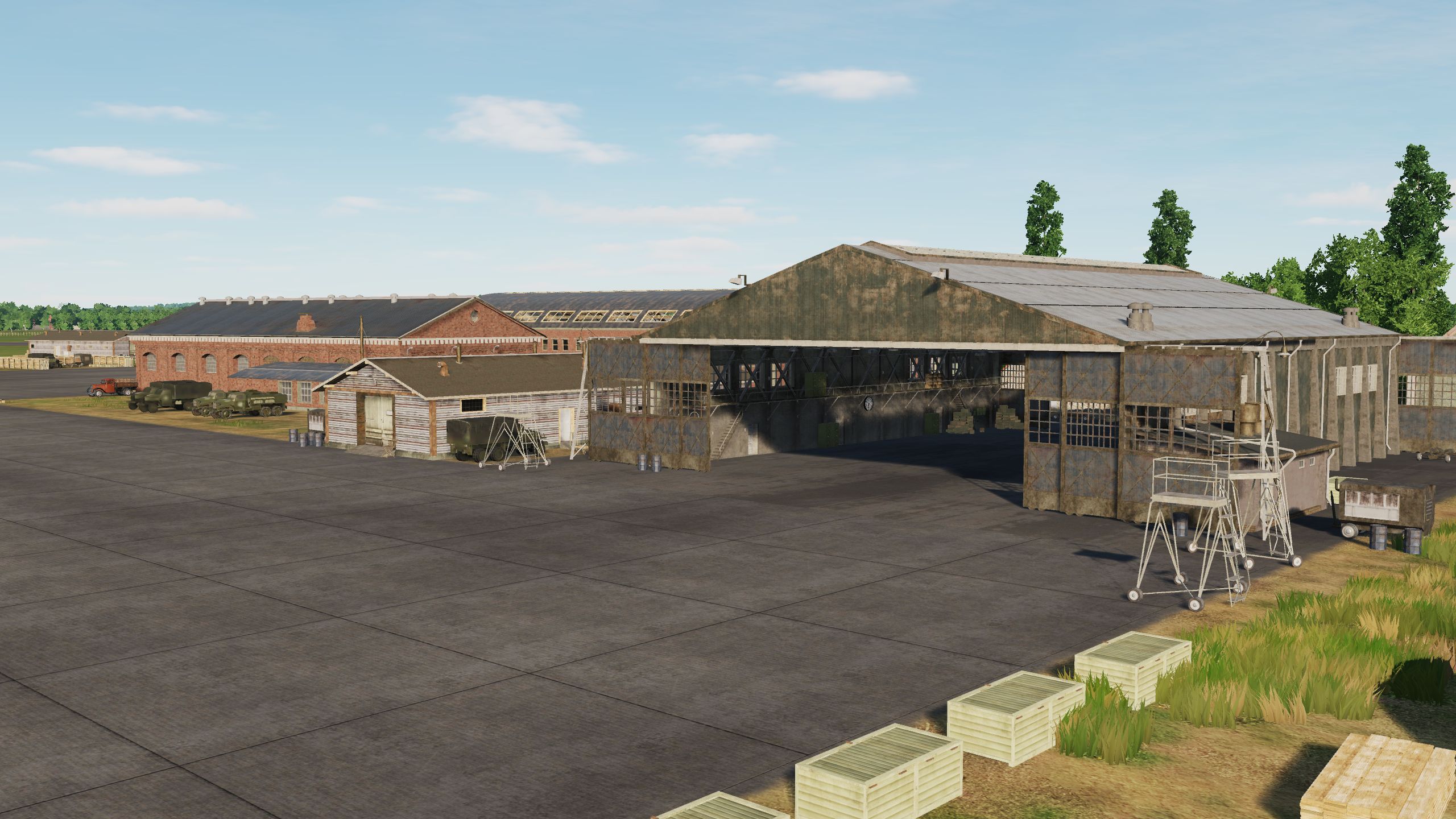
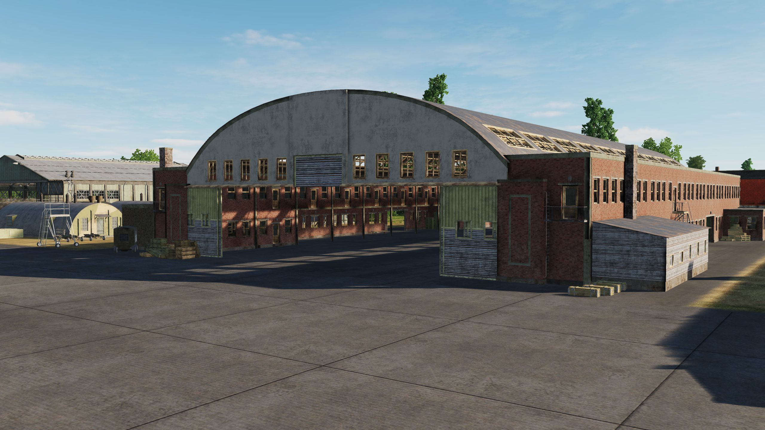
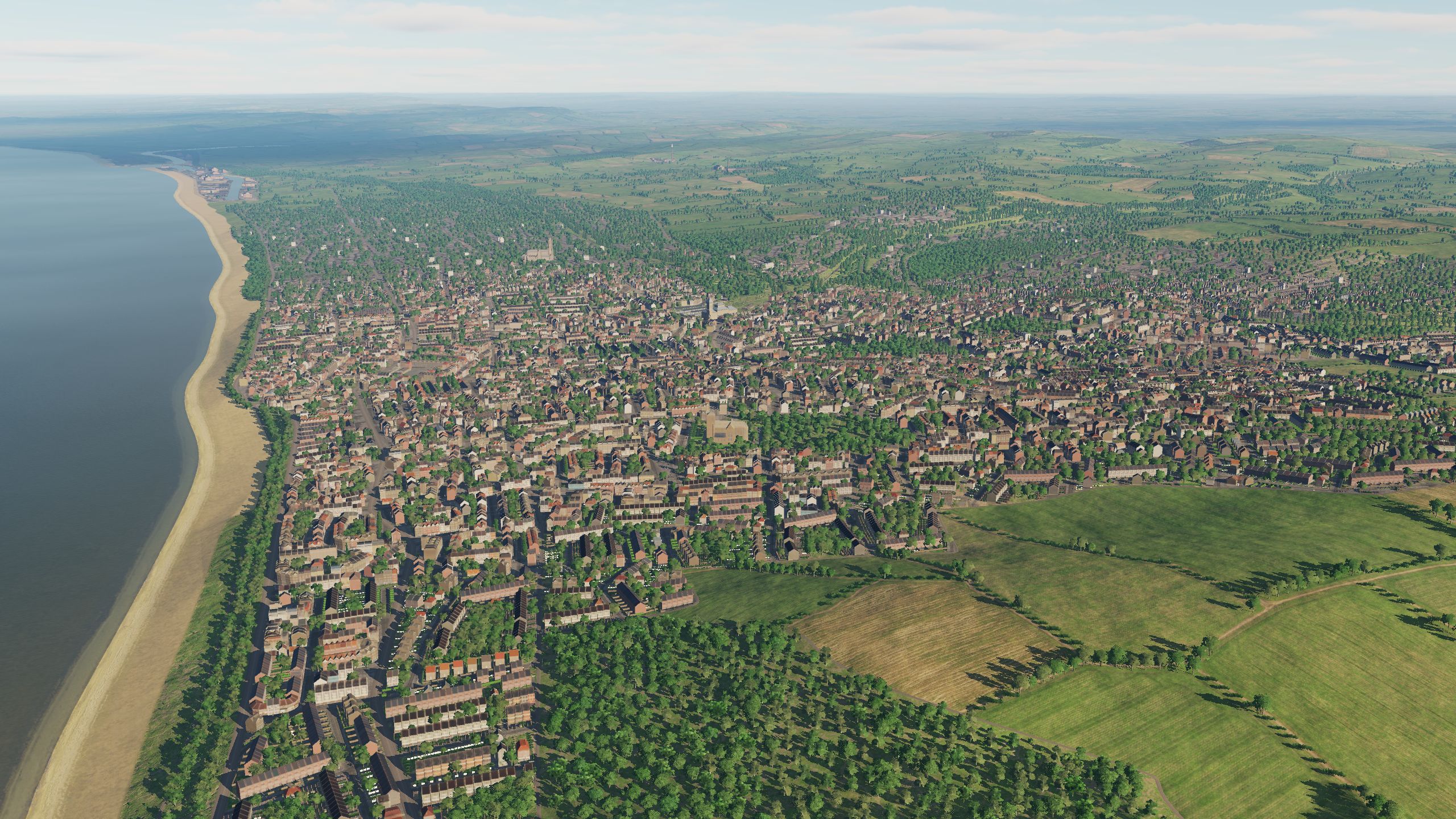
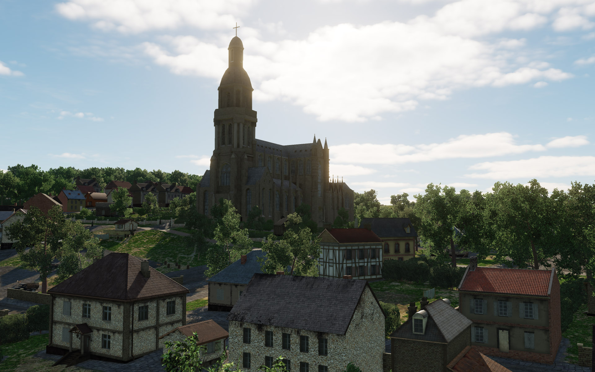
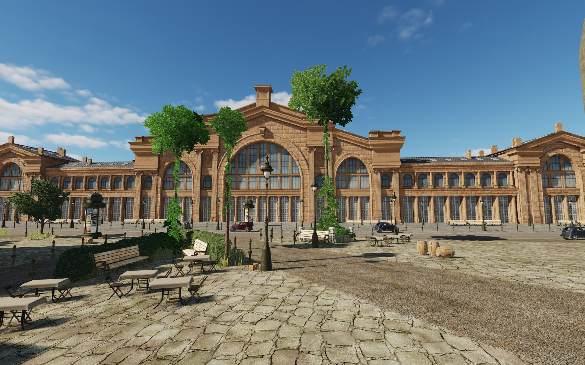
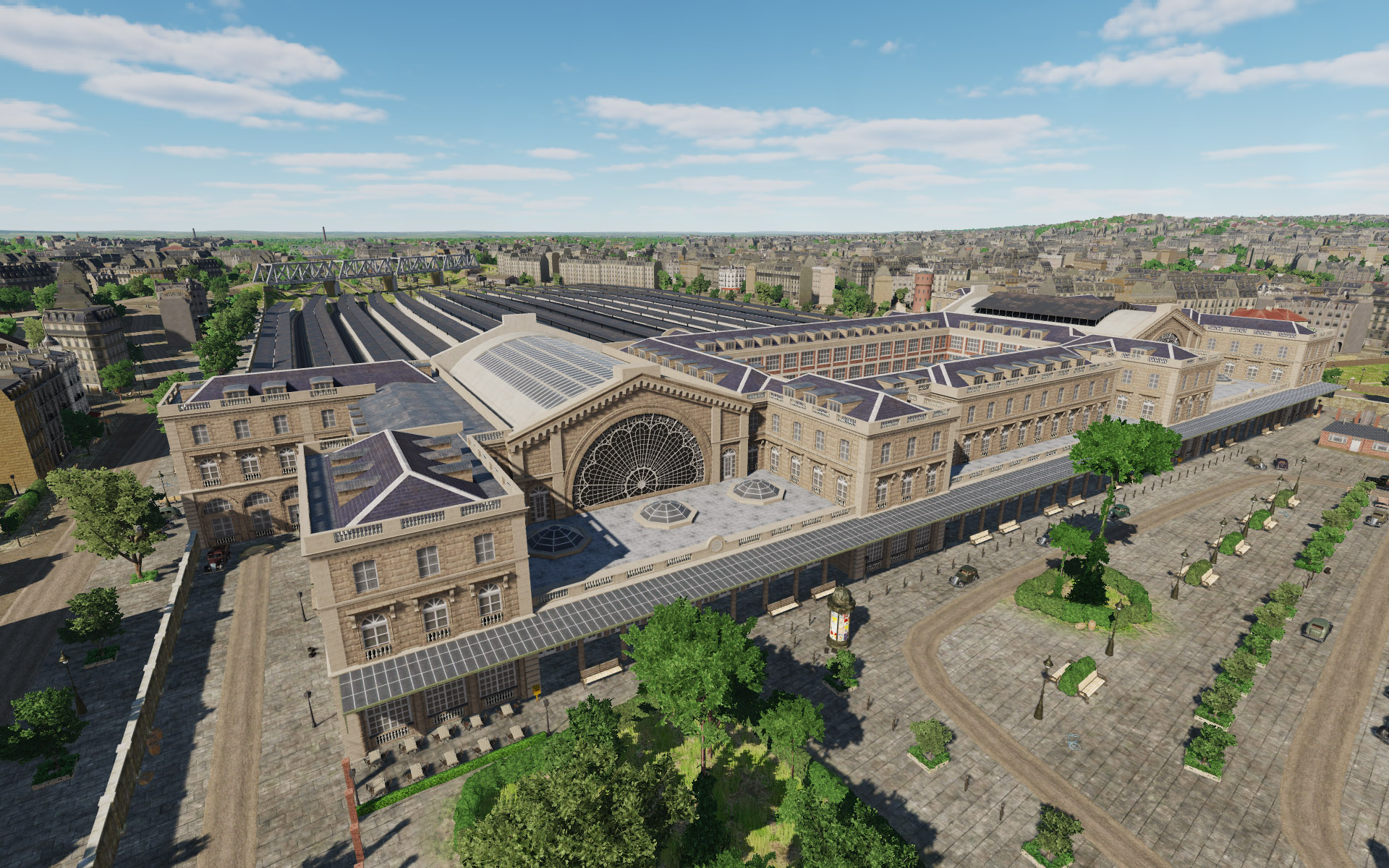
Salut les aviateurs! Mesdames et Messieurs, today we are walking around Paris. In Paris, more than 20 original objects have been recreated on the Normandy 2 map, including: Eiffel Tower, Arc de Triomphe, Champs Elysees, Louvre, Notre Dame de Paris, as well as the main railway stations, the hippodrome, and the underground metro. We tried to do everything so that DCS users could plunge into the atmosphere of the world's cultural capital. Notre-Dame de Paris Hotel des Invalides Palais du Luxembourg Pont Alexandre III Gare-Saint-Lazare Paris Gare du Nord @Magic Zach @Fred901 @DD_Fenrir and everyone who cares about airfields. Thank you! We have added 5 airfields (Orly, Deadland, Friston, Poix, Triqueville) and they will be in early access. We will add 5 and continue this work so that the total number of airfields will be more than on the Syria map. Today we publish screenshots of two of them. Thanks for the support! Orly (original airfield) Friston (regular airfield)
- 377 replies
-
- 23
-
-
-
Didn't think you'd notice so quickly. But you didn't see the second hand on the clock. @Fred901@Magic Zach Thanks for the help. We are trying to make Normandy 2 one of the best DCS maps. We will be grateful for any information.
- 377 replies
-
- 16
-
-
-
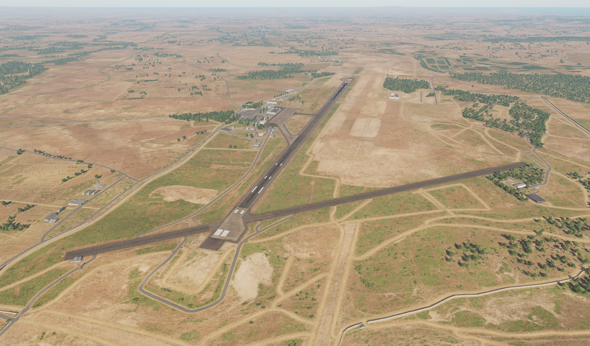
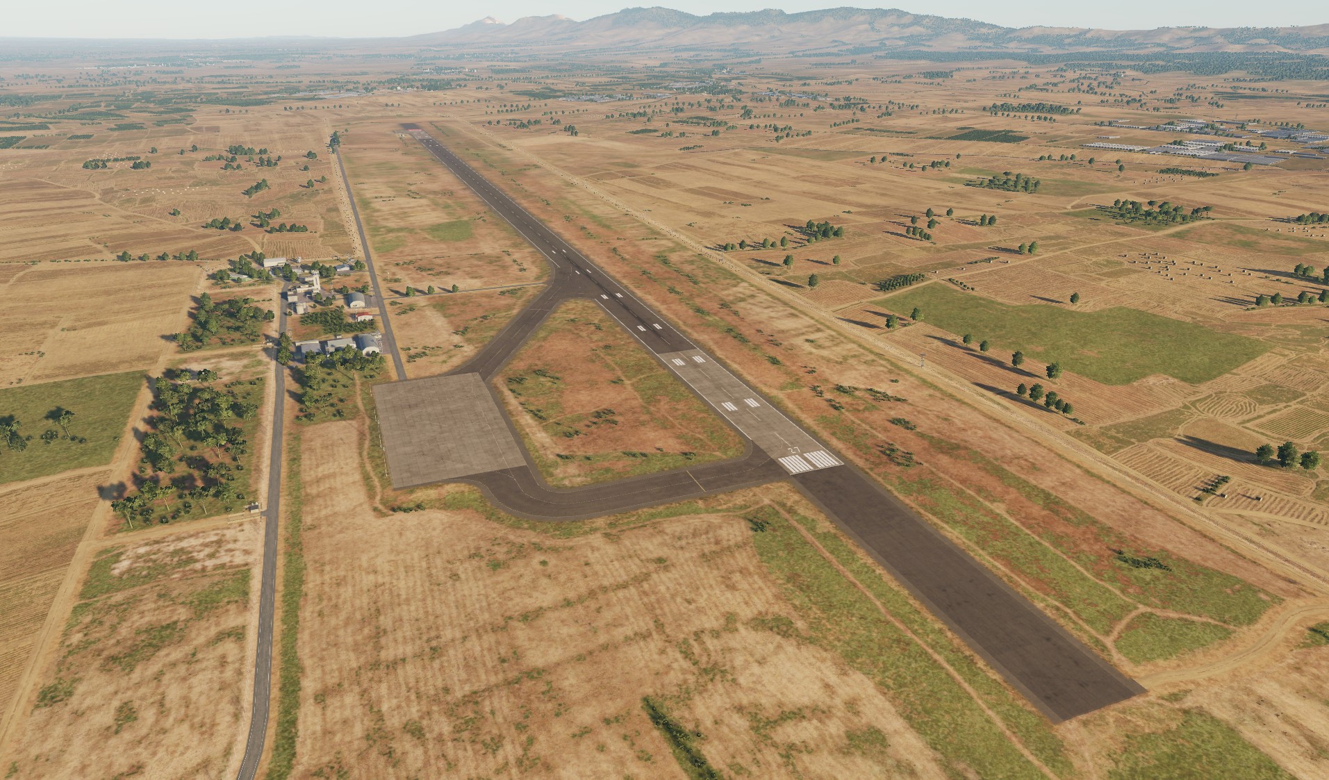
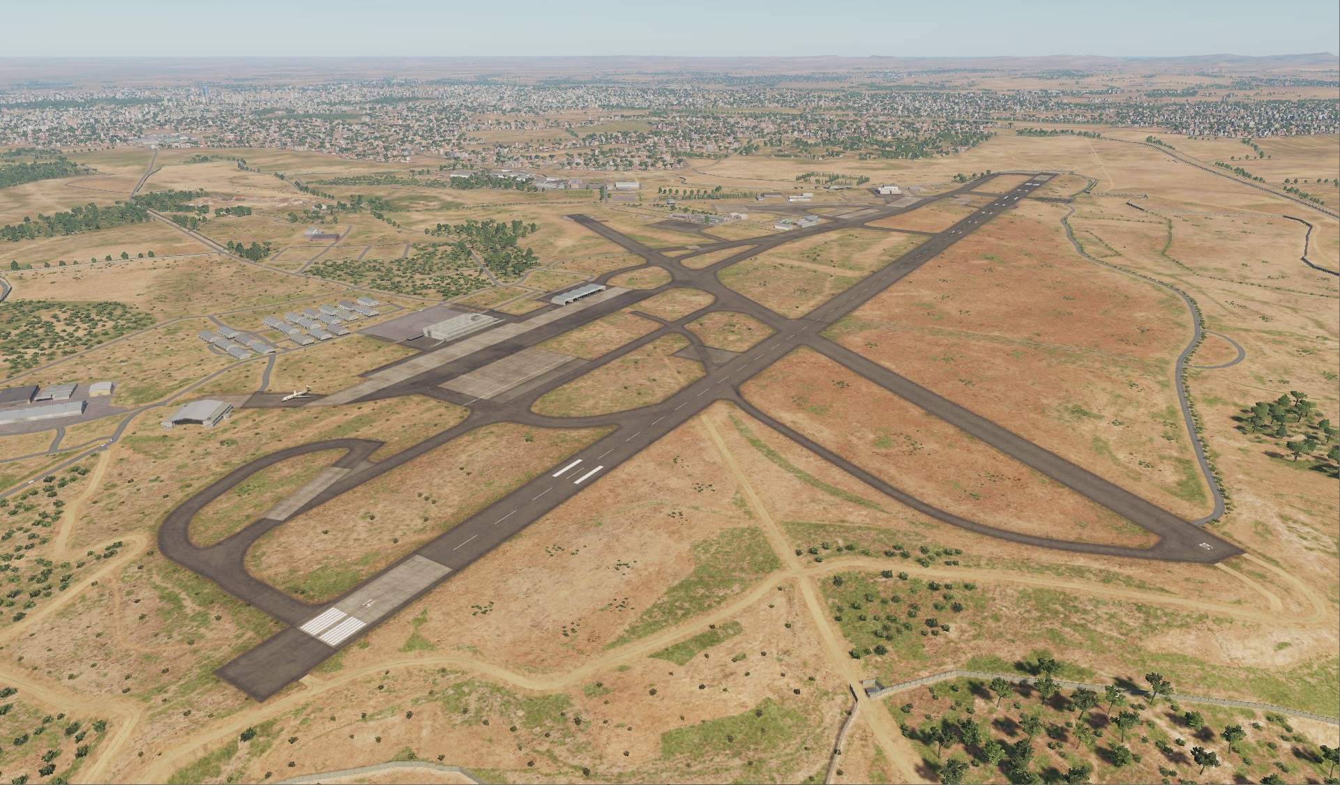
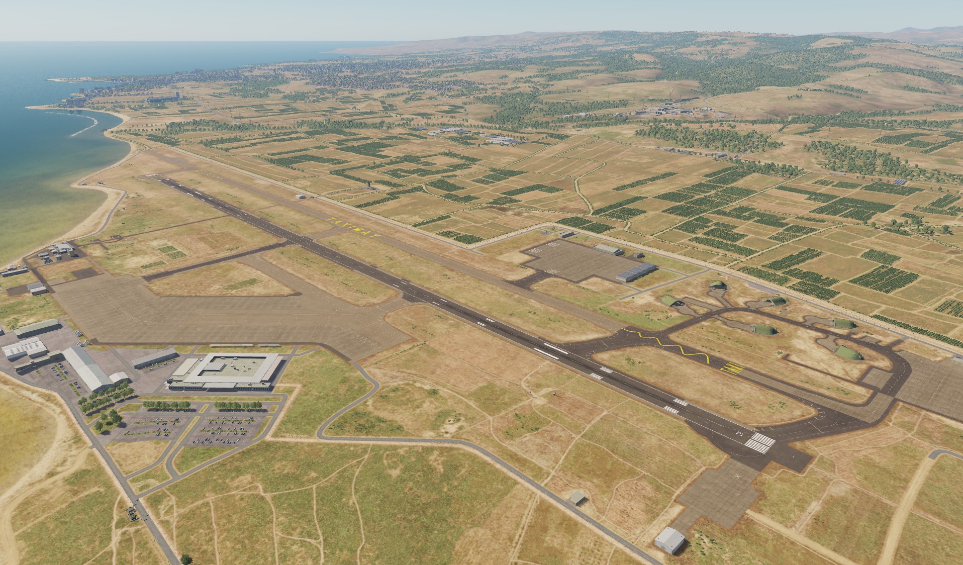
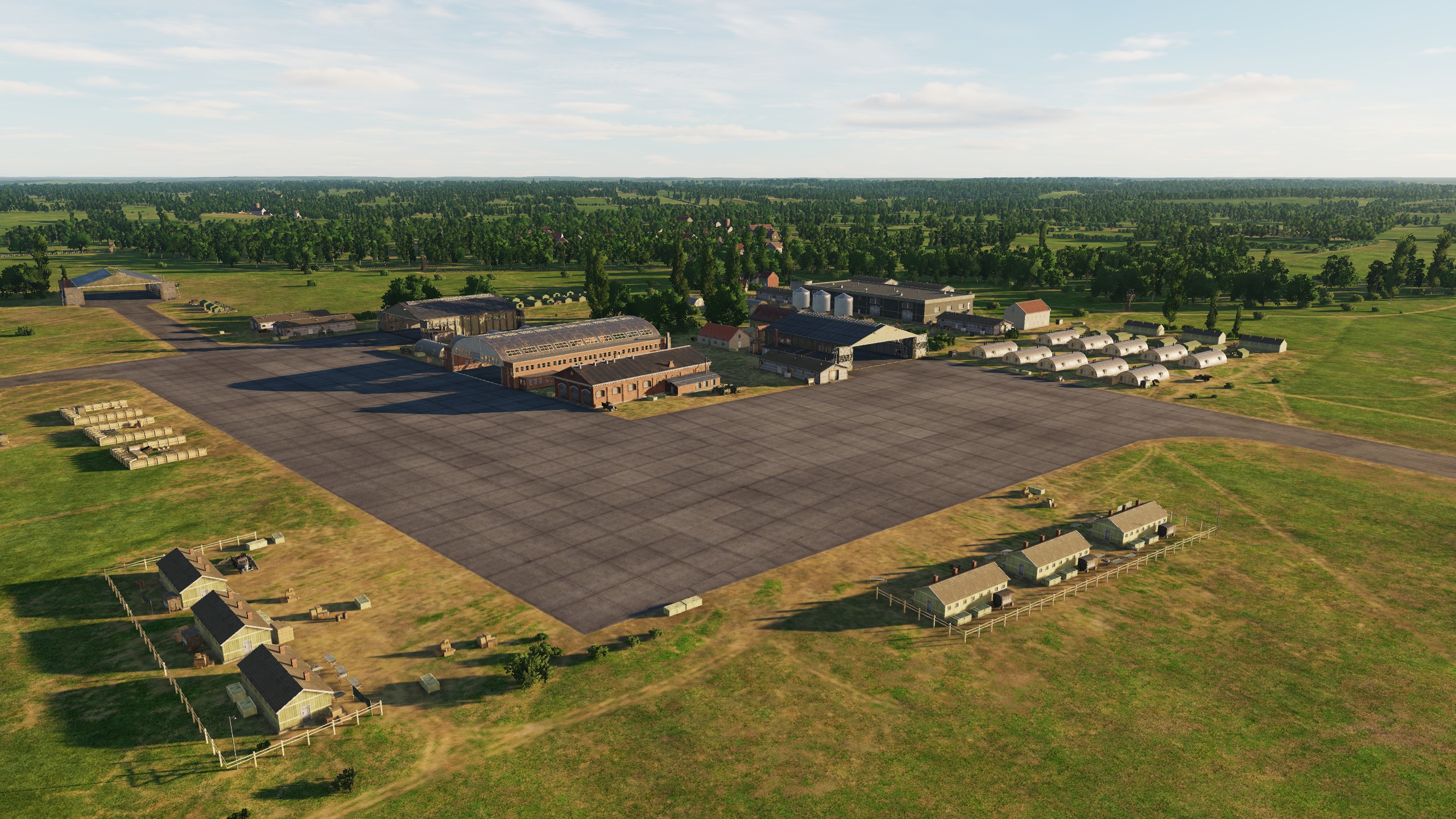
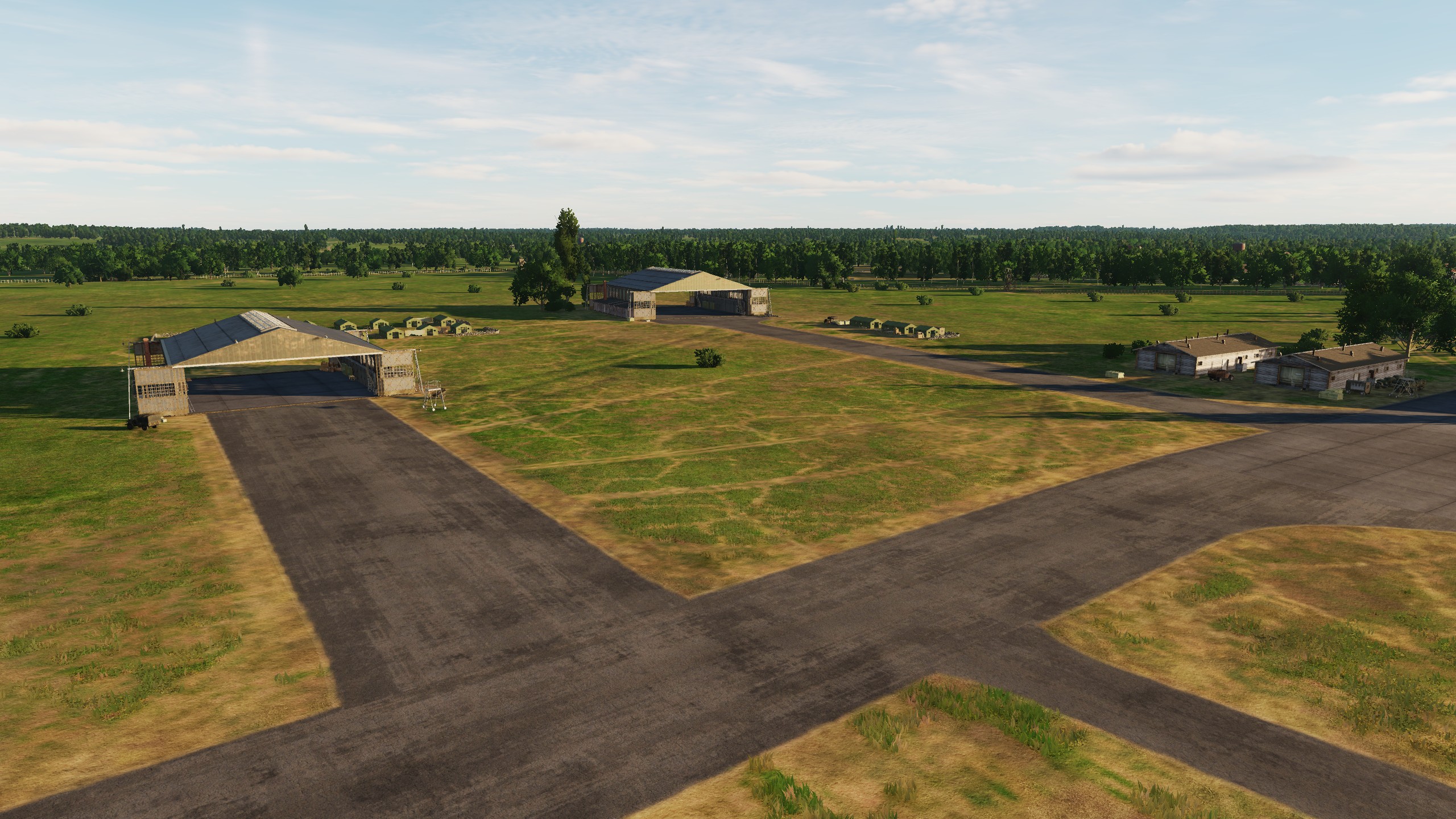
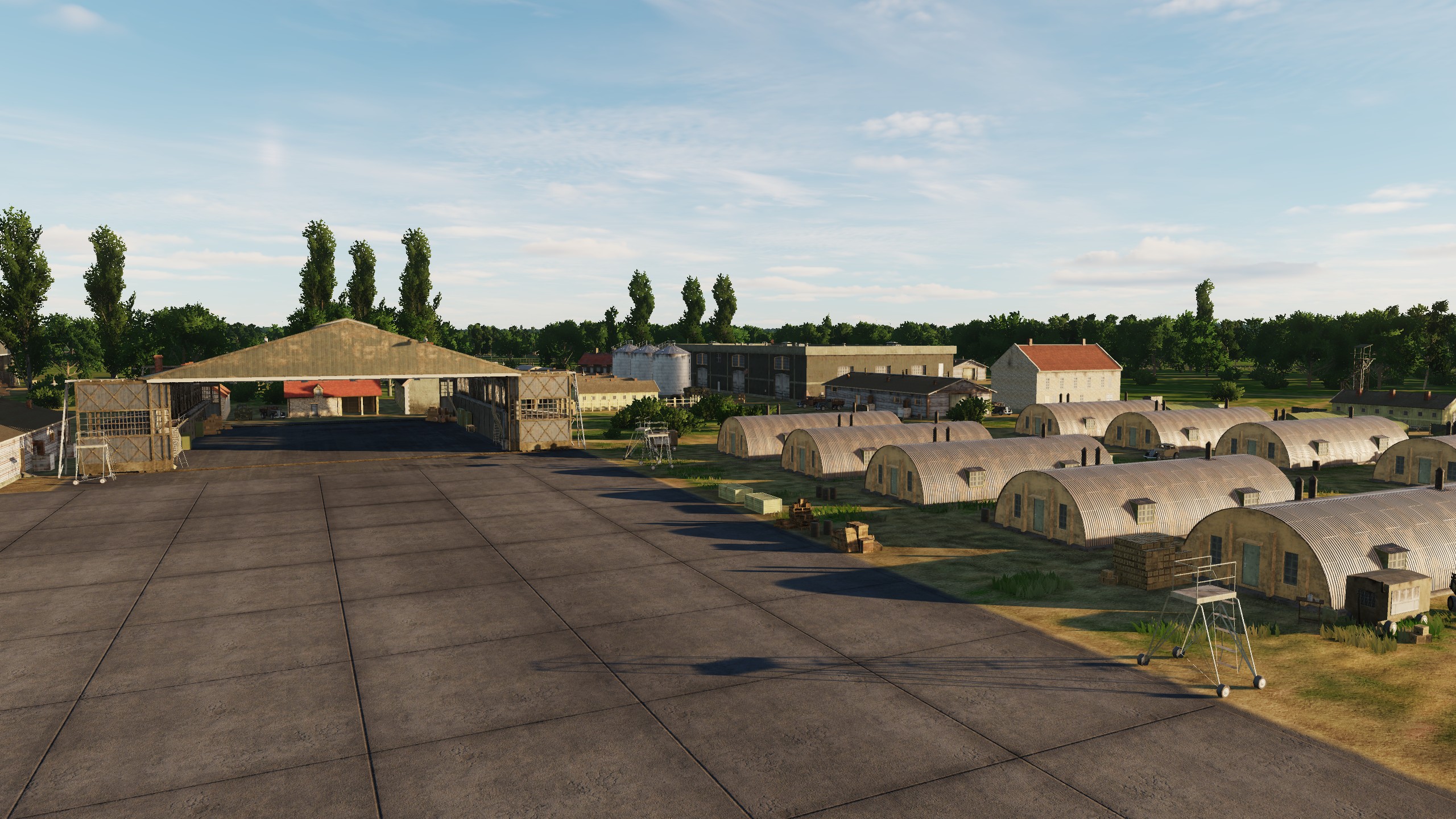
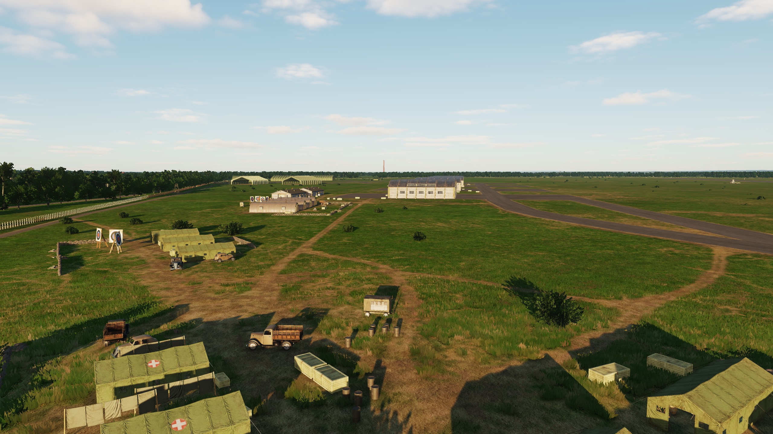
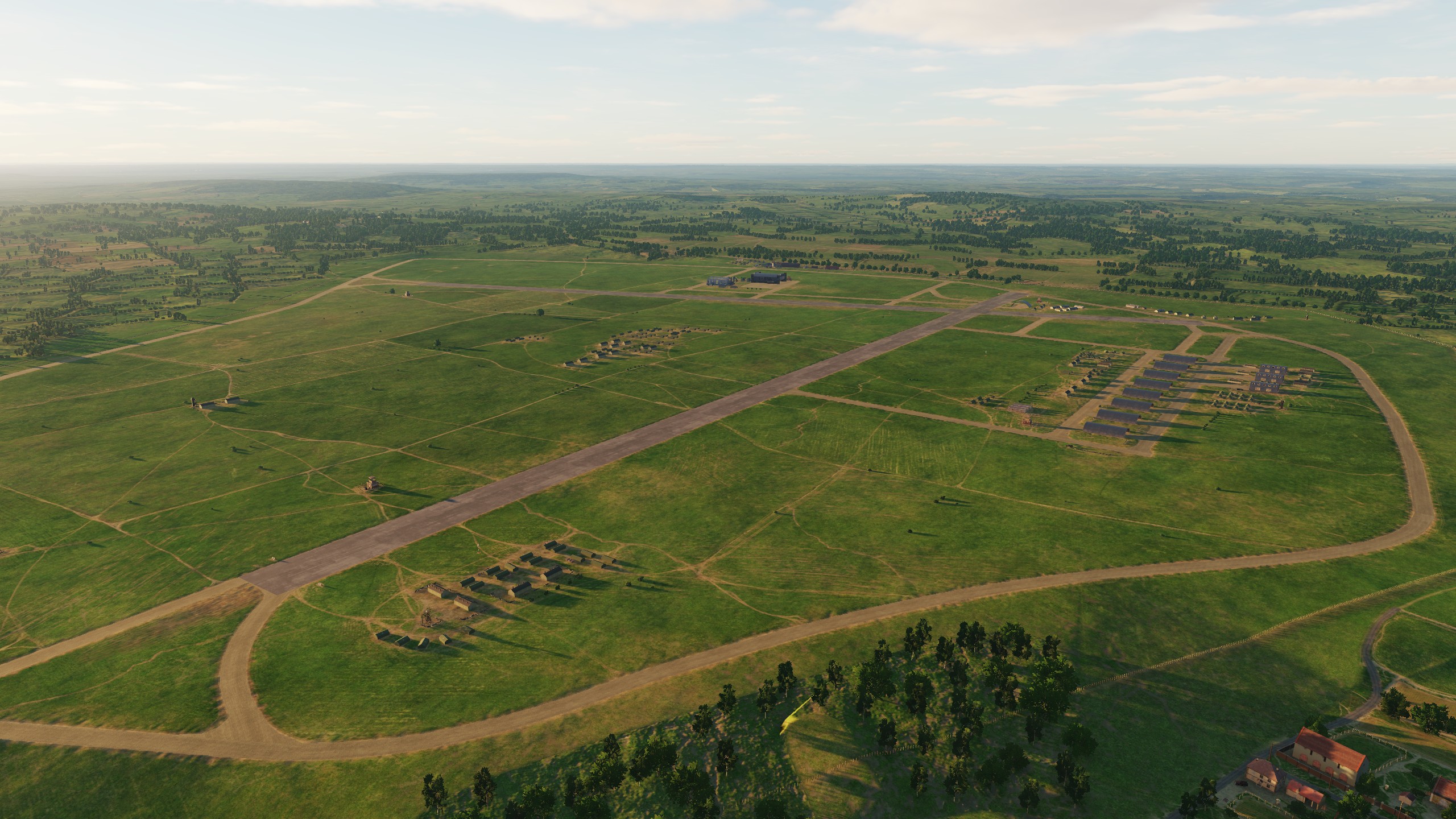
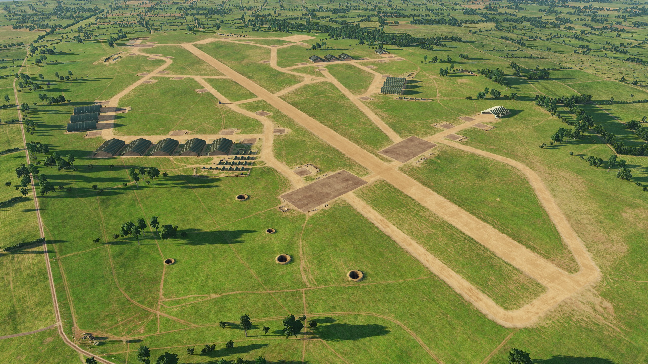
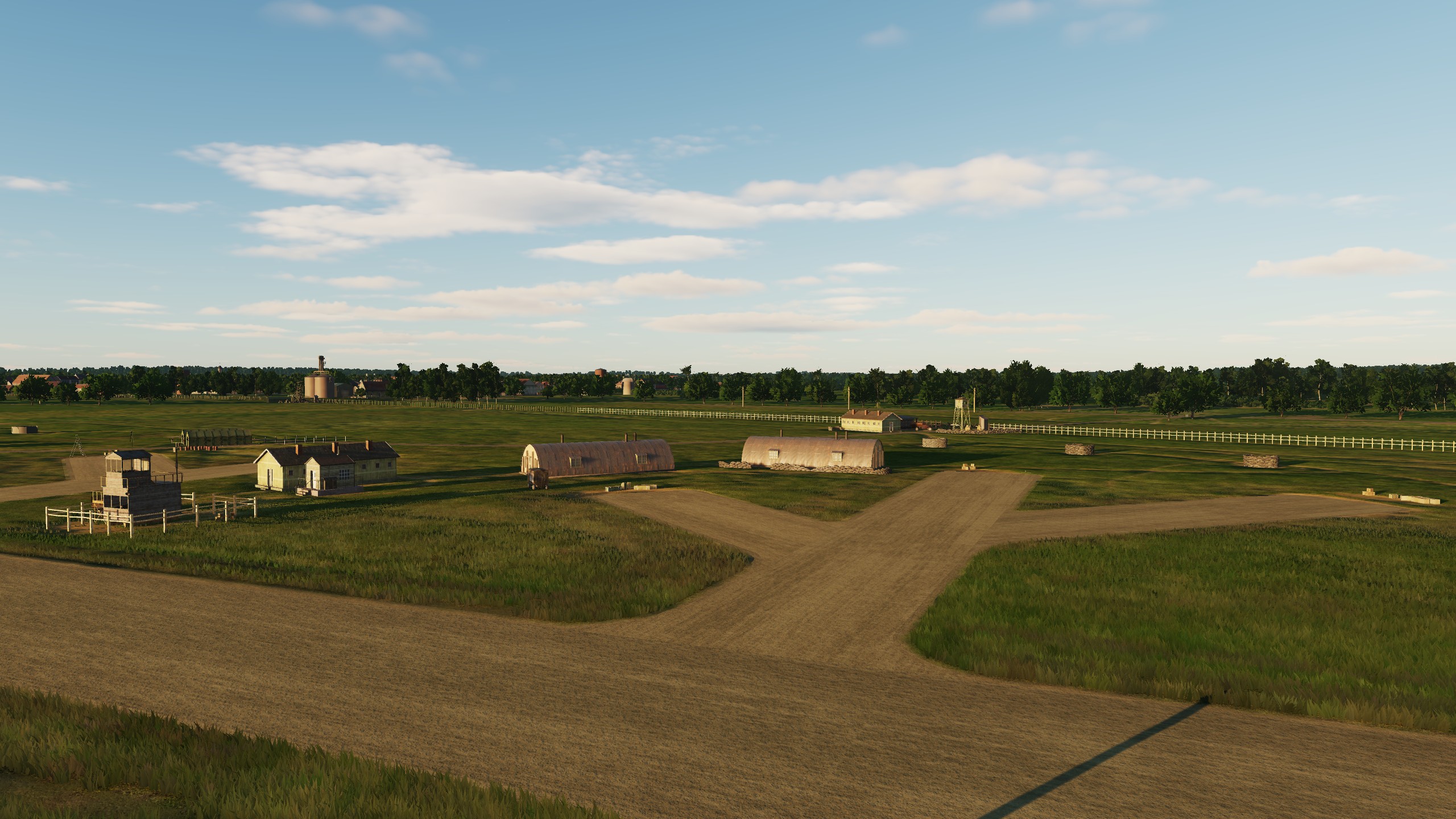
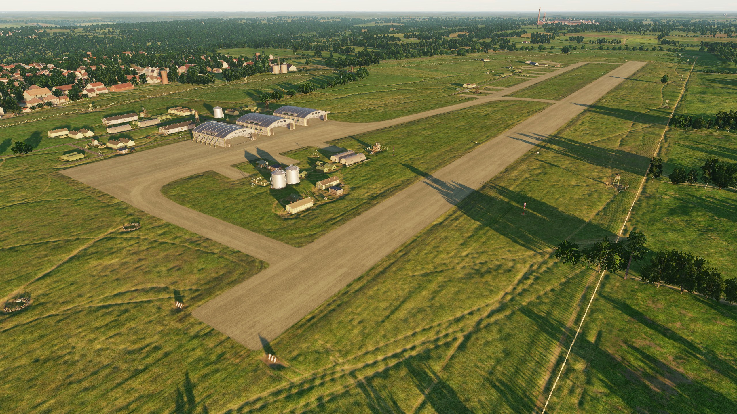
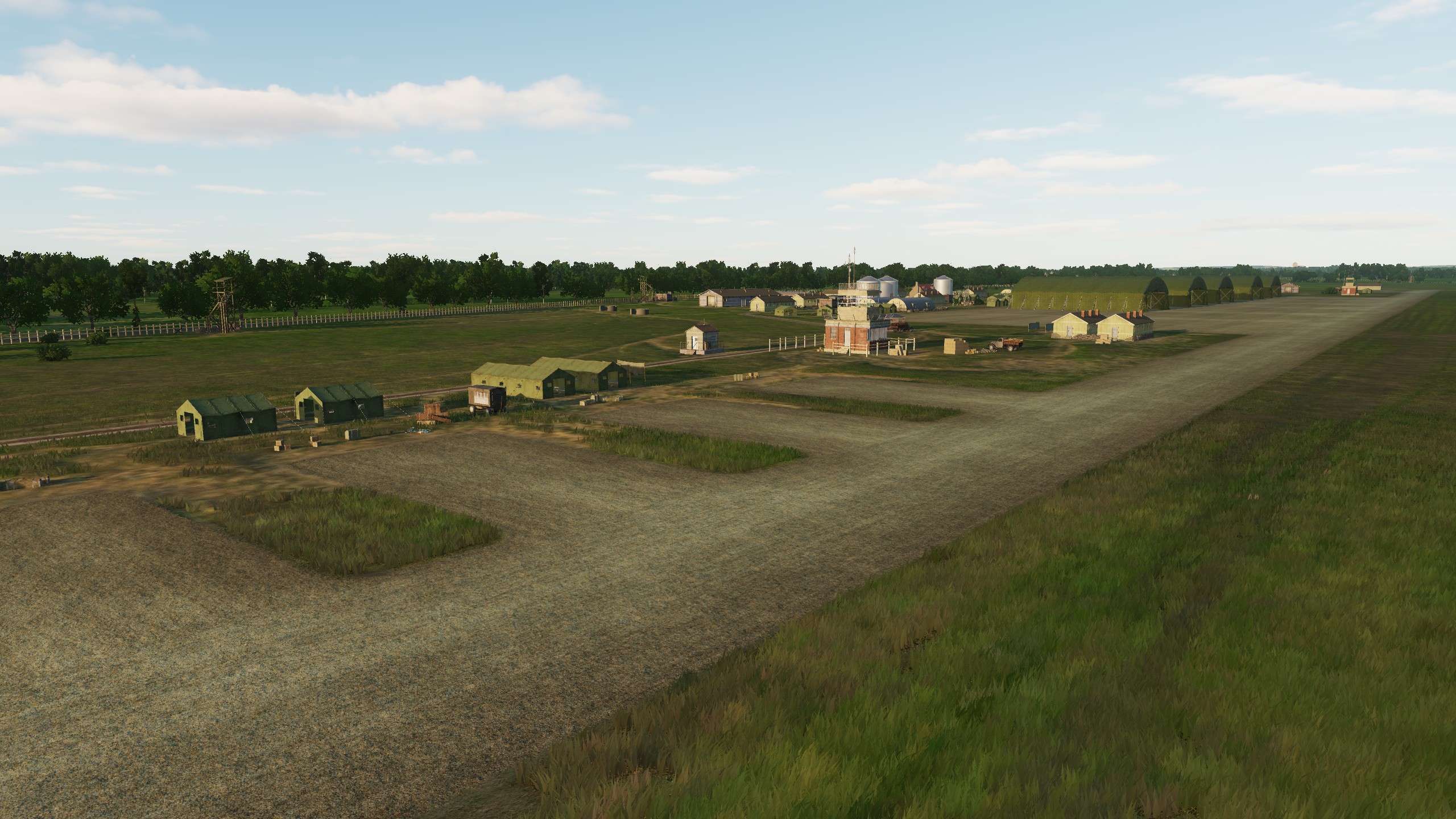
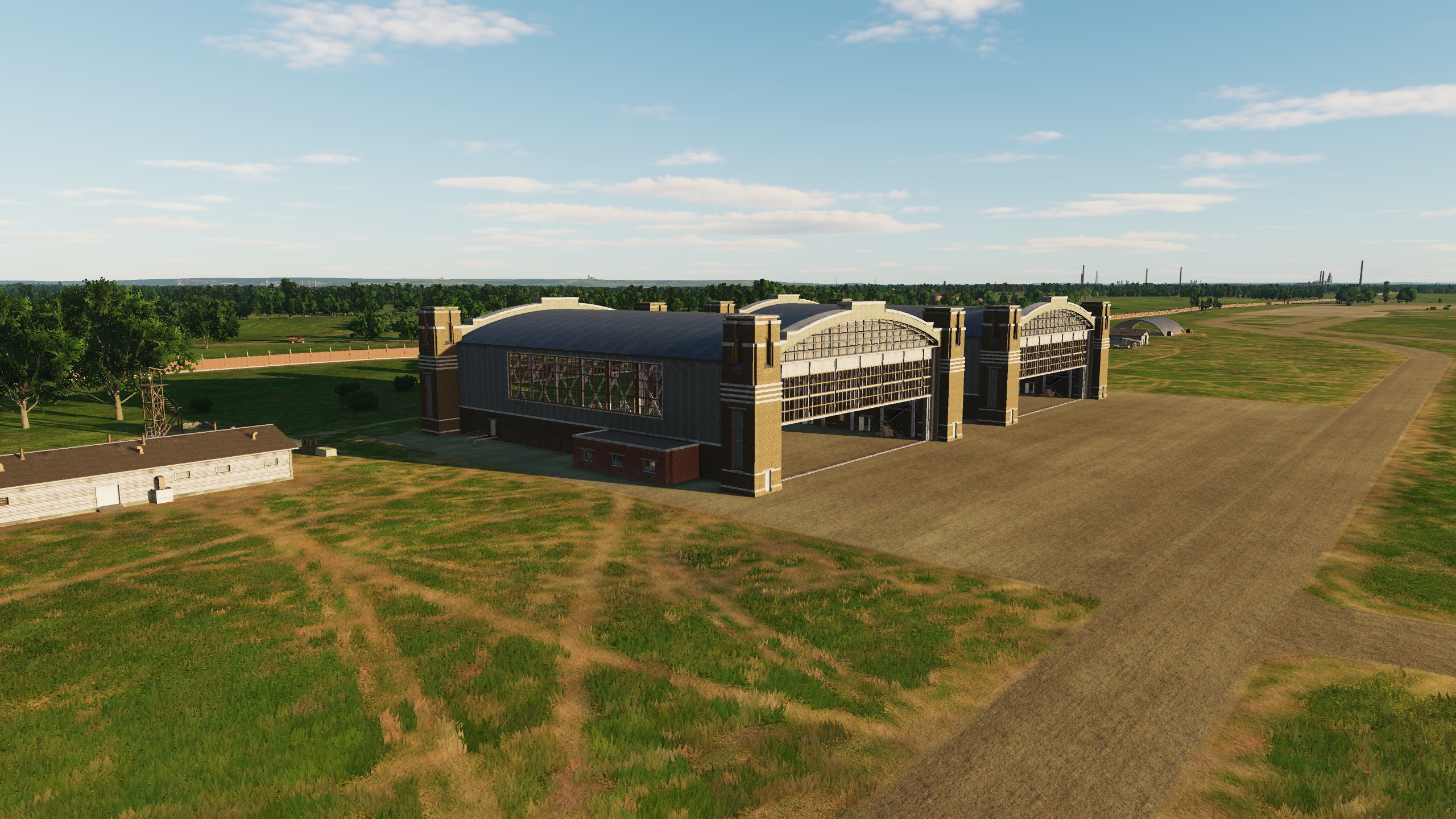
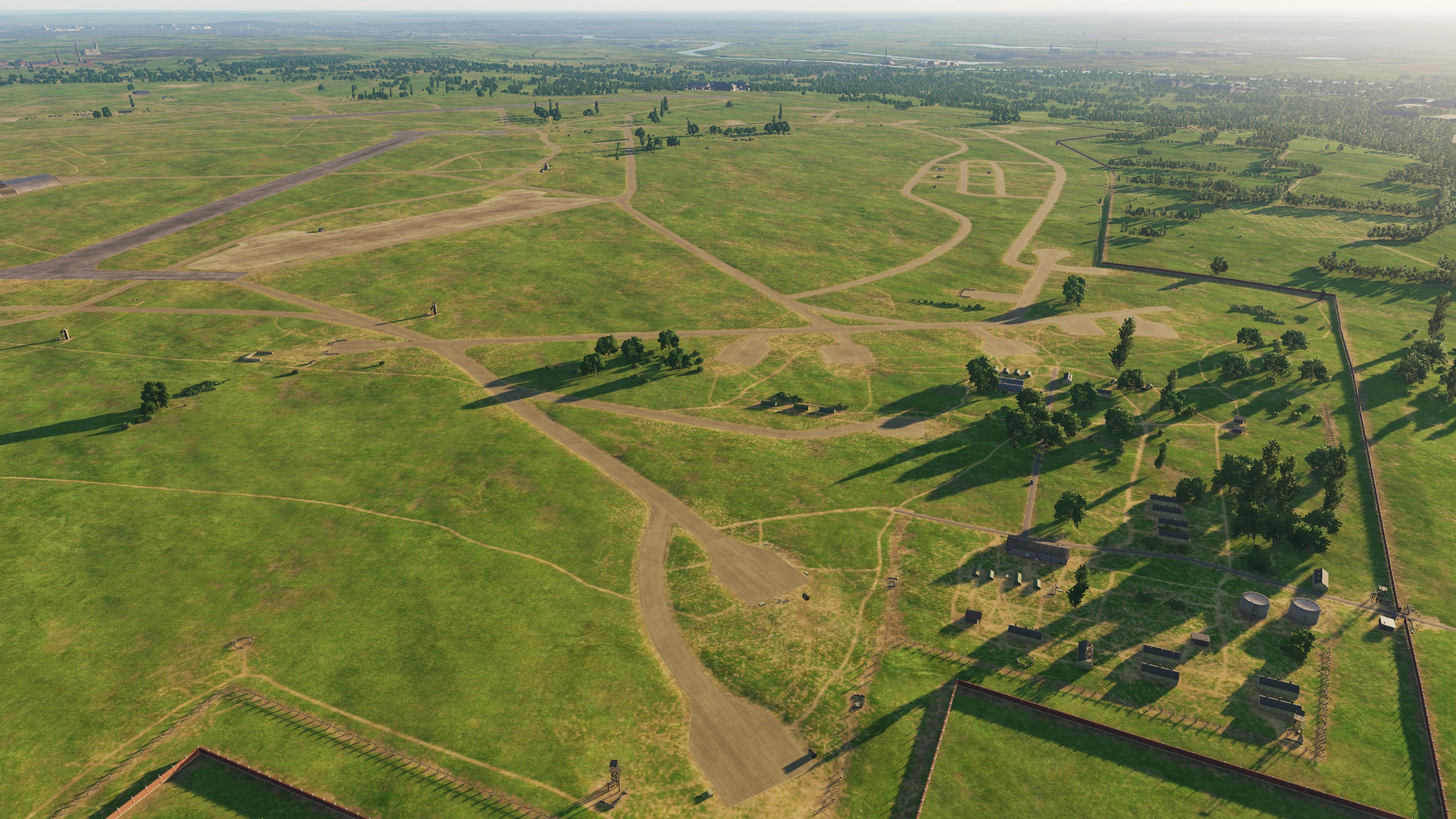
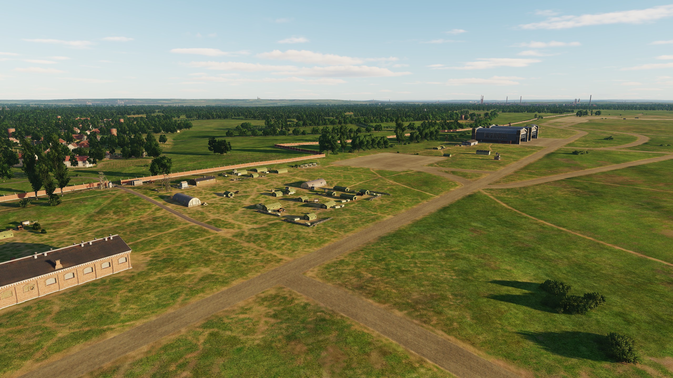
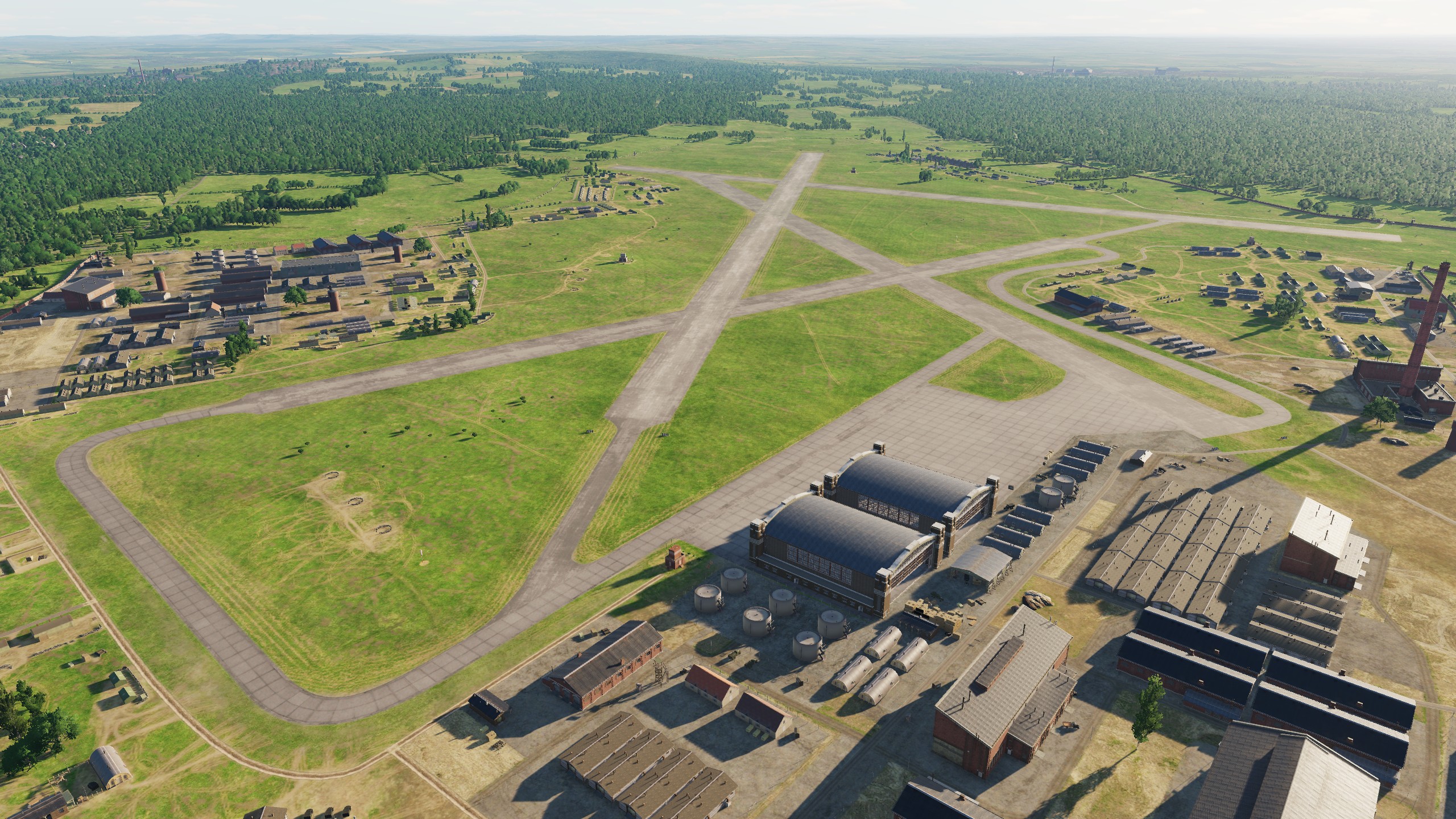
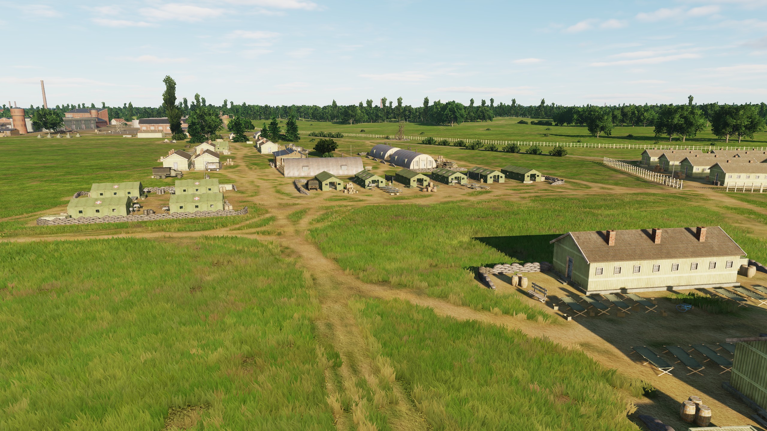
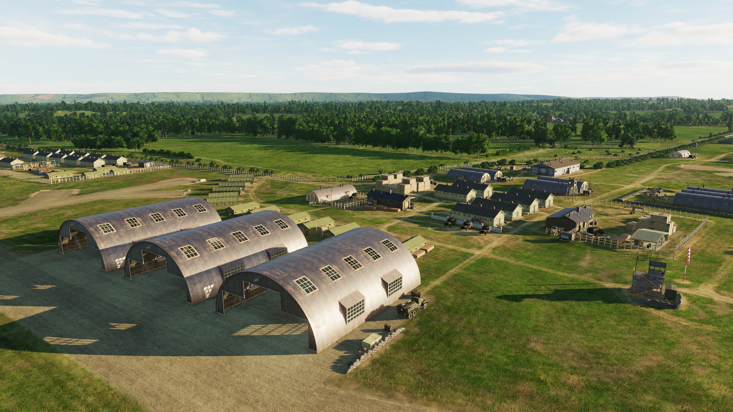
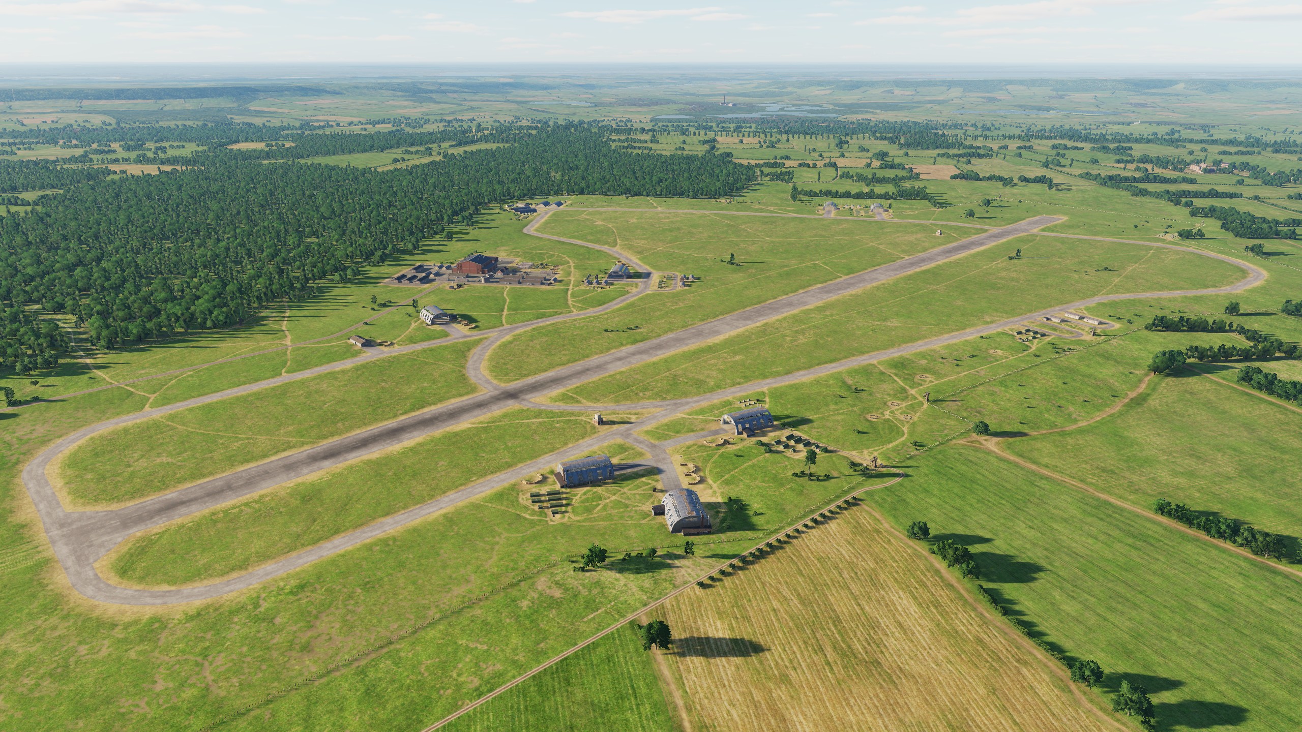
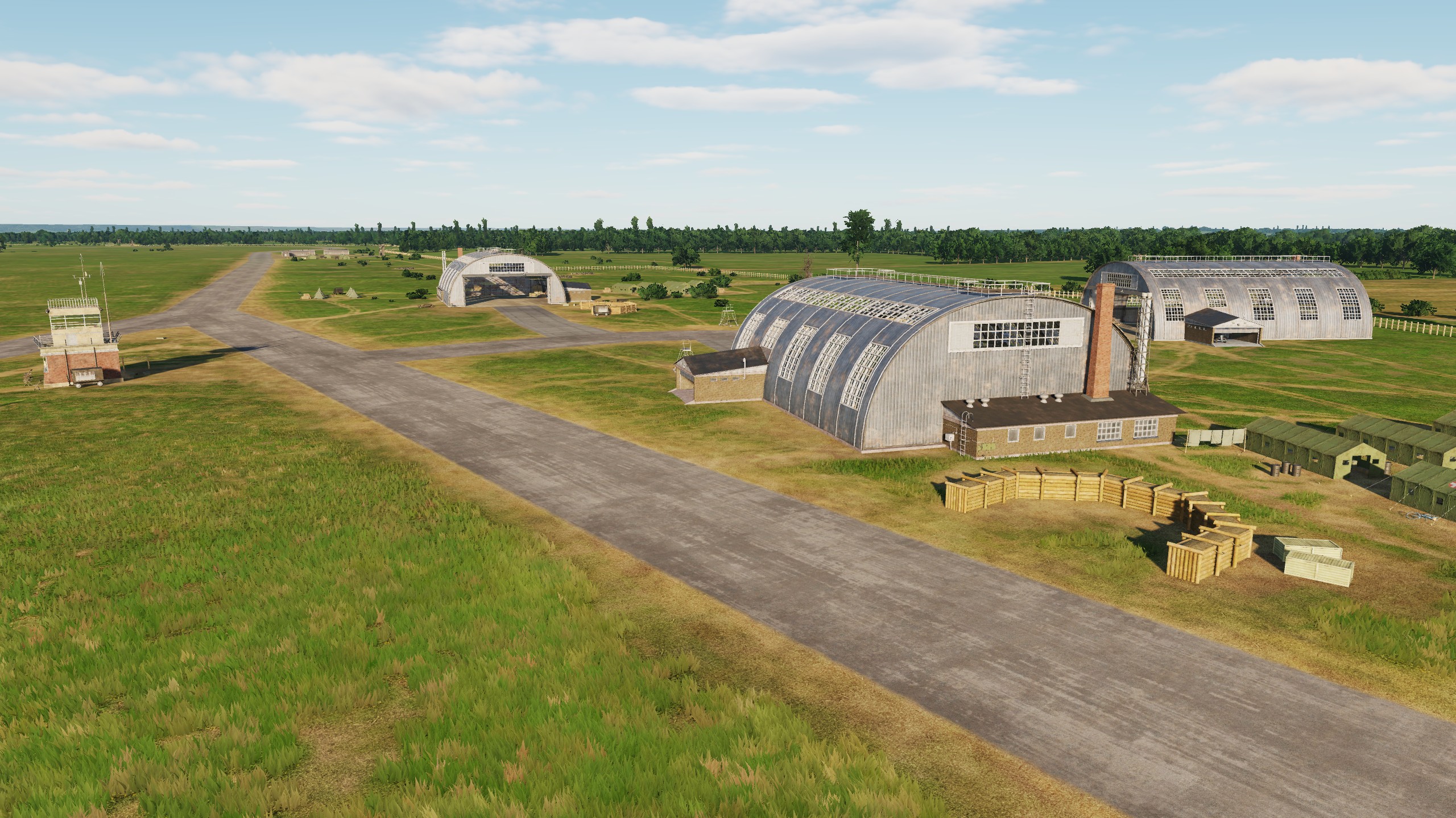
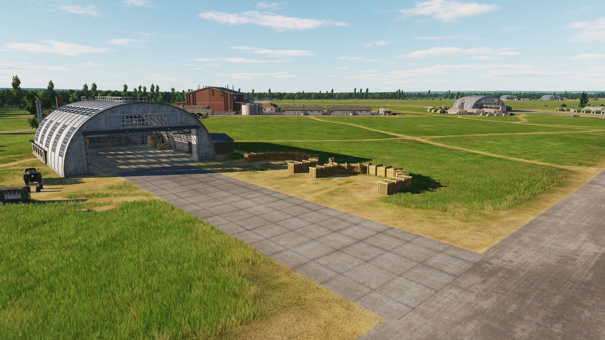
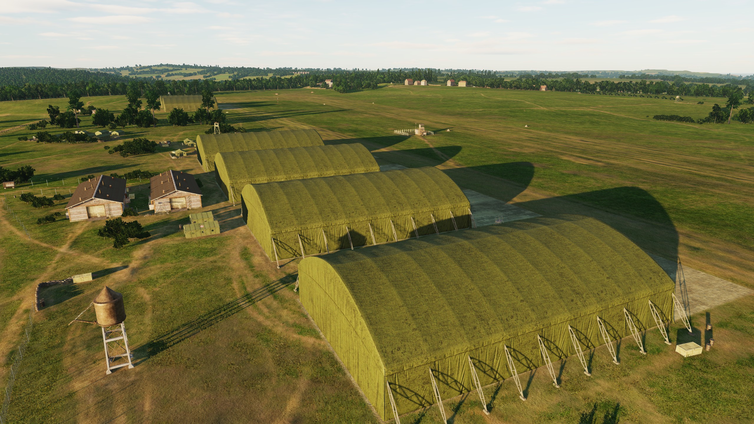
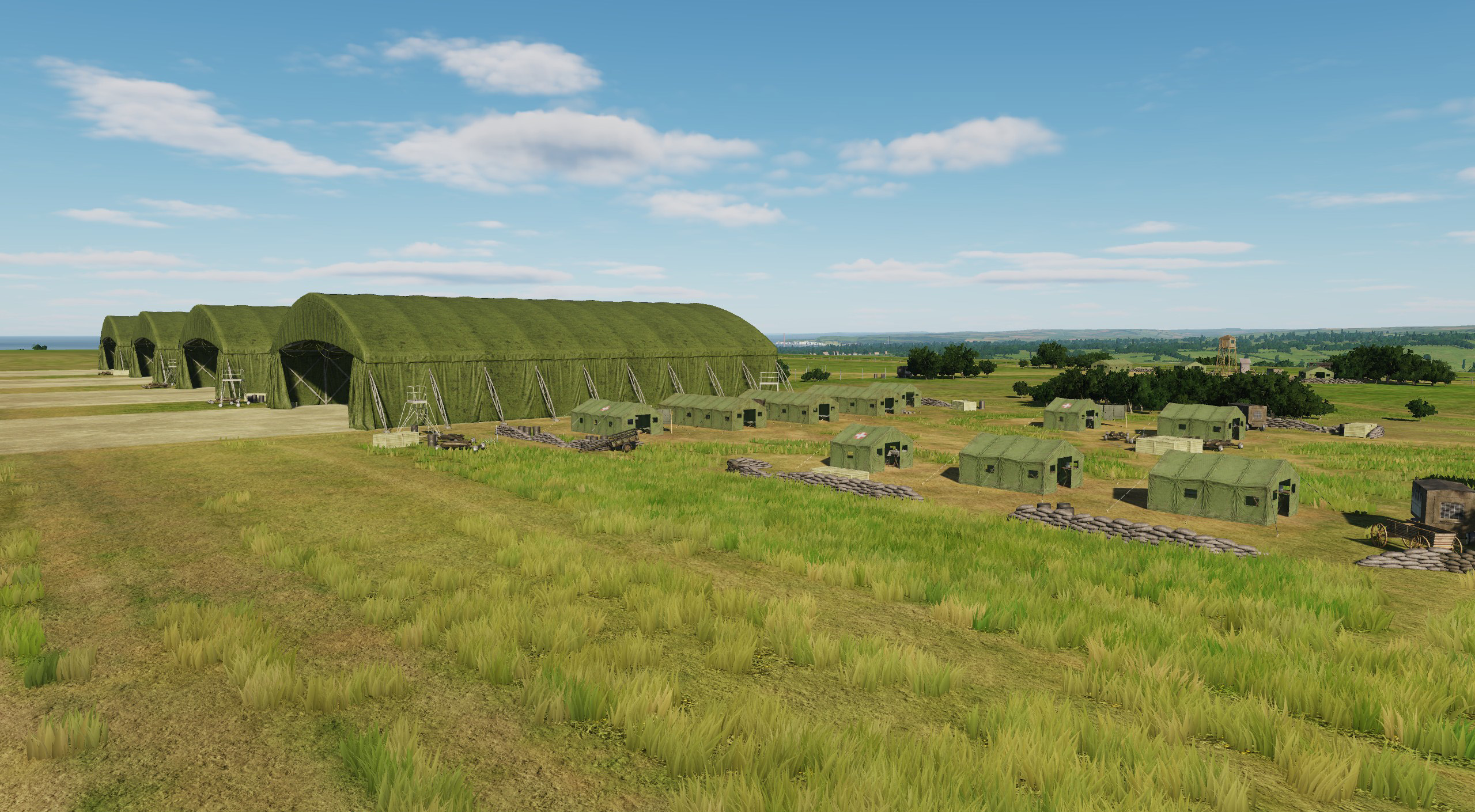
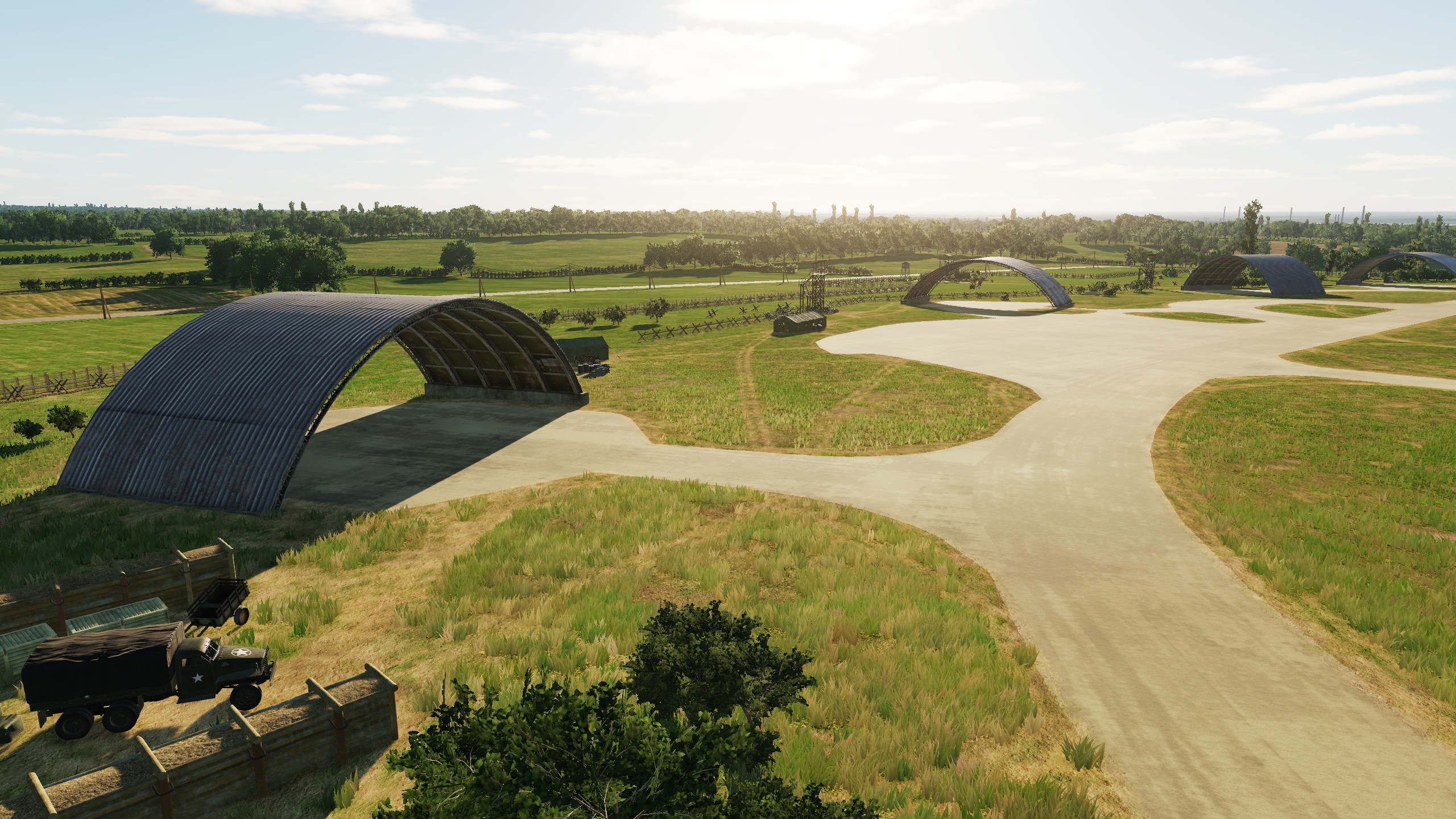
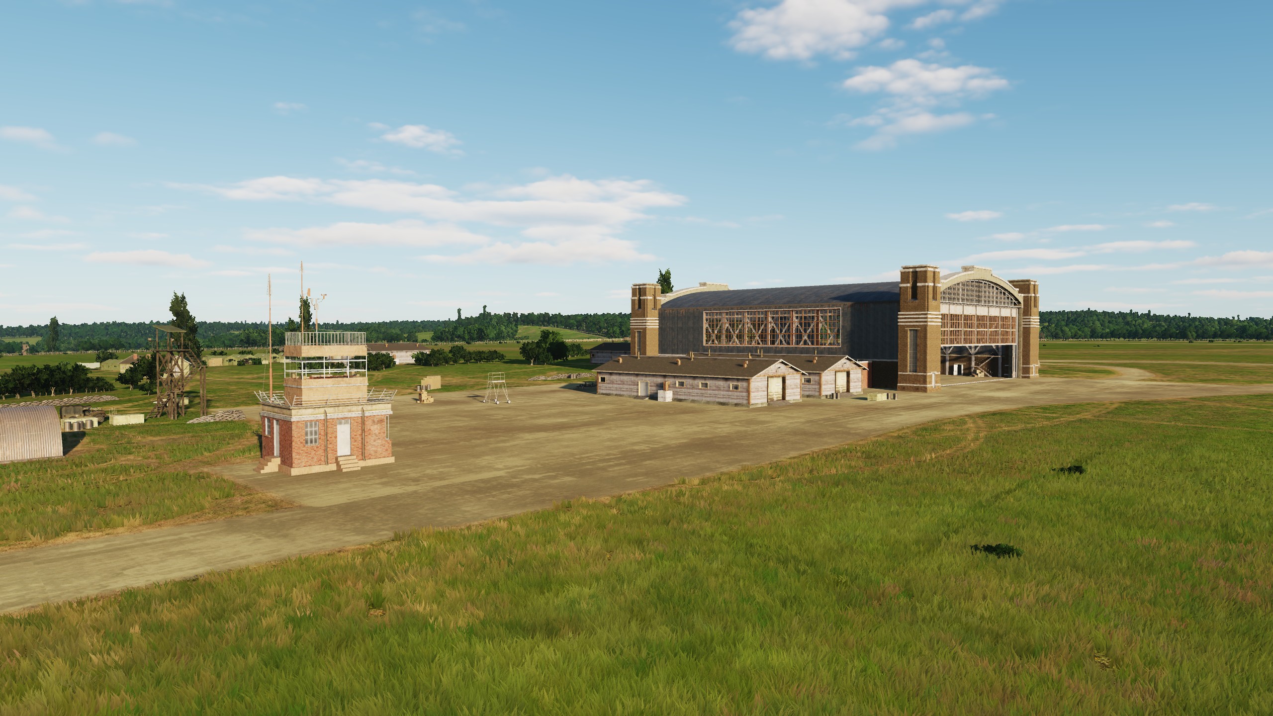
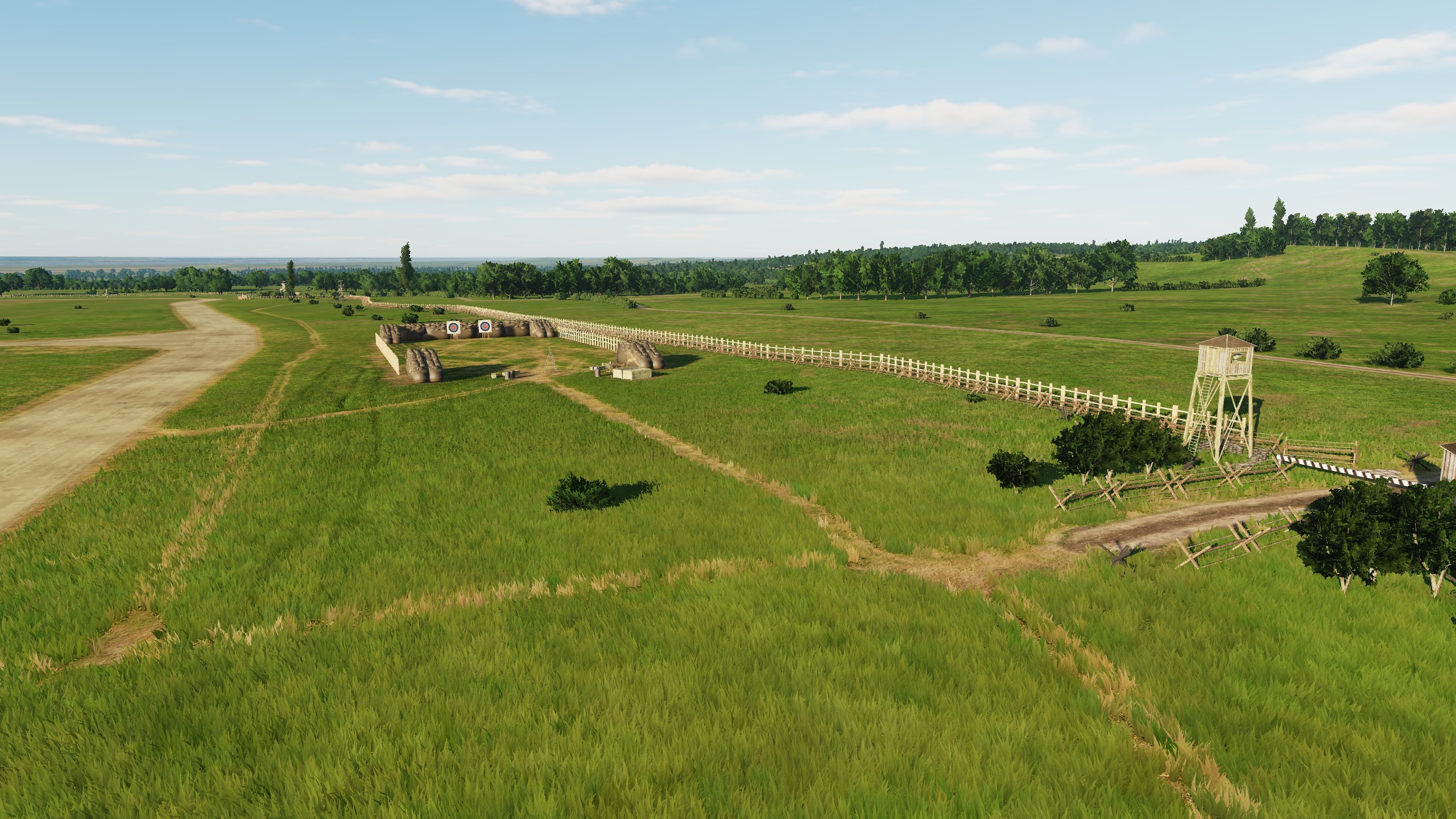
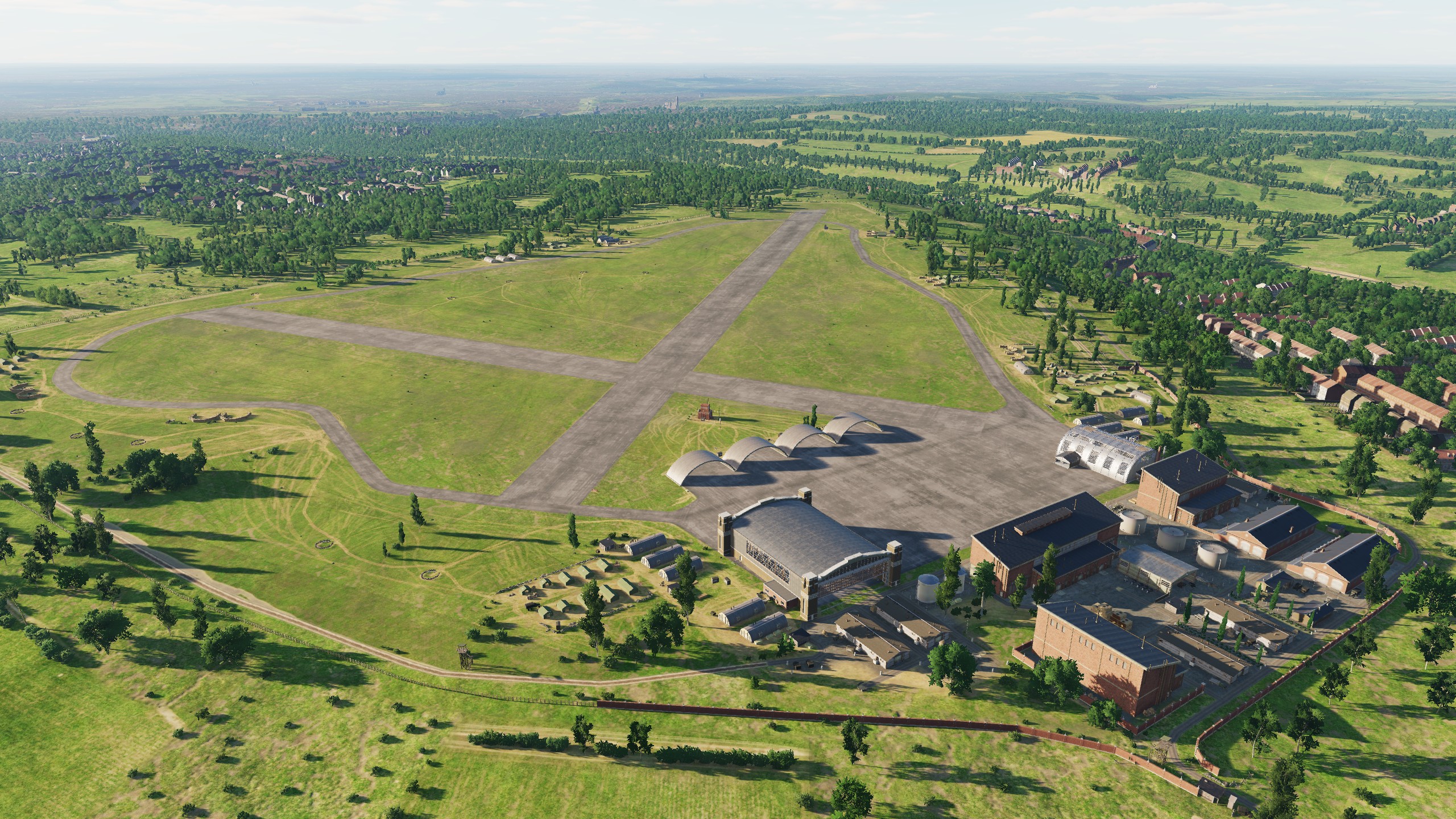
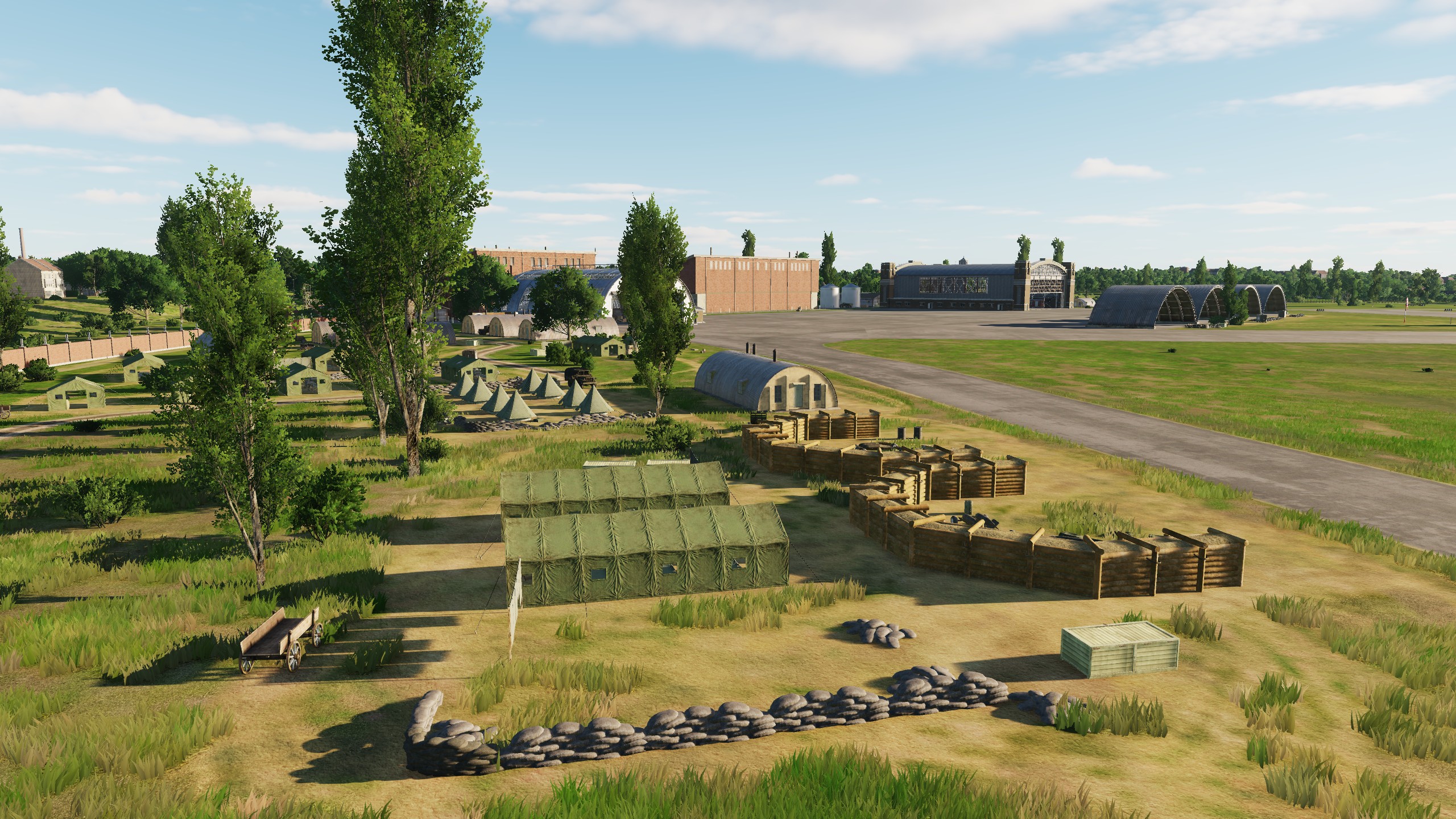
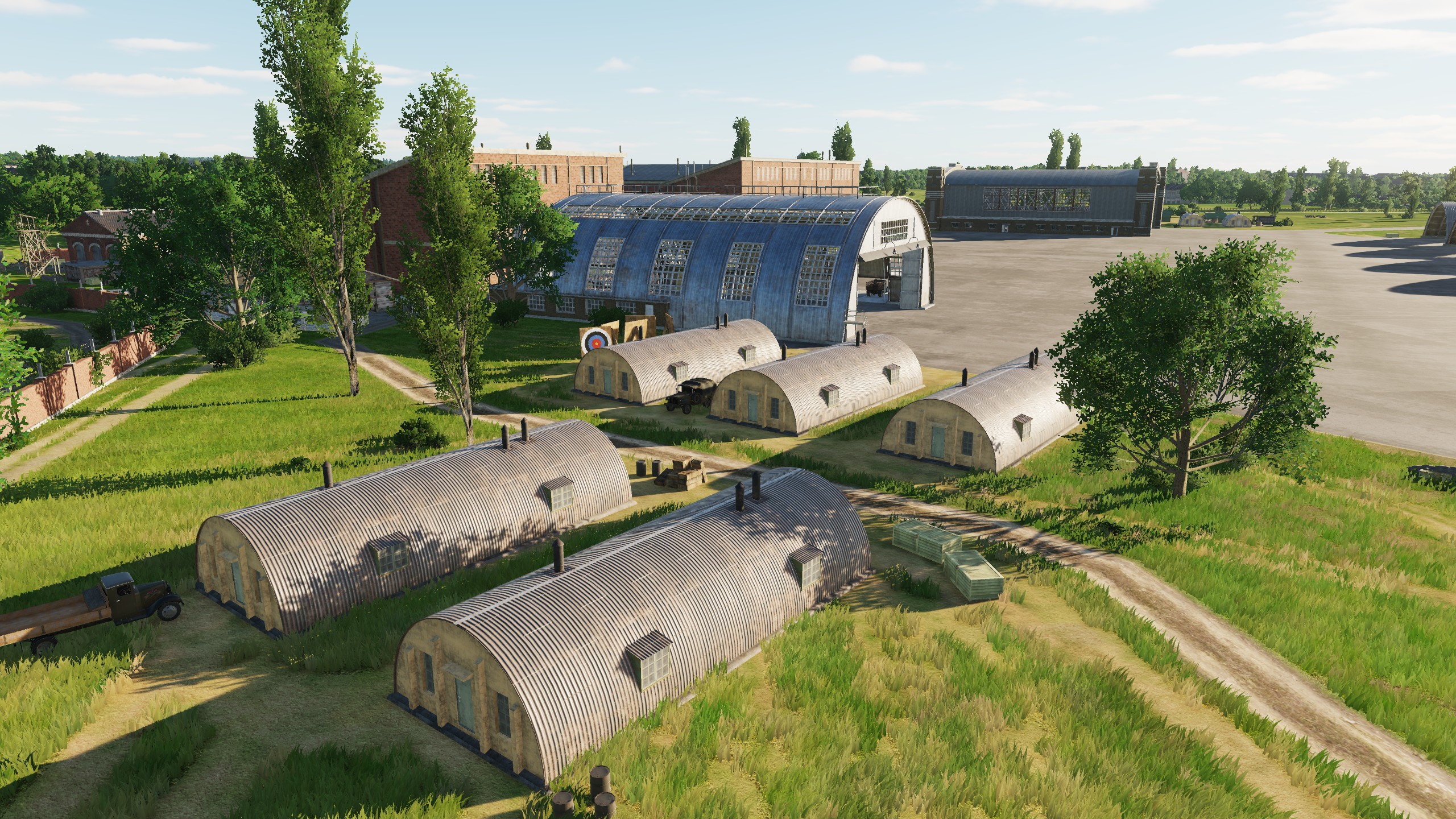
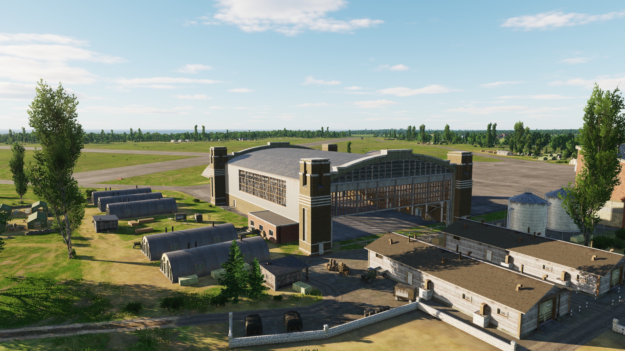
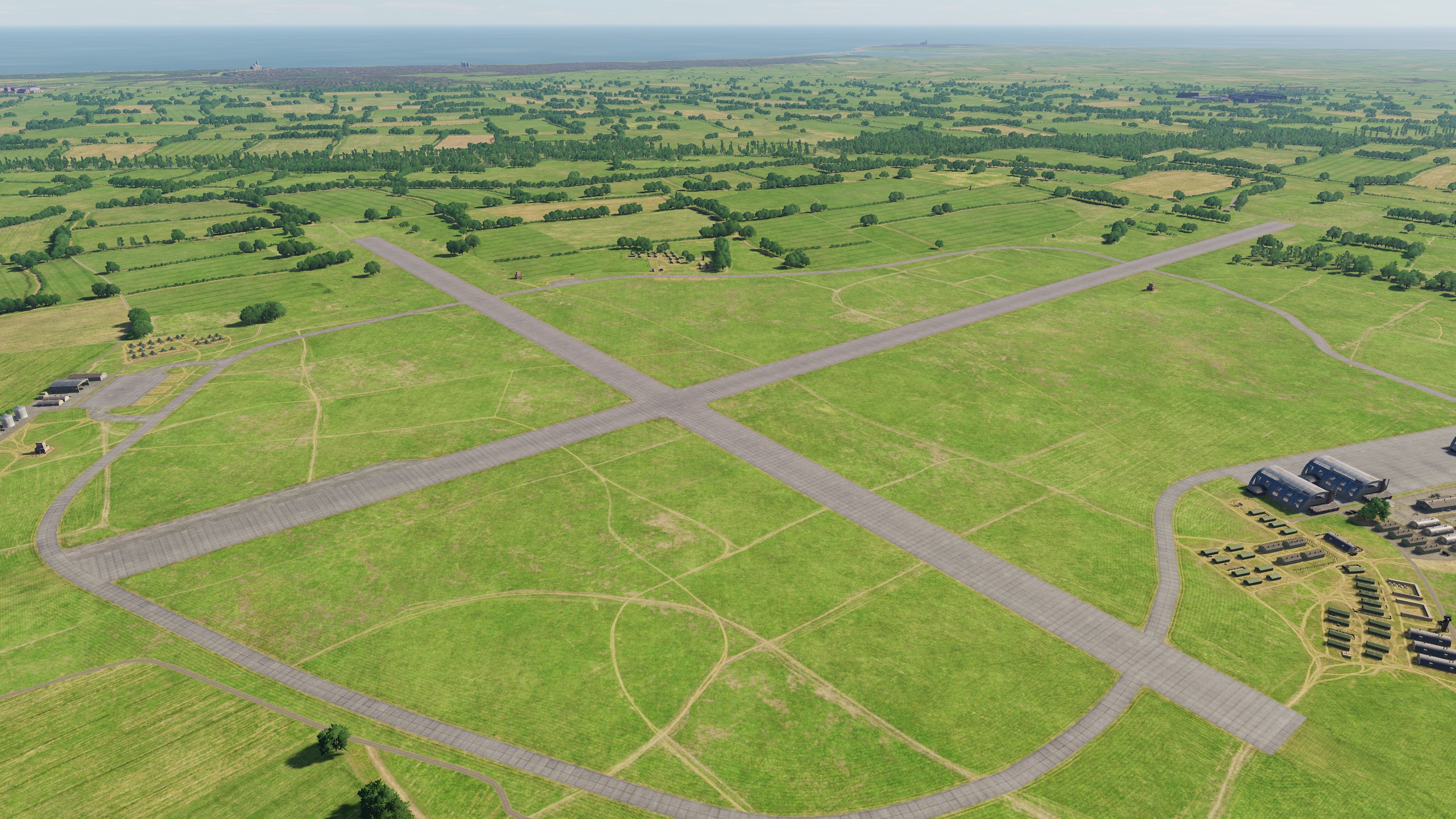
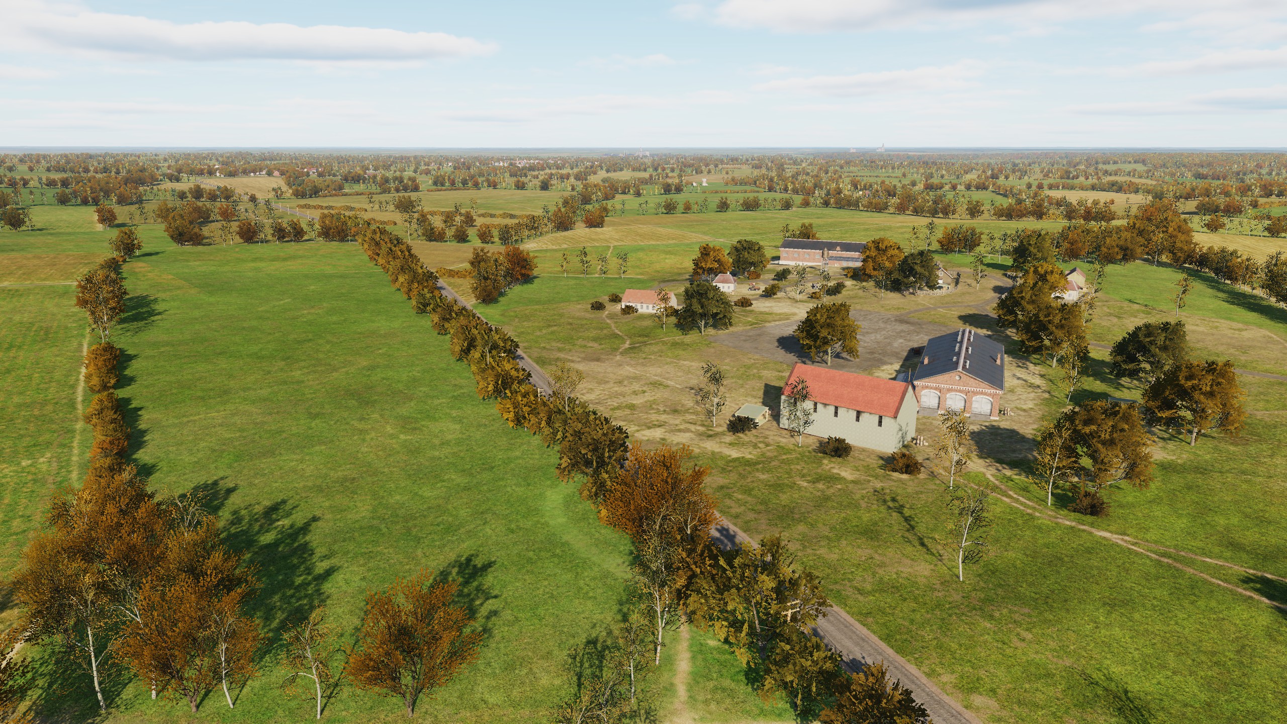
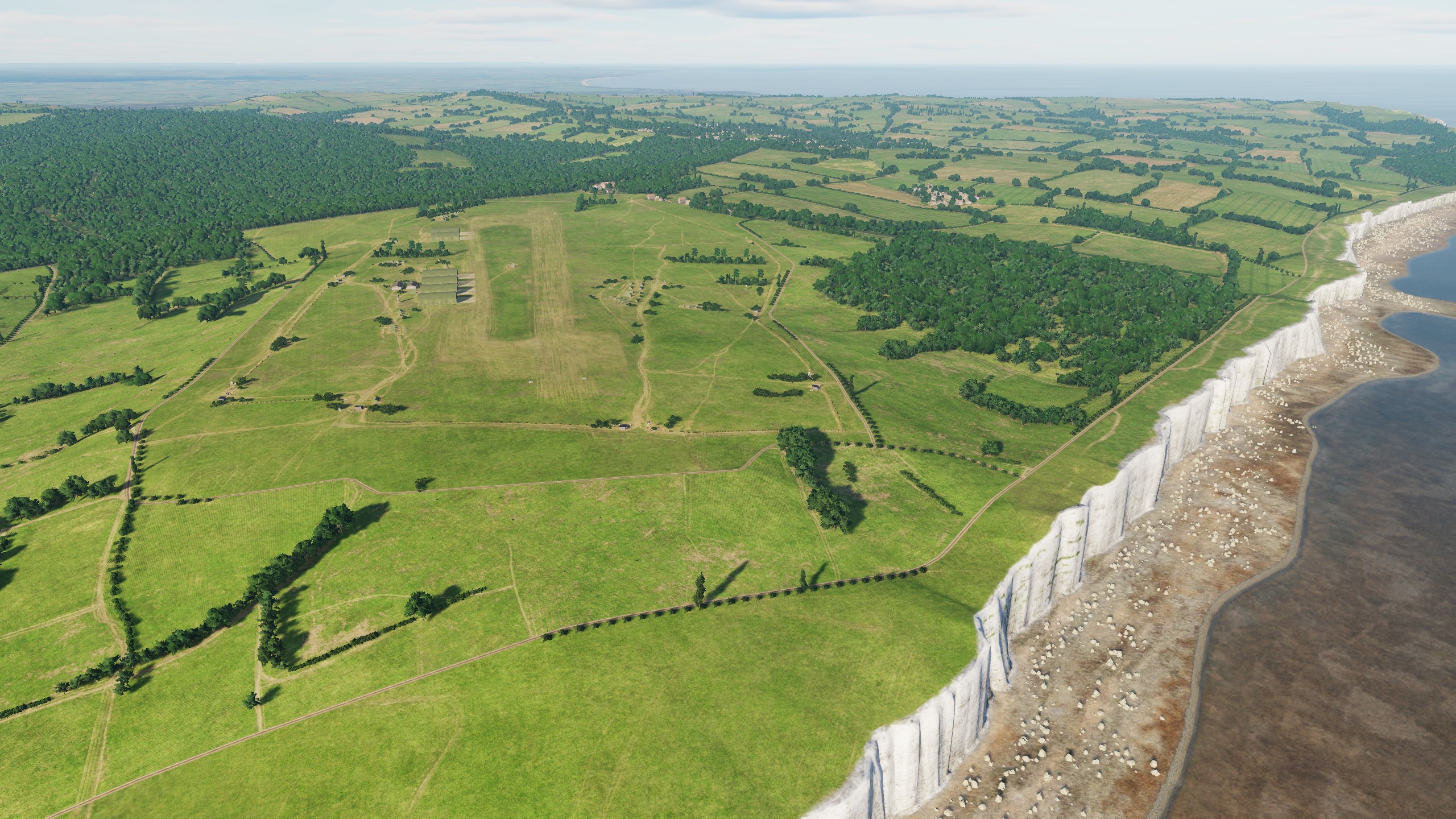
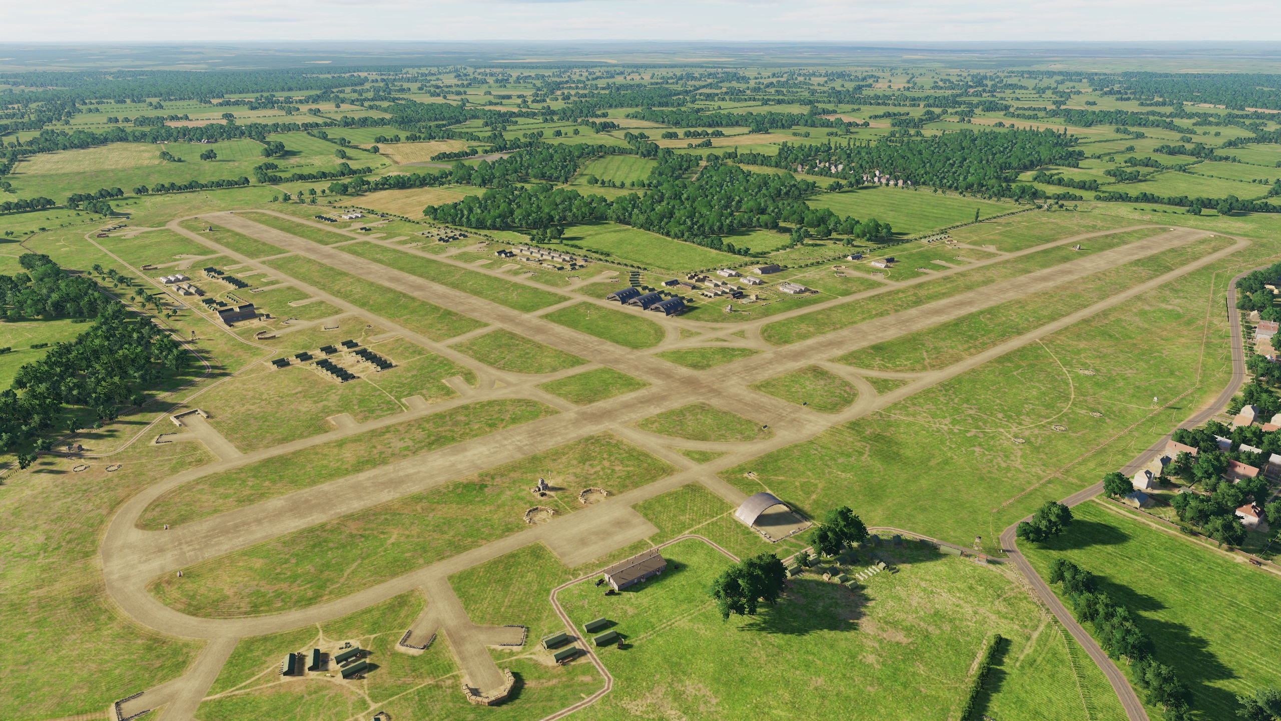
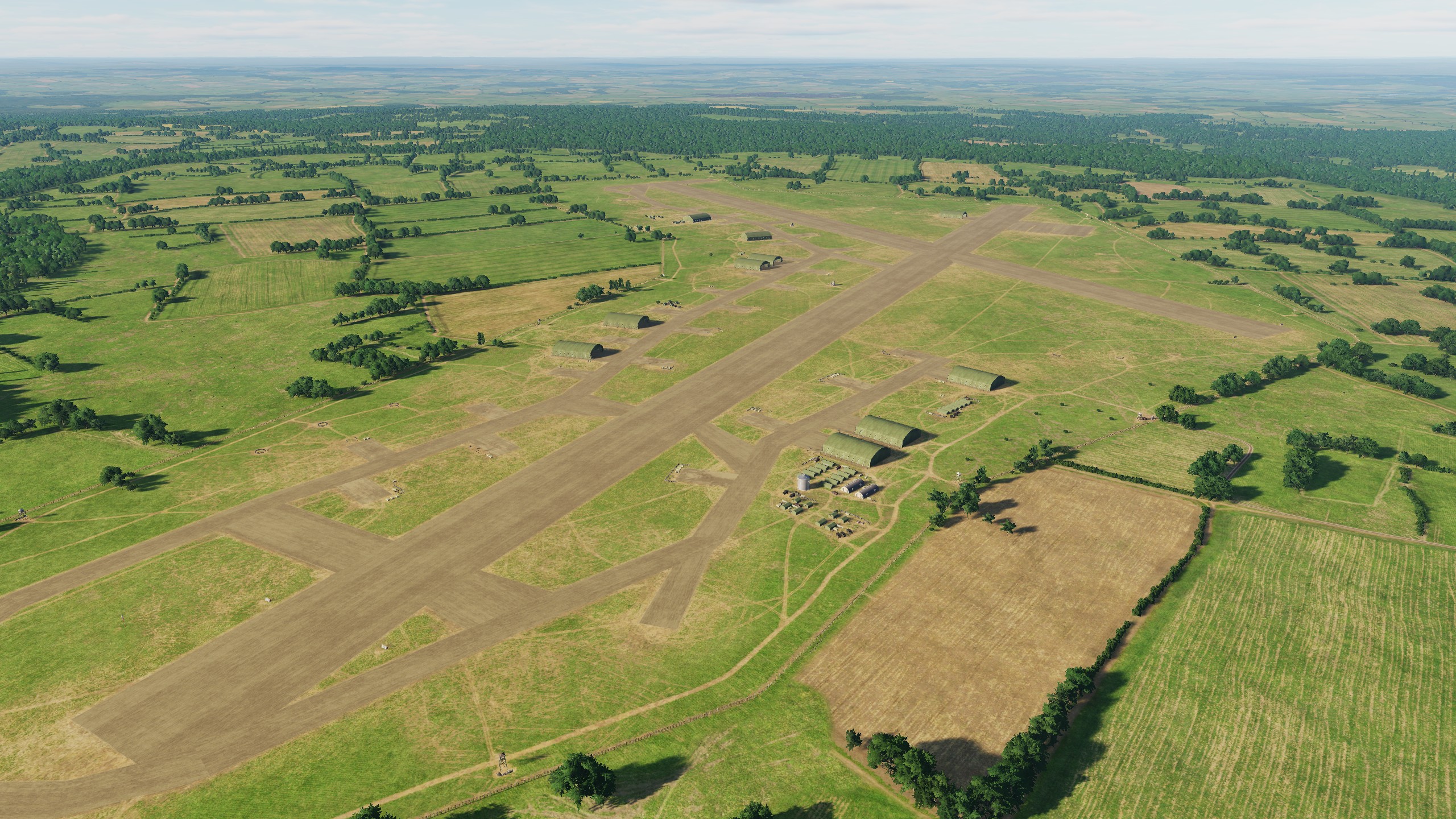
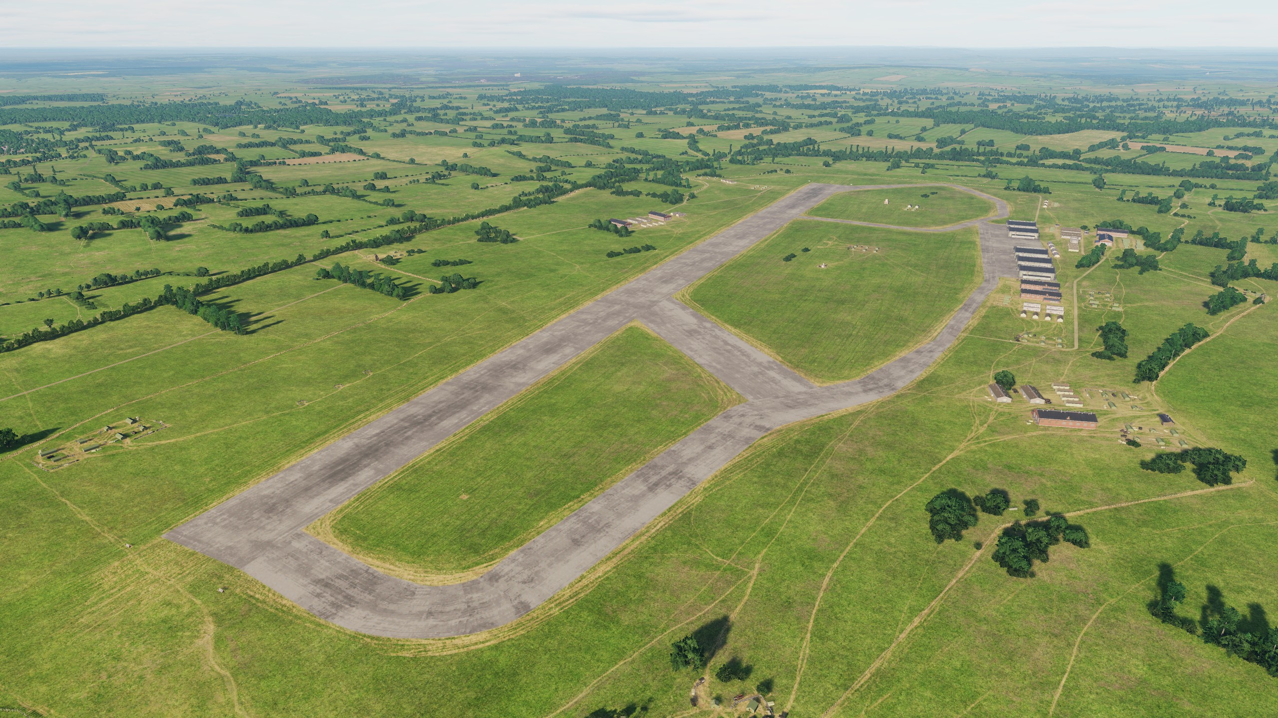
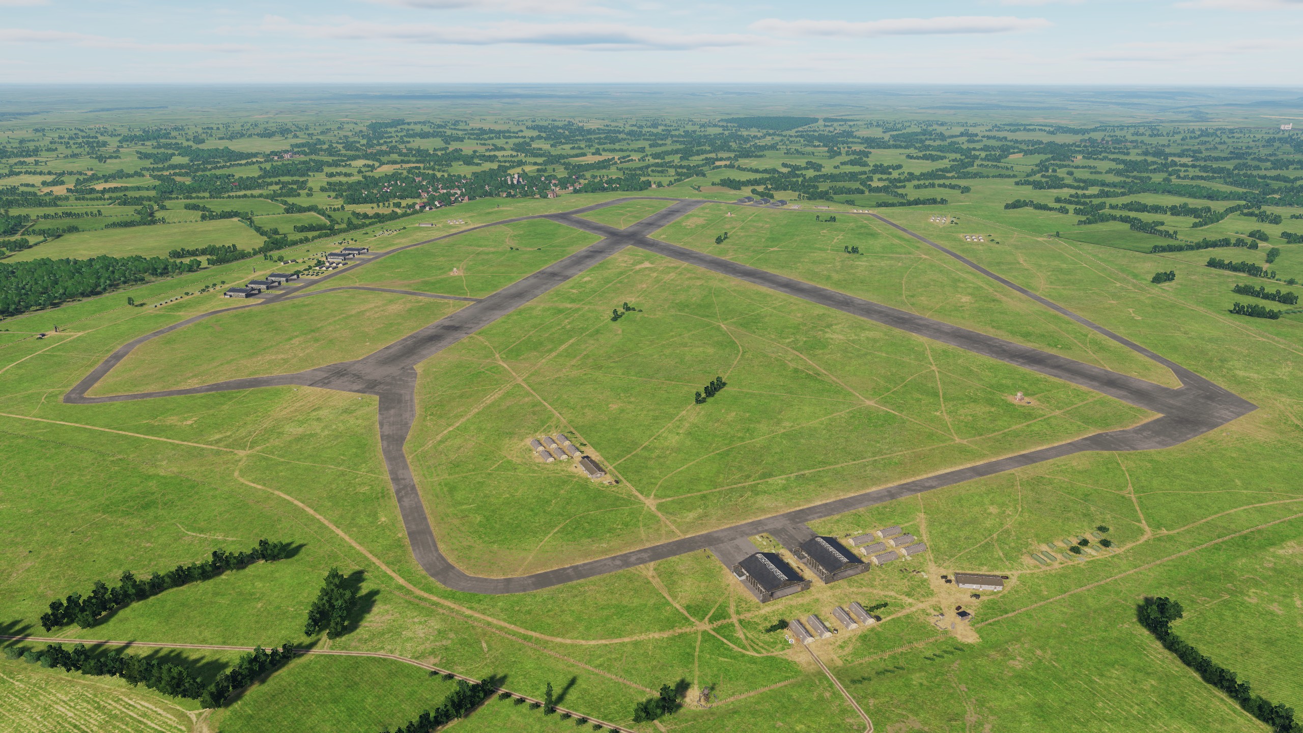
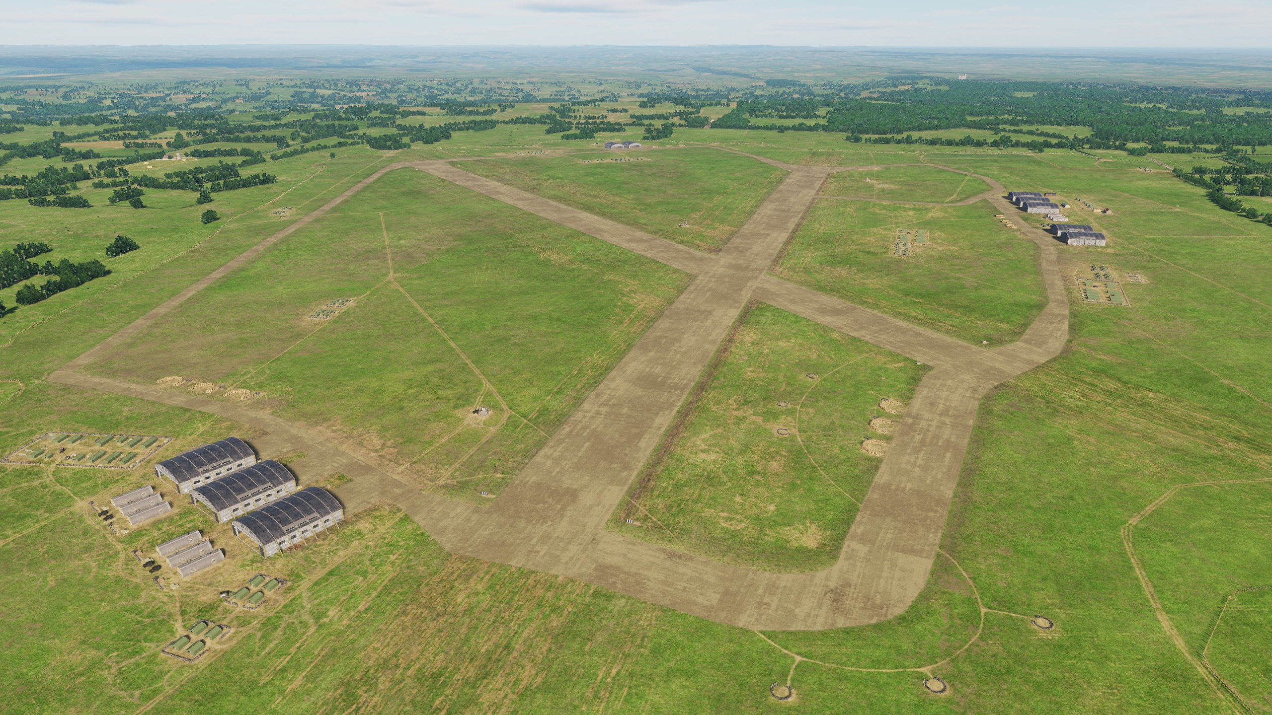
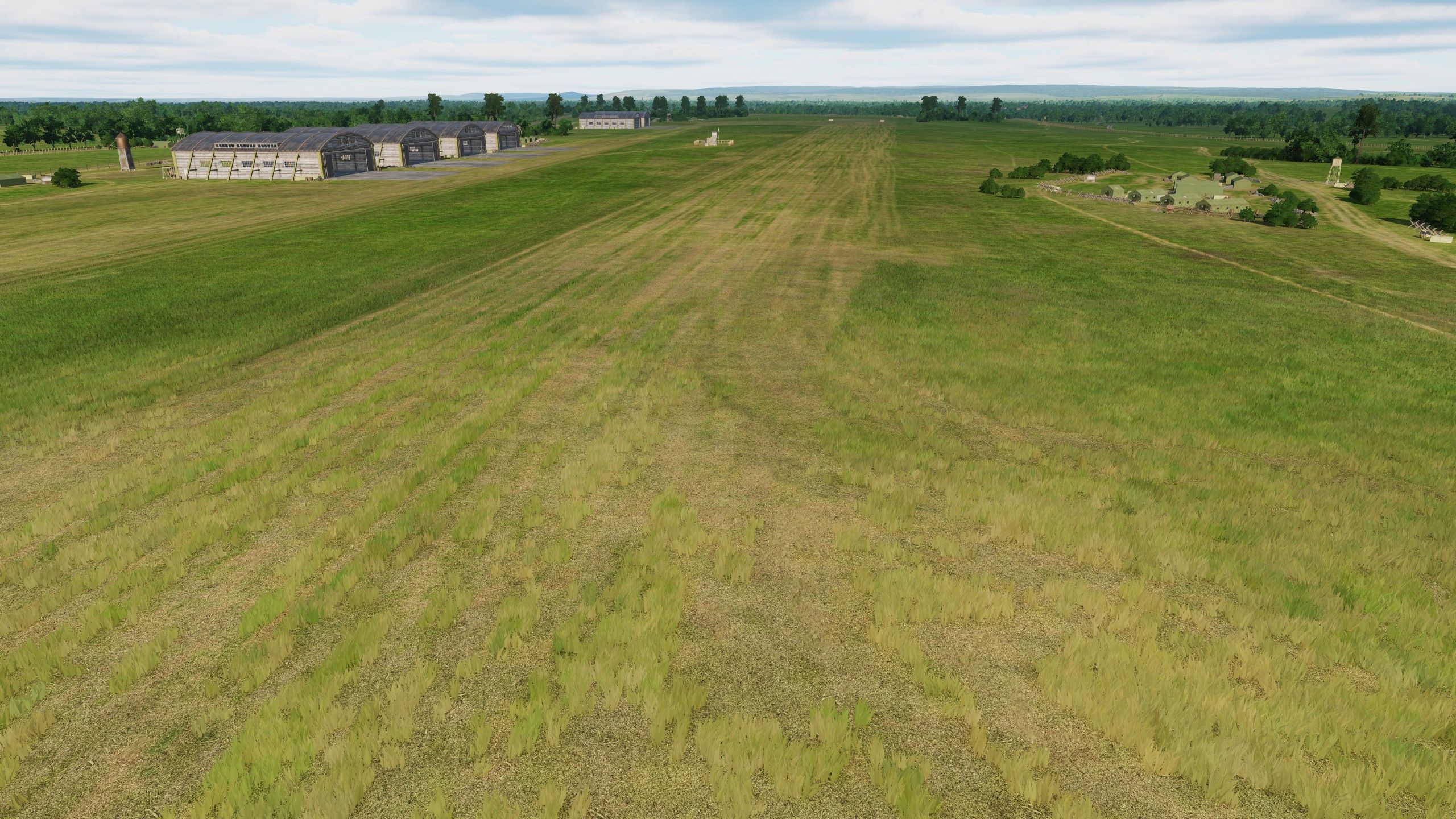
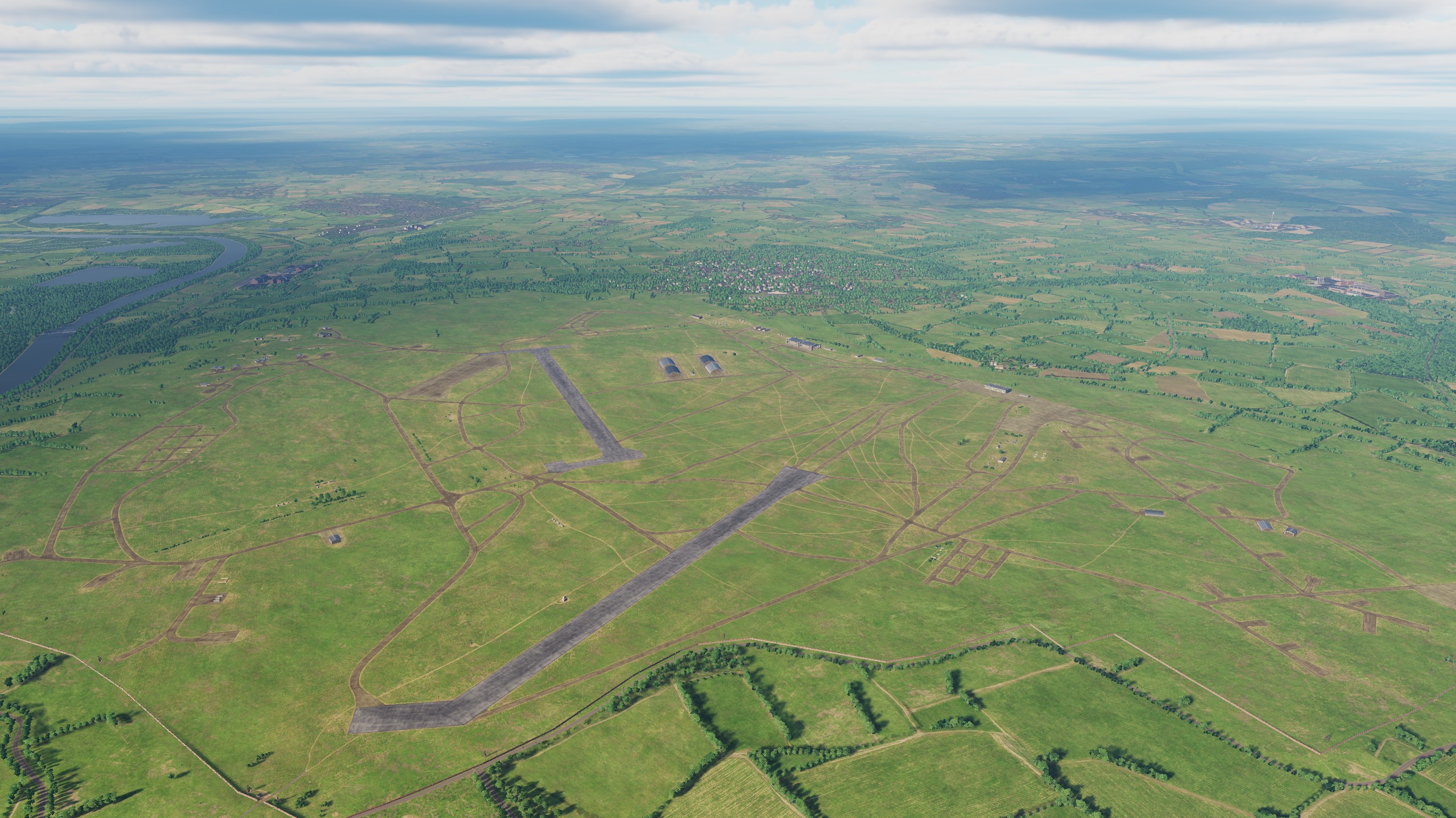
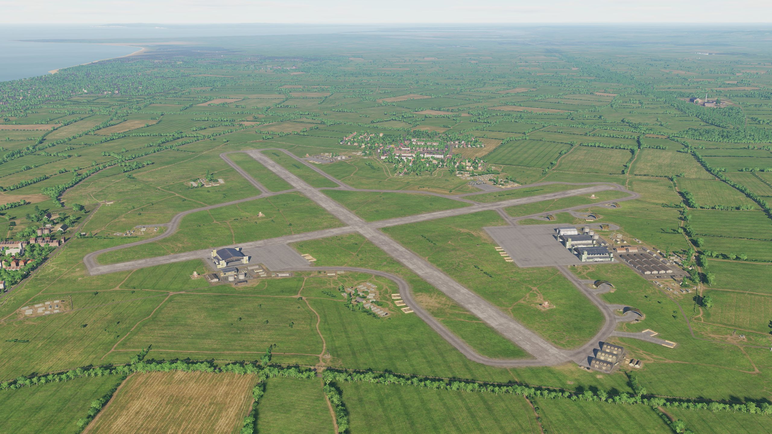
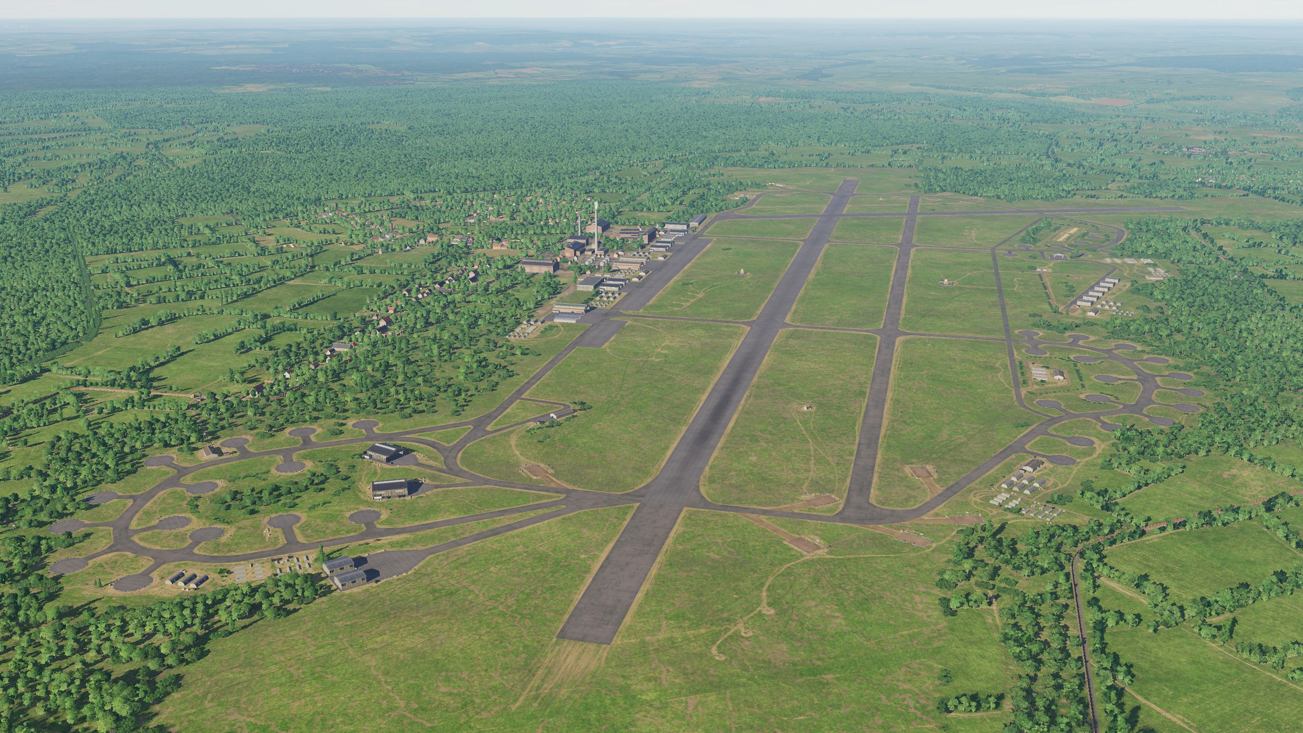
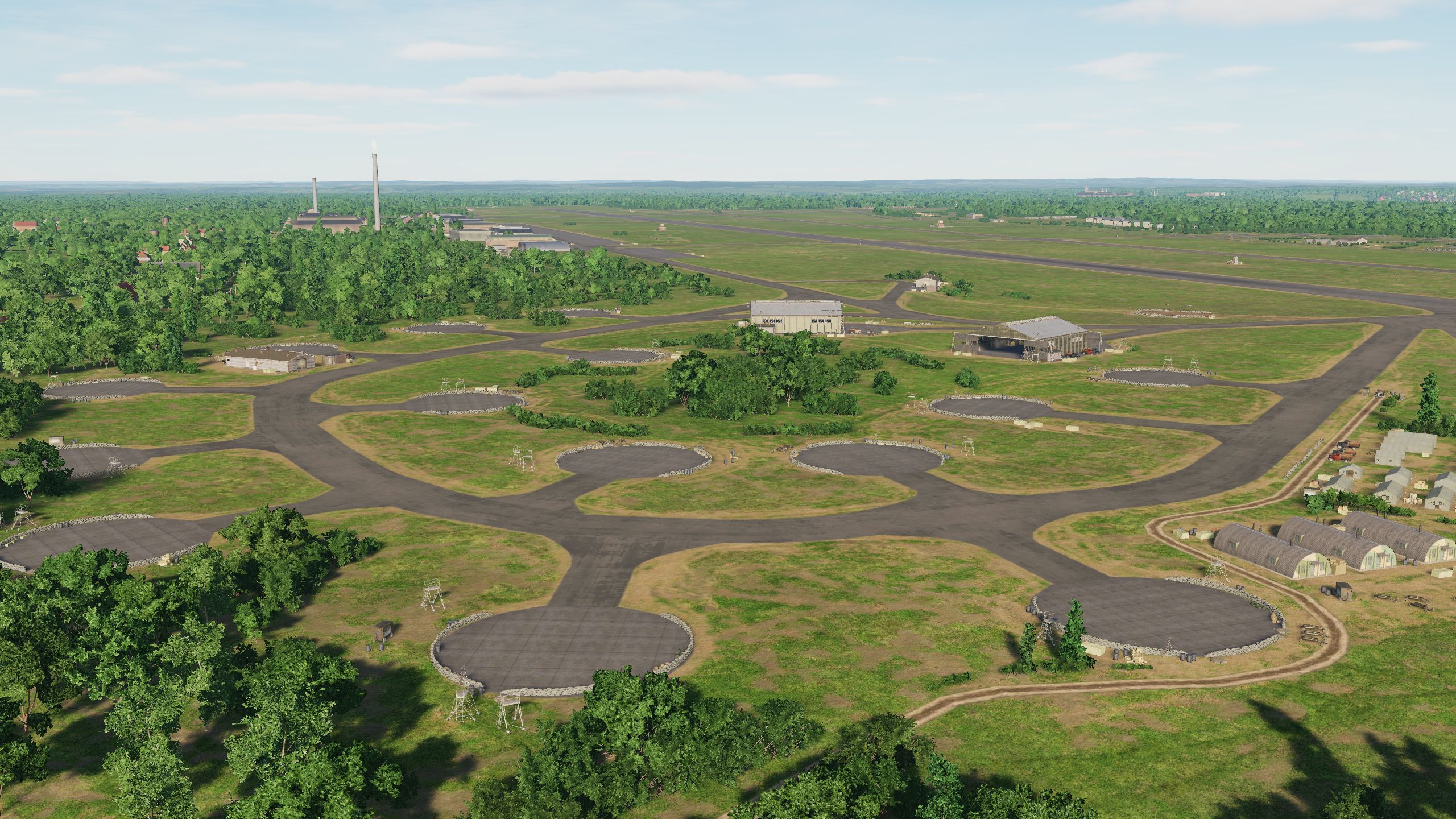
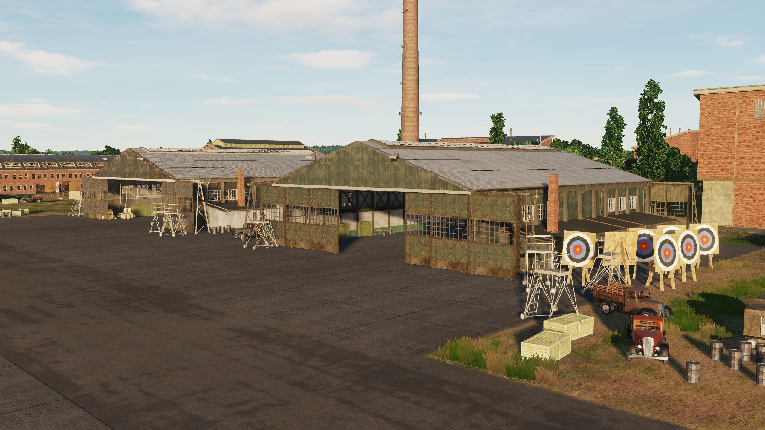
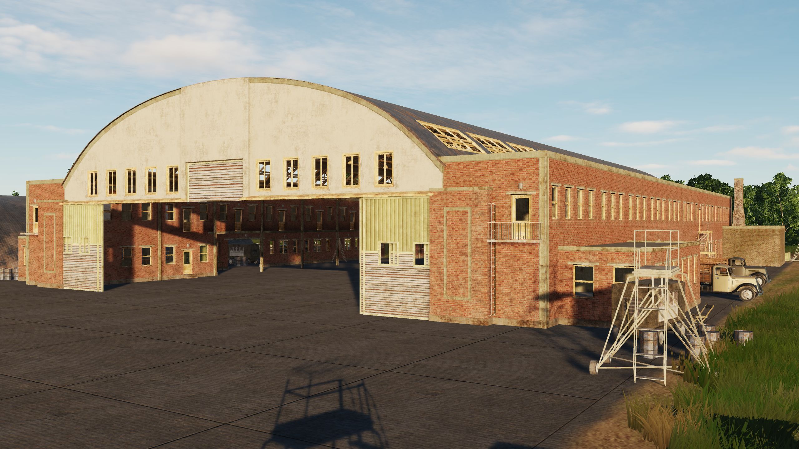
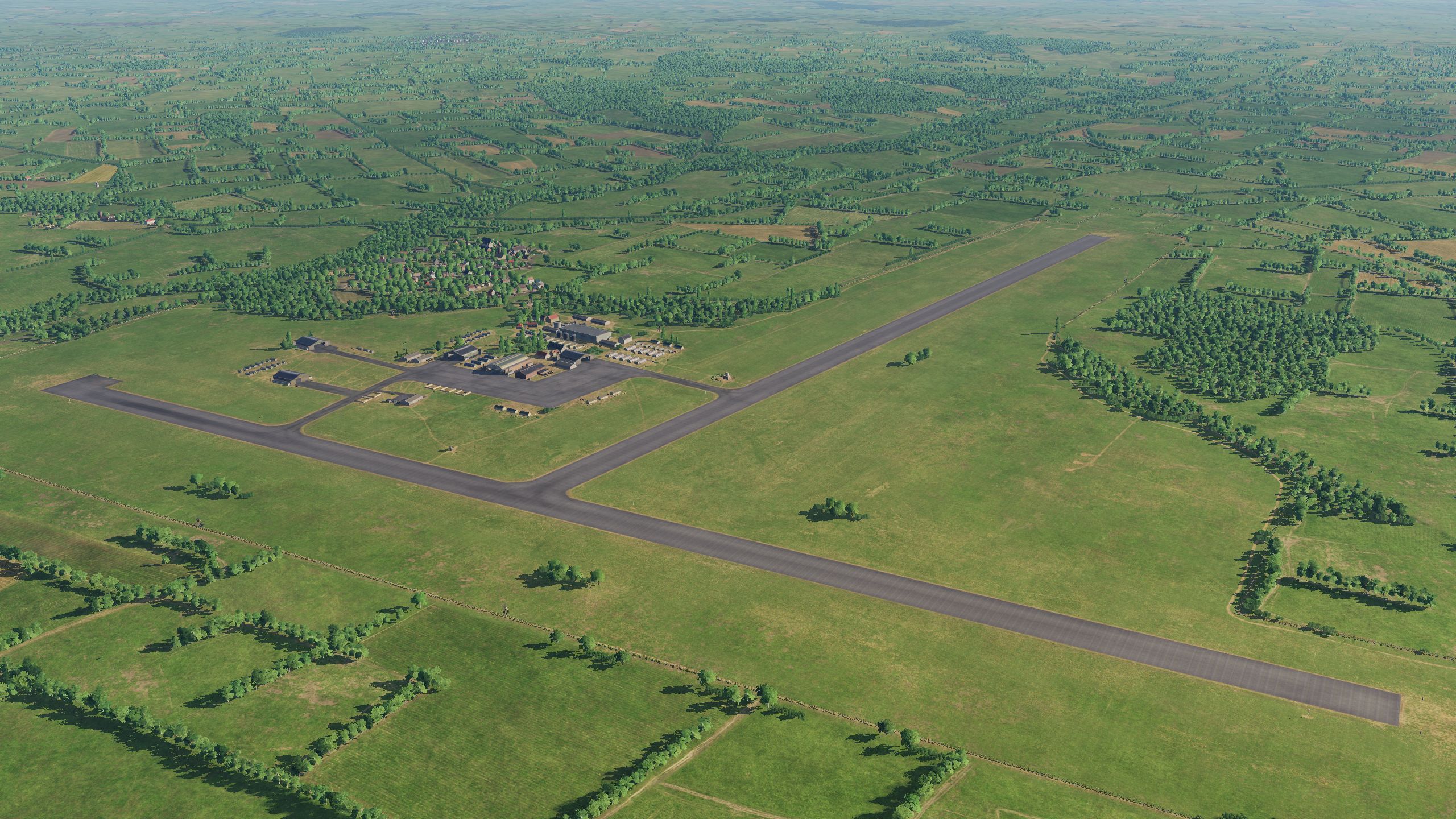
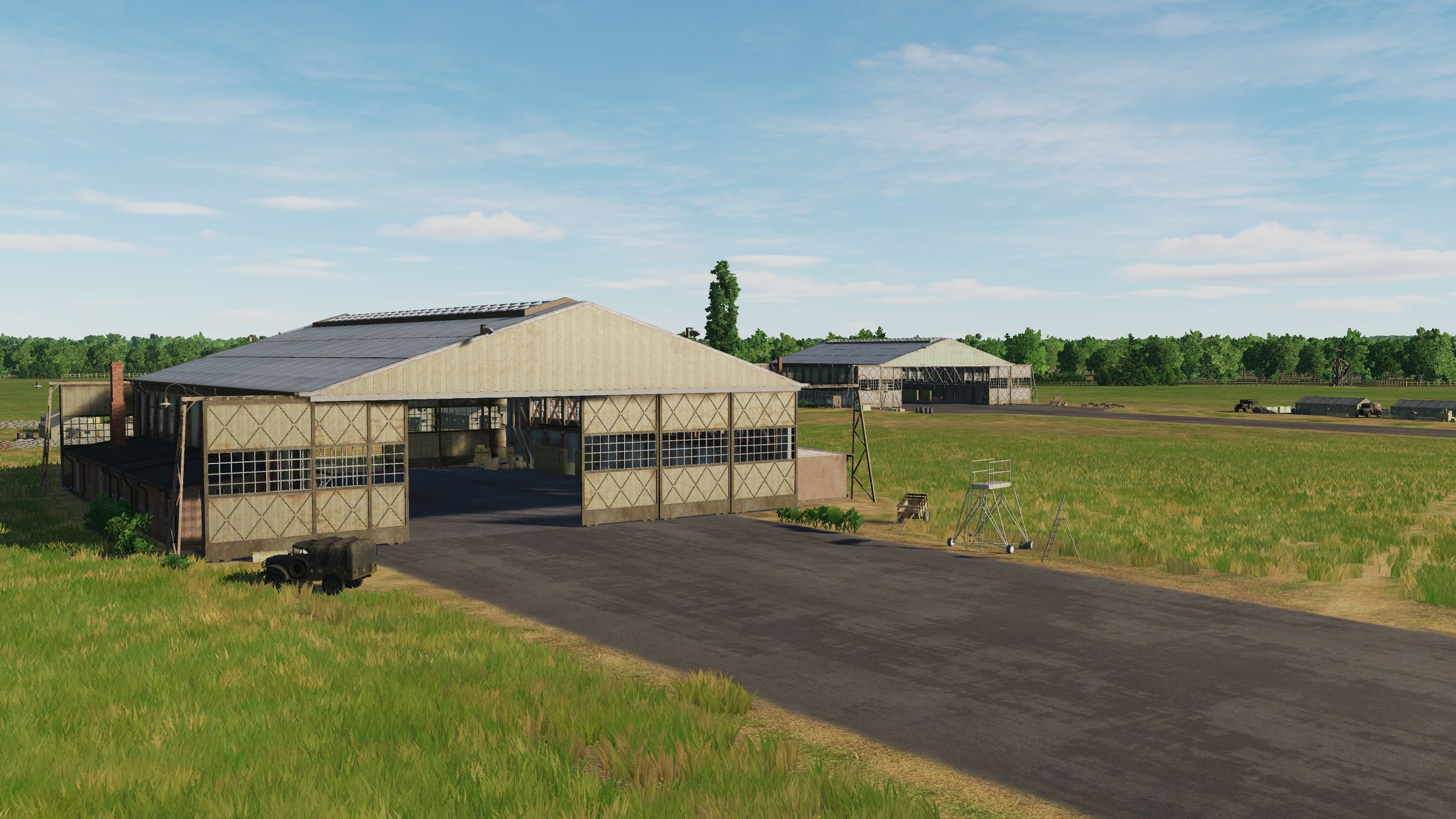
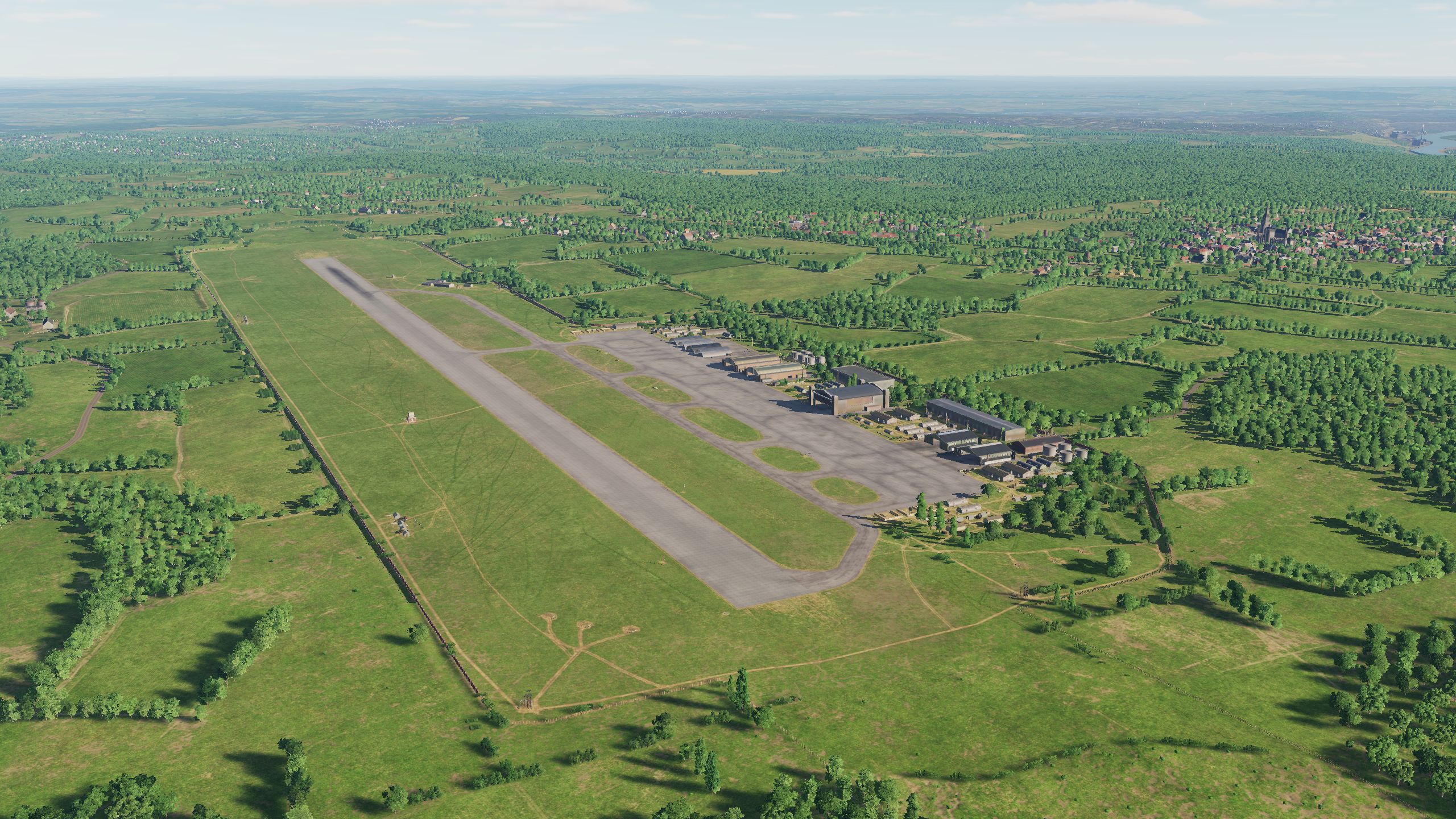
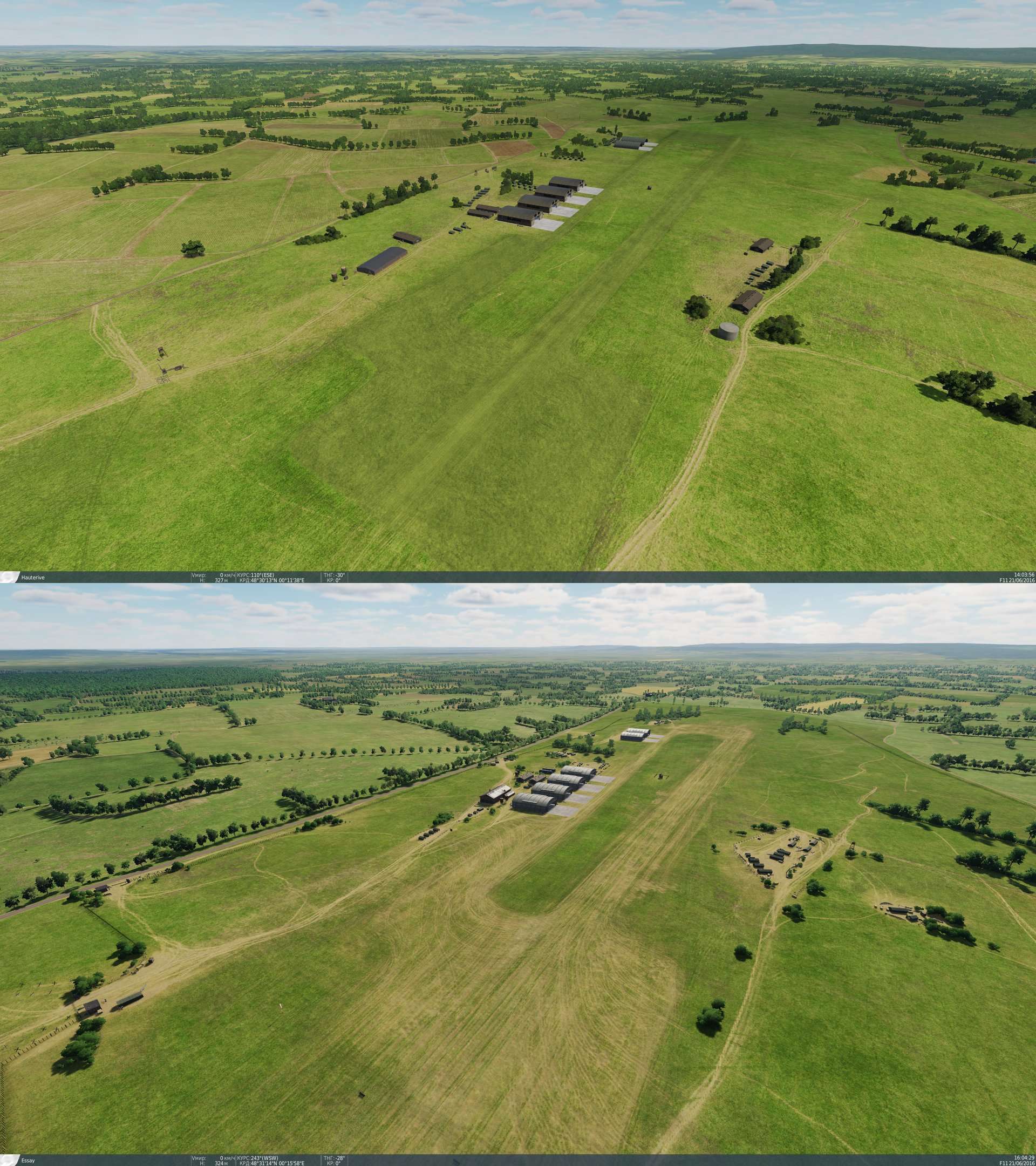
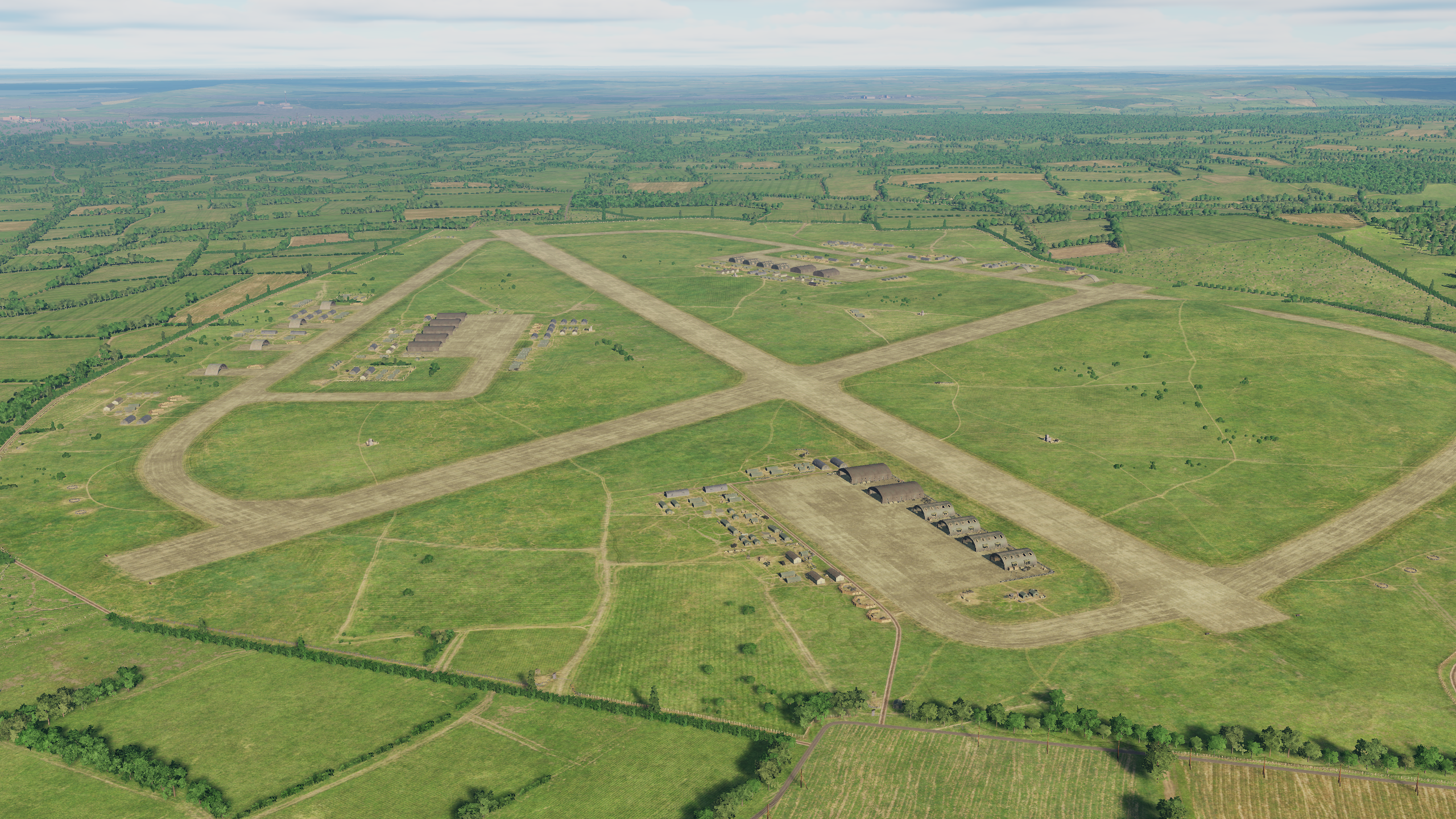
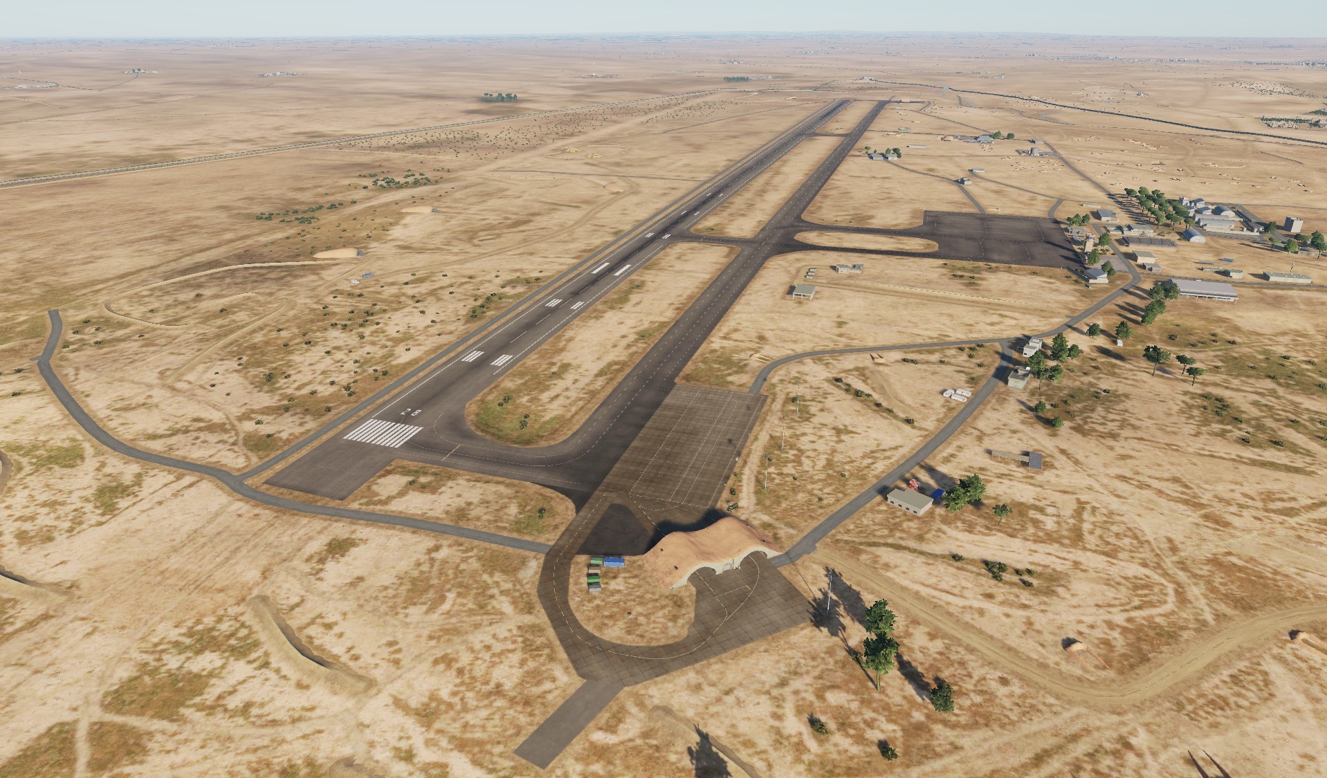
Hi Today we will visit some British and French airfields. This will be 3 English original airfields: Ford Funtington West Malling and 3 French original airfields: Creil Beauvais-Tille Villacoublay
- 377 replies
-
- 21
-
-
-
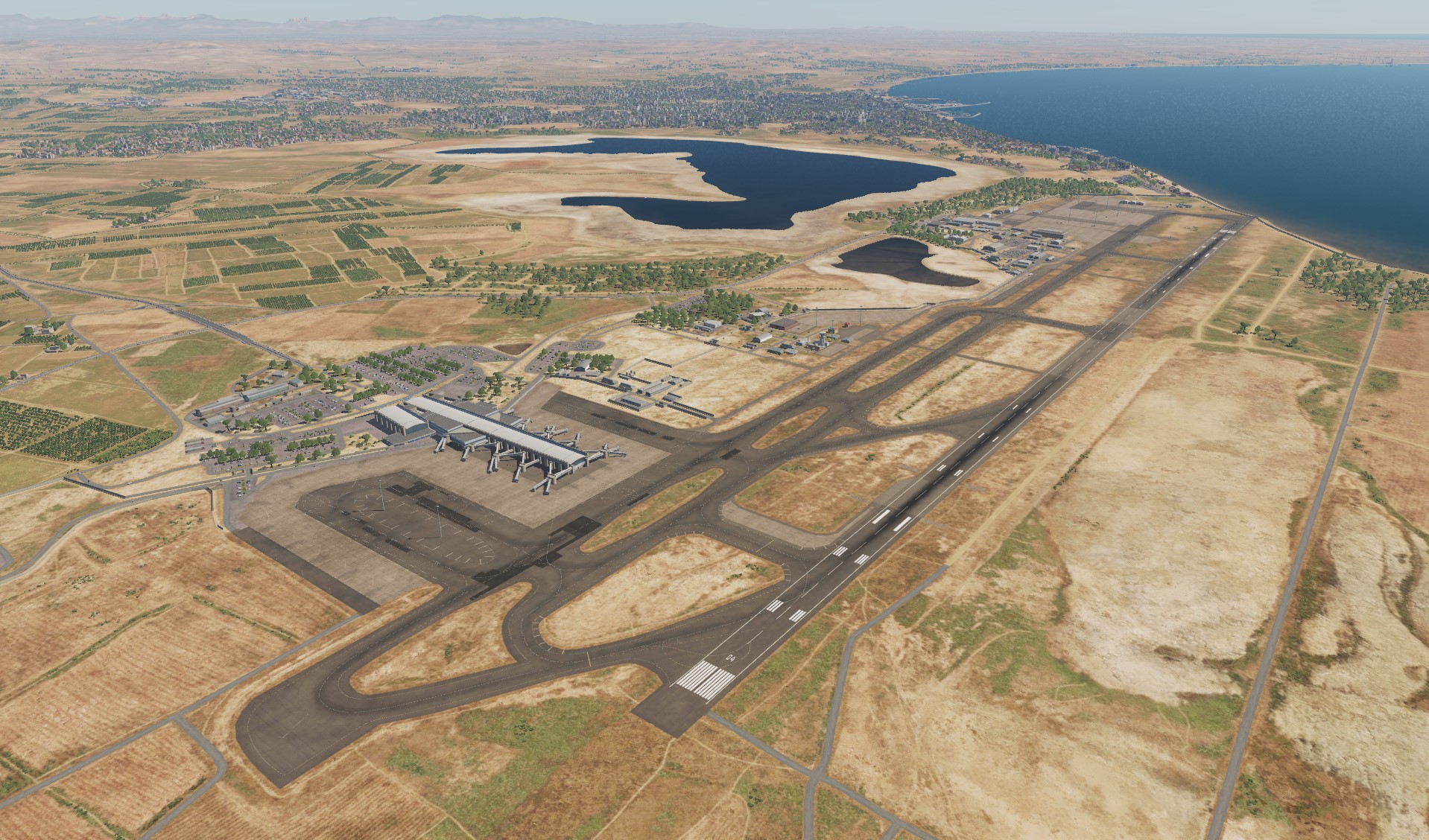
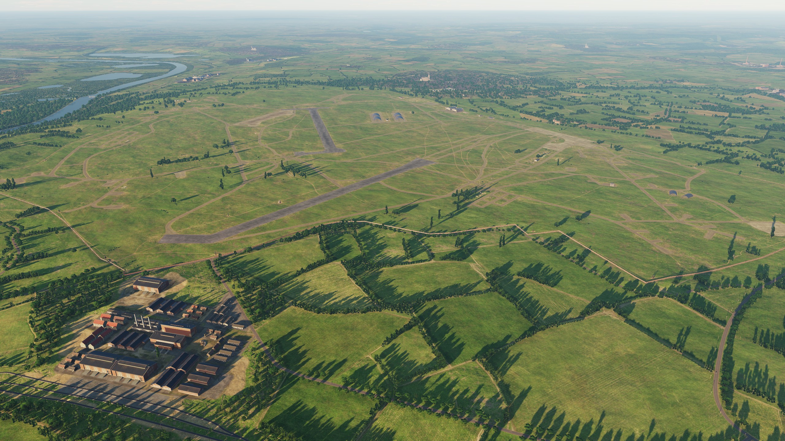
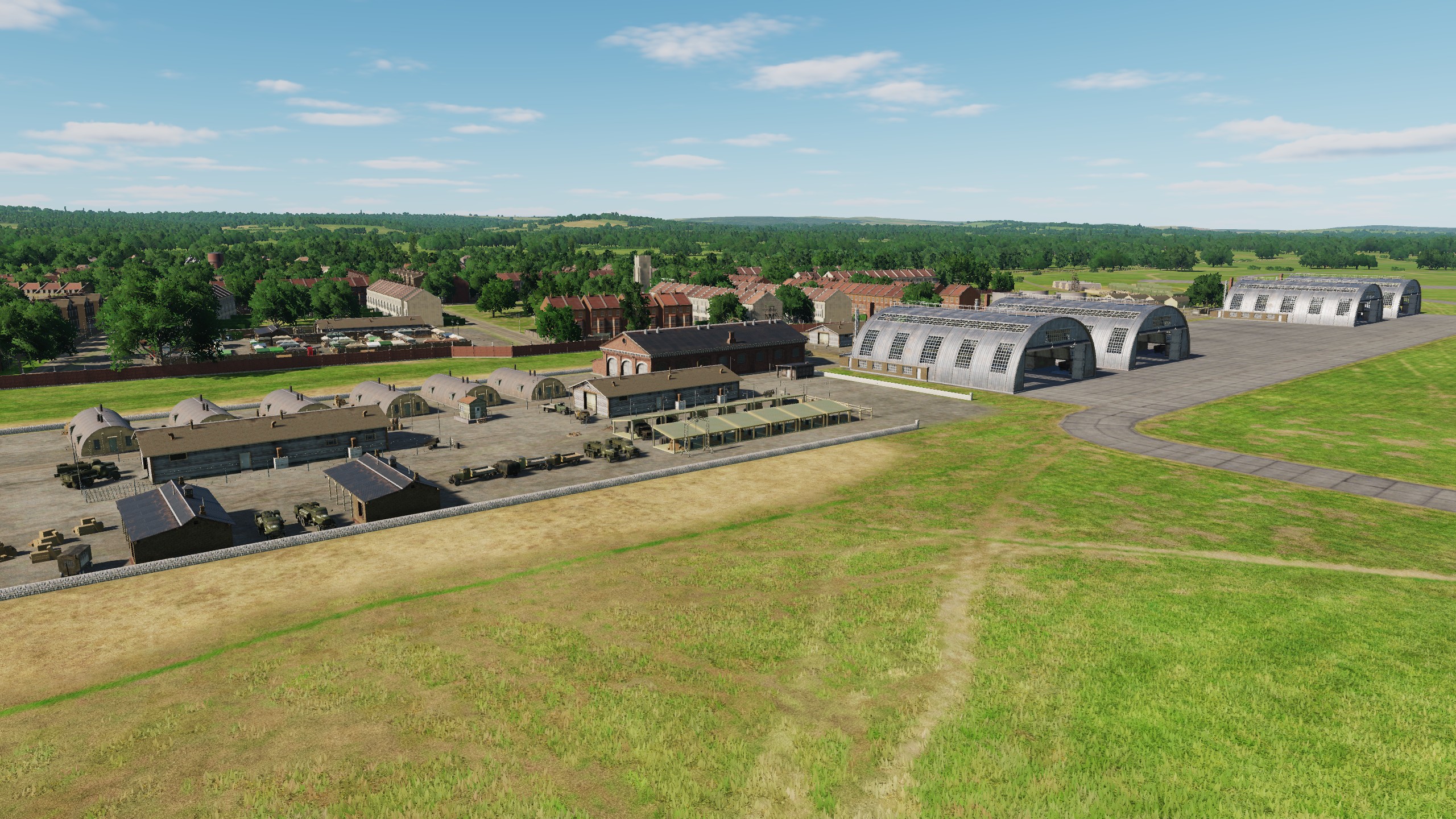
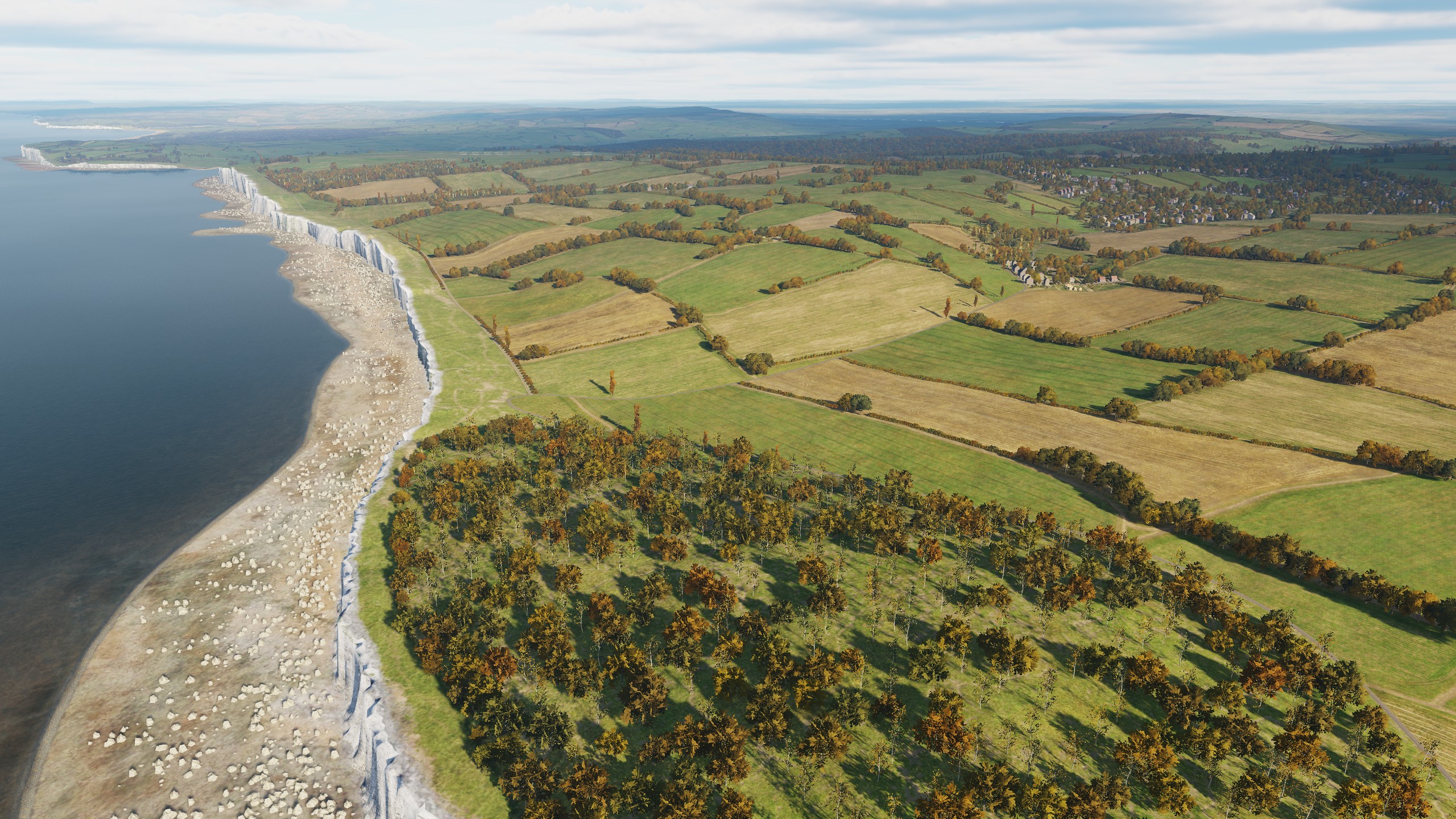
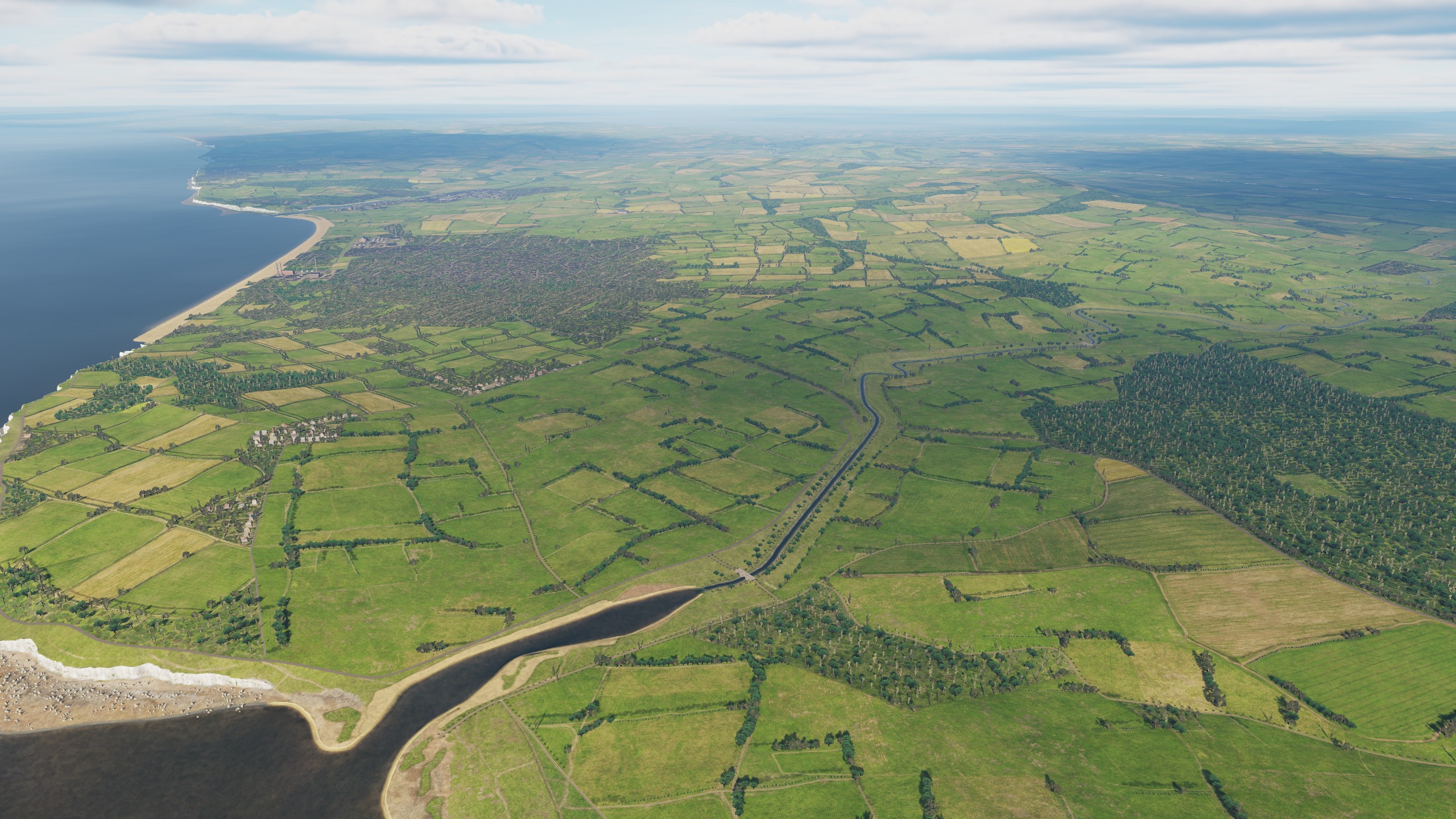
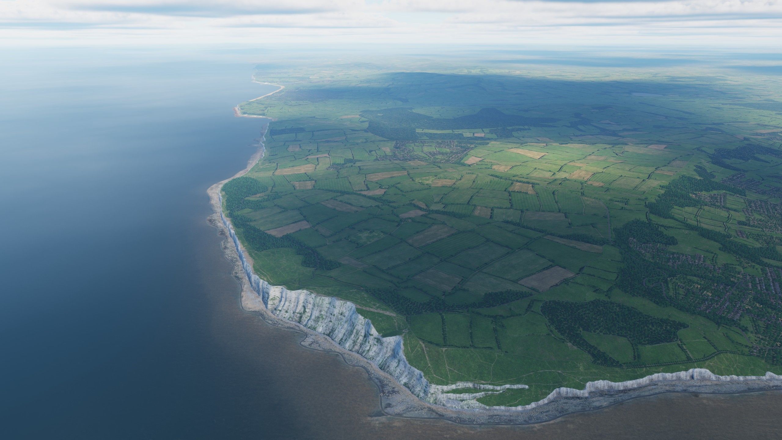
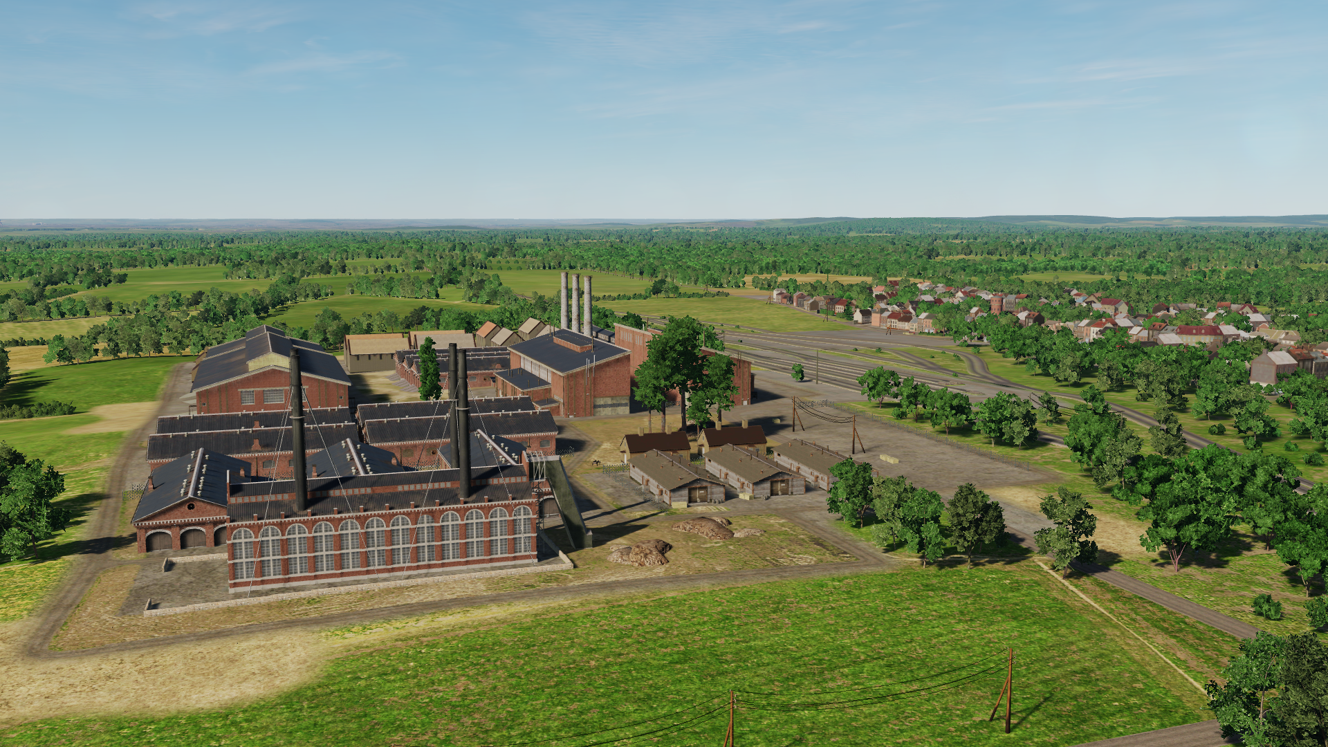
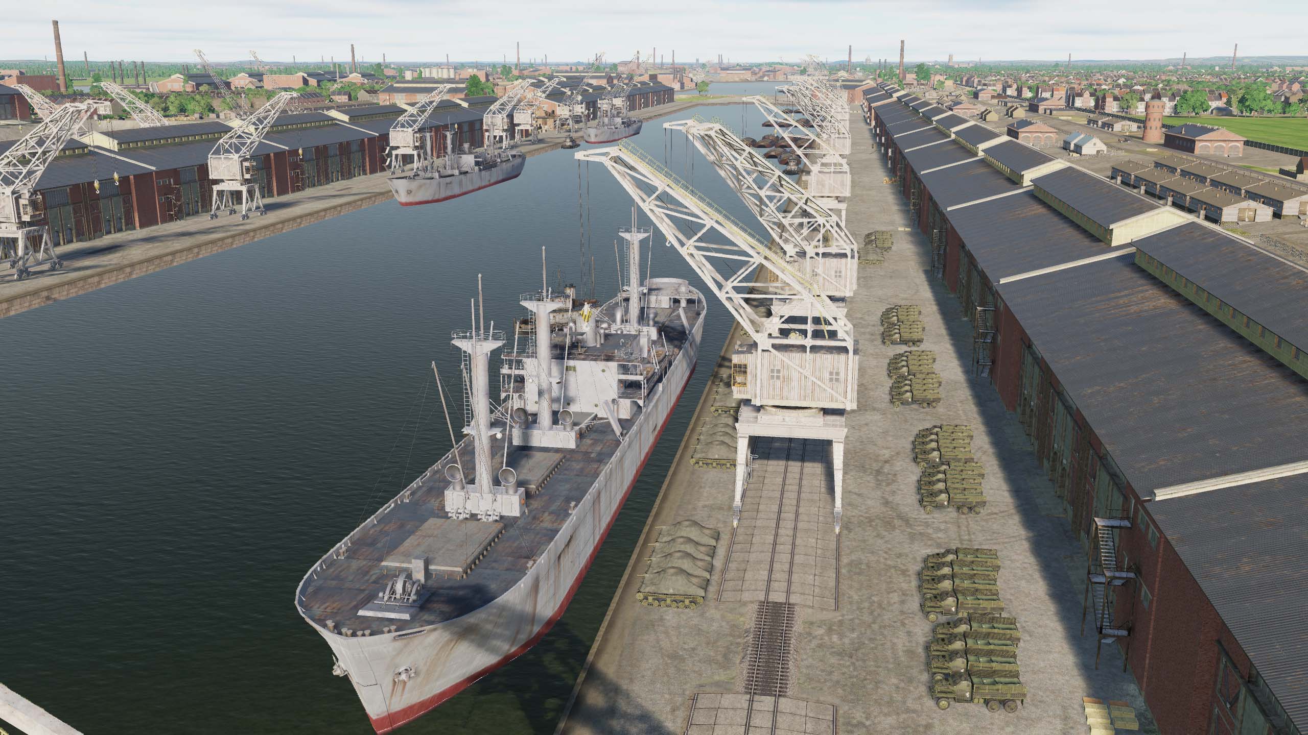
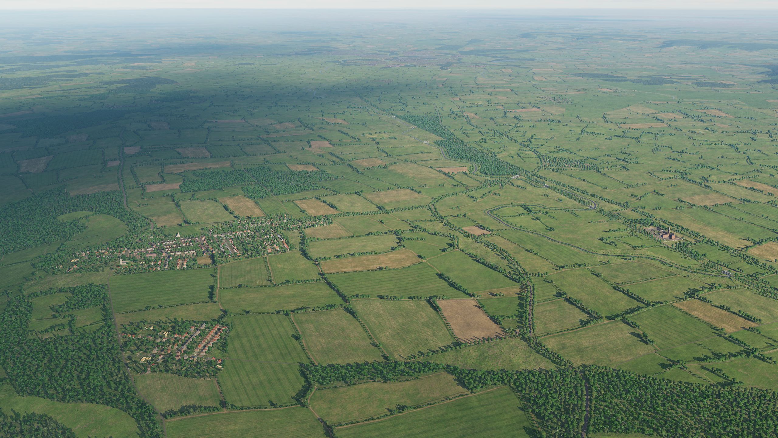
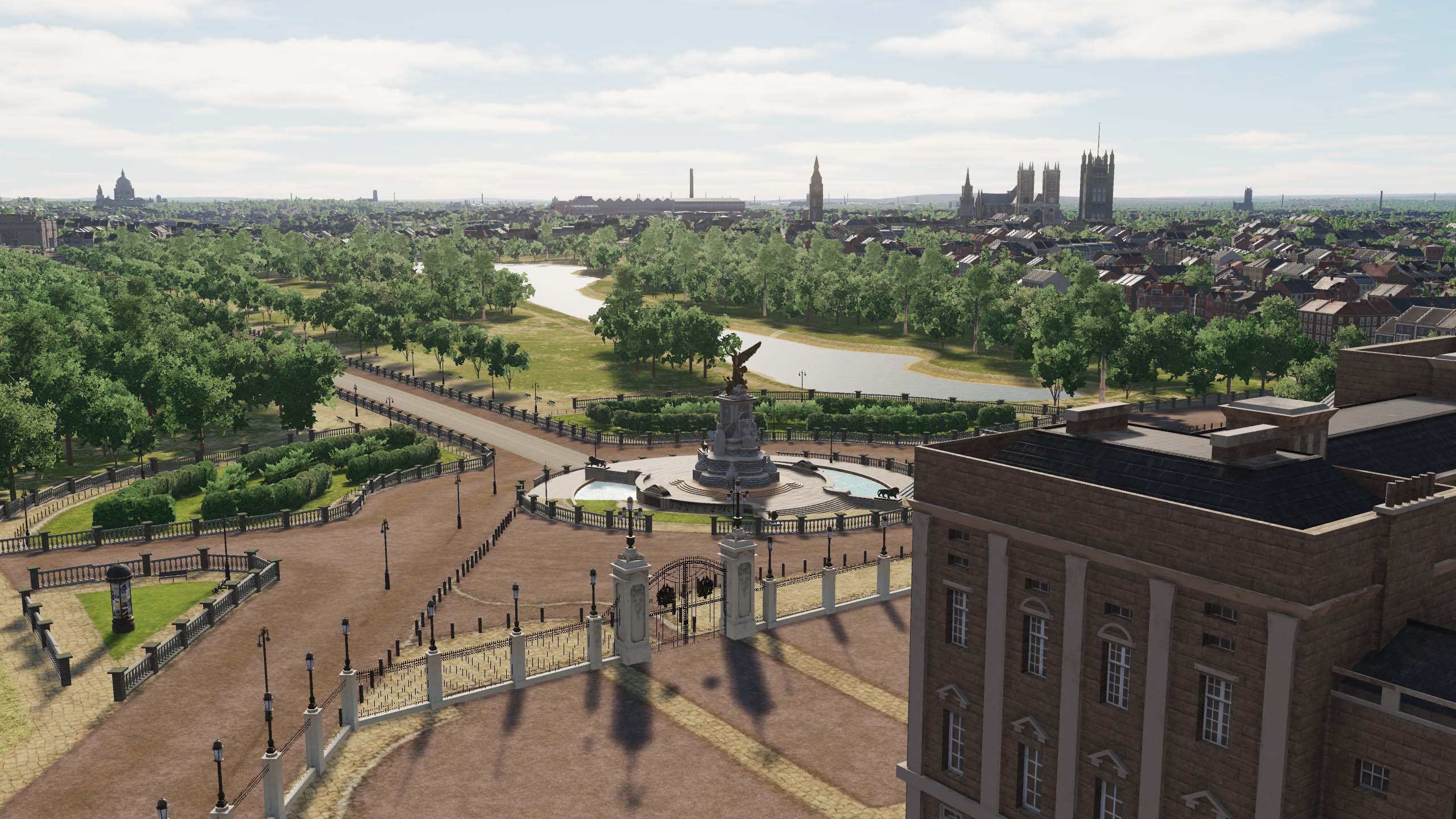
Hey! Let's continue: Why is Normandy 2 released separately and what about Normandy 1944? Normandy 2 is a new map that is created on new technologies and includes a territory much larger than N1944, much more perfect and detailed. The developers of UM and ED are making it so that all users of Normandy1944 will have a free global update available that will allow them to get their N1944 map at the Normandy 2 technology level and make these maps compatible in online multiplayer scenarios. Brighton (UK) You can see more pictures in this 2 theme: What happens when a player with just Normandy 1 spawns at a field on a Normandy 2 MP server that isn't on the Normandy 1 map? All obstacles and terrain for both maps will be the same after updates. Will the internal DCS map coordinates be the same as on the prior Normandy 1944, I mean the same coordinate origin and coordinate scales? Yes, the Origin and coordinate scales remain the same. How low is low detail? If I fly from one high detailed airbase to another high detailed base but pass through a low detailed area, how jarring will it be? We are currently doing a lot of work to ensure that the Normandie2 map is friendly to all DCS users. Beachy Head This is a screenshot of a highly detailed map area. Previously, this was a "low detail zone" on the 1944 Normandy map, but now it will be available to all users with this level of detail. This will be for the users of "Normandy 1944" and for the owners of "Normandy 2". I didn't understand what would happen to my Normandy 1944? The users will not lose anything, on the contrary, they will gain. The map will receive a global update: improvements to the southern part of England will become available with a detailed coastline and original airfields, there will be an update of buildings and airfields. Also, new terrain textures have been added for England. What airfields will be on the map? In addition to the 50 airfields announced, we are already working on airfields: Orly, Dreux, Stoney Cross, Thorney Island, Croydon, Odiham. By the time of release, the number of airfields will reach 65, which is more than on the map of Syria" Funtington Airfield
- 313 replies
-
- 22
-
-
-
You can see in these comparison screenshots
- 377 replies
-
- 37
-
-
-
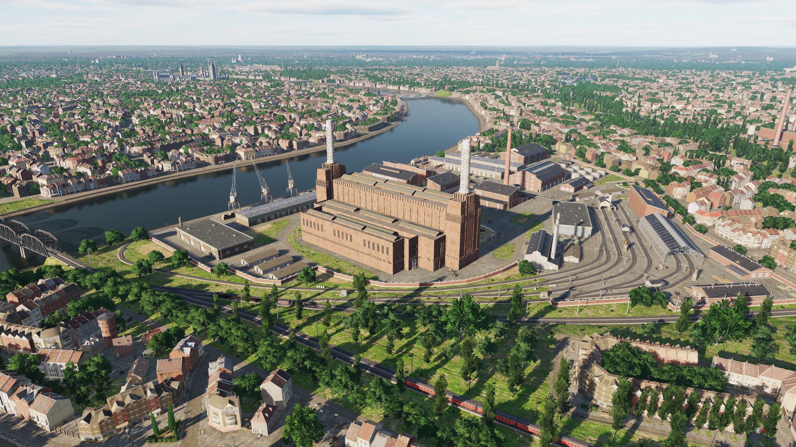
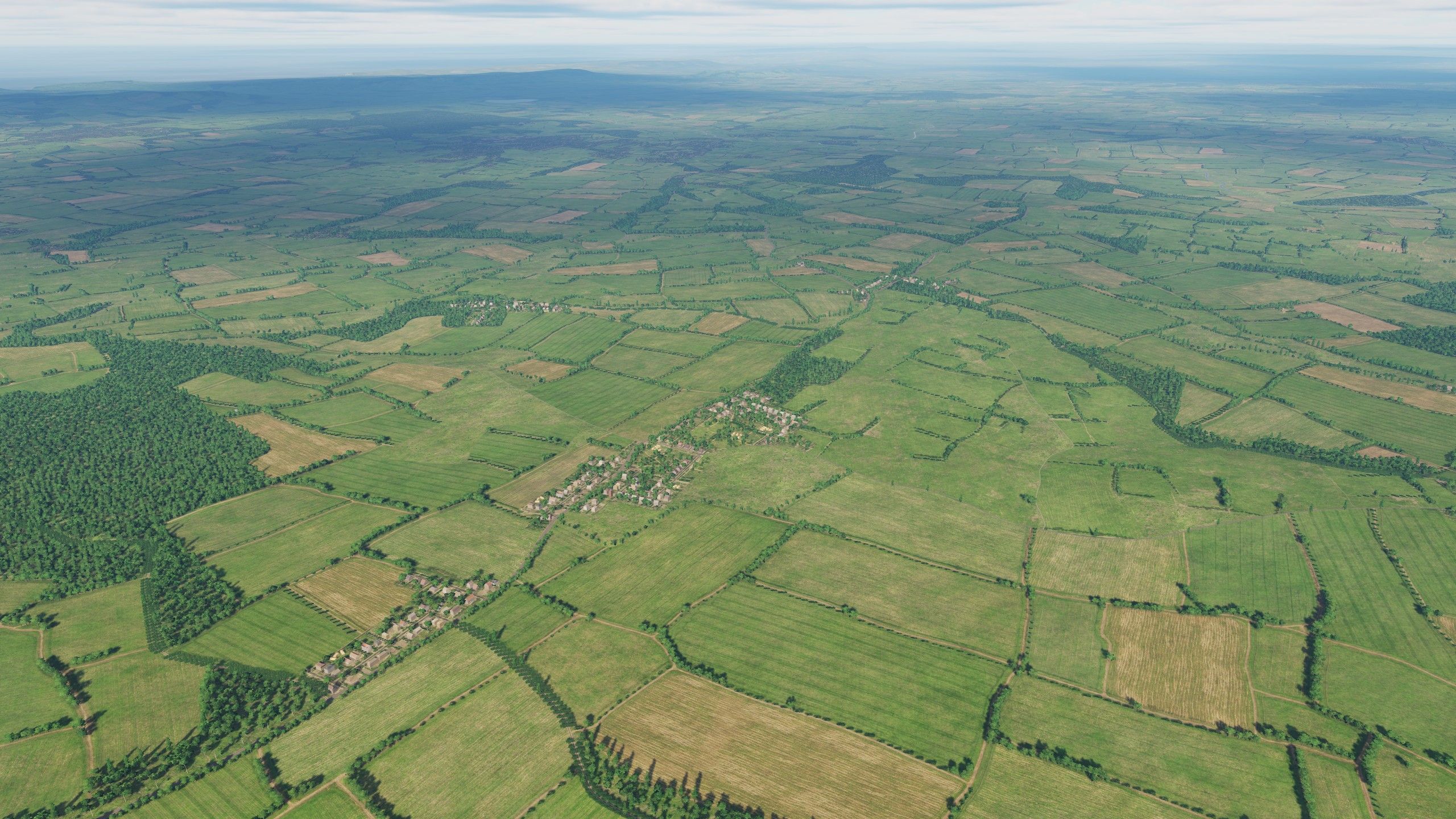
Hello! Today we will show you what we are currently working on. A lot of work has been done, and we can share with you the preliminary results.
- 377 replies
-
- 57
-
-
-
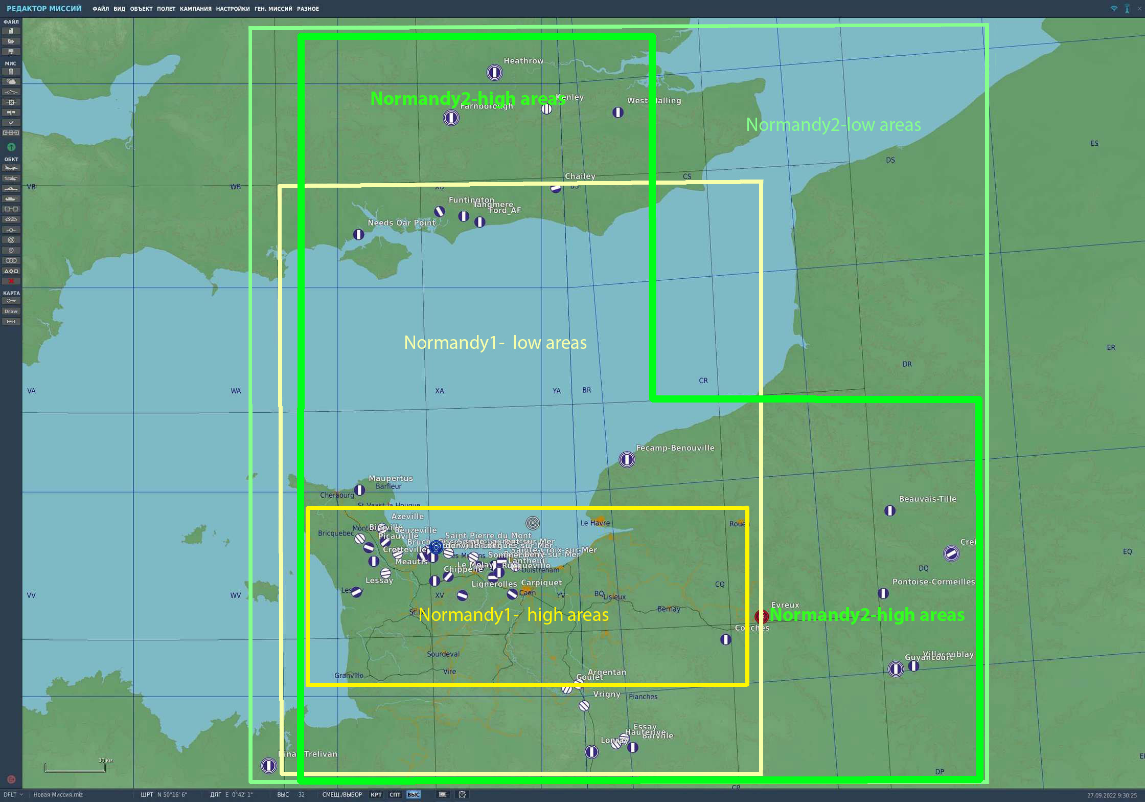
Hi! We have seen your questions and will try to answer them. When will it release? The intent is to release into Early Access before the end of 2022. However, this may extend into early 2023 based on testing results. How much will it cost? DCS: Normandy 2 will be available as a complete map for $59.99 USD with 20% off while in Early Access. If you have either DCS: Normandy 1944 or DCS: The Channel maps, you can purchase Normandy 2 for $14.99 USD. If you own both, you can purchase DCS: Normandy 2 for only $9.99 USD. How big is the Normandy 2.0 map compared to the Normandy 1944 map? Please see the attached image that illustrates the low and high detail areas of the Normandy 2.0 map compared to the existing Normandy 1944 map. The Normandy 2.0 map will be 400x600 km, which will make it significantly larger than the Normandy 1944 map. Is this a combining the Normandy 1944 and Channel maps? No, this is an all-new map that covers all the same area as the Normandy 1944 map, plus an extensive expansion that also covers large parts of the same area included in the Channel map. What new cities and landmarks have been added? Chief of among them are London and Paris, but it will also include many new medium to small size urban areas that make up the greatly expanded area. This will also include new ports, airfields, factories, rivers, canals, and more. Most of the Normandy 1944 map objects have also been greatly improved like buildings, bridges, airfield objects, rail lines, roads, trees, fences, poles, and more. What airfields will be included at release? The total number of airfields has bee increases to 50 for the Early Access version. This may further increase after Early Access release. Please see the attached map for a listing of the initial airfields. Am I paying for the same map twice? No, this is a new map, not an upgrade to the existing Normandy 1944 map. Although the Normandy 2.0 map includes the same area covered in the Normandy 1944 map, it is much larger with greater detail, accuracy, texture resolution, and trees. Because the Normandy 1944 map was created using older map technology and tools, it is not possible to simply expand the size of that existing map. The Normandy 2.0 map has been created with new map technology and tools that has allowed us to greatly increase the map size and amount of detail. Because they are different maps, all existing missions and campaigns created for the Normandy 1944 and the Channel maps will continue to function on those maps, nothing changes. However, missions created for the Normandy 1944 map would not work in the Normandy 2.0 map. As such, the Normandy 1944 and Channel map will continue to be for sale. If I only own the Normandy 1944 Map, will I be able to join servers running the Normandy 2.0 map? Yes, but detail areas included in the Normandy 2.0 map and not in the Normandy 1944 map would be at low detail and missing world objects. This item is still being worked on and may change. Will the framerates be worse than the current Normandy 1944 map? Using the latest Terrain Development Kit (TDK), we have optimized Normandy 2.0, despite an increase in the number of objects. You should see no loss in performance compared to the Normandy 1944 map. Will there be winter textures? We plan for the Normandy 2.0 to only include the summer season as it is being created around operations in Normandy in the summer of 1944 (Opération Neptune). What airfields are there in Normandy 2.0 Airfields in France A1 Saint Pierre du Mont A2 Cricqueville-en-Bessin B17 Carpiquet A12 Lignerolles A14 Cretteville A15 Maupertus A16 Brucheville A20 Lessay - оригинальны A3 Cardonville A4 Deux Jumeaux A5 Chippelle A7 Azeville B9 Lantheuil A17 Meautis A21 Sainte-Laurent-sur-Mer A24 Biniville A6 Beuzeville A8 Picauville A9 Le Molay B11 Longues-sur-Mer B2 Bazenville B3 Sainte-Croix-sur-Mer B4 Beny-sur-Mer B7 Rucqueville B8 Sommervieu Beauvais-Tille Cormeilles-en-Vexin Dinan-Trelivan Fecamp_Benouville Evreux Guyancourt Villacoublay Saint-Andre de l Eure Orly Amiens_Glisy Argentan Avranches Le Val-Saint-Pere Barville Conches Creil Deauville Essay Flers Goulet Hauterive Lonrai Poix Ronai Rouen-Boos Saint-Aubin Triqueville Vrigny Broglie Beaumont-le-Roger Bernay Saint Martin Airfields in UK Chailey Farnborough Ford Funtington Gravesend Heathrow Kenley Needs Oar Point Tangmere West Malling Deanland Friston Lymington Odiham Stoney Cross
- 313 replies
-
- 32
-
-
-
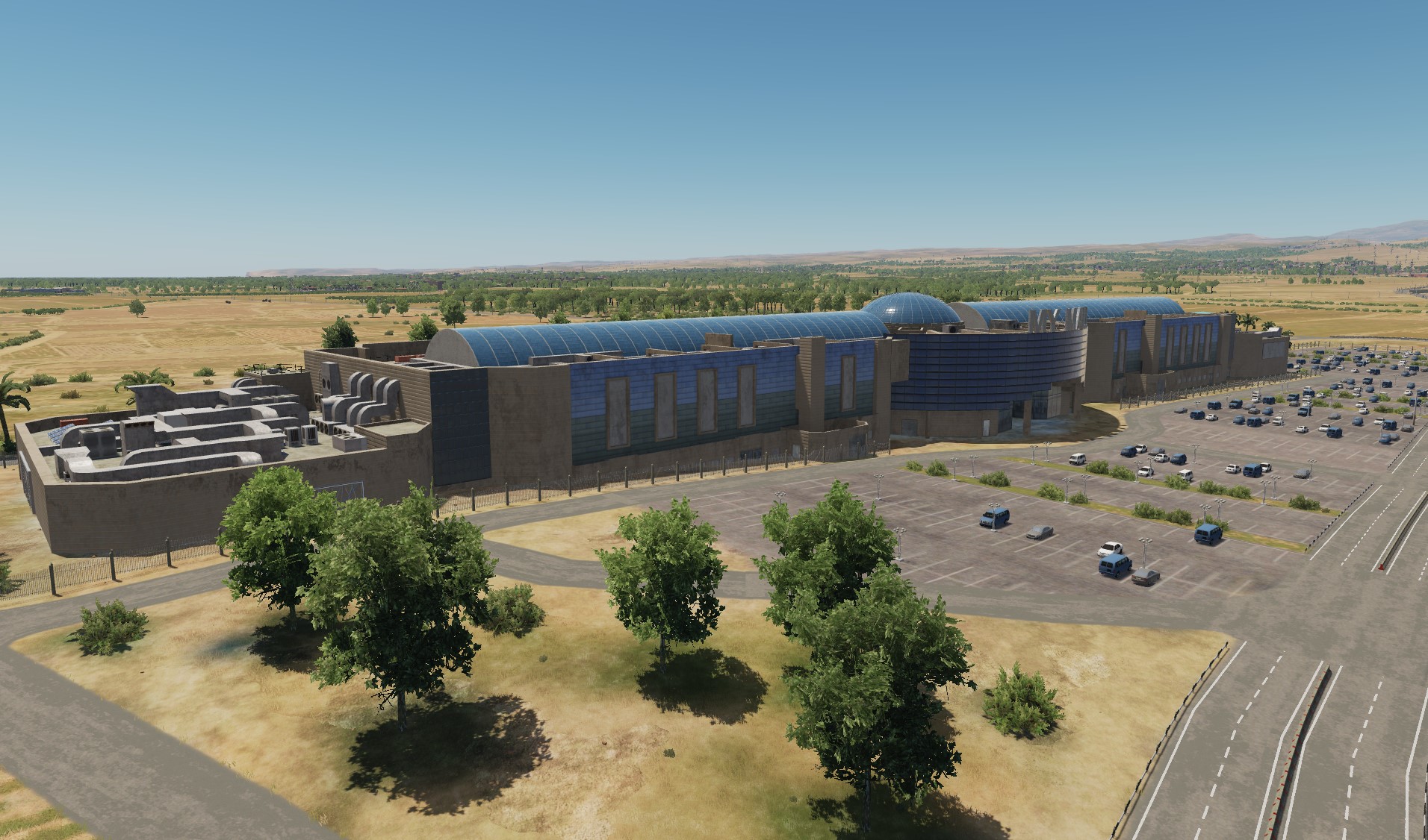
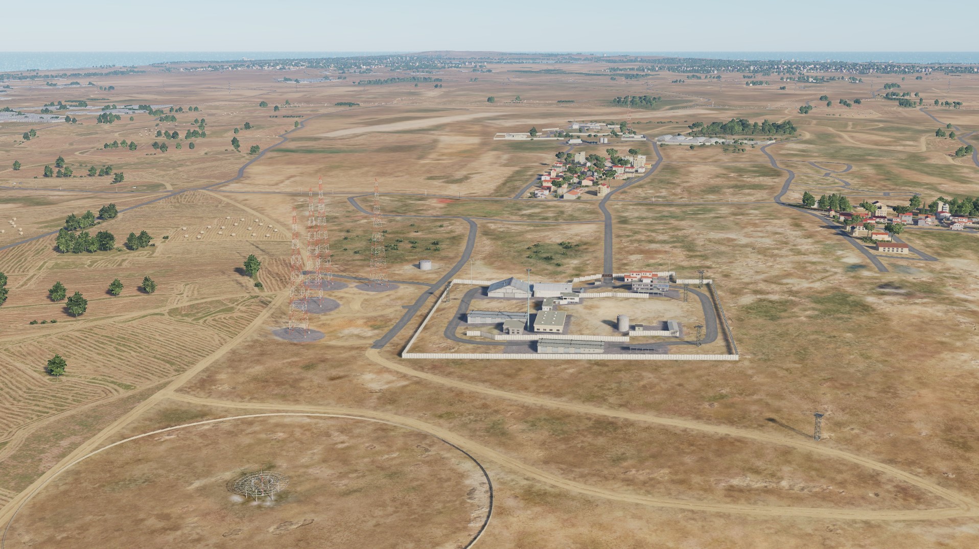
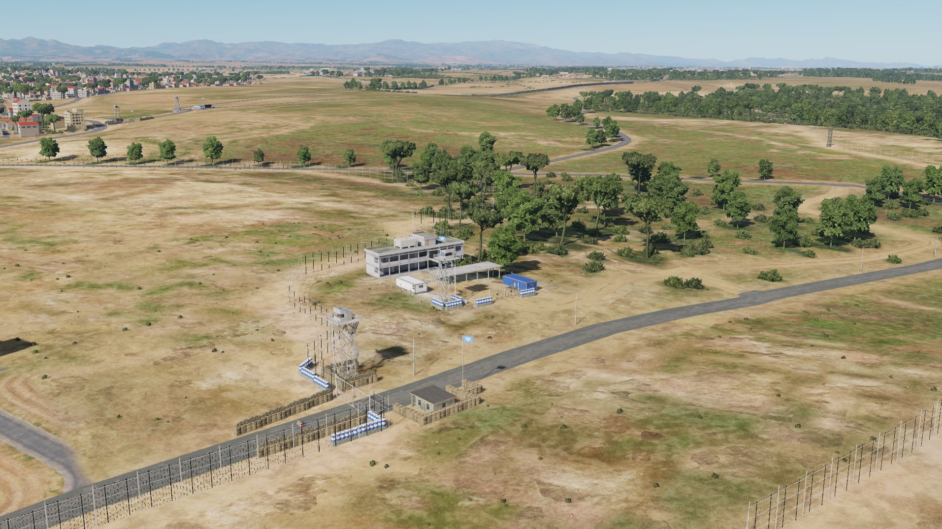
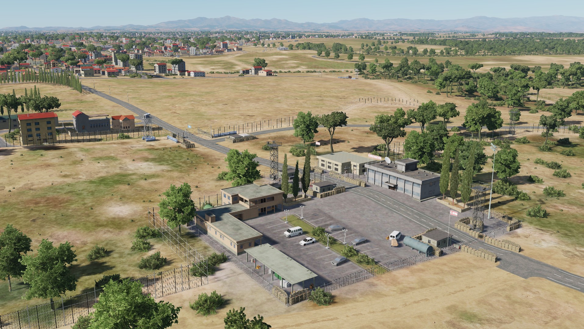
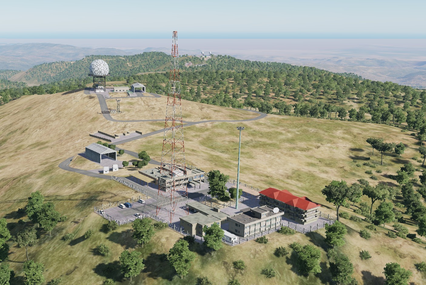
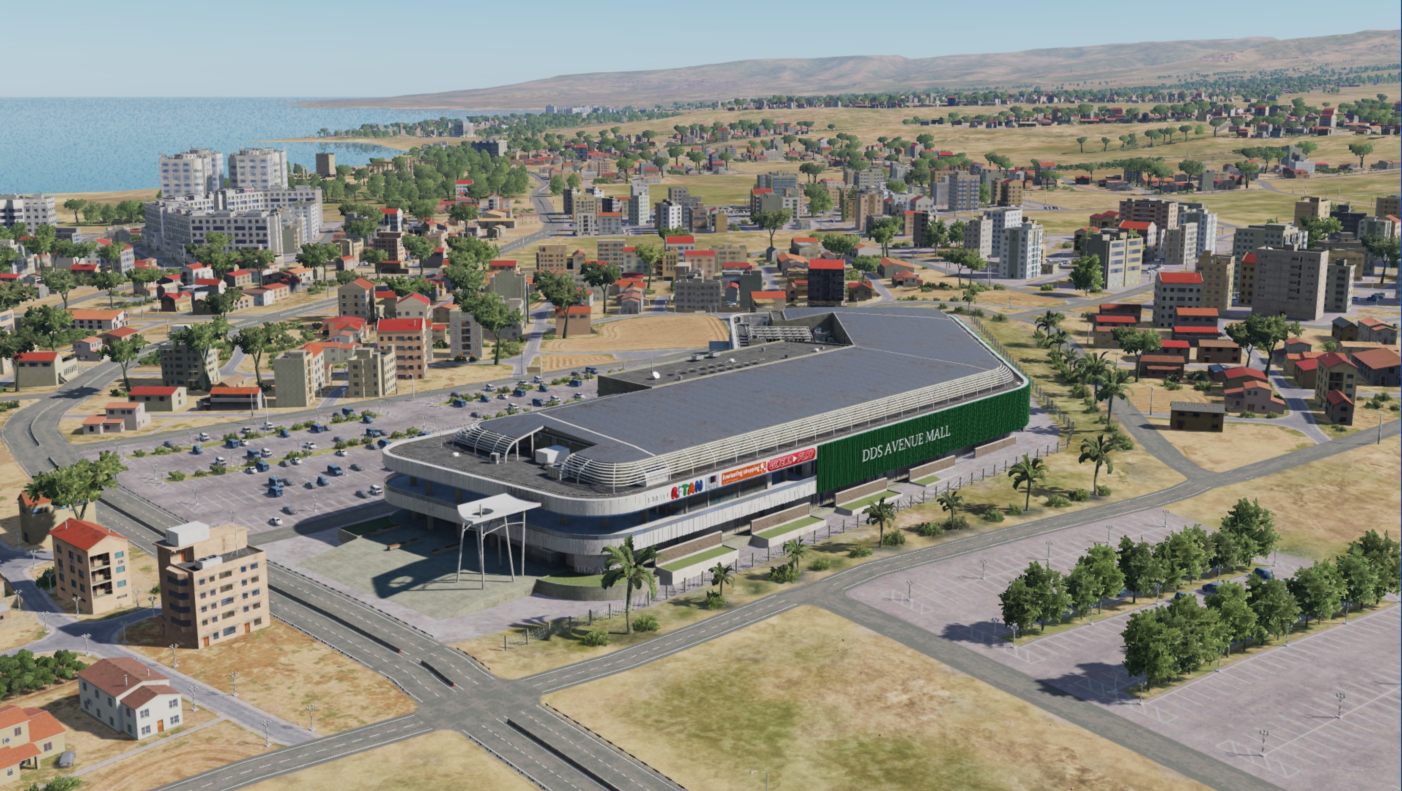
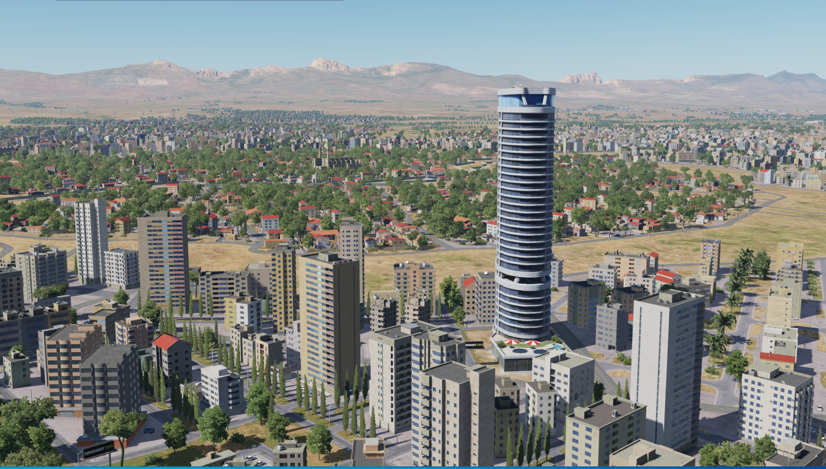
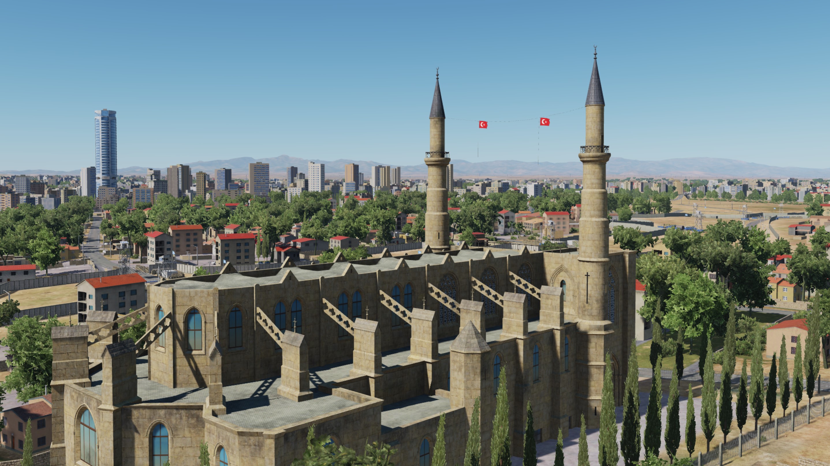
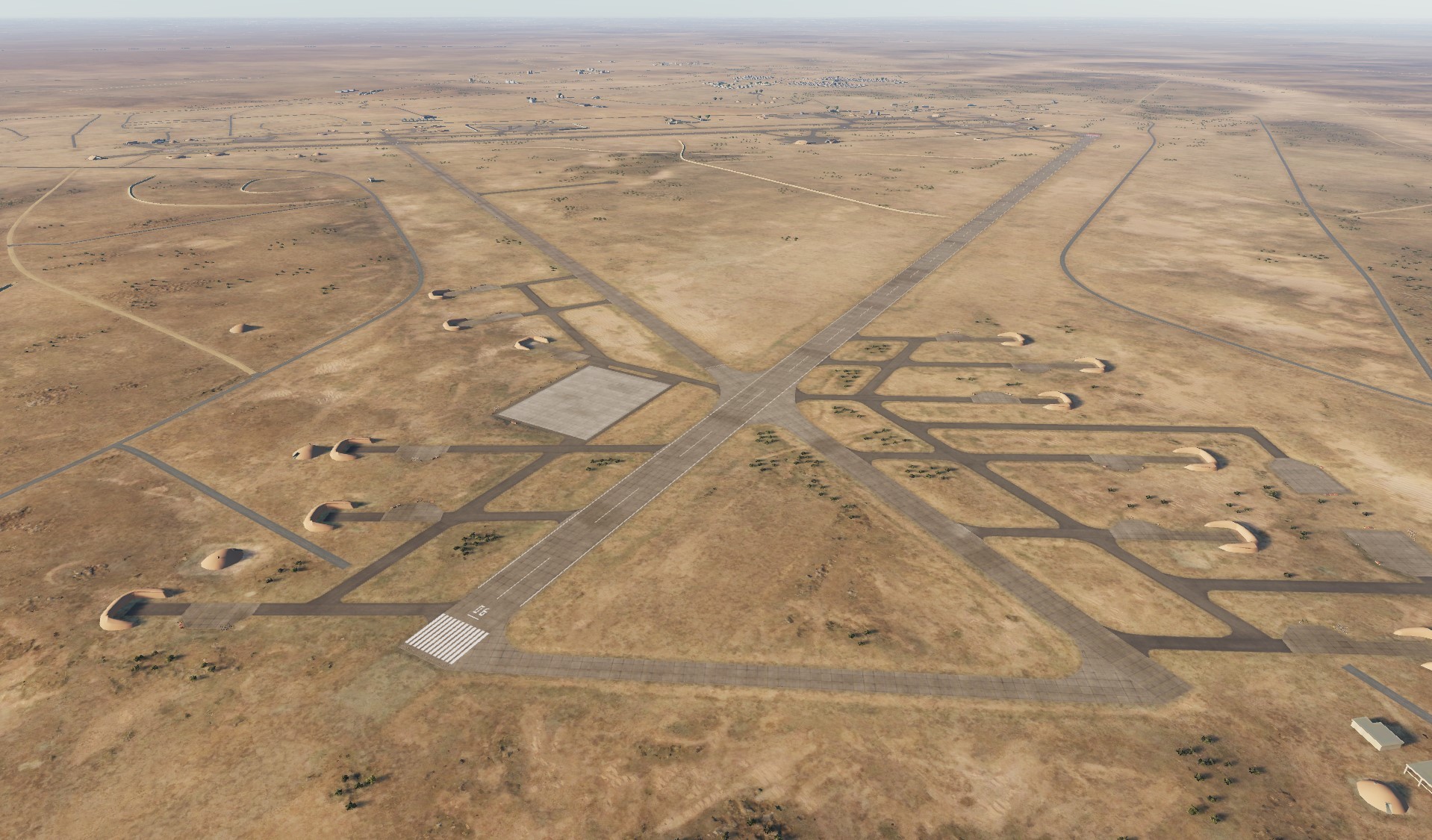
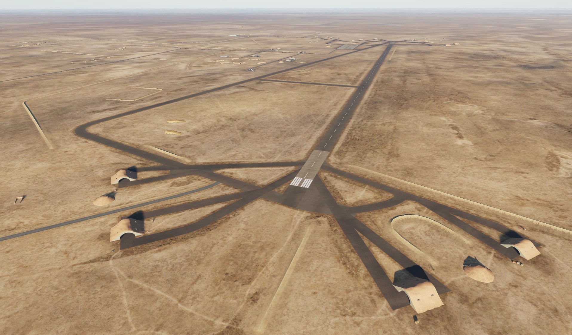
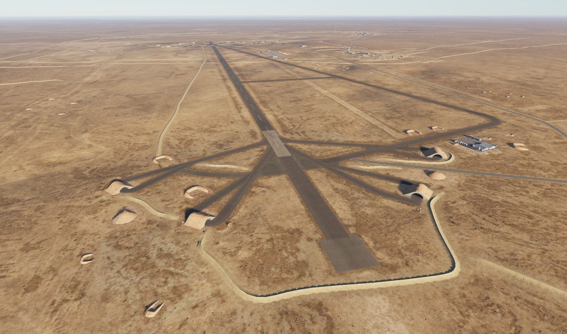
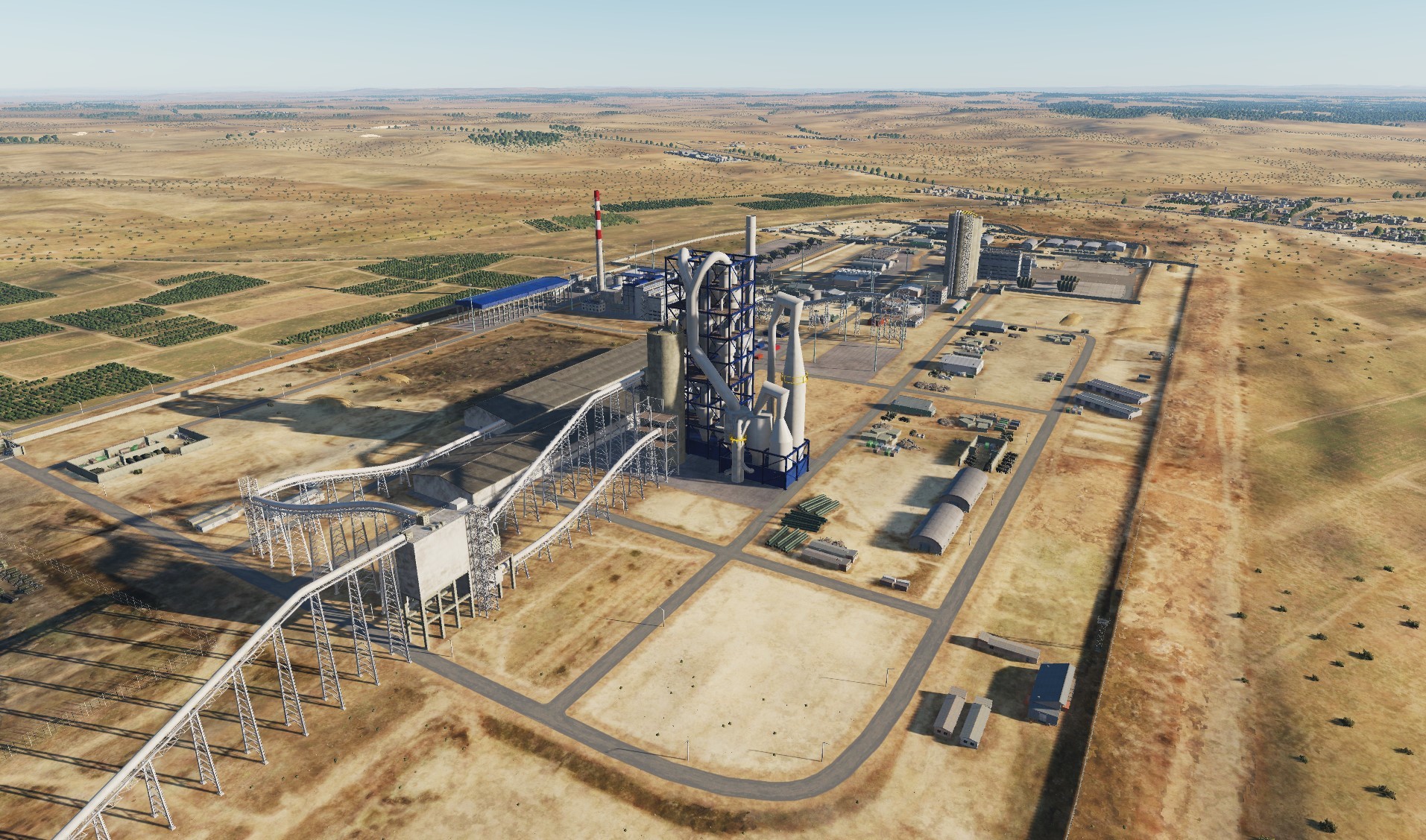
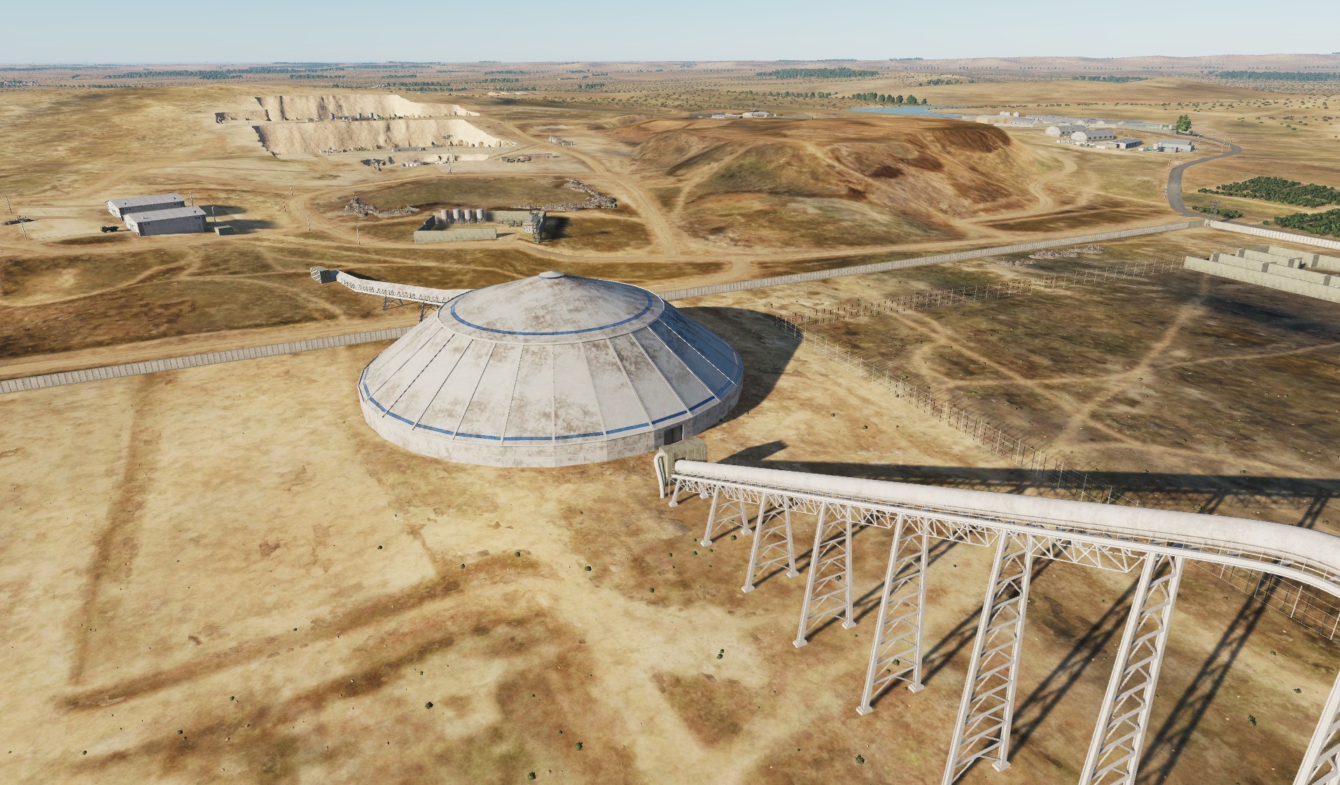
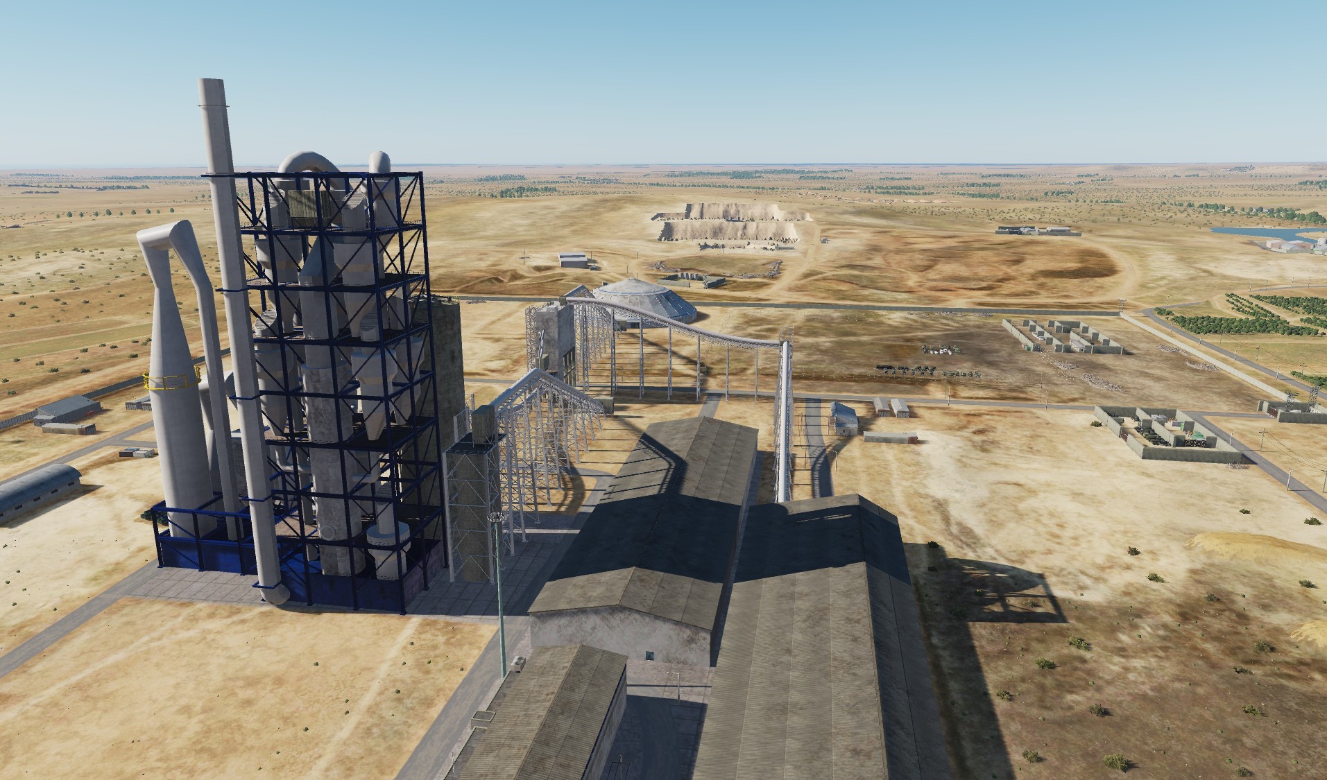
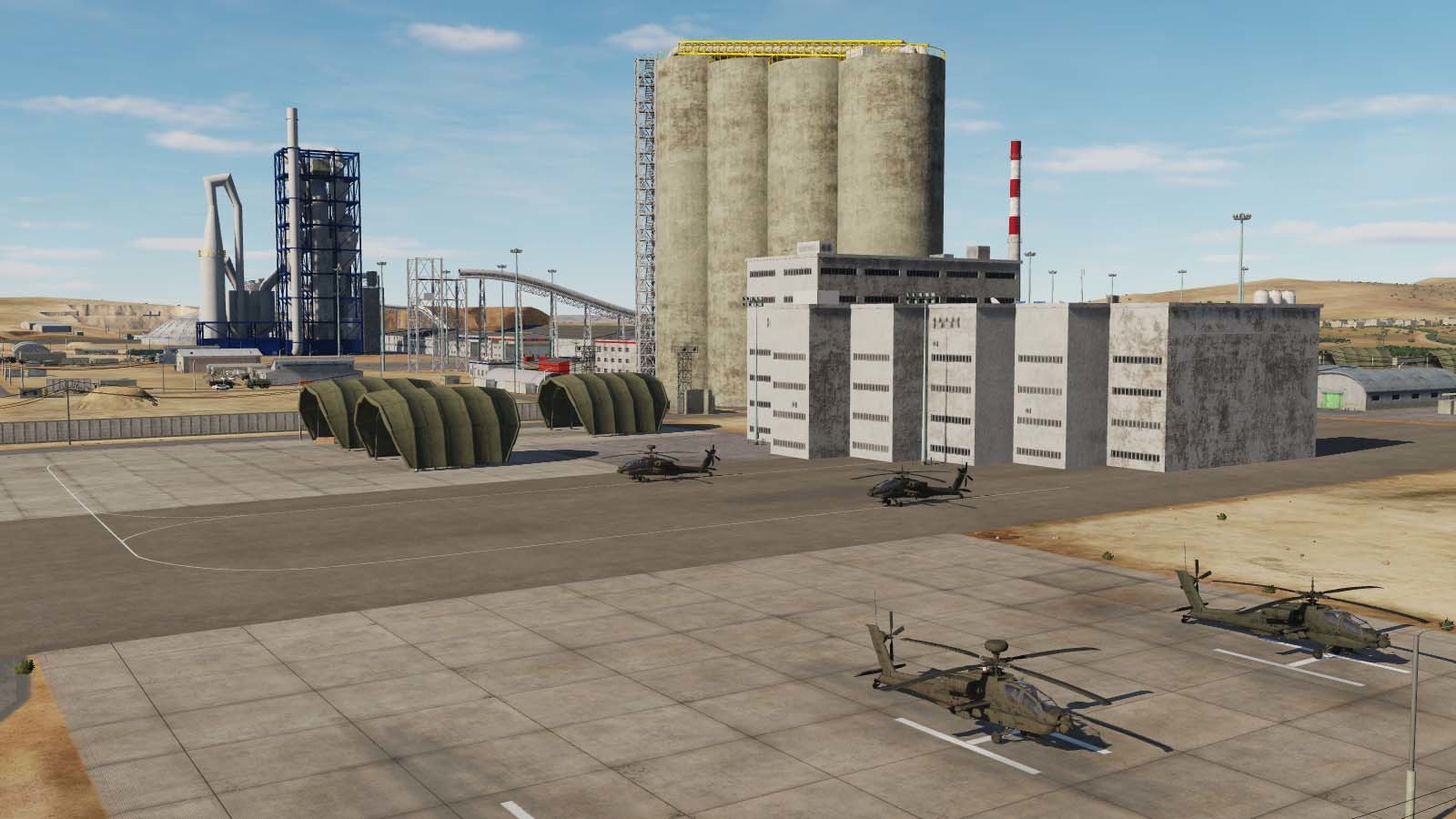
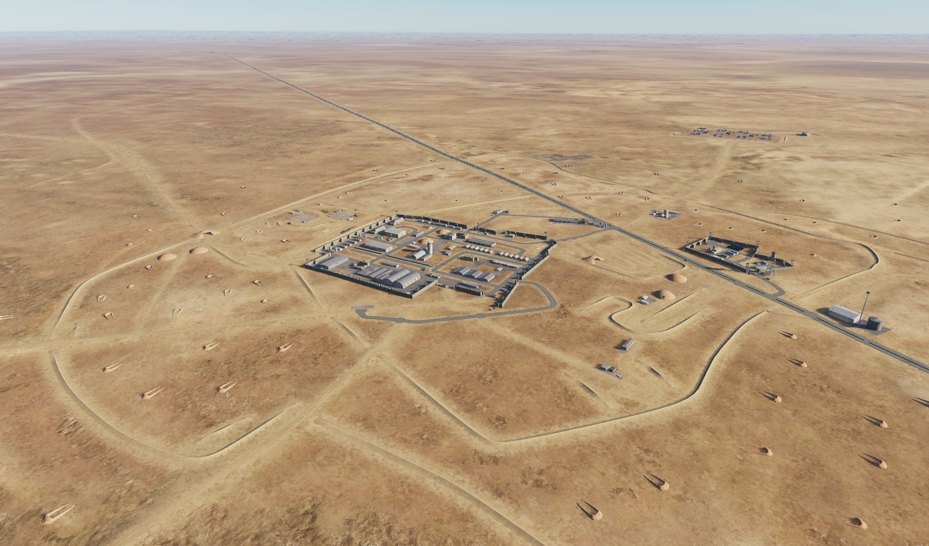
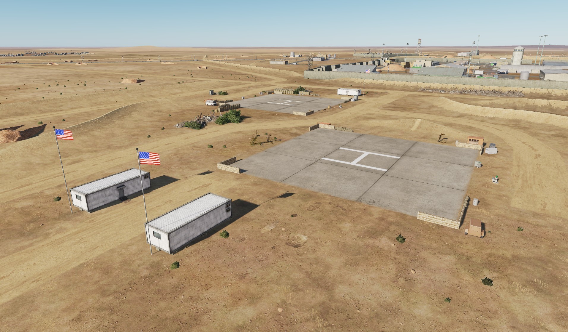
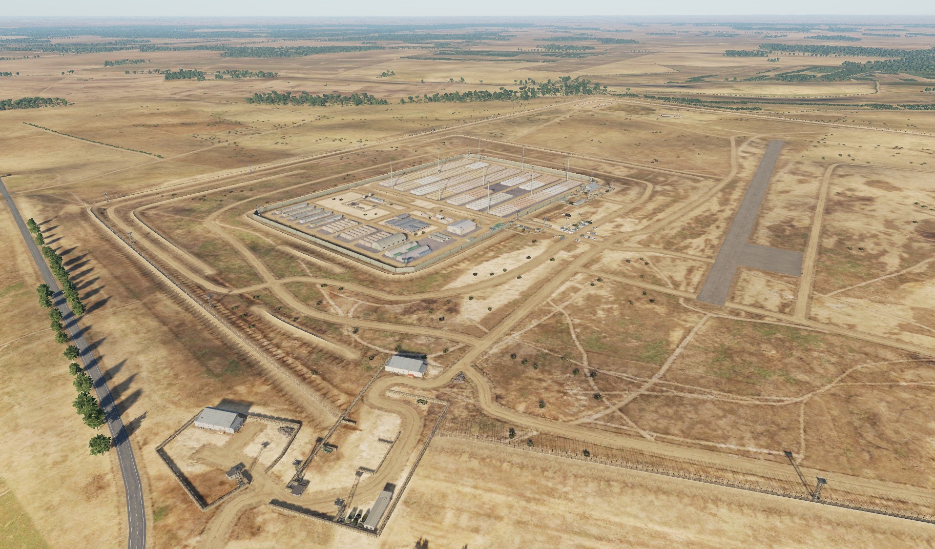
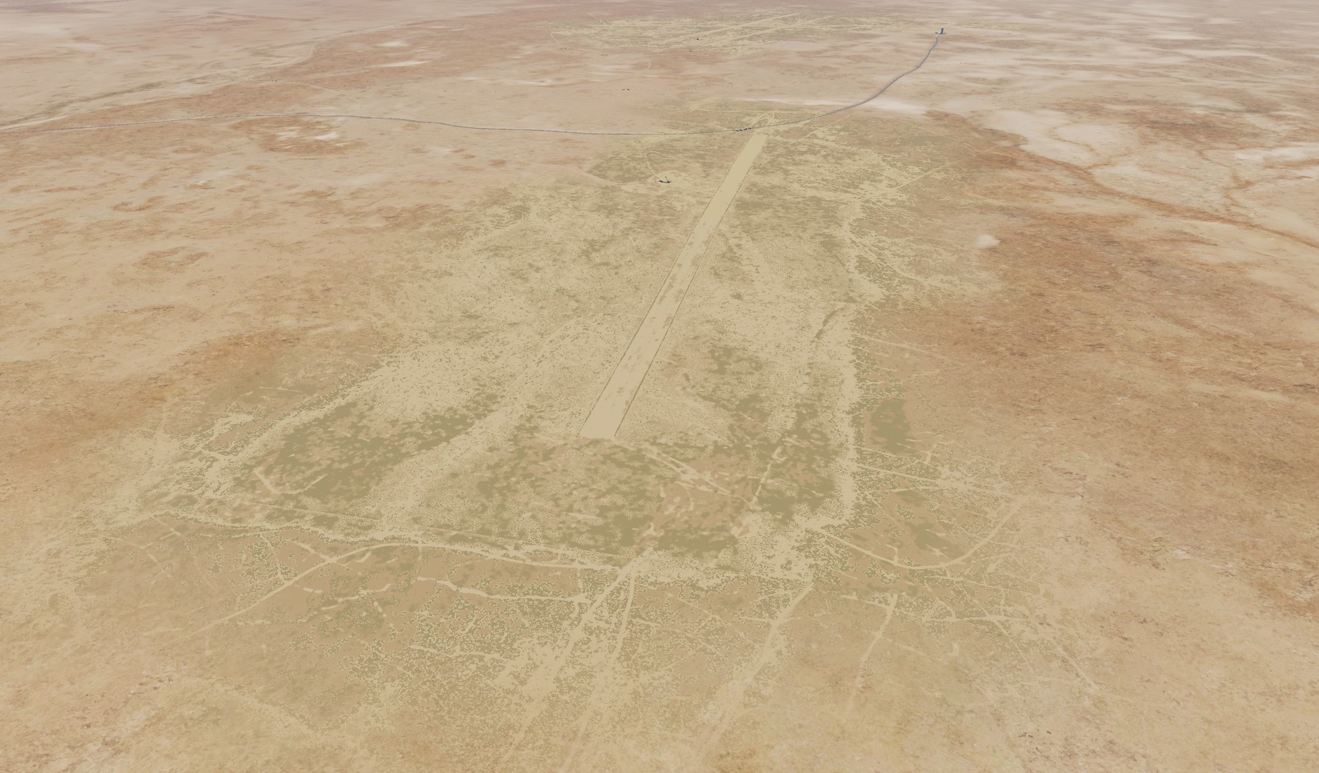
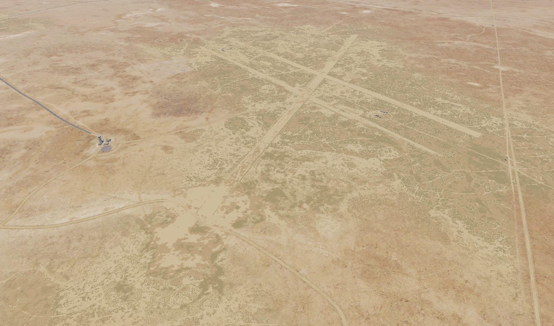
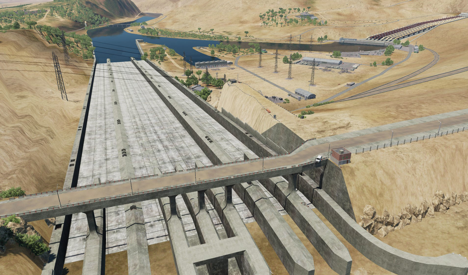
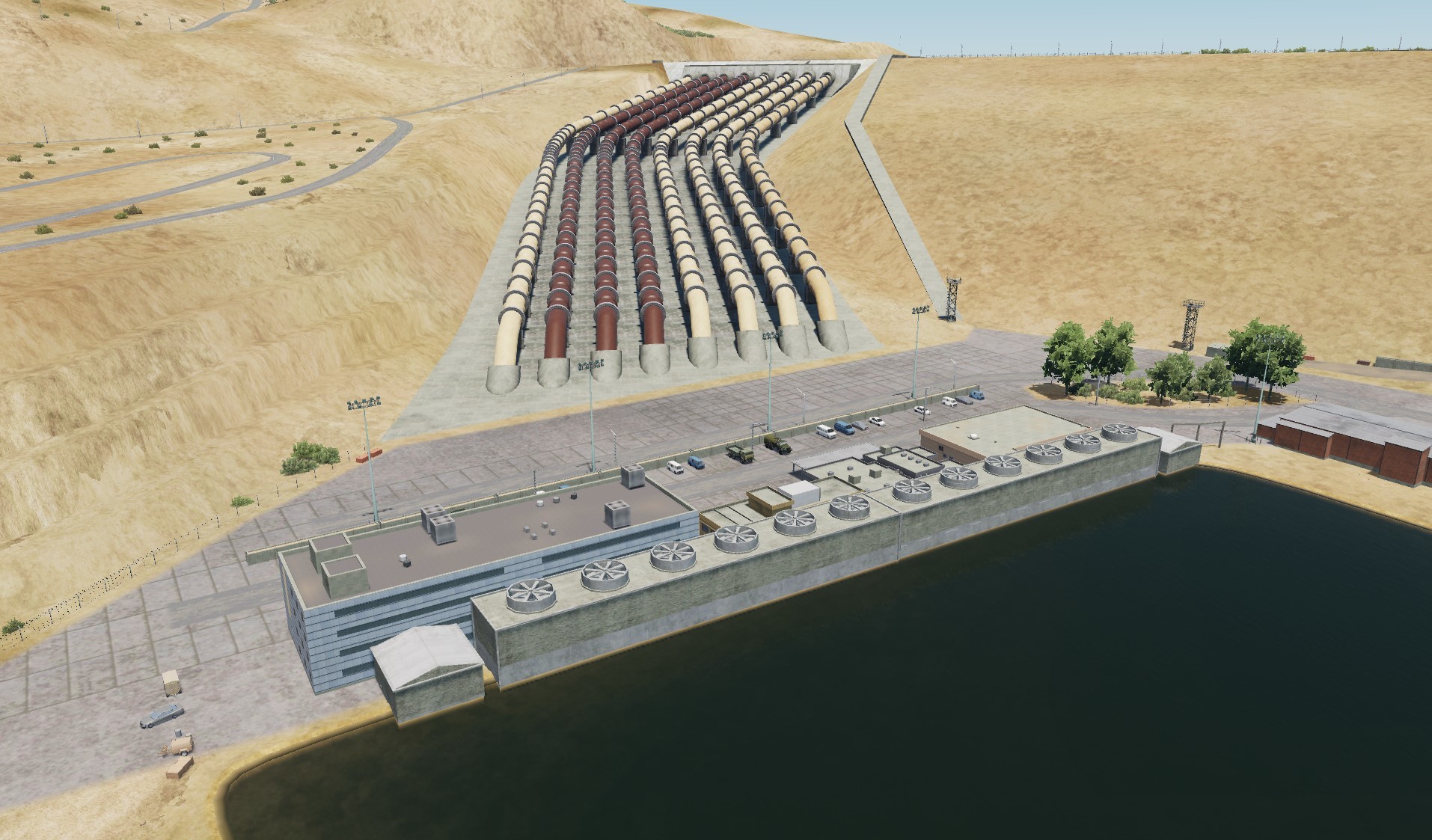
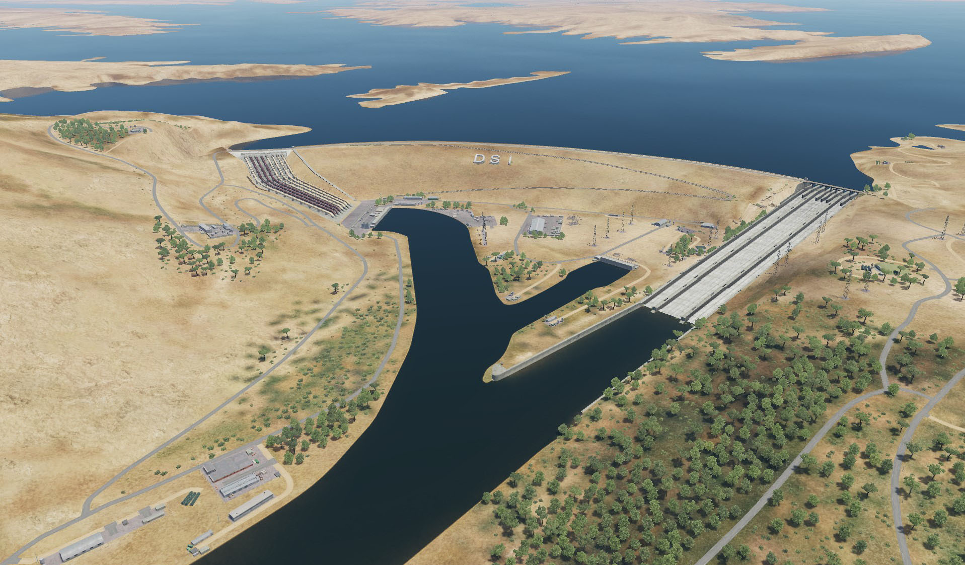
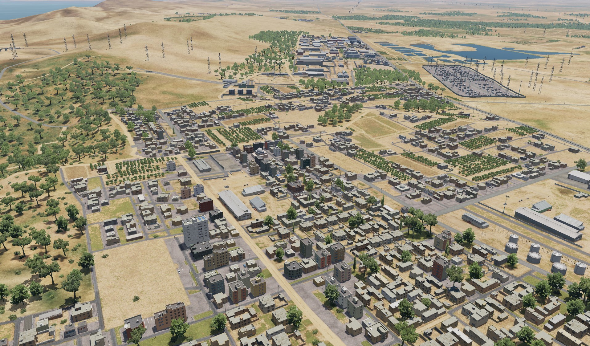
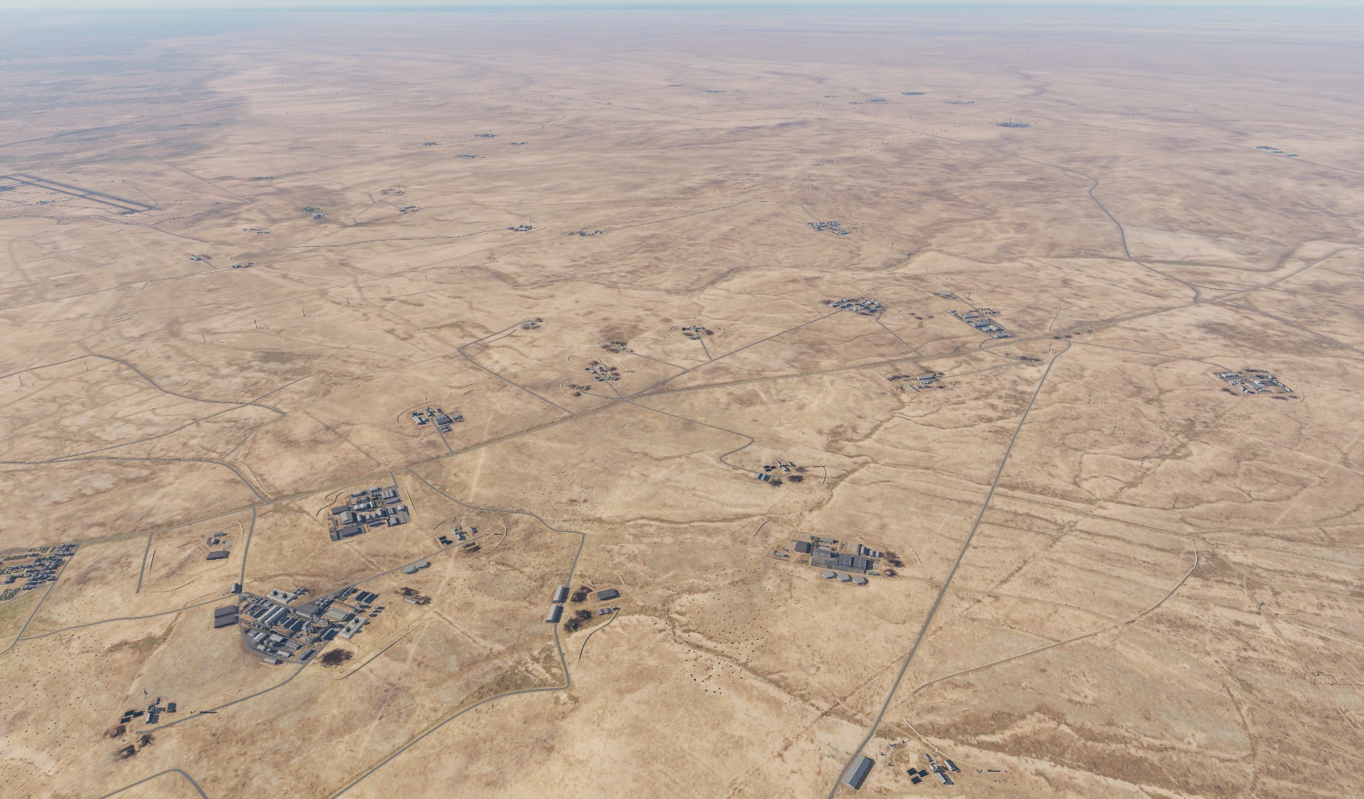
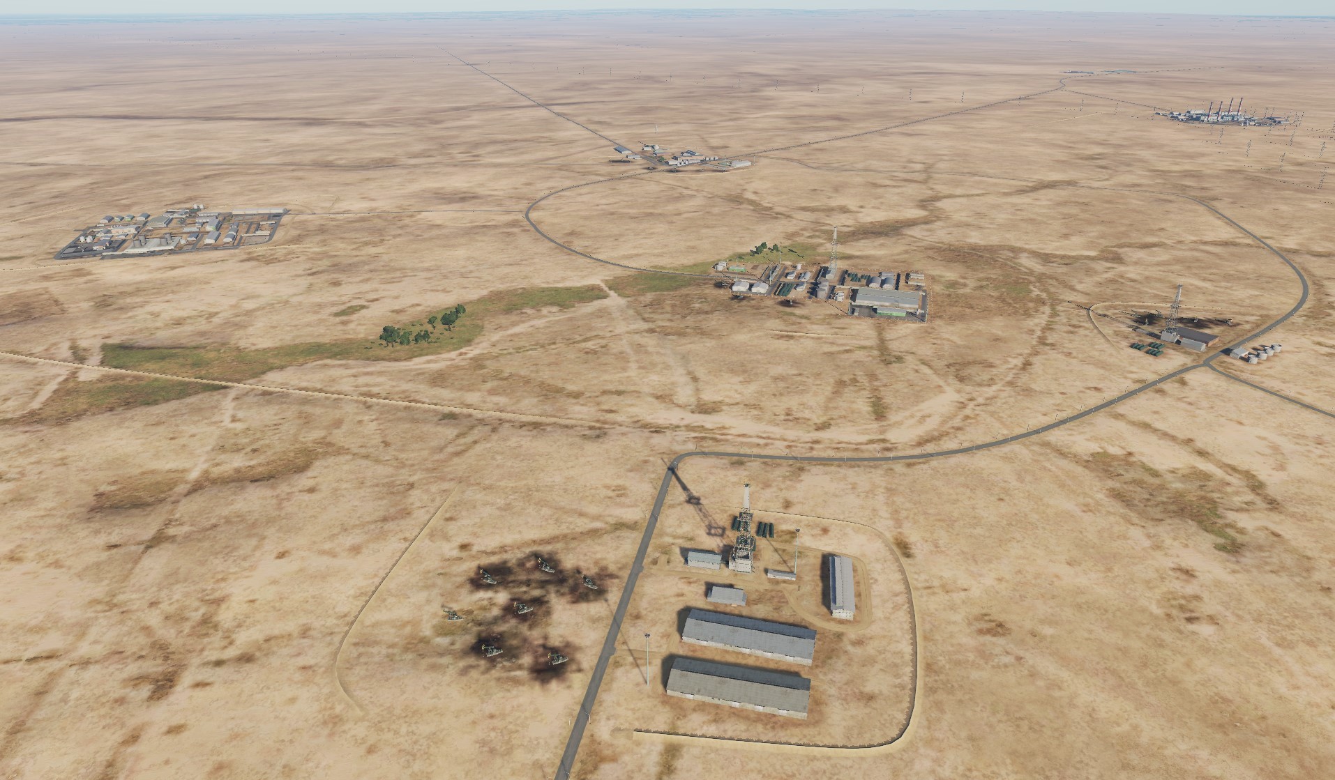
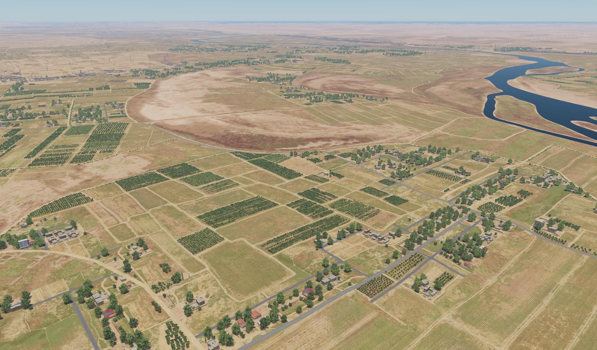
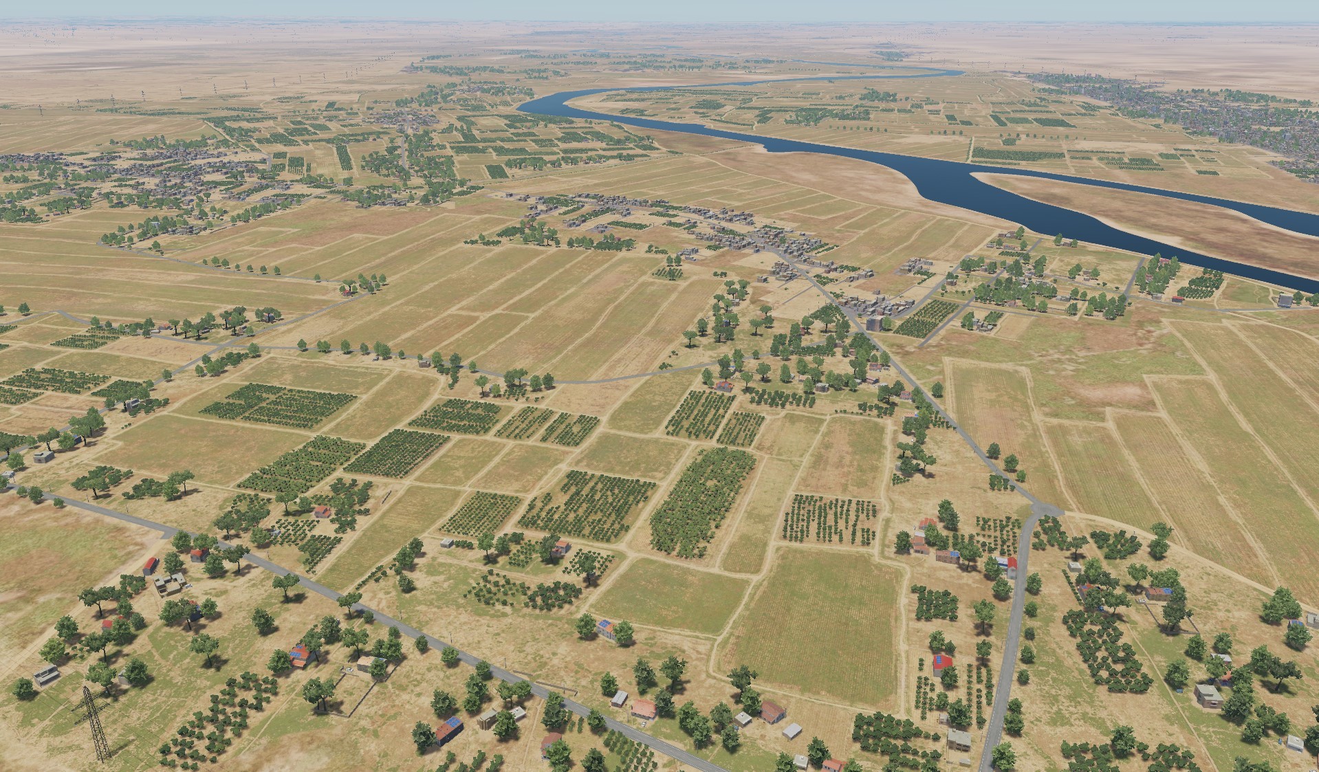
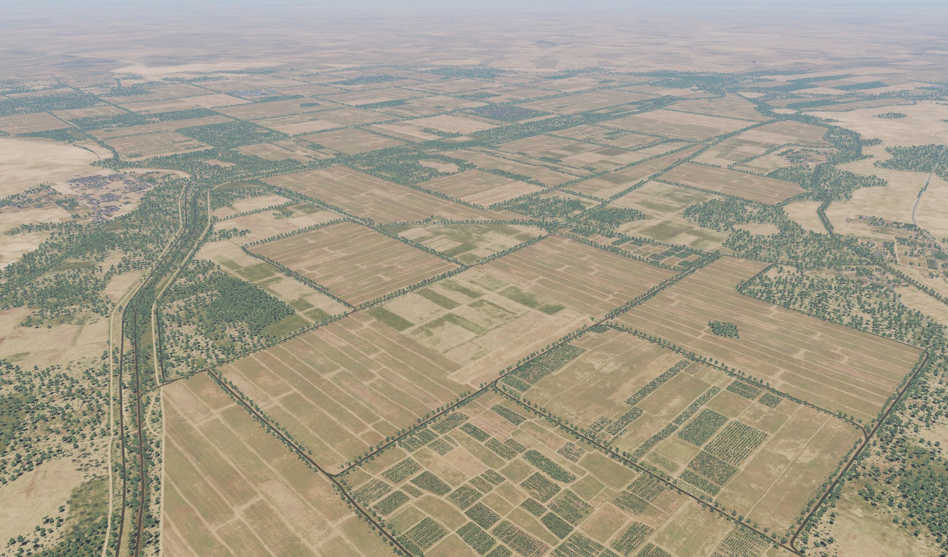
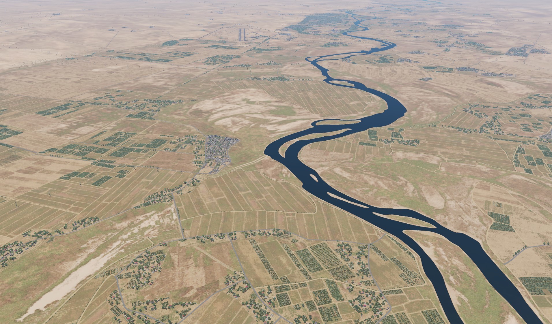
Hello pilots! Today we present to you information about the upcoming update. The map will be extended eastward 250 km to Deir ez Zor Air Base. Added Sanliurfa International Airport in Turkey. Added part of the territory of Iraq with H3, H3 Northwest, H3 Southwest и Ruwayshid. Added Kharab Ishk helicopter base located on the territory of Lafarge factory. Added At-Tanf military base on Syrian-Iraqi border. Tal Siman military base located north of the city of Raqqa was added. Added abandoned dirt airfield east of Sayqal Air Base. Ataturk Dam and Şanlıurfa International Airport were added in Turkey. Added scenes of oil facilities in ir Deir ez-Zor area. Added a large section of the Euphrates River Valley in the eastern part of the map.
- 487 replies
-
- 109
-
-
-
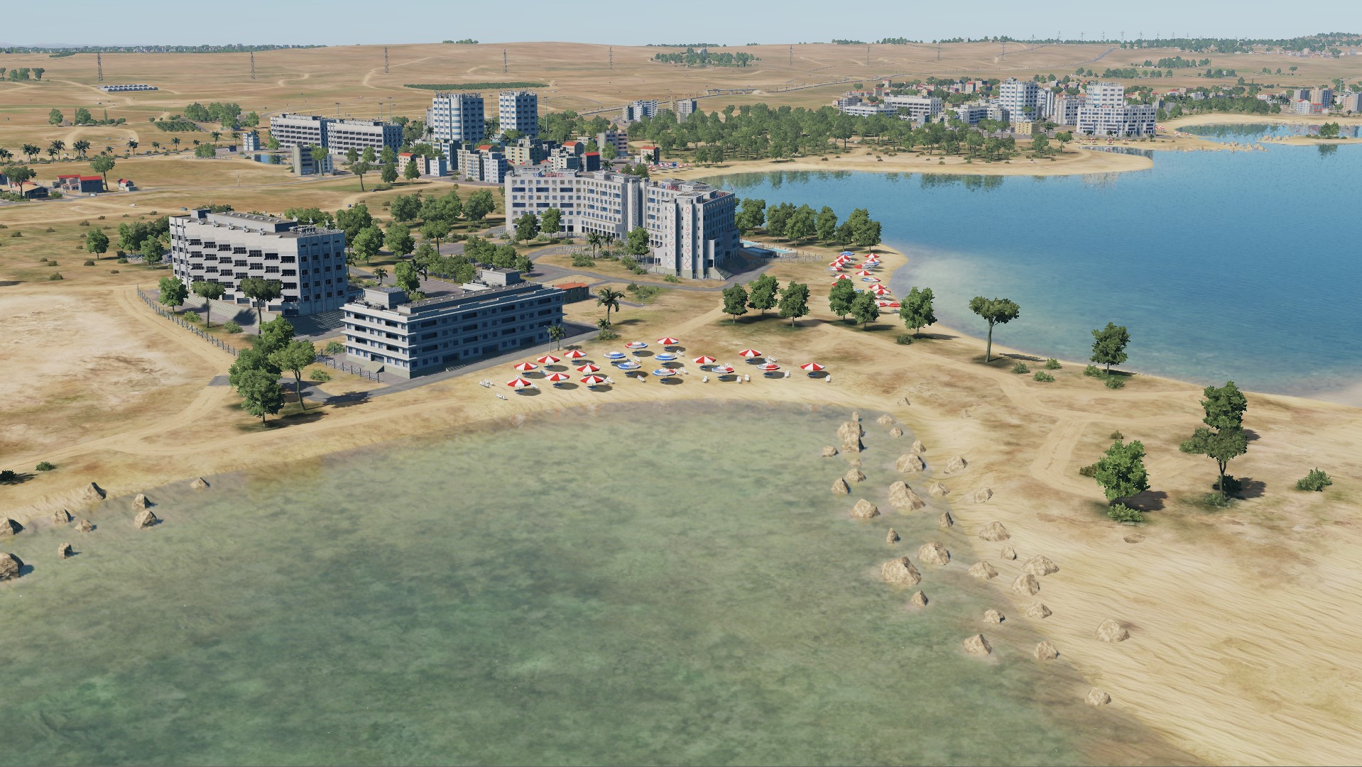
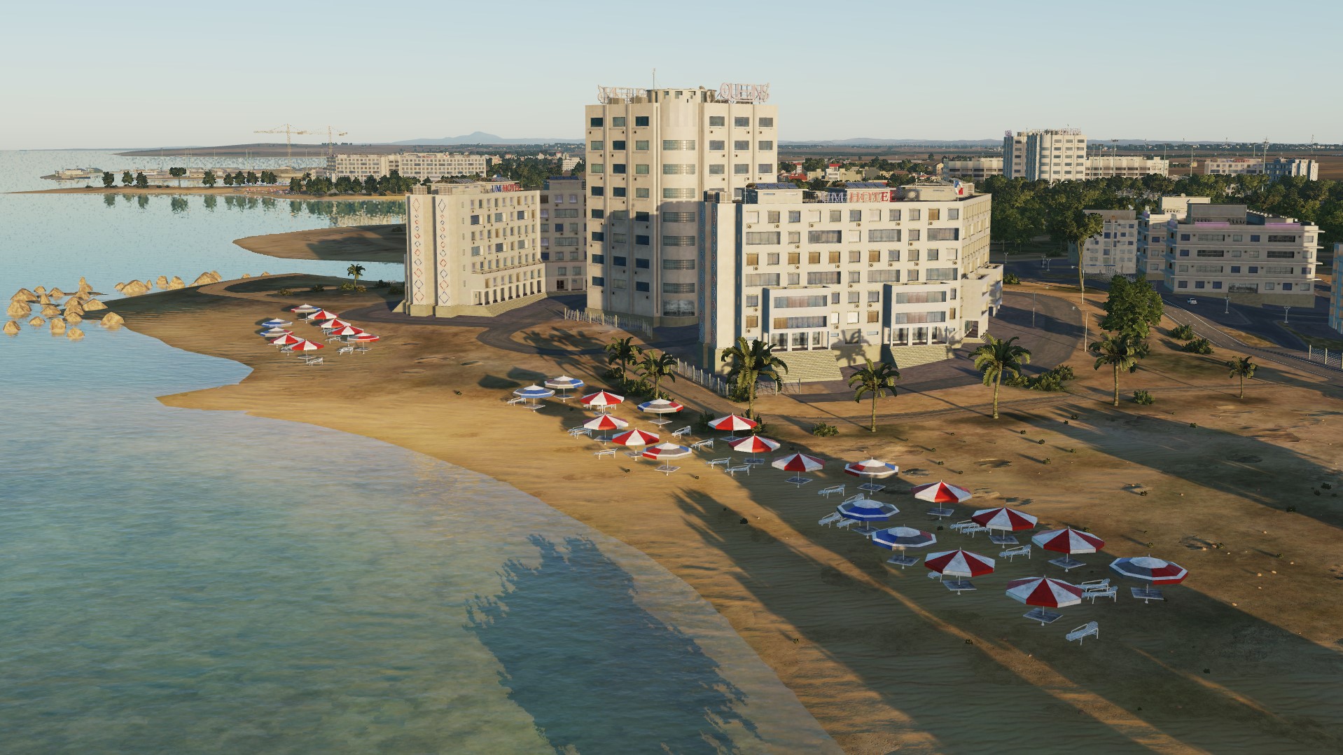
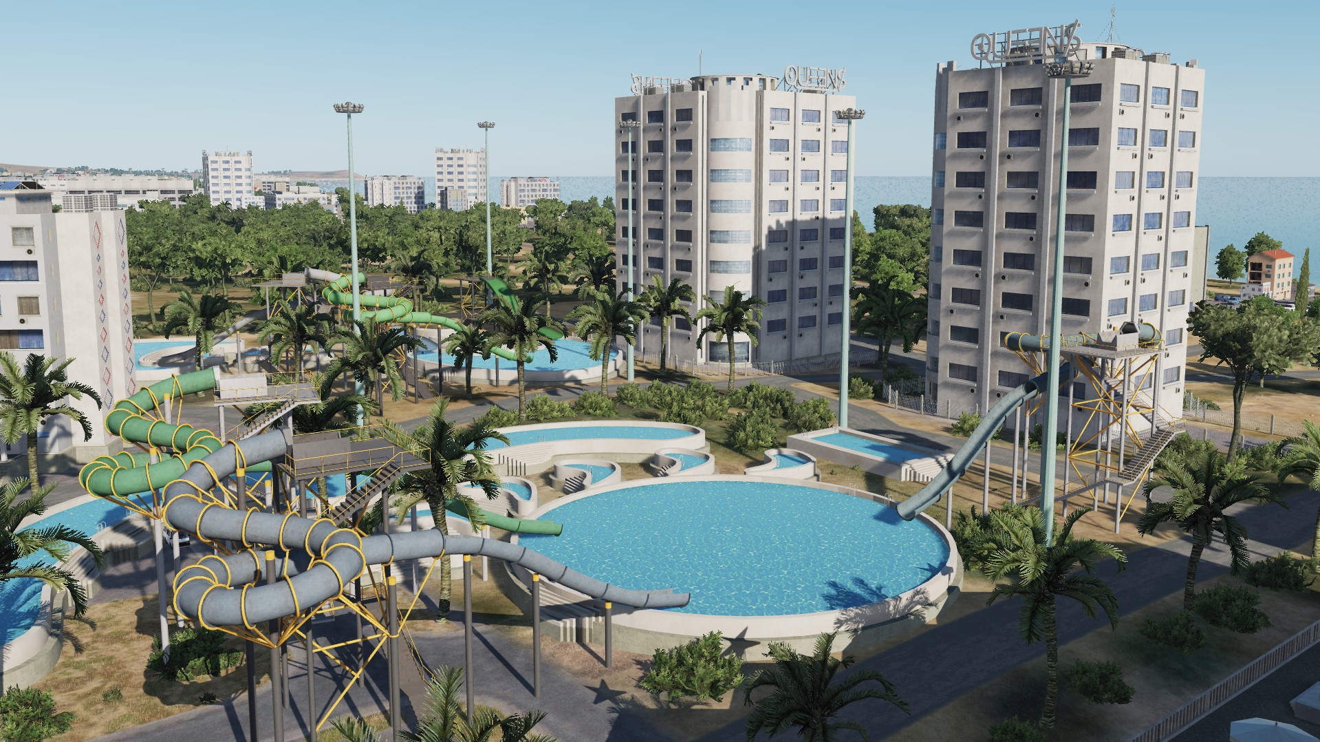
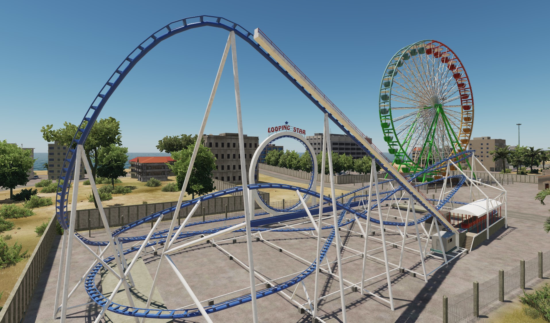
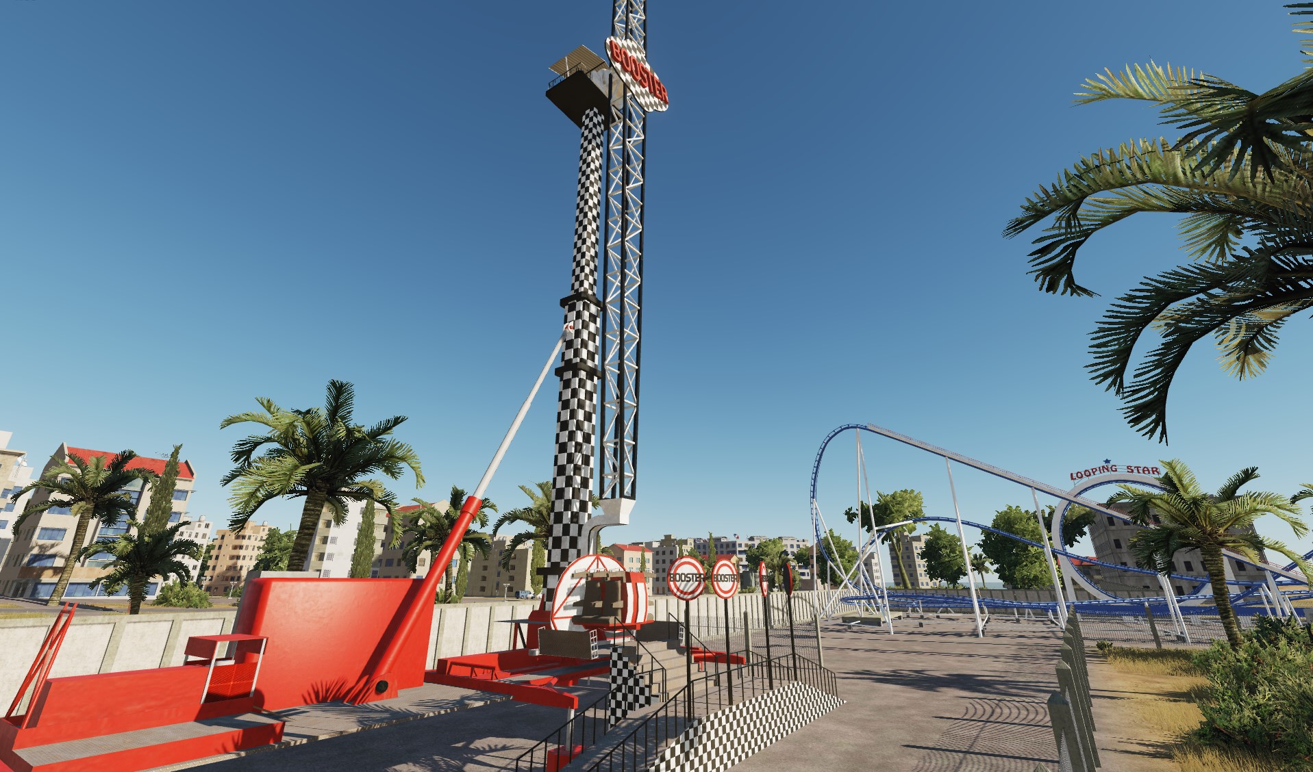
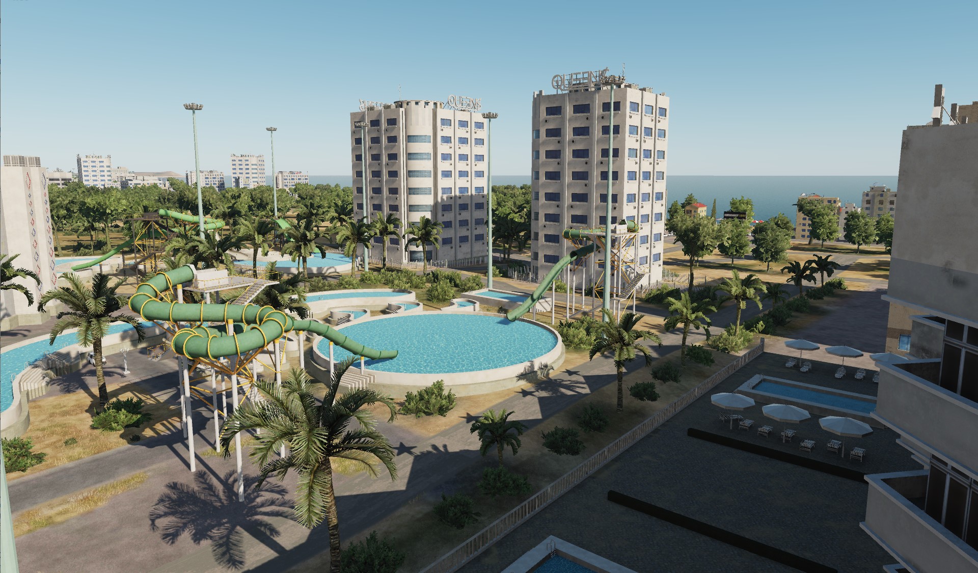
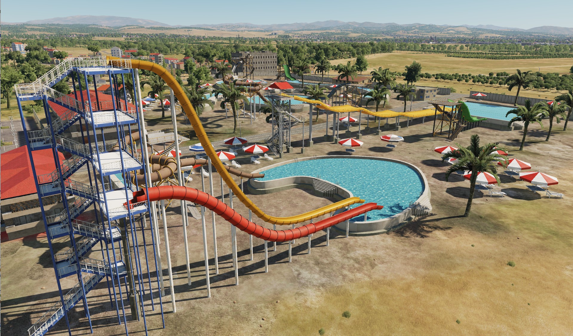
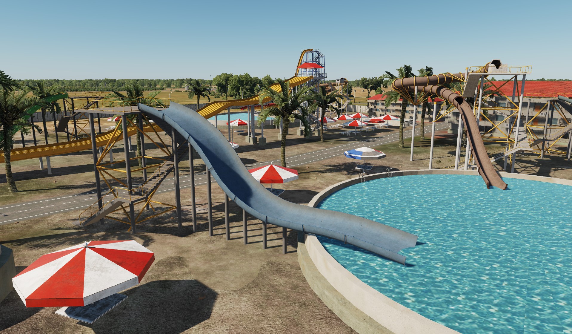
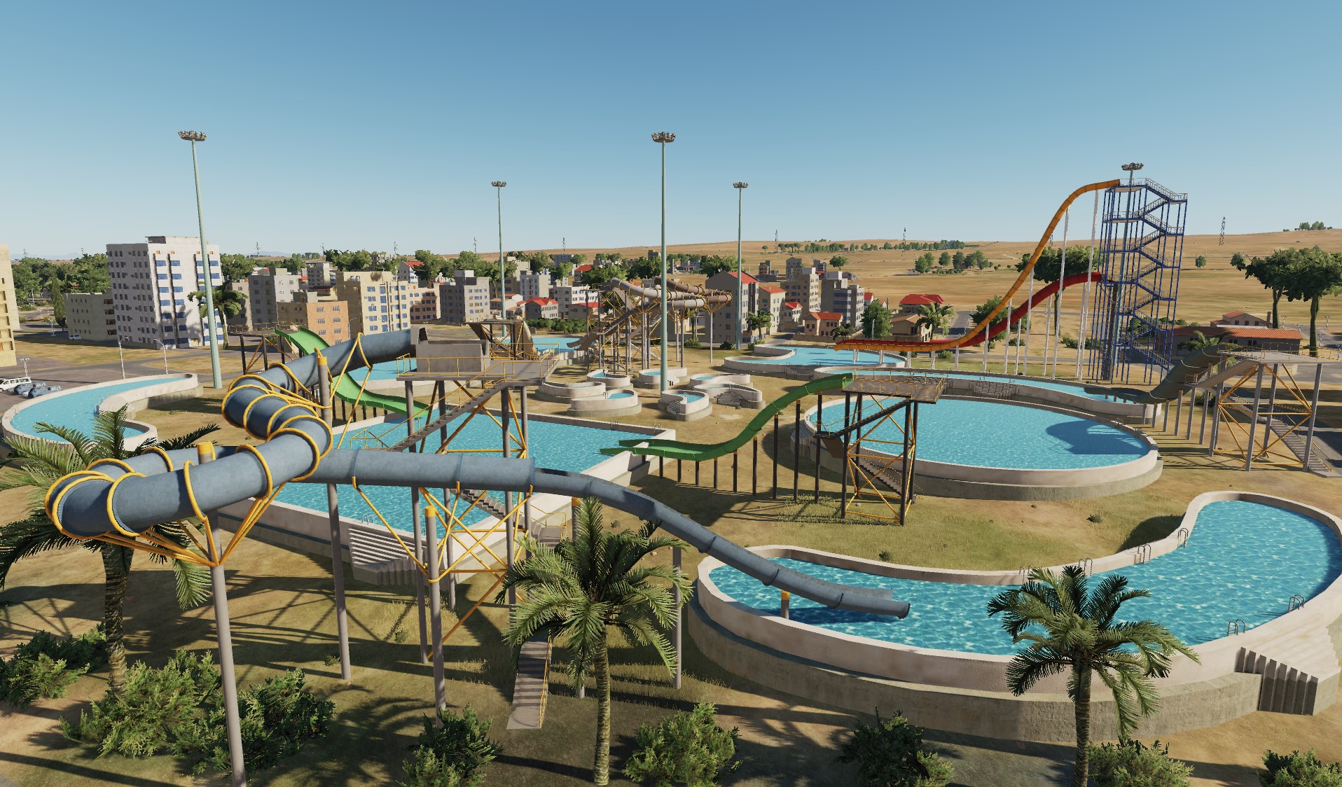
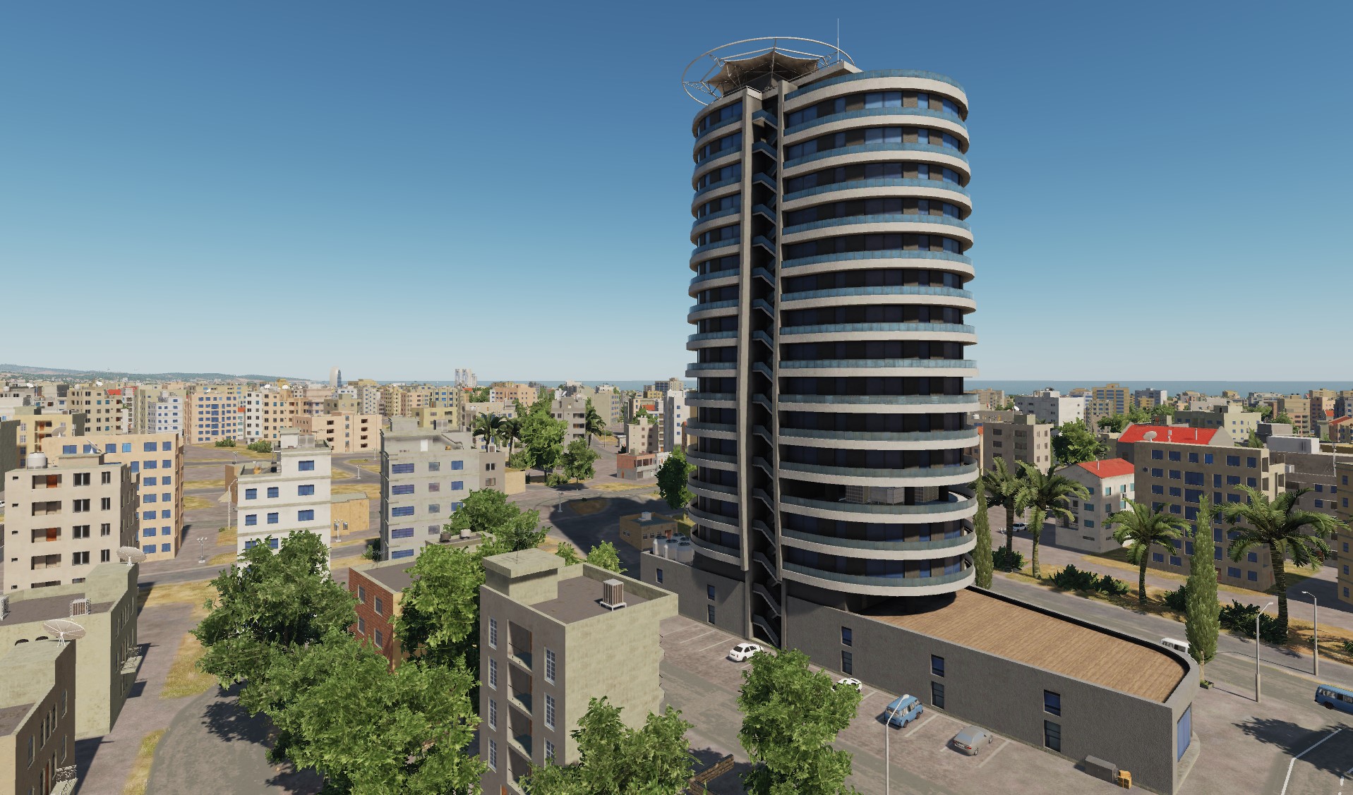
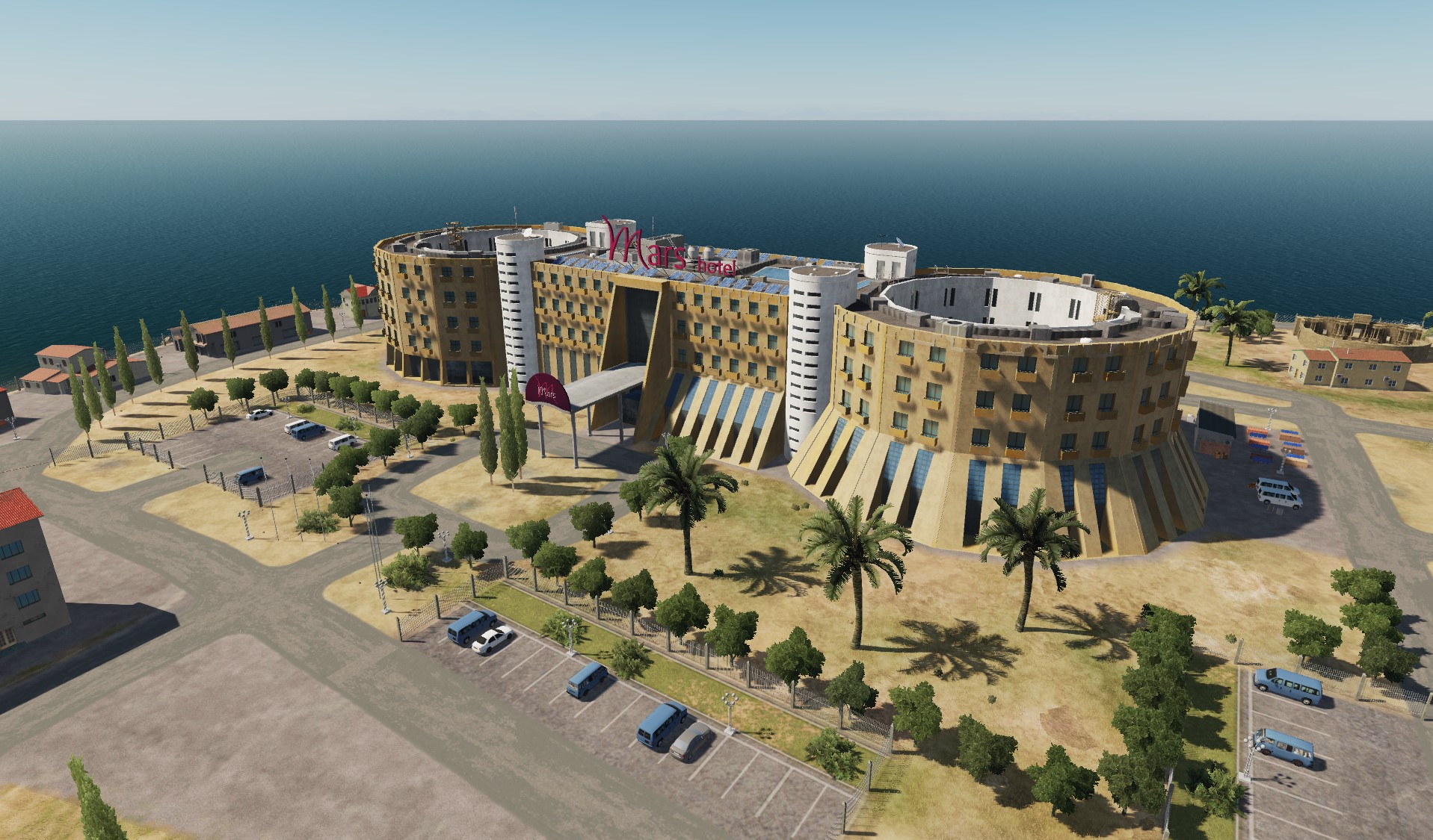
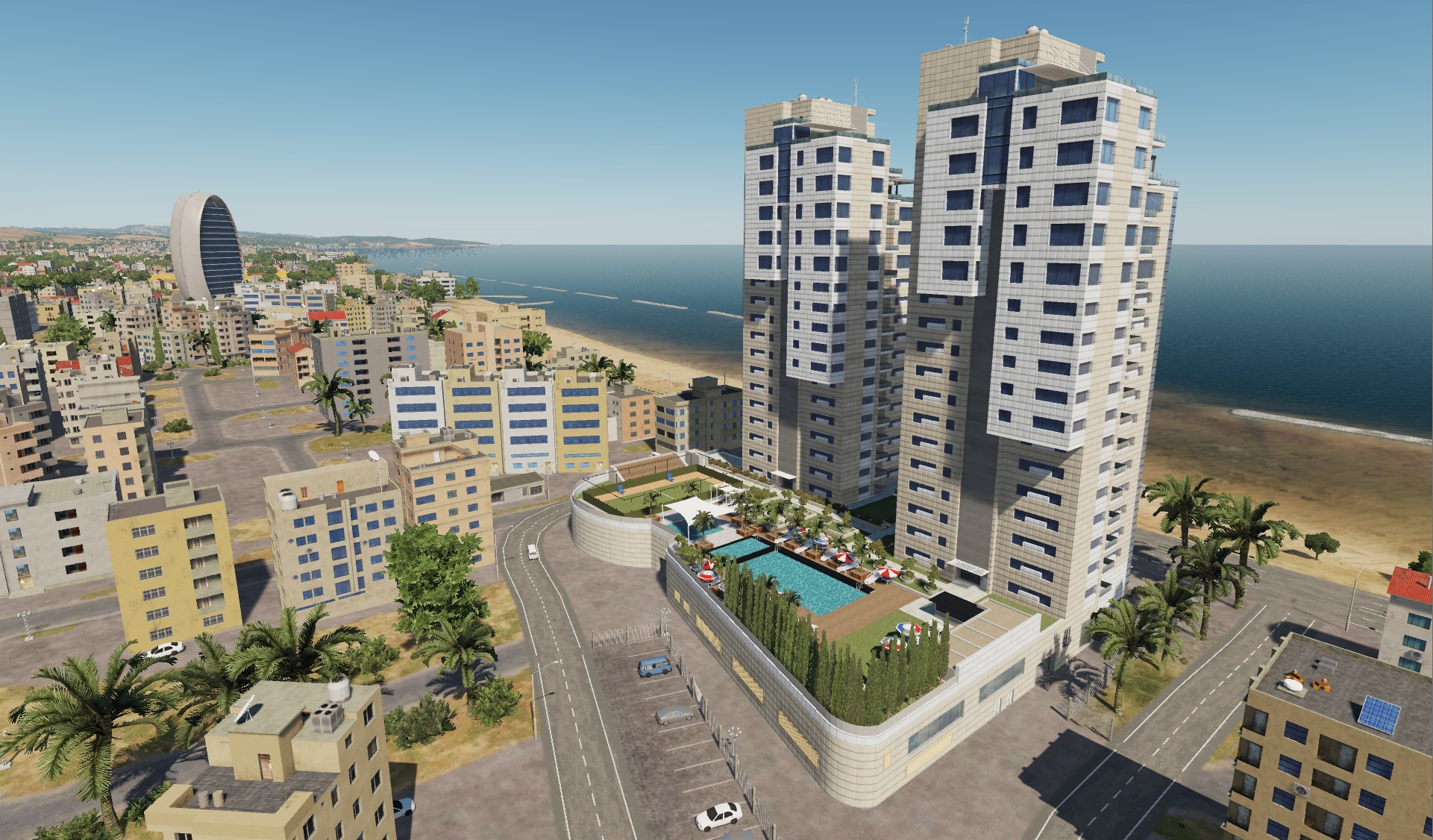
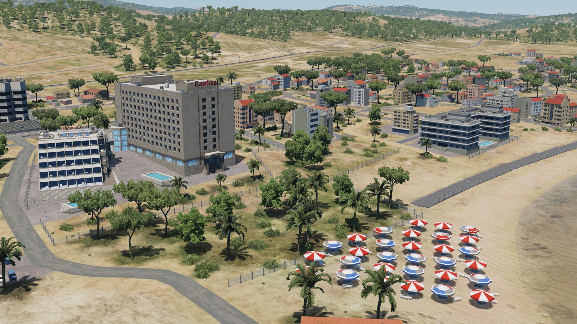
Hello pilots! Today is Friday, the weekend is ahead - time for rest. Let's see what entertainment is presented in Cyprus. Parko Paliatso Luna Park (Ayia Napa) & Fasouri Watermania Waterpark (Limassol) Well, we'll spend the night here: Cedar's Oasis Olympic Residence Mercure Hotel Casino Hotel San Rafael
- 487 replies
-
- 14
-
-
-
Aarnoman we are working on it
- 487 replies
-
- 15
-
-
-
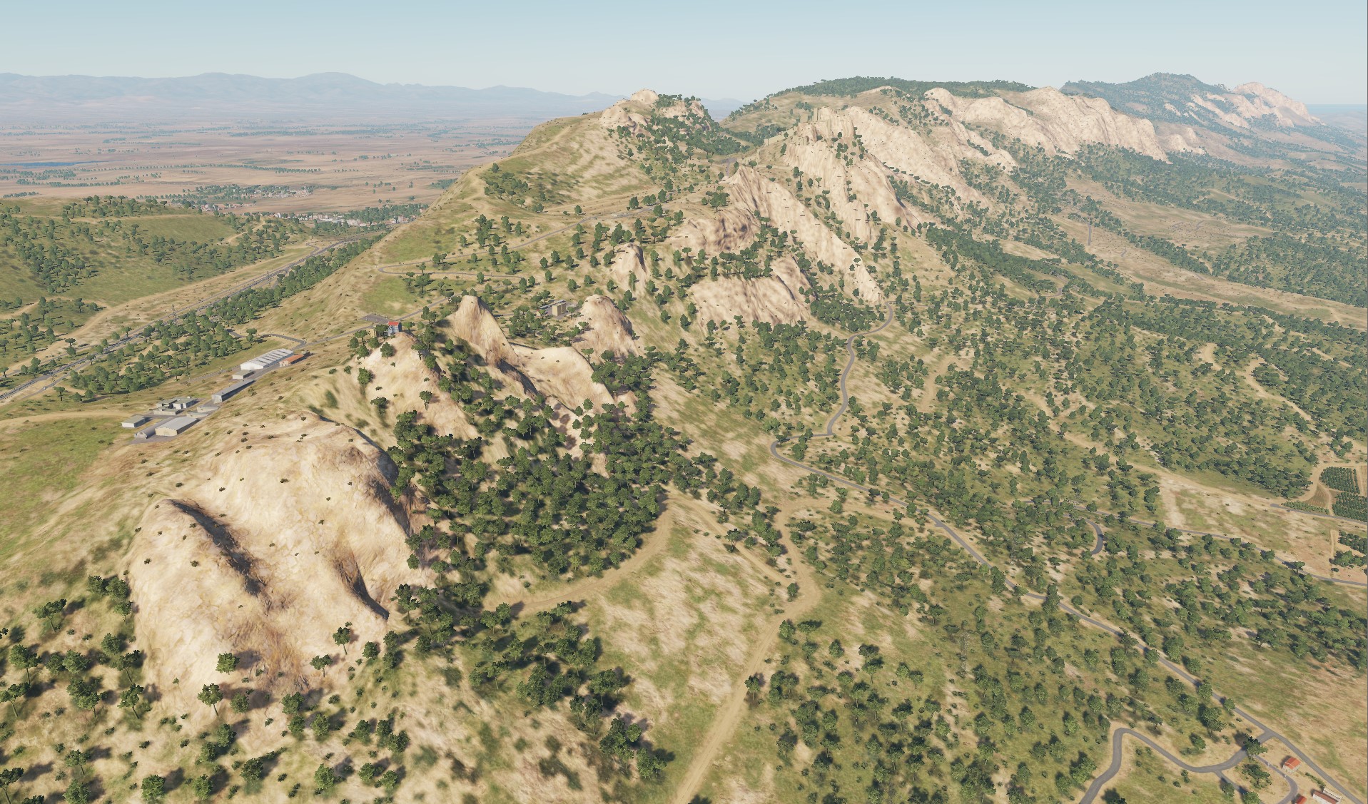
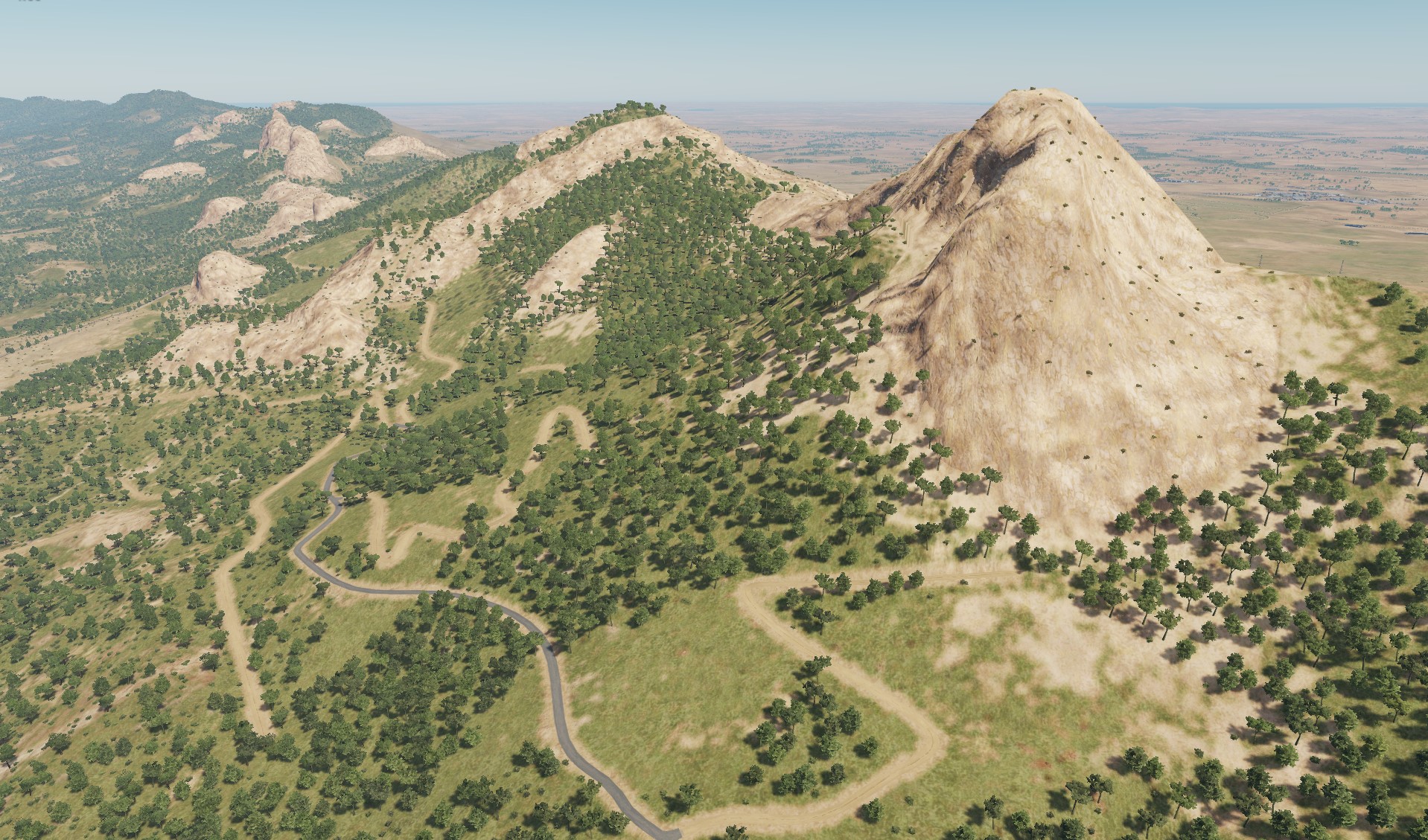
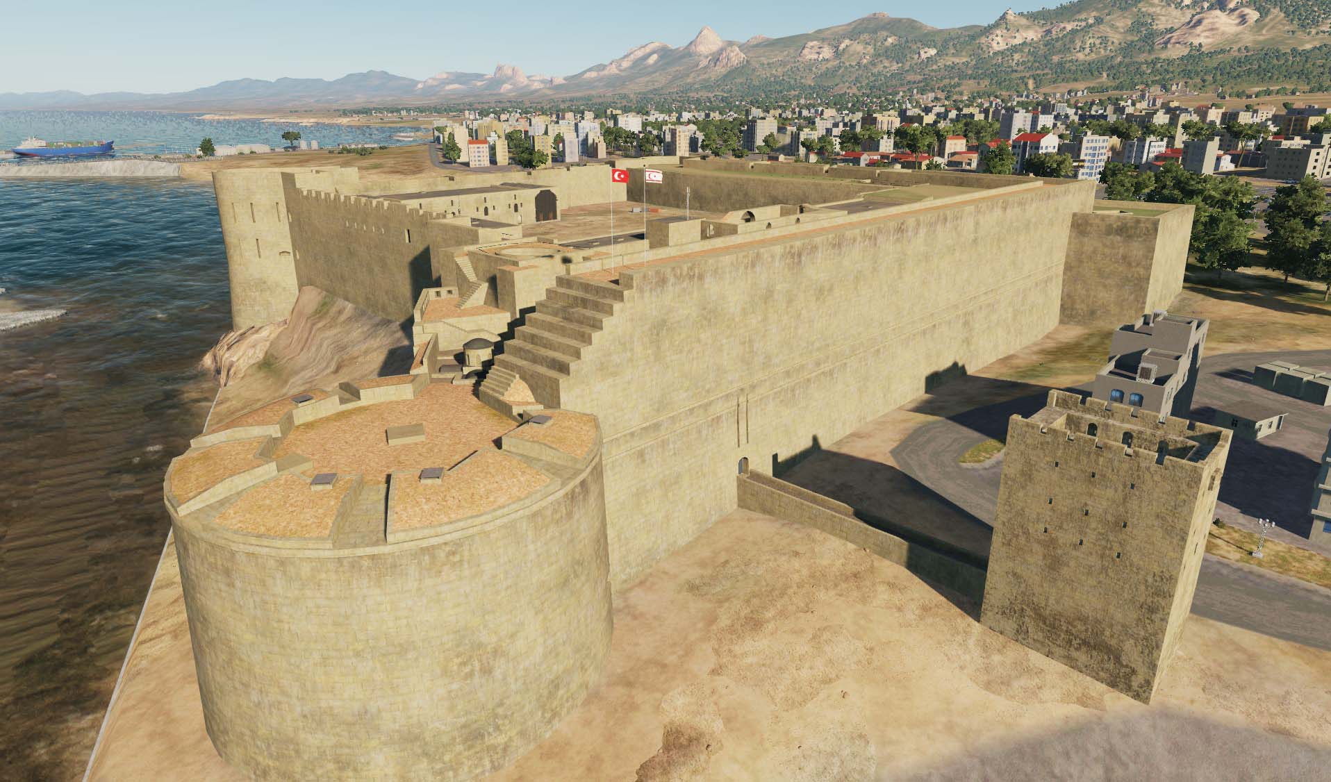
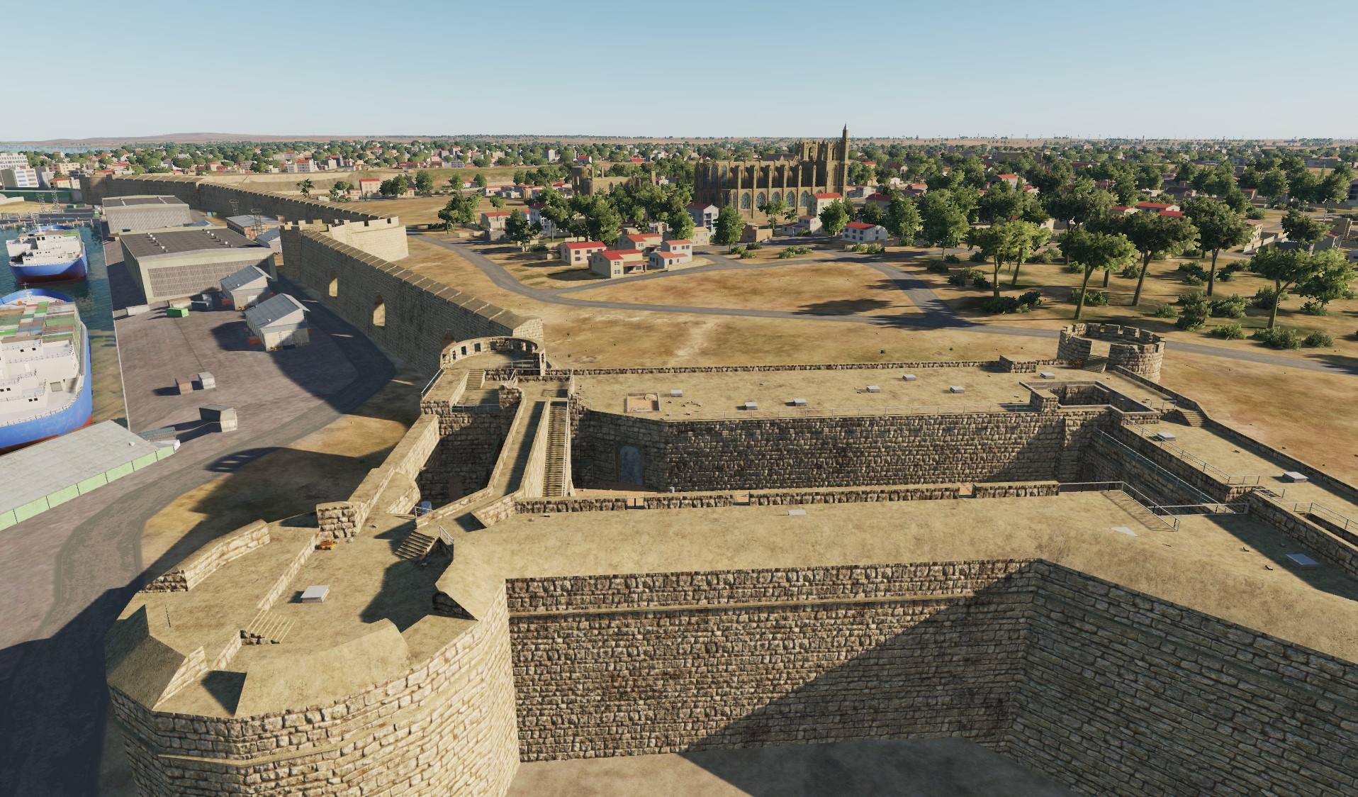
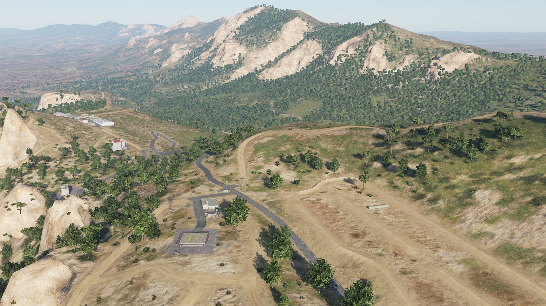
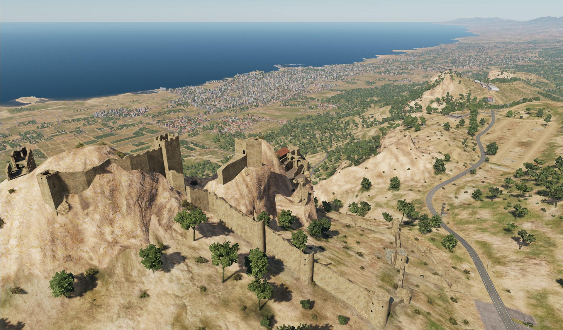
Hello pilots! Today we will go to the mountainous part of Cyprus: St Hilarion Castle (Κάστρο του Αγίου Ιλαρίωνα) Famagusta Castle (Othello Castle) Cyrene Castle Kyrenia
- 487 replies
-
- 12
-
-
-
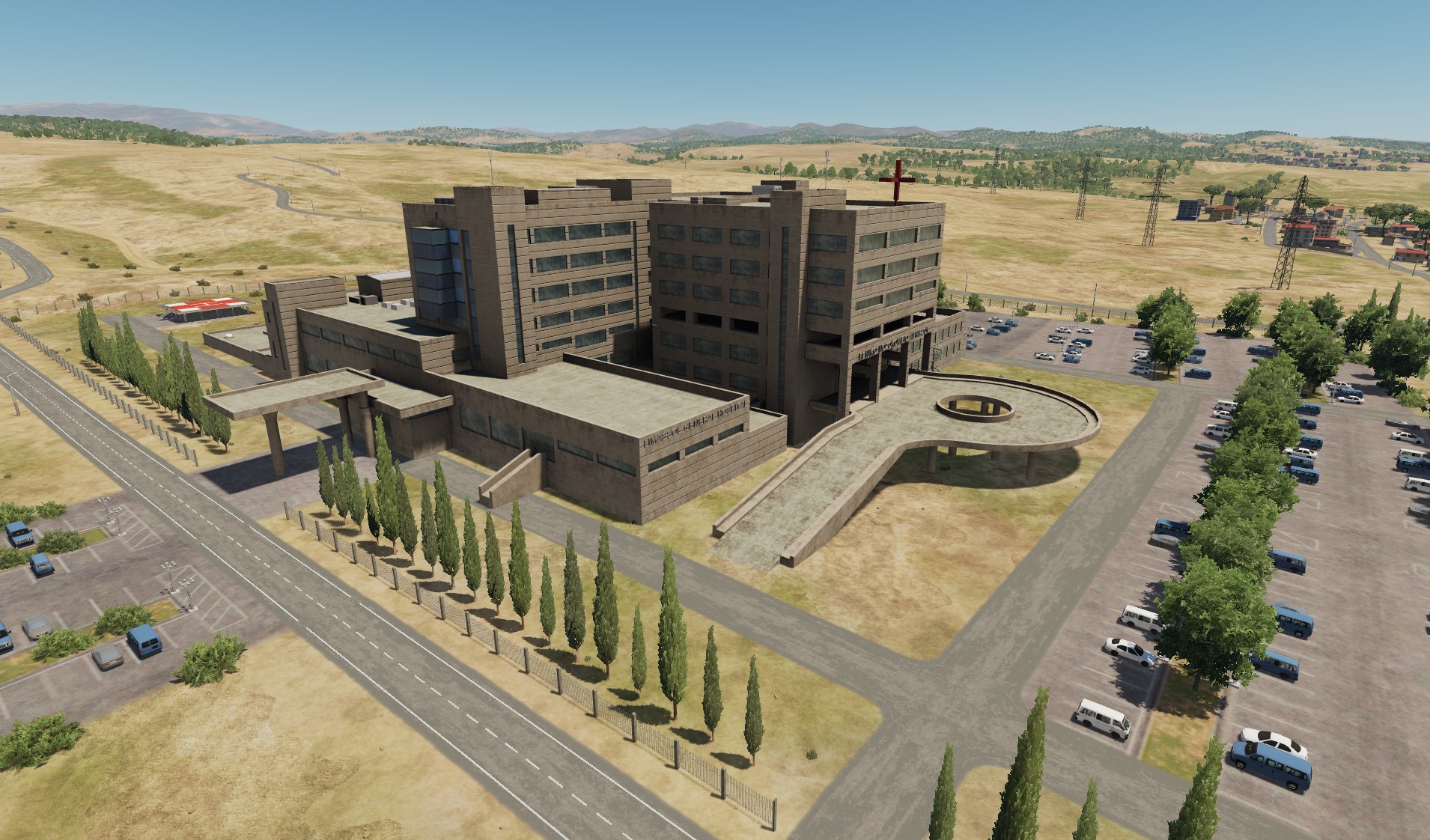
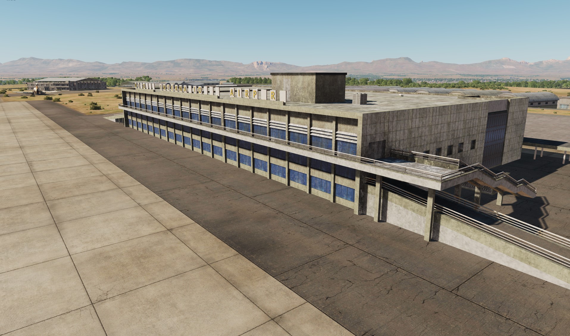
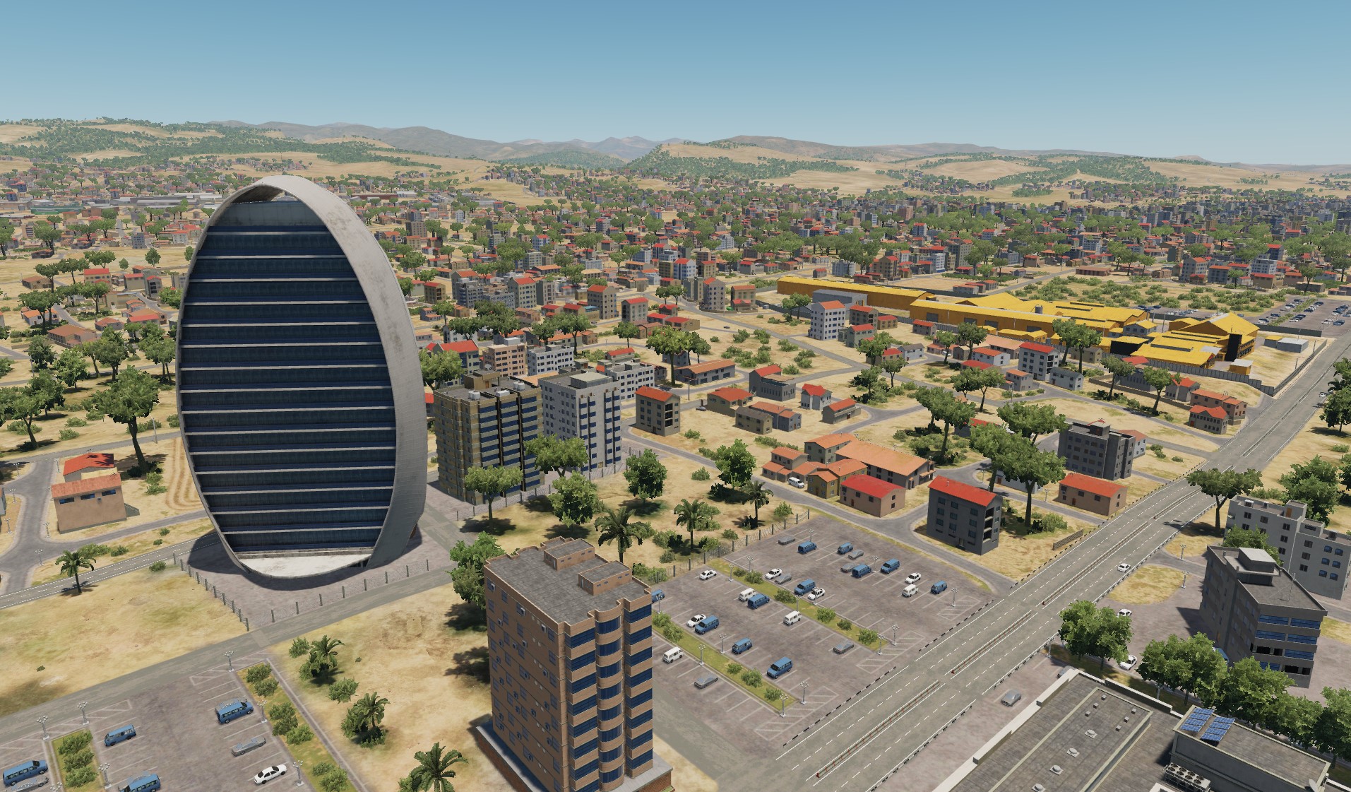
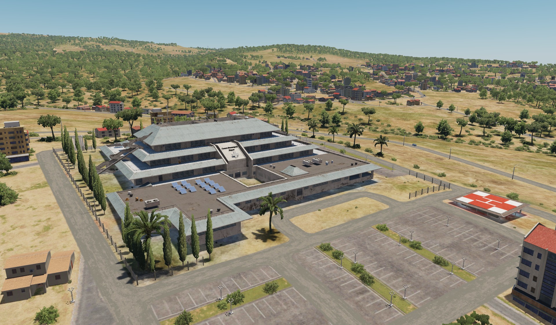
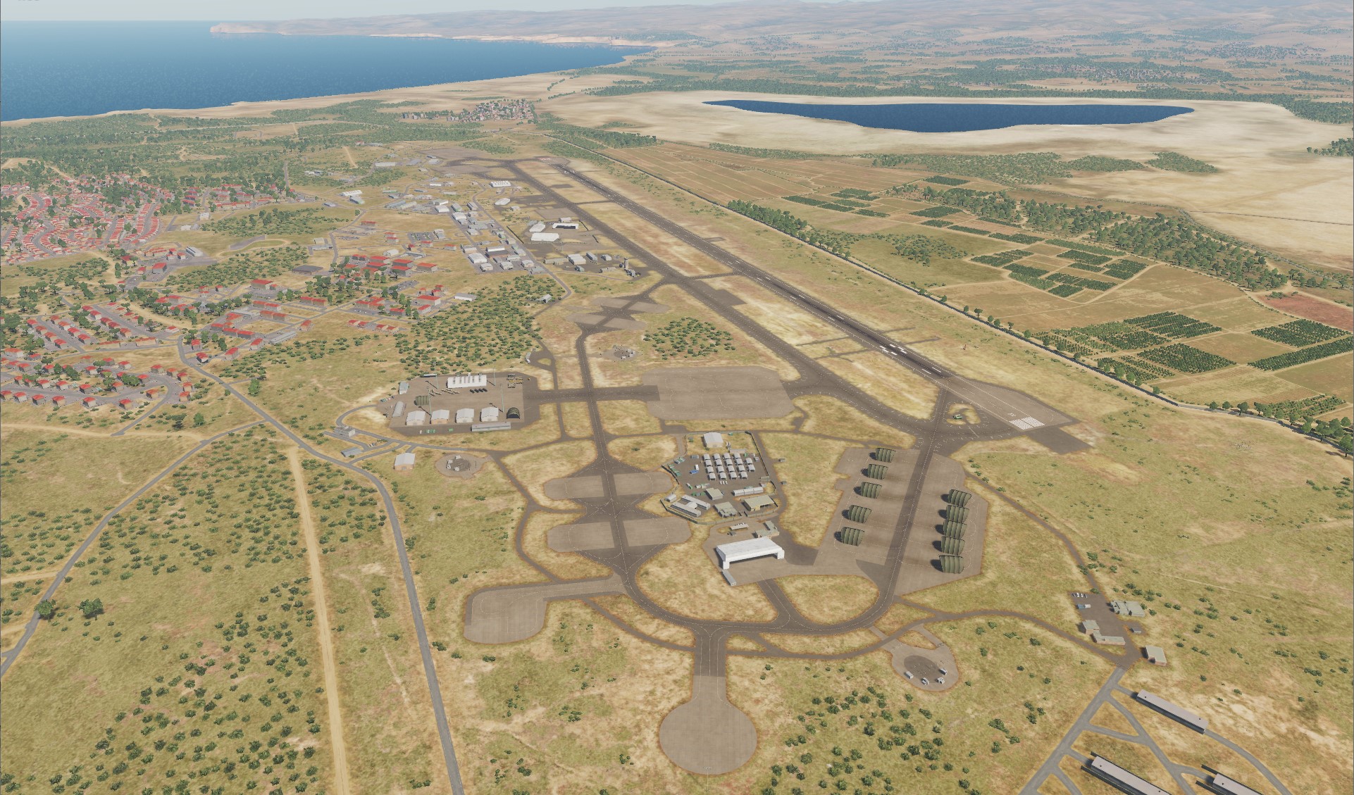
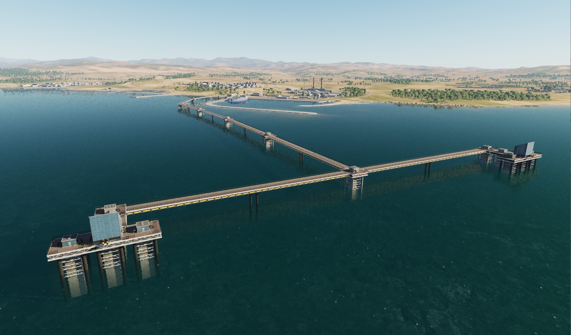
Hey! Let's see what we have today Original objects: Limassol General Hospital Nicosia Terminal Oval and factory KEAN Paphos General Hospital Paphos Terminal Limasol MyMall Airfields in Cyprus: Akrotiri Air Base of the British Air Force Ercan International Airport Gecitkale Airport Larnaca International Airport Nicosia International Airport (closed) Paphos International Airport
- 487 replies
-
- 22
-
-
-
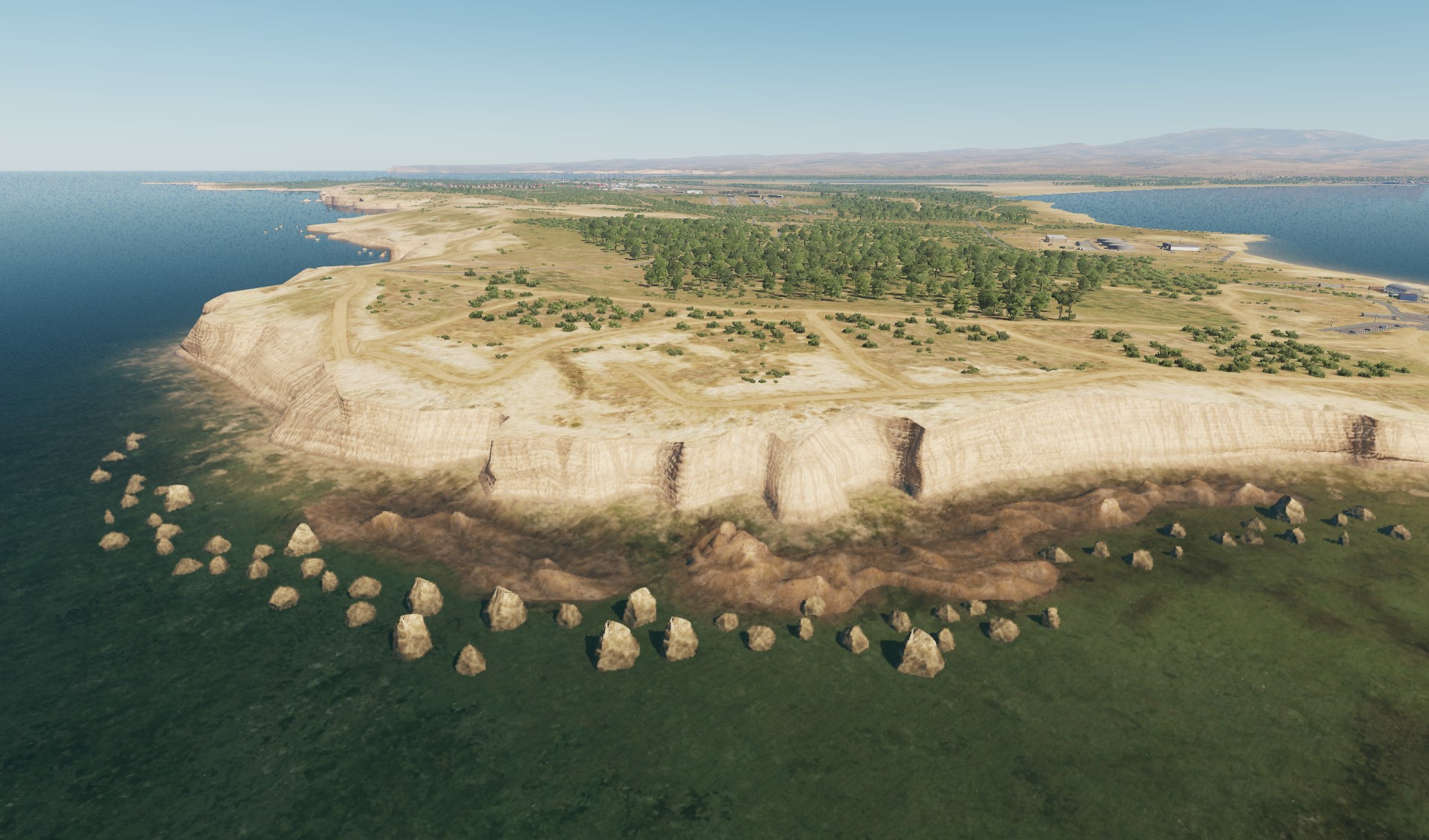
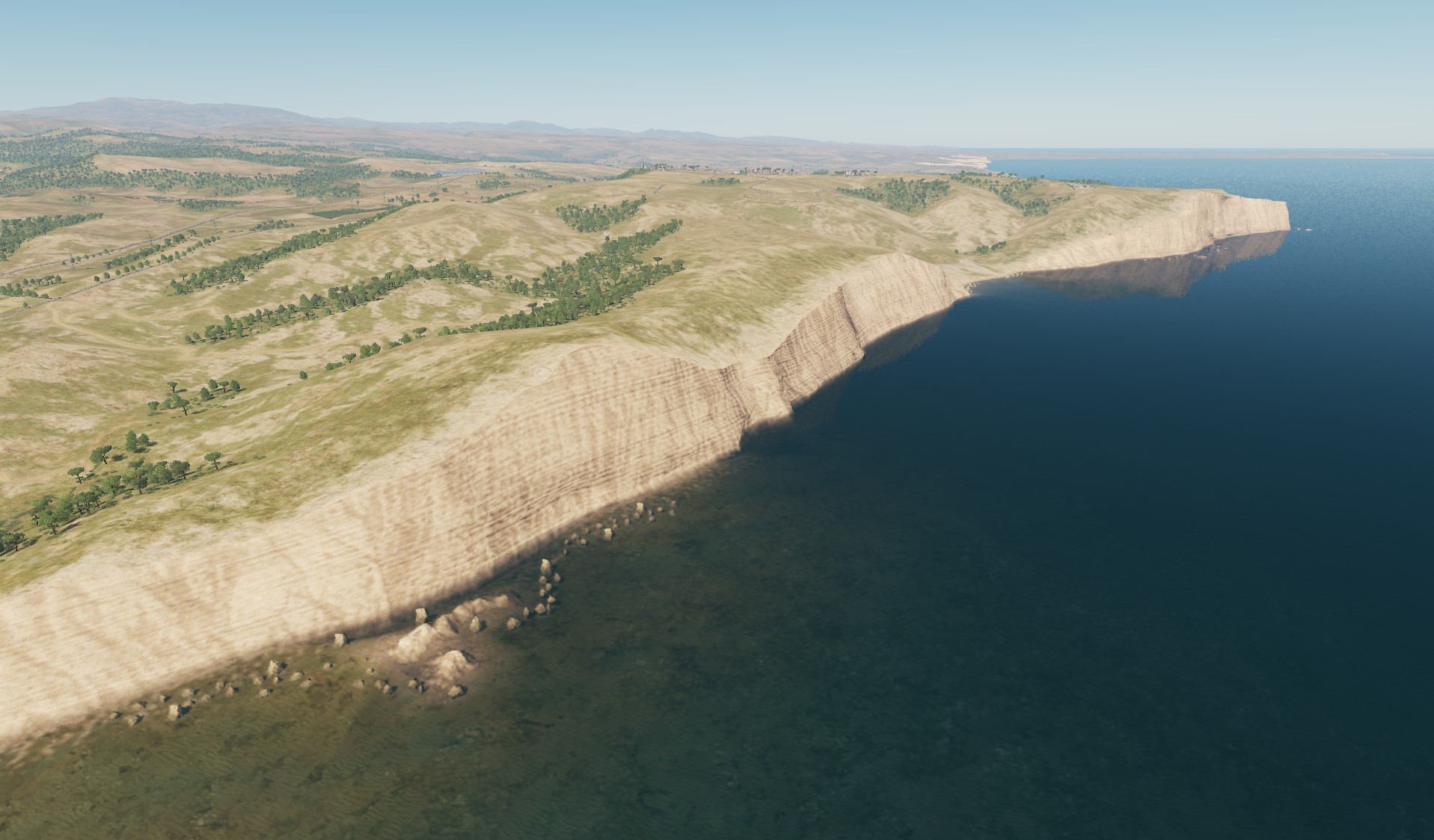
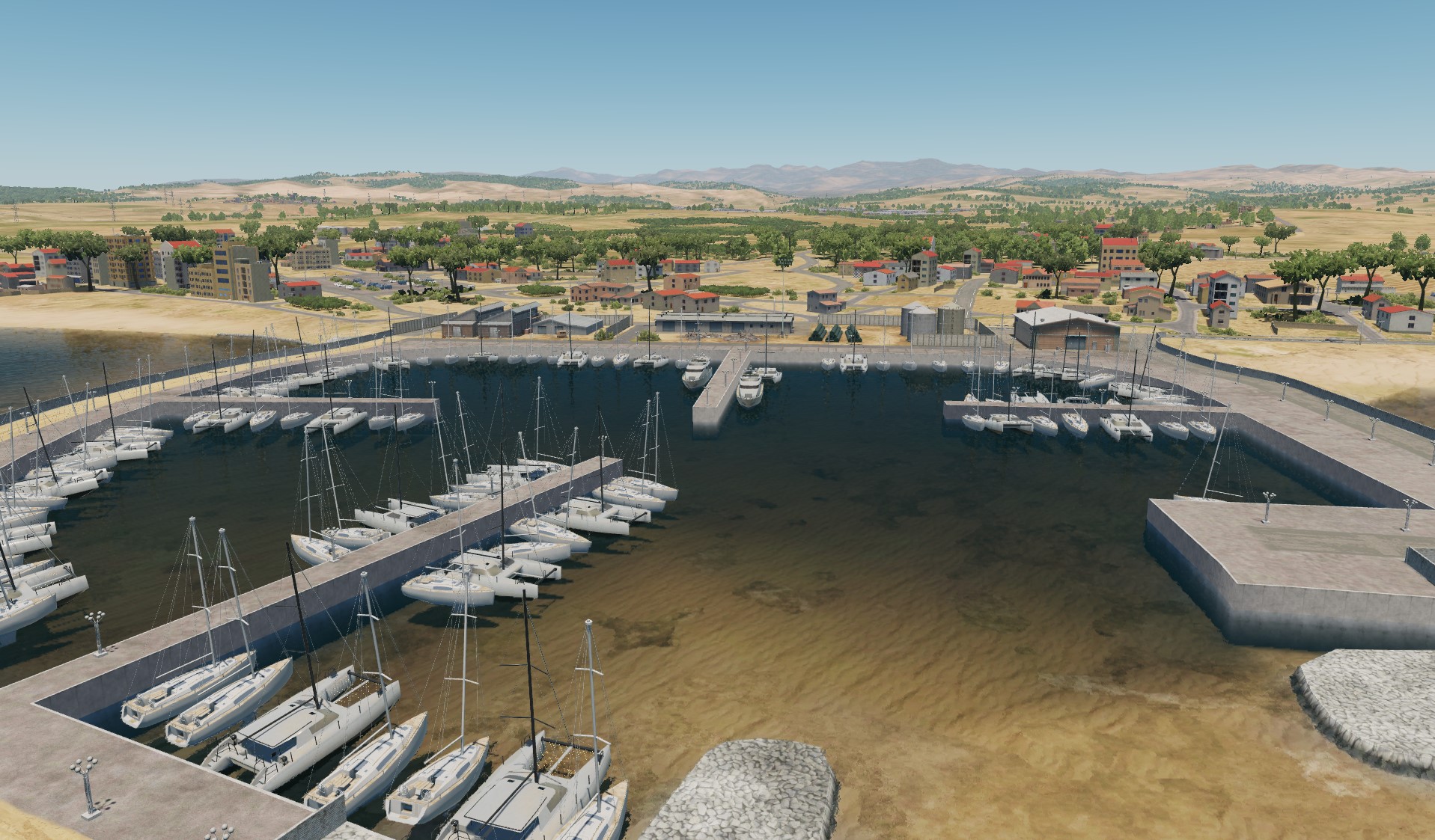
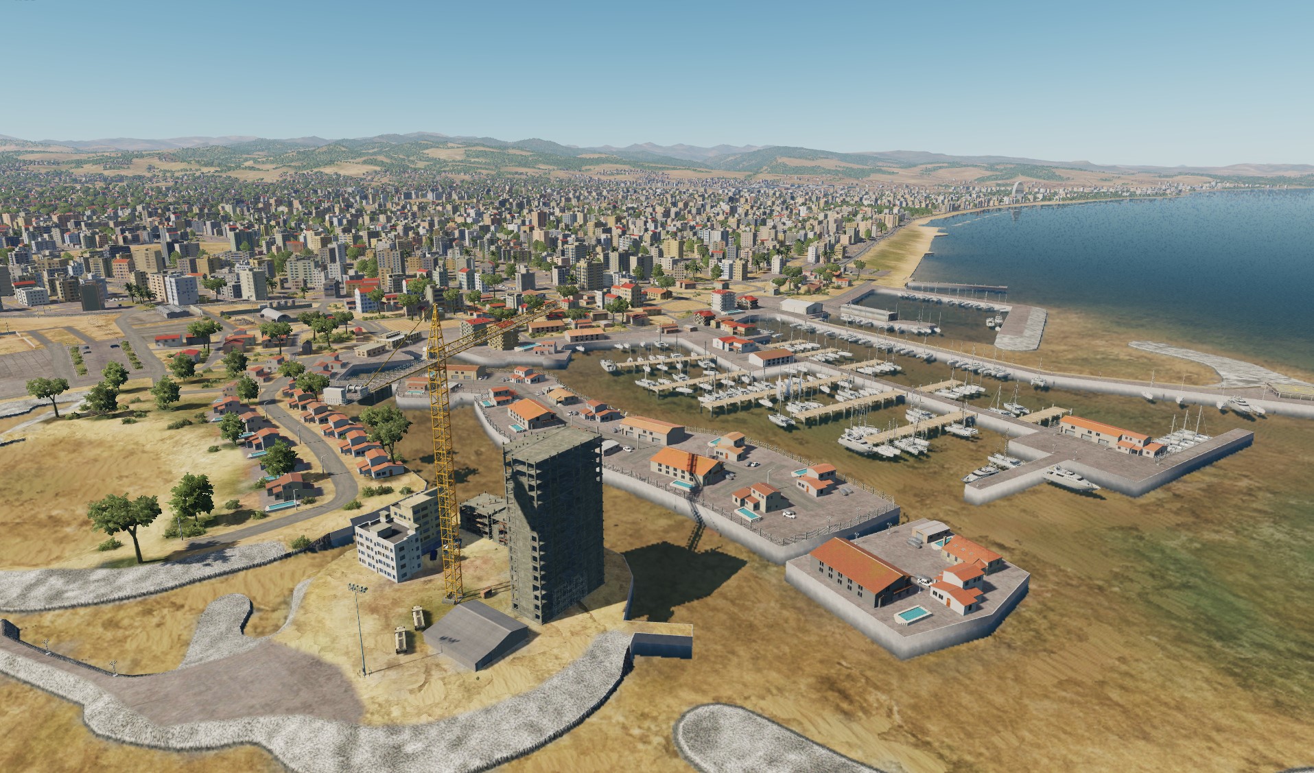
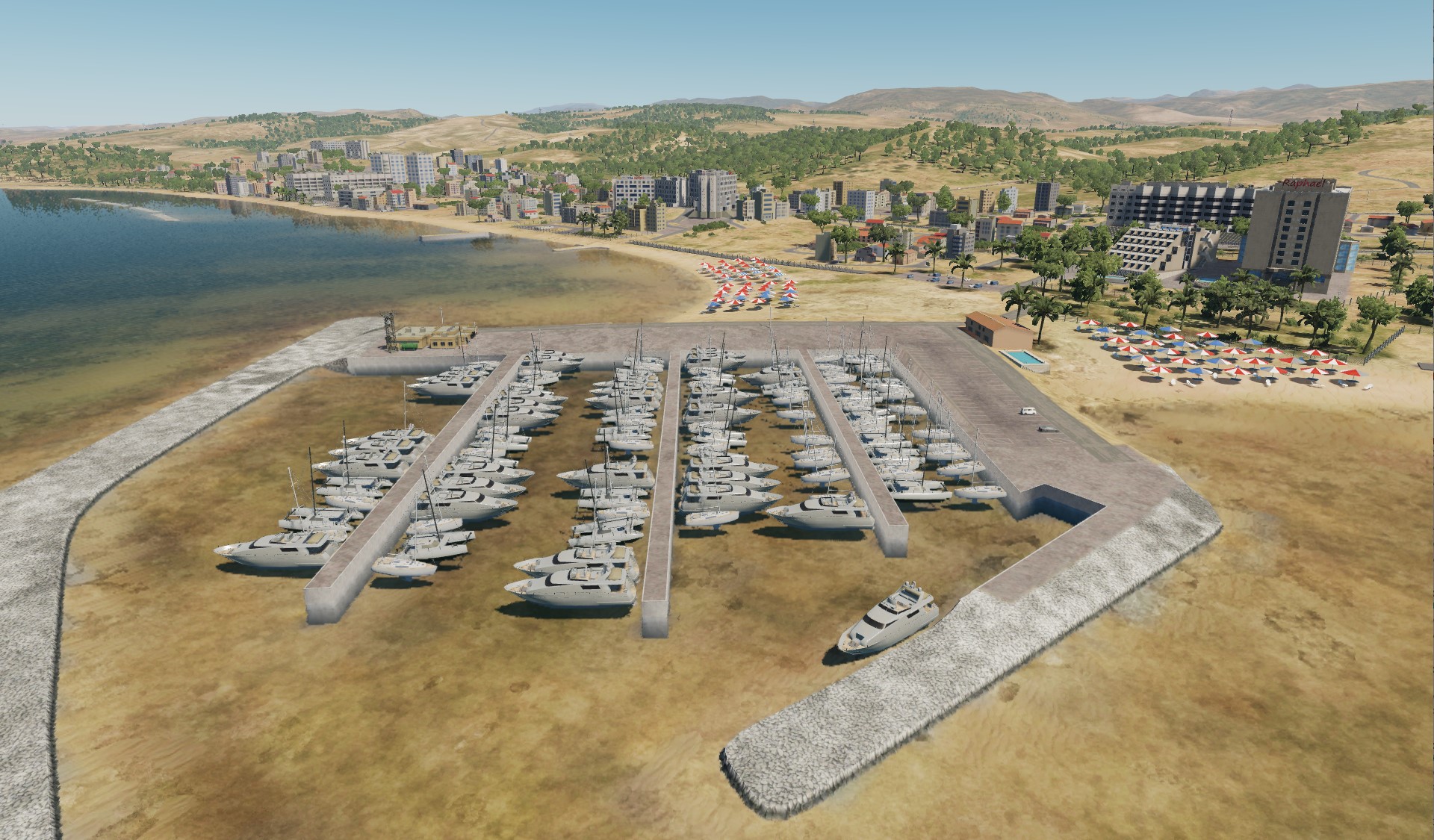
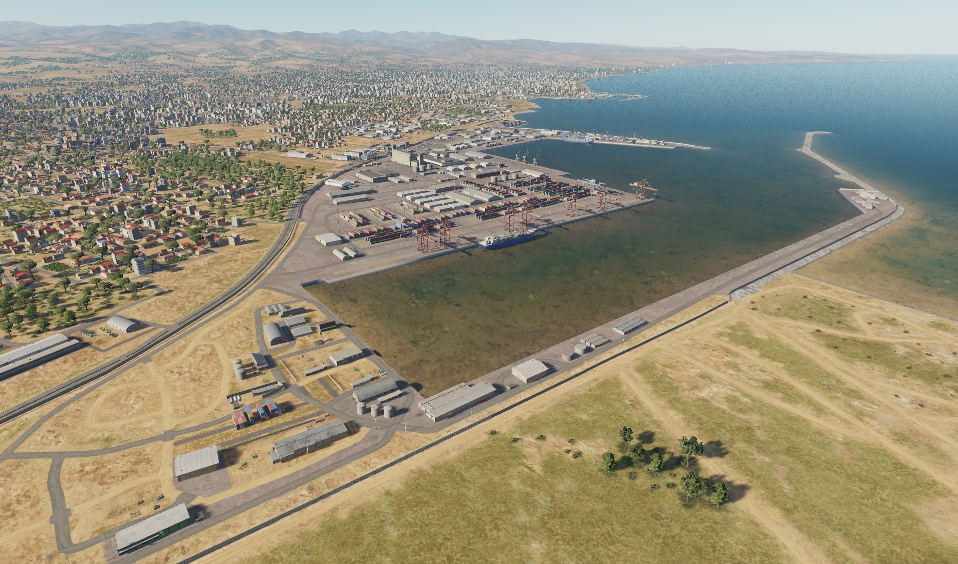
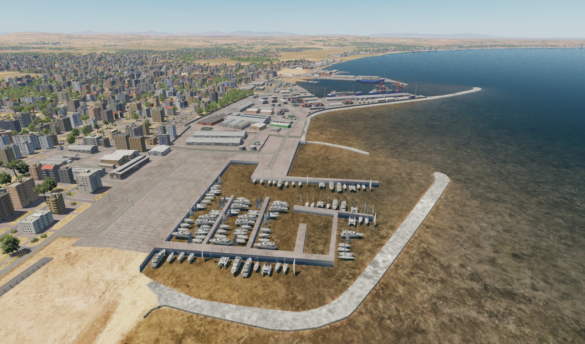
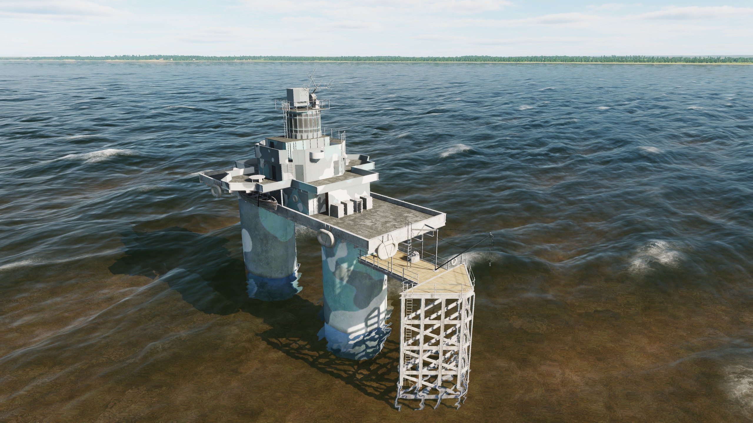
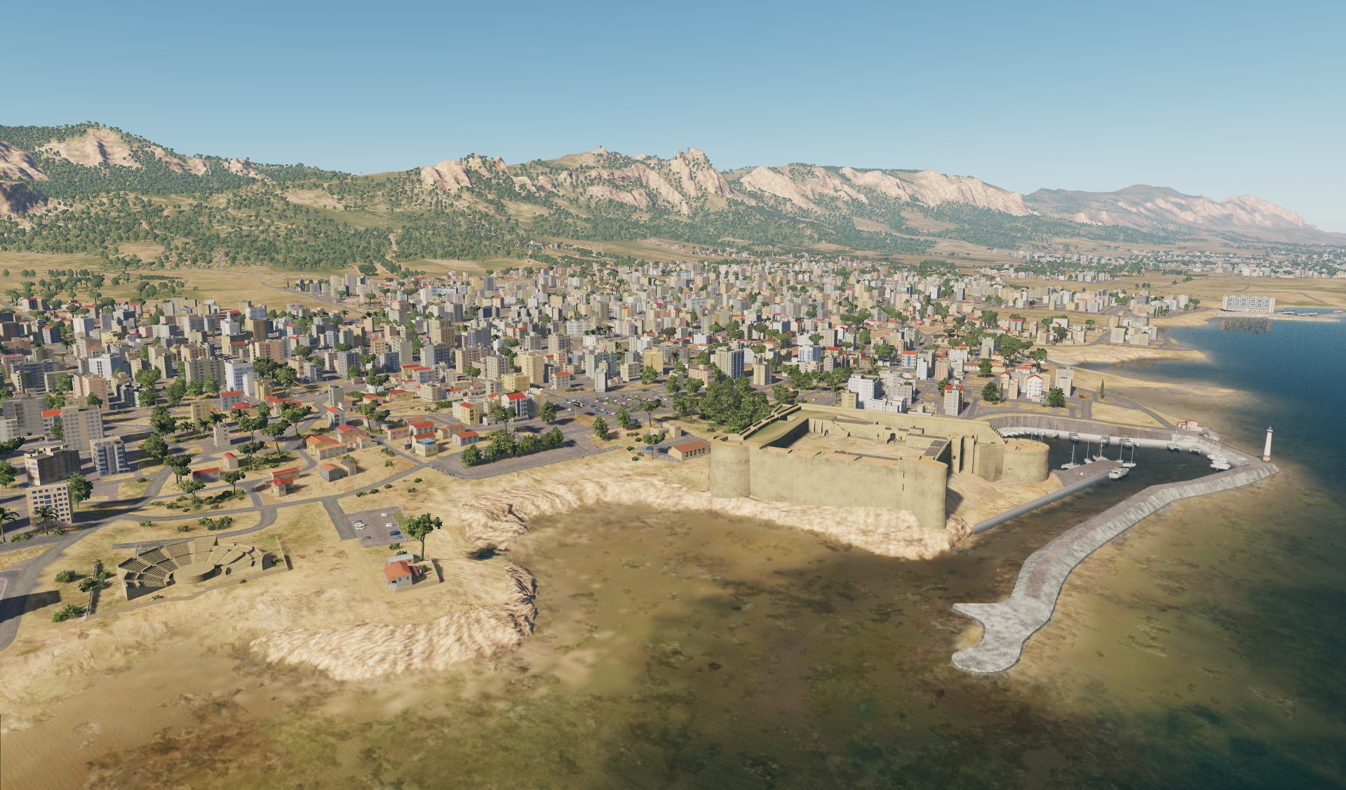
Hello everyone! Several screenshots of the rocky coast. Tourists come to this place and take selfies and photos in T-pose. Cyprus ports
- 487 replies
-
- 16
-
-
-
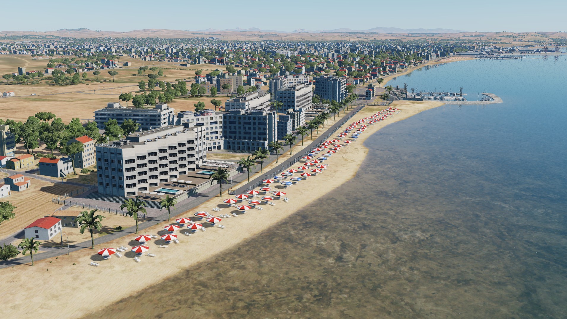
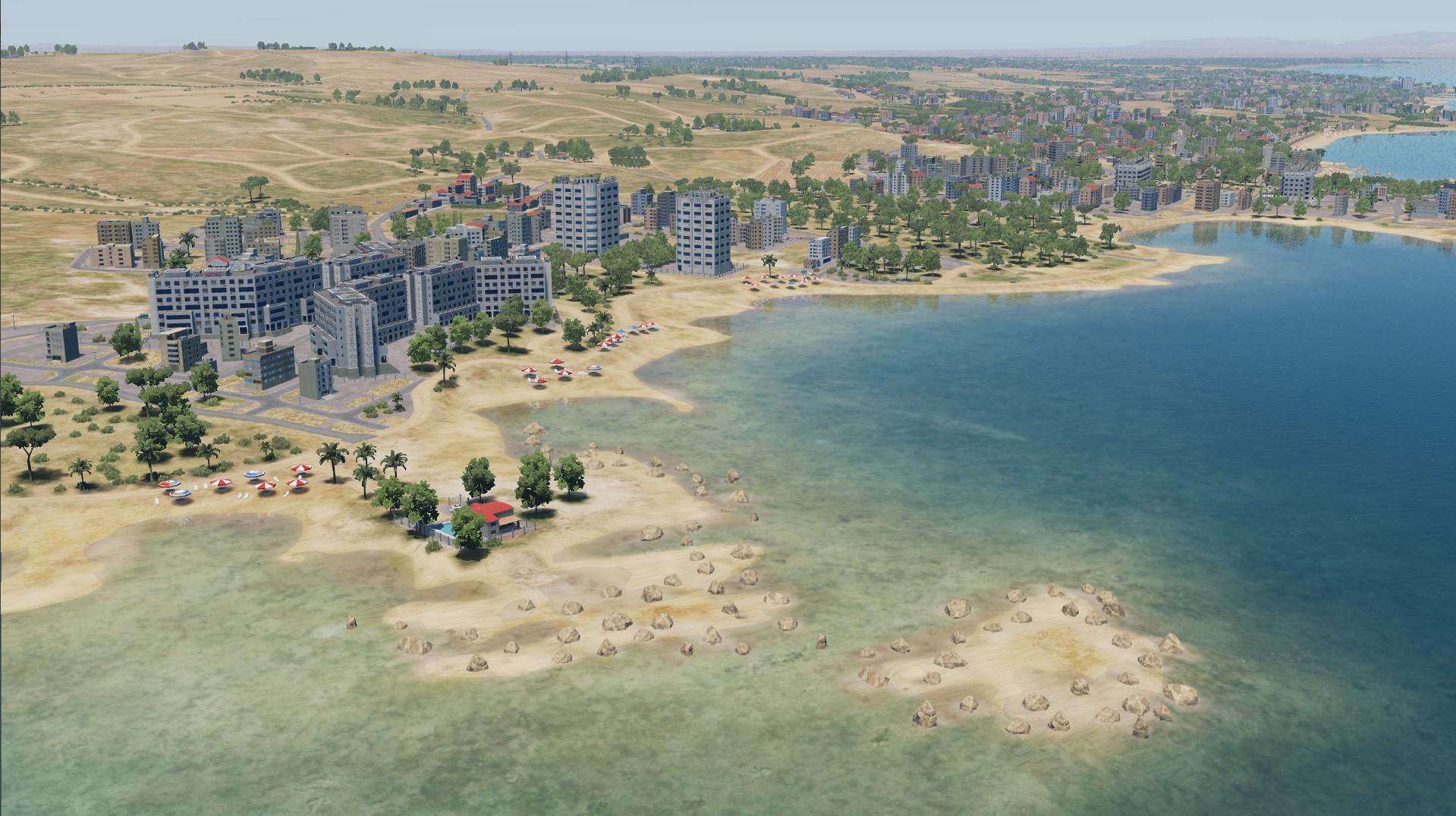
Hello pilots! What are your plans for the summer? Air temperature +26 Water temperature +19.7 (when you enter it seems cold, but it only seems) Let's go swimming! Don't forget about protection the land
- 487 replies
-
- 28
-
-
-
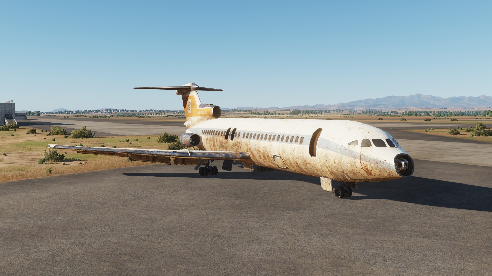
Metochi Kykkou Park (Μετόχι Κύκκου). Nicosia. Cyprus Selimiye Mosque Bank of Cyprus in Nicosia Kings Avenue Mall in Paphos Seaport in Limassol Abandoned hawker siddeley HS 121 Trident at Nicosia airport
- 487 replies
-
- 40
-
-


.jpg.94306cd44ee58861ebc7e910335eb60c.jpg)