Koldkillr
-
Posts
58 -
Joined
-
Last visited
Content Type
Profiles
Forums
Events
Everything posted by Koldkillr
-
Wow we must not have the same plane.
-
Thanks for the videos. I used to be a EMT my self. I went through the law enforcement academy and now do that fir a living.
-
On this topic you would have a flight plan to intercept a vor and then fly away from it on a "radial"(using this term loosely as not to get in to a long description about it). When you know you are over a vor and its x miles at xxx degrees from it to the airport you can use the tcan for the dme and the vor for the direction to fly. Each airport has a chart the tells you what radial to intercept it at and how to fly the pattern for landing/ils intercept. I just wish there was a skyvector for dcs. I have a hard time typing what im thinking I am working on a vid tutorial for reading charts and planing flights i will post it in the next few weeks.
-
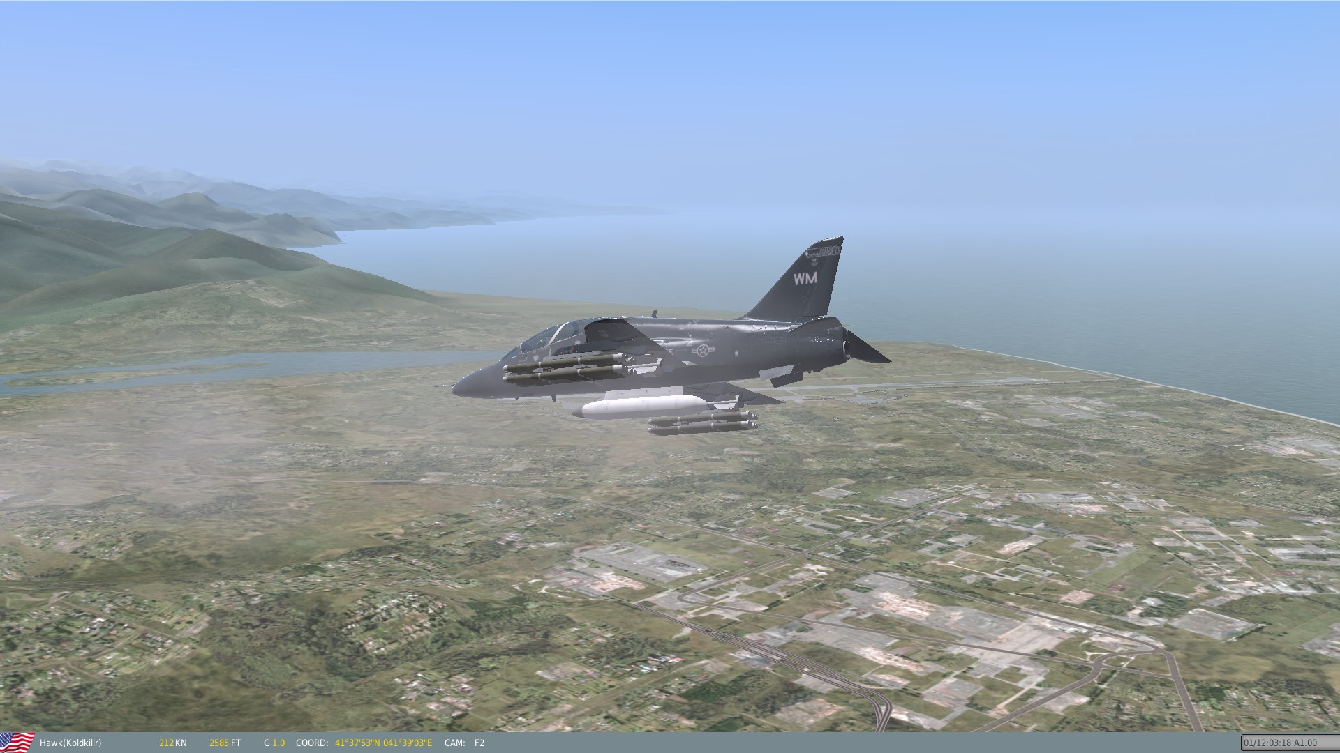
This plane just looks so good with them on it.

-
Ok so this is what I"m trying to do and is it possible. The what : Adding the su-25T hud/camera or A10a hud/mav view to the Hawk. I am willing to do all the work just looking for some help with where to start. I'm swimming up to my neck in .lua and I have no idea on where to start. The why: I want to have some offline fun shooting vikhr missiles or mavs on my test range on something other than the su25t. I have added them to the plane and the vikhr missiles work like dumb fire rockets but would be cool if i could get the pod to work.
-

Anyone help out with this warthog footage?
Koldkillr replied to CookPassBabtridge's topic in DCS: A-10C Warthog
http://static.e-publishing.af.mil/production/1/af_a3_5/publication/afi11-246v1/afi11-246v1.pdf this has info on what he did in the airshow. And it is called the Jink-out -
:) I will just have to fly the Patrulla Águila aerobatics team of Spanish Air Force skin then. But I am ready to throw my money at the screen when ever the time comes thank you for your fast reply.
-
With so many aircraft in the "soon" state I'm going to need a second job lol I cant wait to do some airshows with this one. Does any one know if any teams in the usa use these jets?
-
Next DCS (US) Fixed Wing Aircraft Wish List
Koldkillr replied to diecastbg's topic in DCS Core Wish List
They could just take all my money on this one. ;) -
I have been sucribed for a long time one of the most entertaining informative you tubers I watch. Thank you for all the hard work.
-
These on the range videos were what i needed. Thank you so much they have helped me get rounds on target and improved my enjoyment of the f-86 one of my favorite planes of all time.
-
Thank you so much i found the guide its a god send from blindly clicking stuff
-
There is a quick start guide?
-
so far I switched the switch to bombs in the center beyond that have no clue what else I need to press or flip have been trying switches and pressing stuff like a mad person
-
How does one use the bombs i have mucked my way through getting the rockets working and air to air but can not for the life of me get the bombs to come off the rails
-
I'm glad I have a mechanical key board I may need to order a replacement f5 key soon