Jump to content

earnil

ED Closed Beta Testers Team
  • Posts

    107
  • Joined

  • Last visited

Everything posted by earnil

  1. Discrepancy in altitude / QFE / QNH settings That’s interesting. I checked our AIP and it’s quite specific that in controlled airspace you need to use local QNH and regional only outside controlled space (well as you can imagine it’s not that straightforward but that’s the gist:-) Probably must be defined differently for your country. Didn’t realize that even things like that differ from country to country. edit: grammar Sent from my iPad using Tapatalk
  2. I know but that's what it shows (see screenshot). Well, I don't think it's exactly like that either. Airport QNH is based on pressure reading at that airport (QNH is calculated from QFE) and therefore those converters would work (I actually think that by definition QNH has to show airport's true altitude above MSL). What you probably mean is regional QNH which is the lowest QNH from certain region.
  3. Ok, thanks a lot! I guess that's it. Question specifically for Viggen though. How does this impact deployment of weapons that rely on correct QFE settings? For example, in this particular case, does the plane 'know' it's in fact at altitude 561m and will it calculate the impact point correctly?
  4. Hello! I have noticed a ... let's call it a glitch ... and I'm not really sure if I'm just doing something wrong or this is actual problem. Situation - Mission 3 of Red Flag Campaign - starting position (this is just an example, I have noticed similar behavior in other settings as well) On F10 map, the altitude of Nelis AFB is noted as 561m / 1840ft QNH as per mission editor is 1012 hPa / 760 mmHg Pressure setting on main altimeter (which shows 0 altitude) is 955 hPa Pressure setting on backup altimeter - 1012 hPa and it shows altitude 480m I did a cross check with some online tools that can calculate QNH / QFE / h like this one: http://www.hochwarth.com/misc/AviationCalculator.html#QNHQFE Altitude of 561m with QNH 1012 hPa is consistent with QFE of 946 hPa (not 955 that is shown on main altimeter) QFE 955 hPa is consistent with altitude of 480m as shown on backup altimeter rather then in game 'true' altitude of 561m of Nelis AFB. I'm not sure if my explanation makes sense so I'm attaching a picture as well (hopefully worth 1000 words) Same issue happens with Caucasus map as well and the error appears to grow with altitude, i.e. if the plane spawns at sea level, there is full consistency, higher the altitude more the setting seem to differ. I'm taking my chances and reporting this as a bug, apologies if this is just me not understanding something properly.
  5. Hm, you're actually right. It could be. My mistake was that I always input just XXXYY and it seems to work just fine for me so I assumed it's same like when you're inputting VIND info where it's also XXXYY. Also I think the cheat sheet for computer codes implies that it should be XXXYY, so that probably reinforced my belief that it has to be XXXYY, but in the end you're right, it doesn't state it specifically anywhere.
  6. Yeah, it discusses the pop up point input on several places and some of them are vague. I just checked myself and the most relevant part is on page 186. It doesn't mention the format specifically, but there's a picture that shows that it's XXXYY.
  7. If I remember correctly, if you forget to insert the cartridge and run 9099, the waypoints won't load. The cartridge must be there for flight plan to load. You still get the LS / LMAL and you can enter the waypoints manually.
  8. Pop up points are definitely defined FROM pop up point TO target and moreover accept XXXYY value rather then XXXYYY (you can input only whole numbers for distance) I'm not sure how you ended up with the actual position of the pop up point you report, though. Maybe the fact that you input six numbers instead of five confuses the computer in some weird way.
  9. The functionality is bit confusing but this is what I understand: SERIE / IMPULS - with antiship missiles SERIE launches all missiles, IMPULS one by one. - with ARAK, it selects between normal (NORM) and long range (LA) mode GRUPP / ENKEL - with antiship missiles - this tells the missile whether you're attacking group of ships or a single ship. Not sure if and how this is modeled in DCS - with ARAK - selects between firing all missiles (GRUPP) and one by one (ENKEL) The serie / implus switch would be much more logical choice for selecting whether you want to fire ARAK one by one or all, but since it's already taken by normal / long range mode, I guess HB thought the other switch is next best thing.
  10. Because it really works - see screenshot:-) Bit of background here: https://forums.eagle.ru/showthread.php?t=181816 tl;dr - IRL Viggen has this capability, but it's dependent on the rocket pod mounted rather then the switch in cockpit. It was used for training pods (with live missiles however) - the GRUPP/ENKEL switch DOESN'T have this function IRL, this is workaround implemented by HB to simulate the training pods
  11. Yes, single shots (per launcher) are possible. Behind Weapon Mode Selector and Interval rotaries there are two switches, the latter one can be set into either "GRUPP" or "ENKEL" positions. In "GRUPP" it fires all missiles from all launchers. In "ENKEL" mode however, it fires just 1 rocket per launcher, giving you 5 salvos of either 2 or 4 missiles.
  12. Same here. In 1.5 absolutely comfortable to use, 2.2 and 2.5 horribly slow.
  13. Hey! This happened to me as well. Apparently, it happens when you have RB75/MARK/DYK selected on your weapon selector switch. With anything else (ATTACK, etc...) it works as intended.
  14. Just a thought, do you disable the target motion tracking (TAKT - 221 - LS/SKU)? It's on by default and if you're not absolutely pinpoint on during the dive it messes the solution for stationary target quite a lot.
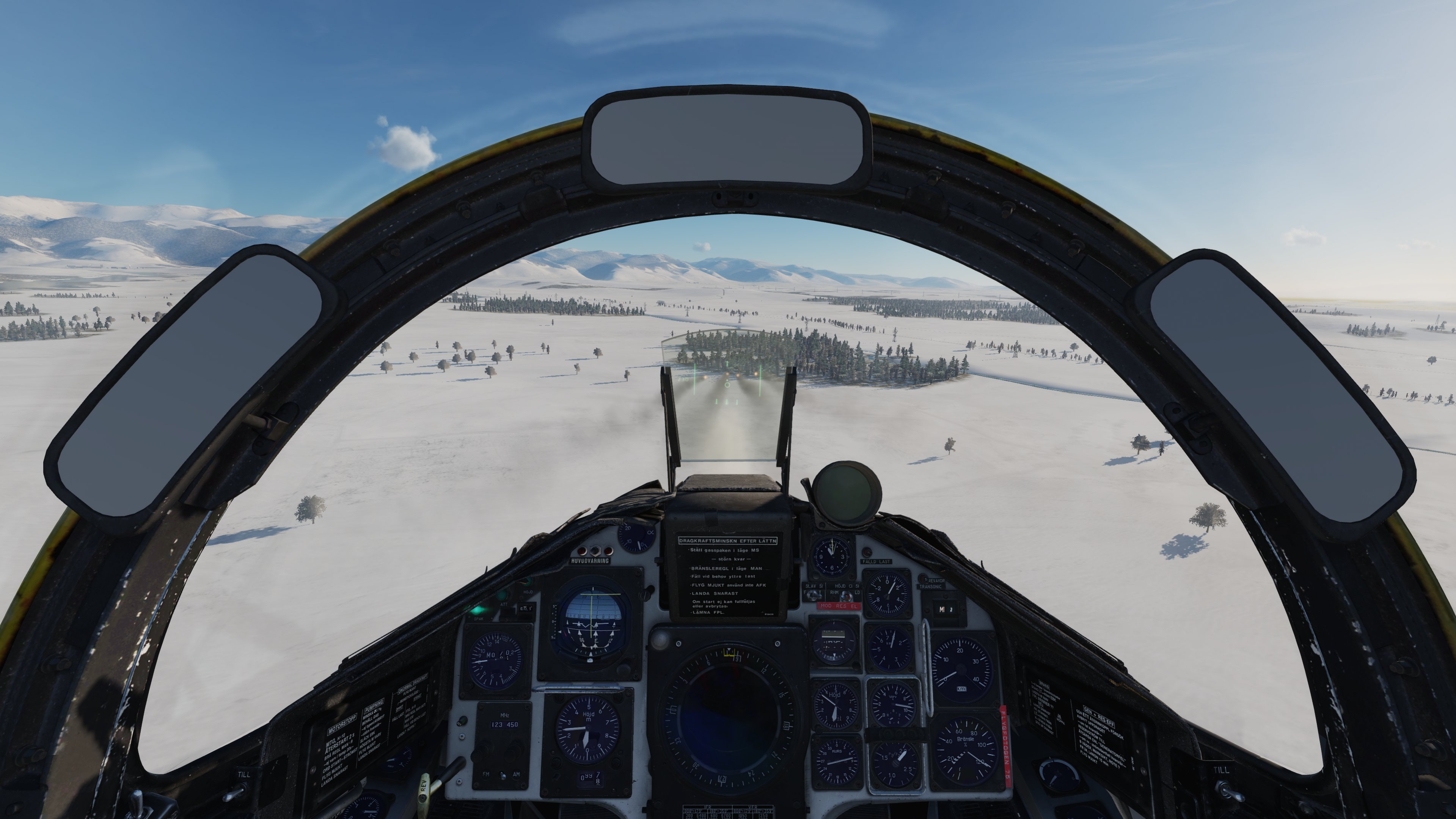
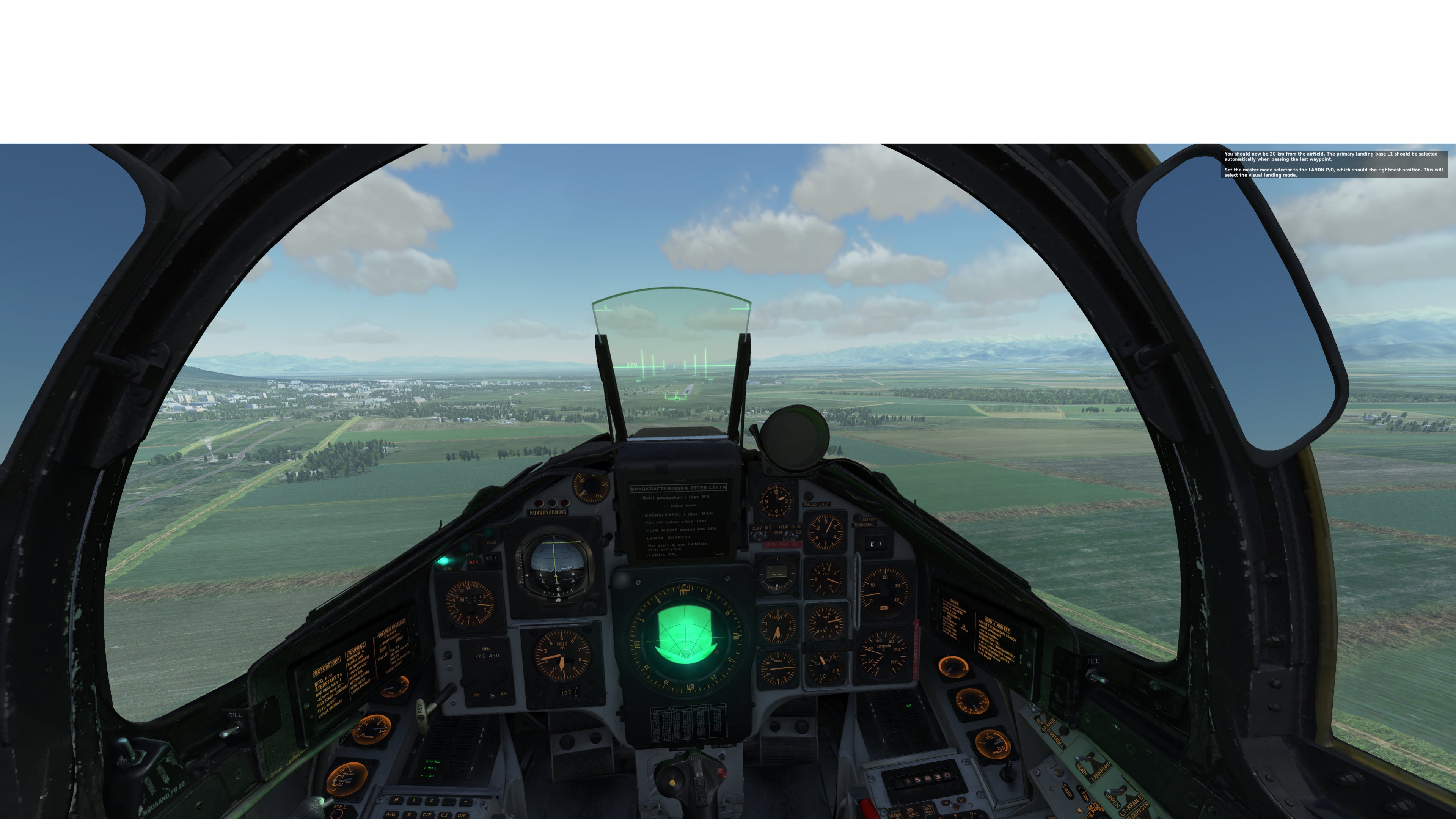
  15. Hi! I have noticed bit strange behavior while using NAV Landing mode. Normally, when using NAV Landing mode, Viggen switches at 10km distance from airport from horizontal guidance at 500m to glide slope. At the same time, horizontal flight director needle on the ADI starts to reflect the glide slope as well. If I descend below glide slope, both HUD and flight director switches back to horizontal guidance at 500 meters (see screenshot) and when I get back to correct glide slope, it changes again correctly to glide slope guidance. I wonder if this is intended behavior or a bug. The DCS version is 1.5.7.11762
  16. Ok, so after experimenting some more, I think I found the cause. This is happening only if I set weapon selector rotary switch to RB75/MARK/DYK mode. If I change the setting to any other value, the fix starts working again. I wonder if this is intended behavior, but in any case, it's quite confusing.
  17. Yes. It's usually in status 2 (when I've been flying over the water for a while for example and I'm nearing coast to do fix on some terrain feature). I haven't tried it when it was in status 5, but then I guess I wouldn't need to do a manual fix in a first place since TERNAV is constantly doing that for me, no?
  18. Hi everyone! I'm having lately a problem with doing the INS update. In radar mode, when I press T1, I get the cross, radar mesh disappears, but the WP doesn't change to E (instead of B). And when I press TV to make the fix, I just get back the radar mesh, but the cross is still there and WP position is not updated. For visual fix, when I press T1, WP changes to E and back to B when I press TV, but waypoint position doesn't change. What is the most frustrating is that sometimes it works ok and sometimes it doesn't and I can't really pinpoint what makes the difference. Thanks a lot in advance, any help is appreciated! I assume I'm missing something really obvious...
×
×
  • Create New...