trujillostm
-
Posts
162 -
Joined
-
Last visited
Content Type
Profiles
Forums
Events
Everything posted by trujillostm
-
I found the digital terrain model of spain. You can see some examples here.

-
Do you mean 10x10 km or 20x20 km? 20x20 km are 400 km2 not 20 km2. The basic terrain is 10x10 km = 100 km2. If you apply 2500x2500 m in 10000 x 10000 m, you are rescaling in unreal size...
-
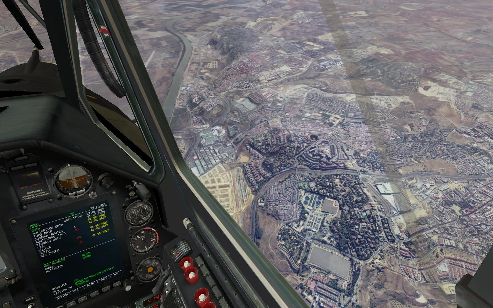
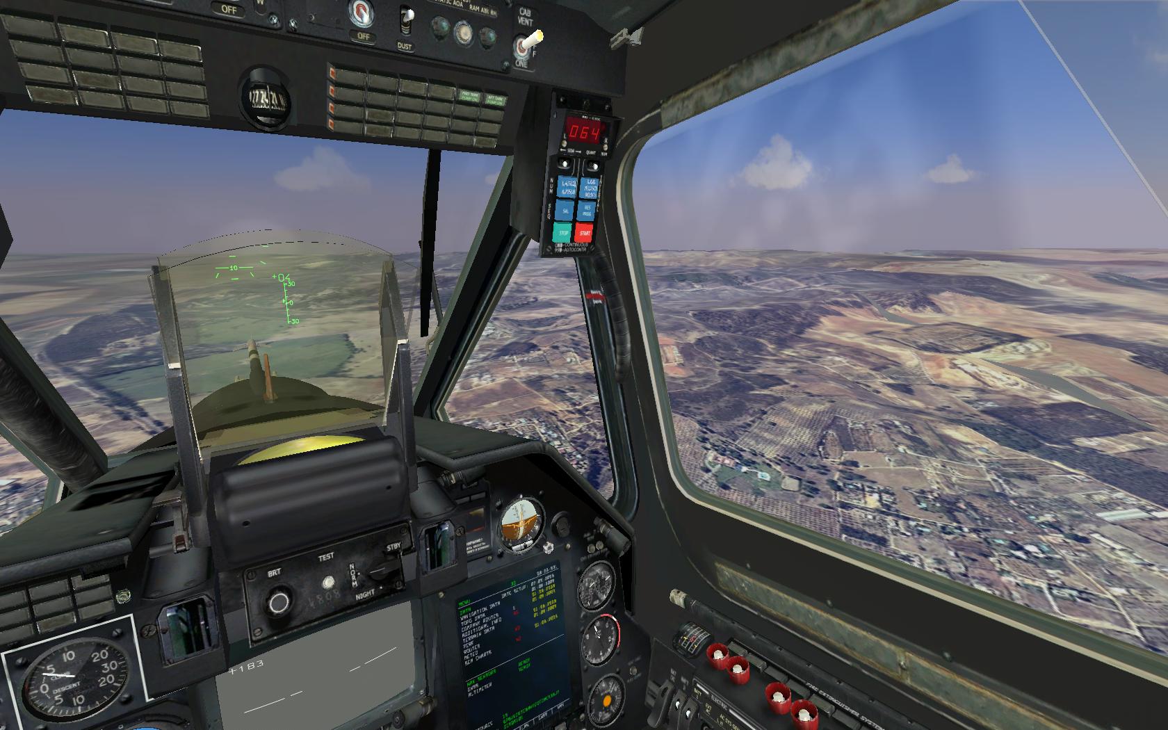
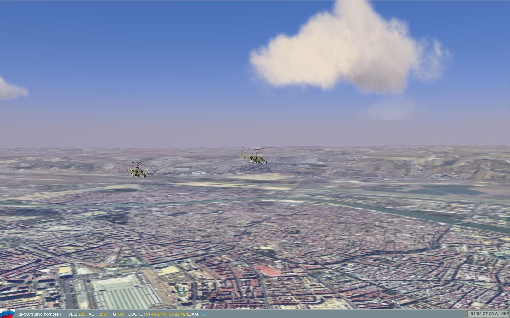
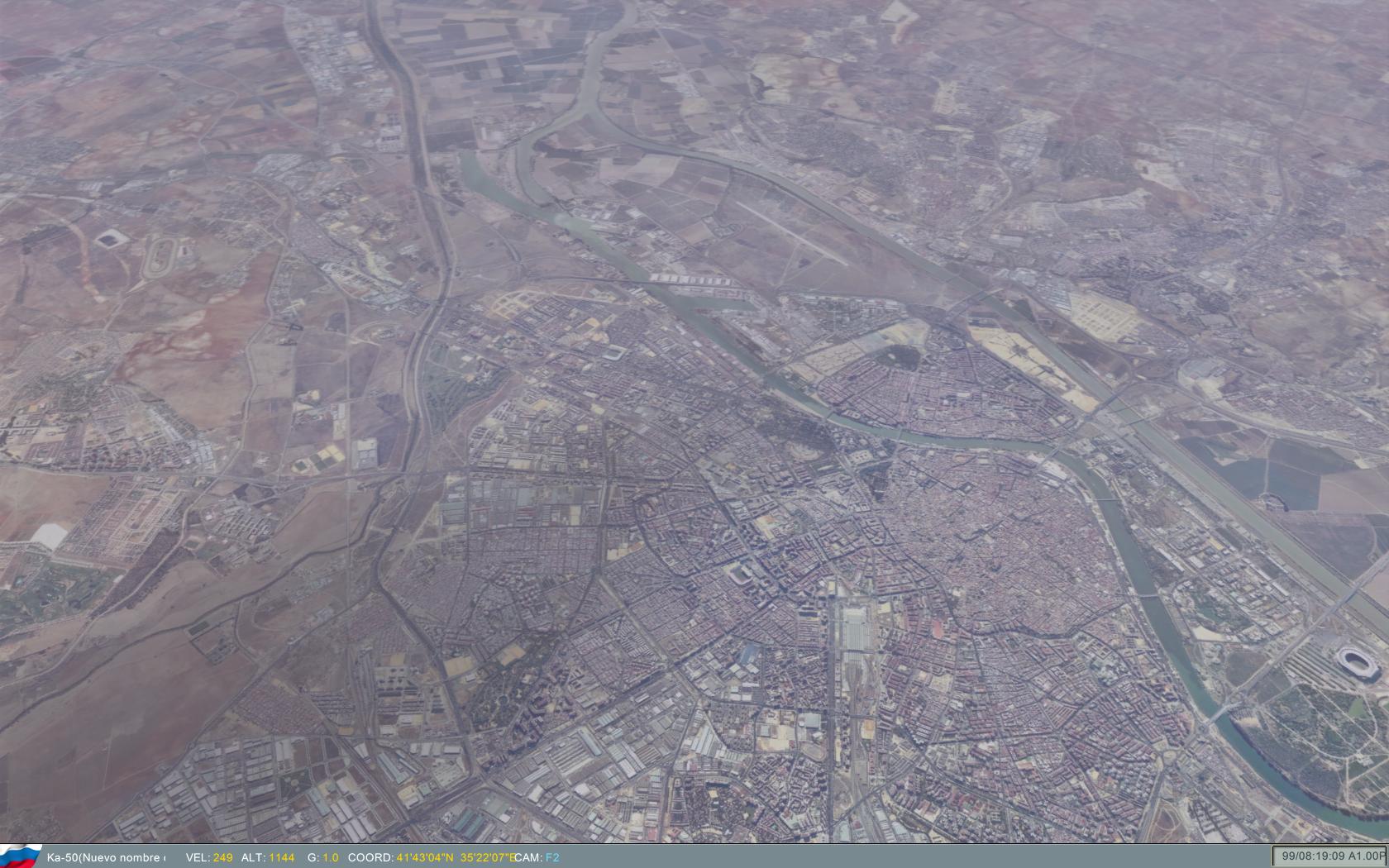
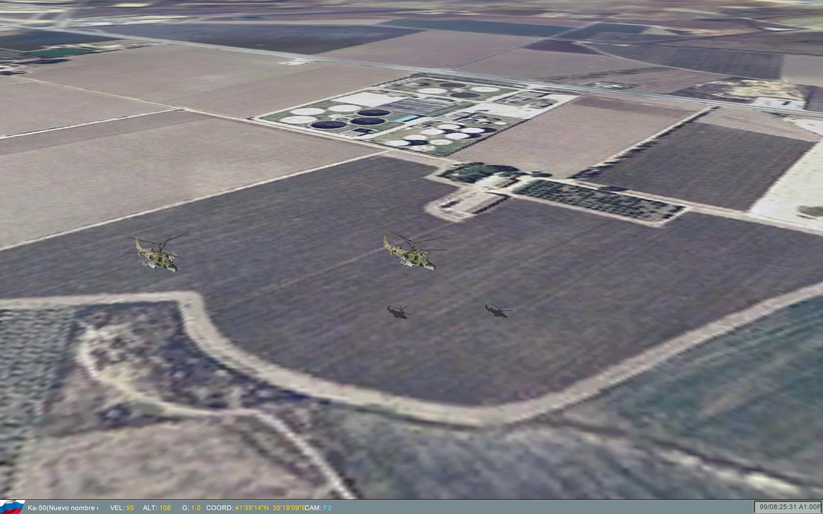
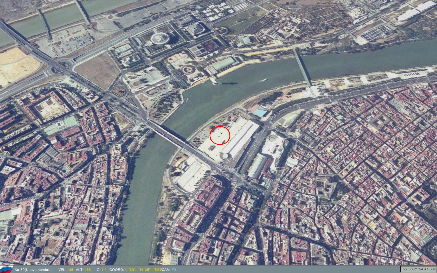
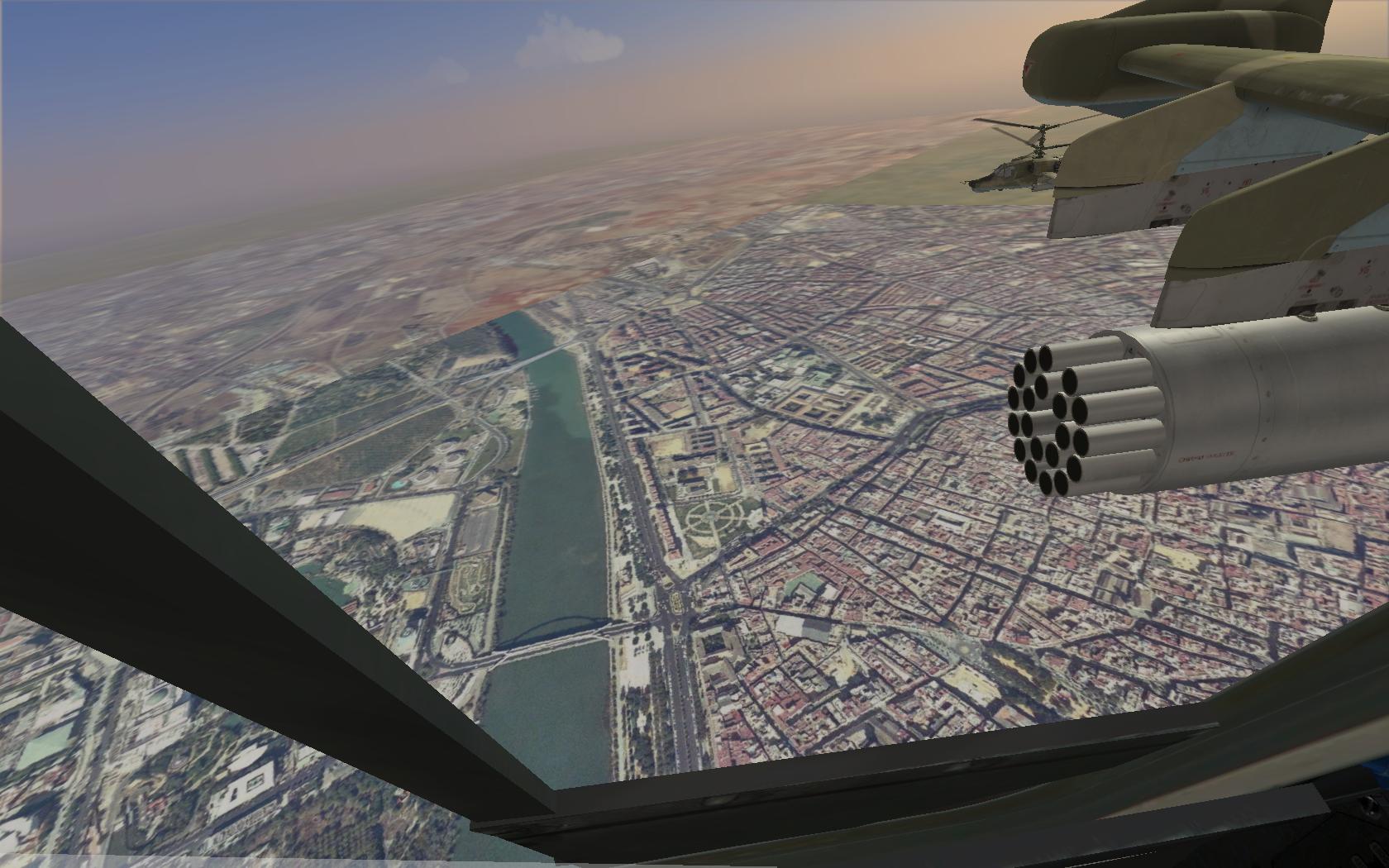
I'm looking for terrain. For now I'm researching the textures. Here, a great scenery of 30x30 km. of Seville (Spain). A low fly over the terrain.
-
In Spain, PNOA is the last scanning of aerial photography, for public access. I don't know in Portugal... I will test with 8192x8192 resolution in all scenery, in all 10x10 km squares. My computer is very 3D prepared, because of it I will create some texture packs, with other less resolutions for other basic computers... I want to create on ModMan...
-
The ground is lower, I have to fix it, but respect the proportions of the texture of reality. In the other example that attachment, I use textures 8192x8192 pixels, about 1 m / px I get in Spain.
-
I think 10 x 10 km in 4096 x 4096 px is very good resolution. More examples here, from Cockpit. Look at the shkval... you can see the texture.
-
More examples... Resolution of 2048x2048 and 4096x4096 in every 10x10 km square.
-
hi all. I'm making progress. I have created a file .lsa2 and .cdds. I created a mission at coordinates indicating the tutorial. I will try to increase the resolution of textures. what you see below is my city, Seville (Spain). This example with 512x512 resolution in every 10x10 km.
-
Ok, now I'm using RELEASE version. Windows XP 64 bits 3dsmax 2008 32 bits When I export the file "land.lsa" with a small terrain for test, how do I prove in the game? How can I fly to see it?
-
I have used only the folder "EagleDynamicsPlugins_RELEASE_x86". Not DEBUG in the same level of folder... Let me investment the problem...
-
YES !! I can export now withouth problems. I have tested with Windows Xp 32 bits, but It run like Windows Xp 64 bits. Then, I'm looking for the error in my process... I think about Plugin install, the name of the folder, any symbol \ in the path... I dont know what by the moment...
-
The file Template.max contains 16 Editable Mesh of 10 x 10 km. with 16 helpers. I'm using 3dsmax 2008 32 bits on a Windows XP 64 bits. I will test on a Windows XP 32 bits...
-
The only Land_0.max file I found in Wiki contains the big dcs scenery. Do you refer to Template.max of de Docs in the wiki? Can you send me the correct Land_0.max? I drive myself crazy...
-
If Land_0.max is a file template to download and export to land.lsa2, Why do not link to download land.lsa2 too like a template? Why I need to export in my own 3dsmax?
-
More questions... In the tutorial "Terrain preparation in 3DS MAX", the process of export is in 2 parts that exports the same [?]. [...] open file "Land_0.max"... Where is that file? It's a template? It's my own .max file with another name? It's a special file? Can I obtain it with Editor? Where to download? Next, point 3, [...] "open .max file". What file? My own? Land_0.max again? Other template? Where to download? "Select DUMMY". What dummy? All dumies? First dummy? When Export, it says "point existing file "land.lsa2". Overwrites the file? I obtain an error. What LOD number I need to write in the Surface rollout? Is the same in all process? Is 0? Is 1 or 2? I'm using 3dsmax 2008 32 bits. All the scripts installed. Can you help me, step-by-step, in a chat room?
-
Ok, thank you for the help. I'm waiting for your results... Because of the 1 m/pixel of resolution I have in Spain, I think you can test with 8192x8192, near to the 10x10 km. min. terrain limit. I want to create a small scenery, but hight quality... If you want, I can send you a lot of BMP files with 8192x8192 resolution.
-
What's the max. of the BMP file resolution for the terrain? I found 2048x2048 in CDDS files. Can I use 2048x2048 in every 10x10 km square? With this, I can get 5 m/pixel textures...
-
You can see an example here. I have a 10x10 km Editable Mesh with 20 files and 20 rows. Every sub-object Polygon of 500x500 m. have a 512x512 pixel image BMP aplied. Can I create 2x2 of this 10x10km Editable Mesh object to obtain a Hight resolution terrain?
-
Yes, I can obtain 1024x1024 pixels (that are 1024x1024 metres). I get the same problem, to stretch 1024 m. into 10000 m. I think that 1 m. in 3dsmax file is 1 m. in game.
-
ok. But if I have 512 x 512 pixel texture files with 1 m/pixel of resolution, I realy have 512 x 512 metres in every file. If I apply this file on a 10 x 10 km tile, I get a low resolution inside the game, because it stretch from 512 to 10000 metres. Do you understand me? I dont know if I can apply an 512x512 file on the Editable Mesh sub-object Polygon.
-
Hi all. Because of the difficult to obtain information... I'm creating a PDF document with the entire process of creating new scenery. I'm inserting screenshots of 3dsmax. It's a step-by-step tutorial. I'm still investigating all the exact process ;-)
-
I want to do something like this. It's FSX with aero photos in 1m/px. I want misions in my own scenary ;-)
-
In documentation: "The main grid of the earth is represented by squares of 10x10 or 20х20 km..." I think is confuse. How can I do to apply the textures with 1 m/px in that mesh? on I think I need pieces of 512x512 pixels, not 40000 x 40000, to get more resolution.
-
I use 3dsmax 2008. I can see this rare characters too.
-
Ok. I know this. But you don't response my cuestions.