SabreDancer
-
Posts
71 -
Joined
-
Last visited
1 Follower

-
Reading this article from 2022, the interview noted that the F-4U would eventually receive the AN/ASG-10 toss bombing computer during early access. I don't expect it to show up soon, but it'll be interesting to see it when it arrives. Wondering how it's coming along!
-
- 1
-

-
I agree that the "early" A should properly be thought of as the "standard" A. Basically the upgrades that took the F-14A to -B standard (ALR-67 RWR, BOL chaff dispensers, MIL-STD-1553 bus) didn't arrive until the MMCAP program, the first conversion being finished in 1994. Thus the F-14A "early" is the only F-14A available until well after the end of the Cold War (minus the even earlier blocks, of course).
-
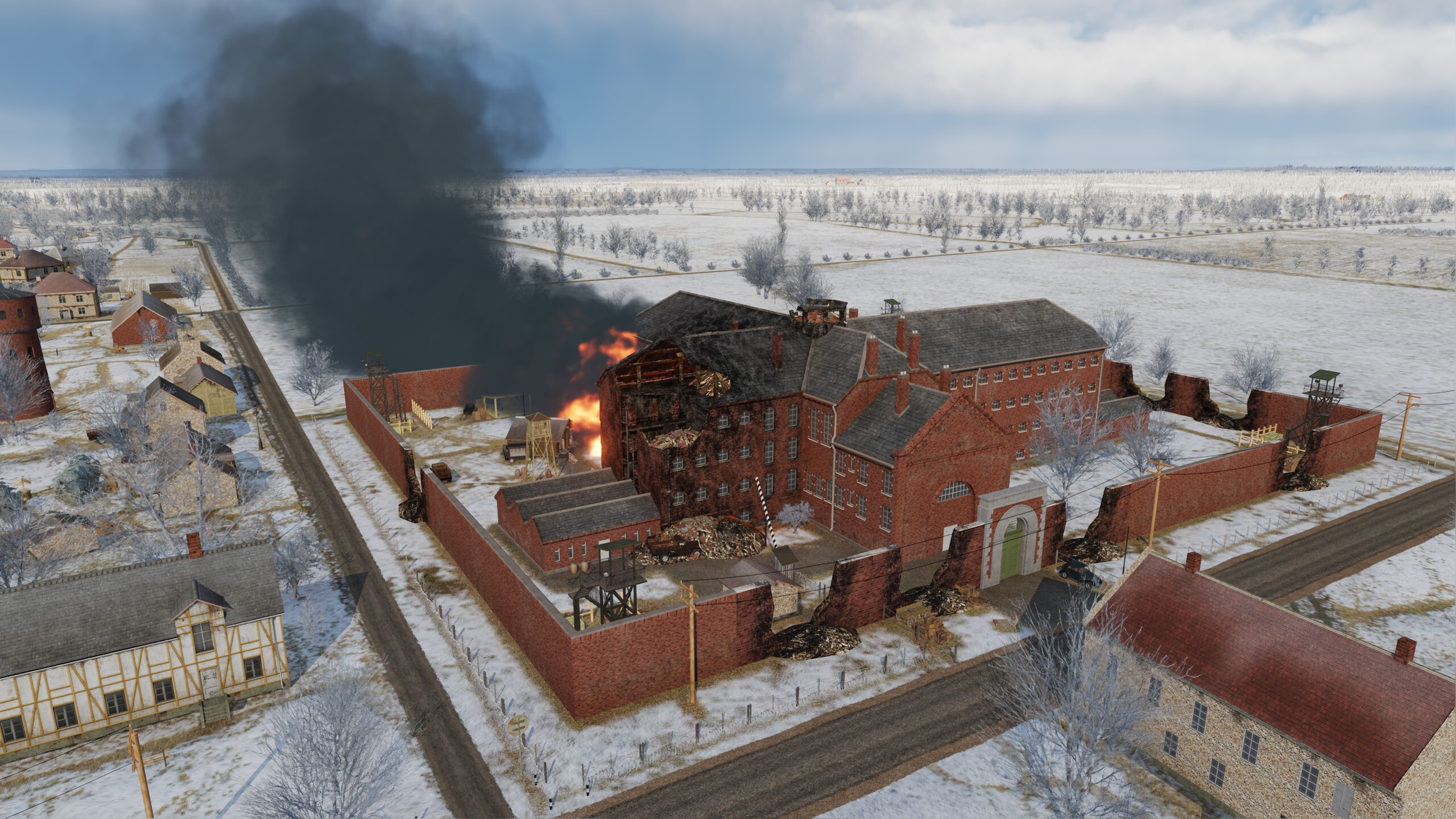
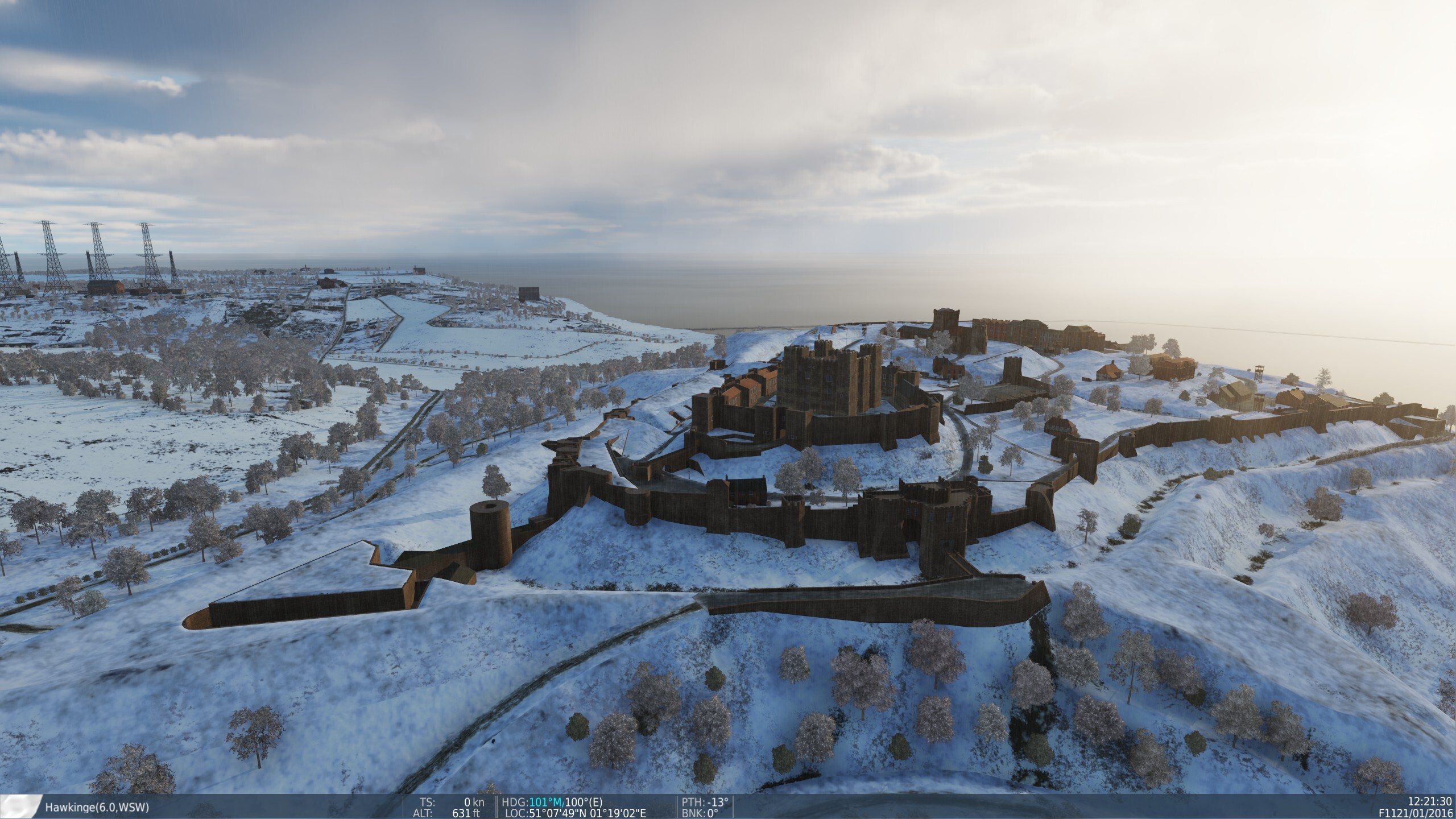
With the addition of Amiens Prison and the area around Dover to Normandy 2, along with increased city detail elsewhere, it leaves me feeling dim about The Channel. It's almost beating it at its own game. With the same (or even more) airfields; more detailed cities, even in the "low detailed area"; and having all of this along with the entire rest of the region, including Paris and London; it increasingly feels like Normandy 2 is a better Channel map than The Channel. (First and third picture are Normandy 2, second and fourth are The Channel)

-
Agree with this, but not via AI. Voice actors are a welcome part of any game, and even right now there are different voice actors for different countries in-game for a change of pace.
- 1 reply
-
- 1
-
-
I have a pal who was under the mistaken assumption the F-5 had a modern digital radar due to how brick-like the radar clutter appears in-game, agree that we should have a proper radar remodel.
-
Illumination flares all the way for historical accuracy! Love doing FAC work in A-10s or F-4s.
-
When using bombs in the Corsair with Mk 244 Mod 1 and M116 fuzes, setting the cockpit switch to "nose/tail" will result in dud drops. Neither fuze activates, and the bomb fails to explode and despawns as if it were a dud. Unsure of the effects with other settings. Furthermore, with the "tail" setting selected, bombs with only a nose fuze will detonate. When using the standard fuzes when first loading the bomb, either fuze selection works.
-
From the manual, the presets can be set to the traffic frequency of an airfield (e.g. 121MHz at Rene Mouawad). This currently works in game. For the carrier, setting one of the ARR-2 presets to the carrier frequency in the mission editor works fine, and gives the "NAV" name and bearing. I've found setting the 190KHz doesn't work according to the manual- with the Essex carrier in the mission on Marianas WW2 for example, 190 gives "AGA" for Agana airfield.
-
Yep! They're pretty neat, from my experience. The controller has a radar which can tell exactly where you are in relation to the ideal glideslope and centerline, and gives you steering and descent commands to land. They're required to speak every so often, so there's constant communication. "Turn left 5 degrees, on glidepath. On course, on glidepath. Going left of course, on glidepath. Left of course, on glidepath. On course, on glidepath. On course, above glidepath. One mile to touchdown," so on and so forth. It also requires no special equipment on the landing aircraft, which is nice.
-
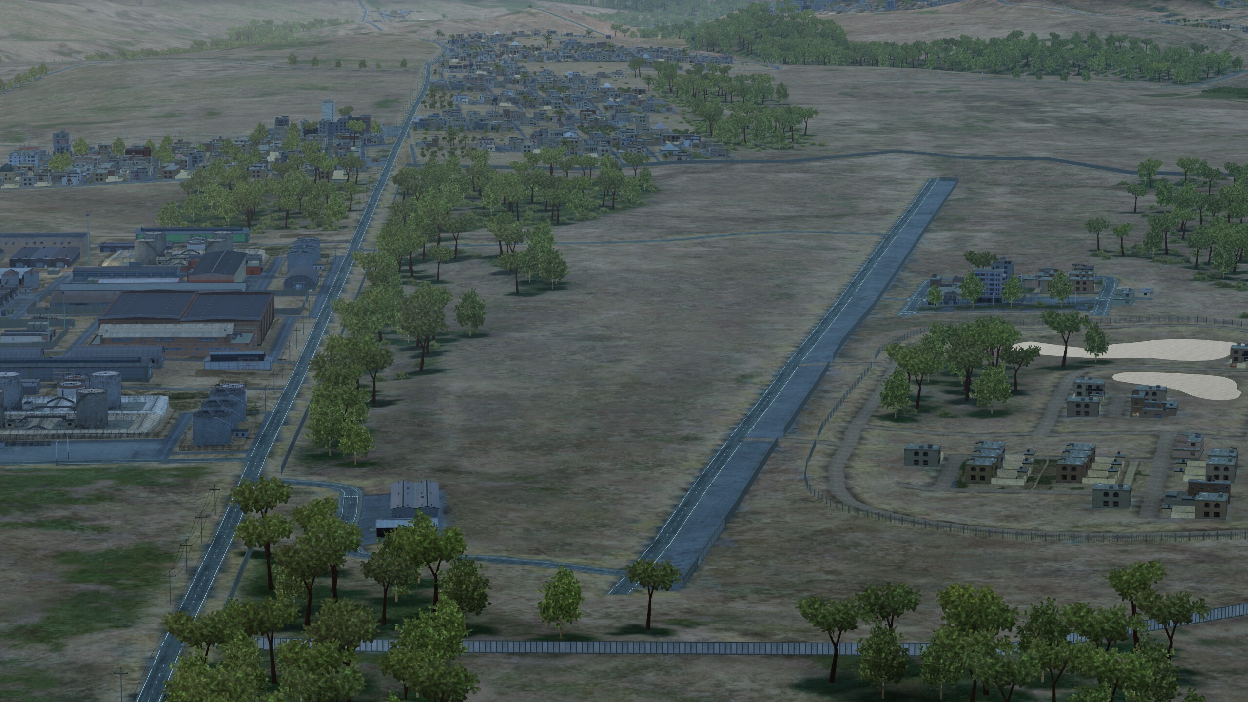
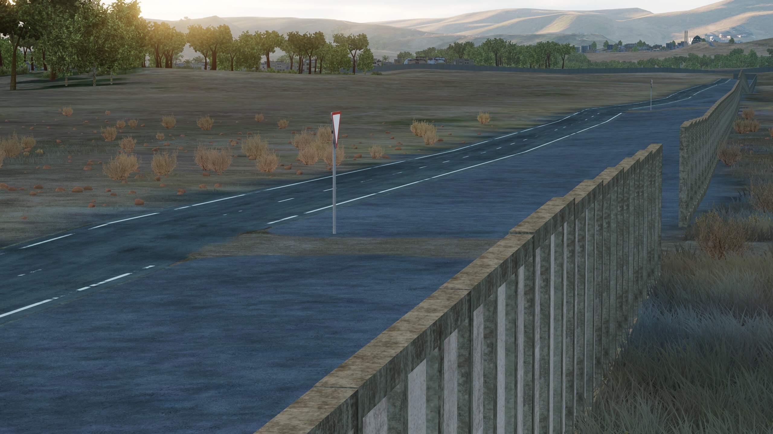
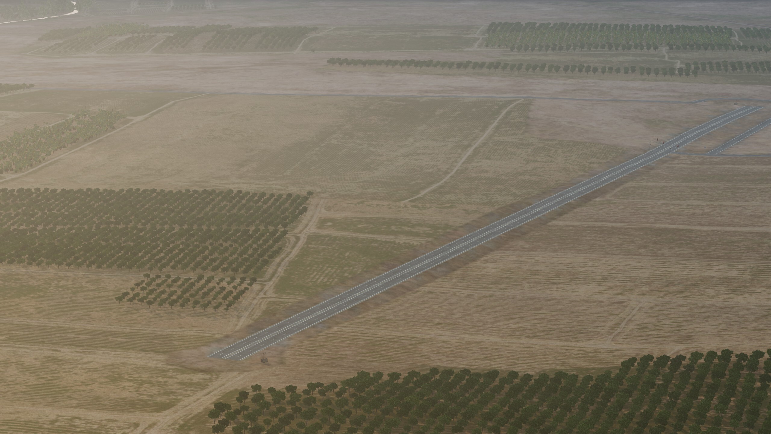
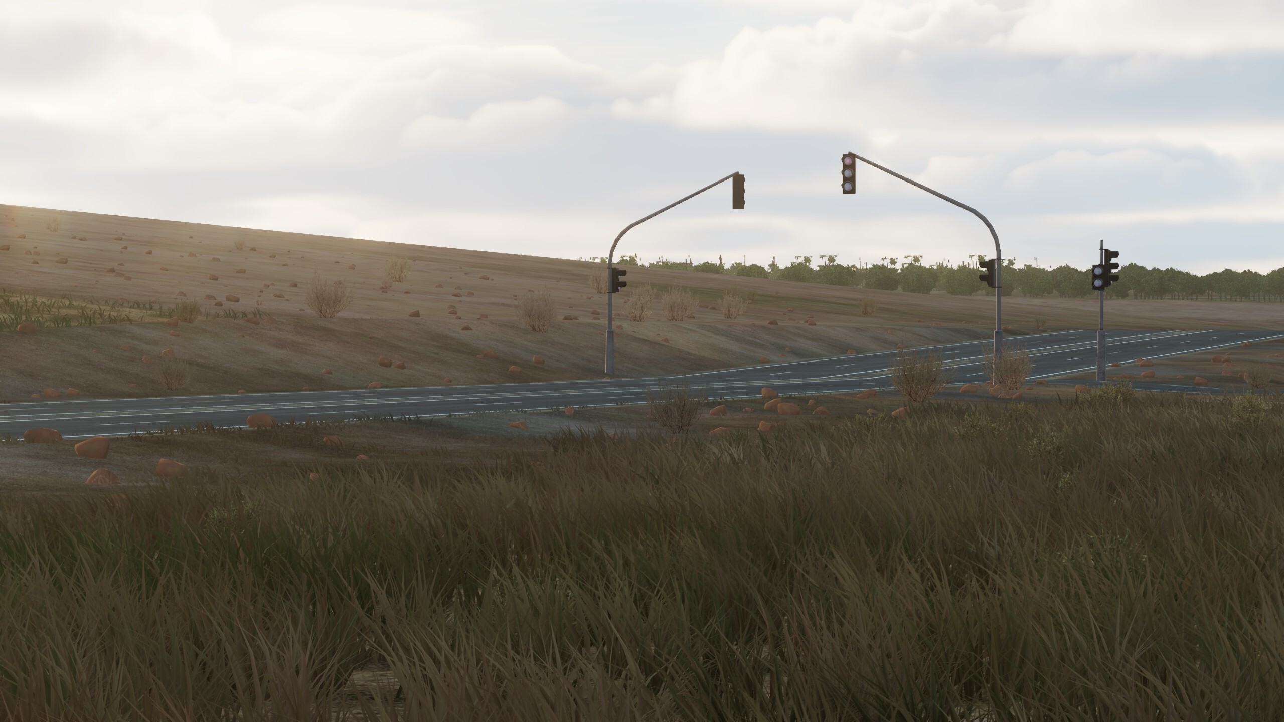
There are three levels of airfields in Syria- Major airfields, like Hama, Akrotiri, etc. Listed as an airfield on the F10 map and not in-game, for example Idlib South, by Taftanaz. No problem with these being left out of the map, there are hundreds of them. And finally, listed on the F10 map as a minor airfield and somewhat portrayed in-game, but not as fully usable or built airfields. This includes areas such as Al-Muhaddad, west of Tabqa, or Sahl as-Sahra, which is northwest of Mezzeh. They are depicted in-game with simple road textures, but have strong dips and hills in the road, or inaccurate road accessories like stoplights, which make landing and taking off difficult. Adding in these smaller airports makes the game world richer and offers fun and interesting challenges for small aircraft, similar to the already in-game Tal Siman airstrip. These are very unnecessary for normal gameplay, and I have no illusion that they will ever be added in-game, but a pal can dream, no?null
-
- 3
-
-
That's awesome, thanks for the quick fix!
-
This is a game changer! Wow, I never even noticed the link unit option
-
The Atlantic Conveyor's forward flight area is present and functioning, but the second, rear flight deck on the back of the ship is unavailable for helicopter or aircraft use. If this is intentional, no worries.
-
I'm curious about the F-1M hud symbology
SabreDancer replied to RodentMaster's topic in DCS: Mirage F1
It's worth noting that the F1E introduced a more modern HUD with weapons targeting information as an option, among other features. It just so happens that the Spanish, when buying their specific F1E variant, did not opt into this new HUD and equipped them with the same F1C HUD. The F1M came around in 1997, and was the first Spanish F1 to have a modern HUD. My personal opinion is that it can stand in fine for 70s-80s F1Es HUD-wise, but that's just me. Notably, the ALR-300 RWR is also a 90s upgrade. The BF RWR should be used for any historically accurate Spanish Cold War scenarios. -
My personal hack (if I'm making the mission) is to "fake" a radar beacon by placing a friendly helicopter on the ground at a preset point. When you hit the IFF interrogate button, it lights up the exact aim point to place the cursor!