gabuzomeu
-
Posts
461 -
Joined
-
Last visited
Content Type
Profiles
Forums
Events
Everything posted by gabuzomeu
-
Hello Syone You have to create a new payload ( button bottom left of screen iirc) and right click in plane center position, choose bombs) That's it. Kaboom.
-
Porte-en-Bessin And this is too bad as Port en Bessin harbor at night with the birds flapping wings is fantastic!
-
UH-1H ... doing somthing whrong and i dont know what.
gabuzomeu replied to _schepper_'s topic in DCS: UH-1H
And as trees are.NOT collidable, you can fly through the forest , very low! -
Actually the SeaHarrier has been upgraded to aim120 / radar. http://www.naval-technology.com/projects/fa2-sea-harrier/
-
Hi, This might be linked to chenges explained here : http://https://forums.eagle.ru/showpost.php?p=3097392&postcount=4493
-
Hello, Indeed I tried adding a sepc file for the tanks but it does not work (no error but no visual effect) Anyway, the specular files do not mix with the new dynamic numbering , so I deactivated them on all user made skins...
-
Jammer, i have fixed all my skins, in user files, for dynamic numbers and switching spec files off. Olivier
-
Uploaded a new version, changing the grey to a more blueish version, on the right on the picture.
-
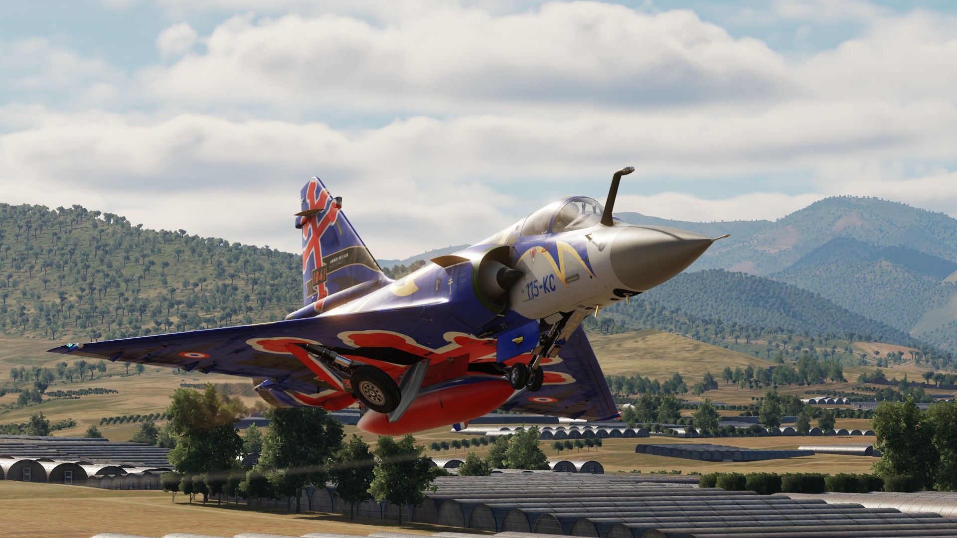
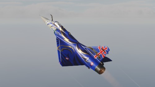
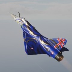
Skin for a 2000D of transformation squadron of 3ème Escadre de Chasse. The singing rooster is used since October 1916 (SPA 48). The blue stars on the tail commemorate the tragic accident during June 2015 Tactical Leadership program, when a F-16 crashed on the flight line. Download here:
-
Skin is available in user files :download here
-
Hello, Baltic. Great news you will be doing the campaigns. More than happy to help with VO and/or testing. To allow for everybody (and not the happy Las Vegas crew) to enjoy your work (which btw adds to the product attractiveness) AND , as importantly, to allow carrier ops at SEA for our beloved MARINES aircraft, both campaign have to be in a free map with sea, ie Caucasus. Best regards
-
Updated version uploaded here Corrected for specular files and dynamic numbering.
-
Uploaded!
-
Soon to be uploaded, a real 2000D skin celebrating the 30 yrs of raid on Ouadi Doum runway. The original skin: The current imitation
-
Thanks to RAZBAM fixing the gear doors mapping error, I have updated the underside so it is more realistic. You can compare with image above in the thread. (I also modified skin to avoid impact of new dynamic numbering/ bort numbers)
-
Indeed and also: Week end News stating that: DCS: NEVADA Test and Training Range (NTTR) Map Update A key part of bringing the NTTR map out of early access is fleshing out the number of airfields, towns, and landmarks. As for the airfields, we are adding several new military and civilian locations to operate from: Tonopah Test and Training Range (TTR) Airfield Pahute Mesa Airstrip Mellan Airstrip Mina Airstrip Tonopah Airport Beatty Airport Lincoln County Airport Mesquite Airport Echo Bay Airport North Las Vegas Airport Henderson Executive Airport Boulder City Municipal Airport Jean Airport Laughlin Airport Not only do these new airfields provide a wealth of new possibilities for single player missions, they also provides much greater distances between airfields (Tonopah to Laughlin for example) for multiplayer matches. Progress on the updated map is going well and we expect to release later in 2016.
-
Nice shots. No mig29 on deck? i thought they replaced su-33?
-
How it works the polar coordinate system in the nadir ?
gabuzomeu replied to edineygomes's topic in SA-342M Gazelle
Hello Actually there is a discussion on french forum'with an ex pilot driver, and it seems you can enter polar coordinates: http://www.checksix-forums.com/viewtopic.php?f=465&t=195015 It says basically that to display the polar coordinates of a segment between two WP you have to selector on BUT -> POL -> N° First WP-> N° second WP-> ENT -> First line displays flsahing theta value ( can be replaced by typing in value ) > Flèche Bas (arrow down) -> Second line displays flashing distance ( rho) ( can be replaced by typing) -> ENT to validate So no need for calculations. Based on actual NADIR manual , can be discussed with devs in more details. -
Hello, According to a veteran "old timer" on french checksix forums, the nadir polar system has other features, much more simple ( ie display distance and heading betwenn two waypoints, modify directly these rho and theta to change the second point, with direct display of coordinates in utm and lat/long.) This is supported by docs Could you have a look? ( or perhaps this is already being developed?) Anyway, polar or not, gazelle is fantastic animal, thanks to Polychop team,
-
Un classique, mais on ne sait jamais: tu avais des mods installés (genre Ranger,..) avant l'update? Si oui, desactive tous les mods et repare DCS , sur un malentendu ça peut marcher.
-
Hello, It has been published and can be found in user files . http://www.digitalcombatsimulator.com/en/files/1872731/
-
Ever since updating to the latest patch my open beta won't run
gabuzomeu replied to TIE's topic in Game Crash
Zip the log files and post them'here, it's full of info to help. -
Ever since updating to the latest patch my open beta won't run
gabuzomeu replied to TIE's topic in Game Crash
Hello, Try deactivating headtracker.dll ( eg rename as headtracker.bak) in dcs/bin Have a look to http://forums.eagle.ru/showthread.php?p=2822643#post2822643 When you have a crash try to attachdcs log files from user/ saved games Good luck! -
Fixed partially the problem by removing the headracker.dll from DCS/bin Still a bug though... Thanks for the support BIGNEWY
-
OK, found the thread :-) I tried with disconnecting one of the mouse: no change at all. Let me know if you need some data from the PC configuration, as seen in attachment with all USB controllers. peripherique = device souris = mouse controleur = controller