sirrah
-
Posts
4729 -
Joined
-
Last visited
Content Type
Profiles
Forums
Events
Everything posted by sirrah
-
Instead of spending time to vent your frustrations out in public (it appears you're the only one experiencing these issues), wouldn't you agree your time could have been spend more useful reaching out directly to ED? (Sorry to vent my frustration now, but all these negative "I don't like DCS" and "that's it, I quit" kinda complain-posts aren't useful to anyone)
-
LCtrl-F11 most certainly does work in VR (Did you make sure you pressed Left control? As RCtrl-F11 doesn't work)
-
Will do! Might take a while though. Need to find time
-

CWG Sandbox - Rotorhead Edition 45 missions in 1
sirrah replied to Don Rudi's topic in DCS: Cold War Germany
"Rotorhead edition" This is music to my ears! Thanks! -
Nice project and sounds like a great way to spend time with your son Small question though.. Such a nice setup and all that effort to recreate a Hornet pit; why not trade in the A-10/F-16 grip for a Hornet grip?
-
I sure will! As others said, very generous. Thank you! (and great to meet another DCS enthusiast )
-
First of all, let me start by saying how grateful I am that we at all have a 1st person pilot body in the Hook. Credits to the Chinook dev team for not putting this all the way at the end of their feature priority list (please pass this on to the A-10C II team ). Currently though, from pilot perspective, the copilot model is extremely static. Are there any future plans (even if at the bottom of the list, which would be totally fine) to further improve the pilot/copilot models and make them a bit more "alive"? A bit more like let's say Heatblur's Phantom and Tomcat and Razbam's F-15 pilot bodies (looking around quite a bit).
- 1 reply
-
- 2
-

-
PM send (I live in Maastricht )
-
That's correct: https://www.janes.com/osint-insights/defence-news/first-newbuild-ch-47f-helo-arrives-in-netherlands RNLAF skin should have been the first skin we got in DCS, after the US ones
-
-
Please delete this post @BIGNEWY
-
Would be awesome if us Hook drivers would be able to use the QAG How 'bout: Bring cargo from A to B, while avoiding enemy air defense by using terrain for cover. Or Insert/evacuate troops in/from a hot battlefield
-
Quite an impressive list of improvements and bug fixes. Very nice to see the new QAG added. Hopefully we also have an option to create a quick cargo transport, or troop insertion missions (I am slightly disappointed however, that the A-10C II pilot body is still not added)
-
Logistics in general in DCS, needs to be vastly extended/improved and get a bigger role, for any transport module to become useful (be it the already released ones, like the Chinook, or the ones in the making, like the Herc). The "recent" cargo additions are a nice step forward, but still lean very heavily on mission creators to include cargo hauling in their missions. Unfortunately, cargo/troop hauling isn't that popular, although so it seems when looking at the available and populated open online servers. I have extremely high hopes for a more "automated" logistics system implemented in the upcoming Dynamic Campaign. Something similar to like what @Dzsekeb did with his Foothold and Pretense missions would be awesome. Where cargo haulers would serve an important role (important enough in MP for other players to defend them from harm) in making sure that for instance fast movers can rearm at airfields and infantry units can be dropped off where they're needed. Before all the above is realized, I don't think "cargo" modules in DCS will become very popular. Sure, lot's of people will buy the modules (myself included), but I expect that only a few diehards will keep flying it, when there's no real purpose flying them. At least this is what I notice when flying online on open servers. Most of the time in all open MP servers, there's less than a hand full of morons (like myself ) flying around purposely in cargo haulers, doing some (mostly useless) CTLD stuff. In SP mode, one is either very dependant on proper mission content from other users, or one loses half of their DCS playtime creating a mission and then flying that mission without any "surprises". TL;DR: We need the DCS DC with a proper logistics system ... just my 2 cents of course ...
-
Well, first I need portaloo's for my Chinook, but after that, sure.. I'd definitely purchase a full fidelity MV-22B
-
Well, doing (especially practicing) formation flying with AI is currently only realistically possible with straight flying AI (or giving them almost straight through waypoints). The OP is asking to practice formation landings, which (let's be honest) is just not possible with current erratic AI behavior.
-
Sorry if shared before (Pretty interesting stuff for DCS mission makers) Make sure to checkout this guys channel. Nice and raw footage without cheesy music.
-
Military and Aviation News Thread (NO DISCUSSION)
sirrah replied to topol-m's topic in Military and Aviation
Removed Sorry, wrong thread -
"for now I'll be one of you people" Really? There either is a language barrier (on my side), or it's because I've only been active on this forum sice 2011 and therefor don't know what you did for DCS, but to me, your post appears kinda supercilious. But it's probably just me, not understanding the point of your post Well, at least, welcome back
-
If you block the sixpack with static objects, the aircraft will spawn elsewhere
-
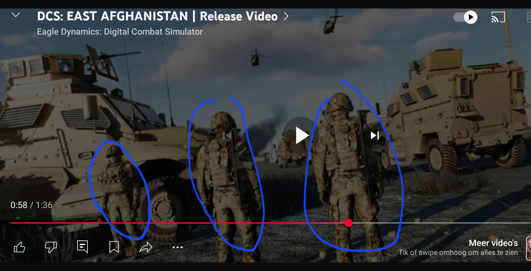
I'm sure ED will include this in their infantry overhaul (and not limited to machine gunners). Just in case you missed it: ED has been working on improved infantry units for quite some time now and teased them in several videos, like here:

-
Oh yeah, I forgot about that one. Epic!
-
You pretty much summarized all Grim Reapers videos there. Noice
-
One of my friends just enthusiastically posted a mediocre video of MSFS in our WhatsApp group... Obviously, I now need to blow him (the whole group) away with a fantastic DCS video. But I can only flabbergast them once. So, what DCS showcase video would you suggest? My friends are all quite technical-minded (most of 'em are my ex-colleagues when we worked as maintenance crew on the RNLAF F-16's), so I'm looking for a video with some nice close-ups of fluttering wings/wing flex, gear/flap retractions, close-up cockpit dials footage, etc I was thinking about this awesome one from Heatblur, with some very nice close-ups, but it obviously lacks other aircraft & helo's.
-
Oh c'mon! You know perfectly well that the OP is talking about a VR pendant