grim_reaper68
-
Posts
791 -
Joined
-
Last visited
Content Type
Profiles
Forums
Events
Everything posted by grim_reaper68
-

BAP100 BAT120 should only be carried on pylon 4
grim_reaper68 replied to grim_reaper68's topic in Bugs and Problems
Despite the fact the the Sirpa Air is the official french air force information service, and as far as can remember, I never saw an F1C or C200 with a grey/green camo. But maybe it has exist. -
DCS won't start with the mod installed.... dcs.log Edit I'm looking for which other mod cause the crash. Edit 2: don't ask me why, but after removing all mods in the aircraft folder, starting DCS with only the clem, it works, and I could put all removed Mods and it works too But now I have a problem with the Etendard, brake axis won't work, and rudder action makes the Etendard turning like crazy. I will shoot a video so you can see.
-
Hi I just go through the F14 training mission, and at one point, they told about the AIM54 training missions, but they are no training mission about the AIM54 Phoenix... I would be glad to have some mission (Pilot and RIO) about the AIM54.
-
No problem, take your time, I think you're working the phase 2, so this RSBN channel it's not a big issue at all Thanks a lot for this great map.
-
In fact at full zoom everything is OK.
-
Just checked it, horrible as well... Same with MSAA 4X.
-
user resolved training mission 28 Slam ER goes wrong
grim_reaper68 replied to grim_reaper68's topic in Bugs and Problems
Don't ask me why, as I replayed the mission yesterday evening, everything goes fine... twice -
user resolved training mission 28 Slam ER goes wrong
grim_reaper68 posted a topic in Bugs and Problems
Hi I just tested the Slam ER training mission, but nonne of the slam ER goes on target... I checked twice the coordinates I've entered. Maybe is the mission broken? -
Hi just tested it, everything seems to be fine. I also noticed that the ghosting as almost disappeared in TAA despite flying over Mach 1. I uninstalled the older version before installing the new one.
-
I will take a look ASAP Edit: I just tested the same livery as you, and have no problem. Maybe do you have some mod that interfere with it? I remember having this issue wit the mod from damientrix where the Jaguar had the barax too and it caused this kind of bug. here a screen from DCS null

-
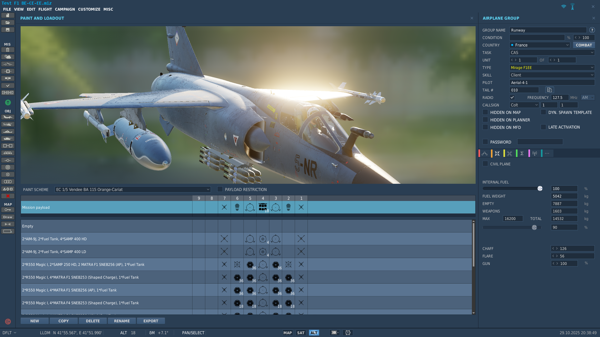
The mod that I've made has the phimat for the CE/EE/BE and CR/CT version as IRL. Or do want it for other version?
-
reported The navigation instruments go crazy and eventually (CTD)
grim_reaper68 replied to SspectrumM's topic in Bugs and Problems
F1-EE for me -
Cold and dark, cold weather : Alarm C.AERO
grim_reaper68 replied to gillouf1's topic in Bugs and Problems
In fact, as the temperature needle begins to move, the C AERO disappeared. -
reported The navigation instruments go crazy and eventually (CTD)
grim_reaper68 replied to SspectrumM's topic in Bugs and Problems
tested on Caucasus on my side -
Free Mirage F1 Campaign : Ad Pacem 1985
grim_reaper68 replied to dggoofy's topic in Missions and Campaigns
it seems that there is a bug on the Mirage F1 while climbing over 29000ft causing DCS to crash- 47 replies
-
- 2
-

-
- free
- mirage f1ee
- (and 1 more)
-
Cold and dark, cold weather : Alarm C.AERO
grim_reaper68 replied to gillouf1's topic in Bugs and Problems
Hi just tested it and could reproduce it. But I had the EMP and DIR alarms too. C AERO doesn't have to do with Pitot or static probe (ANEMO alarm), but with the ADC (Air Data Computer). Here the part of the AERGES doc Failure lights - ANEMO (PITOT) amber failure light: Indicates a failure of the left total probe or static port heating, or that the probe heater (ANEMO) switch is off. The incidence probe and the right total probe do not have heating failure indication. - C.AERO (ADC) amber failure light: o Indicates a failure of the air data computer. o The autopilot disengages or cannot be engaged. o The flying aid gains get frozen, in particular: The sock-cones and the ARTHUR remain in the last position The following may be lost or operate untimely: · A/B oversboost · Overspeed · Limit warning light · Slaved altimeter · Combat high-lift devices But in my case, after starting the engine, C AERO disappeared after 1 or 2 minutes and I could reset the EMP and DIR. So in my mind, it could comes from a too cold equipment. Here my track, where you can see the C AERO light extinguish . C.AERO.Grim.trk Just made a second test in the same conditions as you -10°C, and worked fine. C.AERO.Grim-10.trk -
reported The navigation instruments go crazy and eventually (CTD)
grim_reaper68 replied to SspectrumM's topic in Bugs and Problems
same here as I was climbing. While reaching 29000ft, the IDN goes crazy and I got a freeze, and had to close DCS manually. -
Hi If I believe the informations here https://www.mil-airfields.de/de-rpt/ddr-funkfeuer-rsbn-de.htm Ort Kanal Kennung Position Allstedt 38 Altenburg 07 PN N505859 E0123023 Altes Lager 24 Arnstadt 19 Bad Düben Lehrflugplatz 58 ST Brand 05 Brandis 06 Briest (Brandenburg) 36, auch 9 UT N522611 E0122737 Damgarten 32, auch 33 MA N541556 E0122557 Dresden-Klotzsche 39 FO N510758 E0134557 Drewitz 13 RD N515332 E0143158 Falkenberg 34 BL N513300 E0131327 Finow 11 Finsterwalde 10 Gardelegen 36 Groß Molzahn 27 Großenhain 30 Holzdorf 09, auch 33 HX N514555 E0131003 Köthen 35 Laage 40, auch 01 LR N535452 E0121624 Lärz Flugplatz 37 Mahlwinkel 06 Marxwalde (Neuhardenberg) 31 BU N523637 E0141449 Merseburg 23 DK N512147 E0115742 Parchim 20 Peenemünde 16 NE N540932 E0134530 Preschen 33 KL N513933 E0143740 Schwerin 12 Sperenberg 28 Templin 15 Welzow 18 Werneuchen 04 Wittstock 22 GJ N531222 E0123151 Zerbst 17 KJ N520007 E0120848 Briest had the correct RSBN. Why had he changed?
-
Hi I just noticed, this light that shouldn't be there.
-
- 1
-

-
There is a post about a 10° flip of the runway heading on this map.
-
Shold the wheels feel so "slippery/greasy" on landing?
grim_reaper68 replied to RyanR's topic in DCS: Mirage F1
In fact IRL the brake chute was almost never used. I worked for 10 month on the BA132 Colmar-Meyenheim, in the RC 2/30 Normandie-Niémen, and saw only one time a pilot using the brake chute. -
Shold the wheels feel so "slippery/greasy" on landing?
grim_reaper68 replied to RyanR's topic in DCS: Mirage F1
After testing the F1 landing for a long time, I noticed that the best way to slow it down without drifting like Fast and Furious, is to be gentle with the brakes at high speed. In fact, if you slam the brake after landing, it is hard to control the trajectory. But pressing them gradually will help keep the F1 straight ahead. Not sure the F1 brake system in DCS is 100% accurate, as I could spend some time in the Mirage F1-CT in 1998, and made some landings, and I can't remember that the F1 was so weird on braking. -
I noticed that the bug only appears in TAA, not in MSAA...
-
As told, just let them work on the future F1M model, as there are a lot of new systems to be created.I prefer to have this silence, than incredible announcements with disappointments compared to expectations. I can understand that some of you are eargerly await news, but IMHO, EARGES will release some news when the F1M will be next to release instead of announciating freaking news and releasing an "early acces" module. I think they deserve more encouragement than questions about the time of release of the F1M. Personnel message to the EARGES dev team: Just keep your time to work on the F1M development and bring us an alsmost perfect module as you have done it yet. As an amateur creator in question of development, I'm on your side as it could be hard an difficult to create systems almost from zero. And to make them work fine in DCS. All my thoughts and encouragements to you! And in advance, thanks for all the work done and the future work of this great module.