Minsky
-
Posts
1692 -
Joined
-
Last visited
-
Days Won
2
Content Type
Profiles
Forums
Events
Everything posted by Minsky
-
We've been listening to this song for months.
-

not planned Easy/Medium/Hard/Realistic refueling options.
Minsky replied to PhantomHans's topic in DCS Core Wish List
That's what you usually get for asking to make a simulation game more accessible to newbies, so they could skip the suffering the old-timers had to endure -
A typical Harrier mission lasted about five hours when operating from the NAG. An hour more than that for the Hornets. And up to 8.5 hours for the CAP-tasked Tomcats. Anything longer was an exception.
-
not planned Easy/Medium/Hard/Realistic refueling options.
Minsky replied to PhantomHans's topic in DCS Core Wish List
I don't think we need multiple difficulty settings. But having something akin to the 'easy comms' toggle would help not only players, but also content creators, who must rely on various walkarounds to make their AAR missions more accessible. The idea is simple. By ticking a box in either the DCS settings or in the mission editor, and then positioning the aircraft inside a fairly large box behind the tanker, the player will automatically begin receiving fuel. Contacting the tanker or extending the probe is not required. Although the player is free to try plugging in and improve their skills while waiting for refueling to complete.
-
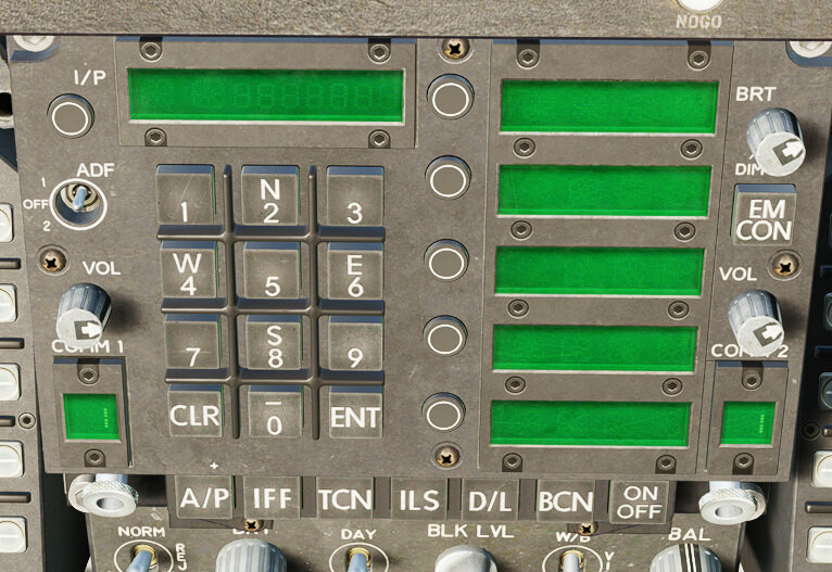
F/A-18C HORNET pit V1.8 & F/A-18C HORNET cleanpit
Minsky replied to Bummer's topic in Utility/Program Mods for DCS World
Hi! Finally upgraded from the 1.61 (which I loved) to the latest version, and immediately noticed that the UFC looks... odd. The buttons no longer have bezel, and the font seems out of place. Have you used some obscure (late / foreign) Hornet variant as a reference, or this is just an artistic choice?
-
-
3rd parties could've set the ship's dimensions smaller than the actual model. Just to avoid this particular problem.
- 9 replies
-
- 2
-

-

-
- description.lua
- ships
- (and 3 more)
-
I believe that label was added after or during the discussion, not before it started. I'm not worried, and there's really no need to calm me down or persuade how marvelous this map is going to be without some silly ocean. It was a simple request. It got denied. I moved on.
-
@durka-durka @zerO_crash You don't see the whole picture. No requests were made by me in this thread. I did so in the appropriate place. But, instead of answering us in that topic, the mods decided to deny our request here. Citing concerns and assumptions - not technical facts - as the reason for denial. Hence my reaction. A couple messages later this discussion has peacefully ended over there. Despite hearing no sound technical arguments against our request, I went along with ED's decision and stopped bugging them about the idea. And then Kharrn showed up and really rubbed me the wrong way with his mentoring tone.
-
How about I continue requesting whatever features I want and repeating my questions until they get answered? If you are so irritated by this, just block me. Instead of acting all old and wise and schooling me around. Thanks.
-
*Allegedly I'm afraid this fictional pit stop won't cut it for people who wish to simulate the real ops.
-
It all simmers down to whether this "flat slab" will have a noticeable impact on performance and budget or not. Did the team actually run the tests, or it's all concerns and assumptions? Simple logic says that we wouldn't have these extra areas on almost every map in DCS if they were expensive, time consuming and performance heavy. Instead of hundreds of miles covered with mesh and satellite imagery nobody ever begged for, it would have been 50 miles or less, merely to fade out the playable area. Anyway. It's clear that you guys have your mind set, and my arguments won't change much. Maybe one day we'll see a (fairly priced) Afghanistan 2.0 spanning Pakistan and the Arabian Sea.
-
Concern =/= proven impact. We don't ask for a low detail terrain. We will settle for no details at all. Flat surface with a basic shoreline will do. We merely want a patch of ocean to place a carrier and cosplay the OEF. Do you remember the early days of the Syria map, with all its performance woes? So how comes the heaviest map in DCS has this 400 (four hundred) miles beyond the detailed area? If all this empty space is such a burden to DCS engine, then why didn't they start optimizing the map by cutting it?
- 555 replies
-
- 10
-
-
Have you even read the wishlist thread? How a nearly flat terrain with no objects is gonna impact performance? IIRC the physical size is not the limiting factor for DCS maps. It's the number of assets.
-
2008-2010 for the airbases:
-
correct as is Bug: Missing Radio Freqs for Bandar-e-Jask
Minsky replied to TEMPEST.114's topic in Bugs and Problems
"Ye olde LOMAC way" combined with laziness? It's easier for the map maker to assign only known/published frequencies and let the game handle the rest. Often at the expense of the content creators -
correct as is Bug: Missing Radio Freqs for Bandar-e-Jask
Minsky replied to TEMPEST.114's topic in Bugs and Problems
Only ED and their partners know for certain. To my understanding, the game first goes through the lua file and reserves all frequencies found there. Then it sorts all airfields based on their internal IDs and goes through this list, incrementally assigning frequencies left available. -
correct as is Bug: Missing Radio Freqs for Bandar-e-Jask
Minsky replied to TEMPEST.114's topic in Bugs and Problems
Radio.lua is reliable, just not comprehensive. Beacon.lua is fine. It's the radio.lua that's always incomplete. Frequencies you see in the ME should always work. When they don't it's usually due to some unrelated DCS bug. Not sure if it's possible to obtain the frequencies via scripting, I never tried. -
correct as is Bug: Missing Radio Freqs for Bandar-e-Jask
Minsky replied to TEMPEST.114's topic in Bugs and Problems
Frequencies not declared in LUA are automatically assigned by DCS based on a few simple rules. -
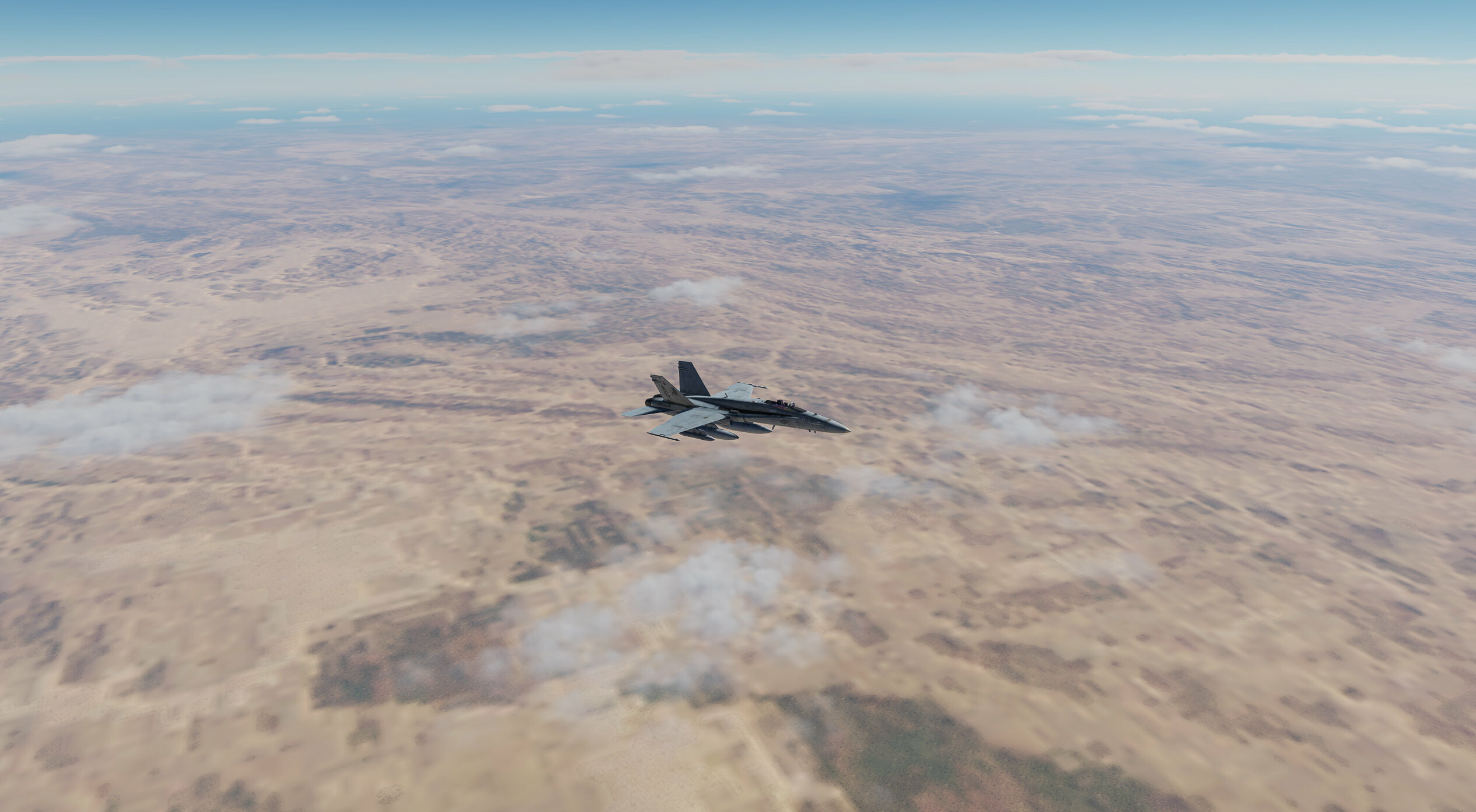
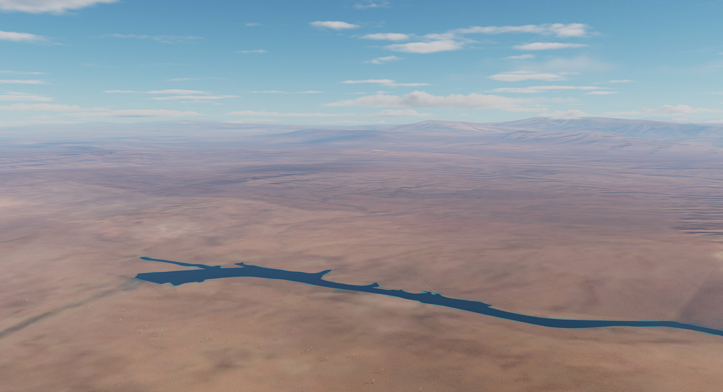
A picture worth thousand words, so here's what I mean by "crude representation": These are Iraq and Pakistan on the PG map. Hundreds of miles beyond the detailed area of that map. Doubt a lot of manual labor went into this. Probably just some leftovers from the data ED acquired for the region. With Afghanistan, I would settle for even less than that.
-
+1 Should be technically doable, since the length of the expanded map will be about 900 miles. That's only marginally bigger than the South Atlantic. I can totally live with a very, very crude representation of that area. Like, "the western part of the PG map" level crude. A basic shoreline, some water bodies, rudimentary mesh and a generic sand texture will suffice. Doesn't seem too hard to do, won't impact the performance at all, guaranteed to make a couple folks very happy
-
The title should be "DCS: Afgha" since half of the country is missing. Jokes aside, from the newsletter it's unclear whether the eastern part will be added at some point after the Early Access, or the western half is all we get.
- 292 replies
-
- 14
-
-
-
@QuiGon @Mobius_11804 From the first page of this thread: