shu77
-
Posts
1689 -
Joined
-
Last visited
-
Days Won
6
Content Type
Profiles
Forums
Events
Everything posted by shu77
-
Its on my list, unfortunately the released fields don't correspond to the discussions wed had so the document will need a significant rework.
-
I had some very early Caucasus charts but havent bothered with them specifically as ED provided charts for each with the maps.
-
Every time they release an update any non hard coded frequency is randomly regenerated. Its been noted several times and honestly Ive basically given up trying to redo these documents to accommodate,
-
I've been flying the L-39 for a while and quietly enjoying it, but Ive noticed a number of problems that have been reported but not acknowledged including the reflections and cockpit dimensions in VR and the 3D artifacts in the L-39ZA when the control column is enabled. I watch the patches month after month and havent seen anything for the L-39, is this module abandoned or is it lower priority? in which case what is the priority for any changes to the module?
-
Hey ED, Thank you very much for adding the other 9 islands in the chain, I really appreciate the effort to flesh out what is an awesome map. That said Im not adding a chart for Pagan until I get a working volcano!! Thank you all the same all of you doing the not fun tasks, I really think this completes the map.
- 1 reply
-
- 1
-

-

Aerodrome Data and Frequencies - Updated 23 September 2025
shu77 replied to Minsky's topic in General Tutorials
neither have had the kneeboard folder implemented yet, as mentioned above its been reported and its quite annoying. The workarounds are to post it in the airtcraft folder or embed in a mission file. -
The thrustmaster software actually gives you some good options for controlling the lights and numbers, very handy if you ever intend to get a second set.
-
This is the wrong thread, please start one in the marianas section, bearing in mind there are no helipads on the map presently, so the above is wishlist, rather than an easter egg hunt, which was the original purpose of this topic.
-
You can auto launch Track IR and the TARGET script. Track IR has a start on Boot option and the Target script just needs to be popped into the windows start up menu in a short cut like here: https://simhq.com/forum/ubbthreads.php/topics/4507180/load-a-target-script-on-windows-startup https://support.microsoft.com/en-us/windows/add-an-app-to-run-automatically-at-startup-in-windows-10-150da165-dcd9-7230-517b-cf3c295d89dd Only issue I have doing this is that FS2020 refuses to recognise the virtual device created by the target profile so I have to disable the profile if I'm taking something non military out for a fly. worth googling these things as both are fairly easy to find.
-
We Want To Hear Your Ideas For A New Map In DCS!
shu77 replied to danielzambaux's topic in DLC Map Wish List
Sorry yes you are right it was a general statement about dev priorities rather than something for a third party. If we are talking third party specific, while its kinda more brown I would rather see the rest of turkey, or the missing part of Iraq and PG so that when we get the world engine we have a contiguous flight between the existing maps to give a proper strategic theatre -
We Want To Hear Your Ideas For A New Map In DCS!
shu77 replied to danielzambaux's topic in DLC Map Wish List
I do feel a bit like any other map we do now with the current tech will be a variation of the green or brown theme, so if it was up to me I would suggest 1. Vulkan optimisation to get proper use off the cores without so much bandwidth dependent throttling 2. Spherical projection to get proper line of site and lead towards 3. World map where scenerys integrate seemlessly. I think once those are done there would be enough change to the engine that new maps would be able to add variety again -
I did a set back when Mozdok was new and Nevada had 2 airfields, the header indicates May 2011, though maybe a bit later, I removed it from distribution years ago. I stopped working on it when ED published the charts for the map that come in the game file but have all the hard parts needed to rebuild them fairly easily. I can't speak to whether the F-10 data for the Caucasus is accurate, but can note that the data in maps like Syria seems to come from an external text file rather than being derived from the sim data directly which means its prone to inaccuracy.
-
Budget VR on modest rig! This isn't supposed to work!!!!
shu77 replied to Opal 4-1's topic in Virtual Reality
I would strongly recommend having a go at overclocking your chip, DCS is so single core bandwidth dependent I was having a lousy time until I moved my chip up to 5.0Ghz, Since then I have no real issues beyond the lack of VRAM on my 3080. I could probably squeeze it up to 5.1 or 5.2, but it works happily as is and doesnt seem to overheat. -
As best I can tell looking at google maps street view these stretches are a dual carriage way with a generous shoulder on each side, and no light poles. In game its a dual carriage way but between the Light poles and the bollards on either side my little L-39 felt squashed in. I may have gotten off but I dont think I could have landed. The other thing I noticed (and not being a mission editor I hadnt considered trying to remove scenery) was that the civilian traffic damages the aircraft so without any way to selectively stop the cars its an all or nothing situation. Not sure if anyone has any ideas on tackling that.
-
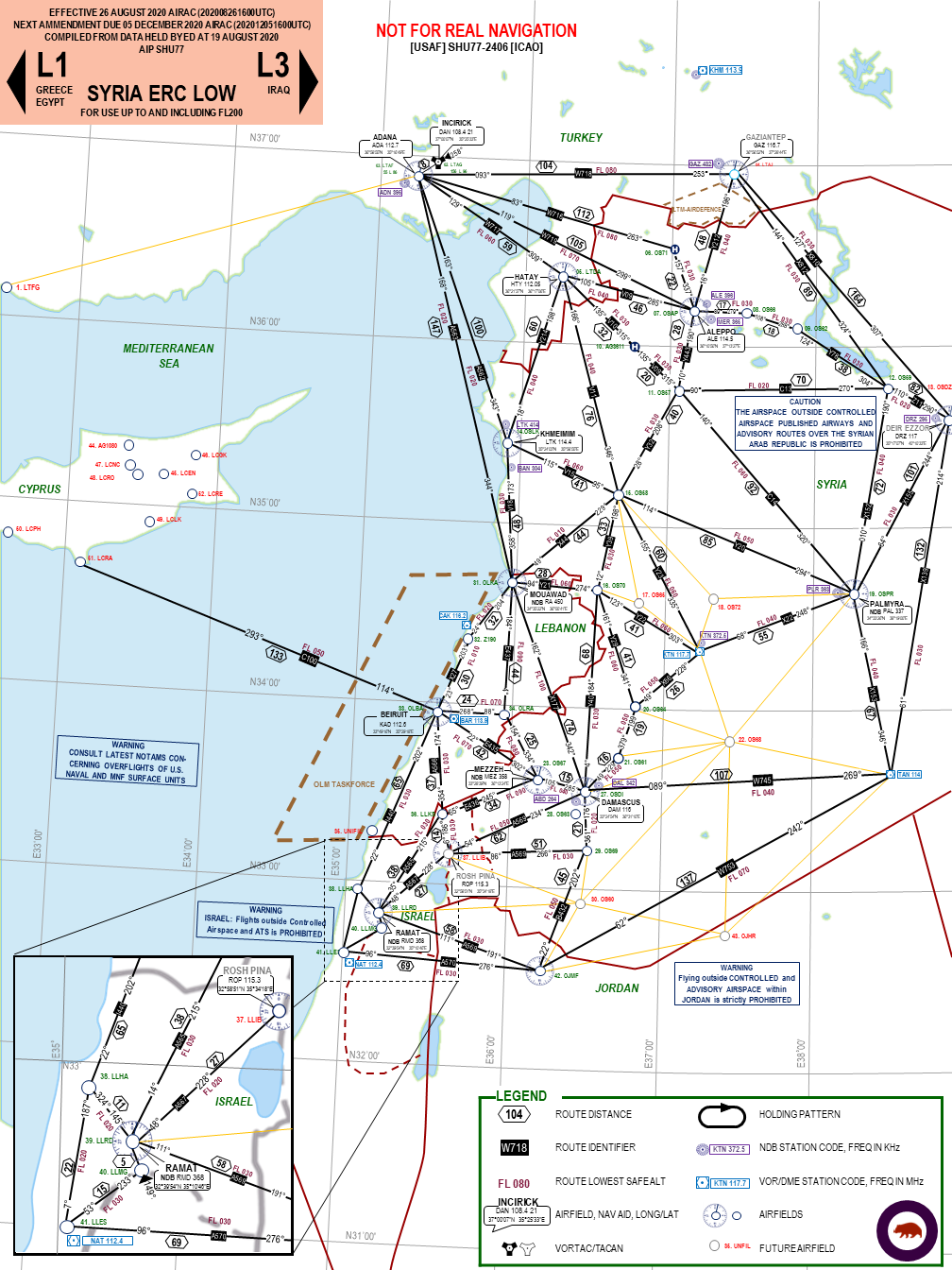
reported earlier Kneeboard folder for Syria map PLS
shu77 replied to 303_Vins's topic in DCS: Syria Map
Would be nice to at least have the option to load kneeboard to this map and Marianas, whether they are airfield diagrams or more generic. -
While its not game breaking it would be nice to turn the stick off. its hard to arm the game out of VR with it on.
-
I have DCS on both my laptop and PC and I'm seeing this on both when the stick isnt visible. Only occurs on the ZA, doesnt seem to affect the C.
-
To be fair this is consistent across the map, nothing is badged as an Airbase or an international or regional airport for that matter.
-
I like what youre selling, I'd love to see the game offering this type of detail.
-
Issue - L-39 Airspeed in Knots when avionics language set to english.
shu77 replied to v81's topic in DCS: L-39 Albatros
TBH I prefer it in knots, every aircraft I've ever flown both simulated and in real life has been in knots so it makes it easier to keep things consistent. I was just surprised there was no reference material for flying the aircraft in this config and I had to draw my own up.. -
I've stopped short of badging it Russian federation in my diagrams, but apparently one of the runways has been expanded. Theres also a bunch of interesting reading about it being the first place to be attacked by rogue micro UAV's. I'm still not 100% clear which runway is civil and which one is military though as it does seem the russian military controlled the whole area. .
-
Its there now, called Bassell Al Assad which is the civil side of the field.
-
While It would be great to have them completely modelled, is there any chance to have the barriers removed from the freeway sections of the 3 Freeway runways on Cyprus? I tried launching from the A1 strip last night, and the centre barrier makes it too tight to get an aircraft up or down. https://en.wikipedia.org/wiki/Highway_strip
-
If you read the FAQ thread you will find they have been discussed as potentially being added in the future.
-
reported earlier Kneeboard folder for Syria map PLS
shu77 replied to 303_Vins's topic in DCS: Syria Map
There havent been any official kneeboard maps since Nevada.
