upupandaway
-
Posts
1584 -
Joined
-
Last visited
Content Type
Profiles
Forums
Events
Everything posted by upupandaway
-
Chances are the answer is still the same as it was a couple of days ago. A clear statement , just "yes or no", in relation to the last estimate about the release would be nice though.
-

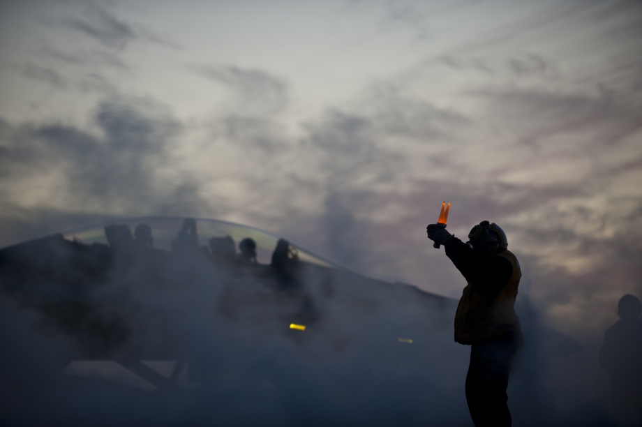
DCS: P-40F Kittyhawk at IWM VE Day Anniversary Air Show
upupandaway replied to Ells228's topic in Community News
The Duxford reveals went completely under my radar. Bring on some more naval aviation with the Hawker Sea Fury! Very beutiful models. -
Yup, me like. Thanks for the hint. Crisp, no visible tiling... Looks very refined and I´m actually a little impressed. Med and Low don´t look bad at all at some altitude. The difference is likely most noticeable when you are close to the ground, but the improved lighting seems to mitigate the lack detail to some degree.
-
Eagle Dynamics FM discussion (WWII Aircraft)
upupandaway replied to Yo-Yo's topic in Western Europe 1944-1945
It´s an interesting experience. The 109 is a lot of fun to fly and learn, but the confused and cramped cockpit layout in combination with the massive canopy frame make it incredibly hard to manage during an engagement. Take your eyes off the target a little too long to find and check something -> you lose - at least when you are used to the 190D9-cockpit or better... Nevertheless it´s starting to grow on me. -
The way I understand it, it came to be like this because the outer boundaries of the map are rendered with much less detail, while to focus of the map still lies on the highly detailed Vegas/NTTR-region. The expanded map surface just won´t have sharp EDGEs where you abruptly "fall off" the the map (similar to the area around Tblisi on the current map, for example). Perhaps this means that we will have elevation data for larger parts of the Grand Canyon to fly through, but it won´t be as pretty (initially). Who knows how EDGE will work with regard to the merging of adjoining, pre-existing map areas in the future...
-
That would be absolutely nice.
-
One leaf at a time, I would certainly hope. Many flat boxes ;)
-
Yeah, and that´s always interesting to see, at least to me. I would likely prefer this over my current job.
-
I was thinking the same thing, but the prospect of adjusting hundreds of miles of coastline to match the ground texture might have an adverse effect (if I understand the video correctly).
-
Me! Me! Me! :D But seriously - thanks for showing off some slightly "under-the-hood" stuff. I only wish I´d speak Russian. Are those really tutorials for future modders or professional 3rd parties? (I guess I kinda know the answer already) I noticed the Hakoya island on the Norwegian coast is being showcased in one of the videos - could there be a connection to the vague announcement by Cobra/Leatherneck of an "oceany" and "cold" map in production for DCSW2?
-
Yes, definitely. DCS would never complete without it.
-
Which version number was CA introduced with? I remember the MP part being a little choppy at times, if you were lucky... :) But that´s beside the point...
-
Yeah, I noticed that, too. That in combination with the improvements to visibility does really give you a different sense of what´s going on around you. Throw in a nice VR headset and you´re set up for life. I´d love to see some dark smoke columns from wreckage at some point. And the clouds... For what can be achieved within the technical restrictions of this genre, I personally think the new visual quality of DCS can be compared to the sense ARMA 3 gives you in terms of visual immersion into an environment.
-
After checking out the videos I find myself thinking that the good old Georgia map might not be so "boring" anymore after the update finally touches down...
-
Praise to the heavens! A new server browser/MP-interface! Great newsletter!
-
Thx, I found it about 5 minutes after posting here :D
-
Could be. I t makes sense - all we were told at the time was that they are now/were somehow employed by ED.
-
this
-
Never heard of smartgraf before, but I like the video. :thumbup: On their site, there are some quite familiar looking images from other projects realized within EDGE (but not related to DCS). They state that EDGE was developped cooperatively with ED and the logo is a bit reminiscent of BST, if I´m not mistaken. Also: http://smartgraf.com/terrain-constructor/ Looks very promising. There is some new content and info about features for all those with a craving (might not be applicable to DCSW2).
-
Good to hear. Looking forward to this.
-
Don´t they usually run away when they see you? I´m very much pro-Tiger(E) though.
-
I don´t know what to think of this, yet. If it had FFB it would certainly be worth a second look from my point of view.
-
The seamless transition and incredible plasticity in the long distance view shot are really impressive.
-
That would have to be in DCS 4.0... Some day ;)