Leaderboard


Popular Content
Showing content with the highest reputation on 10/19/25 in Posts
-
This file just impacts the resolution or LOD of shadows, and does not influence the other people's multiplayer experience while it only influence the player who modifys this file. For better visual quality or better perfomance the player tends to modyfy it while it prohibit the entrance of multiplayer. Sorry for my poor English. I hope ED can listen to and respct the players' voice and make corect decision.2 points
-
Absolutely agree with this post. ED should start taking these community requests to heart sooner than later. Especially when the option is only affecting the visuals of the player changing the settings and not others. Adding a higher quality shadow map doe snot give player an edge over others, so why is this even locked down??? If they do not want to remove the file from integrity checks, maybe at least add ultra shadow settings to the file at their end. Tally Mouse has a fantastic video that explains how to edit this file and achieve better visuals in DCS, if your graphics card allows for it. The changes he proposes is due to DCS not including Ultra shadow settings in their launcher or options currently.1 point
-
All the people who have been alienated from MP in some way, should form a squadron of misfits, or black sheep, if you will. I can be Pappy, having multiplayer experience as a JF-17 pilot a few years ago.1 point
-
I don't fully understand scoring in multplayer. As it is, I get every single loss credited, but about 1/3rd of my kills, and every "ambiguous" kill goes against me. I mean 100%. For instance (and these are WW2 Normandy 2.0 examples) , an opponent is flying straight at me and we're both shooting at each other ... before colliding head on and exploding. I get a death, my opponent gets a kill and a death. Or I get strafed on the tarmac while waiting to take off ... I get a loss, opponent gets a kill. Okay, makes sense. I return the favor and strafe the opponent on the tarmac, leaving him a smoking pile of rubble ... I get no kill. I shoot down a bomber, but another another bomber shoots me to pieces and I bail. 1 loss, no wins. Even in straight-out, I shoot the opposing plane, it goes down in flames, I see it crash ... sometimes I get the kill, often I don't. I don't get it ... It's like the phase of the moon has to be just right or something. The scoreboard never misses a loss, though. Oh no. No, no. If I sneeze during a maneuver I get a freaking loss. Suddenly the scoreboard knows how to react with immediate pinpoint accuracy. It's a miracle! I fly the Bf-109, it almost feels like an Allied vs Reich thing. I mean, during the war there were over 100 German pilots with over 100 kills, but the best Allied pilot had 40, and the #4 guy was already down in the 20s. Maybe this is DCS's way of giving them a fighting chance. The Allies just have to look at us cross-eyed and they get a kill but apparently we have to follow them down, go to their crash site, pull out a stethoscope, and verify expiration for us to get one. At first I thought I was just being paranoid, or being a whiner (which I'm sure can happen from time to time), but this week I paid close attention and it's overt and obvious. Does anyone know what the general rule is for kills in MP? For instance, in a head-on mutual-obliteration crash, who is supposed to get kill-credited?1 point
-
You "believe" that the IR missiles should be more resistant to flares because they are newer gen missiles. Ok..., then what about the AIM-9X fired from an F-18 at some Su-22 in Syria and which was rapidly trashed by the Su-22 dropping flares (maybe preventive) and so the F-18 pilot got a little mad o see his wonderful AIM-9X go for flares and so fired an AIM-120 to make sure he hits that Su-22? Was that AIM-9X from the 70s? What we think is sometimes and maybe most of the time very different from reality!1 point
-
We need that oldtimey wooden ladder. It'd be correct for the state of our SPO-15.1 point
-
Hey guys, This is truly a very good mod and I’m enjoying it. Thank you. I would request that for the next update, if the interior lights could be mapped to rotary dials. As of now, the light’s brightness and dimming are only mapped to axis/ potentiometer style controls. Thank you. Rudel, I hope your medical procedure went well and good work on the training missions.1 point
-
I can't recall specifics, honestly. But, big defense contractors are usually clumsy things in this regard. They don't so much see intention, they just see that it happened.1 point
-
Listen, I could try to educate you or point to info, but I won't - it's all in hundreds (thousands?) of internet articles and videos explaining (in depth, or losely, there's all kinds) why Windows has been going on a downward spiral and will only get much worse from here on, and why Linux is going on an upwards one - perhaps people should be aware. It's not my job trying to convert users (I hate that sh!t). It's up to you to be informed, understand, and maybe decide what to do (or not to do) - if that interests you, that is. What I know is simple and is this: I want the OS on my own PC to be an OS, because that's all it should ever be. I don't want it to be bloated; I don't want it to spy on me; I don't want to have ads on it; I don't want my PC to be an AI PC. I don't want it to do needless updates if (and especially when!) I don't want it too, or having updates breaking my stuff out of nowhere. I don't it want it to decide that a plethora of capable hardware out there is no longer supported, and then left out hanging (forcing to buy new stuff when it's not needed!). I also don't want to spend hours investigating and tweaking it all over again, everytime a major update or version comes out, just to block all of this moronic stuff - I'm tired of it. Windows used to be great up to Win7 (plus Service Packs), when long standing issues could be ignored in favour of its other qualities. No more, it's gone too far. If whatever OS (seems to be Linux) can provide what I want/need on a daily basis, then once it also provides most of what I want/need for gaming, that's it: "bu-bye Windows". But hey, that's just me and some few other guys (according to you), so... ..."you do you".1 point
-
Коллеги, скоро всё будет .1 point
-
I have a HF8 pro and wouldn't want to fly without it! I've had it for about 3 months and didn't know how much I would love it, but here we are.1 point
-
Да. Поделились ознакомиться. Но надо подождать. Не знаю, какие там сроки и правила, на сайте, но что-то прям долго уж. Хотя миссия, хоть и одиночная, но с множеством триггеров и с богатым сценарием. Там не просто: полетел, стрельнул м прилетел. Ждем-с1 point
-
Thanks for your reply @kira_mikamy...I'll try to use moose ctld like you said.1 point
-
Using VR and haptic since 6 years ago aprox. DEfinitely both mandatory for me to fly. The haptic for helis is great specially for feeling VRS. For engine startups is a really nice addition to inmersion. For Huey, you will notice whenever your left of right crew engages with their guns, with stereo effects. Also worth mentioning, the PRO version for HF8 is apparently and massive improvement regarding confort and performance, according to online reviews. Good thing is, you can buy the item on amazon, try it for 30 days, and make a decision. Back in the day, when non-haptic friends came to test the haptic, we fire up DCS and, after 5 minutes flying with haptics ON, I silenty turned the device off(yhey were wearing VR). Then all of them complained what jhappened, the sim feeling numb and lacking.1 point
-
I'm sorry, but you're talking in circles... what are you speculating, really? And where does that fit in this thread?1 point
-
Oh really? You have stats on how many Nvidia users are dual-booting Linux/Windows today? That's a good one... pulling numbers from your arse does not equal reality. What do you mean? I can use everything I need on Linux for my daily PC usage, inclusively for work (so, outside of gaming), as good or better than on Windows, with none of its downsides.1 point
-
Again, it’s just an option being asked for here. An option won’t hurt or affect anybody’s realism or take away anything from the SPO-15 modelling we have now. It could be off by default and could be enforced off by the mission creator, so it won’t put anyone at a disadvantage. 4ya servers have their labels, others have them enforced off. Some have external views; others make sure it a as real as it gets experience and enforce them off. It could be the same for a legacy SPO-15 option and would keep everyone happy.1 point
-
thats an edit in post production by the videographer. not a walk around feature. there will likely come a day when ed has their own version of this, but today is not that day.1 point
-
Bandit648, your mod should have an donation link as it's so beautyful! here is my tribute to your wonderful mod Ugra Cold war Germany1 point
-
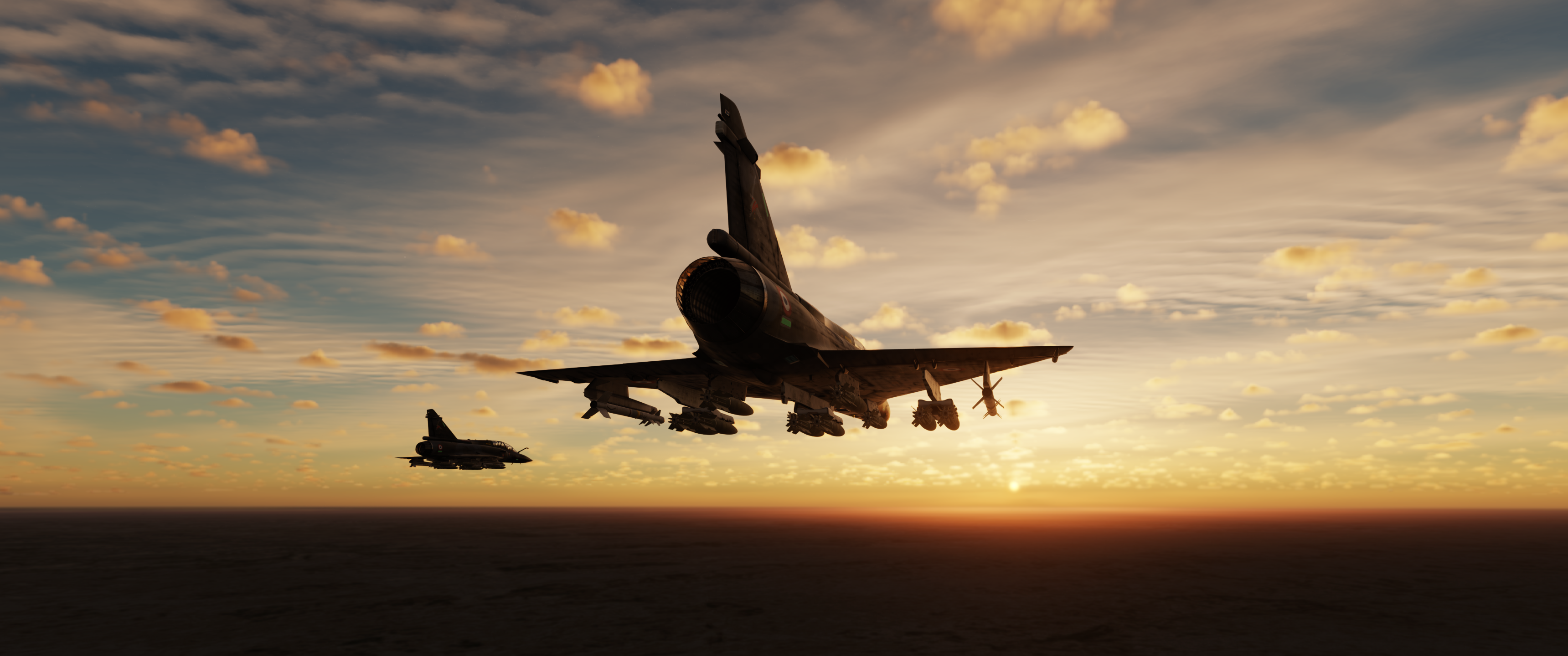
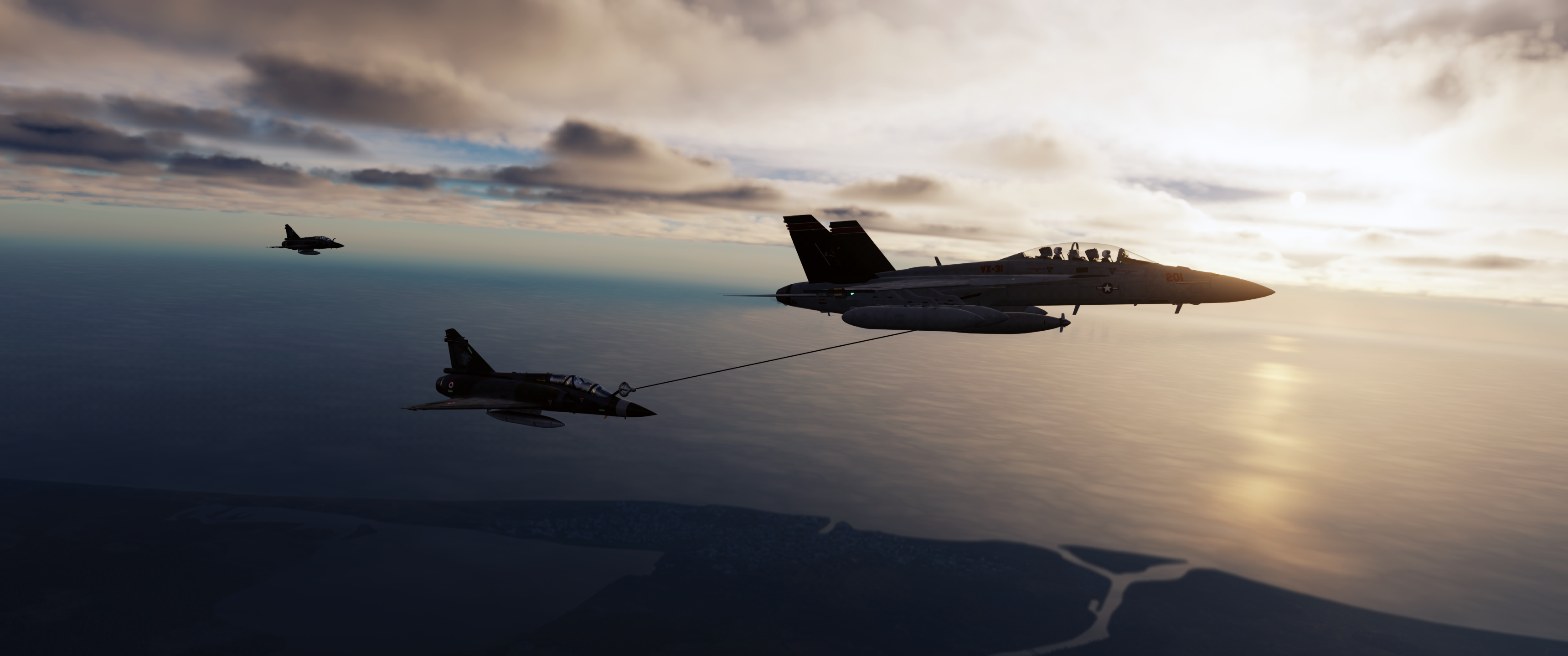
Some screenshots of Bandits different cloud effects in different lighting conditions. My group all now use his excellent weather and cloud mod, it's a total must have for all DCS virtual pilots. Personally I've been using it since it's very first release and never ever now use the default ED cloud presets. This man is a magician when it comes to "atmospherics" and he deserves much more recognition from everyone in this community and indeed should be incorporated into ED DCS by now. Thank you Bandit for all your hard work. P.S. Mirage 2000D mod by SplitAir and F-18F Tanker by CJS.
 1 point
 -
If there's a digital version of God's work, you're doing it @bandit648!1 point
-
We have no key mapping to swap gun safety trigger up and down! Need to have mapping like Ka-50 has. First command to fold it down, second command to unfold it and third command to fire! Now we have two only to fold and fire! Is it clear?1 point
-
Not at present but I think it is needed for user like us. Reported in the testers section.1 point
-
The BLU-97 submunition, present in the CBU-87, CBU-103 and AGM-154A, underperforms in DCS. The BLU-97 is supposed to be a combined effects munition which is able to have effect on air defense radars, armor, artillery, and personnel. Basically it has 3 effects. (https://www.globalsecurity.org/military/systems/munitions/blu-97.htm) Anti-armor effect, due to shaped charge able to defeat the top armor of any known tank (edit 1993 document ) (https://apps.dtic.mil/sti/pdfs/ADA264233.pdf) or 7"/200mm in other pubs linked below. Fragmentation effect, 300 pieces of shrapnel able to penetrate 6 mm steel at 20meters (https://www.clusterconvention.org/files/publications/A-Guide-to-Cluster-Munitions.pdf) Incendiary effect, due to the zirconium ring. As it stands the 4x CBU-87 (808x BLU-97) are not able to defeat a single T-72 in a small cluster, as the included trackfile demonstrates. Further reading: http://googlebordello.crushhumanity.org/projectdoomsday/blu97.html https://bulletpicker.com/bomb_-heat_-blu-97_b_-blu-97a_.html https://tinyurl.com/3h4k2mtu Test-BLU-97-T72.trk1 point
-
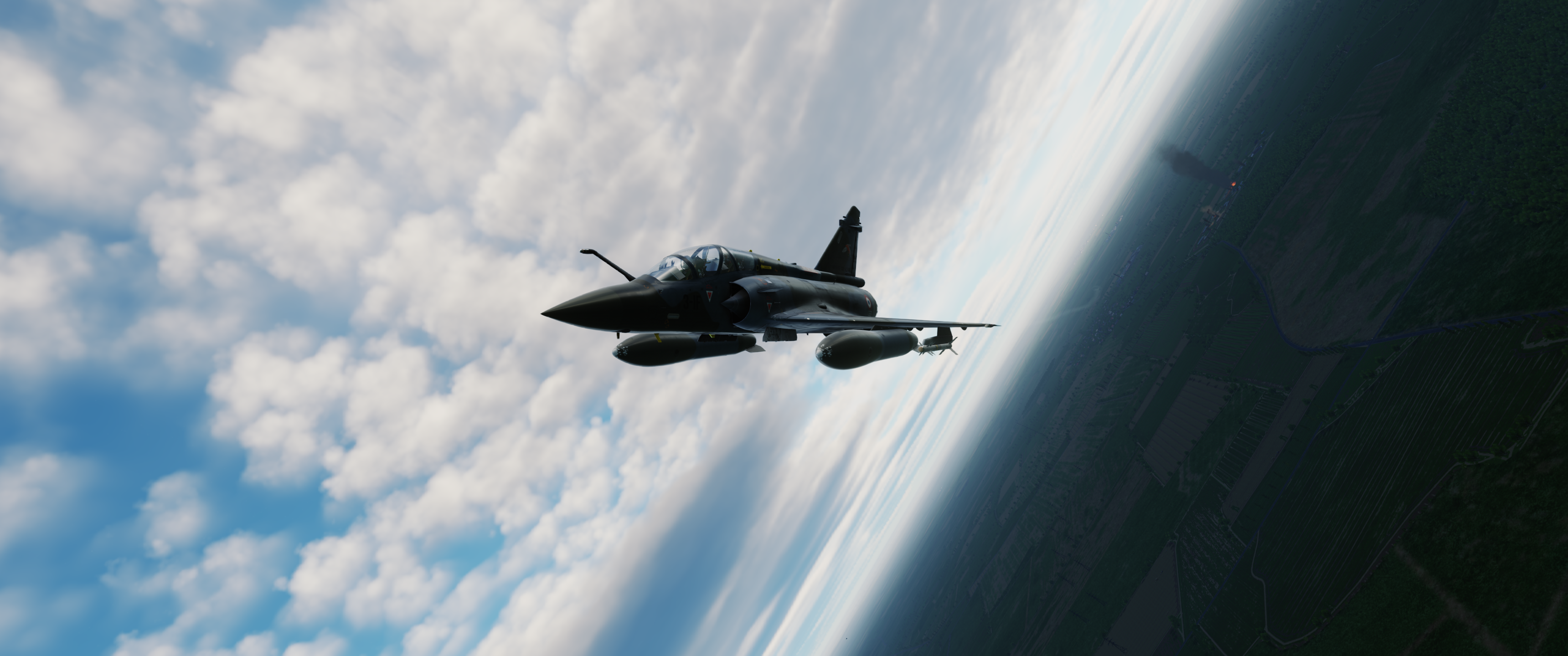
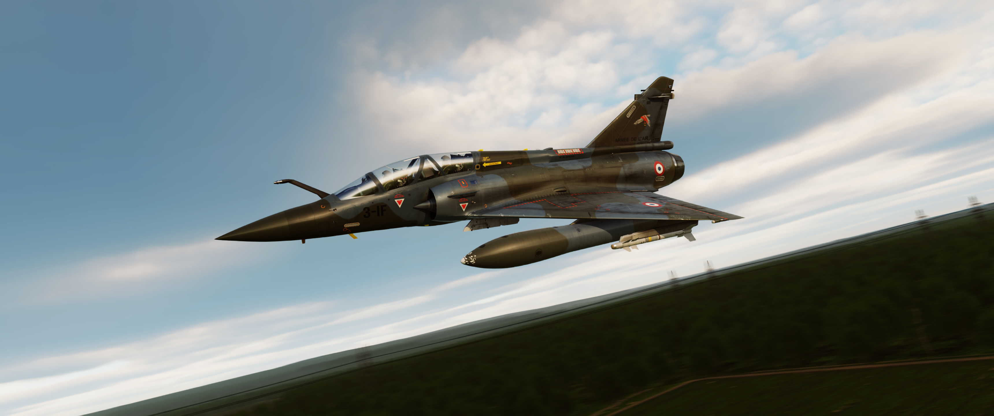
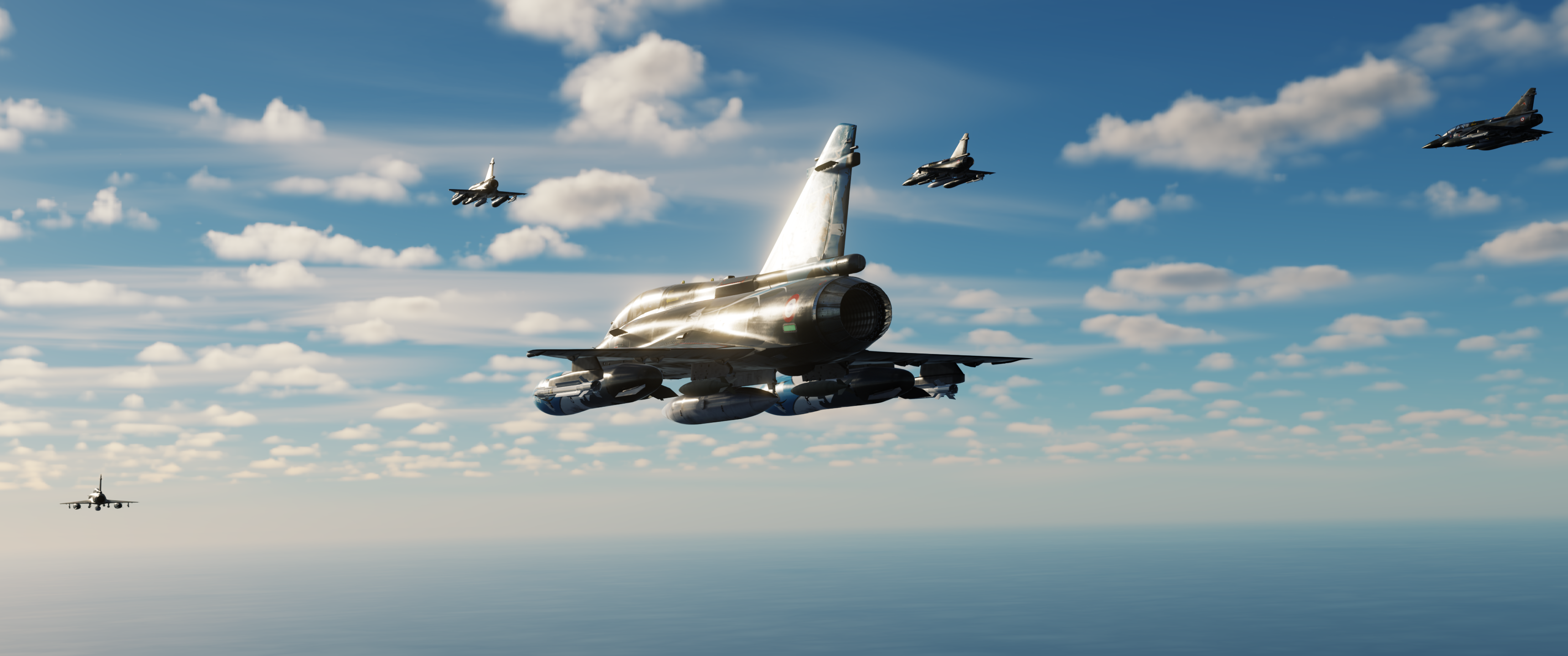
DCS: Kfir by AVIRON Introduction to the Lion Cub The Kfir is a single engine, single seat multirole, all-weather combat aircraft based on the Nesher Mirage 5 aircraft. but it is powered by the GE-J79E engine. To accommodate the engine, extensive changes to the fuselage, cooling, wing, and canards were required to retain its excellent performance. It was given the designation KFIR (Lion Cub in Hebrew). The Kfir received various upgrades and special modifications throughout its service. The Kfir entered Israeli Air Force service in the mid 70’s, and it was used until the late 90’s. It took part in the 1982 Peace for Galilee Lebanon where it carried out unescorted strike missions and received credit for shooting down a MiG-21 in a mixed-dogfight with F-15As. An early version of the Kfir without the modified wing and canards (Kfir-C1) was leased to the US Navy and Marine Corps with the designation F-21A. It was used as an aggressor in various locations. The Kfir was also exported to Ecuador, Colombia, and Sri Lanka, and it is actively in use by the private US Aggressor company, ATAC. Aviron aims to bring the Kfir to DCS in the most realistic fashion possible. The DCS Kfir will simulate the external and internal systems and state-of-the-art flight dynamics based on aerodynamic research, CFD modeling, and wind tunnel data.1 point
-
I wholeheartedly support this wish After each update I alter the values in the shadows.lua so that I have high quality in cockpit shadows only. When I want to play online I have to change back to the original values because of IC... Quite a hassle... FYI: Few months ago I've sent @BIGNEWYa DM to request for a cockpit only shadow option. In my request I included my altered shadows.lua to proof how easy it is. He promised me to share my request with the team. So lets hope that at some point ED finds some time to add this option1 point


-
Recently Browsing 0 members
- No registered users viewing this page.