drPhibes
-
Posts
1189 -
Joined
-
Last visited
-
Days Won
2
Content Type
Profiles
Forums
Events
Everything posted by drPhibes
-
Coordinates of nuclear reactor cooling towers in Syria Map
drPhibes replied to ruddy122's topic in Mission Editor
Which nuclear reactor? The Al Kibar reactor didn't have cooling towers (river water was used for cooling), and IIRC that's the only reactor in the area covered by the map. -
The 141 uses two lift engines in the front, not a fan.
-
AN/TPN-22 = deployable PAR with ACLS/ICLS.
-
Sorry to be the "ackchyually" guy, but you are wrong. You should read up on the USAF Deployable ILS system. Long story short: In 2011 Northrop Grumman was given a contract for the development of a deployable ILS system that could fit in a C-130, and be deployed within a few days. Then the project was cancelled due to budget cuts, and then given to Thales/Wilcox a few years later.
-
While this used to be the case some decades ago, back course approaches are rarely used these days (at least outside the US). Modern localizers use LPDA antennas with high front-to-back ratios ( > 20dB) which need modification in order to radiate a useful back course signal. Back course approaches are not approved for use in the EU (and Canada), and are extremely rare in the rest of the open ILS market (i.e. everywhere except the US and Russia, which have local monopolies).
-
How did you come up with that number? If the data on wikipedia is accurate (which it probably isn't, but let's just say it is for the sake of simplicity), the maximum range of the 114L is 8000m. Mach 1,3 = 450m/s. If the missile flew at a constant velocity (which it doesn't, but these are ballpark figures), the time of flight at max range would be around 18 seconds. Then add a few seconds for the acceleration phase, and you're looking at ~20 seconds.
-
resolved Well thats it, DCS has completely failed on my system.
drPhibes replied to DmitriKozlowsky's topic in Game Crash
One thing you could learn from this is that electronic components can (and do) sometimes fail, seemingly at random. The MTBF is not the same as the expected lifespan of a product. -
I'll have to tread lightly here due to the "no politics" policy on the forums, but anything that could refer to Taiwan as an independent nation is a no-go if you want to sell your product in a certain Asian country. There is a 21.000 line long list of words and phrases that are censored (presumably from the MP chat) in \DCS World\Data\censor.lua, many of which are related to Taiwan. TL;DR: don't hold your breath.
-
Yep. The "chartOffsetX = xyz" parameter in beacons.lua simply moves the showm sector xyz meters along the axis of the radaited signal. The beacons are located in the correct location (and radiate in the correct direction).
-
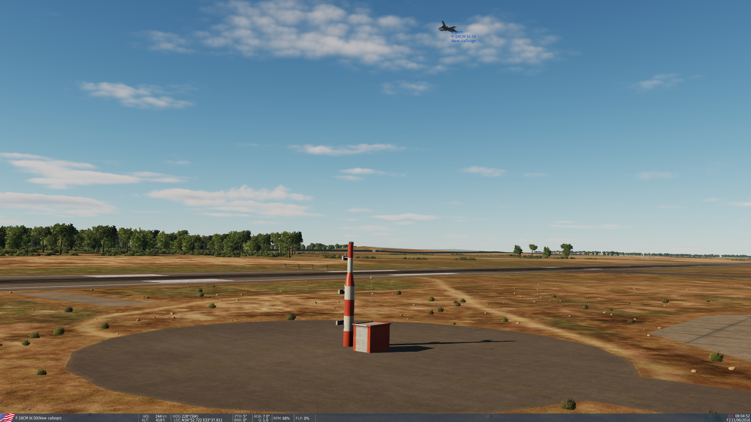
The short answer is no. The longer answer: Many/most runways with ILS in both directions are equipped with an interlock that prevents both systems from radiating at the same time. This is a requirement for CAT III (specified in ICAO Annex 10), and it is recommended for CAT I/II systems. If the ILS for both directions use the same frequency, the opposing beacons will interfere with each other, and cannot operate at the same time. The way the coverage sector of the Localizers shown in DCS is a bit misleading, as it indicates that the beacons radiate away from the runway (and thus the opposing beacons), but this is not the case IRL (see the pic below for an illustration). Simultaneous operation on the same frequency will cause erronious monitor readings on the opposing beacon, and the actual signal in space will be corrupted by the interference. /drPhibes Hardware engineer in the R&D dept. of the largest ILS manufacturer on the international market.

-
Not really. TACAN is compatible with DME (TACAN is a DME system with the bearing waveform modulated onto the ranging pulses), but no part of a VOR is compatible with TACAN.
-
It's also what ghosts do to you if you open the ark of the covenant, at least according to Lucas/Spielberg.
-
This is incorrect.
-
95 worked quite well (especially after the OSR2 service pack), but the first release of 98 was more of the "if it compiles, ship it" variety.
-
Any chance for a Yak-38 in the future after MiG-29?
drPhibes replied to IcedVenom's topic in DCS Core Wish List
A few of them: SU-22(or 17?): cancelled YF-23: cancelled Mitsubishi F-2: cancelled F-16: probably never really a project, just a few stolen renders with the author's signature/watermark removed F-84: cancelled KC-130T: cancelled TL;DR: don't get your hopes up. -
Any chance for a Yak-38 in the future after MiG-29?
drPhibes replied to IcedVenom's topic in DCS Core Wish List
Don't hold your breath. His track record is not particularly good (to put it mildly). He has announced, and then cancelled, too many projects to count. -
I stand partially corrected. There seems to be intermittent coverage behind the localizer array at LCA. This shouldn't be the case. Back course approaches aren't a thing in this area of operations. The error reported by the OP is unrelated to this. The entry for the GP in the beacons.lua is rotated 88,955947° clockwise with regard to the LOC, and the 3d model of the M-array GP mast is also rotated approximately 90° CW: { display_name = _(''); beaconId = 'airfield47_0'; type = BEACON_TYPE_ILS_LOCALIZER; callsign = 'ILC'; frequency = 110300000.000000; position = { -8990.810547, 7.217739, -210314.343750 }; direction = 48.171958; positionGeo = { latitude = 34.860647, longitude = 33.608001 }; sceneObjects = {'t:336825842'}; chartOffsetX = 3620.000000; }; { display_name = _(''); beaconId = 'airfield47_2'; type = BEACON_TYPE_ILS_GLIDESLOPE; callsign = 'ILC'; frequency = 110300000.000000; position = { -6839.587402, 5.000005, -208096.250000 }; direction = 137.127905; positionGeo = { latitude = 34.881032, longitude = 33.630902 }; sceneObjects = {'t:750780863'}; };
-
Feel free to believe whatever you like, but in this case you're wrong.
-
Modern ILS systems do not have a usable back course signal, and back course approaches are not approved for operational use in many parts of the world, including the EU. The log-periodic antennas used by all major ILS manufacturers on the international market are highly directional, and have a front-to-back ratio of around 14dB. No usable signal radiates from the back of the antenna array.
-
There is a leaked development version circulating online, but this is probably not the place to be discussing such things, as per rule 1.8...
-
Exactly! Case in point: the northernmost part of mainland Norway is approximately as far from the geographic north pole as Houston TX is form the Canadian Border.
-
He believed that the submarine launched F-15 video was real... Perhaps google can find him a good optometrist?
-
A new preview video popped up in my youtube notifications:
-
This is probably the dumbest request since "Wah, people won't let me join as a RIO in their F14. I demand that Heatblur fix this..." a few years ago.
-
Have you checked the wind settings in the mission editor?