All Activity
- Past hour
-

reported Extreme oscillations in motion after shuttle hook-up
Bojanglez replied to BrassEm's topic in Bugs and Problems
I would not necessarily say that. I believe @BIGNEWYwhen he says he keeps putting it back on the teams todo list. We motion people are just a very small group so its somewhat understandable we wont be at the top of that list. We would be overly greatful for the fix non the less. -

Visibility range of aircraft external lights
Exorcet replied to twistking's topic in DCS Core Wish List
Light visibility is indeed very important and the abrupt lack of rendering that can happen at certain distances is problematic for a number of reasons. I absolutely support more realistic lighting. -
@MiGCap1, any landing you can walk away from, I guess.
-
 Next time you see it, make a 360° turn and watch if the FFP is always on the same side, or does it wander to the other side after 180 degree of turn. If it wanders then it is no doubt the wind. If it doesn't, then there is something else wrong.
 -
reported Extreme oscillations in motion after shuttle hook-up
Tea-Pig replied to BrassEm's topic in Bugs and Problems
I now have a button on my HOTAS mapped to mute the rig movement which I press before hooking up and release just before the Shooter enables the launch. It works, but it's a bit of an immersion killer. Such a shame to have to do this because being fired off a carrier should be one of the best motion rig experiences, but with this thread now being over five years old, it seems clear that ED have zero interest in fixing the issue. -

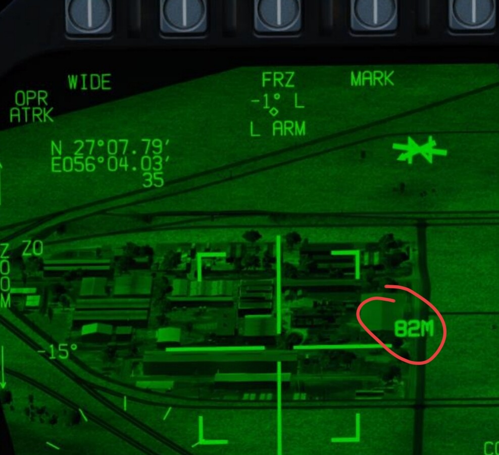
M8 -Tpod/talk-on question
Sandman Simulations replied to Hillman's topic in DCS: F/A-18C Operation Mountain Breeze Campaign
Yes just as above. As far as I understand there is no direct method to measure the distance between two points. The yardstick helps to determine the scale and thus makes it easier to estimate the distance when moving the targeting pod. Also distance given by JTAC is often just estimate.
-
How about an Ukraine-RUS map? Taiwan might be of interest too in the future ...
-
Just wanted to say thanks for developing this program! I got my CDU working with the A-10 last night and it's fantastic, really adds to the immersion.
-
 Are you looking at the right gauges for temperatures? Happened to me. I was looking at oil pressure instead of temp. Either way, when you open the cowl flaps a little and the oil cooler about 25 to 30%, you should be able to fly indefinitely with cruise settings (or max continuous).
 -
You should supply a short track so we can see more.
-
M8 -Tpod/talk-on question
razo+r replied to Hillman's topic in DCS: F/A-18C Operation Mountain Breeze Campaign
One way would be using the scale that you have on the display, that way you can estimate your way to the target. Another way would be using Offset aimpoints, OAPs, where you can conveniently enter range, bearing, elevation or grid into the system in reference to a specific waypoint. -
+1
- Today
-
DCS will likely release their global map in segments, which similar to their approach for the Afghanistan map. The global map, however it will be released, is the most likely match for a European NATO map. One map we would love to see is a Vietnam map. We have the fixed air frames and some rotary from that conflict. The planned global map would hopefully cover SE Asia and the Far East. Mike Force Team
-
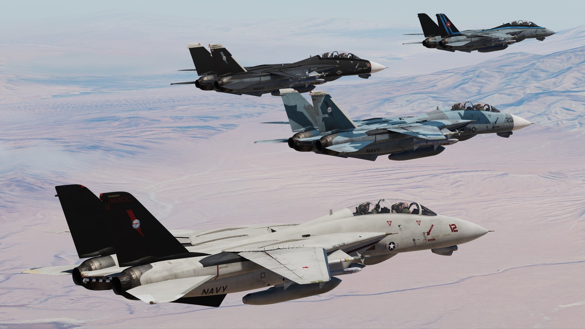
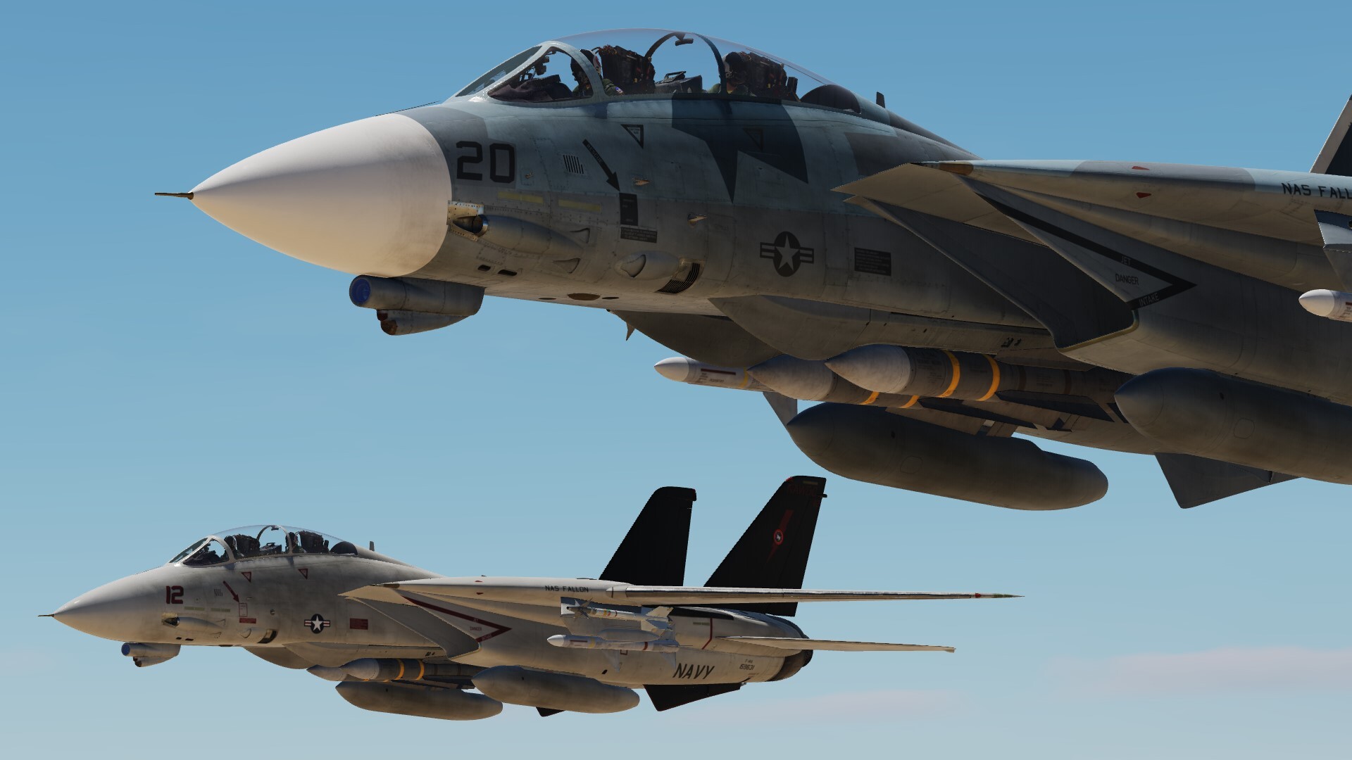
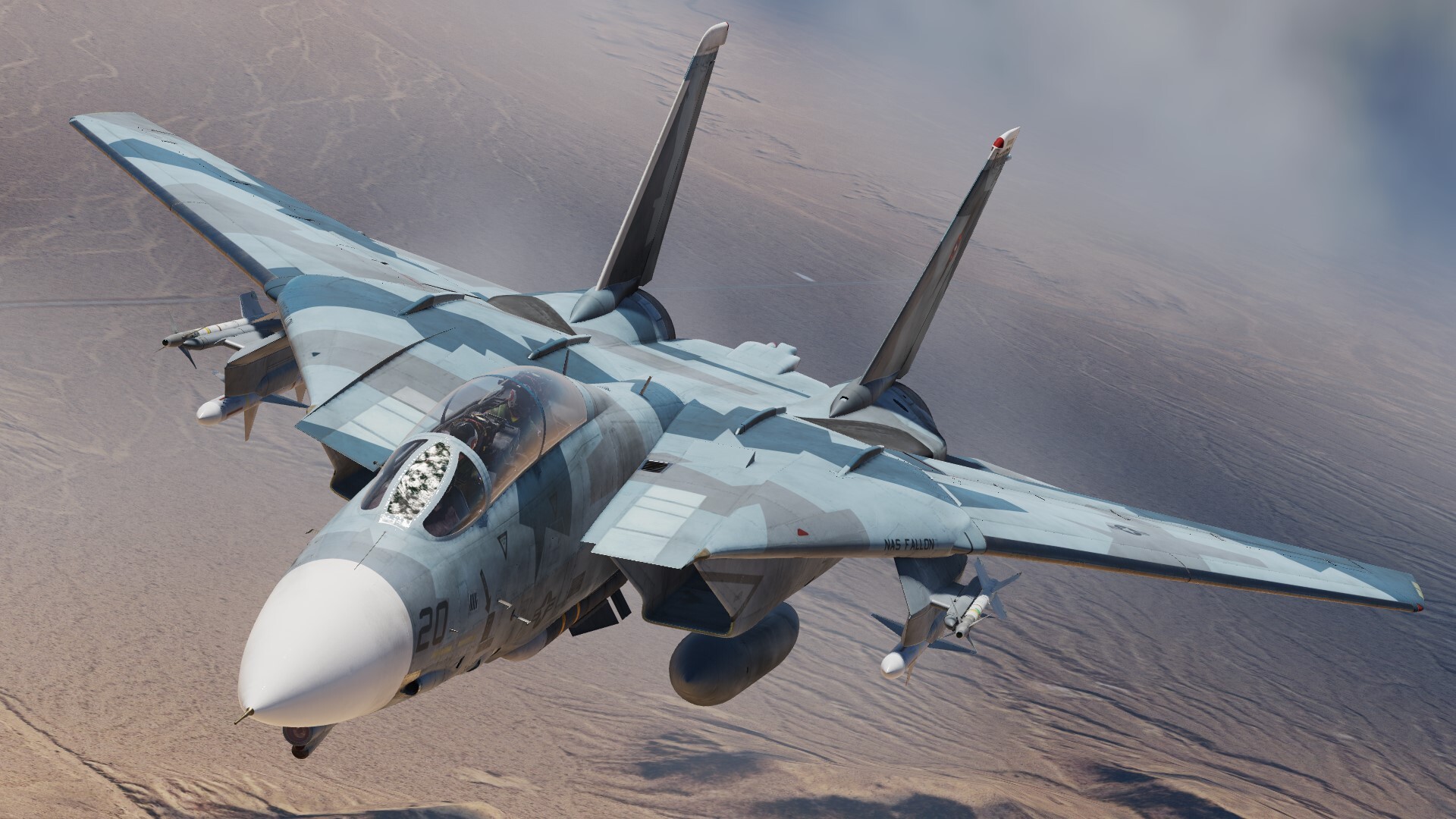
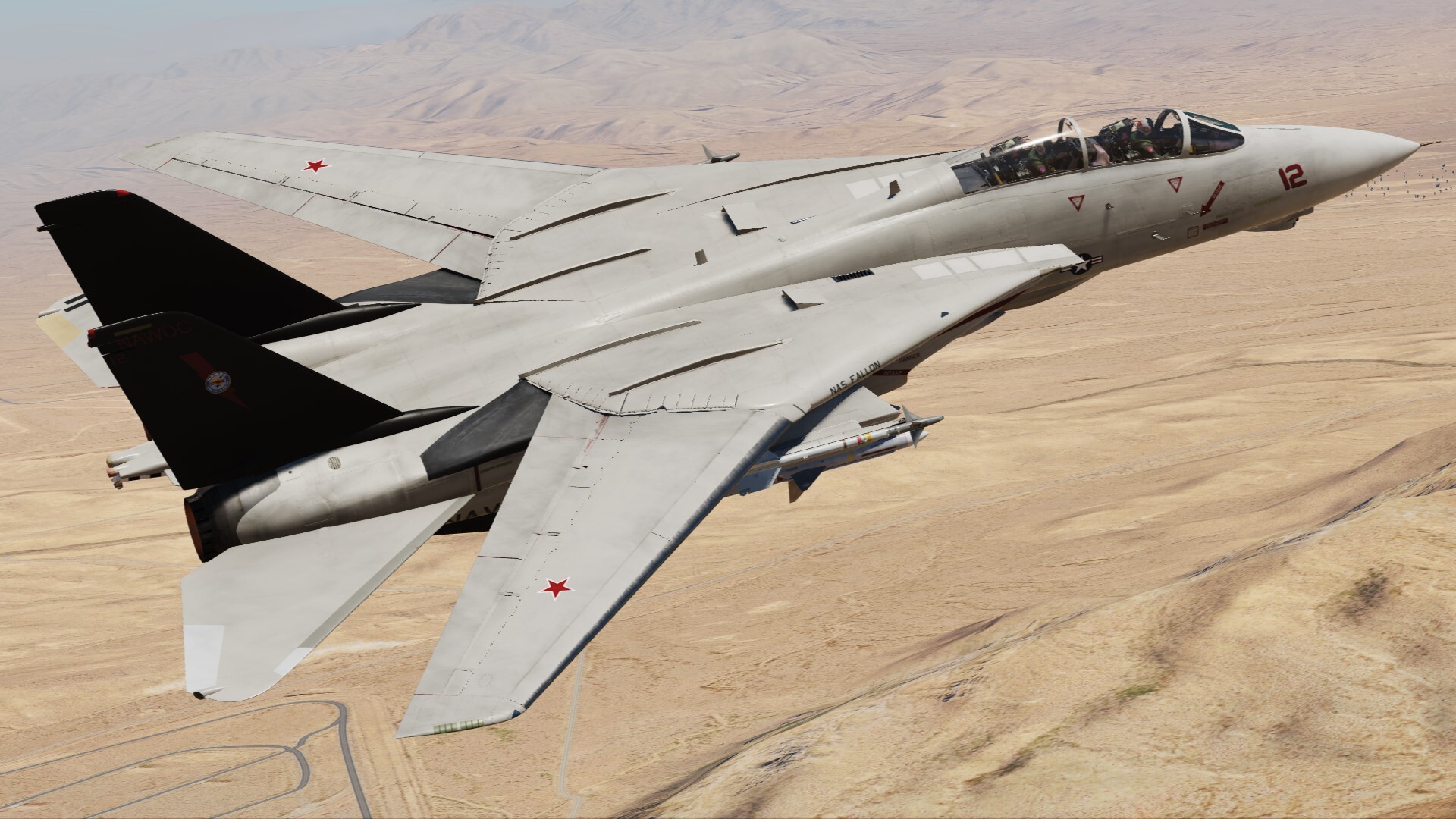
USN NAWDC F-14A 2020s fictional Remake wip
-
 No joy hear, I tried several of the solutions here, each time, engine/oil temps look fine, nothing in the red and 5 to 7 minutes after take off engine just seizes/stops. No apparent reason. Not hearing any knocking noise. Nothing complicated here, just taking off (tried both cold and hot starts) and flying low level circuits around the airfield at Rota. Clean airframe, full tank of fuel. To me, having flown Warbirds in DCS since 2017 this module seems broken. Please fix, hard to enjoy this module if the engine dies every 5 minutes and the gauges all are in the blue.
 -
Ich. Das nämlich nicht. Sorry die Vorlage war zu einladend. English: disregard plz, just kidding.
-
Vielleicht kommt ein größeres Europa oder sogar eine Weltkarte mit einem DCS 2...mit völlig neue Engine? Wer weiß was die Zeit noch mit sich bringt
-
+1. During dogfights I've had negative G blackouts even with small/short stick inputs.
-
I guess it's time to ask again - How's the (overdue) Northern section of the map coming?
-
Yes, it should say ratio. I am not sure what those numbers mean, but they are not percentage. @AeriaGloria might help with that. IDK if you noticed, but red marks move up and down, depending on environmental conditions (altitude, temperature, humidity). From bottom, marks represent cruise power, max continuous and max allowed. OTH, going over max allowed will not do anything except drooping your rotor. According to manual, you can fly up to 60 minutes with collective under your armpit. I did test it once, went a bit over 60 minutes with nothing going wrong and then got bored and jumped out.
-
This is not true, Ron came to him about the idea of developing the map and asked him, 2 weeks later he agreed. Razbam then funded the start up of the map including the geo-sat tools used to create the map and licensed by Razbam not them.
-
You dont have Enable VR headset in your DCS VR settings??? Nor eye tracking nor Quadviews enabled due to the disabled VR heaset? Is this correct?? Regards
-
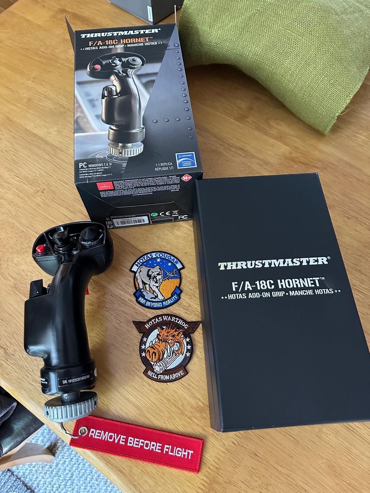
This item is in mint condition, only used a few times £75 o.n.o Buyer pays postage null
-
Made a little video overview of the T-45:
-
Reshade VR Enhancer Mod (VREM)
lefuneste01 replied to lefuneste01's topic in Utility/Program Mods for DCS World
"How can I bring the Reshade overlay up in VR? " => you can't, unfortunatelly. You need to go to 2D mirror view to setup reshade setting. It's a bit painfull... "Trying to figure out why every map has a thick, circular haze ring when I have Haze set to Zero in Reshade." => can you create a track of the issue with Su25T and post it here, so I'll be able to reproduce ? It may be something more liked to other rendering than haze...


.thumb.jpg.07d6a0318315f0131e263bfbe7904e2b.jpg)