Emmy
-
Posts
2705 -
Joined
-
Last visited
Content Type
Profiles
Forums
Events
Everything posted by Emmy
-
What you want is called an “Ephemeris” They exist online and can tell you Sun / Moon rise / set times and moon phase for a given date.
-
For now you need to craft your own activity... Canned missions are apparently in the works.
-
MGC will not help a TV image.
-
Further research reveals that the coordinates you put into Steerpoint 1 do not take unless you jog the Steerpoint Rocker UP to 127 and then back DOWN to 1. Tested on all four maps and found the following: Cold Start Vaziani Enter Coords for Beslan during warmup Beslan is 340 for 97nm Jet steered 283 for a point 516nm away Cold Start Nellis Enter Coords for Creech TACAN during warmup Creech Tacan is roughly 302/37 Jet steered 350 for a point 215nm away Cold Start Al Dhafra Enter Coords for Al Ain during warmup Al Ain is 090/58 Jet wanted to go 038/147 Cold Start Incirlik Enter Coords for Basser Al-Assad during warmup BAA is roughly 168/99 Jet wanted to go 165/121 (And this syncs with what I posted first about wanting to go farther south than the intended destination) Now, if this is correct behavior, it needs to be documented as such so people know to jog the steerpoint rocker as part of their pre-taxi or pre-takeoff checklist.
-
+1 More easily identifiable borders would be nice.
-
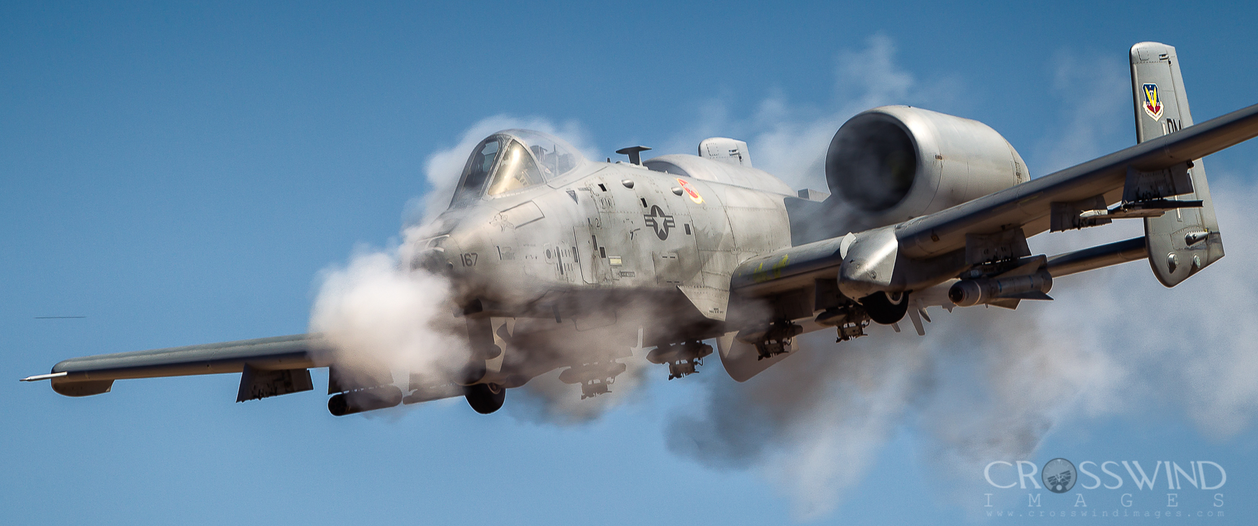
Warthog wings do not flex.
-
Cold Start and Full Alignment at Incirlik Entered Bassar Al-Assad as SP1 while the jet was warming up. Departed Incirlik and engaged autopilot to steer to SP1 While en route to SP1, entered Allepo as SP2 (The jet wandered a little as I banged in the LAT/LON for SP2 but settled back on course to SP1 after I was done with data entry) Now at this point, I disco'ed the autopilot to double check the steering to Aleppo and when I came back to SP1, I realized I was already right on top of the airbase at Bassar Al-Assad. The jet had been tracking a point well to the south. Like down by Haifa. It had not been tracking the location of the steerpoint I had created on the ground back at Incirlik. Unfortunately it won't let me upload the track.
-
Me Too...
-
I think Tiyas is a yes.
-
Used it on Syria today. Worked fine.
-
Not sure what changed (Thrust? Drag?) but flying on the Syria map, we felt that the A-10 (and the Viper) seemed to be performing better. Higher IAS and GS in both jets for the given loadouts we were carrying compared to pre-patch. I dunno...
-
Yes, they would work better than circles. Especially if they can be drawn free form.
-
Given the tenuous relations between nations covered in the new Syria map and the hot button issue of border incursions, how about the ability to designate an entire country as a Trigger Zone? Cross the border between A and B and B’s air defenses wake up and up come B’s rapid reaction flights. Just thinking out loud.
-
I run 2560X and rarely experience FPS lower than 30 anywhere on any map at max settings. I’m usually solidly between 45-60 (capped at 60) i9-9900k RTX 2070 32GB RAM 1TB SSD
-
Really nice detail putting a fence along the Turkish / Syrian border.
-

[CANNOT REPRODCUE] AoA indexer dimmer does not work
Emmy replied to Terzi's topic in Bugs and Problems
Yes it does. It will go from blacked out at the bottom of the slider to max brightness at the top. Same with the NWS Engaged / AAR Indicator on the right side. -
Did you try 56X ?
-
Cyprus (or at least a portion of it) will be coming later.
-
How do I designate a CCRP target using the TGP post update
Emmy replied to CBenson89's topic in DCS: F-16C Viper
No because just going into Point Track with the TGP doesn’t create a system target. Example: Say you have a steerpoint 30 miles ahead of you and you go into CCRP, everything is keyed to that point. The TGP goes there, you have a target box in your HUD, etc. Now say you put the TGP in Snowplow and you find a target that’s only 15 miles ahead. You can put the TGP on it in Point Track but the ordinance delivery system will still be referencing the target that’s 30 miles ahead. Now in the A-10, you could make a mark point and use that mark point as SPI but you can’t do that in the Viper, yet. You’d have to make a new steerpoint using the LAT/LON displayed on the TGP (new feature with this latest update) and make that steerpoint active to get the delivery system cued on that new target. -
How do I designate a CCRP target using the TGP post update
Emmy replied to CBenson89's topic in DCS: F-16C Viper
I may be wrong, but until we can make Mark Points and Cursor Zero the TGP to that point, we’re limited to only GBU drops on targets of opportunity found via the TGP. Right now, the CZ Point stays at the steerpoint that’s active. You could put the LAT/LON displayed on the TGP in as a steerpoint though and make that your active steerpoint and then CZ to that. I Think... -
Isn’t it supposed to be XX.XX.XXX? I thought Hornet could do this format too?
-
DCS World User Mods "WHAT IF" SCREENSHOT AND VIDEO THREAD!!!!
Emmy replied to NRG-Vampire's topic in Screenshots and Videos
Ugra provided the backdrop at Incirlik -
Not to mention the Beer Penalty imposed for rolling over the chocks!
-
Hallelujah! We can now completely black out both the AOA Indexer and the NWS confirmation when desired!!! No more NVG blow out! Thank You ED!
-
FCLP markings at Incirlik. Nice Touch!
